The best hikes from bus stations in Duinger Berg
4.6
(5987)
19,259
hikers
616
hikes
Bus station hiking trails in Duinger Berg offer access to a ridge in the Lower Saxon Hills, characterized by its formation from Thüster limestone. The region features steep northeastern flanks with limestone cliffs, including the Rotter Klippen, and disused limestone quarries in the northwest. Duinger Berg is densely covered by deciduous forests, providing a natural and scenic environment for hiking along its approximately 4.7 miles (7.5 km) ridgeline. This landscape offers varied terrain for exploration, with numerous forest tracks and…
Last updated: June 22, 2026
4.8
(9)
31
hikers
11.4km
03:14
260m
260m
Moderate hike. Good fitness required. Easily-accessible paths. Suitable for all skill levels.
4.5
(11)
31
hikers
23.8km
07:10
770m
770m
Hard hike. Very good fitness required. Easily-accessible paths. Suitable for all skill levels.

Sign up for free
4.6
(24)
63
hikers
19.6km
05:40
490m
490m
Hard hike. Very good fitness required. Easily-accessible paths. Suitable for all skill levels.
3.8
(4)
28
hikers
7.99km
02:07
70m
70m
Moderate hike. Good fitness required. Easily-accessible paths. Suitable for all skill levels.
4.7
(7)
18
hikers
11.5km
03:10
200m
200m
Moderate hike. Good fitness required. Easily-accessible paths. Suitable for all skill levels.
Get access to more routes and recommendations from other explorers.
Sign up for free
Already have an account?
Our route recommendations are based on thousands of hikes, rides, and runs completed by other people on komoot.
Start today with a free account
Your next adventure awaits.
Login or Signup
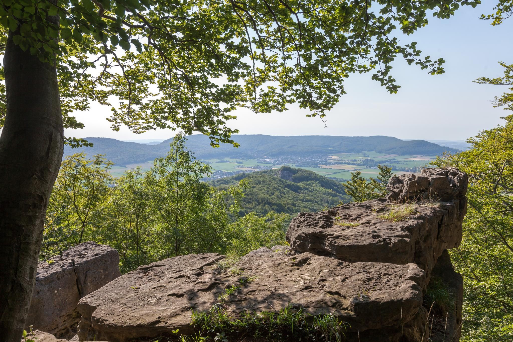
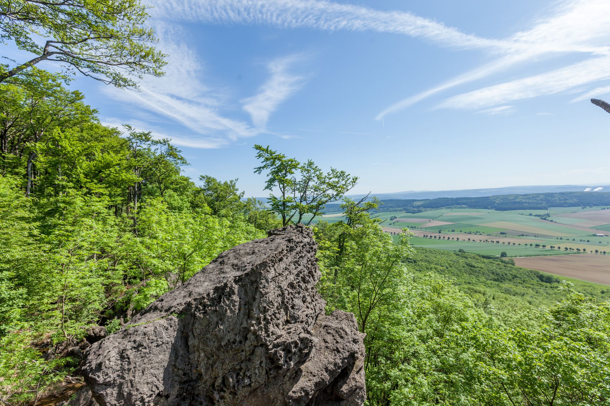

Tips from the Community


Always good for a short break.
0
0
Always beautiful here.
0
0


From the Lönsturm tower on the Kanstein hill in Thüster Berg, a sweeping view opens up across the Weser Uplands. Dense forests, rolling hills, and small villages characterize the panorama. On a clear day, the view extends as far as the Leine Uplands. The tranquil heights invite you to pause and fully appreciate the vastness of nature.
1
0
The Löns Tower stands atop the Kanstein hill in the Thüster Berg region and is a popular destination in the Weser Uplands. This stone observation tower was erected in honor of the local poet Hermann Löns. From its platform, visitors can enjoy panoramic views across the wooded hills and the Leine Uplands. The Kanstein itself is impressive with its striking limestone cliffs. Hiking trails lead through quiet forests up to the tower, making it a worthwhile destination.
1
0

The vegetation up here is quite different from that in the forest. Poor grasslands with flowering plants attract a variety of insects.
0
0

Forest path with a good, fine surface and few damaged areas.
0
0
Frequently Asked Questions
How many bus station hiking trails are available in Duinger Berg?
There are over 600 hiking routes in Duinger Berg that are accessible directly from bus stations. This includes a wide variety of trails, with nearly 300 easy routes, over 280 moderate options, and around 30 more challenging hikes.
What are some notable natural features or landmarks to see on bus-accessible hikes in Duinger Berg?
Duinger Berg is rich in natural features. You can explore areas formed from Thüster limestone, including hidden limestone cliffs. A significant attraction is the Leinebergland Balcony, a viewing platform offering expansive views. Other points of interest include Lippold's Cave and the Lügenstein natural monument.
Are there any circular walks accessible from bus stops in Duinger Berg?
Yes, many routes are circular, allowing you to start and end at the same bus stop. For example, the moderate View of Marienhagen – Leinebergland Balcony loop from Duingen is a great option, covering about 11.3 km and offering scenic views.
What do other hikers enjoy most about the trails in Duinger Berg?
The area is highly rated by the komoot community, with an average score of 4.6 stars from over 5,600 ratings. Reviewers often praise the diverse landscapes, the dense deciduous forests, and the well-maintained network of trails that make for rewarding outdoor experiences.
Are there any family-friendly hikes from bus stations in Duinger Berg?
Yes, there are many easy and moderate routes suitable for families. The region's diverse trails through forests and along ridges offer engaging experiences for all ages. Look for routes with shorter distances and less elevation gain for younger hikers.
Can I find routes with good viewpoints accessible by bus?
Absolutely. The Leinebergland Balcony is a prime example, offering stunning panoramic views across the Leinebergland. You can access routes that include this viewpoint, such as the Boundary Stone No. 63 K. H. – Leinebergland Balcony loop from Duingen, a moderate 11.4 km hike.
Are there any longer or more challenging bus-accessible hikes in the area?
For those seeking a challenge, Duinger Berg offers more difficult routes. The Kanstein Rock Path – Löns Tower on Thüster Berg loop from Marienhagen is a difficult 23.8 km hike that takes you through varied terrain and offers significant elevation changes.
What kind of landscapes can I expect on a hike from a bus station in Duinger Berg?
You can expect a mix of landscapes, primarily dense deciduous forests covering the ridge. The area is also characterized by its geological formations, including limestone cliffs and disused quarries, providing varied scenery along the trails.
Are there any specific trails that follow the ridge of Duinger Berg?
Yes, a specific hiking trail follows the crest of the Duinger Berg ridge, connecting places like Marienhagen to Brunkensen. This offers a continuous experience along the main geological feature of the area.
Are there any routes that pass by historical or cultural points of interest?
While the focus is on natural beauty, some routes may pass by historical markers or features related to the region's past. For instance, the Löns Tower on Thüster Berg – View from Lönsturm loop from Marienhagen, a moderate 14.5 km hike, takes you near the Löns Tower, a local landmark.
What is the typical duration for a bus-accessible hike in Duinger Berg?
Hike durations vary widely depending on the route's length and difficulty. You can find shorter, easy walks lasting a couple of hours, or longer, more challenging routes that can take a full day. For example, the moderate Königsallee Forest Avenue loop from Coppengrave is about 7.9 km and typically takes around 2 hours.
Most popular routes in Duinger Berg
Most popular attractions in Duinger Berg

Get inspired with the komoot mobile app


Explore more
Browse the best Hikes in other regions.
