The best walks and hikes in the Sierra Madre Mountains
6
hikers
4
hikes
Hiking in the Sierra Madre Mountains offers diverse and rugged landscapes, characterized by a mix of forests, canyons, and varied elevations. The region features dramatic peaks and deep canyons, with ecosystems ranging from lush pine and oak forests to tropical jungles. Hikers can encounter numerous waterfalls and crystal-clear rivers throughout the mountain range. The terrain varies significantly, providing different challenges and scenic views across its vast expanse.
Best hiking trails in the Sierra Madre Mountains
- The most popular hiking route…
Last updated: July 7, 2026
2
hikers
4.79km
01:54
280m
60m
Moderate hike. Great for any fitness level. Mostly accessible paths. Sure-footedness required.
2
hikers
4.33km
01:36
90m
20m
Hard hike. Great for any fitness level. Sure-footedness, sturdy shoes and alpine experience required.

Sign up for free
1
hikers
2.17km
00:45
30m
60m
Moderate hike. Great for any fitness level. Mostly accessible paths. Sure-footedness required.
4.04km
01:09
120m
50m
Easy hike. Great for any fitness level. Easily-accessible paths. Suitable for all skill levels.
3.43km
00:54
30m
30m
Easy hike. Great for any fitness level. Easily-accessible paths. Suitable for all skill levels.
1.03km
00:17
10m
10m
Easy hike. Great for any fitness level. Easily-accessible paths. Suitable for all skill levels.
1
hikers
2.42km
00:37
0m
0m
Easy hike. Great for any fitness level. Easily-accessible paths. Suitable for all skill levels.
2
hikers
2.30km
00:35
0m
0m
Easy hike. Great for any fitness level. Easily-accessible paths. Suitable for all skill levels.
2
hikers
4.08km
01:02
10m
10m
Easy hike. Great for any fitness level. Easily-accessible paths. Suitable for all skill levels.
Our route recommendations are based on thousands of hikes, rides, and runs completed by other people on komoot.
Start today with a free account
Your next adventure awaits.
Login or Signup
Popular around Sierra Madre Mountains
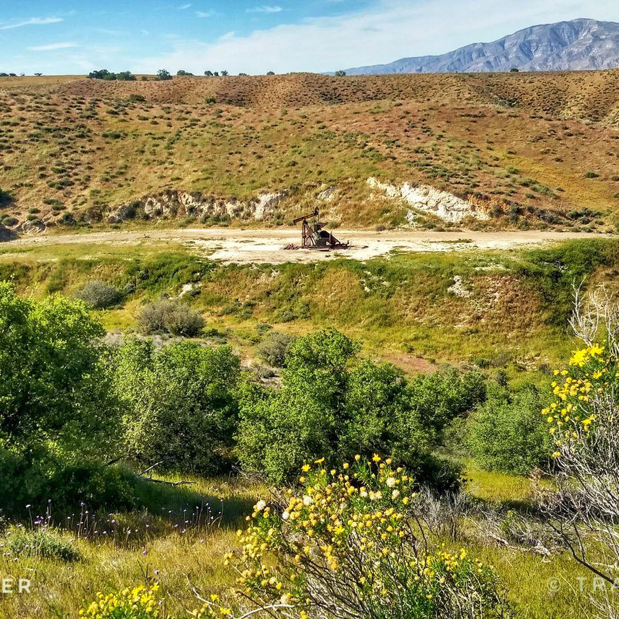
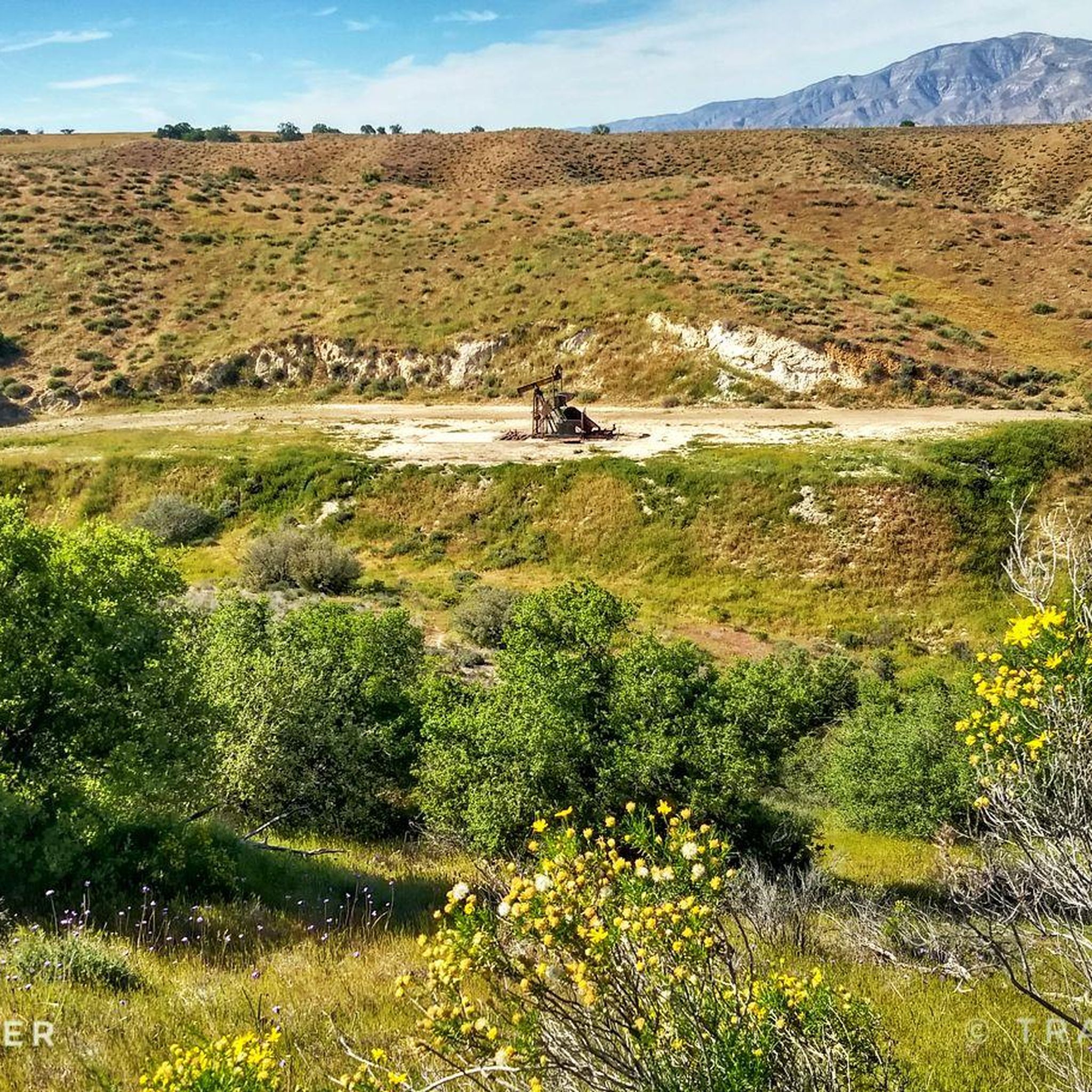
Tips from the Community

A lovely little park with a pond and a viewing platform where you can observe all the local and visiting migratory birds. With shaded areas it makes a good spot for a break.
0
0
This trail is a mixture of paved and gravel and follows the south bank of the Santa Maria River. It's perfect for a traffic free cycle with panoramic views of surrounding hills and empty countryside.
0
0

You can see all kinds of birds from here. Often migrating birds like white pelicans.
0
0
Popular for hiking and mountain bike trail heads.
1
0
Frequently Asked Questions
What kind of terrain can I expect when hiking in the Sierra Madre Mountains?
The Sierra Madre Mountains offer incredibly diverse terrain. You can expect to traverse lush pine, oak, and cloud forests, as well as tropical jungles, depending on the specific region and elevation. The range features dramatic peaks, deep canyons like the Barranca del Cobre, and numerous cascading waterfalls. Trails can range from gentle paths through botanical gardens to rugged, high-altitude routes.
Are there any easy hikes suitable for beginners in the Sierra Madre Mountains?
Yes, the Sierra Madre Mountains offer several easy hikes perfect for beginners. For example, the Nipomo Park trail is a great option, as is the Orcutt Park Loop. These trails provide a pleasant introduction to the region's natural beauty without significant elevation gain or technical challenges.
What is the best time of year to go hiking in the Sierra Madre Mountains?
The best time to hike in the Sierra Madre Mountains varies by specific location and elevation. Generally, the climate changes significantly with altitude, ranging from arid to tropical. For most areas, the dry season (typically November to May) offers more stable weather conditions and clearer trails. However, some regions with lush forests and waterfalls are particularly vibrant during the rainy season (June to October), though trails can be muddier.
Are there any challenging trails for experienced hikers?
While our current selection focuses on easier routes, the broader Sierra Madre Mountains region is known for its challenging hikes. Experienced hikers can find demanding routes in areas like Pico de Orizaba National Park or the Mount Wilson Trail, which lead through diverse landscapes to high summits with extensive views. These often involve significant elevation changes and rugged terrain.
Can I bring my dog on the hiking trails in the Sierra Madre Mountains?
Policies regarding dogs vary by specific trail and protected area within the vast Sierra Madre Mountains. It's always best to check local regulations for the particular trail you plan to visit. Many trails within national forests or parks may require dogs to be on a leash, while some sensitive ecological areas might restrict them entirely. Always ensure your dog is well-behaved and that you clean up after them.
Are there any family-friendly hiking options in the Sierra Madre Mountains?
Yes, many areas within the Sierra Madre Mountains are suitable for families. Trails like the Nipomo Park trail or the Orcutt Park Loop are relatively short and have minimal elevation, making them ideal for families with children. The region also offers pleasant walks through botanical gardens and to seasonal waterfalls, providing engaging experiences for all ages.
What kind of wildlife might I encounter while hiking?
The Sierra Madre Mountains are rich in biodiversity. Depending on the ecosystem you're in, you might spot diverse wildlife. In jungle areas, tropical birds, iguanas, and butterflies are common. Other regions are home to Mexican wolves and elegant trogons. Always observe wildlife from a respectful distance and avoid disturbing their natural habitat.
Are there any circular routes available for hiking?
Yes, there are several circular routes in the Sierra Madre Mountains. For instance, the Orcutt Park Loop is a good example of a shorter circular trail. Other options include the Hiking loop from California Highway Patrol Station 14 and the Santa Maria River Levee Trail loop from Chameleon, which offer convenient return to your starting point.
What are the typical trail lengths and durations in the Sierra Madre Mountains?
Trail lengths and durations vary significantly. Our selection of routes in the Sierra Madre Mountains ranges from shorter walks like the Orcutt Park Loop, which is just over 1 km and takes about 15 minutes, to longer excursions such as the Gene Marshall-Piedra Blanca National Recreation Trail, which is nearly 5 km and can take over an hour and a half. There are also multi-day treks available in the wider region for those seeking extended adventures.
Are there any waterfalls or significant natural features to see on the trails?
The Sierra Madre Mountains are renowned for their natural features, including numerous waterfalls and dramatic landscapes. While specific waterfalls are not detailed in our current route data, the region research highlights features like Basaseachic Falls (one of Mexico's tallest) and the Cuale River with its natural pools. Many trails offer breathtaking panoramic views of mountains, valleys, and even Banderas Bay, especially in the Sierra Madre Occidental.
What is the elevation gain like on the trails?
The elevation gain on trails in the Sierra Madre Mountains can vary greatly. For example, the Orcutt Park Loop has a minimal gain of around 12 meters, making it very accessible. In contrast, the Gene Marshall-Piedra Blanca National Recreation Trail involves a more substantial ascent of approximately 280 meters. The wider Sierra Madre region includes towering peaks like Pico de Orizaba, offering hikes with significant and challenging elevation gains.
Most popular routes in the Sierra Madre Mountains

Get inspired with the komoot mobile app


Explore more
Browse the best Hikes in other regions.
