
The best walks and hikes in Vega Baja Municipio
5.0
(2)
49
hikers
5
hikes
Hiking in Vega Baja Municipio, Puerto Rico, offers diverse experiences across its varied topography. The region is characterized by a northern limestone karst area, featuring unique geological formations, alongside coastal plains and patches of forest. Hikers can explore trails that traverse these distinct landscapes, including paths near the Cibuco River and along the Atlantic coast. This mix of terrain provides a range of hiking opportunities for different preferences.
Best hiking trails in Vega Baja Municipio
- The most popular hiking route…
Last updated: September 1, 2026
5.0
(1)
16
hikers
7.94km
02:05
70m
70m
Moderate hike. Good fitness required. Easily-accessible paths. Suitable for all skill levels.
5.0
(1)
18
hikers
4.89km
01:17
40m
40m
Easy hike. Great for any fitness level. Easily-accessible paths. Suitable for all skill levels.

Sign up for free
5
hikers
2.39km
00:37
20m
20m
Easy hike. Great for any fitness level. Easily-accessible paths. Suitable for all skill levels.
4
hikers
7.24km
01:52
40m
40m
Easy hike. Great for any fitness level. Easily-accessible paths. Suitable for all skill levels.
6
hikers
5.11km
01:20
40m
40m
Easy hike. Great for any fitness level. Easily-accessible paths. Suitable for all skill levels.
Our route recommendations are based on thousands of hikes, rides, and runs completed by other people on komoot.
Start today with a free account
Your next adventure awaits.
Login or Signup


Frequently Asked Questions
How many hiking trails are available in Vega Baja Municipio?
Komoot currently lists 4 hiking routes in Vega Baja Municipio. These routes range from easy to moderate difficulty, offering options for various skill levels.
What kind of terrain can I expect on hikes in Vega Baja Municipio?
Vega Baja Municipio features diverse terrain, including unique limestone (karst) formations, coastal paths, and lush forest patches. You can expect a mix of rocky outcrops, tropical foliage, and potentially uneven or slippery surfaces, especially near water features. Sturdy, grip-friendly footwear is highly recommended.
Are there any easy hiking trails suitable for beginners in Vega Baja Municipio?
Yes, most of the trails in Vega Baja Municipio are considered easy. For a pleasant coastal walk, consider the Hiking loop from Isla de Cerro Gordo, which is just under 5 km. Another accessible option is the shorter Hiking loop from Los Tubos MTB Trail, which is about 2.4 km.
What are some natural features or landmarks I can see while hiking in Vega Baja Municipio?
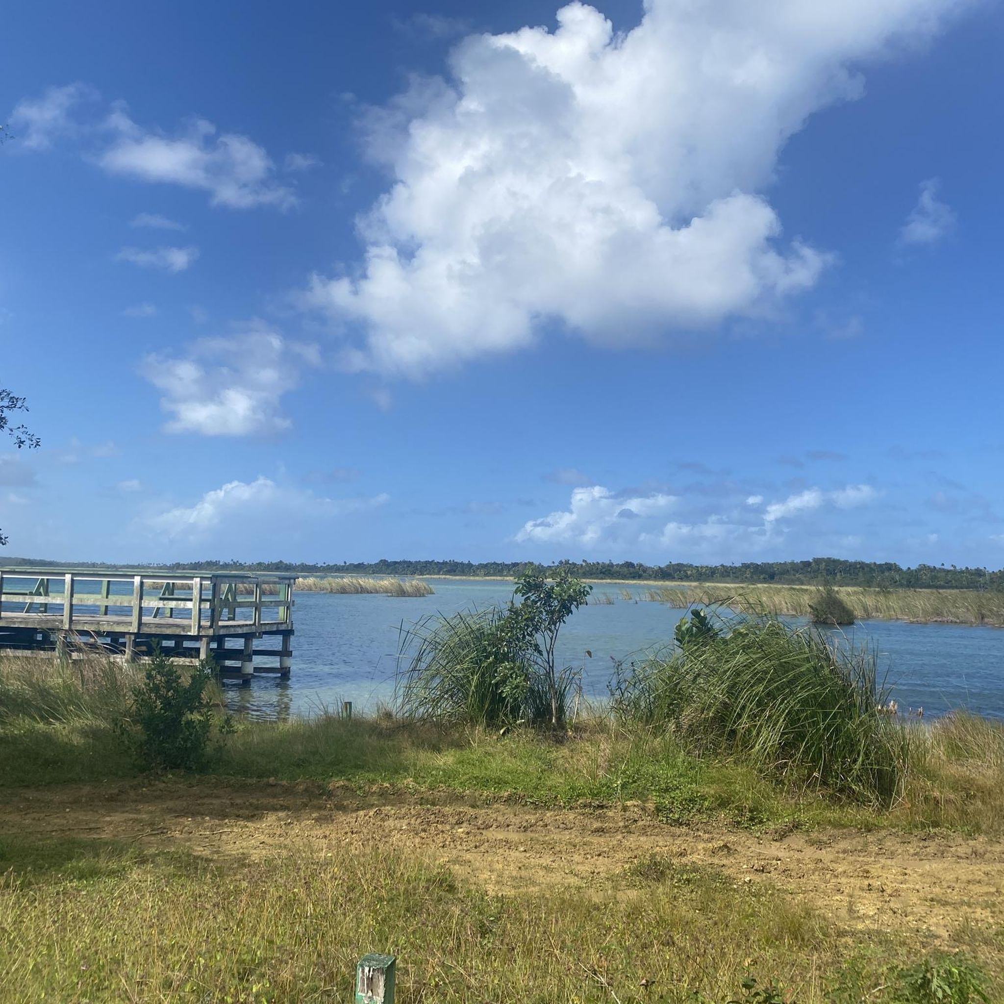
The region is rich in natural beauty. You can explore the distinctive karst landscape, discover ancient Taíno rock carvings along the Cibuco River, or visit sites like Cueva del Indio with its petroglyphs and ocean views. Many trails also lead to beautiful coastal areas or through forest patches. For a moderate challenge with varied scenery, try the Hiking loop from Reserva Natural Hacienda La Esperanza.
Are there any circular hiking routes in Vega Baja Municipio?
Yes, all the routes listed on Komoot for Vega Baja Municipio are circular. This includes the Playa Pública loop from Encanto Beach Club Bar & Grill, which offers a scenic 7.2 km coastal experience, and the Hiking loop from Isla de Cerro Gordo.
What is the best time of day to go hiking in Vega Baja Municipio?
It's generally advisable to hike in the early morning to avoid the heat, especially given the tropical climate. This allows for a more comfortable experience and helps you make the most of the cooler temperatures.
Are there any trails that lead to swimming spots or waterfalls?
While specific trails listed here may not directly lead to them, the Vega Baja region is known for natural freshwater swimming holes like Charco Azul and natural pools at El Trece Recreational Area. Exploring the Arenales Caves area can also involve hiking and swimming through natural formations and discovering waterfalls. You might find these spots as part of local tours or by exploring areas near trails like the Hiking loop from Los Tubos MTB Trail, which leads to a secluded beach.
What do other hikers enjoy the most about hiking in Vega Baja Municipio?
The area is highly rated by the komoot community, with an average score of 4.5 stars. Reviewers often praise the unique natural landscapes, the opportunity to explore diverse environments from coastal views to forest paths, and the generally accessible nature of the trails.
What should I bring or wear for hiking in Vega Baja Municipio?
Given the tropical climate and varied terrain, it's essential to carry ample water to stay hydrated. Wearing sturdy, grip-friendly footwear is crucial due to potentially uneven and slippery surfaces. Light, breathable clothing is also recommended, especially if hiking during warmer parts of the day.
Are there any family-friendly hiking options in Vega Baja Municipio?
Many of the easy, shorter loops are suitable for families. The Hiking loop from Los Tubos MTB Trail, at just 2.4 km, is a great option for families looking for a shorter adventure. The Parque Ecológico Ceiba Pentandra also offers accessible paths for nature exploration and birding.

Get inspired with the komoot mobile app


Explore more
Browse the best Hikes in other regions.
