The 4 Most Amazing Peaks around Theilenhofen
Mountain peaks near Theilenhofen are characterized by rolling hills and forests rather than dramatic alpine formations. The region, situated in Bavaria, Germany, offers elevated landscapes ideal for hiking and enjoying nature. Notable features include the Hahnenkamm low mountain range, providing scenic views across the countryside. The area provides opportunities for outdoor enthusiasts to explore its natural beauty and historical heritage.
Best mountain peaks around Theilenhofen
- The most popular mountain peaks is Gelber Berg (Gelbe Bürg) Viewpoint, a viewpoint that…
Last updated: August 11, 2026
Gelber Berg (Gelbe Bürg) Viewpoint
Highlight • Viewpoint
A map shows the directions with prominent sights.
Translated by Google •
Tip by

Ascent from Sammenheim to Gelber Berg
Highlight (Segment) • Climb
Driveway start town exit or junction Sammenheim (altitude 470 m) up to about 1.8 km with about …
Translated by Google •
Tip by

Sign up now to discover places like this
Get recommendations on the best single tracks, peaks, & plenty of other exciting outdoor places.
Sign up for free
Hörlesbuck (635 m)
Highlight • Mountain Pass
Translated by Google •
Tip by

Roter Buck
Highlight • Summit
Showing Translation
Tip by

Efferaberg
Highlight • Summit
Translated by Google •
Tip by
Start today with a free account
Your next adventure awaits.
Login or Signup


Tips from the Community

The Rote Buck is a typical, densely wooded crest of the Franconian Jura, extending south of Spielberg Castle in the Herrleinsholz forest area. The hill is located near the small village of Obelshof. The hiking trail, along which one can walk the Rote Buck, is a beautiful forest path through mixed deciduous forest, largely left in its natural state.
0
0

The Efferaberg is the third-highest point in Middle Franconia and a magnificent vantage point. From here, you can enjoy sweeping views over the Franconian landscape.
0
0
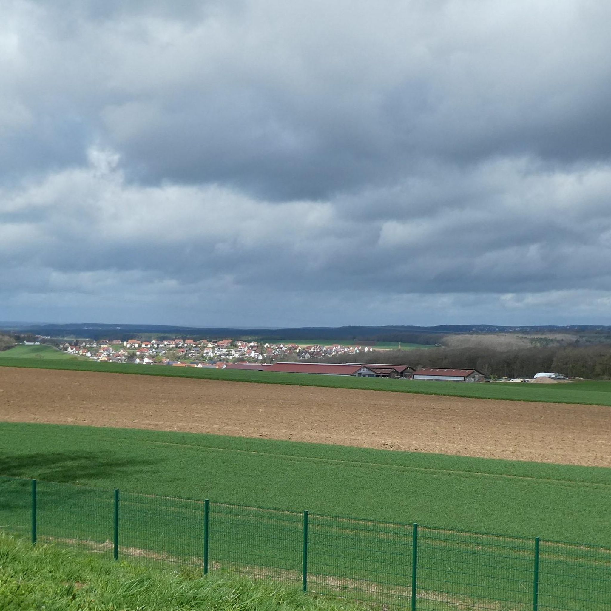
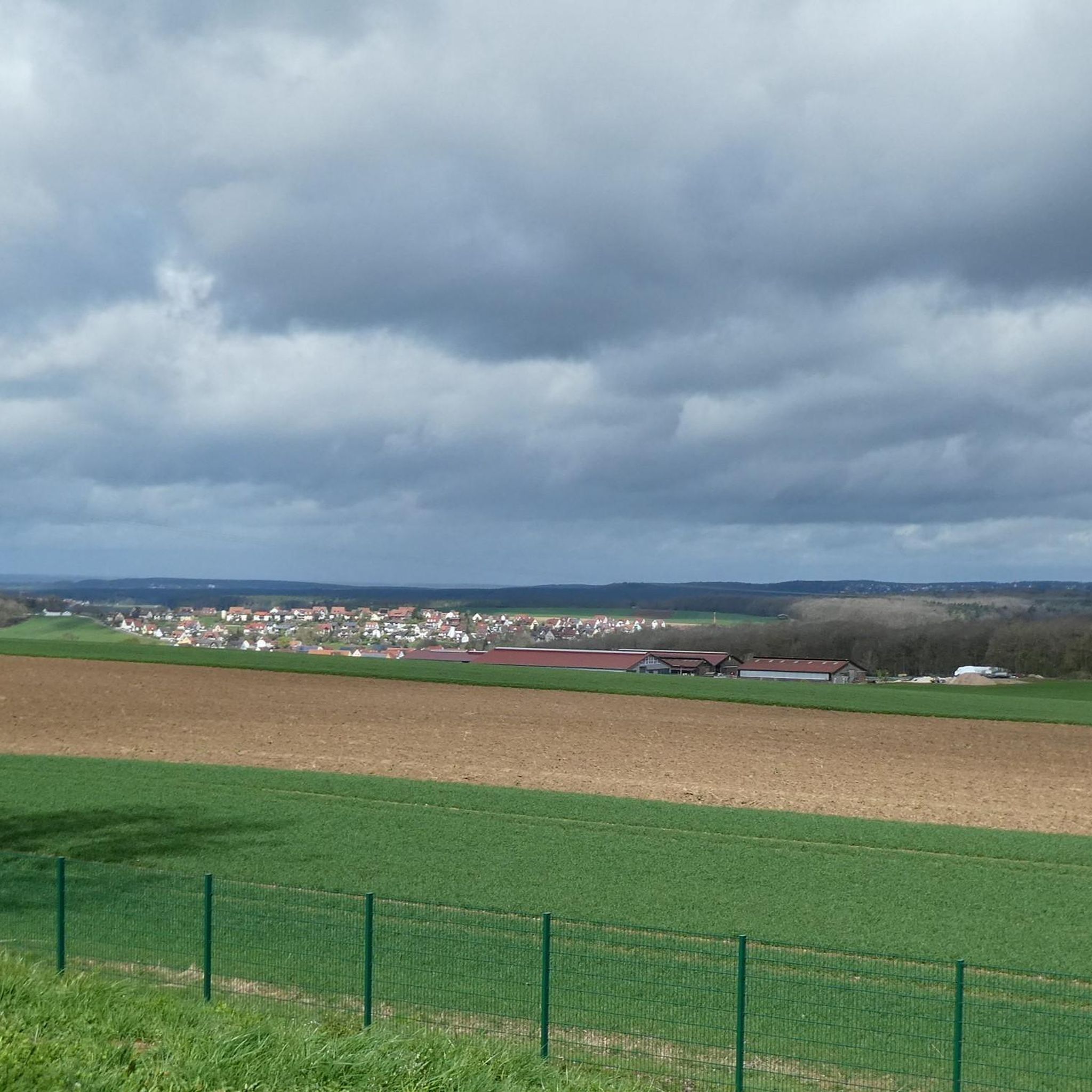
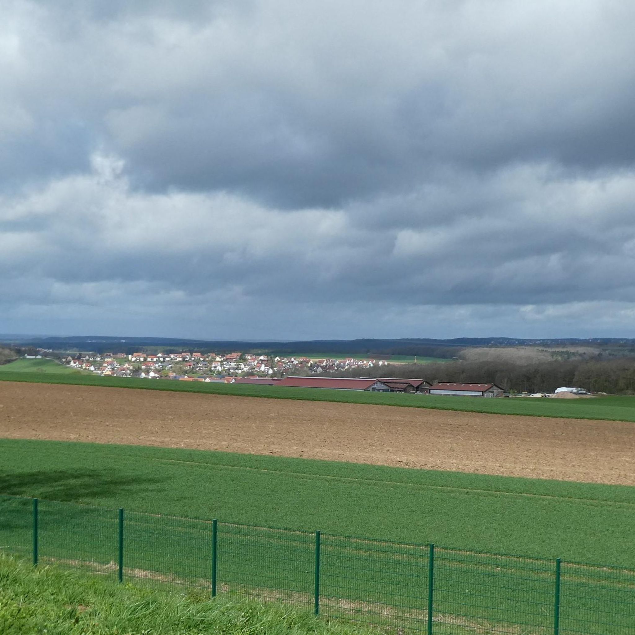
The Hörlesbuck in Heidenheim-Degersheim is the sixth highest point in Middle Franconia and offers beautiful views over the rolling hills of the area.
0
0

There is a free telescope to see the surroundings in more detail, several places to sit and a great view. A map shows the directions with prominent sights.
12
0
There is a free telescope to see the surroundings in more detail, several places to sit and a great view. A map shows the directions with notable sights. The Hesselberg (the highest elevation in Middle Franconia), the Altmühlsee and the Brombachsee are listed. But the small towns with their church towers also fit together wonderfully to create a wonderful panorama.
9
0

The Hörlesbuck (635 m above sea level) is one of the highest road crossings on the Hahnenkamm.
0
2

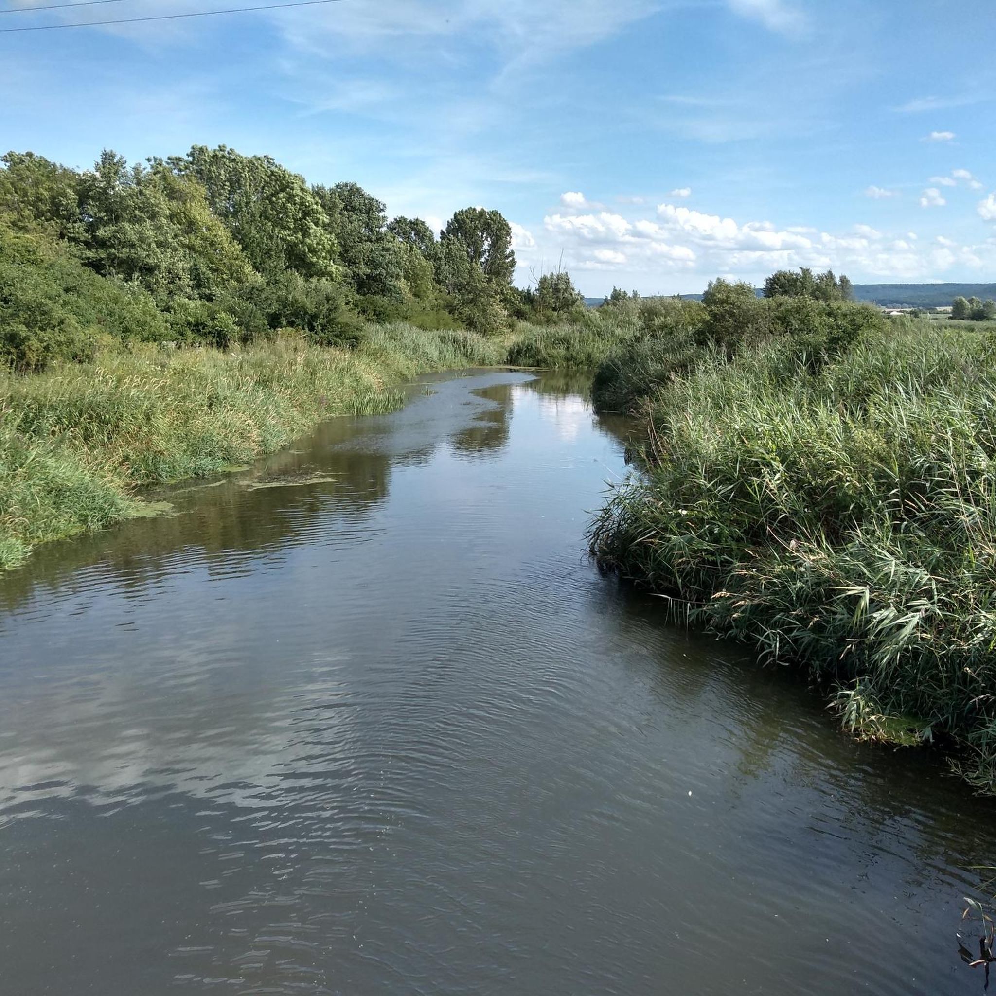
The Yellow Mountain, also known as the Yellow Castle, is home to botanical treasures. Here you should definitely stay on the paths / paths. The view is also fantastically beautiful.
8
0

very nice view all around, very quiet place and nice paths
6
0
Frequently Asked Questions
What kind of elevated landscapes can I explore around Theilenhofen?
The region around Theilenhofen features scenic rolling hills and forests, rather than dramatic, towering peaks. You'll find beautiful elevated areas like the Hahnenkamm low mountain range, offering serene environments for hiking and enjoying nature. The highest point in the broader district is Dürrenberg at 673 meters (2,208 feet).
Which are the most notable viewpoints among the peaks near Theilenhofen?
For breathtaking panoramic views, visit the Gelber Berg (Gelbe Bürg) Viewpoint. From here, you can see the Gunzenhausen Plain, the Franconian Lake District, and even the Weißenburger Land. It features a free telescope and seating. Another excellent spot is Efferaberg, which is the third-highest point in Middle Franconia and offers magnificent sweeping views over the Franconian landscape.
Are there historical sites to discover while exploring the peaks?
Yes, the region combines natural beauty with historical significance. The Gelber Berg (Gelbe Bürg) Viewpoint is also a historical site, with finds suggesting habitation since the Neolithic period. Additionally, the broader area includes sites like the Roman Fort (Kastell Theilenhofen), which can be incorporated into your outdoor excursions.
What are some challenging ascents for experienced hikers?
For a more challenging experience, consider the Ascent from Sammenheim to Gelber Berg. This route involves a significant elevation gain over a short distance, with slopes up to 22% in its upper third, making it a demanding climb.
Are there family-friendly options for exploring the elevated areas?
Absolutely. The Gelber Berg (Gelbe Bürg) Viewpoint is considered family-friendly, offering amenities like a telescope and seating areas, making it suitable for all ages to enjoy the views. Many trails through the rolling hills are also accessible for families.
What other outdoor activities can I do near these elevated areas?
Beyond hiking, the region offers diverse outdoor activities. You can explore various MTB Trails around Theilenhofen, enjoy Running Trails around Theilenhofen, or discover more Hiking routes around Theilenhofen. These guides provide options for different skill levels and interests.
What is the best time of year to visit Theilenhofen for hiking and views?
The rolling hills and forests around Theilenhofen are beautiful year-round. Spring and autumn offer pleasant temperatures and vibrant colors, ideal for hiking. Summer provides lush greenery and longer daylight hours. Even winter can be charming, with snow-covered landscapes, though some trails might require appropriate gear.
Where can I find a high road crossing with good views?
The Hörlesbuck (635 m) is one of the highest road crossings on the Hahnenkamm. It offers beautiful views over the rolling hills of the area and is the sixth highest point in Middle Franconia.
Are there any densely wooded areas for a more secluded hiking experience?
Yes, the Roter Buck is a typical, densely wooded crest of the Franconian Jura. The hiking trail here winds through a beautiful forest path, largely left in its natural state, offering a serene and immersive nature experience.
What kind of natural features can I expect to see on the trails?
The trails around Theilenhofen lead through diverse natural settings. You'll encounter lush forests, open meadows, and varied flora and fauna. Elevated points provide picturesque vistas of the surrounding Bavarian countryside, including views of lakes like Altmühlsee and Brombachsee from certain viewpoints.
Are there easy hiking trails suitable for beginners?
Yes, the region offers trails suitable for various fitness levels. For example, the 'View of the Roman Bath Ruins – Roman Bath of Theilenhofen loop from Theilenhofen' is an easy 5.3 km hiking route. You can find more options in the Hiking around Theilenhofen guide.
Most popular routes around Theilenhofen
Most popular attractions around Theilenhofen

Get inspired with the komoot mobile app


Explore more
See even more amazing summits around Theilenhofen with these guides:
