The best mountain hikes around Theilenhofen
7
hikers
2
hikes
Mountaineering routes around Theilenhofen traverse a landscape characterized by rolling hills, dense woodlands, and scenic lake regions within Landkreis Weißenburg-Gunzenhausen. The terrain typically features moderate elevation changes, making it accessible for various skill levels. This area offers a blend of natural beauty with paths winding through forests and alongside bodies of water.
Best mountaineering routes around Theilenhofen
- The most popular mountaineering route is Spalt City Brewery – Schnittlinger Loch loop from Spalt, a 5.0 miles (8.0 km) trail that…
Last updated: July 5, 2026
2
hikers
8.05km
02:15
160m
160m
Moderate mountaineering route. Good fitness required. Easily-accessible paths. Suitable for all skill levels.
1
hikers
Moderate mountaineering route. Good fitness required. Easily-accessible paths. Suitable for all skill levels.

Sign up for free
2
hikers
18.4km
05:13
420m
420m
Hard mountaineering route. Very good fitness required. Easily-accessible paths. Suitable for all skill levels.
2
hikers
12.1km
03:06
50m
50m
Moderate mountaineering route. Good fitness required. Easily-accessible paths. Suitable for all skill levels.
Our route recommendations are based on thousands of hikes, rides, and runs completed by other people on komoot.
Start today with a free account
Your next adventure awaits.
Login or Signup

Tips from the Community


Currently closed until November 2025
0
0

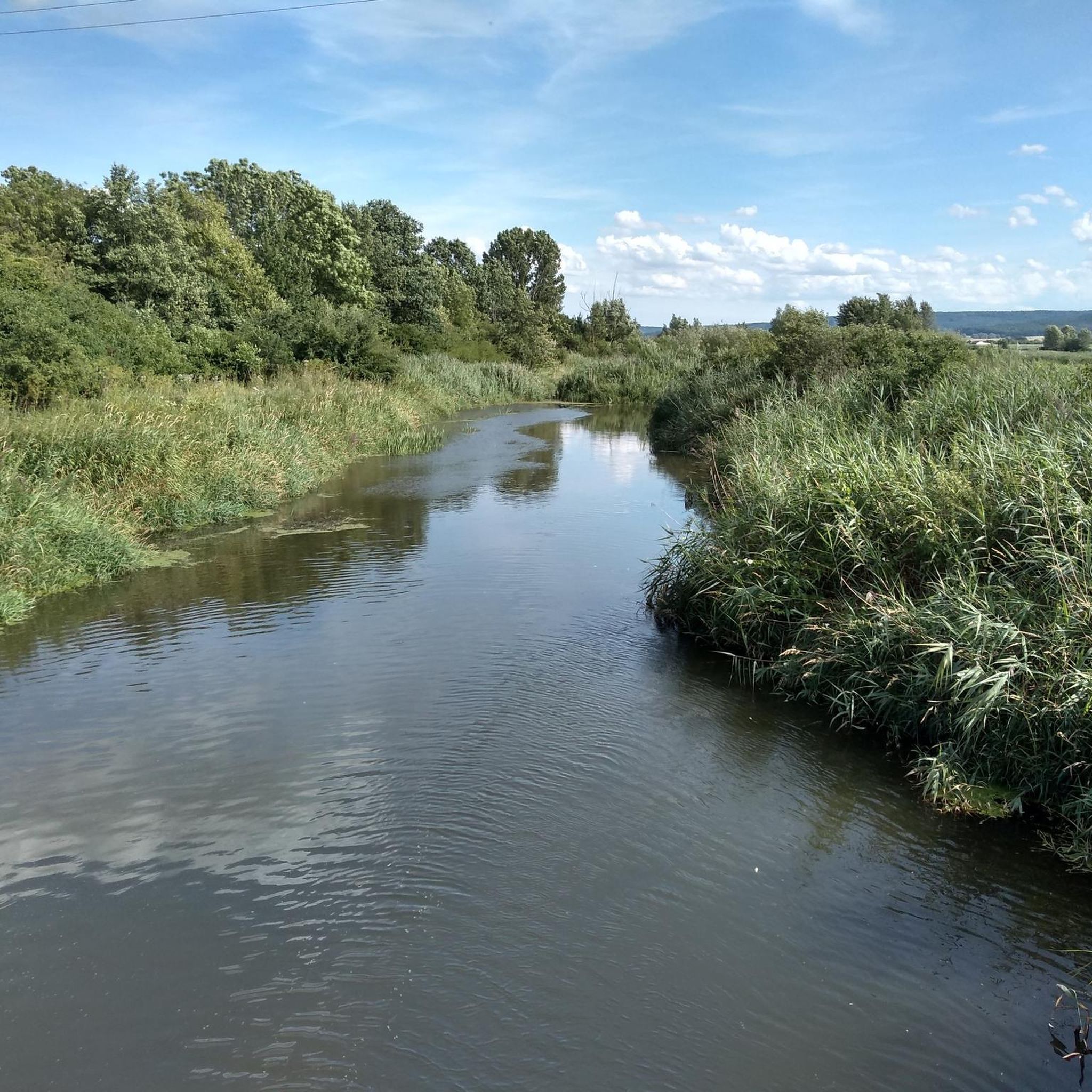
You feel like you're in the mountains. You can already hear the bells hanging on the Highland cattle from afar. If you're lucky, they'll be very close to the wooden walkways.
1
0

Brombachsee webcam with weather data https://www.wwa-an.bayern.de/themen/ueberleitung_donau_main/webcam/index.htm
1
0

It was built in 1422 under Prince-Bishop Johann II von Heideck as one of two entrances and exits to the city. The tower is 26 meters high and has five stories and seven levels. From 1763 to 1939, a watchman (= watchman), who often doubled as the city bandmaster, occupied the tower. A thorough renovation began in 1974. In 1997, the local history society established the craftsmen's workshops here. [Source: https://spalt-tourismus.de/download/abk89lk5ee0tf9hnjp1muubk3u5/Geschichtsweg21_02.pdf?ITServ=a30biqre2puc6cijmhq5dro5sob&l=95454463 ]
1
0
The Roman Catholic, listed branch church of St. Ägidius is located in Hagsbronn, a municipality in the town of Spalt in the Roth district (Middle Franconia, Bavaria). The building is registered as a listed building in the Bavarian Register of Historic Monuments under monument number D-5-76-147-222. Residents of the Roman Catholic faith are parishioners of St. Emmeram (Spalt) in the Großweingarten-Abenberg-Spalt-Theilenberg parish association in the Roth-Schwabach deanery of the Diocese of Eichstätt. [Source: https://de.wikipedia.org/wiki/St._%C3%84gidius_(Hagsbronn) ]
1
0

Not far from the brewery is the well-preserved, striking upper gate
0
0
Very beautifully landscaped grounds
0
0
Frequently Asked Questions
What is the typical length and duration of mountaineering routes around Theilenhofen?
Mountaineering routes in the Theilenhofen area vary in length and duration. For example, the Spalt City Brewery – Schnittlinger Loch loop from Spalt is about 5.0 miles (8.0 km) and takes around 2 hours 14 minutes. A longer option, like the Igelsbachsee Dam – Brombachsee Dam and Panoramic Views loop from Allmannsdorf, covers 9.8 miles (15.8 km) and typically takes about 4 hours 7 minutes.
Are there family-friendly mountaineering options in the Theilenhofen area?
The mountaineering routes around Theilenhofen are generally characterized by rolling hills and moderate elevation changes, making many of them suitable for families. Routes like the Great Brombach Lake – Little Brombach Lake loop from Langlau, which is 7.7 miles (12.3 km) with minimal elevation gain, offer pleasant lakeside scenery and forest paths that can be enjoyed by various age groups.
Are there more challenging mountaineering routes for experienced hikers?
While many routes are moderate, there are options for those seeking a greater challenge. The Jakobbuck – Galgenberg loop from Spalt is classified as difficult, covering 11.5 miles (18.4 km) with significant elevation changes, providing a more strenuous experience.
When is the best time of year to go mountaineering in Theilenhofen?
The region's landscape of rolling hills and woodlands makes it enjoyable for mountaineering throughout much of the year. Spring and autumn offer pleasant temperatures and vibrant scenery, while summer provides longer daylight hours. Even in winter, with appropriate gear, some trails can be explored, though conditions may vary.
Are most mountaineering routes around Theilenhofen circular?
Yes, many of the popular mountaineering routes in the Theilenhofen area are designed as circular loops. This allows you to start and end your hike at the same point, such as the Spalt City Brewery – Schnittlinger Loch loop from Spalt or the Igelsbachsee Dam – Brombachsee Dam and Panoramic Views loop from Allmannsdorf.
What kind of terrain can I expect on mountaineering routes in Theilenhofen?
Mountaineering routes around Theilenhofen typically feature a mix of terrain. You'll encounter paths winding through dense woodlands, alongside scenic lake regions like the Brombachsee, and over rolling hills. The elevation changes are generally moderate, offering a varied and engaging experience.
Are there scenic viewpoints along the mountaineering routes?
Yes, the region offers several scenic spots. Routes often provide expansive views over the local dams and surrounding countryside, especially along trails near the Brombachsee. You can find specific viewpoints like Benches overlooking the Großer Brombachsee, which offer picturesque vistas.
What natural attractions can I see near the mountaineering trails?
The Theilenhofen area is rich in natural beauty, particularly its lakes. You can explore highlights such as the Great Brombach Lake and the Little Brombach Lake. The Allmannsdorf Beach at the Brombachsee is another popular spot for relaxation.
Are there any other activities or points of interest nearby?
Beyond mountaineering, the region around Theilenhofen offers other outdoor activities. For example, there are various bike parks and trails, including the Roman Trail 2 and the Wilder Ritt Trail, which are popular with mountain bikers.
What do other mountaineers enjoy most about the routes in Theilenhofen?
Mountaineers using komoot often praise the varied terrain, which includes a pleasant mix of forest paths and open views. The region's focus on moderate challenges and scenic lakeside trails, particularly around the Brombachsee, is frequently highlighted as a key enjoyment factor.
How many mountaineering routes are available in the Theilenhofen area?
There are several mountaineering routes available around Theilenhofen, catering to different preferences. This guide highlights some of the top options, and the komoot community has explored many more, with over 7 mountaineers having used komoot to discover the area's varied terrain.
Most popular routes around Theilenhofen
Most popular attractions around Theilenhofen

Get inspired with the komoot mobile app


Explore more
Browse the best Mountain Hikes & Routes in other regions.
