The 11 Most Amazing Peaks around Montricher
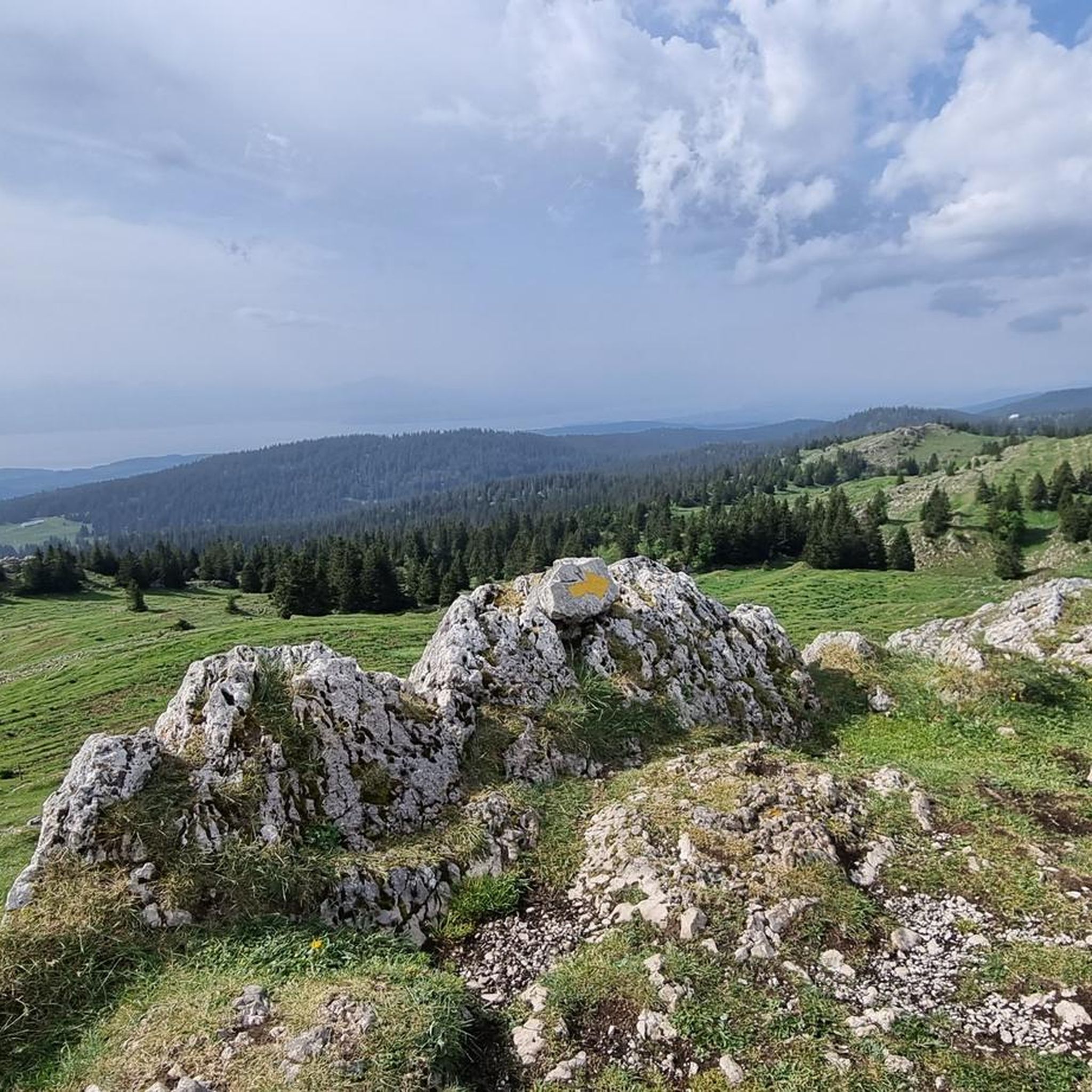
Best mountain peaks around Montricher are found in the Jura mountains, a region known for its natural features and diverse landscapes. Montricher, a village nestled at the foot of these mountains, provides access to several notable peaks. The area offers a variety of hiking opportunities, from moderate to challenging, leading to summits with expansive views. These natural features contribute to the region's appeal for outdoor activities.
Best mountain peaks around Montricher
- The most popular mountain peaks is Dent de Vaulion, a summit that is the highest mountain in its immediate region at 1,483 meters. It offers views across western Switzerland, including Lac de Joux and Lac de Brenet.
- Another must-see spot is Mont Tendre Summit, a summit and the highest point in the Swiss Jura at 1,679 meters. This summit provides a 360-degree panorama of Lake Geneva and the Alps.
- Visitors also love Crêt de la Neuve Summit, a summit rising to 1,495 meters. It offers views of Lake Geneva, even with its forested slopes.
- Montricher is known for its summits and mountain passes. The region offers a variety of mountain peaks to see and explore, catering to different hiking preferences.
- The mountain peaks around Montricher are appreciated by the komoot community, with more than 350 upvotes and over 200 photos shared by visitors.
Last updated: October 9, 2026
Dent de Vaulion
Highlight • Summit
Translated by Google •
Tip by

Col du Marchairuz (1,449 m)
Highlight • Mountain Pass
Translated by Google •
Tip by

Sign up now to discover places like this
Get recommendations on the best single tracks, peaks, & plenty of other exciting outdoor places.
Mont Tendre Summit
Highlight • Summit
Translated by Google •
Tip by

Crêt de la Neuve Summit
Highlight • Summit
Translated by Google •
Tip by
Col du Mollendruz
Highlight • Mountain Pass
Translated by Google •
Tip by

Sign up for free to discover even more peaks around Montricher.
Already have an account?
Start today with a free account
Your next adventure awaits.
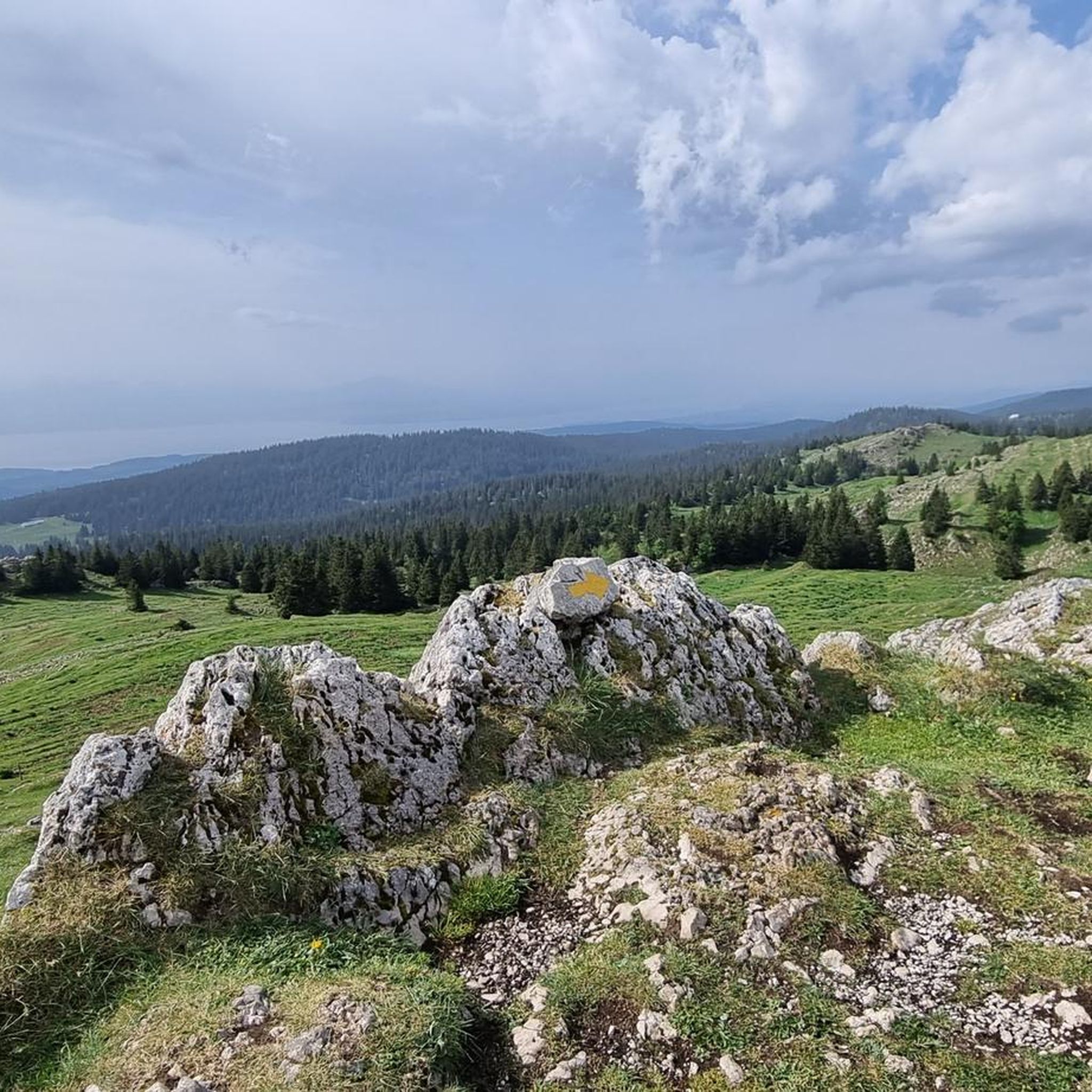
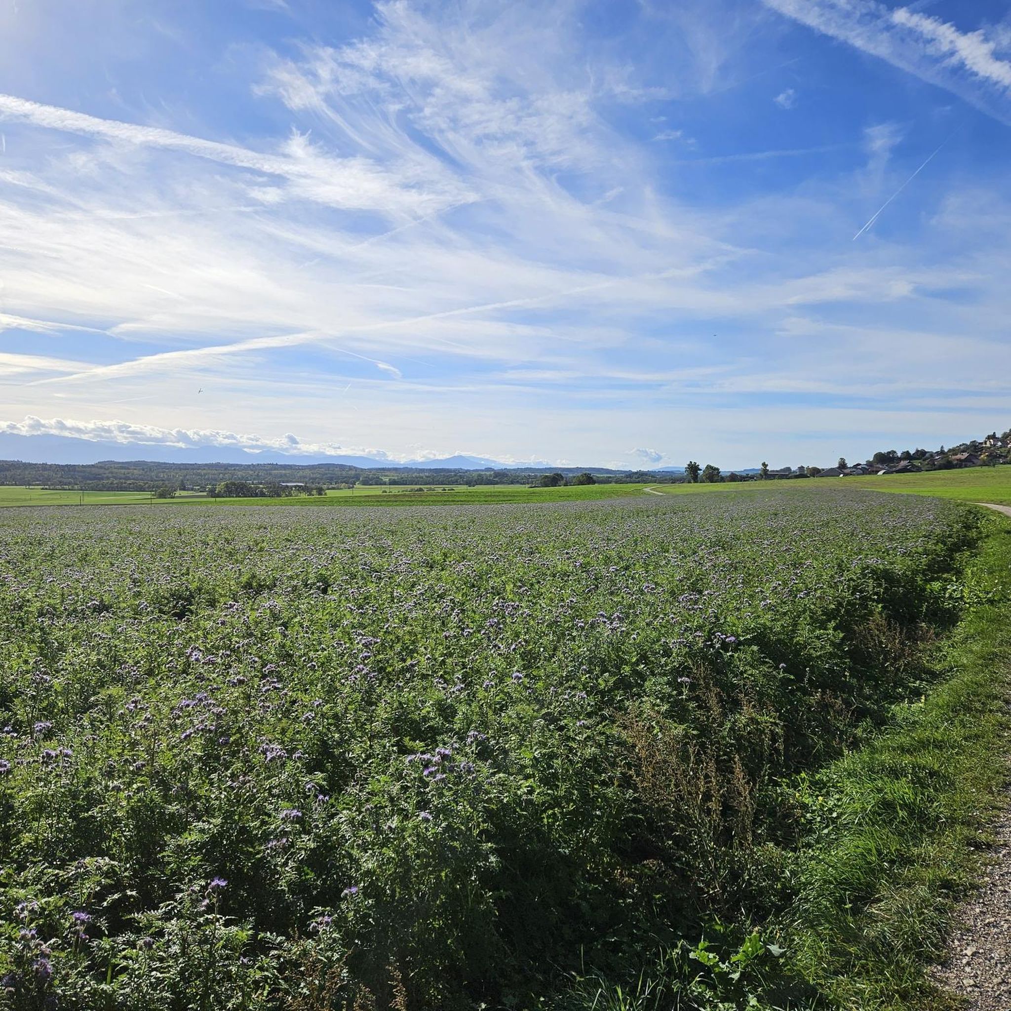
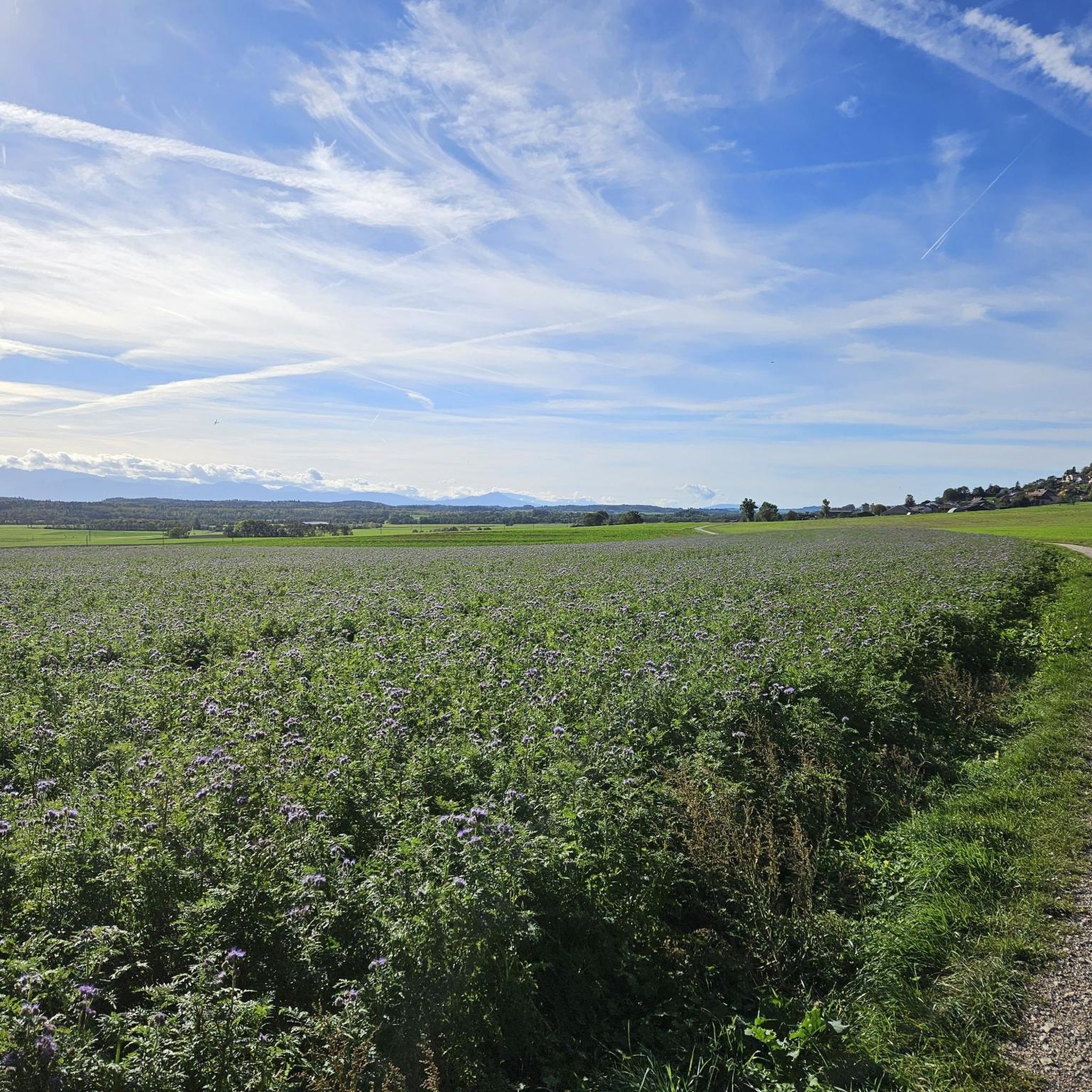
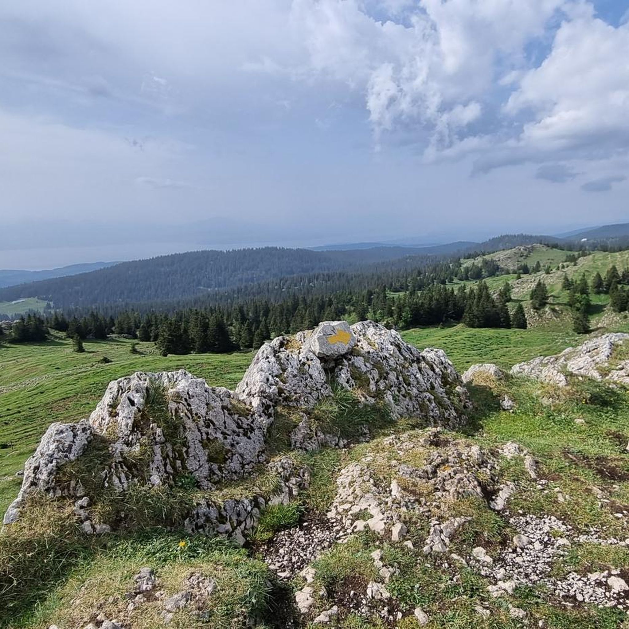


Tips from the Community

Magnificent walk through the Jura. Thank you for the beautiful route suggestion.
0
0

Wonderful small summit with the best view of Lake Geneva and the Alps
0
0
Small pass, ideal as a starting point for hikes
1
0
The view is breathtaking all around
2
1

The route up from Biere on the Swiss side is a solid steady climb with a few 12% and 13% sections. Traffic is quite light and the road is excellent. The trees give some nice protection from the sun and wind. Crossing the col northwards takes you down to the Vallé de Joux on a pretty steep decent with great corners and some short straights. My brakes made sounds I have never heard before! I did this and Col de Mollendrux together for a great 80k / 1,500 m ride. Recommended.
2
0

Wonderful view of the lake
1
0

Magnificent view of the Mont Blanc range
4
1
Frequently Asked Questions
What are the most prominent mountain peaks to visit around Montricher?
The region around Montricher offers several notable peaks. Mont Tendre Summit is the highest point in the Swiss Jura at 1,679 meters, providing a breathtaking 360-degree panorama of Lake Geneva and the Alps. Dent de Vaulion, at 1,483 meters, is known for its spectacular views across all of western Switzerland, including Lac de Joux and Lac de Brenet. Another excellent option is Crêt de la Neuve Summit, which offers splendid views of Lake Geneva.
Are there family-friendly mountain walks or passes near Montricher?
Yes, there are options suitable for families. The Col du Marchairuz (1,449 m) and Col du Mollendruz are both mountain passes that are considered family-friendly. These areas often have easier trails and amenities like restaurants or kiosks, making them good starting points for less strenuous outings.
What kind of panoramic views can I expect from the peaks around Montricher?
The peaks around Montricher are renowned for their exceptional panoramic views. From Mont Tendre Summit, you can enjoy a 360-degree vista encompassing Lake Geneva and the majestic Alps. Dent de Vaulion offers clear-weather views across all of western Switzerland, including Lac de Joux and Lac de Brenet. Even the forested Crêt de la Neuve Summit provides excellent views of Lake Geneva.
What are the hiking difficulty levels for trails leading to these peaks?
Hiking trails to the peaks around Montricher range from moderate to challenging. For instance, loops to Mont Tendre Summit from Montricher can take 5 to 7 hours and require good to very good fitness. Other highlights like Dent de Vaulion also feature intermediate to challenging routes. It's advisable to check specific route details on komoot for precise difficulty ratings.
Are there amenities like cafes or restaurants near the mountain peaks?
Yes, some peaks offer amenities. Near Dent de Vaulion, there is a cozy restaurant a short walk from the summit where you can enjoy local cuisine like fondue. The Buvette du Mont-Tendre is open from May to September near Mont Tendre Summit for refreshments. Additionally, the Col du Marchairuz (1,449 m) has a restaurant, and Col du Mollendruz features a small kiosk.
What is the best season to visit the mountain peaks around Montricher?
The best season for hiking the mountain peaks around Montricher is generally from late spring to early autumn (May to October), when trails are clear of snow and the weather is most favorable. The Buvette du Mont-Tendre, for example, is open from May to September. In winter, some areas like Dent de Vaulion can be excellent for snowshoeing.
What outdoor activities can I do near these mountain peaks besides hiking?
Beyond hiking, the region around Montricher offers various outdoor activities. You can find excellent running trails, including challenging loops around Mont Tendre Summit. Gravel biking is also popular, with routes around Lac de Joux and Lac de Brenet. Mountain passes like Col du Marchairuz (1,449 m) are well-known for cycling. For more details, explore the Running Trails around Montricher, Gravel biking around Montricher, and Hiking around Montricher guides.
Are there specific hiking trails recommended for the Montricher peaks?
Yes, there are numerous marked hiking routes. For Mont Tendre Summit, popular options include loops from Montricher, such as the 'Mont Tendre Summit – Mont Tendre Trailhead loop' (approx. 14 km) or the 'Chalet du Mont Tendre – Mont Tendre Summit loop' (approx. 8-9 km). For Dent de Vaulion, trails like the one from Croy-Romainmôtier to Montricher are well-regarded. You can find detailed routes in the Hiking around Montricher guide.
What natural features define the landscape around Montricher's peaks?
The landscape around Montricher's peaks is characterized by the natural beauty of the Jura mountains. This includes extensive forests, serene pastures, and diverse terrain that provides a picturesque backdrop for outdoor activities. The region is also notable for its proximity to several lakes, such as Lac de Joux and Lac de Brenet, which are often visible from the summits.
What do visitors appreciate most about the mountain peaks near Montricher?
Visitors consistently highlight the breathtaking panoramic views as a top attraction, especially the 360-degree vista from Mont Tendre Summit and the expansive views of western Switzerland from Dent de Vaulion. The diverse hiking opportunities catering to various fitness levels, the natural beauty of the Jura landscape, and the presence of amenities like summit restaurants or chalets also contribute to a highly positive experience.
Can I access the peaks by car, or is hiking the only option?
While hiking is the primary way to experience the summits, some areas offer easier access. For example, Dent de Vaulion is noted as being easy to access by car in summer, with parking available at Petra Félix, though hiking from there is still recommended. Mountain passes like Col du Marchairuz (1,449 m) and Col du Mollendruz are road passes, making them accessible by vehicle and serving as starting points for hikes.
Most popular routes around Montricher
Most popular attractions around Montricher

Get inspired with the komoot mobile app


Explore more
See even more amazing summits around Montricher with these guides:
