The best mountain hikes around Montricher
17
hikers
3
hikes
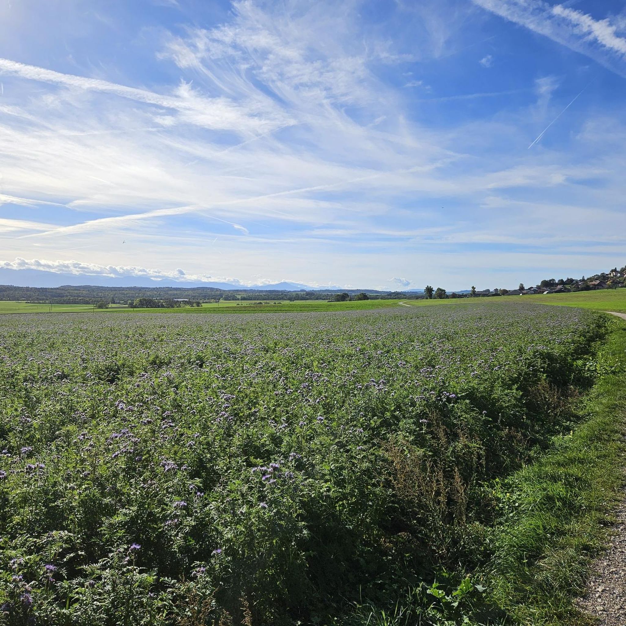
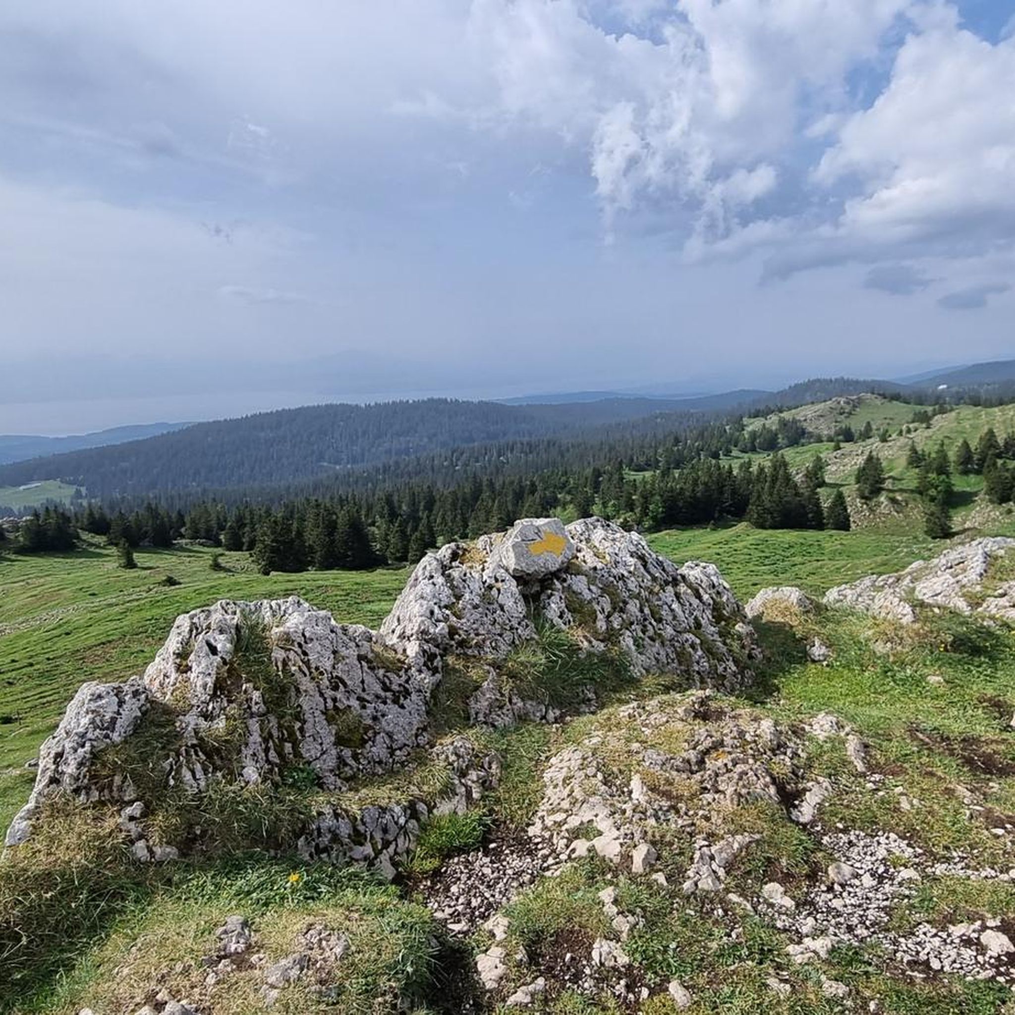
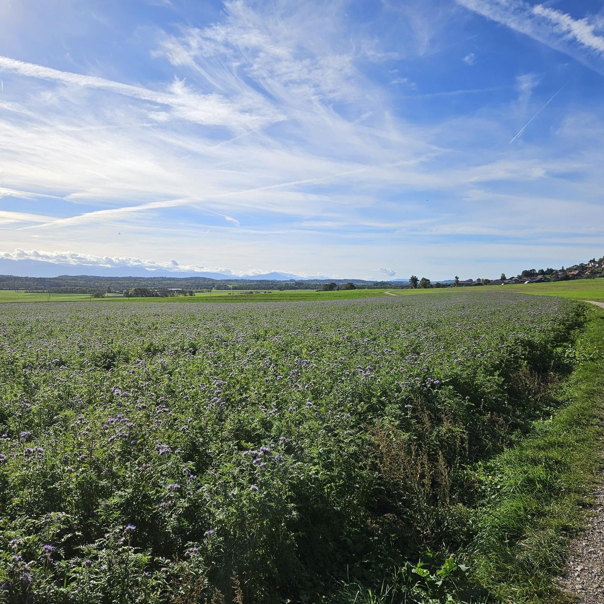
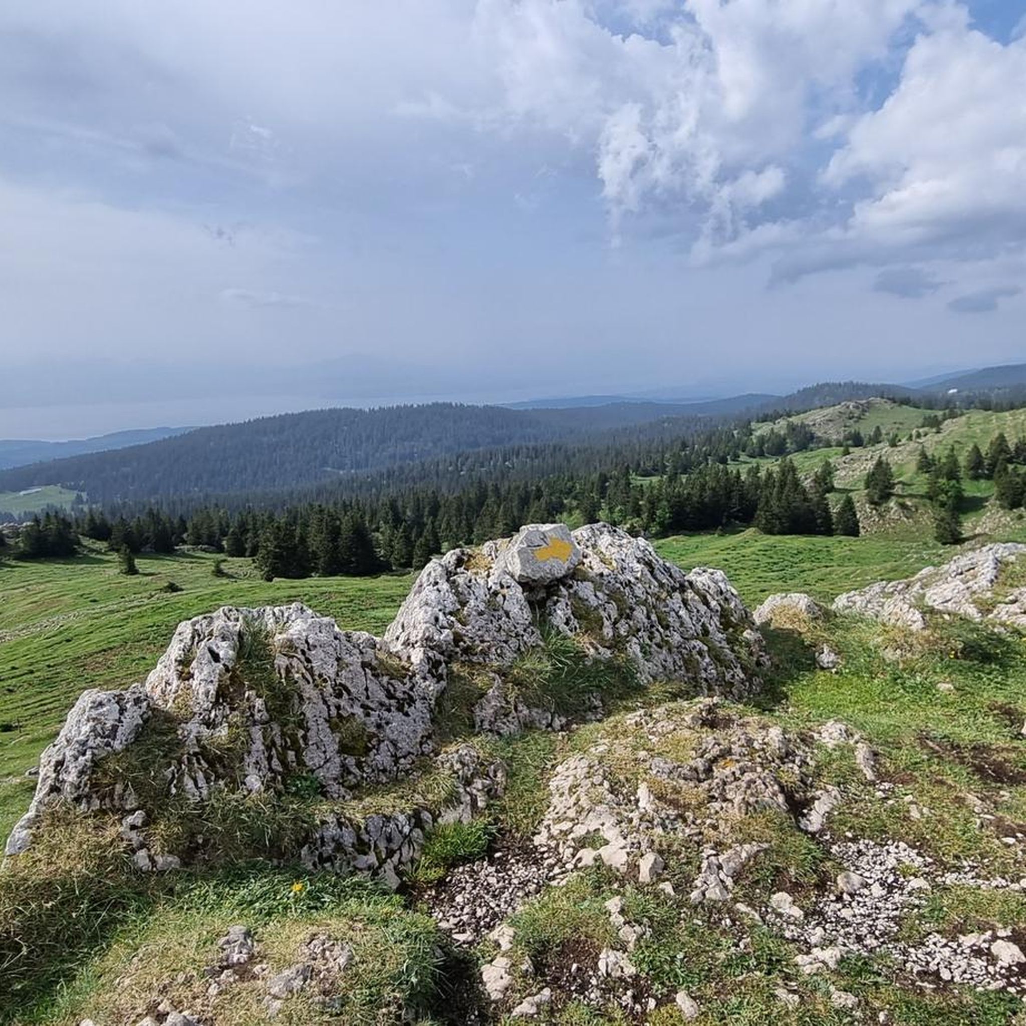
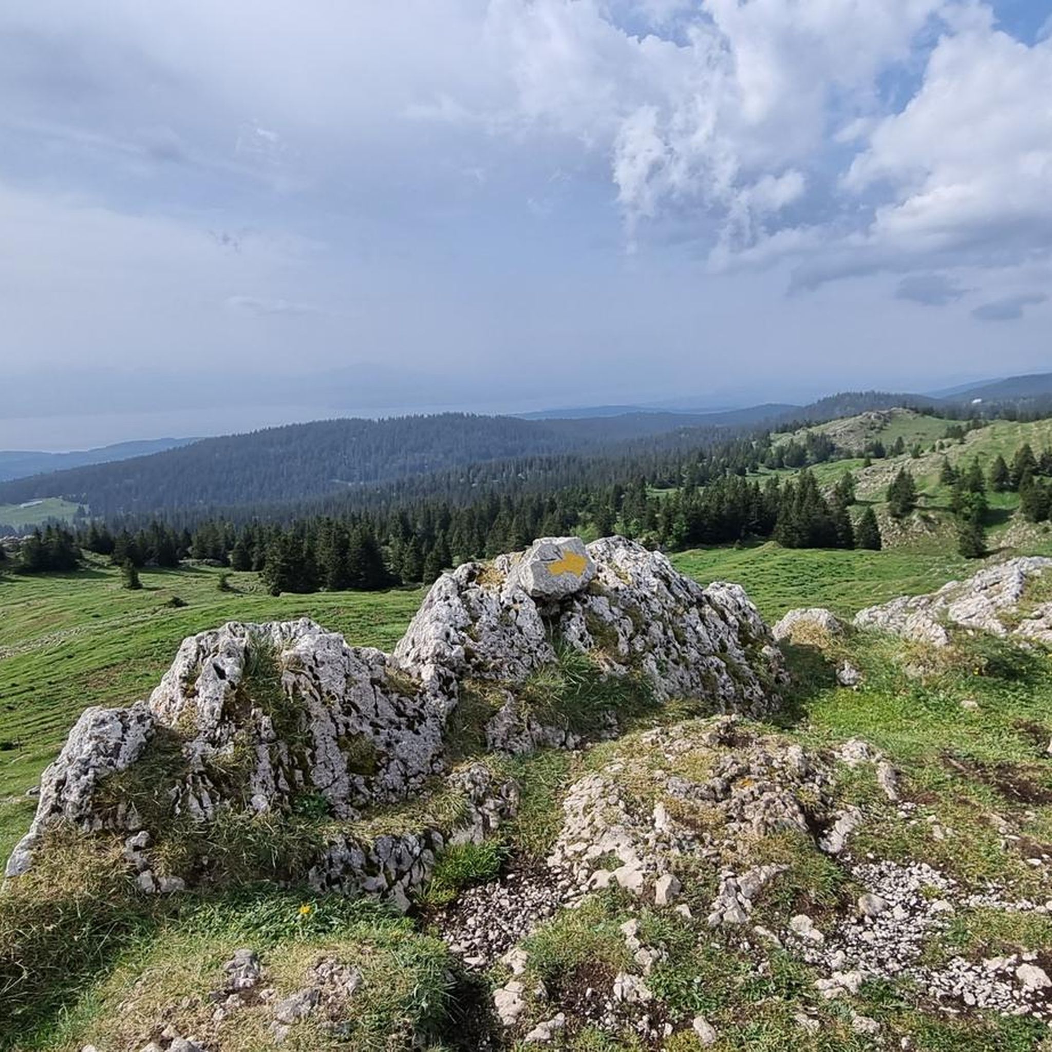
Best mountaineering routes Montricher offer access to the Jura Mountains, characterized by rolling limestone ridges, dense forests, and open alpine pastures. The terrain features varied elevations, including notable summits and scenic passes. This region provides a range of challenges for mountaineers.
Best mountaineering routes around Montricher
- The most popular mountaineering route is Mont Tendre Summit – Mont Tendre Trailhead loop from Montricher, an 8.8 miles (14.2 km) trail that takes 5 hours 13 minutes to complete. This difficult route features significant elevation gain to a prominent summit.
- Another top favourite among local mountaineers is Dent de Vaulion – Lac de Joux loop from Le Pont, a moderate 5.9 miles (9.5 km) path. This route offers views of Lac de Joux and traverses varied mountain terrain.
- Local mountaineers also love the Col du Marchairuz (1,449 m) – Crêt de la Neuve Summit loop from Jura Vaudois Nature Park, a 6.8 miles (10.9 km) trail leading through mountain passes and forested areas, often completed in about 3 hours 11 minutes.
- Mountaineering around Montricher is defined by limestone ridges, dense woodlands, and open alpine pastures. The network offers options for different ability levels, from moderate ascents to more challenging summit routes.
- The guide includes highly-rated routes that showcase the best of the region's landscape. More than 17 mountaineers have used komoot to explore Montricher's varied terrain.
Last updated: July 3, 2026
8
hikers
14.2km
05:14
920m
920m
Hard mountaineering route. Very good fitness required. Easily-accessible paths. Suitable for all skill levels.
6
hikers
9.54km
03:16
470m
470m
Moderate mountaineering route. Good fitness required. Mostly accessible paths. Sure-footedness required.

Sign up for free
3
hikers
Moderate mountaineering route. Good fitness required. Easily-accessible paths. Suitable for all skill levels.
Our route recommendations are based on thousands of hikes, rides, and runs completed by other people on komoot.
Start today with a free account
Your next adventure awaits.
Login or Signup

Tips from the Community

Wonderful small summit with the best view of Lake Geneva and the Alps
0
0
The view is breathtaking all around
2
1

The route up from Biere on the Swiss side is a solid steady climb with a few 12% and 13% sections. Traffic is quite light and the road is excellent. The trees give some nice protection from the sun and wind. Crossing the col northwards takes you down to the Vallé de Joux on a pretty steep decent with great corners and some short straights. My brakes made sounds I have never heard before! I did this and Col de Mollendrux together for a great 80k / 1,500 m ride. Recommended.
2
0


Wonder Lake to cycle around plenty of cafe and different routes you can take.
1
0

Wonderful view of the lake
1
0


Magnificent view of the Mont Blanc range
4
1
Frequently Asked Questions
What are the general difficulty levels for mountaineering routes around Montricher?
The mountaineering routes near Montricher offer a range of challenges. You'll find both moderate and difficult options. For example, the Mont Tendre Summit – Mont Tendre Trailhead loop from Montricher is considered difficult, while the Dent de Vaulion – Lac de Joux loop from Le Pont is a moderate route.
Are there any circular mountaineering routes in the Montricher area?
Yes, several routes around Montricher are designed as loops, allowing you to start and end at the same point. Examples include the challenging Mont Tendre Summit – Mont Tendre Trailhead loop from Montricher and the moderate Col du Marchairuz (1,449 m) – Crêt de la Neuve Summit loop from Jura Vaudois Nature Park.
What kind of views can I expect on mountaineering routes near Montricher?
The routes in Montricher, situated in the Jura Mountains, offer diverse and scenic views. You can expect panoramic vistas from prominent summits like Mont Tendre Summit, as well as views over bodies of water like Lac de Joux. The landscape is characterized by rolling limestone ridges, dense forests, and open alpine pastures.
How long do mountaineering routes near Montricher typically take to complete?
The duration varies depending on the route's length and difficulty. For instance, the Mont Tendre Summit – Mont Tendre Trailhead loop from Montricher, a difficult route of 14.2 km, typically takes around 5 hours 13 minutes. A moderate route like the Col du Marchairuz (1,449 m) – Crêt de la Neuve Summit loop from Jura Vaudois Nature Park (10.9 km) can be completed in about 3 hours 11 minutes.
Are there any specific permits required for mountaineering in Montricher?
Generally, permits are not required for mountaineering on established trails in the public areas around Montricher in the Jura Mountains. However, it's always advisable to check for any local regulations or temporary restrictions, especially if venturing into protected zones or private land.
What are some notable natural landmarks or attractions along the mountaineering routes?
Mountaineering in Montricher offers access to several significant natural landmarks. You can encounter prominent peaks such as Mont Tendre Summit and Dent de Vaulion. Additionally, you might pass by scenic mountain passes like Col du Marchairuz (1,449 m) or enjoy views of Lac de Joux.
What is the best season for mountaineering around Montricher?
The best season for mountaineering in Montricher is typically from late spring to early autumn (May to October) when the trails are generally free of snow and ice, and the weather is more stable. During these months, you'll experience the full beauty of the alpine pastures and forests.
What should I wear for mountaineering routes in Montricher?
Given the varied terrain and potential for changing weather in the Jura Mountains, it's recommended to wear sturdy hiking boots with good ankle support, layered clothing suitable for different temperatures, and waterproof outer layers. Always pack essentials like water, snacks, a map, and a first-aid kit.
Are there any less crowded mountaineering routes near Montricher?
While the region offers popular trails, exploring routes that traverse through dense forests and less frequented passes can provide a more secluded experience. The Col du Marchairuz (1,449 m) – Crêt de la Neuve Summit loop from Jura Vaudois Nature Park, for example, offers a journey through forested areas that can feel less busy than some of the more prominent summit trails.
What do other mountaineers enjoy most about the Montricher routes?
Mountaineers using komoot to explore Montricher often praise the region's diverse landscape, which includes rolling limestone ridges, dense forests, and open alpine pastures. The variety of routes, from moderate ascents to challenging summit trails, is also frequently highlighted.
Are there options for advanced mountaineers in Montricher?
Yes, advanced mountaineers will find challenging routes in Montricher. The Mont Tendre Summit – Mont Tendre Trailhead loop from Montricher is classified as difficult, featuring significant elevation gain to a prominent summit, making it suitable for experienced hikers seeking a more strenuous adventure.
Most popular routes around Montricher
Most popular attractions around Montricher

Get inspired with the komoot mobile app


