The best gravel rides around Villarroya De Los Pinares
5.0
(1)
20
riders
3
rides
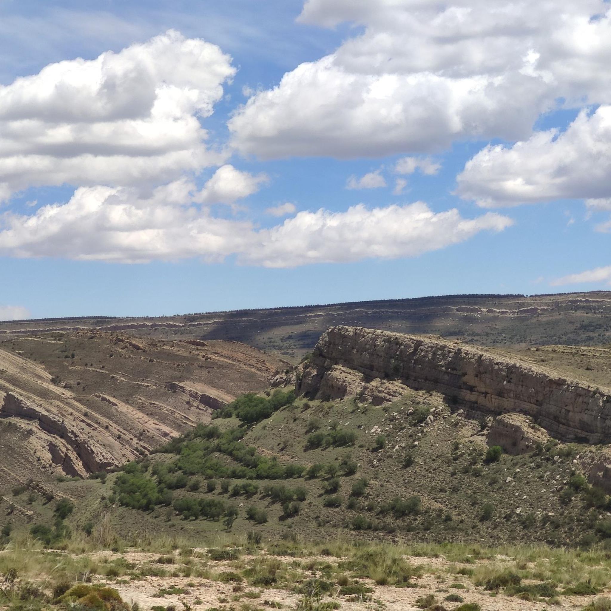
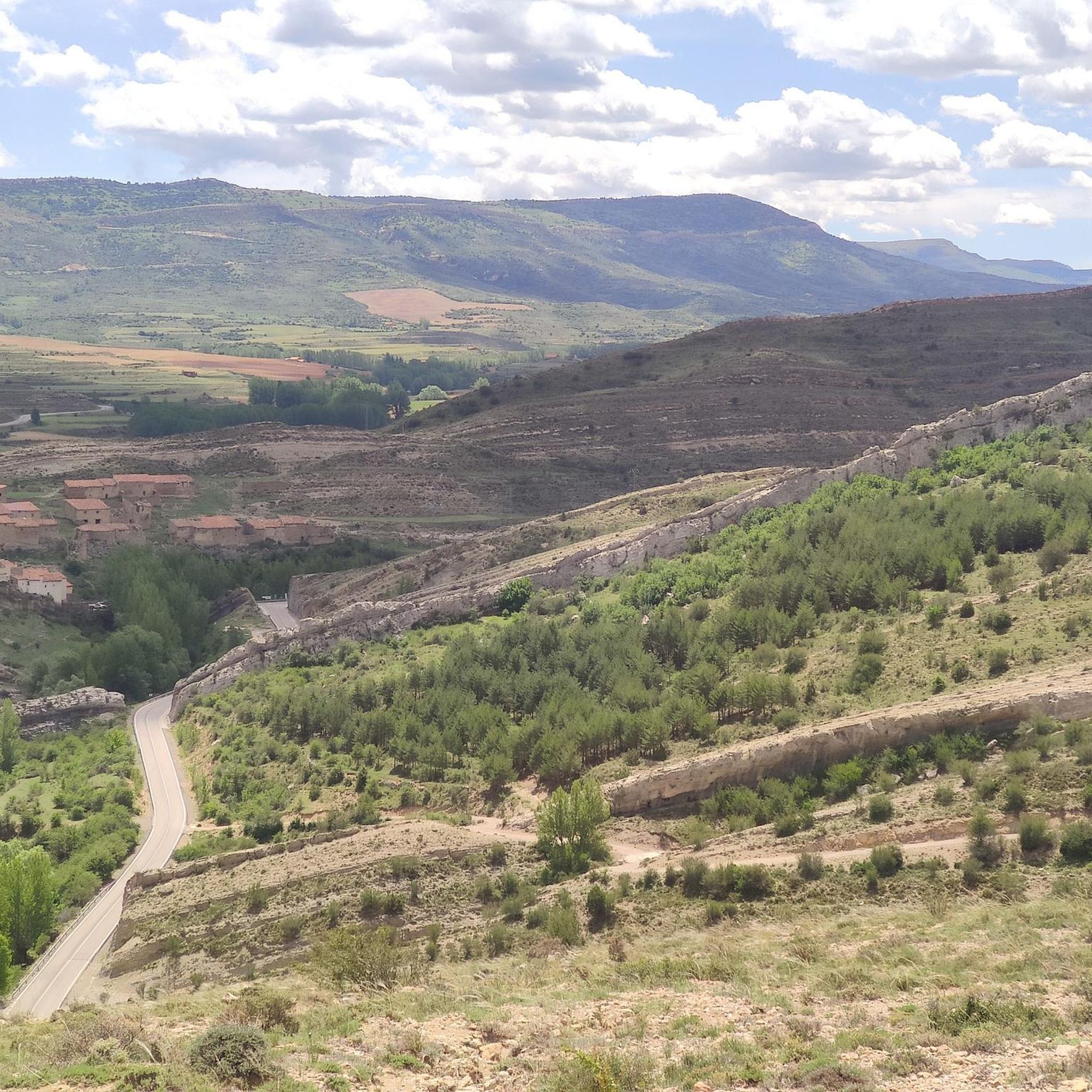
Gravel biking around Villarroya De Los Pinares offers exploration through a diverse and rugged natural landscape in Spain's Maestrazgo region, within the Gúdar mountain range. The area is characterized by a patchwork of pine forests and pasture land, alongside abrupt mountainous terrain and river valleys carved by the Guadalope River. Situated at an elevation of 4,386 feet (1,337 meters), the region provides varied routes with significant elevation changes and panoramic views.
Best gravel bike trails around Villarroya De Los Pinares
- The most popular gravel bike trail is Pilones Trail – Pilones Trail loop from Loma de la Majada, a 30.4 miles (48.9 km) trail that takes 3 hours 36 minutes to complete. This difficult route traverses varied terrain typical of the Gúdar mountain range.
- Another top favourite among local gravel bikers is Alcalá de la Selva – Valdelinares Ski Resort loop from Gúdar, a difficult 35.1 miles (56.5 km) path. This route offers extensive views and significant climbs through mountainous landscapes.
- Local gravel bikers also love the Fuente del Pinarico – Puerto de Valdelinares loop from Valdelinares, an 18.2 miles (29.2 km) trail leading through pine forests and towards high-altitude passes, often completed in about 2 hours 22 minutes.
- Gravel biking around Villarroya De Los Pinares is defined by extensive pine forests, open pasture lands, and mountainous river valleys. The network of routes offers options for different ability levels, from moderate paths to more challenging, difficult trails.
- The routes in Villarroya De Los Pinares are highly rated by the komoot community with an average score of 5.0 stars from over 1 review. More than 20 gravel bikers have used komoot to explore Villarroya De Los Pinares's varied terrain.
Last updated: July 2, 2026
5
riders
48.9km
03:36
590m
590m
Hard gravel ride. Very good fitness required. Mostly paved surfaces. Suitable for all skill levels.
5
riders
56.5km
04:20
1,200m
1,190m
Hard gravel ride. Very good fitness required. Mostly paved surfaces. Suitable for all skill levels.

Sign up for free
2
riders
29.2km
02:22
440m
440m
Moderate gravel ride. Good fitness required. Mostly paved surfaces. Suitable for all skill levels.
2
riders
54.9km
04:58
1,210m
1,210m
Hard gravel ride. Very good fitness required. Mostly paved surfaces. Suitable for all skill levels.
5.0
(1)
3
riders
Hard gravel ride. Very good fitness required. Mostly paved surfaces. Suitable for all skill levels.
Our route recommendations are based on thousands of hikes, rides, and runs completed by other people on komoot.
Start today with a free account
Your next adventure awaits.
Login or Signup

Tips from the Community

Hermitage of Santa Ana, Ababuj, Teruel.
0
0
Hermitage of the Holy Christ, Aguilar de Alfambra, Teruel.
0
0

Barbecue hut, table and benches, water, and trash cans. A good resting place.
0
0


Picnic area with many tables at the church with cooking facilities and water
0
0

Alcalá de la Selva is a charming municipality in the province of Teruel, Aragon. Of Arab origin, it offers a stunning view of the town.
4
0

In this town of more than 200 inhabitants, the Guadalope River, which rises in the municipal district, the Agua Blanca River and the Barranco del Cañadizo ravine meet in an extremely abrupt and mountainous terrain. The environment is articulated by the constraints of the environment, which gives it that mountainous but at the same time calm atmosphere. If you like unspoiled nature... so beautiful here
1
0
Frequently Asked Questions
How many gravel bike trails are available around Villarroya de los Pinares?
Komoot currently features 5 gravel bike routes around Villarroya de los Pinares. These routes offer a range of distances and elevations, primarily catering to experienced riders.
What kind of terrain can I expect on gravel bike routes in this region?
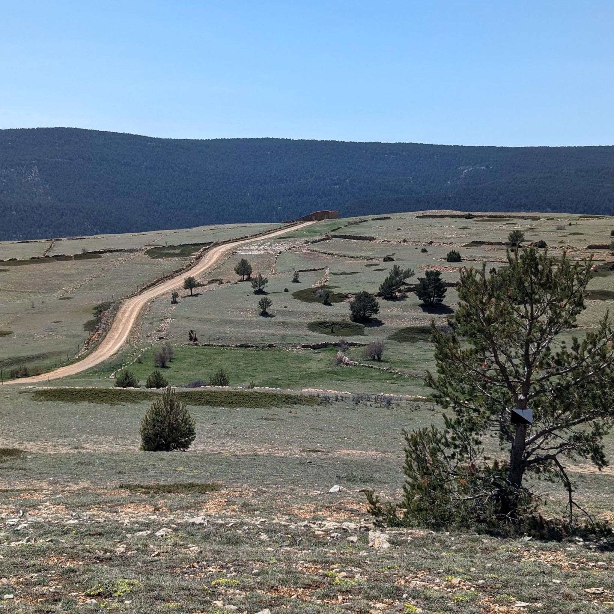
The region offers a diverse and rugged natural landscape. You can expect to traverse extensive pine forests, open pasture lands, and mountainous terrain with river valleys carved by the Guadalope River. Many routes utilize forest roads and double tracks, characteristic of the 'Montañas Vacías' bikepacking route which passes through the area.
Are there any circular gravel routes available?
Yes, several routes are designed as loops. For example, consider the challenging Pilones Trail – Pilones Trail loop from Loma de la Majada, which covers nearly 49 km, or the slightly shorter, moderate Fuente del Pinarico – Puerto de Valdelinares loop from Valdelinares at just over 29 km.
What are some notable viewpoints or landmarks I can see along the gravel trails?
The mountainous terrain offers breathtaking panoramic views. You might encounter high-altitude spots like Puerto de Valdelinares, a mountain pass at 1,828 meters, or the Peñarroya Summit and Observation Tower, which provides 360-degree views from over 2,028 meters. The historic village of Fortanete Village is also a point of interest.
Are there any family-friendly gravel biking options in Villarroya de los Pinares?
The gravel routes listed for Villarroya de los Pinares are generally rated as 'difficult' or 'moderate' due to significant elevation changes and distances. While the region offers varied terrain, these specific routes might be more suitable for experienced riders. For families, it's advisable to look for shorter, flatter sections or dedicated cycling paths not listed in this guide.
What is the best time of year for gravel biking in Villarroya de los Pinares?
Villarroya de los Pinares is situated at a high elevation (1,337 meters), and the Gúdar mountain range can experience cold winters. The spring and autumn months generally offer the most pleasant temperatures for gravel biking, with vibrant landscapes. Summer can be warm, but the altitude often provides cooler conditions than lower areas. Always check local weather forecasts before heading out.
Are there any long-distance gravel routes for experienced riders?
Yes, for experienced riders looking for a challenge, there are several longer routes. The Alcalá de la Selva – Valdelinares Ski Resort loop from Gúdar is a demanding route spanning over 56 km with significant elevation gain. Another option is the Alto del Hornillo Crossroads – Las Valtuertas loop from Valdelinares, which is nearly 55 km long.
What do other gravel bikers enjoy most about gravel biking in Villarroya de los Pinares?
The komoot community rates the routes in this area highly, with an average score of 5.0 stars. Riders often praise the stunning natural beauty, the quiet and extensive pine forests, and the challenging yet rewarding mountainous terrain that offers a true escape into nature. The clean skies are also a unique feature, especially for those interested in astrotourism during multi-day excursions.
Can I find routes that pass through or near historical sites?
Villarroya de los Pinares itself is a Historic-Artistic Site with a well-preserved medieval old town. While the gravel routes primarily focus on natural landscapes, you can explore the village's 16th-century Gothic church, the Nuestra Señora de Loreto Chapel, and the Casa Peña before or after your ride. The Centre for the Interpretation of the Order of San Juan del Hospital also offers insight into the region's medieval history.
Are there any gravel routes that offer a moderate challenge?
While most routes are rated 'difficult', there is a moderate option available. The Fuente del Pinarico – Puerto de Valdelinares loop from Valdelinares is a 29.2 km route with over 440 meters of elevation gain, offering a good balance for riders looking for a less strenuous but still engaging experience.
What kind of bike is best suited for these trails?
The trails in this region, including those part of the 'Montañas Vacías' route, are generally well-suited for gravel bikes. It's recommended to use tires around 40-42mm for optimal performance and comfort on the forest roads and double tracks you'll encounter.
Most popular routes around Villarroya De Los Pinares
Most popular attractions around Villarroya De Los Pinares

Get inspired with the komoot mobile app


Explore more
Browse the best Gravel rides in other regions.
