The best cycling routes around Villarroya De Los Pinares
5.0
(2)
64
riders
6
rides
Touring cycling around Villarroya De Los Pinares offers routes through the diverse landscapes of the Maestrazgo region in Teruel, Spain. The area is characterized by dense pine forests, expansive pasture lands, and mountain passes within the Gúdar mountain range. Routes often feature significant elevation gains, with the Guadalope River shaping parts of the local scenery. The quiet roads and varied terrain provide a suitable environment for touring cyclists.
Best touring cycling routes around Villarroya De Los Pinares
- The most popular…
Last updated: June 28, 2026
5.0
(1)
14
riders
70.5km
05:28
1,610m
1,610m
Hard bike ride. Very good fitness required. Mostly paved surfaces. Suitable for all skill levels.
6
riders
46.7km
03:07
630m
630m
Hard bike ride. Very good fitness required. Mostly paved surfaces. Suitable for all skill levels.

Sign up for free
6
riders
58.9km
04:55
1,200m
1,200m
Hard bike ride. Very good fitness required. Mostly paved surfaces. Suitable for all skill levels.
6
riders
92.5km
06:38
1,950m
1,950m
Hard bike ride. Very good fitness required. Mostly paved surfaces. Suitable for all skill levels.
6
riders
55.8km
03:36
690m
690m
Hard bike ride. Very good fitness required. Mostly paved surfaces. Suitable for all skill levels.
Our route recommendations are based on thousands of hikes, rides, and runs completed by other people on komoot.
Start today with a free account
Your next adventure awaits.
Login or Signup


Tips from the Community


Picnic area with many tables at the church with cooking facilities and water
0
0

Alcalá de la Selva is a charming municipality in the province of Teruel, Aragon. Of Arab origin, it offers a stunning view of the town.
4
0

We also find numerous interesting buildings scattered throughout the rest of the municipality. For example, the castle of El Cid (11th-12th century), the fortified farm of La Torre. Also several hermitages such as those of Loreto (1648), Santa Bárbara (1715), San Cristóbal (around 1500) and Buen Suceso, in short, definitely worth a visit.
1
0
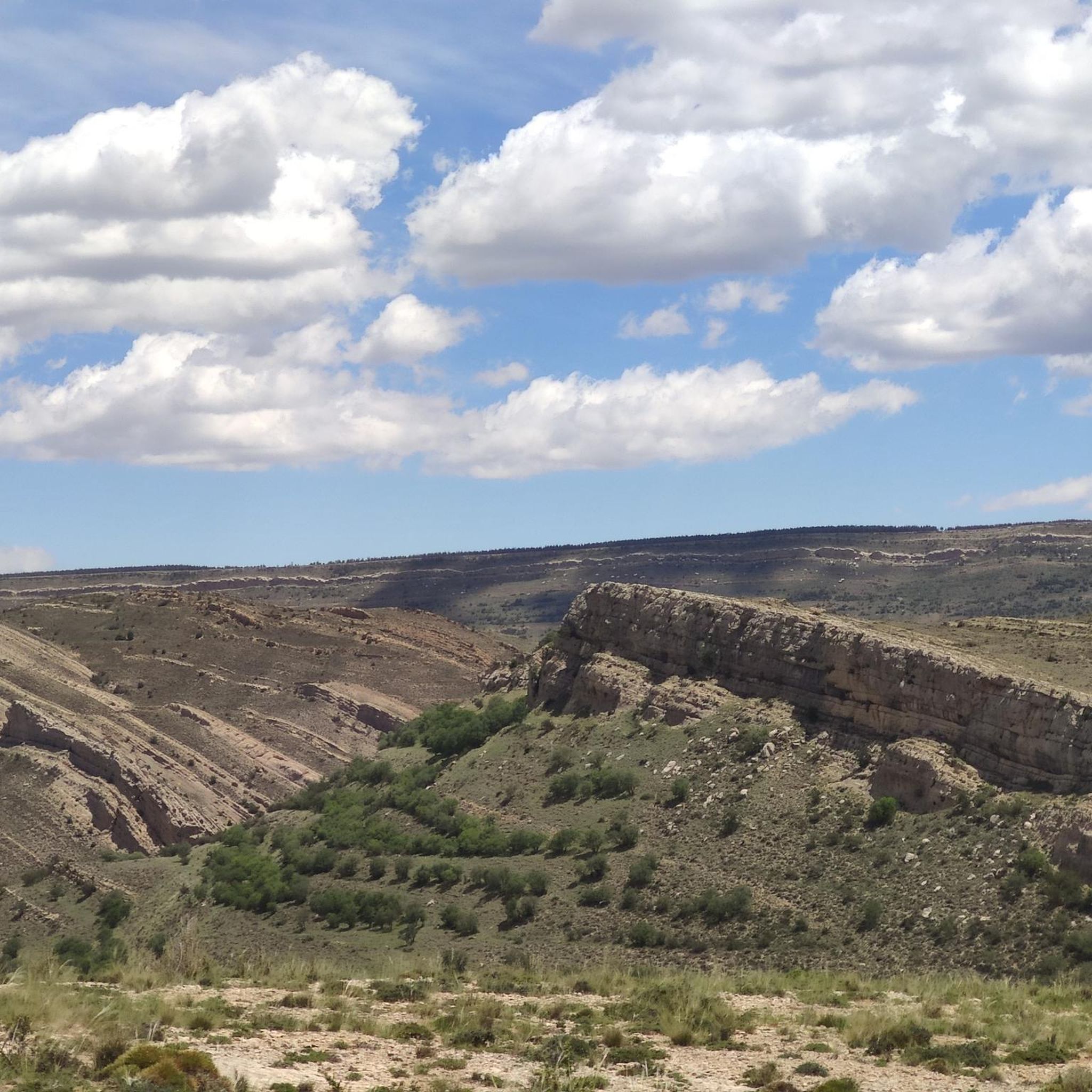
Fortanete offers incredible views and is surrounded by two rugged mountain ranges: the Sierra de la Cañada and the Tarrascón-Las Las Lastras mountain ranges. The natural environment is mainly dominated by high, cool pastures and especially by the extensive and well-preserved winter pine forests.
1
0
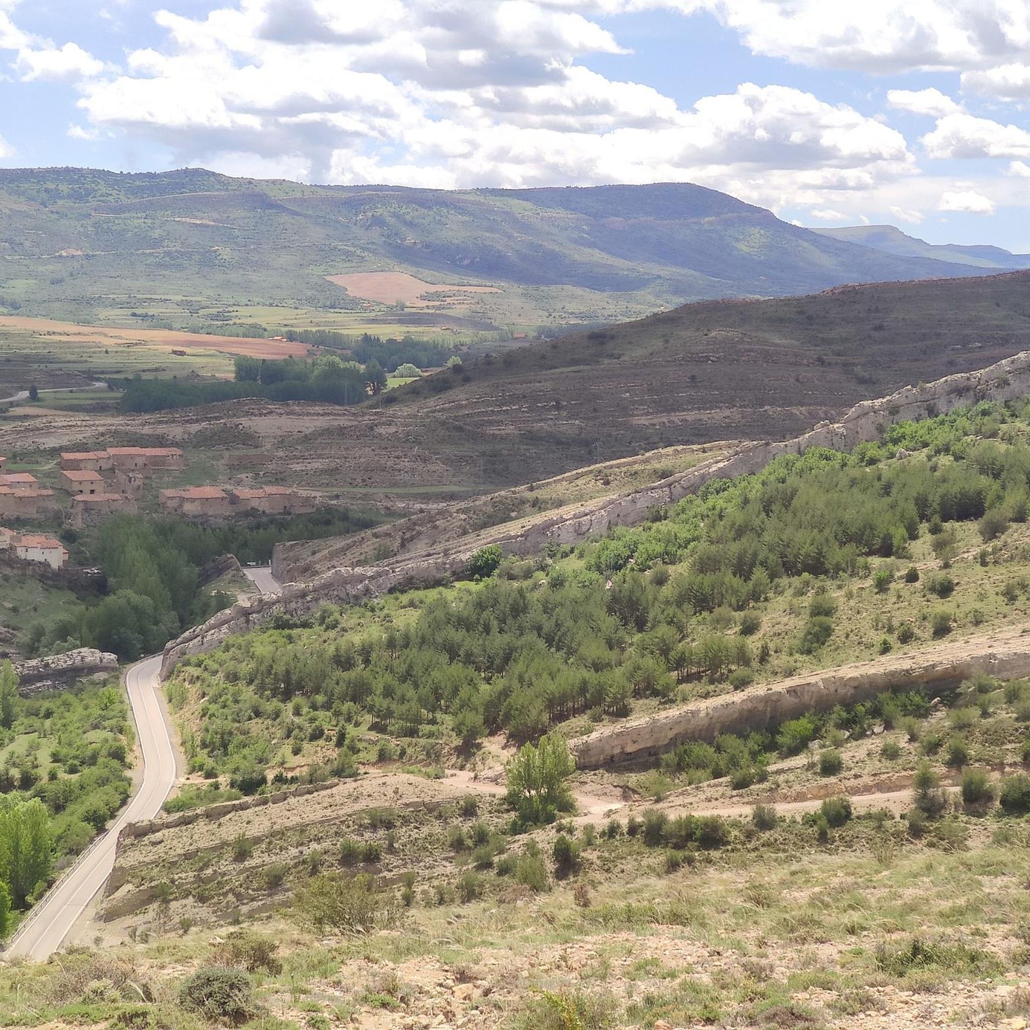
In this town of more than 200 inhabitants, the Guadalope River, which rises in the municipal district, the Agua Blanca River and the Barranco del Cañadizo ravine meet in an extremely abrupt and mountainous terrain. The environment is articulated by the constraints of the environment, which gives it that mountainous but at the same time calm atmosphere. If you like unspoiled nature... so beautiful here
1
0
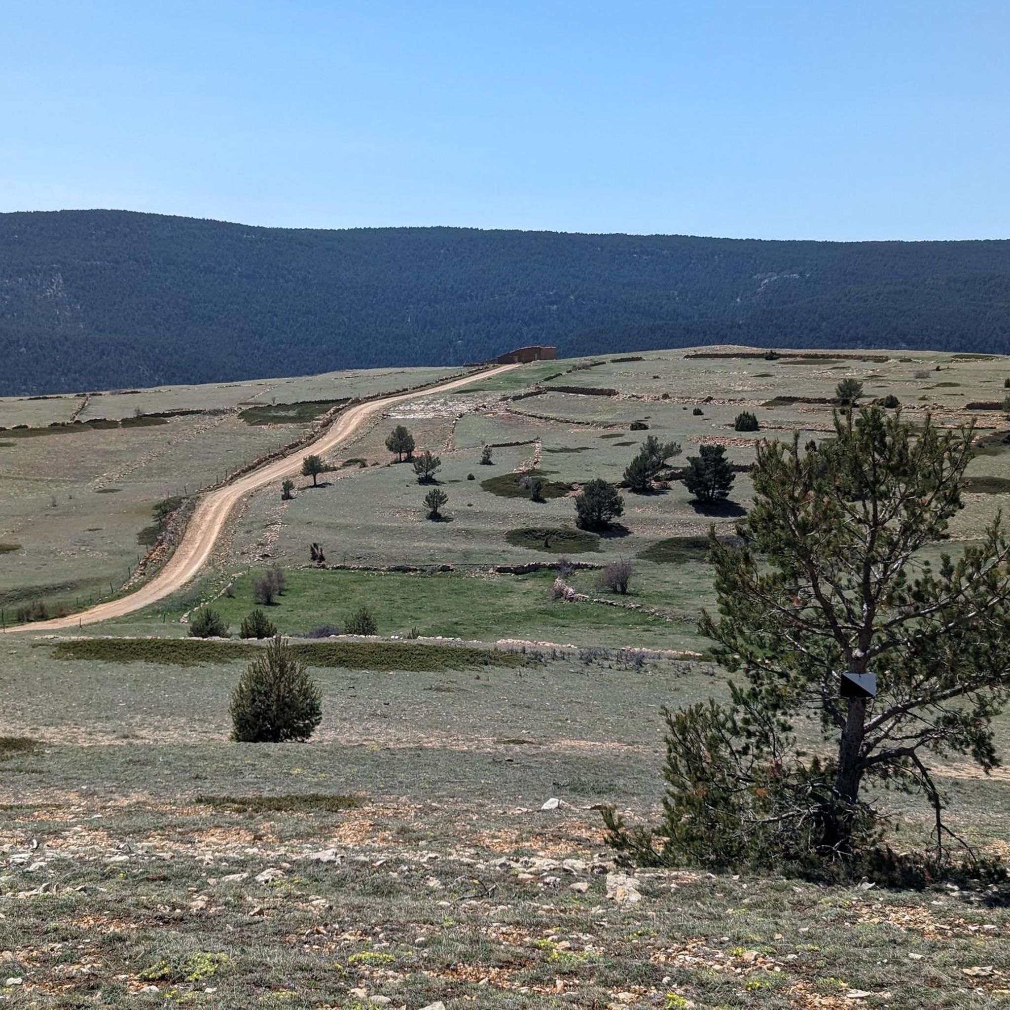
Alcalá de la Selva is located at an altitude of 1,400 m in the Sierra de Gúdar mountain range. The Alcalá River flows at its feet, feeding an abundance of small vegetable gardens. Today, Alcalá de la Selva, with around 500 inhabitants, is the main winter resort in the province of Teruel.
1
0

There is a fountain to refill water. There is a shop in the same square where you can buy something to eat if you need to.
1
0
Frequently Asked Questions
What is the general difficulty level of touring cycling routes around Villarroya De Los Pinares?
The touring cycling routes in Villarroya De Los Pinares are generally challenging, featuring significant elevation gains and mountain passes. All five routes listed in this guide are classified as difficult, making them suitable for experienced cyclists seeking a demanding ride.
What kind of terrain can I expect on touring cycling routes in the Maestrazgo region?
You can expect a diverse landscape characterized by dense pine forests, expansive pasture lands, and mountain passes within the Gúdar mountain range. The Guadalope River also shapes parts of the local scenery, and routes often include varied terrain with notable elevation changes.
Are there any notable natural features or landmarks to see while cycling near Villarroya De Los Pinares?
Yes, the region offers several natural attractions. You might encounter the picturesque Guadalope River, magnificent pine forests, and unique flora like large holly trees. Notable highlights include the Peñarroya Summit and Observation Tower, the Source of the Pitarque River, and various mountain passes such as Puerto de Valdelinares and San Cristóbal Pass.
What is the best time of year for touring cycling in Villarroya De Los Pinares?
Given the region's elevation (Villarroya De Los Pinares is at 1,337 meters) and the presence of mountain passes, the best time for touring cycling is typically from late spring through early autumn. Summers offer pleasant conditions, while spring and autumn provide cooler temperatures and vibrant scenery. Winters can be cold with potential for snow, especially at higher altitudes, as evidenced by nearby ski resorts.
Are there any family-friendly touring cycling routes in Villarroya De Los Pinares?
The touring cycling routes highlighted in this guide are all classified as difficult, featuring significant climbs and long distances. These may not be suitable for young children or families seeking very easy, flat rides. For family-friendly options, you might need to look for shorter, less challenging paths or consider other activities like hiking on easier trails.
What do other touring cyclists enjoy the most about cycling in Villarroya De Los Pinares?
The area is highly rated by the komoot community, with an average score of 5.0 stars. Cyclists often praise the quiet roads, the challenging nature of the routes with their significant elevation gains, and the diverse landscapes that include pine forests, mountain passes, and river valleys.
Are there any circular touring cycling routes available?
Yes, all the touring cycling routes featured in this guide are circular loops. Examples include the Puerto de Valdelinares – Virgen de la Vega loop from Valdelinares and the Fountain in Fortanete – Remains of an old road. loop from Fortanete, allowing you to start and end your ride in the same location.
What are some of the longer touring cycling routes in the area?
For those seeking longer rides, the Villarluengo – Col sign! 😁 loop from Fortanete is a substantial option, covering 57.5 miles (92.5 km) and typically taking around 6 hours 38 minutes to complete. Another long route is the Fountain in Fortanete – Remains of an old road. loop from Fortanete, which is 43.9 miles (70.7 km).
Can I find accommodation or places to eat near the cycling routes?
Villarroya De Los Pinares is a charming village with a historical legacy, and the wider Maestrazgo region includes other picturesque villages like Fortanete. While specific cafes or pubs directly on every route are not detailed, these villages typically offer local amenities, including places to eat and stay. It's advisable to plan your stops in advance, especially in more remote sections.
Are there opportunities for wildlife spotting while cycling?
The diverse natural environment around Villarroya De Los Pinares, with its pine forests and mountain ranges, is suitable for wildlife observation. The area is known for ornithological tourism and observing mountain goats, so keeping an eye out during your ride might reward you with sightings of local fauna.
What is the highest point reached on these touring cycling routes?
The region is characterized by mountain passes, with heights ranging from 1,500-1,700 meters on roads like the A-226. Routes like the Villarluengo – Col sign! 😁 loop from Fortanete feature significant elevation gains, reaching nearly 2,000 meters of ascent, indicating high points along the way.
Are there any specific mountain passes that are part of the touring cycling experience?
Yes, mountain passes are a defining feature of touring cycling in this region. The A-226 road, which passes through Villarroya De Los Pinares, includes notable passes like Cuarto Pelado and the pass of Villarroya De Los Pinares itself. Other passes you might encounter include Puerto de Valdelinares and San Cristóbal Pass.
Most popular routes around Villarroya De Los Pinares
Most popular attractions around Villarroya De Los Pinares

Get inspired with the komoot mobile app


Explore more
Browse the best Cycling routes in other regions.
