The best gravel rides around Duruelo De La Sierra
19
riders
5
rides
Experience the rugged beauty of gravel biking with our curated list of gravel rides around Duruelo De La Sierra. Whether you're looking for challenging climbs or scenic trails, here are some of the best gravel bike routes around Duruelo De La Sierra.
Last updated: August 26, 2026
8
riders
55.1km
05:23
1,240m
1,240m
Hard gravel ride. Very good fitness required. Mostly paved surfaces. Suitable for all skill levels.
6
riders
20.9km
01:41
170m
170m
Moderate gravel ride. Good fitness required. Mostly paved surfaces. Suitable for all skill levels.

Sign up for free
2
riders
65.4km
05:12
950m
950m
Hard gravel ride. Very good fitness required. Mostly paved surfaces. Suitable for all skill levels.
2
riders
Moderate gravel ride. Good fitness required. Mostly paved surfaces. Suitable for all skill levels.
1
riders
Moderate gravel ride. Good fitness required. Mostly paved surfaces. Suitable for all skill levels.
Our route recommendations are based on thousands of hikes, rides, and runs completed by other people on komoot.
Start today with a free account
Your next adventure awaits.
Login or Signup
Popular around Duruelo De La Sierra
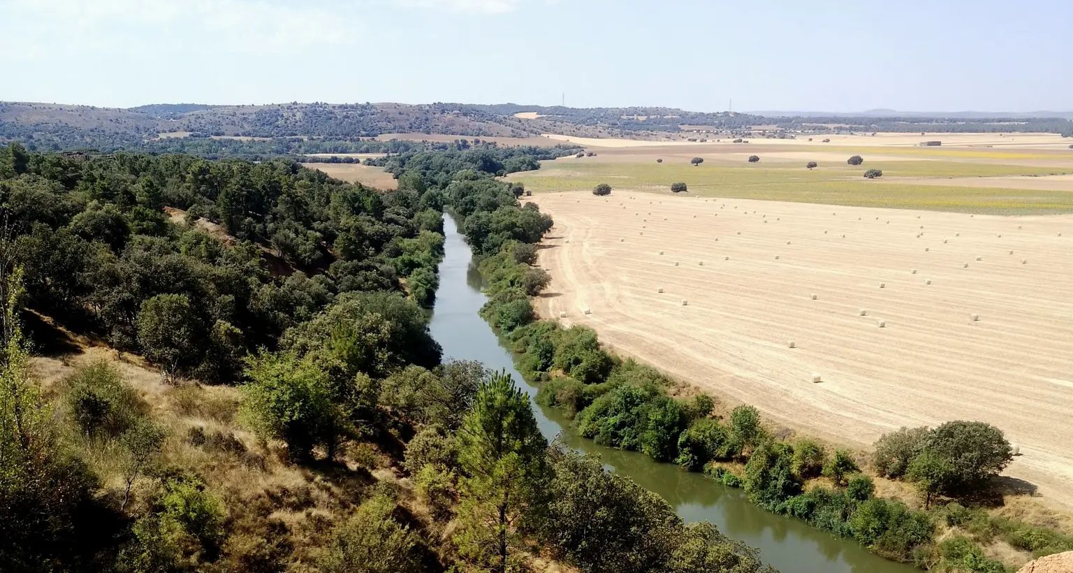
Downstream through Soria, Burgos and Valladolid in Spain – Eastern Douro Trail
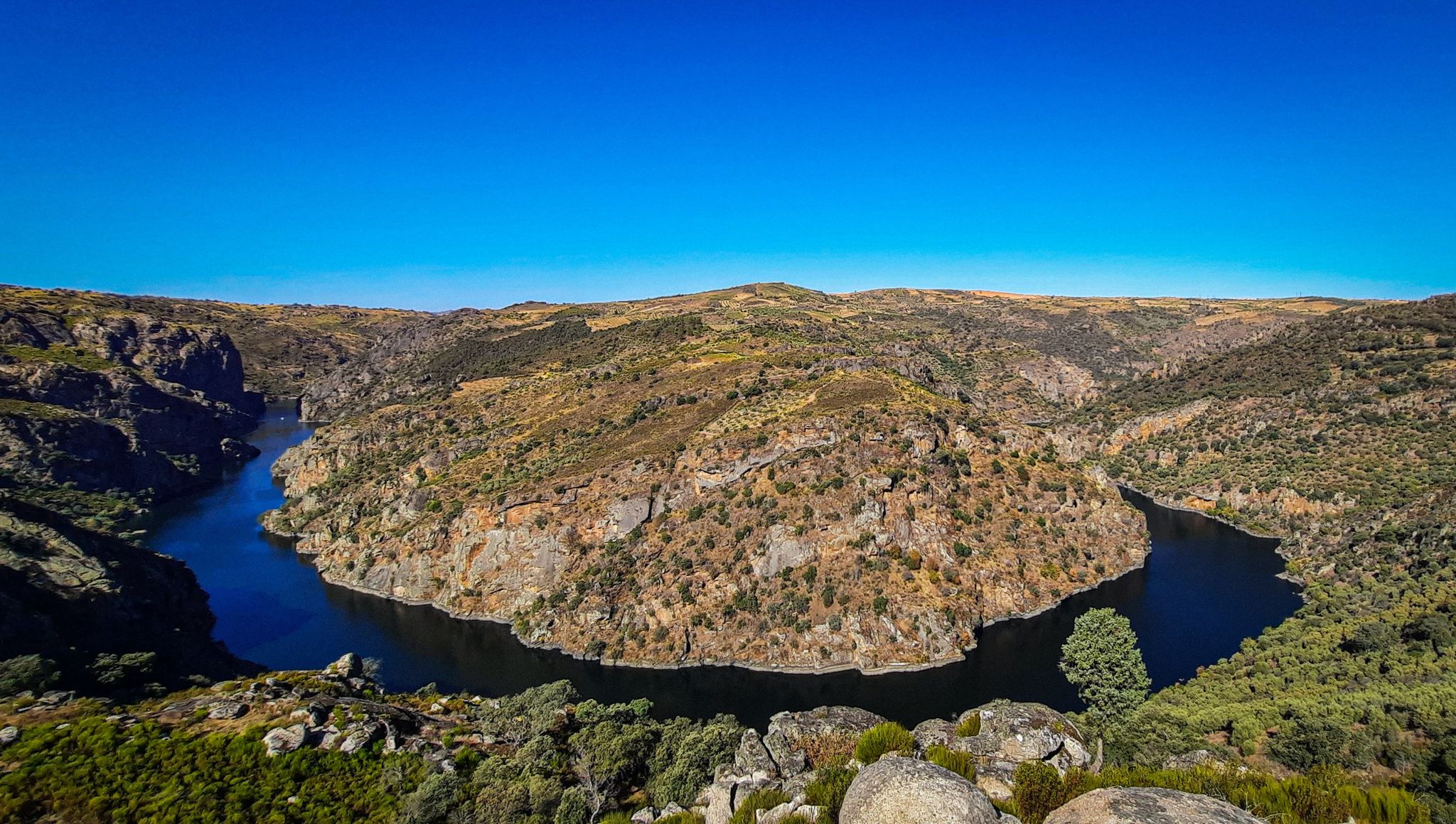
The Great Castilian River – Duero MTB Trail
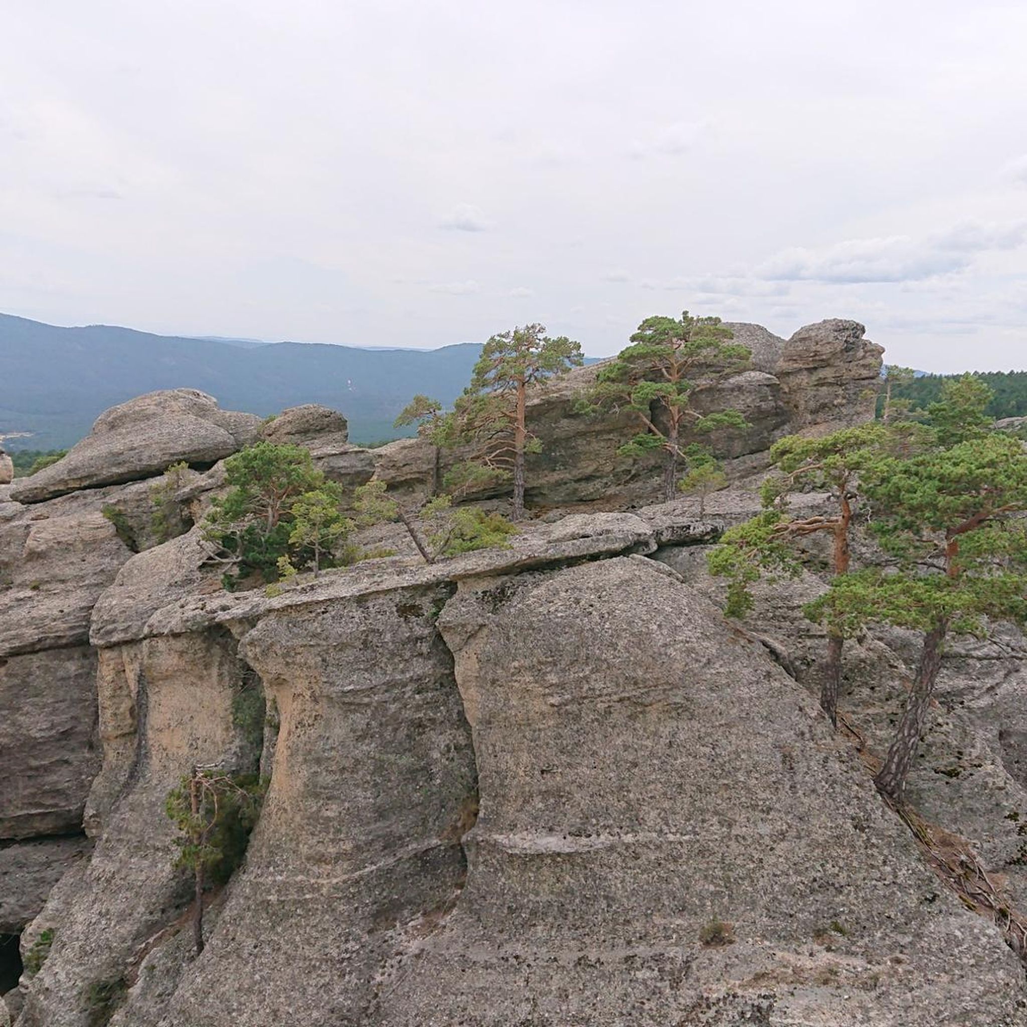
Hiking around Duruelo De La Sierra
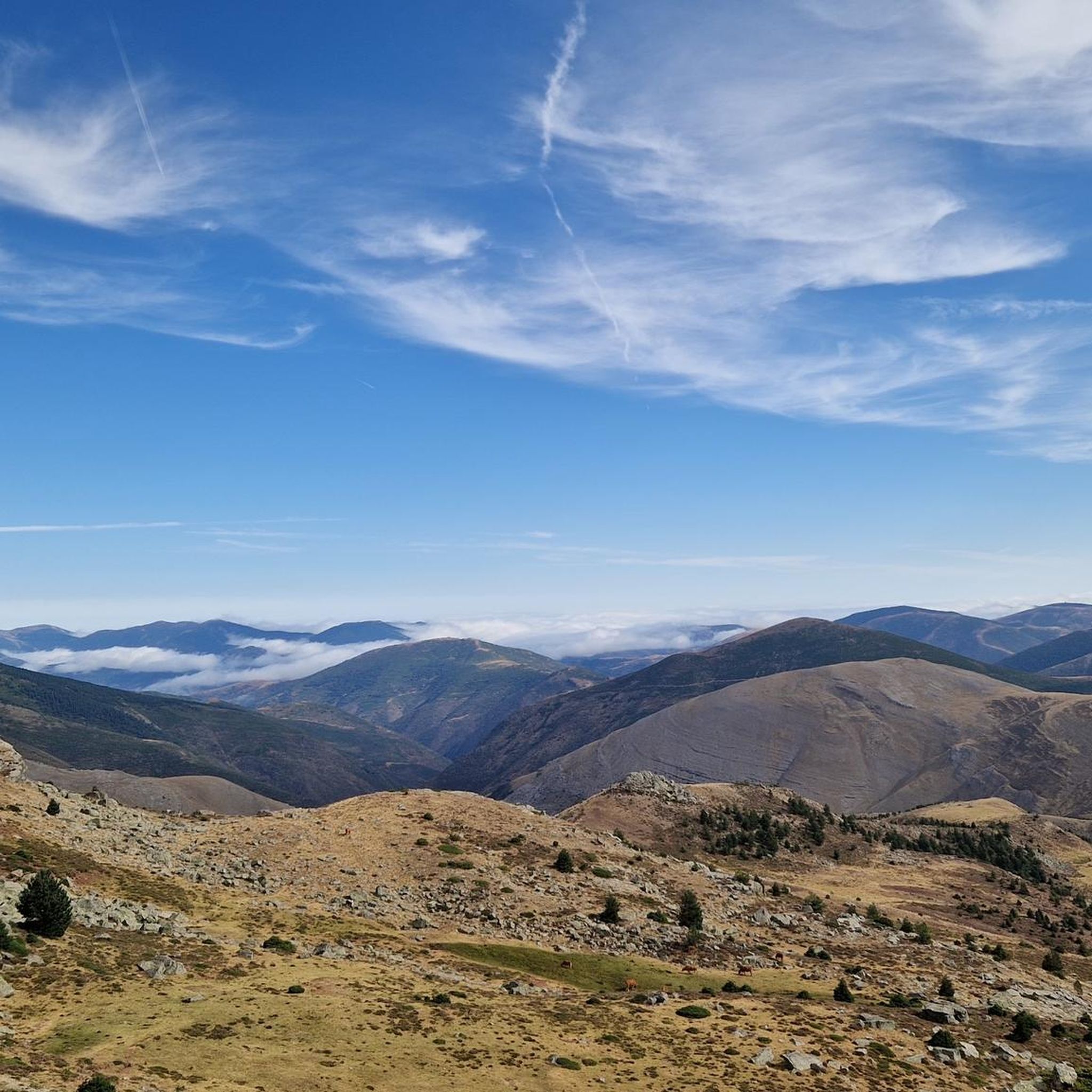
MTB Trails around Duruelo De La Sierra
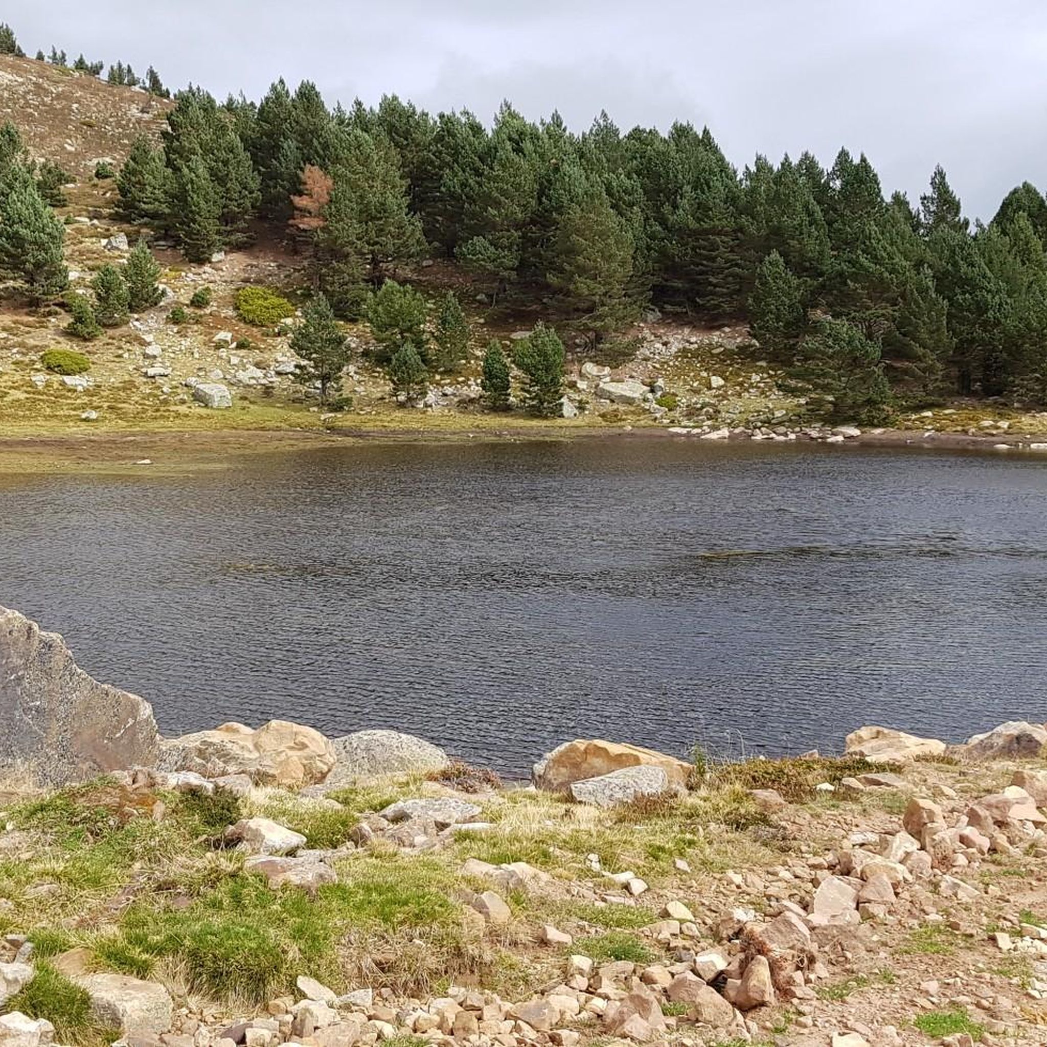
Running Trails around Duruelo De La Sierra
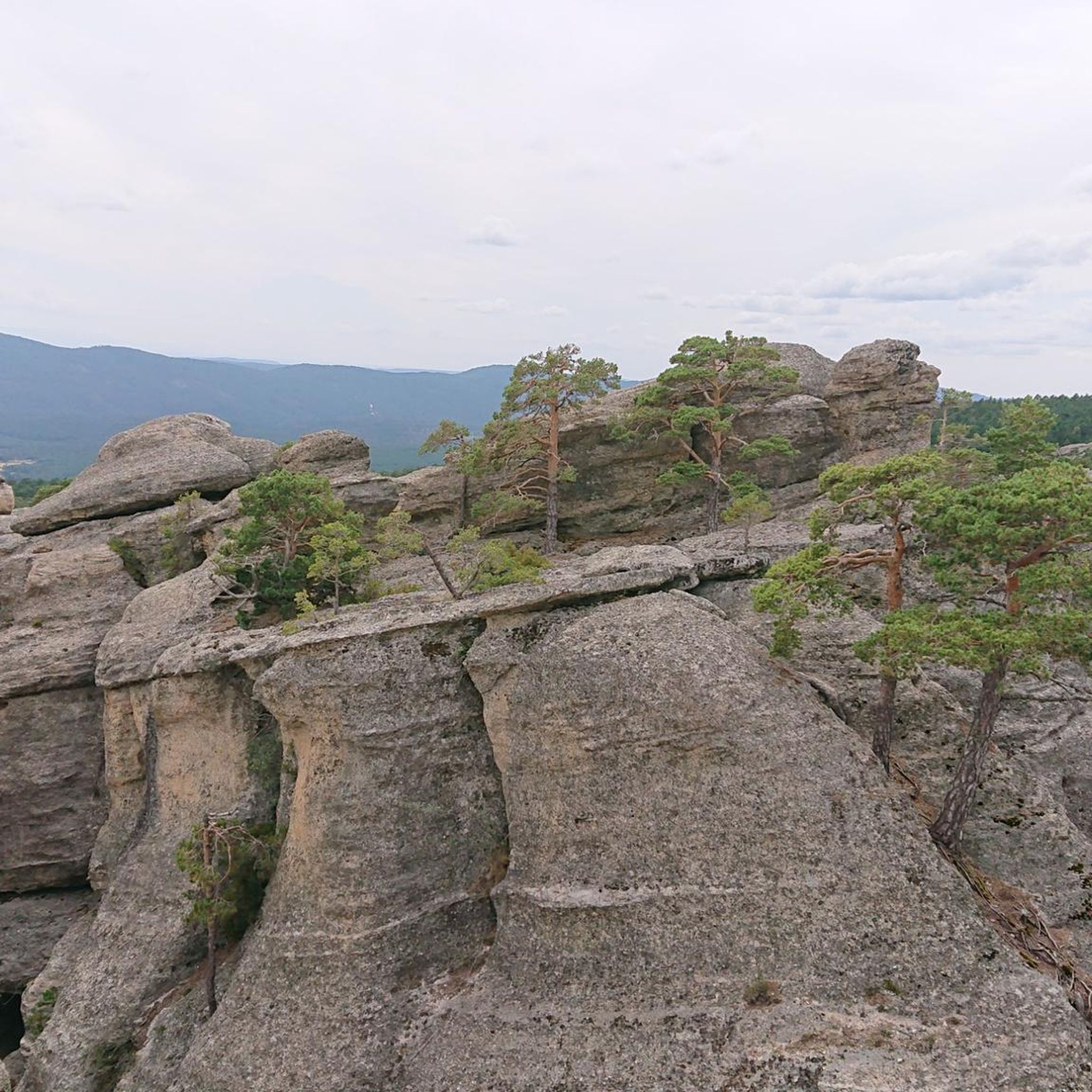
Road Cycling Routes around Duruelo De La Sierra
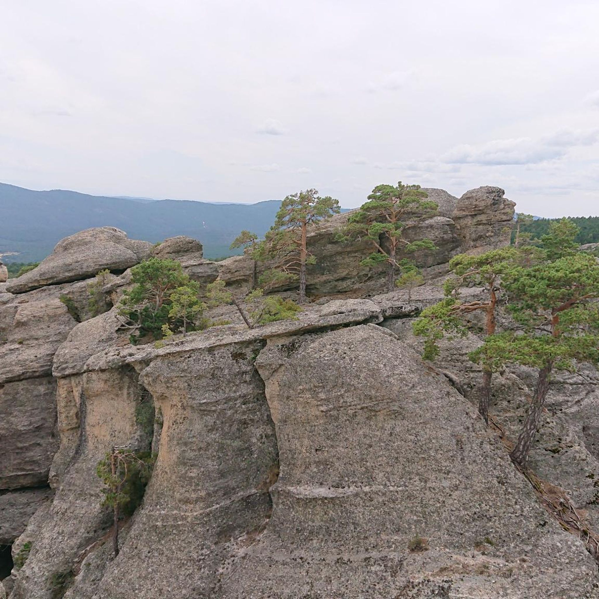
Cycling around Duruelo De La Sierra


Tips from the Community

it is spectacular, for walking peacefully
0
0

Stage 2. Duruelo de la Sierra/Soria 69 kilometers. 510 meters of elevation gain. Duruelo has hotels, restaurants, and grocery stores. It is the town where the Duero River originates at the foot of the Urbión Peaks. The Senda del Duero Nature Trail begins at Fuentes del Duero, where the river officially originates, at an altitude of 2,100 meters, a landscape of crushed granite shaped by the fierceness of the high mountains. The route leaves the town along the Senda del Duero. The posts are located at a cattle gate, and there are hiking and mountain bike trail signs in several directions. The path is also marked with the red and white stripes of the GR-14 trail. It crosses a small, inconspicuous slope on a grassy slope and descends some steps to the fantastic path that runs along the riverbank—the perfect way to start this cycle tour. The river path is about seven kilometers long, with the tricky sections at the end, where rain and flooding have stripped the road bare, requiring careful adjustment to squeeze gravel tires between the stones. There's also a short stretch of stairs that isn't suitable for cycling. The path passes over the Soria Bridge (17th century) and climbs the slopes of Mount Peña Rubia, far from the river. It's the longest and steepest climb of the cycling day. The end is impossible; the path is ridden with roots and rills from runoff, but it only takes a few minutes. Soon, the forest track appears, descending at full speed to Molinos de Duero, another iconic village of pine-forest architecture with its May pine tree in the square and a landmark for road cycling. The red markers of the Duero Path pass under the road and continue toward Vinuesa along the route of an ancient Roman road, which is quite difficult for gravel bikes due to the poor condition of the surface. The comfortable option for bicycles with panniers is the road. Vinuesa is a good place to grab a snack, a section of a branch of the Cañada Real Segoviana (Royal Segovian Trail) that reaches from the Cameros region of Rioja via the Puerto de Santa Inés. The pines of the Revinuesa Valley are magnificent; they have always been renowned for their high-quality wood and their proud, solemn bearing. For centuries, they have shaped the economic pulse of forest resources in the Pinares region.
0
0
A curious large stone, it moves but cannot be dragged.
0
0

One of the best preserved necropolises. It has 140 tombs from between the 11th and 13th centuries.
0
0
Nice trail area
0
0
Nice area for outdoor activities.
0
0
Nice area for mountain biking
0
0
Most popular routes around Duruelo De La Sierra
Most popular attractions around Duruelo De La Sierra

Get inspired with the komoot mobile app


Explore more
Browse the best Gravel rides in other regions.
