The best running trails around Duruelo De La Sierra
5.0
(2)
280
runners
31
runs
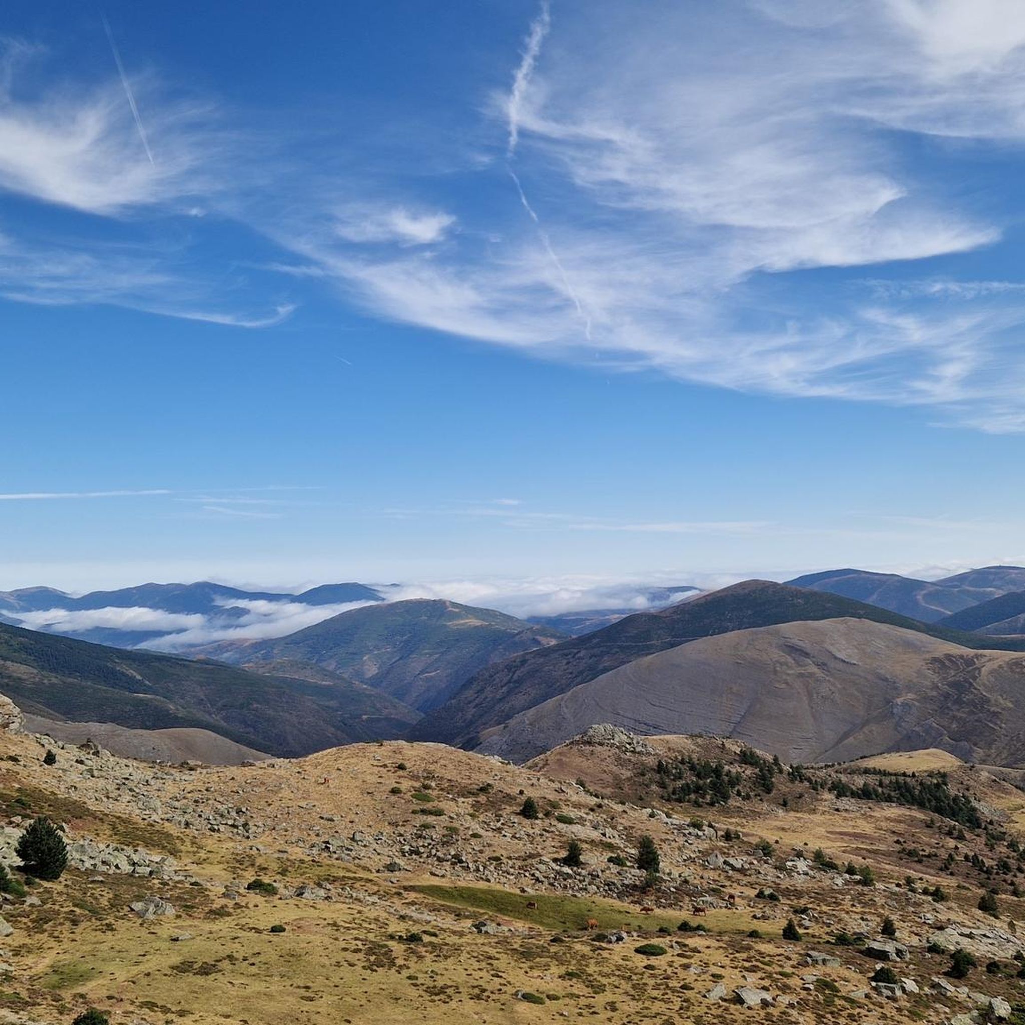
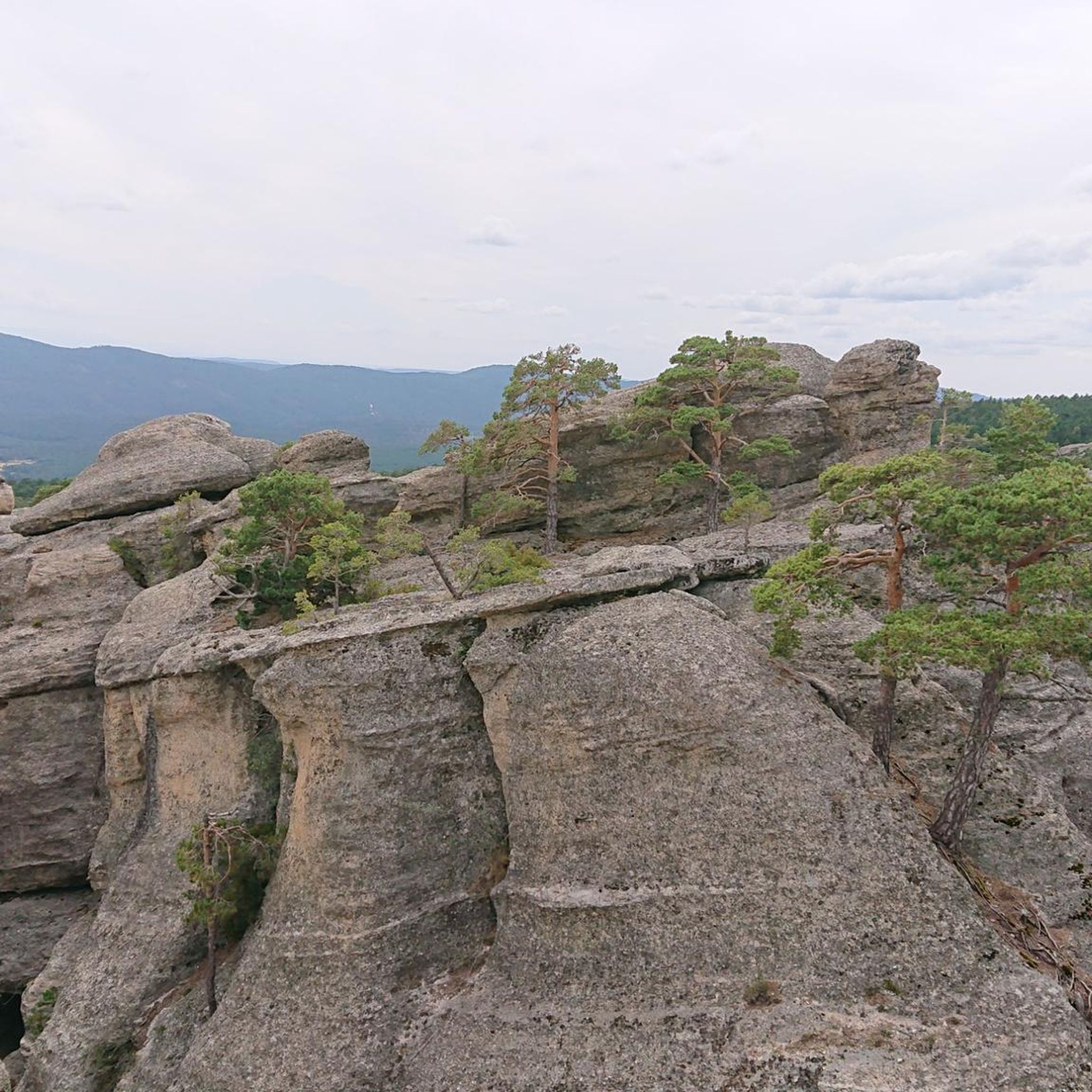
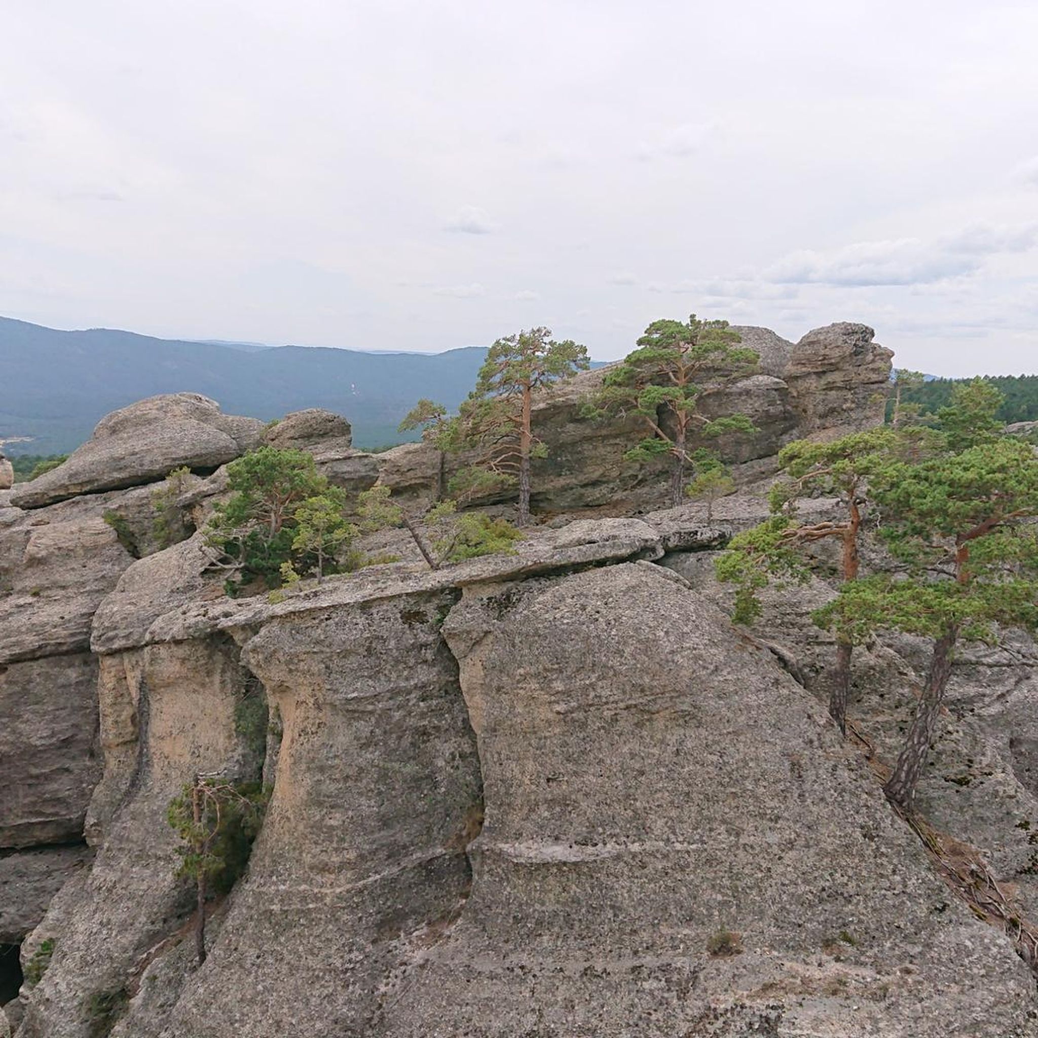
Jogging around Duruelo De La Sierra offers routes through varied terrain, characterized by the glacial cirques and high peaks of the Urbión mountain range. The region features dense pine forests, rocky outcrops, and scenic viewpoints. Running routes often follow natural paths, providing a mix of ascents and descents suitable for trail running.
Best jogging routes around Duruelo De La Sierra
- The most popular jogging route is Sierra al Pico Urbión, Picacho del Camperón y Peñas Blancas, a 5.1 miles…
Last updated: July 7, 2026
5.0
(1)
6
runners
Hard run. Very good fitness required. Sure-footedness, sturdy shoes and alpine experience required.
2
runners
7.06km
01:05
390m
390m
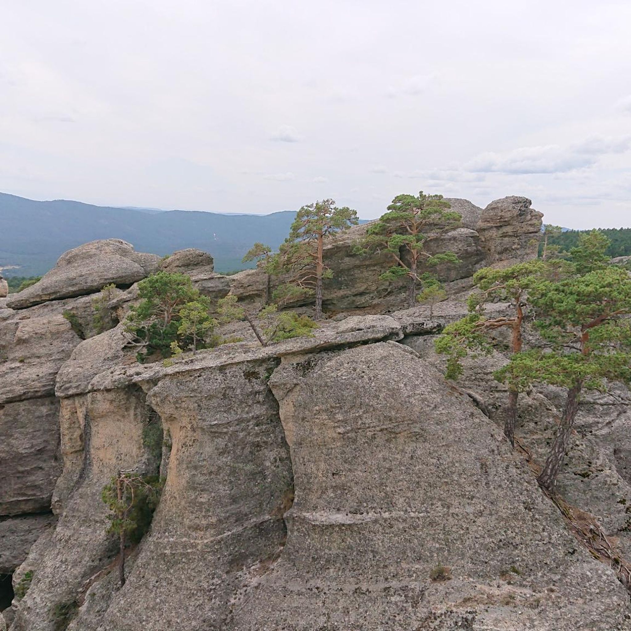
This 4.4-mile difficult trail running route in Duruelo de la Sierra features waterfalls, unique rock formations, and forest paths.

Sign up for free
2
runners
Hard run. Very good fitness required. Mostly paved surfaces. Suitable for all skill levels.
5.0
(1)
42
runners
15.1km
02:19
770m
770m
Hard run. Very good fitness required. Sure-footedness, sturdy shoes and alpine experience required.
21
runners
Hard run. Very good fitness required. Sure-footedness, sturdy shoes and alpine experience required.
Get access to more routes and recommendations from other explorers.
Sign up for free
Already have an account?
Our route recommendations are based on thousands of hikes, rides, and runs completed by other people on komoot.
Start today with a free account
Your next adventure awaits.
Login or Signup
Popular around Duruelo De La Sierra


Tips from the Community


The Cueva Serena Waterfall, located in Duruelo de la Sierra (Soria), is one of the most magical and surprising spots in the Pinares de Urbión region. It's located very close to the Castroviejo area, known for its rock formations reminiscent of an enchanted city.
3
0
Picacho del Camperón is an impressive peak located in the Sierra de Urbión, on the border between Soria and La Rioja. At the top of Picacho del Camperón, you'll find an ice axe stuck in a rock, resembling the sword in Excalibur.
1
0
Nice area for outdoor activities.
0
0
Nice area for outdoor activities.
0
0
Nice area for outdoor activities.
0
0
Nice area for outdoor activities.
0
0
Pico de Urbión is an ideal destination for hiking lovers. It is located between the autonomous community of La Rioja and the provinces of Soria and Burgos (Castilla y León). It limits to the north with the Najerilla valley, to the south with the Duero valley, to the west with the Neila mountain range, and to the east with the Cebollera mountain range.
3
0
Frequently Asked Questions
How many running routes are available in Duruelo De La Sierra?
There are over 20 running routes around Duruelo De La Sierra, offering a variety of options for different skill levels and preferences. The region is known for its dense pine forests and dramatic rock formations.
Are there any easy or moderate running trails for beginners in Duruelo De La Sierra?
While many routes in Duruelo De La Sierra are challenging, there are some moderate options available. For example, the Running loop from Covaleda is a moderate 8.3-mile (13.3 km) path with less elevation gain, suitable for those looking for a less strenuous run.
What kind of natural sights can I expect to see along the running routes?
The running routes often feature stunning natural landmarks. You can expect to see the high peaks of the Urbión mountain range, dense pine forests, and unique rock formations. Notable attractions include the Pico de Urbión, the Source of the Duero River, and the beautiful Laguna Larga.
Are there any routes that pass by waterfalls?
Yes, several routes offer views of waterfalls. The Castroviejo and Cueva Serena Trail specifically leads past the impressive Cueva Serena Waterfall. Another option is the Mirador de Castroviejo, cascada de la Chorla y Cueva Serena route, which also features the Cascada de la Chorla.
Are there circular running routes available in Duruelo De La Sierra?
Yes, many of the running routes in Duruelo De La Sierra are circular, allowing you to start and end at the same point. An example is the challenging Sierra al Pico Urbión, Picacho del Camperón y Peñas Blancas, which is a circular trail through the Natural Park.
What is the best time of year for running in Duruelo De La Sierra?
The best time for running in Duruelo De La Sierra is generally from spring through autumn. During these seasons, the weather is more favorable, and the trails are typically clear. Winter can be challenging due to snow and ice, especially at higher elevations in the Urbión mountain range.
Are there any viewpoints along the running trails?
Absolutely. The mountainous terrain of Duruelo De La Sierra offers numerous scenic viewpoints. The Mirador de Castroviejo, cascada de la Chorla y Cueva Serena route, for instance, is named after a prominent viewpoint, offering expansive vistas of the surrounding landscape.
What do other runners say about the trails in Duruelo De La Sierra?
The running routes in Duruelo De La Sierra are highly regarded by the komoot community, with an average score of 5.0 stars from over 1 review. Runners often praise the challenging ascents, the beauty of the pine forests, and the dramatic rock formations that define the region's trails.
Are there any long-distance running options for experienced trail runners?
Yes, for experienced trail runners seeking a significant challenge, routes like the El Astillero Junction – Covarnantes Rock Formations loop from Almirón offer a substantial distance of over 16 miles (26 km) with considerable elevation gain, providing a demanding and rewarding experience.
Can I find routes that explore the glacial cirques of Urbión?
Yes, the region is characterized by its glacial cirques. The Sierra al Pico Urbión, Picacho del Camperón y Peñas Blancas trail is a prime example, taking you through the Natural Park of Laguna Negra and the glacial cirques of Urbión.
What kind of terrain should I expect on the running trails?
The terrain in Duruelo De La Sierra is varied, featuring natural paths through dense pine forests, rocky outcrops, and some significant ascents and descents. It's typical trail running terrain, often requiring appropriate footwear and a good level of fitness.
Most popular routes around Duruelo De La Sierra
Most popular attractions around Duruelo De La Sierra

Get inspired with the komoot mobile app


Explore more
Browse the best Running Trails & Routes in other regions.
