Top 20 Natural Monuments around Langenenslingen
Natural monuments around Langenenslingen are situated in the picturesque landscape at the foot of the Swabian Alb. This region is characterized by extensive forests and a varied topography, offering diverse natural areas. The area provides opportunities for outdoor recreation and is recognized for its ecological significance. Langenenslingen is the largest and most forested municipality in the Biberach district.
Best natural monuments around Langenenslingen
- The most popular natural monuments is Glastal Valley, a gorge that offers opportunities for circular hikes.…
Last updated: June 25, 2026
Wimsener Cave
Highlight • Cave
The natural monument known as the "Wimsen Cave" or "Friedrich Cave" is the only "active" water cave in Germany that can be navigated …
Translated by Google •
Tip by

Small Waterfalls Near Wimsener Höhle
Highlight • Waterfall
Translated by Google •
Tip by

Sign up now to discover places like this
Get recommendations on the best single tracks, peaks, & plenty of other exciting outdoor places.
Sign up for free
Glastal Valley
Highlight • Gorge
Translated by Google •
Tip by

Zielfingen Lakes
Highlight • Lake
Translated by Google •
Tip by

Lauchert Pond
Highlight • Lake
Translated by Google •
Tip by

Sign up for free to discover even more natural monuments around Langenenslingen.
Sign up for free
Already have an account?
Start today with a free account
Your next adventure awaits.
Login or Signup
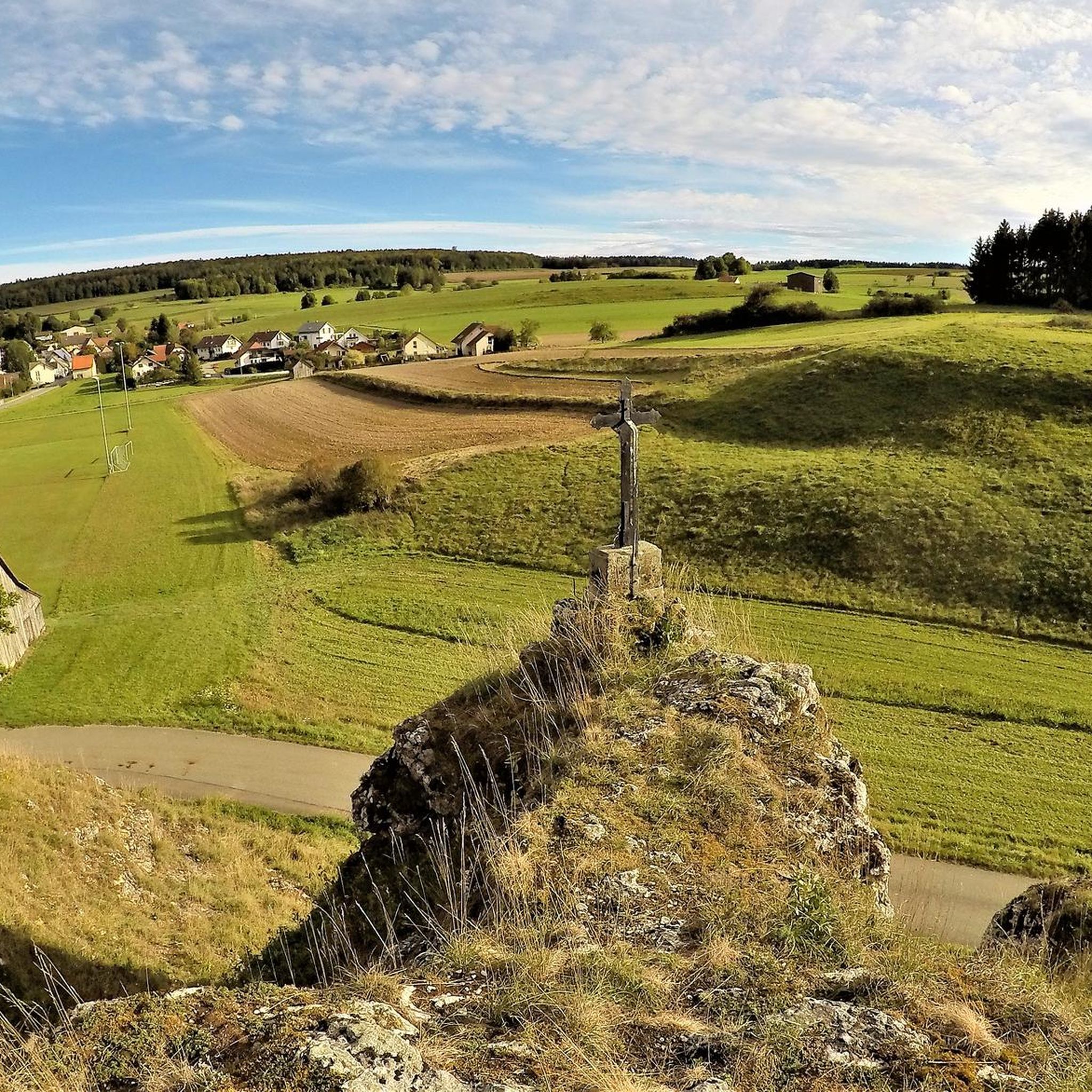
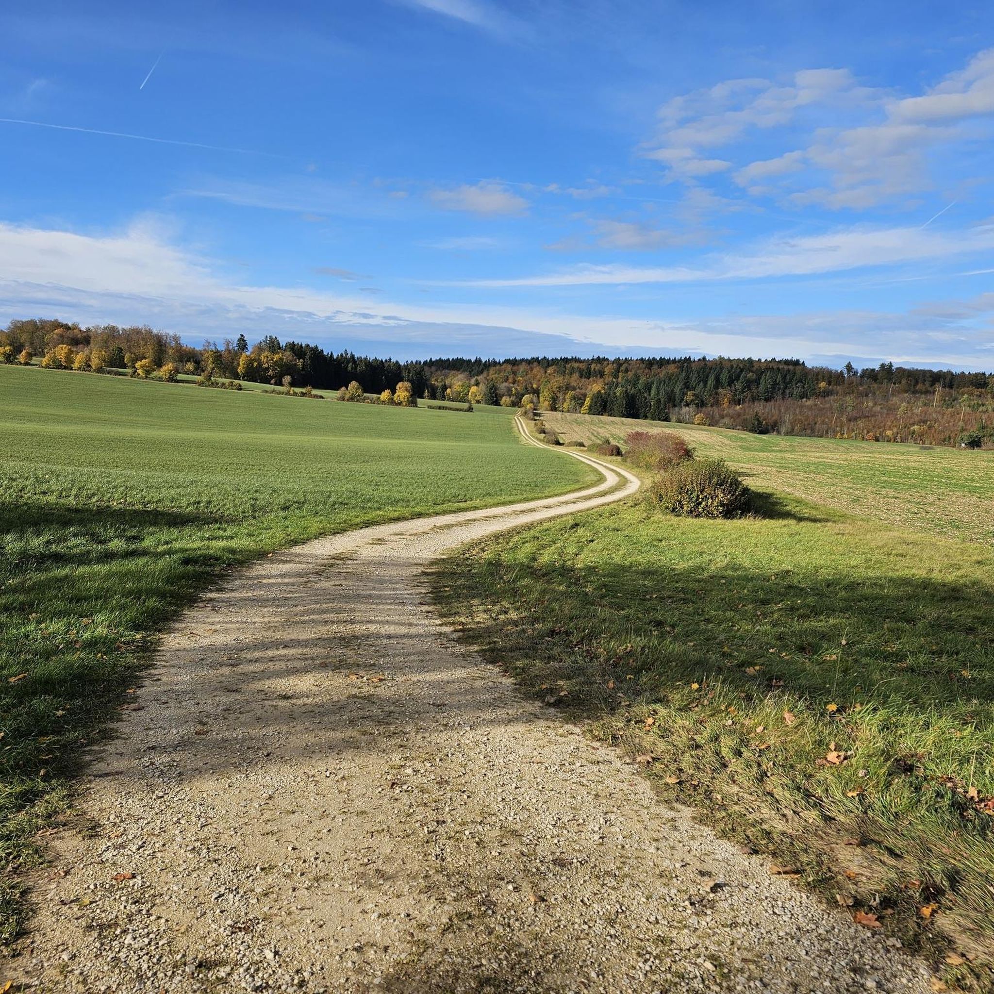
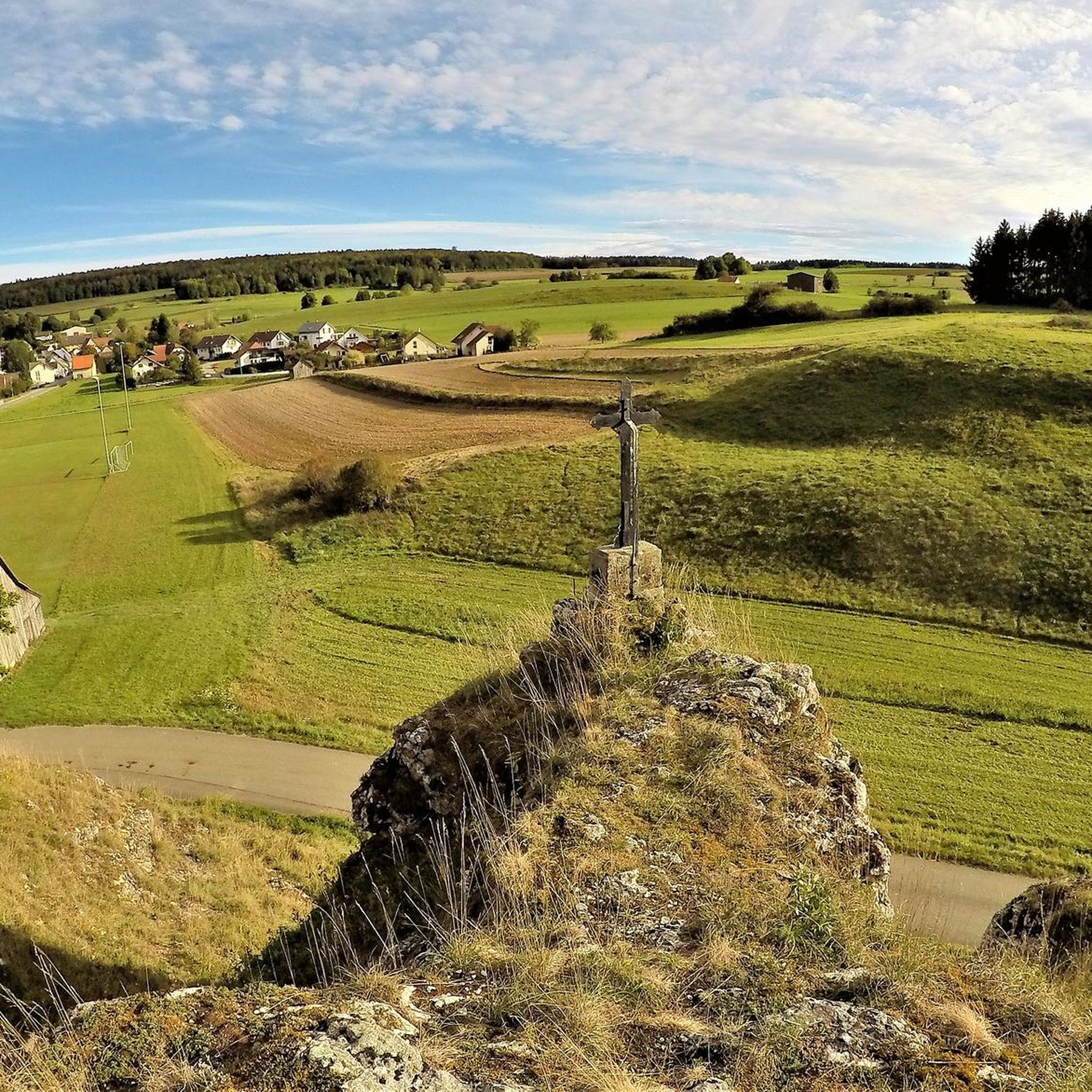
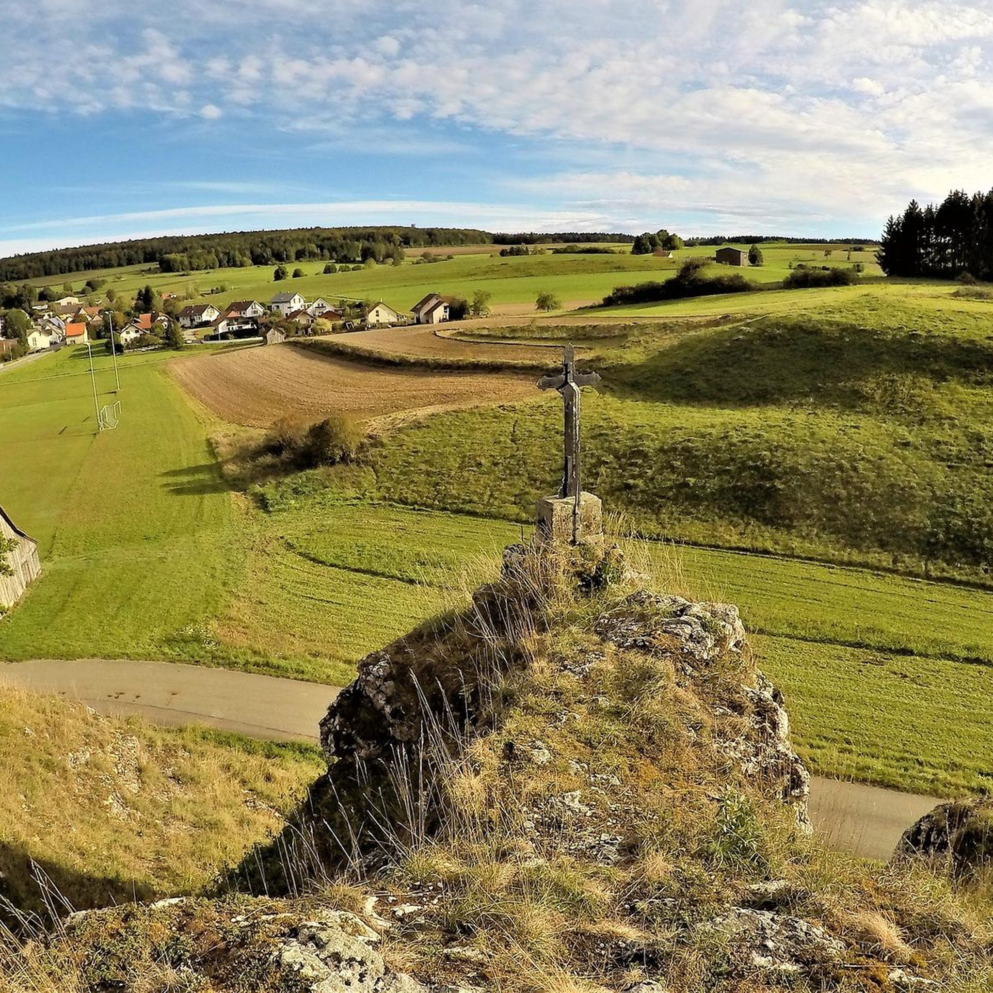
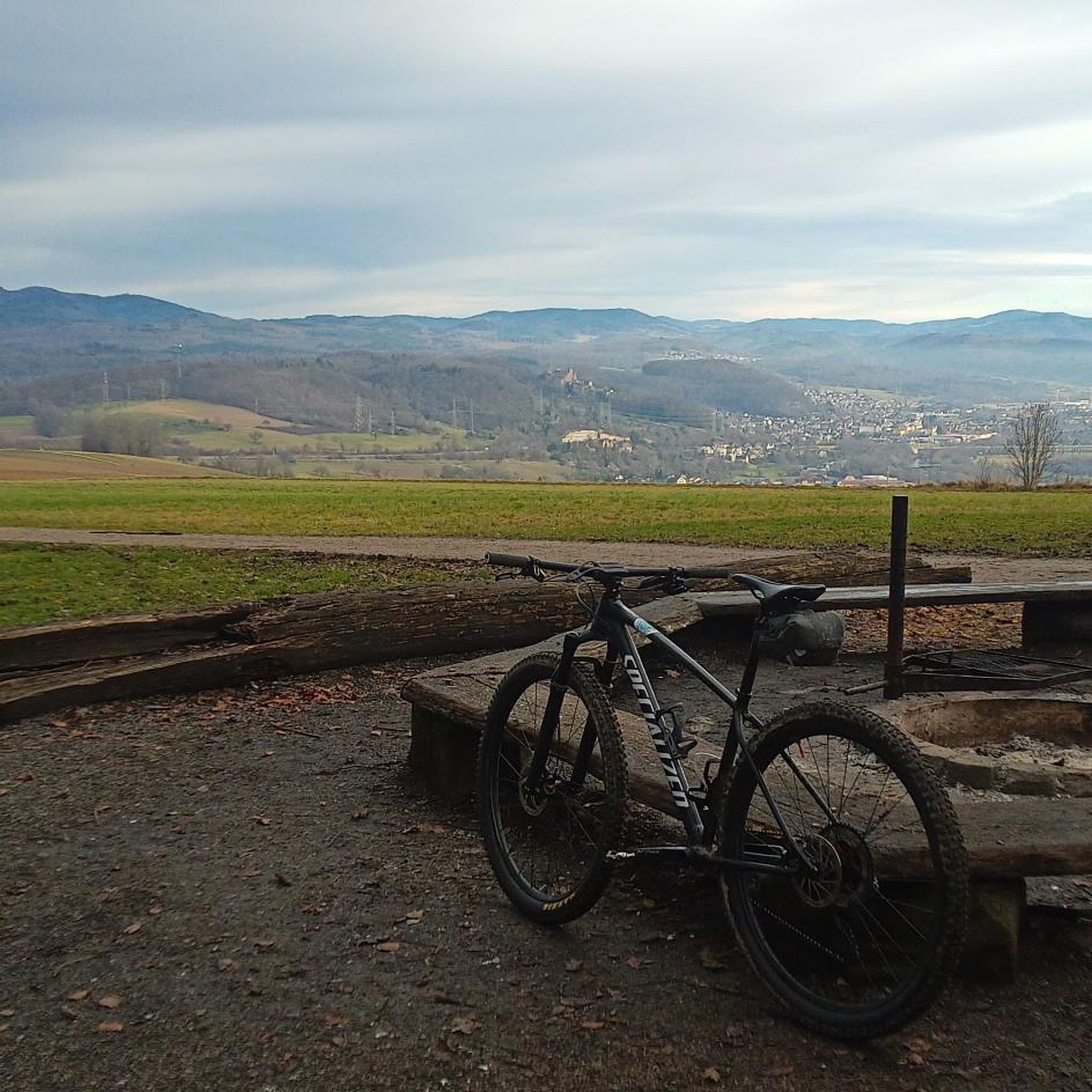
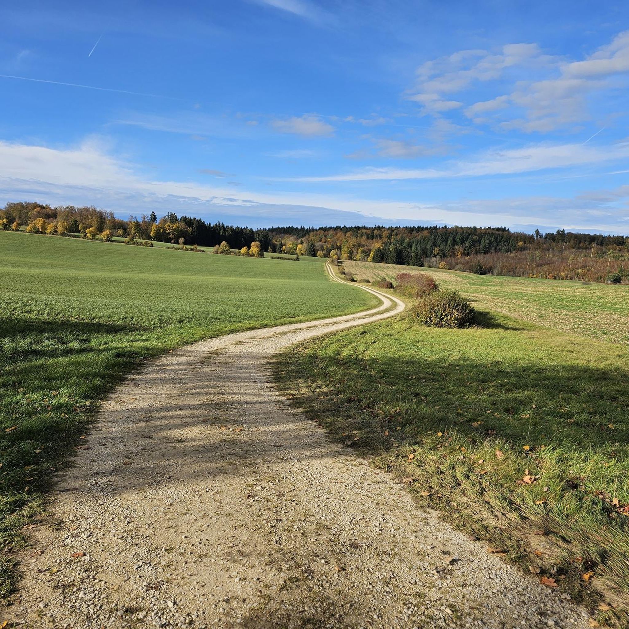
Tips from the Community

Pure nature, lies on the tour
4
0

Located in the Fehlatal nature reserve
0
0

Great route for everyone... but you're probably rarely alone here
9
0

A wonderful place for a rest.
2
0

Beautiful lake on the Lauchert with benches for a break.
6
0


Wonderful place for a little break. There are swans here too.
5
0

It babbles along with small waterfalls and clear water
6
0
Frequently Asked Questions
What unique natural features can I explore around Langenenslingen?
Langenenslingen offers a variety of unique natural features. You can visit the Wimsener Cave, which is Germany's only active water cave navigable by boat. The Glastal Valley is known for its beautiful nature and bright limestone cliffs, perfect for circular hikes. Additionally, the Small Waterfalls Near Wimsener Höhle provide a picturesque starting point for numerous walks along the stream.
Are there family-friendly natural monuments in the Langenenslingen area?
Yes, several natural monuments are suitable for families. The Wimsener Cave is a great destination for all ages, offering boat tours and a water playground nearby. The Glastal Valley and the Small Waterfalls Near Wimsener Höhle also provide accessible and enjoyable hiking opportunities for families.
What kind of hiking opportunities are available near Langenenslingen's natural monuments?
The region boasts extensive forests and a well-maintained network of paths, offering excellent walking and hiking opportunities. You can find trails around the Glastal Valley, which connects to the Schweiftal valley for a scenic circular hike. The area around the Small Waterfalls Near Wimsener Höhle also serves as a starting point for various hikes along the stream. For more specific routes, you can explore the many running trails around Langenenslingen.
Can I find historical sites integrated with the natural landscape?
Yes, the "Alte Burg" (Old Castle) within the Warmtal area offers a fascinating blend of natural exploration and historical discovery. This roughly two-hectare complex features ancient human-made terraces and massive walls, identified as Celtic in origin. Excavations have revealed significant archaeological finds, and portions of the original wall are accessible to the public, providing insights into Celtic history within a natural setting.
Are there any nature reserves worth visiting in Langenenslingen?
Absolutely. The Warmtal Nature Reserve (Naturschutzgebiet Warmtal) is a prominent area recognized for its diverse cultural landscape and as a habitat for endangered species. It offers expansive views of Oberschwaben and is ideal for peaceful natural experiences. Langenenslingen also shares parts of other nature reserves like Heusteige, Kirchhalde, Sauloch, and Tannenhalde, all contributing to the region's rich biodiversity.
What is the best time of year to visit the natural monuments around Langenenslingen?
The region's natural monuments are enjoyable throughout much of the year. Spring and summer are ideal for hiking and observing flora, especially in areas like Lohrmannbuckel where rare orchid species bloom. Autumn offers beautiful foliage, and even winter can provide unique opportunities for tranquil walks, though some paths might be more challenging. The area is generally less impacted by heavy tourism, allowing for a peaceful experience in most seasons.
Where can I observe unique flora in the region?
The Lohrmannbuckel, situated within the Warmtal area, is particularly renowned for its rare and diverse flora. It's a small section where numerous lady's slipper orchids can be found. Visitors are encouraged to stay on designated paths and maintain a respectful distance to help preserve this delicate ecosystem.
What cycling opportunities are there near the natural monuments?
Langenenslingen's varied landscape and extensive forests provide numerous possibilities for cycling. You can find a range of routes, from road cycling routes to gravel biking trails. Many of these routes pass through or near the natural areas, allowing you to combine your ride with scenic views and natural exploration.
Are there any lakes or rivers to visit?
Yes, the region features beautiful water bodies. The Zielfingen Lakes offer a recreational area with a bathing beach and opportunities for swimming and surfing. Additionally, the Renatured Danube Canal near Riedlingen showcases successful river restoration efforts, providing a scenic spot for observing wild animals and water birds along a pleasant bike path.
What do visitors enjoy most about the natural monuments around Langenenslingen?
Visitors frequently praise the beautiful and unique natural landscape, which invites hiking and offers a chance to leave everyday life behind. The peaceful atmosphere, diverse ecosystems, and opportunities to observe rare flora and fauna are highly appreciated. The blend of natural beauty with historical elements, such as the Celtic 'Alte Burg,' also adds to the appeal.
Is it possible to find food and accommodation near the natural monuments?
While Langenenslingen offers a tranquil natural experience, there are options for food and accommodation. For instance, the Gasthaus Friedrichshöhle is located directly near the Small Waterfalls Near Wimsener Höhle and is highly recommended for its cozy beer garden and rustic ambiance. The Zielfingen Lakes also have restaurants like "Südsee III" and "New Zealand" for culinary delights.
What is the general terrain and elevation like for hikes in the area?
The topography around Langenenslingen ranges from 549m to 803m above sea level, offering a varied landscape. The Warmtal, for example, is characterized by a gently hilly landscape. While many paths are well-maintained and suitable for general walking, some routes may involve moderate elevation changes, providing a good mix for different fitness levels. The region is known for its extensive forests, so expect shaded trails and scenic views.
Most popular routes around Langenenslingen
Most popular attractions around Langenenslingen

Get inspired with the komoot mobile app


Explore more
Extend your search for the best caves by checking out these guides of the top ones around Langenenslingen:
