The 20 Most Amazing Peaks around Sant'Antonino
Best mountain peaks around Sant'Antonino provide varied opportunities for outdoor exploration in a region characterized by its mountainous terrain. The area features numerous summits that offer extensive views of the surrounding valleys and lakes. Sant'Antonino serves as a base for accessing these elevated points, which are integral to the local landscape. These hiking routes near Sant'Antonino cater to different levels of experience.
Best mountain peaks around Sant'Antonino
- The most popular mountain peaks is Monte Tamaro, a summit that offers…
Last updated: June 23, 2026
Monte Tamaro
Highlight • Summit
Translated by Google •
Tip by

Sassariente Summit
Highlight • Summit
Translated by Google •
Tip by

Sign up now to discover places like this
Get recommendations on the best single tracks, peaks, & plenty of other exciting outdoor places.
Sign up for free
Cima di Medeglia Summit Cross
Highlight • Summit
Translated by Google •
Tip by
Saint Mary of the Angels
Highlight • Religious Site
All information about the church can be found here: ticino.ch/de/commons/details/Kirche-Santa-Maria-degli-Angeli/14909.html
Translated by Google •
Tip by

Alpe di Neggia — pass summit and Ritrovo di Neggia restaurant
Highlight • Mountain Pass
Translated by Google •
Tip by
Sign up for free to discover even more peaks around Sant'Antonino.
Sign up for free
Already have an account?
Start today with a free account
Your next adventure awaits.
Login or Signup
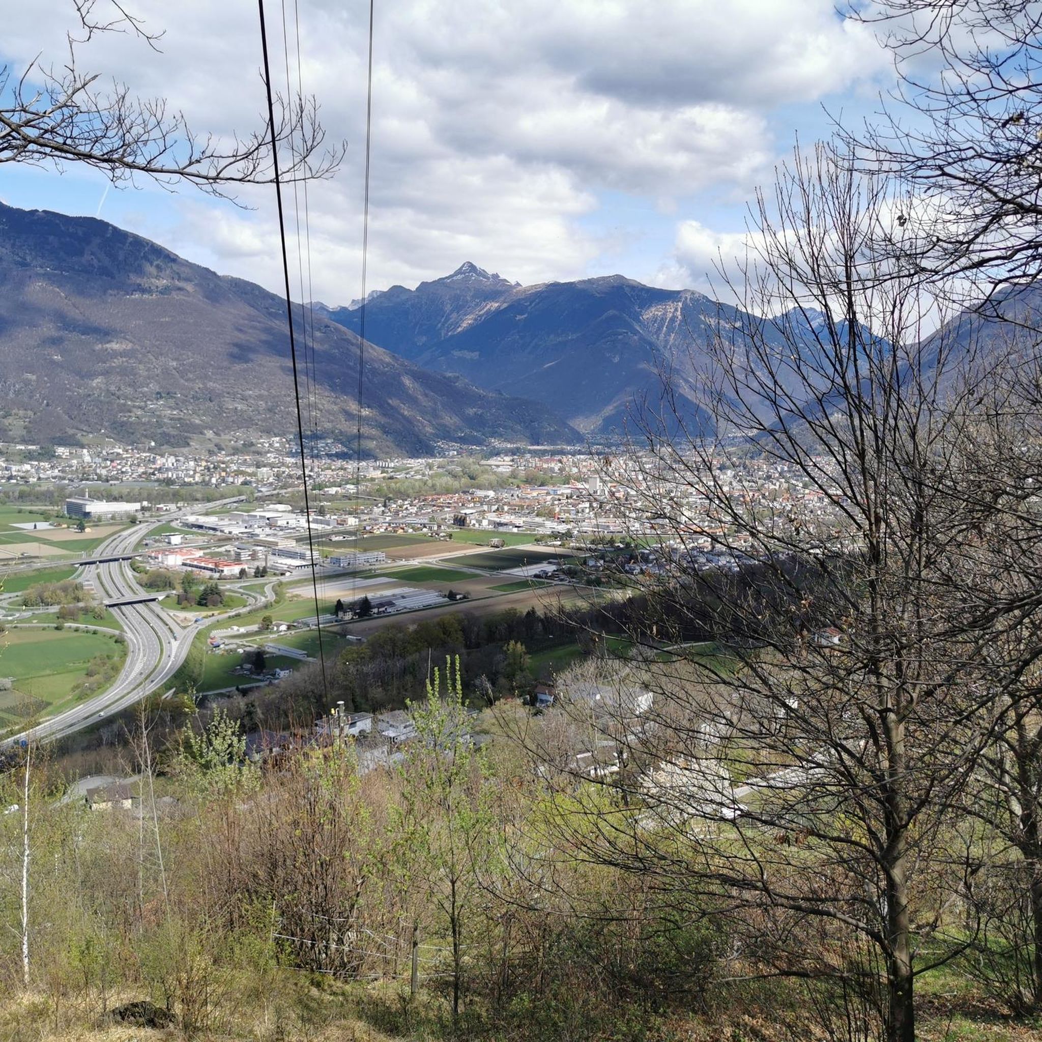
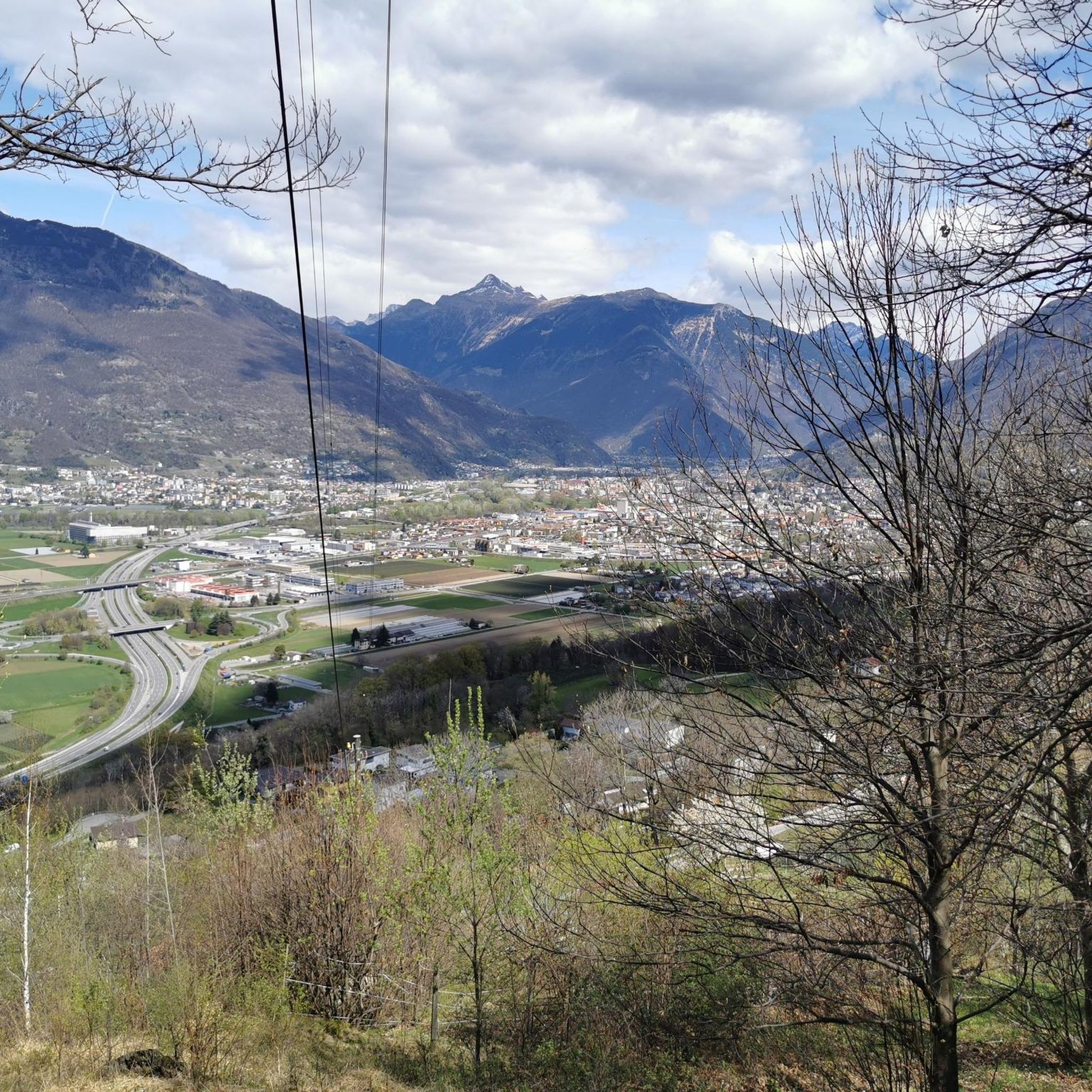
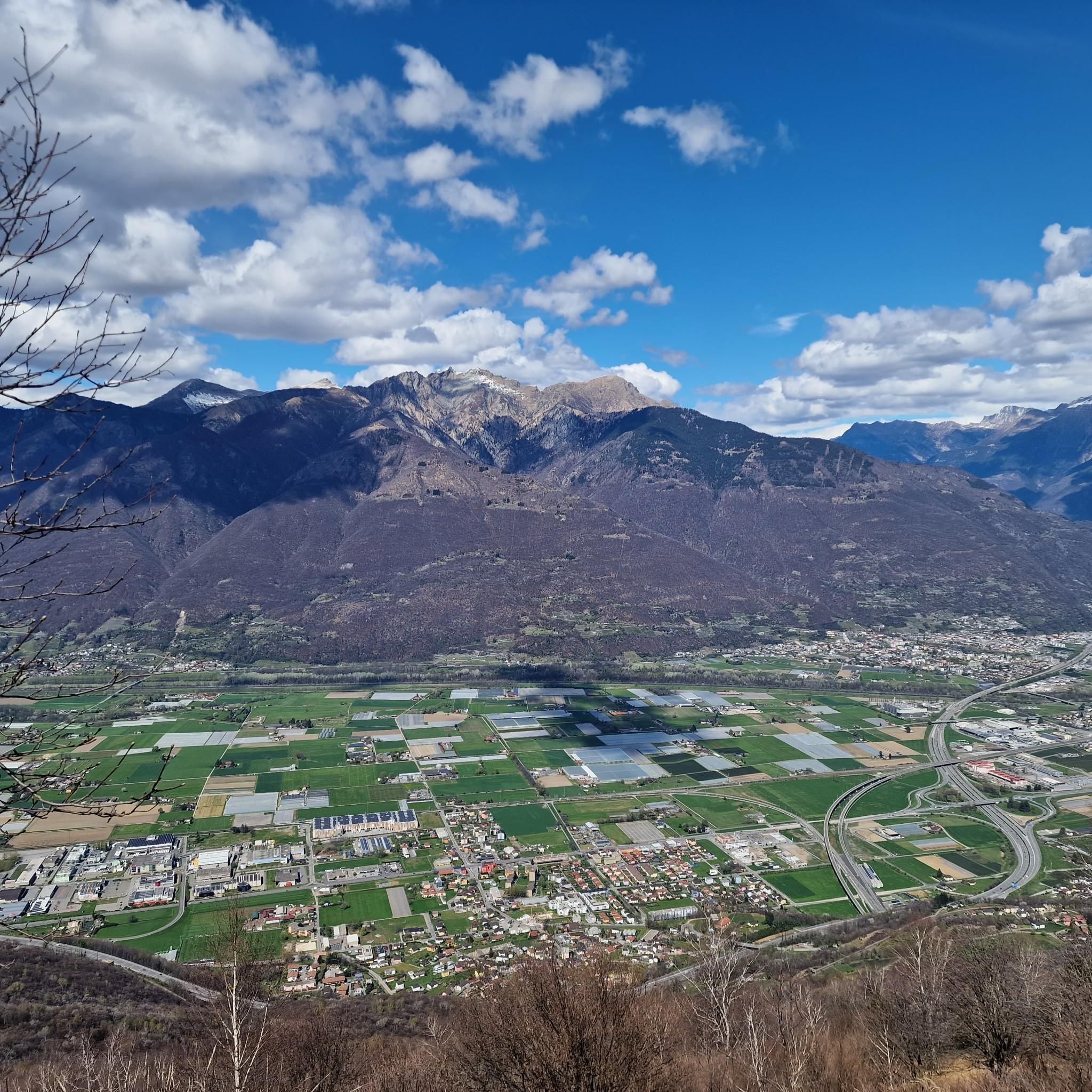
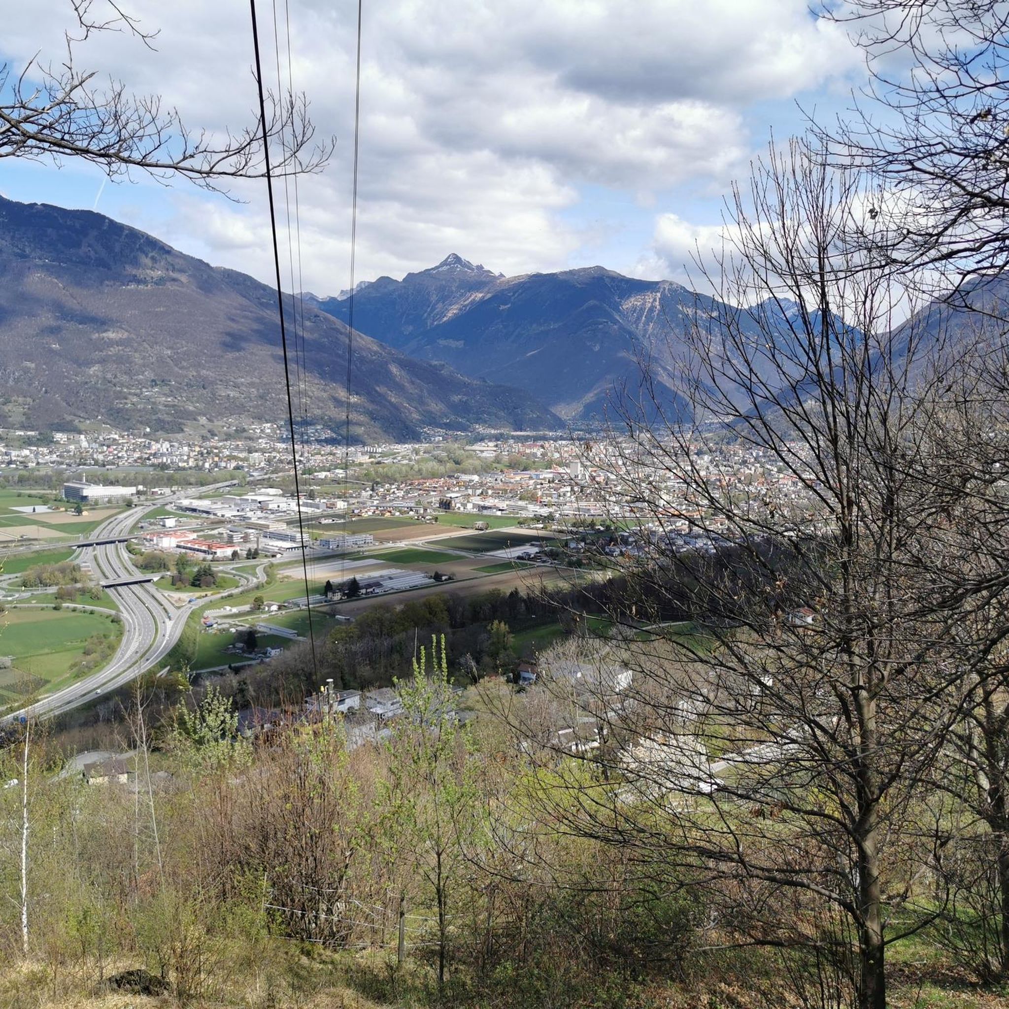
Tips from the Community

The Santa Maria degli Angeli is an impressive chapel on the Alpe Foppa above Rivera. Designed by the renowned architect Mario Botta, it combines modern architecture with spiritual tranquility. A striking footbridge leads spectacularly to the building, opening up views of the Ticino mountain landscape. Inside, intensely colorful works by the artist Enzo Cucchi are impressive. The chapel is a popular destination for hikers and culture enthusiasts. It uniquely combines nature, art, and contemplation and is one of the architectural highlights in Ticino.
4
0
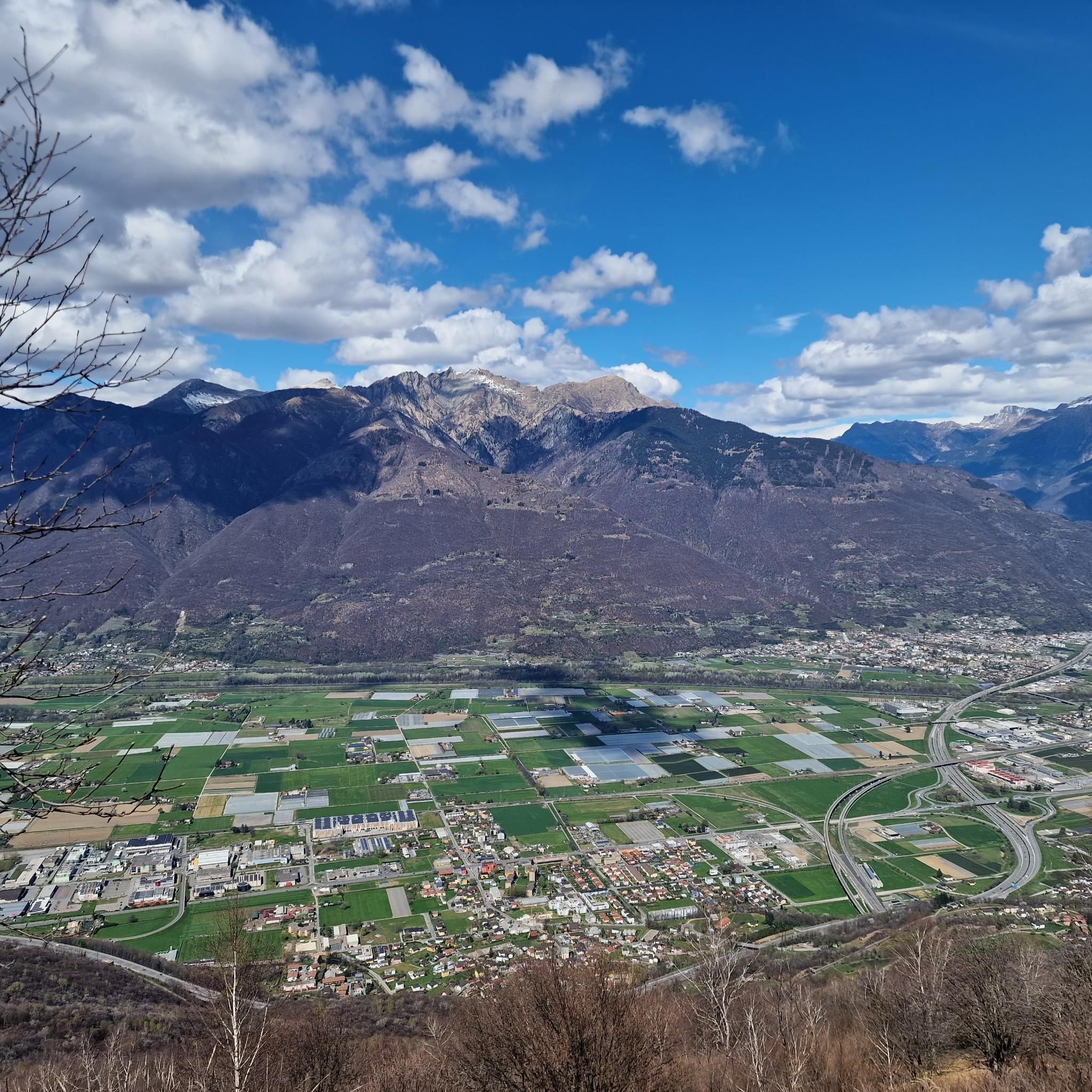
Magnificent 360-degree panoramic view
6
0


Excellent view of the Southern Alps, as far as Lake Maggiore and Lake Lugano. You can see Bellinzona and Locarno
0
0
Magnificent summit with 360 degree panorama.
8
0

View of Lake Maggiore and the Monte Rosa mountain range
0
0

Here you are at 1,260 meters above sea level and can enjoy a beautiful panorama of Lake Maggiore and Lake Lugano.
0
0

One of the most best ridge hikes of Switzerland: https://youtu.be/UWz8CDbwMV8
1
0
Frequently Asked Questions
What are some of the most rewarding mountain peaks to visit around Sant'Antonino?
For breathtaking panoramic views, consider Monte Tamaro, which offers a unique perspective where you can see both the lowest and highest points in Switzerland on a clear day. Another excellent choice is Sassariente Summit, a striking rock formation also known for its simultaneous views of Switzerland's highest and lowest points. For a 360-degree panorama at a lower altitude, Cima di Medeglia Summit Cross is highly recommended.
Are there family-friendly mountain peaks or viewpoints around Sant'Antonino?
Yes, several spots are suitable for families. Cima di Medeglia Summit Cross is noted as family-friendly, offering magnificent 360-degree views. Additionally, the area around Alpe di Neggia, a mountain pass with a restaurant, is a great starting or ending point for family hikes and offers beautiful views.
What kind of natural features can I expect to see from the peaks around Sant'Antonino?
The peaks around Sant'Antonino offer extensive views of the surrounding valleys and lakes, including Lago Maggiore and Lake Lugano. From summits like Monte Tamaro and Sassariente Summit, you can witness the dramatic contrast between the lowest and highest points in Switzerland. The landscape is characterized by mountainous terrain with diverse flora and fauna.
Are there cultural or historical sites near the mountain peaks?
Yes, near Monte Tamaro, you can find Saint Mary of the Angels (Santa Maria degli Angeli church) on Alpe Foppa. This is a masterpiece of contemporary architecture designed by Mario Botta, featuring paintings by Enzo Cucchi. It's easily accessible by gondola from Rivera-Bironico.
What outdoor activities can I do near these mountain peaks?
The region around Sant'Antonino is excellent for various outdoor activities. You can find numerous mountain hikes, including challenging routes like the Sassariente Summit Cross loop. There are also extensive options for cycling and MTB trails, such as the Valle Morobbia Bike Trail or the Isone Bike Trail.
What is the difficulty level of hiking trails around Sant'Antonino's peaks?
The hiking trails around Sant'Antonino offer a range of difficulties. While some routes to popular summits like Monte Tamaro are considered intermediate, others like the Sassariente Summit Cross loop can be quite challenging. There are options for both experienced hikers and those looking for moderate climbs.
When is the best time to hike in the Sant'Antonino mountains?
The best time for hiking in the Sant'Antonino mountains is typically from late spring to early autumn (May to October), when the weather is generally mild and the trails are clear of snow. Summer offers warmer temperatures and longer daylight hours, while spring and autumn provide pleasant conditions with vibrant foliage.
Are there dog-friendly trails in the Sant'Antonino mountains?
Many trails in the Sant'Antonino region are dog-friendly, allowing you to enjoy the mountain scenery with your canine companion. For example, the area around Saint Mary of the Angels on Monte Tamaro is noted as dog-friendly. Always ensure your dog is on a leash and check local regulations for specific areas.
Where can I find parking for hiking trails around Sant'Antonino peaks?
Parking is often available at key access points and mountain passes. For instance, Alpe di Neggia, a mountain pass, is a known starting point for many hikes and offers parking facilities. It's advisable to check specific trailheads for designated parking areas before your visit.
What do visitors enjoy most about the mountain peaks around Sant'Antonino?
Visitors consistently praise the overwhelming panoramic views from the summits, with many highlighting the unique experience of seeing both the lowest and highest points of Switzerland from peaks like Monte Tamaro and Sassariente Summit. The diverse trails, from challenging climbs to more accessible routes, and the opportunity for stunning photography are also frequently mentioned.
Are there circular walks available in the Sant'Antonino mountains?
Yes, the region offers several circular walks. For example, you can find routes like the "Pond with picnic benches loop from Circolo di Bellinzona" or the "Sassariente Summit Cross loop from Gordola" within the Mountain Hikes around Sant'Antonino guide. These loops allow you to experience varied scenery without retracing your steps.
Are there cafes or restaurants near the hiking trails around Sant'Antonino?
Yes, you can find places to eat and rest near some of the hiking trails. Alpe di Neggia features the Ritrovo di Neggia restaurant, known for home-baked cakes and gazosa, with magnificent lake views. Additionally, Saint Mary of the Angels on Monte Tamaro also has facilities including a restaurant.
Most popular routes around Sant'Antonino
Most popular attractions around Sant'Antonino

Get inspired with the komoot mobile app


Explore more
See even more amazing summits around Sant'Antonino with these guides:
