The best running trails around Sant'Antonino
4.7
(13)
882
runners
15
runs
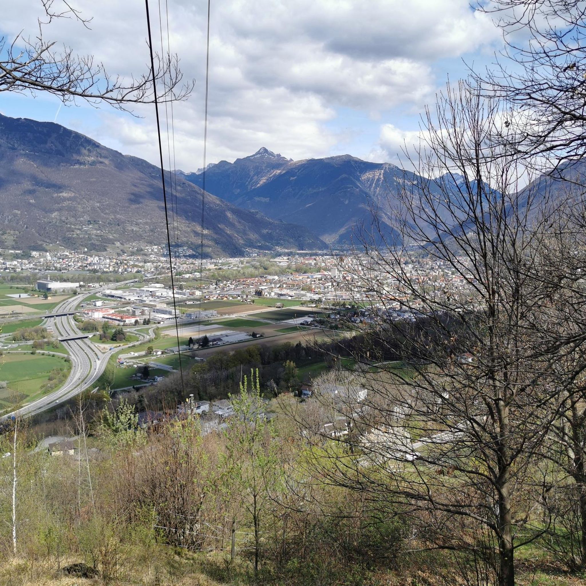
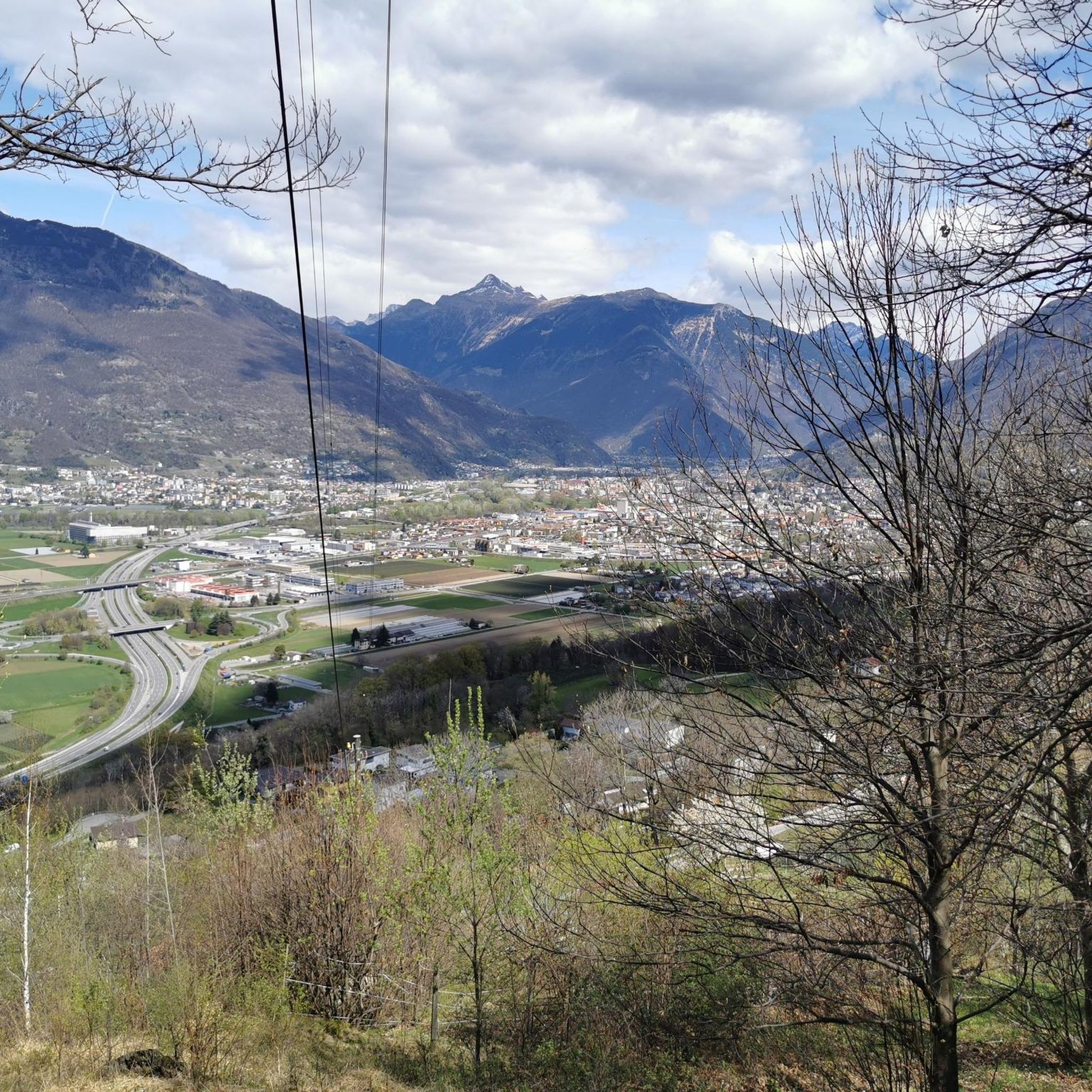
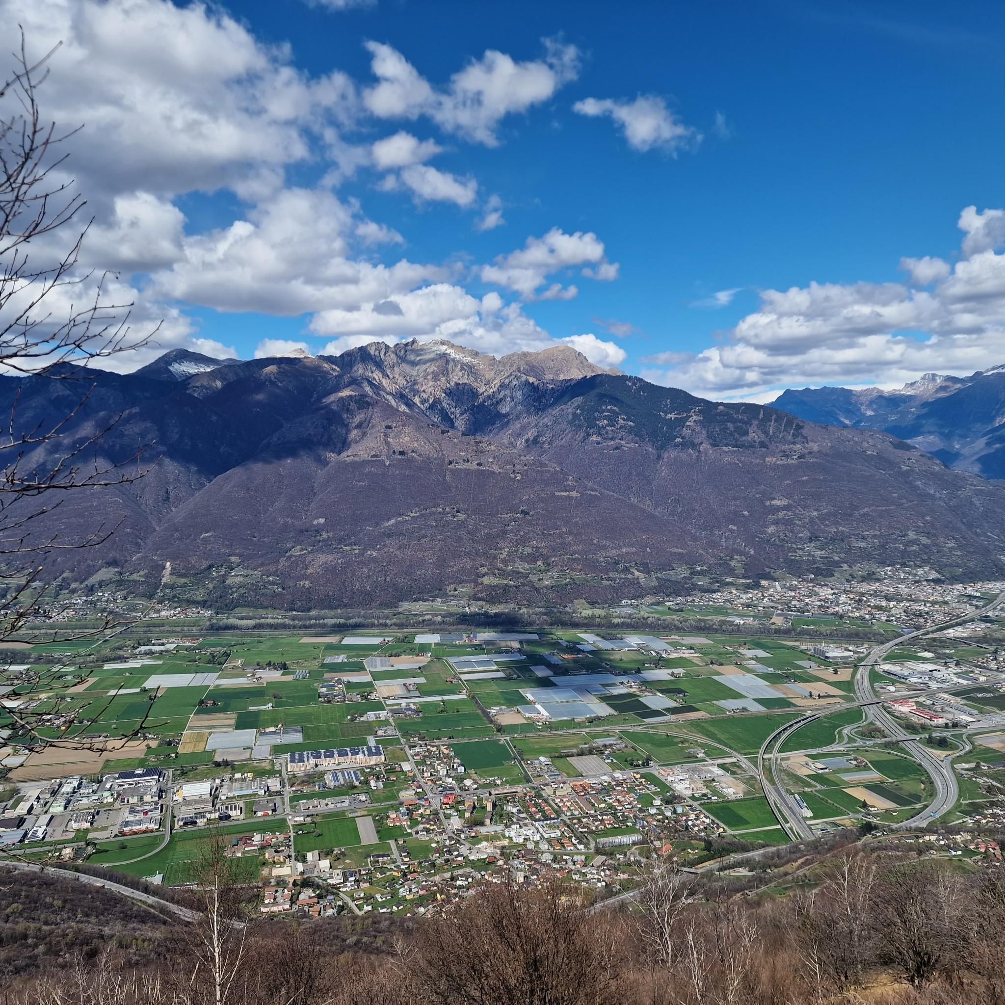
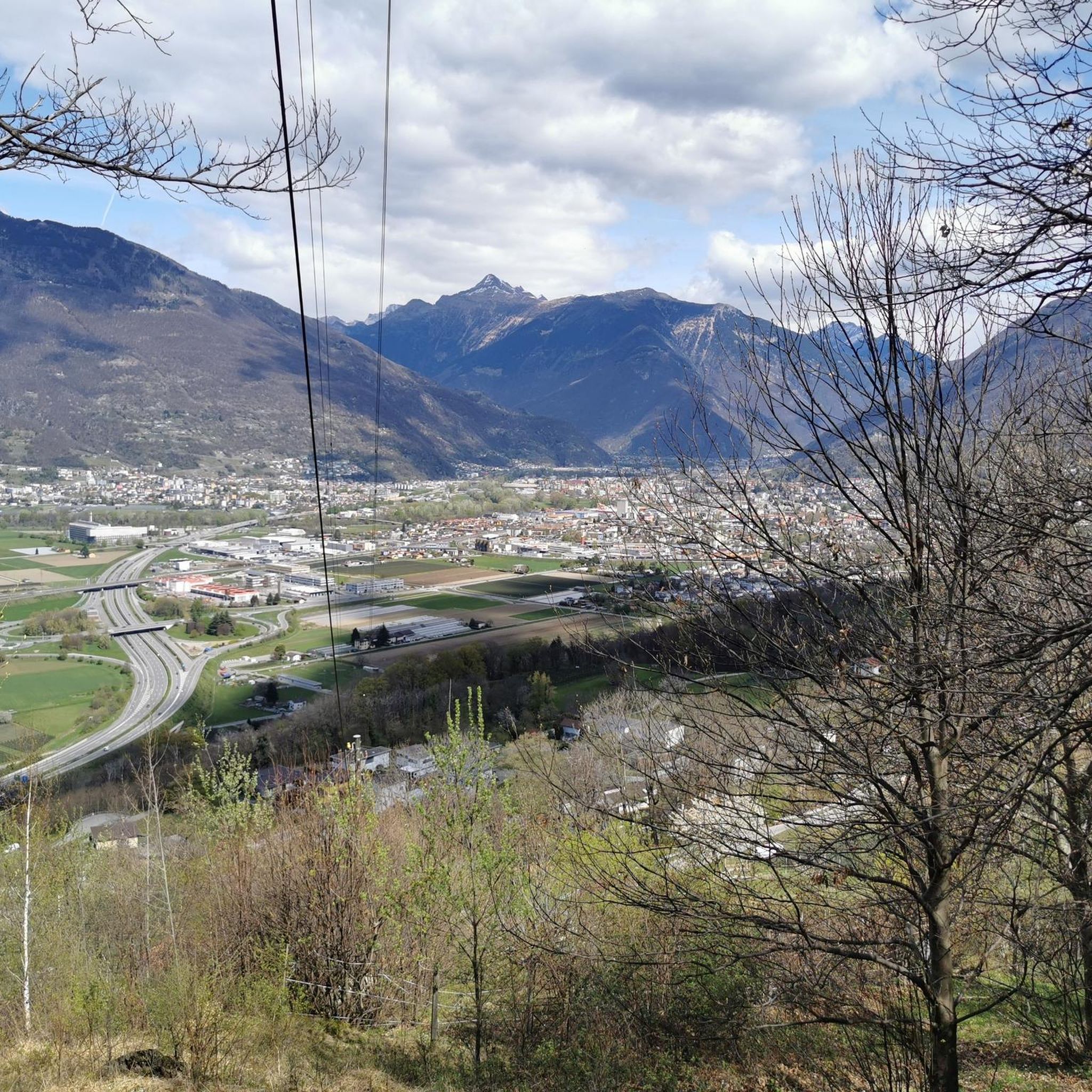
Jogging routes Sant'Antonino offer diverse landscapes across various European locations. The region in Ticino, Switzerland, features a mix of moderate and challenging running trails, often incorporating paved surfaces and accessible paths. Runners can explore areas with views of the Ticino River and surrounding mountains. The terrain provides options ranging from gentle loops to routes with significant elevation gain.
Best jogging routes around Sant'Antonino
- The most popular jogging route is View of the Ticino Mountains – Tenero Marina loop from San…
Last updated: July 4, 2026
48
runners
Hard run. Very good fitness required. Mostly paved surfaces. Suitable for all skill levels.
14
runners
5.96km
00:41
160m
160m
Moderate run. Good fitness required. Mostly paved surfaces. Suitable for all skill levels.

Sign up for free
10
runners
10.9km
01:08
60m
60m
Moderate run. Good fitness required. Mostly paved surfaces. Suitable for all skill levels.
9
runners
7.97km
00:49
10m
10m
Moderate run. Good fitness required. Mostly paved surfaces. Suitable for all skill levels.
7
runners
Moderate run. Good fitness required. Mostly paved surfaces. Suitable for all skill levels.
Get access to more routes and recommendations from other explorers.
Sign up for free
Already have an account?
Our route recommendations are based on thousands of hikes, rides, and runs completed by other people on komoot.
Start today with a free account
Your next adventure awaits.
Login or Signup
Tips from the Community

a beautiful bike ride immersed in nature between woods along the Ticino
0
0

Between Giubiasco and Bellinzona, the VeloCafé is an institution for those who love cycling in the Canton of Ticino. It offers bar service, with coffee, sandwiches and beers for example, but it is also a cycle repair shop and a bicycle shop. The managers will be able to give you important advice for cycling in these areas. Check the opening hours on their website: https://www.velo-cafe.cc.
2
0


Enjoy the mountain panorama or take a refreshing dip
3
0

Perfect place for a dip in the lake. Right at the entrance there are public toilets as well.
0
0

Very nice road to the lake for running. I do my long, medium-paced runs there, or even easy runs
1
0

Tenero is a small town that has made tourism and sport its main activity. Here you will find many services and the sports center, as well as the Lido. A great place to start and end with a workout.
2
0

The beaches along the lake are beautiful for a stop and a tuff.
3
0
Frequently Asked Questions
How many running routes are available around Sant'Antonino?
There are over 15 diverse running routes in the Sant'Antonino area of Ticino, Switzerland. These trails offer a range of experiences, from challenging long-distance runs to shorter, more moderate loops, catering to various fitness levels.
What kind of terrain can I expect on the jogging trails in Sant'Antonino?
The jogging trails around Sant'Antonino feature diverse landscapes, including a mix of paved surfaces and natural paths. You'll encounter green hills, river valleys, and routes with varying elevation, providing options for both flat, fast runs and more challenging climbs. Many routes offer scenic views of the Ticino River and the surrounding mountains.
Are there any family-friendly running paths in Sant'Antonino?
While many routes in Sant'Antonino are moderate, the Ceneri Base Tunnel Entrance loop from Sant'Antonino is a shorter, moderate option at 3.7 miles (6.0 km) with manageable elevation, making it suitable for families looking for a quicker run together. Always check the route details to ensure it matches your family's fitness level.
Can I bring my dog on the running trails in Sant'Antonino?
Generally, dogs are welcome on most outdoor trails in Switzerland, including many running routes around Sant'Antonino. However, it's always best to keep your dog on a leash, especially in nature protection areas or when passing through agricultural land. Be mindful of local regulations and other trail users. Routes like the Running loop from Cadenazzo offer open spaces that can be enjoyable for you and your canine companion.
What are some notable landmarks or points of interest I might see while running in Sant'Antonino?
While running in Sant'Antonino, you can enjoy views of the Ticino River and surrounding mountains. Some routes, like the Castelgrande Castle – Ticino Cycle Path in Giubiasco loop from Sant'Antonino, lead through historical areas and along the Ticino Cycle Path. You might also catch glimpses of significant natural features like Monte Tamaro or the Sassariente Summit in the distance, or pass by the Lakeside Marina of Tenero on Lake Maggiore on longer routes.
Are there any circular running routes in the Sant'Antonino area?
Yes, many of the running routes in Sant'Antonino are designed as loops, offering convenient starting and ending points. Examples include the challenging View of the Ticino Mountains – Tenero Marina loop from San Antonino and the moderate Ceneri Base Tunnel Entrance loop from Sant'Antonino. These circular paths allow you to experience varied scenery without retracing your steps.
What do other runners enjoy most about jogging in Sant'Antonino?
The running routes in Sant'Antonino are highly rated by the komoot community, with an average score of 4.7 stars. Runners often praise the diverse terrain, the scenic views of the Ticino Mountains and river, and the variety of routes available for different ability levels. The mix of paved and natural paths also contributes to a varied and enjoyable running experience.
Are there any longer, more challenging running routes for experienced runners?
Absolutely. For experienced runners seeking a challenge, the View of the Ticino Mountains – Tenero Marina loop from San Antonino is a difficult 19.0-mile (30.6 km) trail with significant elevation, offering extensive views. Another demanding option is the Red Bridge – View of the Ticino River loop from San Antonino, a difficult 13.0-mile (20.9 km) route that follows the river.
What is the best time of year to go jogging in Sant'Antonino?
Sant'Antonino, located in Ticino, Switzerland, generally offers pleasant running conditions from spring through autumn. Spring brings blooming landscapes, while autumn provides cooler temperatures and beautiful fall foliage. Summer can be warm, so early morning or late evening runs are often preferred. Winter running is possible, but some higher elevation trails might be affected by snow or ice, so checking local conditions is advisable.
Are there any running routes that offer views of the Ticino River?
Yes, several routes in Sant'Antonino incorporate views of the Ticino River. The Red Bridge – View of the Ticino River loop from San Antonino is a prime example, offering continuous river scenery. The Castelgrande Castle – Ticino Cycle Path in Giubiasco loop from Sant'Antonino also runs along sections of the Ticino Cycle Path, providing river views.
Are there any easy or beginner-friendly running paths in Sant'Antonino?
While most routes are classified as moderate, beginners can find suitable options. The Ceneri Base Tunnel Entrance loop from Sant'Antonino is a moderate 3.7-mile (6.0 km) path with manageable elevation, making it a good choice for those starting out or looking for a quicker, less strenuous run. Always check the route's elevation profile to match your comfort level.
Most popular routes around Sant'Antonino
Most popular attractions around Sant'Antonino

Get inspired with the komoot mobile app


Explore more
Browse the best Running Trails & Routes in other regions.
