Top 20 Natural Monuments around Saal an der Saale
Best natural monuments around Saal an der Saale are found within the picturesque Grabfeld region of Lower Franconia. The area is defined by its riverine landscape, notably the confluence of the Franconian Saale and Milz rivers. Elevated viewpoints provide expansive vistas over the surrounding valleys and rolling hills. This region offers a combination of natural features and opportunities for outdoor exploration.
Best natural monuments around Saal an der Saale
- The most popular natural monument is Sulzfelder Lake, a lake…
Last updated: May 11, 2026
Sulzfelder Lake
Highlight • Lake
Translated by Google •
Tip by

Spa and Palace Park Bad Neustadt
Highlight • Natural Monument
From: frankens-paradiese.de/poi/kur-_und_schlosspark_bad_neust-9052
Translated by Google •
Tip by

Sign up now to discover places like this
Get recommendations on the best single tracks, peaks, & plenty of other exciting outdoor places.
Sign up for free
Eagle and Snake Sculpture at Karl-Theodor Spring
Highlight • Monument
I could well imagine that the artist who created the …
Translated by Google •
Tip by
Reder Cross
Highlight • Monument
Translated by Google •
Tip by

Sources of the Franconian Saale
Highlight • River
Translated by Google •
Tip by

Sign up for free to discover even more natural monuments around Saal an der Saale.
Sign up for free
Already have an account?
Start today with a free account
Your next adventure awaits.
Login or Signup
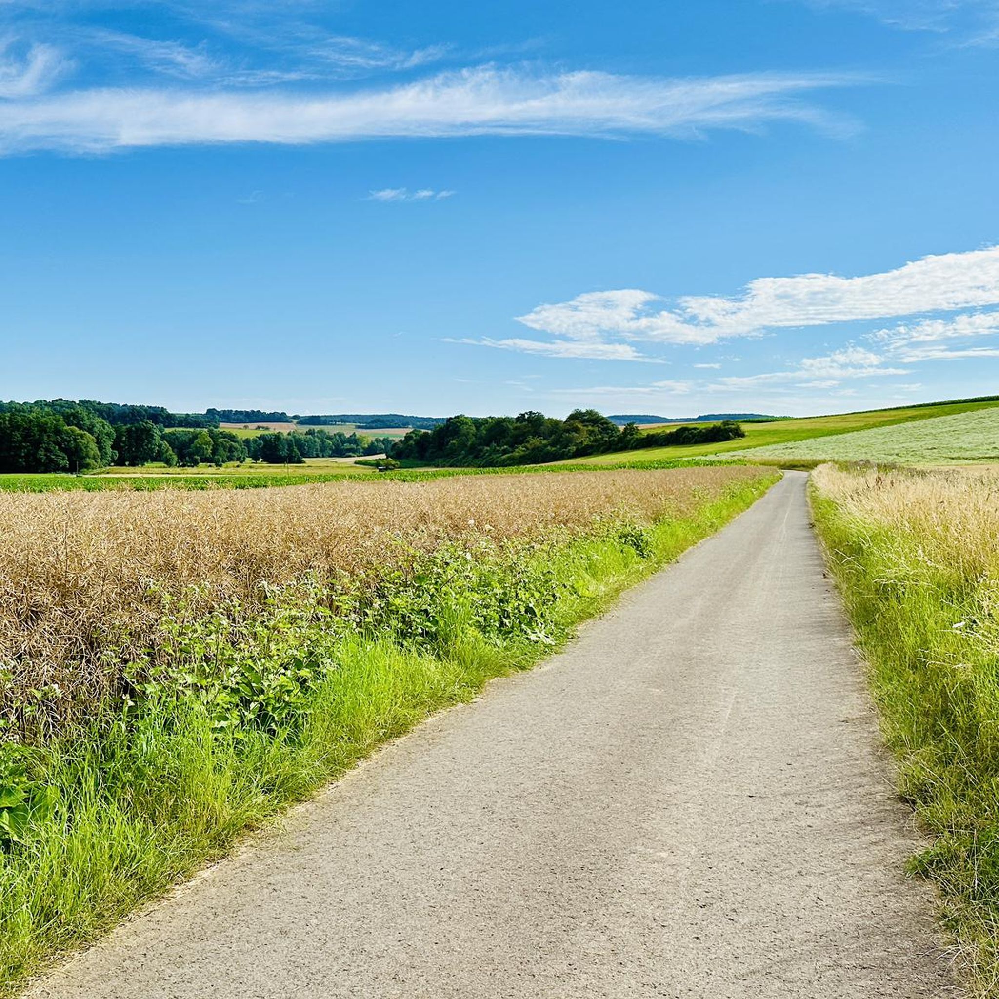
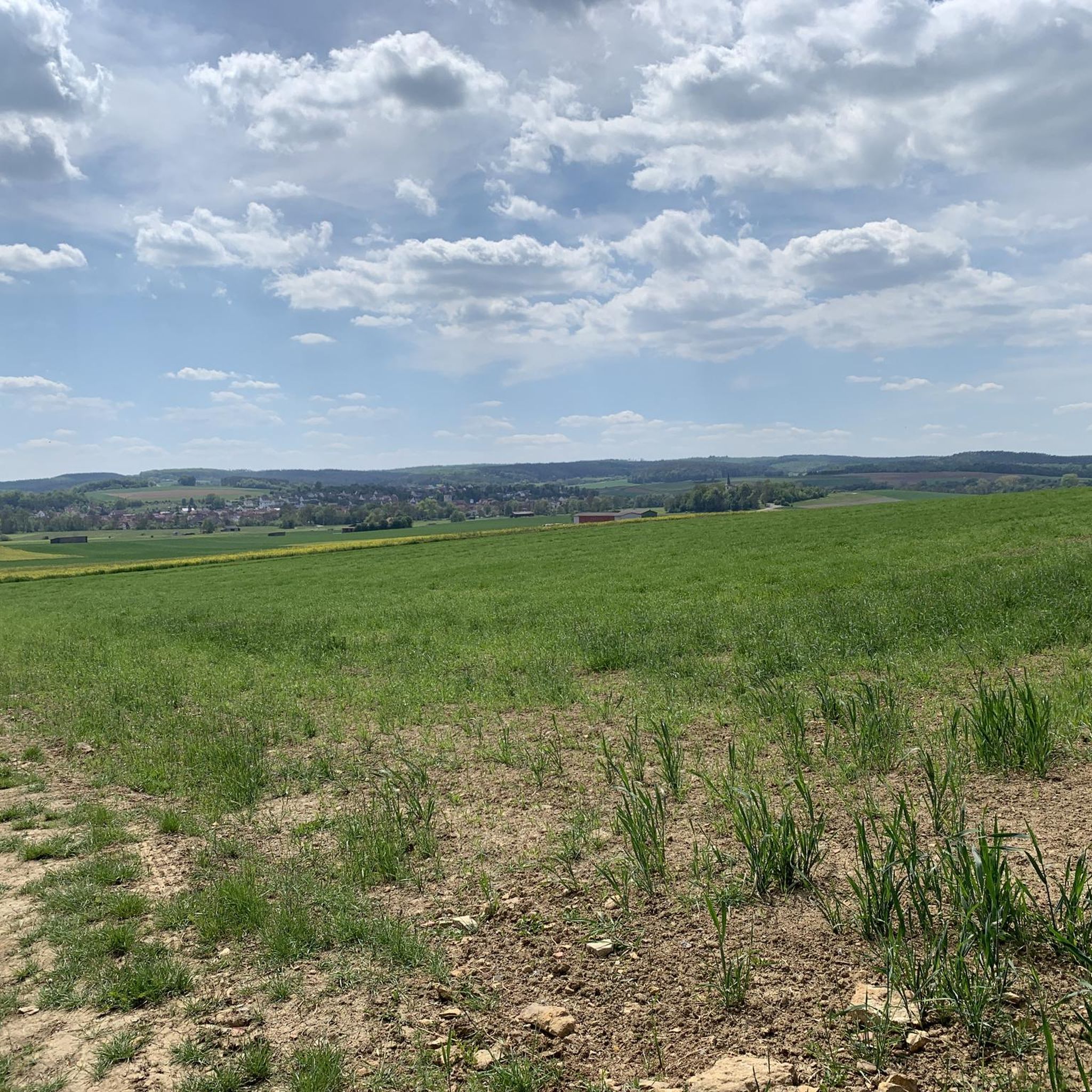
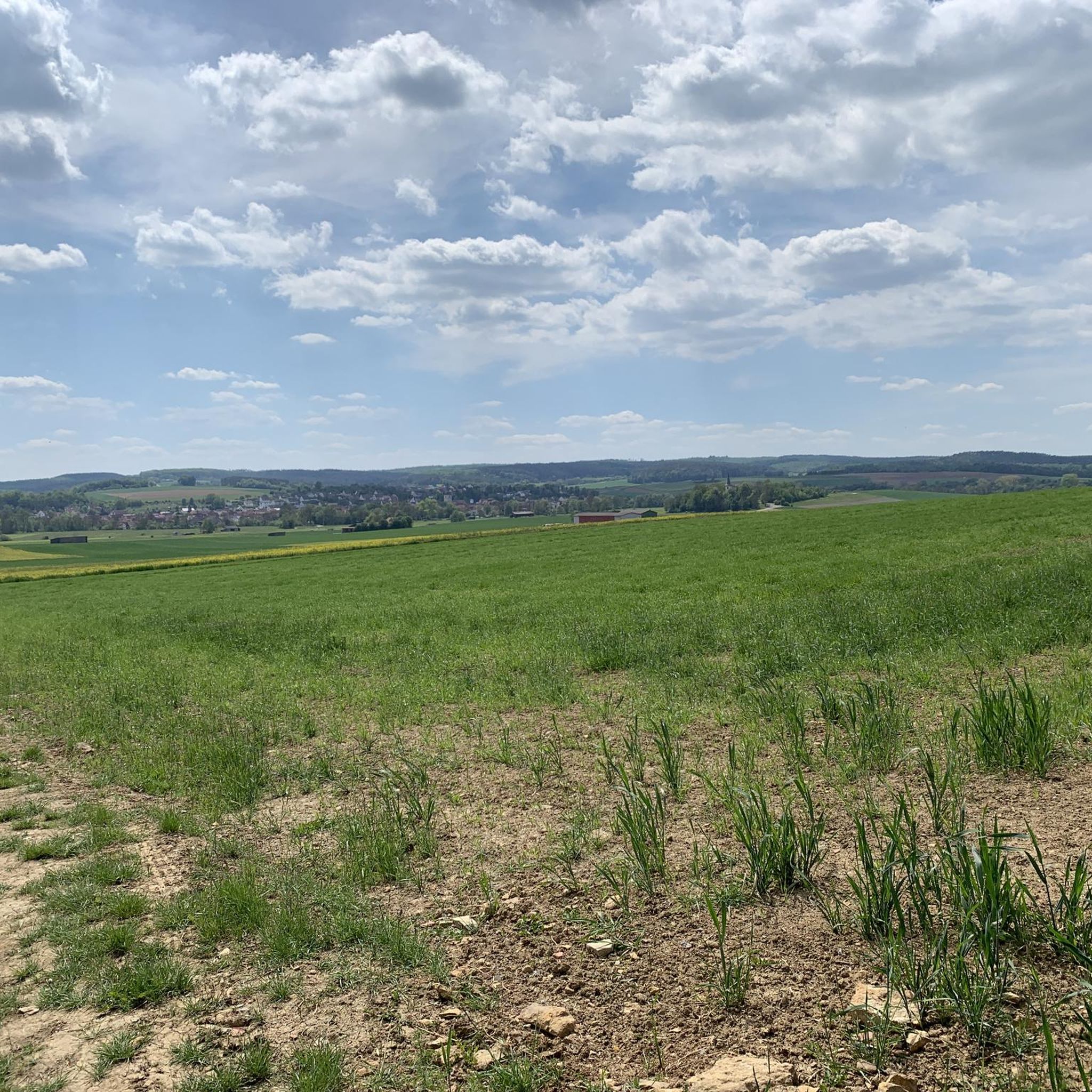
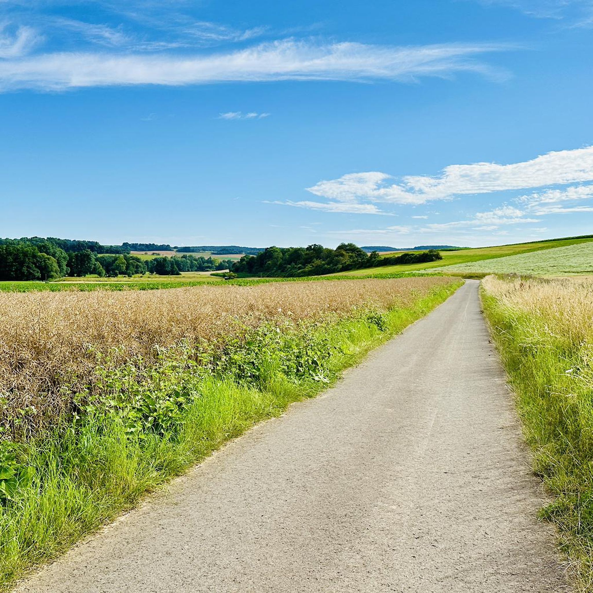
Tips from the Community

Nice place! Relax and perfect for mindfulness
1
0

This is craftsmanship.. Great stainless steel sculpture.. Above all rust-free
1
0

Due to its high brine content, the Karl-Theodor spring is only suitable for external use.
2
1

A few kilometers to the south, near the Heckenmühle near Obereßfeld, Sulzdorf municipality at the Lederhecke, the southern spring stream rises from the Salzloch. This source pours more heavily than the Saalbrunnen, is about 320 m above sea level. NHN and was also caught. The Saalegraben, which has its source there, also bears the name Dagigbach up to the confluence with the northern source stream. It runs through the village of Obereßfeld, where the Klausgrundgraben ends. Accompanied by the federal highway 279, the Saalegraben flows through Untereßfeld and this time joins the Heilbruchgraben from the right at the Lustmühle. Then it meets the northern source stream south-east of Bad Königshofen.[1] An information board was set up directly at the confluence. Source: https://dewiki.de/Lexikon/Fr%C3%A4nkische_Saale
20
1
The first source made of sandstone from the 1940s was redesigned in 1973 and received its representative appearance today in 1985. A bronze plaque by Erich Husemann from Trappstadt has been pointing out the importance of the Franconian Saale since 1987. The source stream flows in a southwesterly direction through Alsleben, where it joins the Fleusengraben and joins the left source stream north of Bad Königshofen-Untereßfeld. Source: https://dewiki.de/Lexikon/Fr%C3%A4nkische_Saale
19
2
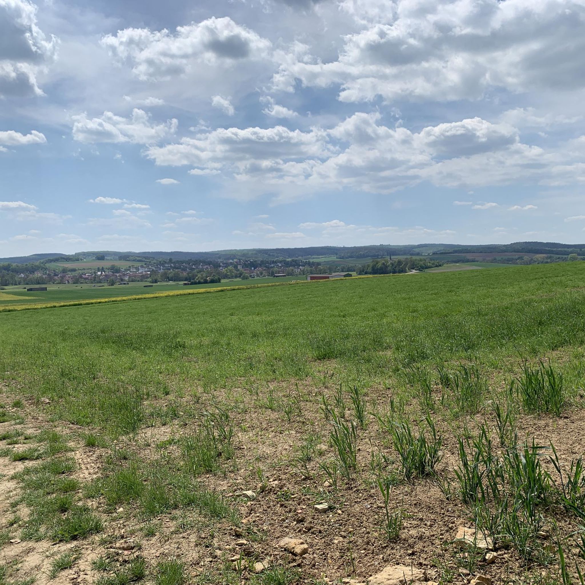
The Franconian Saale arises in the Grabfeld near the Haßberge, east and south-east of Bad Königshofen from two roughly equal, 3.9 km long source streams: Its right and northern source stream rises from the Saalbrunnen (not to be confused with the Saalbrunnen, which is also in Franconia), about 1.7 kilometers east of Alsleben, a district of Trappstadt. The source is located in an open field, less than 500 m from the border with Thuringia, a little off the NES 45 district road, which leads to Gompertshausen. At 313 m above sea level The young Franconian Saale rises there below the Kapellenberg (390 m above sea level). Source: https://dewiki.de/Lexikon/Fr%C3%A4nkische_Saale
21
2


Beautifully situated bathing lake. A path leads around the lake.
5
0
Frequently Asked Questions
What are the most prominent natural features to explore around Saal an der Saale?
The region around Saal an der Saale is characterized by its riverine landscape and elevated viewpoints. Key natural features include the scenic confluence of the Franconian Saale and Milz rivers, offering tranquil environments. Additionally, the Sulzfelder Lake provides a refreshing spot, and the Fränkische Saale at Bad Neustadt offers pleasant river views.
Where can I find the best panoramic views of the Grabfeld region?
For exceptional panoramic views, visit the Findelberg, which overlooks the Saale valley and offers expansive vistas over the Grabfeld landscape. Another spot providing a good view is near the 200-Year-Old Weeping Beech, from where you can see over the Saalewiesen towards Bad Neustadt.
Are there family-friendly natural monuments or sites suitable for children?
Yes, several natural sites are family-friendly. The Sulzfelder Lake is ideal for a family outing, offering a path around the lake and opportunities for cooling down on warm days. The 200-Year-Old Weeping Beech, with its widely branched limbs, is also a popular spot, though climbing is prohibited to protect the ancient tree. The Fränkische Saale at Bad Neustadt and the Sources of the Franconian Saale also offer accessible natural environments.
What kind of trees or unique flora can be found in the natural monuments around Saal an der Saale?
The region features unique trees like the 200-Year-Old Weeping Beech, an ancient natural monument with distinctive, ground-touching limbs. Along the river valleys, you'll find 'Galeriewälder' (gallery forests) composed of alder, ash, and willow trees, which are integral to the local landscape.
What outdoor activities can I do near the natural monuments in Saal an der Saale?
The riverine landscape and surrounding areas are excellent for various outdoor activities. You can enjoy gentle strolls along the banks of the Saale and Milz rivers. For more structured activities, there are numerous running and cycling routes. Explore options like the 'Strüthsee loop' for running or the 'Kleinbardorf Moated Castle' cycling route. You can find more details on these activities in the Running Trails around Saal an der Saale and Cycling around Saal an der Saale guides.
Are there any specific hiking trails that lead to or past these natural monuments?
While specific hiking trails directly to every natural monument aren't detailed, the area offers many paths suitable for walking and hiking. The path around Sulzfelder Lake is a pleasant option. The approach to Findelberg often involves a romantic path with a Way of the Cross, combining natural beauty with cultural elements. For more hiking opportunities, refer to the Running Trails around Saal an der Saale guide, as many running paths are also suitable for walking.
What makes the confluence of the Franconian Saale and Milz rivers significant?
The confluence of the Franconian Saale and Milz rivers is a unique geographical feature that defines Saal an der Saale's landscape. It creates a distinctive natural setting with scenic river views and tranquil environments, integral to the local ecosystem. This meeting point of two rivers shapes the local terrain and offers insights into the region's hydrological processes.
What do visitors particularly enjoy about the natural monuments in this region?
Visitors appreciate the serene and picturesque landscapes, especially the tranquil river valleys and the expansive views from elevated points like the Findelberg. The Sulzfelder Lake is highly rated for its refreshing waters and beautiful setting, while the 200-Year-Old Weeping Beech is admired for its ancient beauty and unique form. The community has shared over 120 photos and given more than 300 upvotes to these natural highlights.
Can I find any historical or cultural sites integrated with the natural monuments?
Yes, the Findelberg, while offering exceptional natural views, is also a significant pilgrimage site with the church 'Maria, Trösterin der Betrübten.' The path to Findelberg includes a romantic three-arched sandstone bridge and a Way of the Cross with sandstone stations, blending natural beauty with cultural heritage. Additionally, the Eagle and Snake Sculpture at Karl-Theodor Spring combines a man-made monument with a natural healing spring.
What is the best time of year to visit the natural monuments around Saal an der Saale?
The region's natural monuments can be enjoyed throughout the warmer months. Spring brings lush greenery and blooming flora, while summer is ideal for enjoying the Sulzfelder Lake and shaded riverbanks. Autumn offers beautiful foliage along the river valleys and panoramic viewpoints. The specific best time depends on your preferred activities, but generally, late spring to early autumn provides pleasant weather for outdoor exploration.
Are there opportunities for cycling near the natural monuments?
Yes, the area around Saal an der Saale is well-suited for cycling. You can find various routes, from easy tours like the 'Kleinbardorf Moated Castle' loop to more moderate options. These routes often pass by scenic river sections and offer views of the natural landscape. For detailed cycling routes, consult the Cycling around Saal an der Saale guide.
Most popular routes around Saal an der Saale
Most popular attractions around Saal an der Saale

Get inspired with the komoot mobile app


Explore more
Extend your search for the best caves by checking out these guides of the top ones around Saal an der Saale:
