The best running trails around Saal an der Saale
4.0
(165)
1,629
runners
33
runs
Jogging routes around Saal an der Saale traverse the picturesque Franconian Saale river valley, offering diverse terrain for runners. The region is characterized by the confluence of the Milz and Franconian Saale rivers, expansive Saale meadows, and the gentle slopes of the Grabfeld landscape. Runners can explore routes that pass by the Findelberg hill, providing panoramic views, or follow paths along the riverbanks. The area's natural features include floodplains, varied side valleys, and deciduous forests, creating a scenic backdrop for…
Last updated: May 21, 2026
3.0
(1)
38
runners
7.81km
00:51
130m
130m
Moderate run. Good fitness required. Mostly paved surfaces. Suitable for all skill levels.
1.0
(1)
26
runners
6.82km
00:42
20m
20m
Moderate run. Good fitness required. Mostly paved surfaces. Suitable for all skill levels.

Sign up for free
24
runners
Hard run. Very good fitness required. Mostly paved surfaces. Suitable for all skill levels.
8
runners
9.82km
01:03
70m
70m
Moderate run. Good fitness required. Mostly paved surfaces. Suitable for all skill levels.
9
runners
Moderate run. Good fitness required. Mostly paved surfaces. Suitable for all skill levels.
Get access to more routes and recommendations from other explorers.
Sign up for free
Already have an account?
Our route recommendations are based on thousands of hikes, rides, and runs completed by other people on komoot.
Start today with a free account
Your next adventure awaits.
Login or Signup
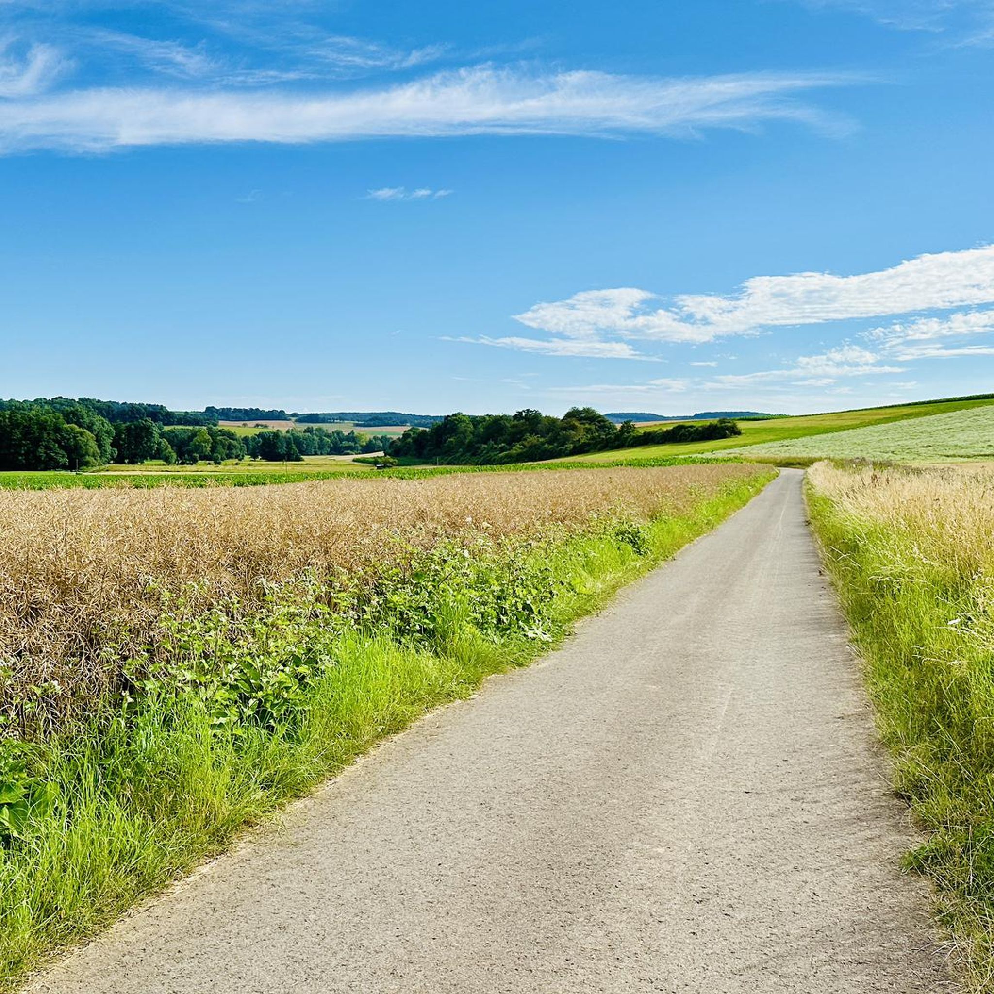
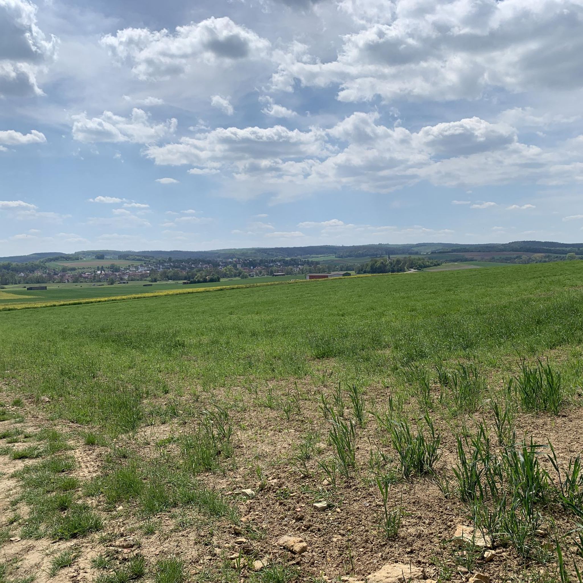
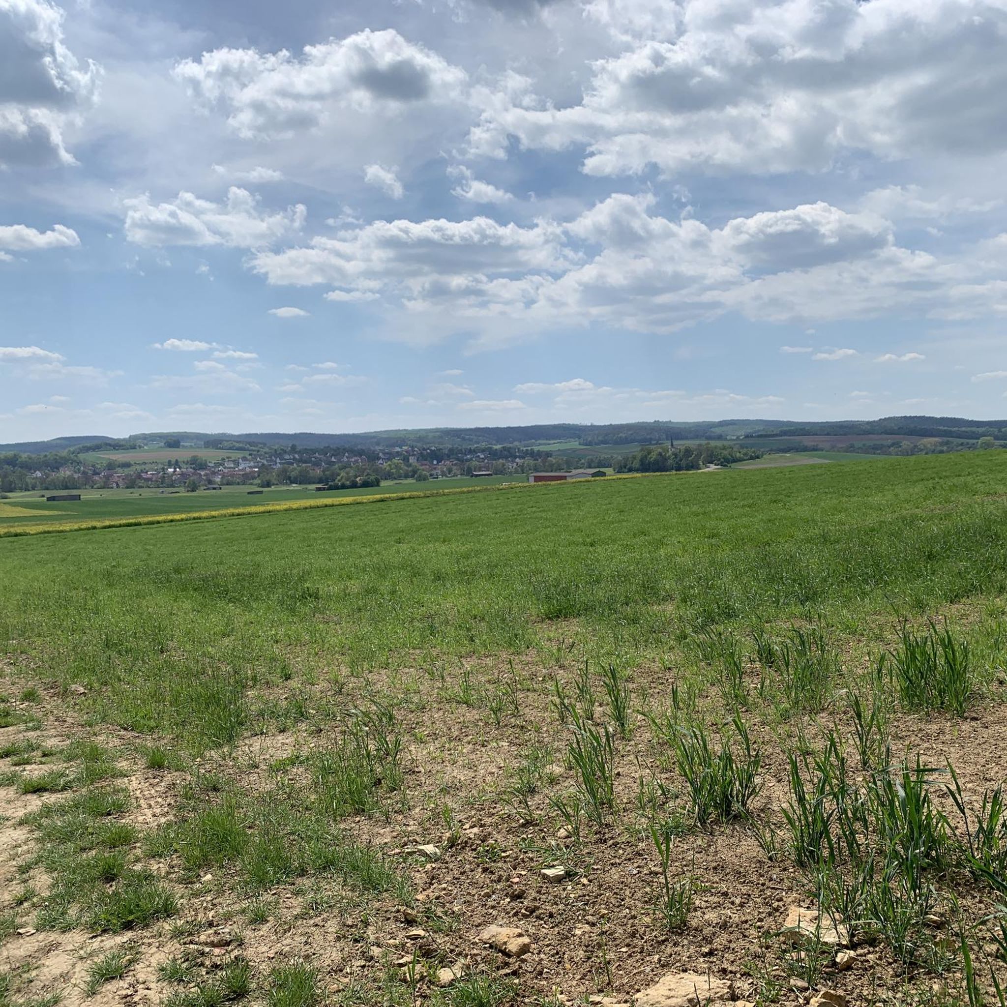
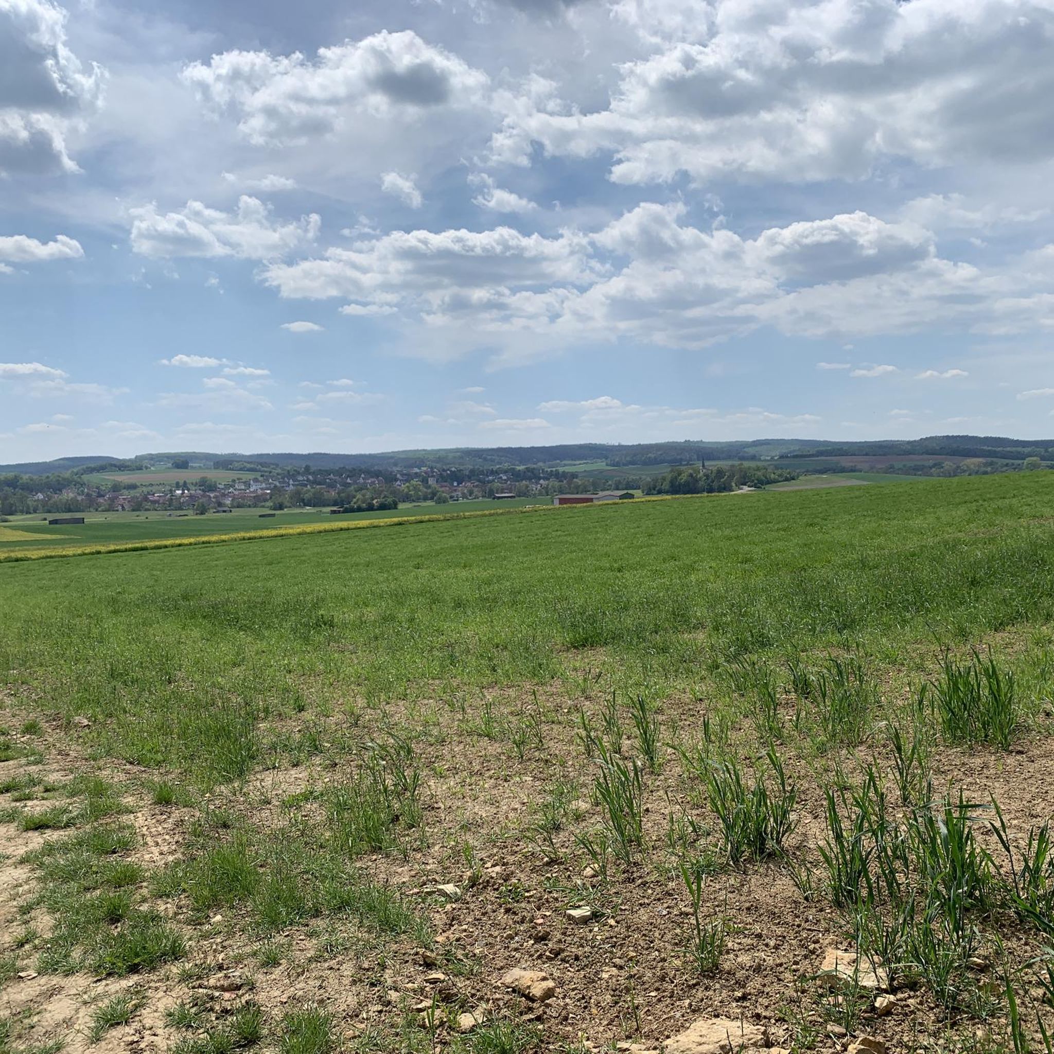
Tips from the Community

Very idyllic bridge, a few ducklings on the left and right, it's worth stopping by here.
2
0

A small bridge worth seeing and a beautiful spot.
2
0

decorated, worth seeing
0
0

This chapel was built to commemorate the 120 victims of the world wars. It is both a remembrance and a warning.
13
0
With a mega view of the Saale valley and the towns
0
0

With the gable side attached to the gate tower, two-story gable roof building with stepped gables, solid, plastered with corner blocks, post-Gothic, around 1600 and 19th century; Calvary cross, sandstone, marked “1852”, on the north wall
0
0
Three-bay, arched, quarry stone, 18th century, parapet renewed in 2001
0
0
old phone booth with books to borrow and an art object
1
0
Frequently Asked Questions
How many running routes are available in Saal an der Saale?
Saal an der Saale offers a good selection of running routes, with over 30 trails available for various ability levels. The majority are moderate, providing a balanced challenge for most runners.
What kind of terrain can I expect on the jogging paths in Saal an der Saale?
The running paths in Saal an der Saale traverse diverse terrain, including picturesque river valleys along the Franconian Saale, expansive meadows, and gentle hills of the Grabfeld landscape. You'll find a mix of natural paths and potentially some asphalt sections, offering varied surfaces for your run.
Are there any circular running routes in Saal an der Saale?
Yes, many of the running routes in Saal an der Saale are designed as loops, allowing you to start and finish in the same location. For example, the Strüthsee loop from Saal an der Saale is a popular choice, offering a scenic 4.8-mile (7.8 km) circular path.
What do other runners say about the trails in Saal an der Saale?
The running routes in Saal an der Saale are highly rated by the komoot community, with an average score of 4.1 stars from over 160 reviews. More than 1,800 runners have explored the area, often praising the scenic river views and varied terrain.
Are there family-friendly running routes in Saal an der Saale?
While specific 'family-friendly' routes aren't explicitly categorized, many of the moderate trails along the Saale river, with their relatively gentle elevation changes, can be suitable for families who enjoy running together. The nearby Beer Garden at Sulzfeld Bathing Lake offers a playground and beach volleyball court, making it a great spot for a post-run family cool-down.
What are some scenic points or attractions I can see while running in Saal an der Saale?
Jogging in Saal an der Saale offers views of the Franconian Saale river and the Grabfeld landscape. You might pass by the historic town center with its market square and half-timbered houses, or catch glimpses of the Findelberg hill, which hosts a pilgrimage church and offers panoramic vistas. The Beaver Dam on the Saale loop from Saal an der Saale (VGem) is a great option for river views.
Are there any running routes that pass by historical landmarks?
Yes, some routes may take you near historical points of interest. The historic town center of Saal an der Saale itself, with its market square and town hall, provides a charming backdrop. Additionally, the nearby Ruins of Salzburg Castle are a notable landmark in the broader region that could be incorporated into a longer exploration.
Are there running routes with good parking options in Saal an der Saale?
While specific parking details for each route are not provided, Saal an der Saale is generally accessible. Many routes likely start from central points in the town or near popular attractions where parking is available. It's advisable to check local parking information for your chosen starting point.
Can I reach the running trails using public transport?
Saal an der Saale is a well-connected town within the Grabfeld region. While specific public transport stops for each trail are not detailed, the town itself is served by local transport, making it possible to reach central starting points for many running routes. For detailed schedules, local public transport information should be consulted.
What is the best time of year for running in Saal an der Saale?
The Saale valley and Grabfeld landscape offer beautiful scenery throughout the year. Spring and autumn provide pleasant temperatures and vibrant natural colors, ideal for running. Summer can be enjoyable, especially along the river, but it's always wise to check weather conditions. Winter running is also possible, though paths might be affected by snow or ice.
Are there any longer running routes for experienced runners?
Yes, for those seeking a longer challenge, routes like the Beaver Dam on the Saale – Village Archway loop from Saal an der Saale cover approximately 8.4 miles (13.5 km) and lead through riverine landscapes and local villages, offering a more extended running experience.
Are there any running routes that offer significant elevation changes?
While many routes in Saal an der Saale feature gentle slopes, some do offer more noticeable elevation. For instance, the Gravel hill loop from Saal an der Saale includes an elevation gain of approximately 147 meters, providing a good workout for those looking for more uphill sections.
Most popular routes around Saal an der Saale
Most popular attractions around Saal an der Saale

Get inspired with the komoot mobile app


Explore more
Browse the best Running Trails & Routes in other regions.
