Top 3 Mountain Passes around Sternenfels
Best mountain passes around Sternenfels are found near Steingaden, a village in the Bavarian Alps. This region serves as a gateway to alpine landscapes and is situated along renowned scenic routes like the German Alpine Road and the historic Via Claudia Augusta. The area offers opportunities for exploring elevated areas and scenic drives, providing diverse perspectives of the surrounding mountains. Many hiking trails also traverse elevated terrain, offering mountain views and smaller, unnamed passes for hikers.
Best mountain passes around…
Last updated: June 24, 2026
Bäckenalm Saddle
Highlight • Mountain Pass
Translated by Google •
Tip by

Watershed in the Ammergebirge Nature Reserve
Highlight • Mountain Pass
Translated by Google •
Tip by

Sign up now to discover places like this
Get recommendations on the best single tracks, peaks, & plenty of other exciting outdoor places.
Sign up for free
View of Geiselstein
Highlight • Viewpoint
Translated by Google •
Tip by

Lusse Pass
Highlight (Segment) • Mountain Pass
Translated by Google •
Tip by

Start today with a free account
Your next adventure awaits.
Login or Signup
Popular around Steingaden

Triathlon 360 – my journey around the world
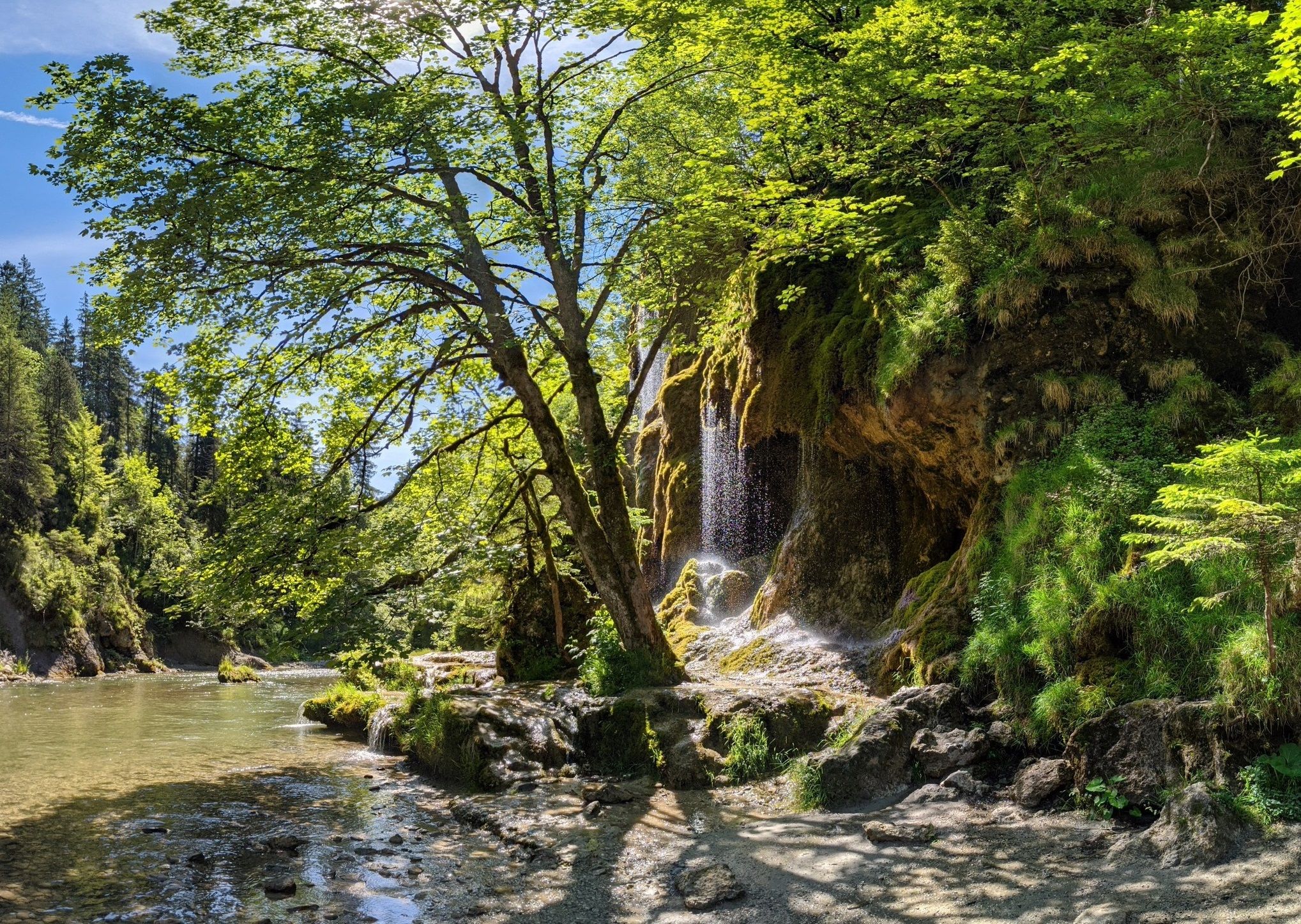
Ammergau Alps meditation path in Bavaria – Breathe in, breathe out
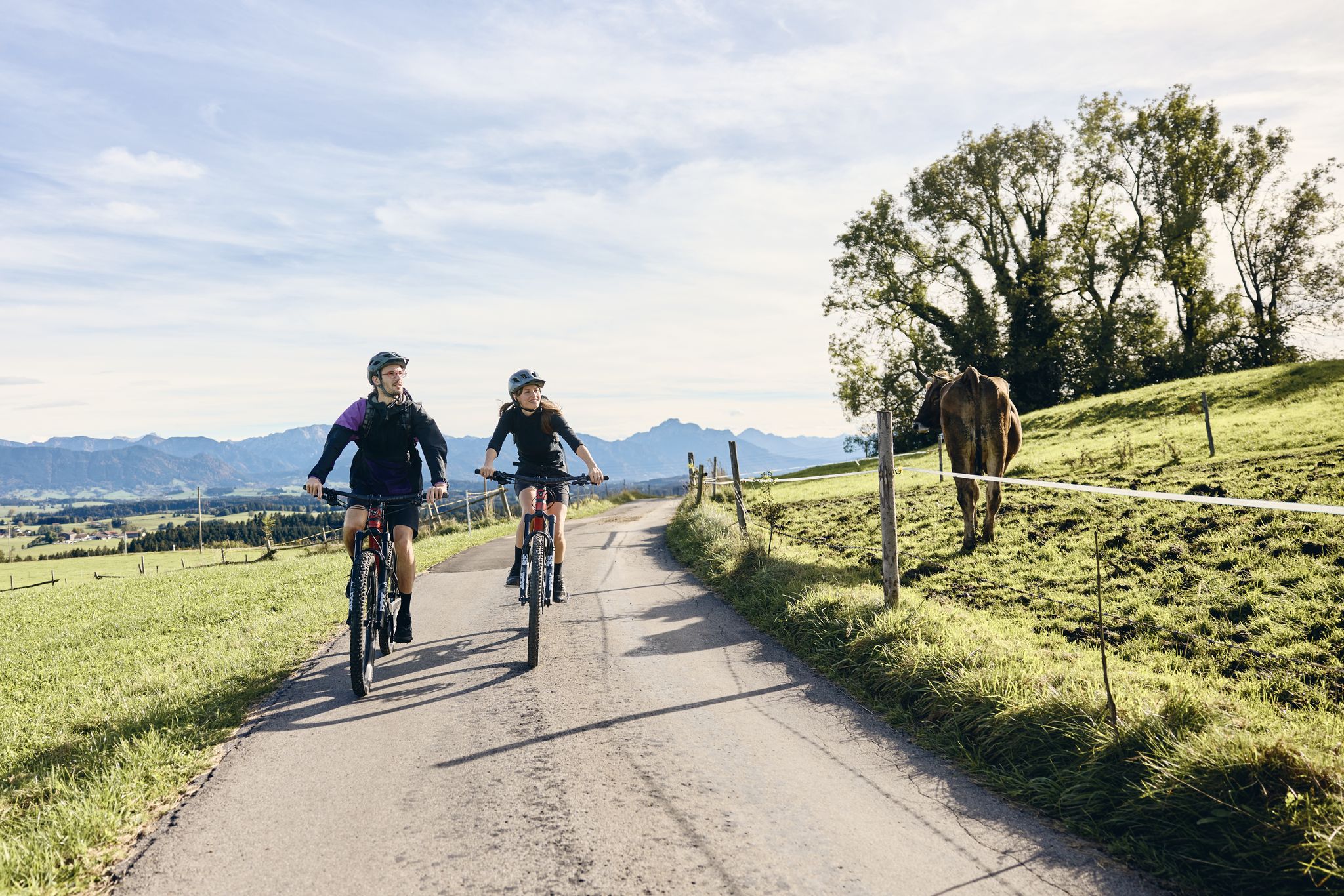
Land of the Moors – cycling between alpine views and wetland paths
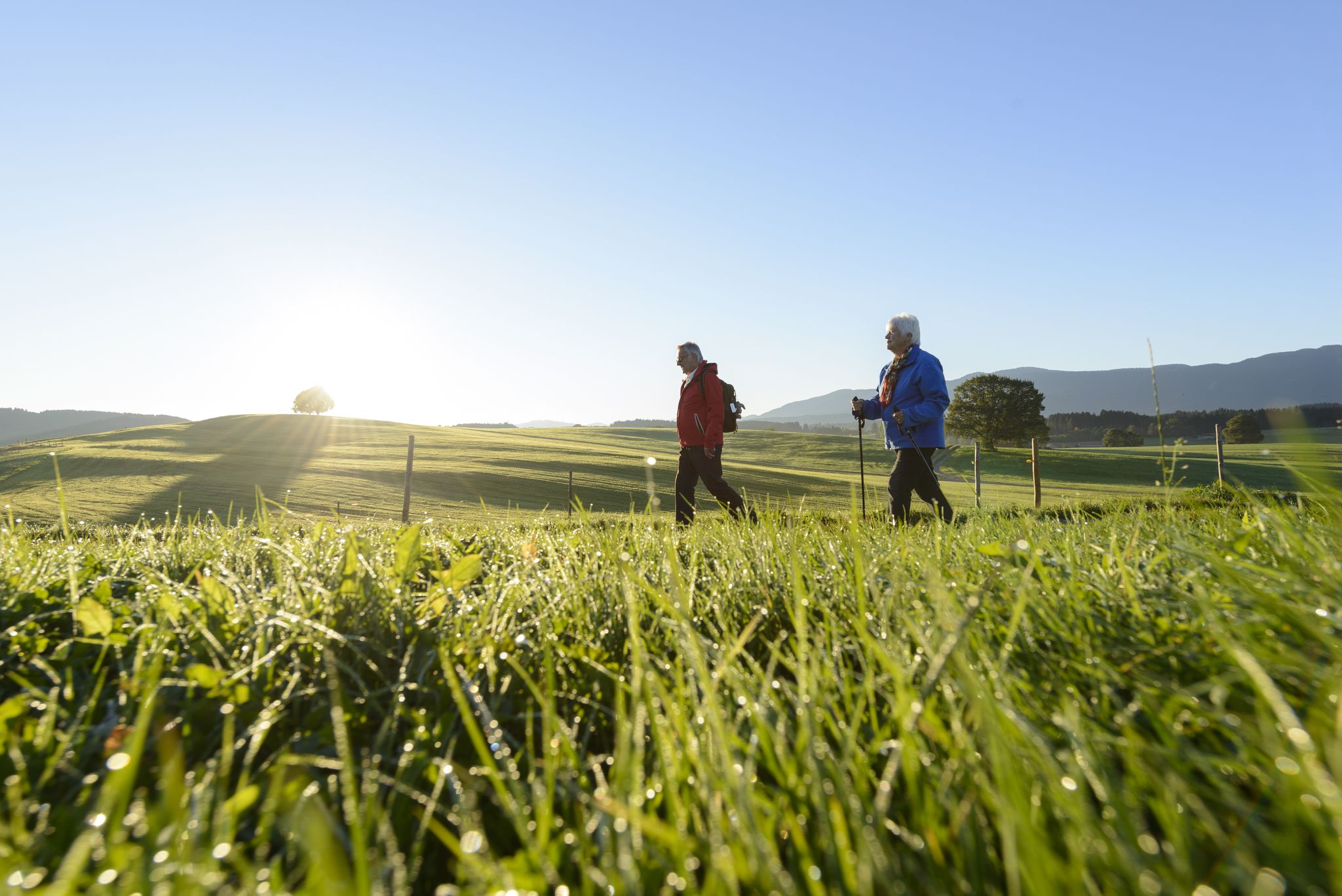
Sacred Landscape Pfaffenwinkel
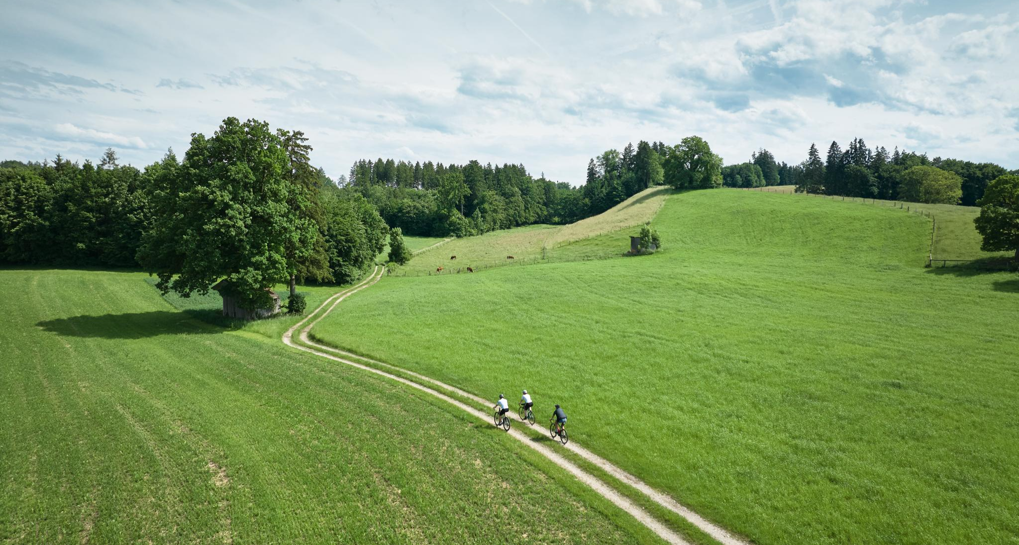
Nature and pure gravel – gravel biking in Pfaffenwinkel
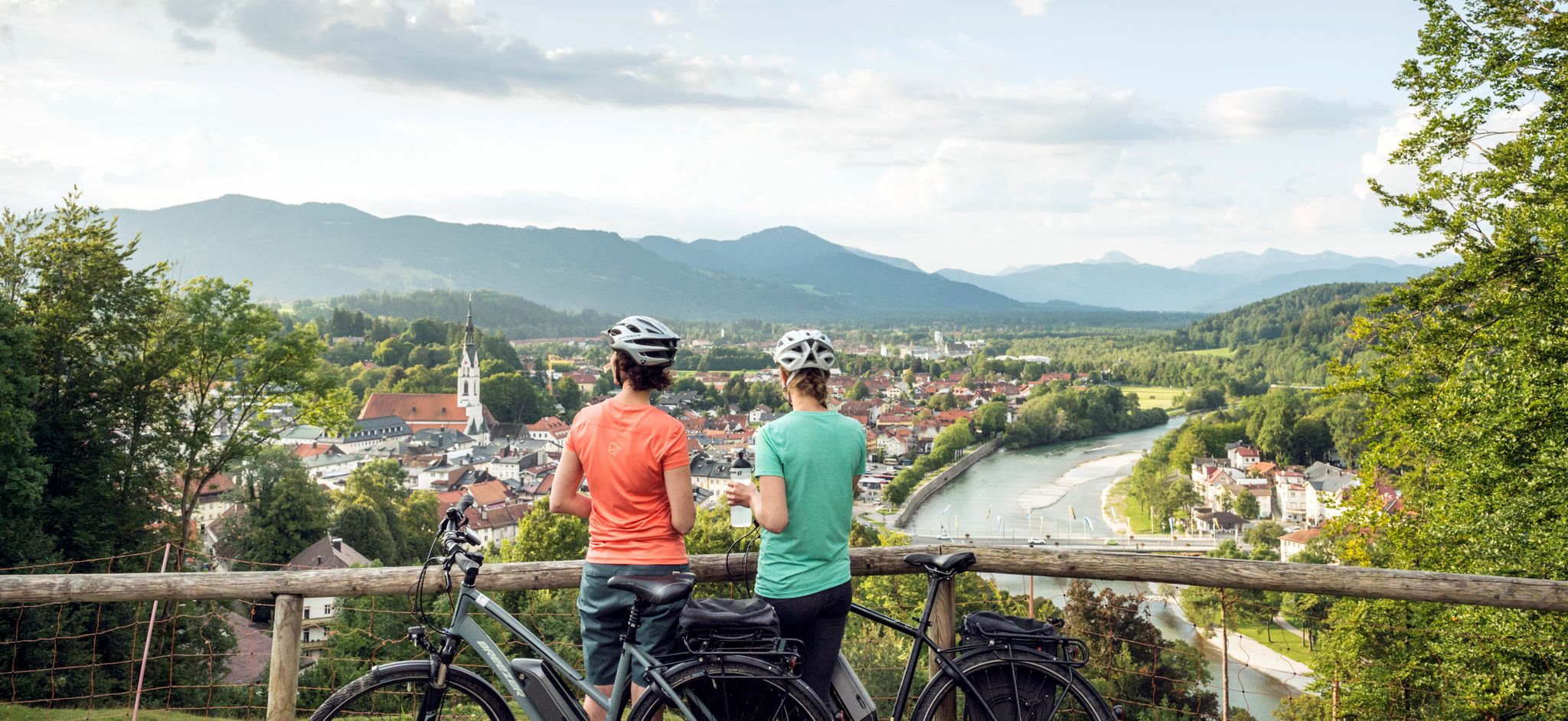
The Art Loop — Wasser-Radlwege Oberbayern
On the Auerbergland@Venture Route in 3 stages through the foothills of the Alps
Raus in die Natur: Wandern & Campen in Bayerns schönsten Naturregionen
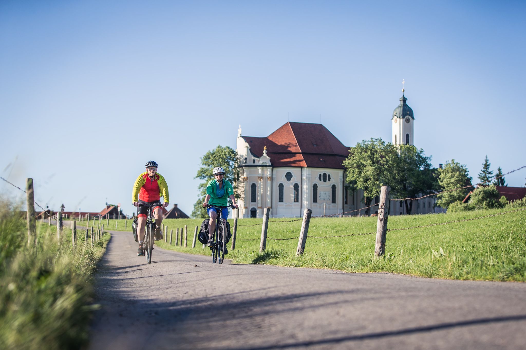
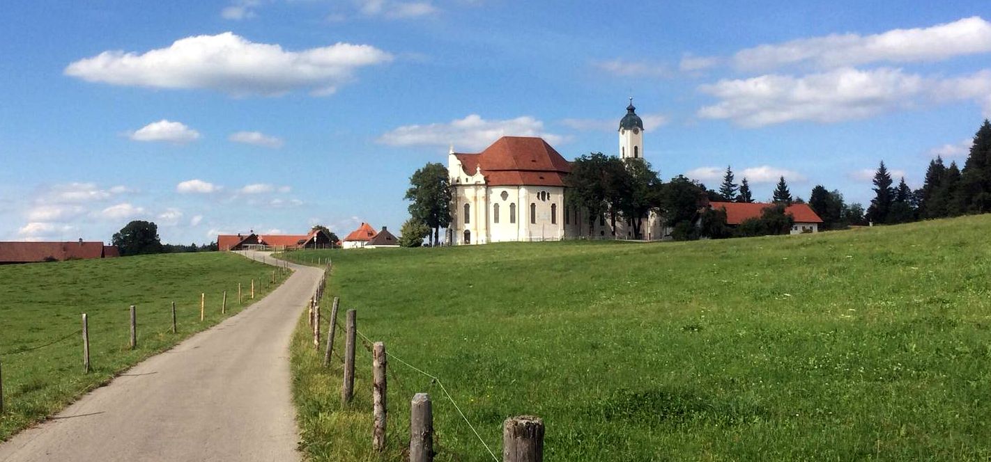
Radpilgern durch den Pfaffenwinkel
Hiking around Sternenfels
Other adventures around Sternenfels


Tips from the Community

A pleasant alpine saddle with open meadows and great views toward the Brunnenkopf. A natural resting spot and good orientation point on this loop route.
0
0


The term “pass” is probably a bit exaggerated here 😂.
0
0

Beautiful pass between Oberammergau and the Kenzenhütte
0
1

Several hiking trails cross on the Bäckenalmsattel. In wet weather it is quite slippery up here.
3
1

Wasserscheid in the Ammer Mountains, either east towards Lech or west towards the Isar
0
0

Wankerfleck and Geiselstein - very nice but popular on weekends.
0
0
The first picture is the view to the Wankerfleck Geiselstein would then be right over it. The path to the Kenzen is very popular with cyclists ... me too :-)
0
0
Frequently Asked Questions
What kind of mountain passes can I expect to find around Steingaden?
Steingaden serves as a gateway to diverse elevated terrain. You'll find scenic drives along renowned routes like the German Alpine Road, historical paths such as the Via Claudia Augusta with smaller elevated sections, and numerous hiking trails that traverse mountainous landscapes, offering "pass-like" perspectives and stunning views of the Bavarian Alps.
Are there any specific viewpoints or scenic spots among the mountain passes?
Yes, a highly recommended spot is View of Geiselstein, which offers incredible panoramic views of Hochplatte, Geiselstein, and other peaks. Another significant natural feature is the Watershed in the Ammergebirge Nature Reserve, a geologically interesting area where water flows to different regions.
What are some notable hiking trails that cross mountain passes in the area?
The Bäckenalm Saddle is a key mountain pass where several hiking trails converge, providing a trail crossing between Graswangtal, Klammspitze, and Kenzenhütte. The region also offers various alpine trails with varying levels of difficulty, many of which provide elevated viewpoints.
Are there family-friendly options for exploring the mountain passes near Steingaden?
While specific "family-friendly" categorizations for passes aren't always explicit, many hiking trails around Steingaden offer varied terrain suitable for families. For instance, the "Brettleweg" to the Wieskirche is a highly recommended scenic trail. For more options, you can explore the hiking guide for Steingaden, which includes routes like the easy "Oberer Lindegger Lake – Wies Chapel loop".
What outdoor activities can I do near these mountain passes?
The area around Steingaden offers a variety of outdoor activities. You can find numerous hiking trails, including moderate options like the "Eulenweiher – Wies Chapel loop." For cyclists, there are routes such as "Cycling around the Wiesfilz – Land of the Moors." Runners can enjoy trails like the "Bretleweg Wooden Pathway loop from Wieskirche." For more detailed routes, check out the hiking, cycling, and running guides for the region.
What is the best time to visit the mountain passes around Steingaden?
The region is beautiful throughout the warmer months, generally from late spring to early autumn, when hiking trails are clear and scenic drives are most enjoyable. During winter, some higher elevation trails might be covered in snow, but specific winter hiking trails may be available. Always check local weather conditions before your visit.
Are there any historical routes or sites related to mountain passes in the area?
Yes, Steingaden is part of the broader region influenced by the ancient Roman road, the Via Claudia Augusta. This historic route, established in the 1st century, features rural roads and smaller elevated sections, offering a blend of historical significance and natural beauty. It passes through charming areas and highlights the region's historical connections.
What are the difficulty levels of the mountain pass routes?
The difficulty varies significantly. Scenic drives like parts of the German Alpine Road are generally accessible by car. Hiking trails range from easy, such as the "Alpenpanorama loop from Steingaden," to moderate and more challenging alpine trails. For specific hiking routes, you can find difficulty grades in the hiking guide.
Can I find places to eat or rest near the mountain passes?
Yes, for example, the Lusse Pass is home to an inn that serves as a good resting point. Along the German Alpine Road and in nearby towns like Oberammergau and Garmisch-Partenkirchen, you'll find various facilities, including cafes and restaurants.
What do visitors enjoy most about the mountain passes and elevated areas near Steingaden?
Visitors particularly appreciate the incredible panoramic views, such as those from the View of Geiselstein. The diverse hiking opportunities, the natural beauty of areas like the Ammergebirge Nature Reserve, and the sense of traversing mountainous terrain on scenic drives are also highly valued experiences.
Are there any circular walks available around the mountain passes?
Yes, the region offers several circular walks. For instance, the "Bretleweg Wooden Pathway loop from Wieskirche" is a popular running and hiking option. You can find more circular routes with varying distances and difficulties in the hiking guide for Steingaden.
Most popular routes around Sternenfels
Most popular attractions around Sternenfels

Get inspired with the komoot mobile app


Explore more
See even more epic mountain passes by checking out these guides around Sternenfels:
