The best mountain hikes around Sternenfels
4.7
(61)
608
hikers
25
hikes
Mountaineering routes around Sternenfels are situated in the Allgäu region of Bavaria, offering diverse terrain for outdoor enthusiasts. The area features alpine foothills and mountains, including peaks like Hochschergen (1395 m) and Hinteres Hörnle (1548 m) in the Ammergau Alps. Beyond the prominent peaks, the landscape includes lush hills and extensive forests, providing varied environments for mountaineering. This region is characterized by its blend of mountain ascents and forested paths, suitable for different skill levels.
Best mountaineering routes around Sternenfels
…Last updated: May 20, 2026
4.1
(8)
54
hikers
Hard mountaineering route. Very good fitness required. Mostly accessible paths. Sure-footedness required.
4.6
(5)
37
hikers
11.5km
04:13
660m
660m
Moderate mountaineering route. Good fitness required. Mostly accessible paths. Sure-footedness required.

Sign up for free
5.0
(2)
25
hikers
12.1km
04:31
700m
700m
Moderate mountaineering route. Good fitness required. Mostly accessible paths. Sure-footedness required.
4.2
(6)
24
hikers
11.3km
04:02
540m
540m
Moderate mountaineering route. Good fitness required. Mostly accessible paths. Sure-footedness required.
5.0
(1)
23
hikers
9.39km
03:50
650m
650m
Moderate mountaineering route. Good fitness required. Mostly accessible paths. Sure-footedness required.
Get access to more routes and recommendations from other explorers.
Sign up for free
Already have an account?
Our route recommendations are based on thousands of hikes, rides, and runs completed by other people on komoot.
Start today with a free account
Your next adventure awaits.
Login or Signup
Popular around Steingaden
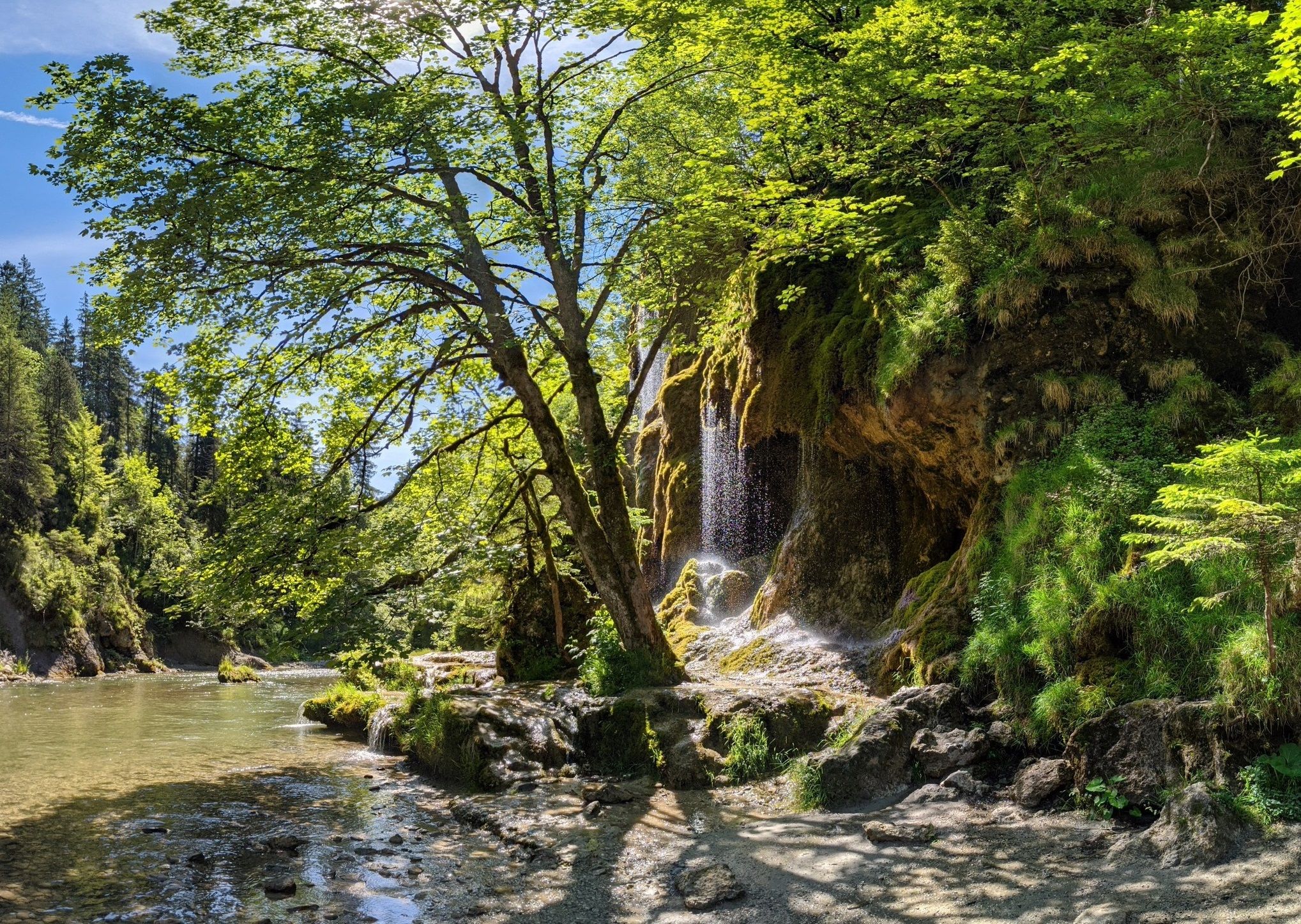
Ammergau Alps meditation path in Bavaria – Breathe in, breathe out
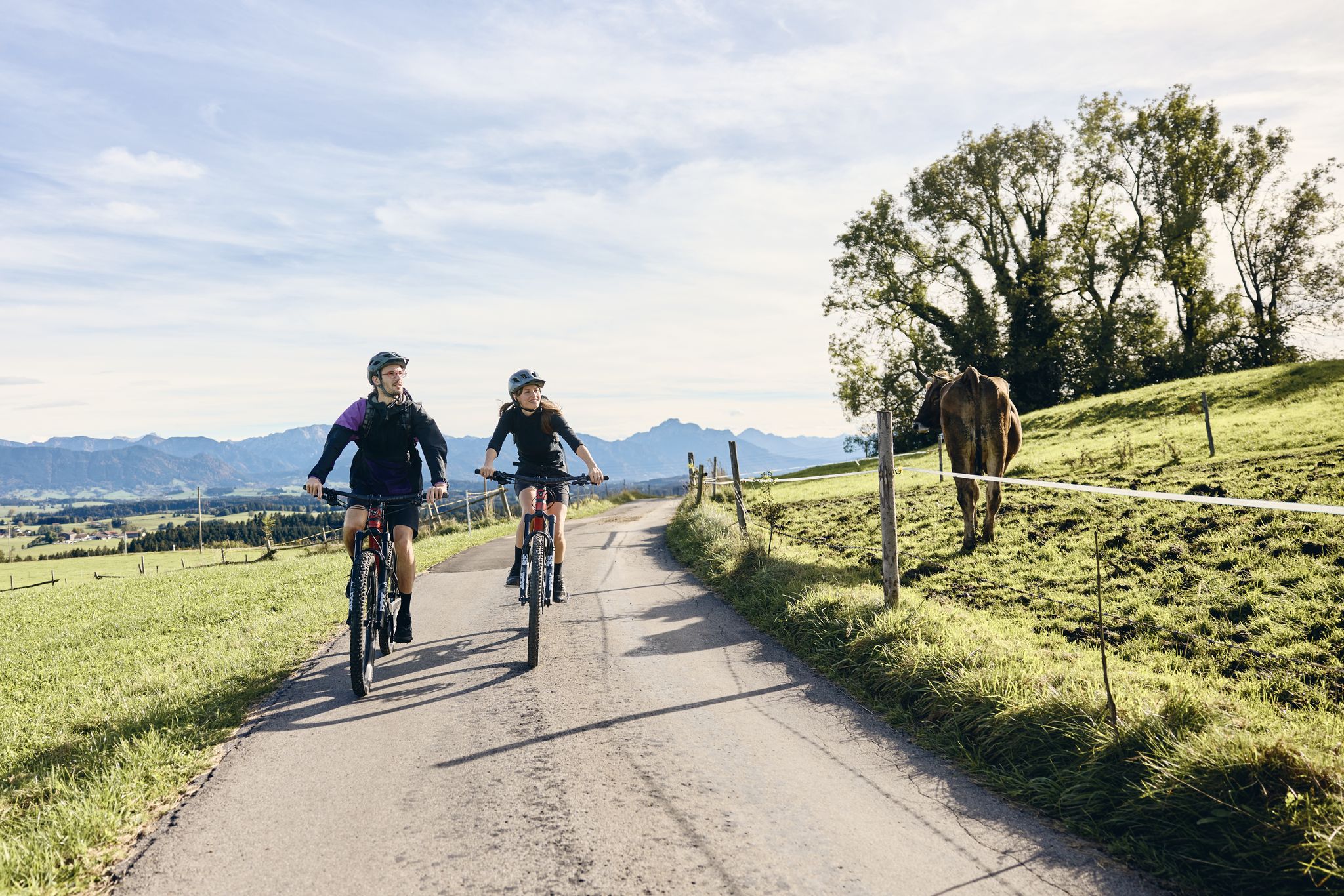
Land of the Moors – cycling between alpine views and wetland paths
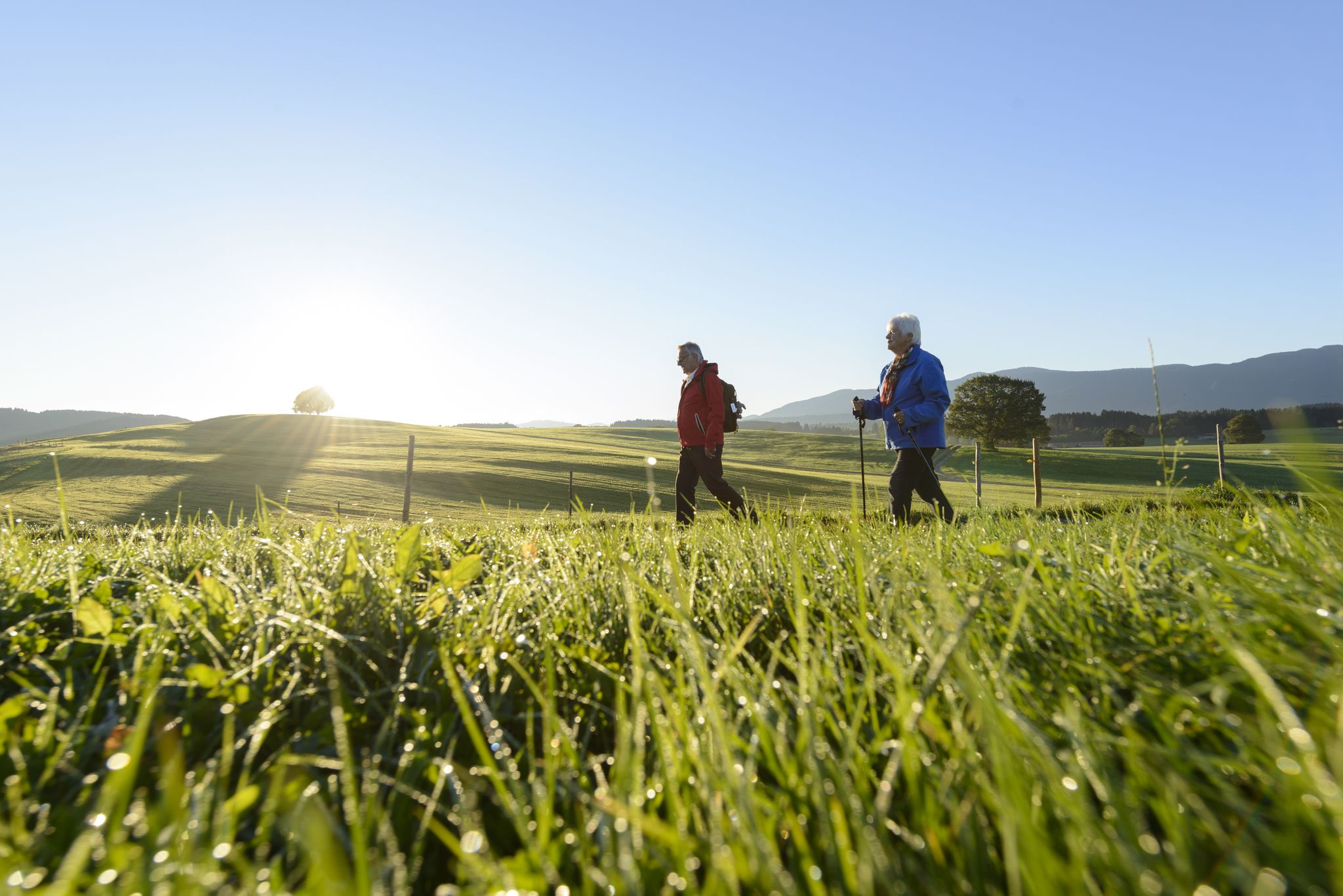
Sacred Landscape Pfaffenwinkel
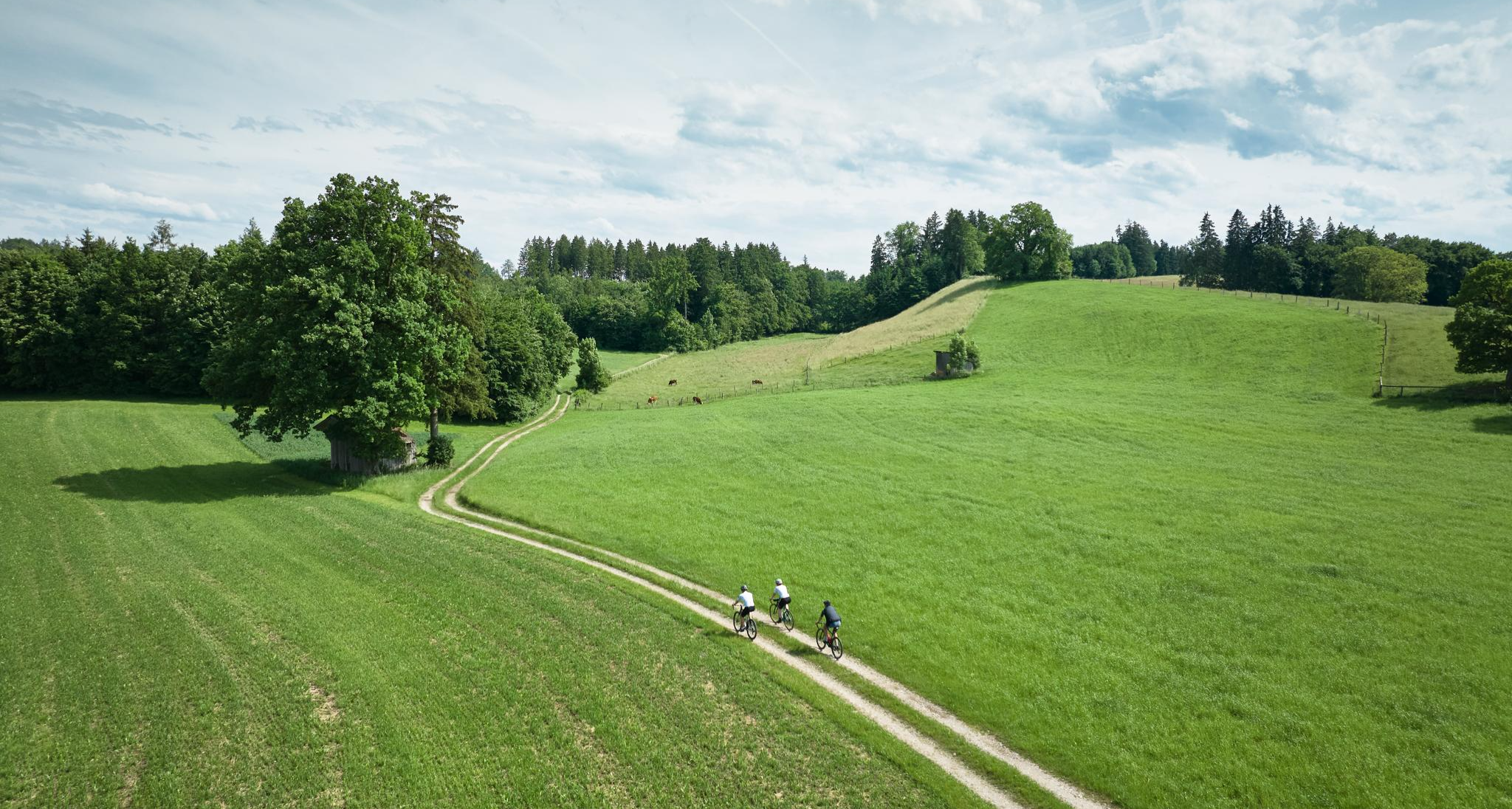
Nature and pure gravel – gravel biking in Pfaffenwinkel

Triathlon 360 – my journey around the world
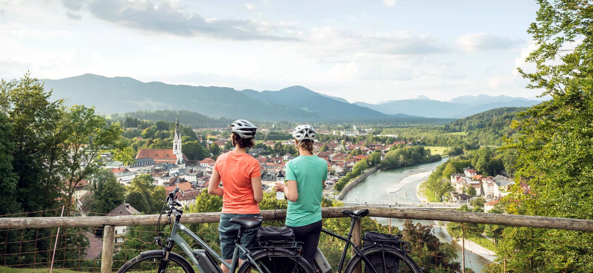
The Art Loop — Wasser-Radlwege Oberbayern
On the Auerbergland@Venture Route in 3 stages through the foothills of the Alps
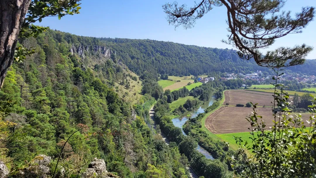
Raus in die Natur: Wandern & Campen in Bayerns schönsten Naturregionen
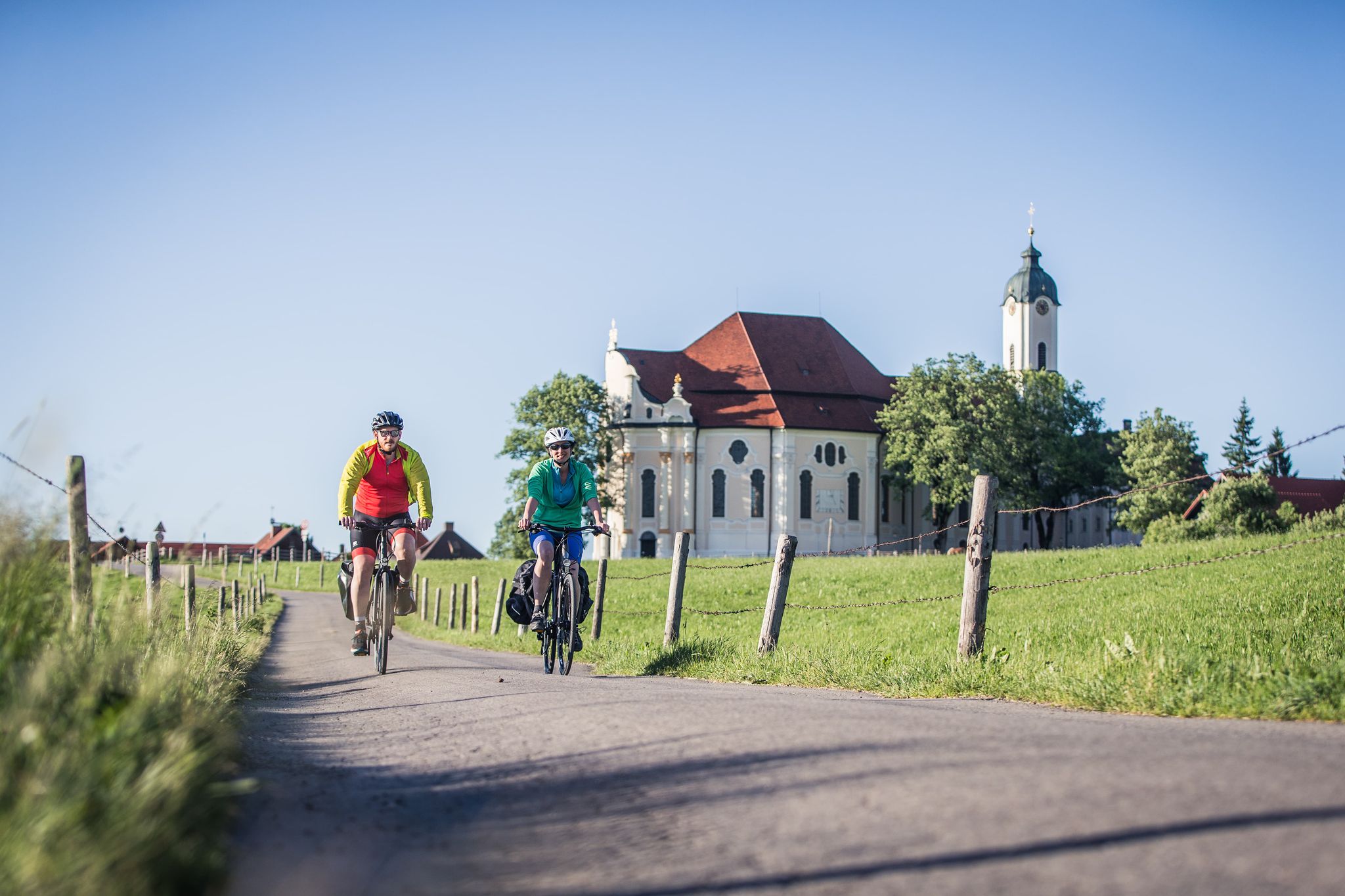
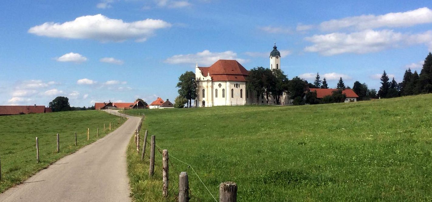
Radpilgern durch den Pfaffenwinkel
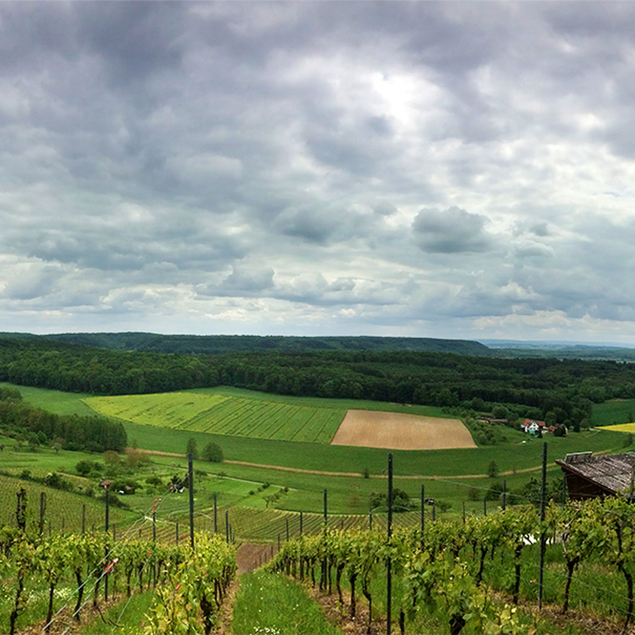
Hiking around Sternenfels
Other adventures around Sternenfels


Tips from the Community

Halblech hiking car park
0
0


Beautiful pass between Oberammergau and the Kenzenhütte
0
1

A little east of the summit cross on the Hochschergen Plateau there is another nice rest area with seating, a fireplace and a wonderful view
1
0

Transition over the half sheet
1
0
Frequently Asked Questions
What is the general difficulty level of mountaineering routes around Steingaden?
The mountaineering routes in Steingaden offer a range of challenges. While there is 1 easy route, the majority are moderate (20 routes) or difficult (7 routes), providing options for various skill levels. You'll find everything from demanding alpine ascents to more accessible paths through forested slopes.
What kind of terrain can I expect on mountaineering routes in Steingaden?
The terrain around Steingaden is diverse, characterized by alpine foothills, peaks of the Ammergau Alps, and extensive forests. You can expect paths leading through lush hills, dense woodlands, and open mountain landscapes, with significant elevation changes on many routes. Peaks like Hochschergen (1395 m) and Hinteres Hörnle (1548 m) offer true mountain experiences.
Are there family-friendly mountaineering routes in Steingaden?
While many routes are moderate to difficult, there is 1 easy mountaineering route available, which might be suitable for families with some hiking experience. The region also offers numerous trails through lush hills and forests that are generally less demanding than the high alpine routes, providing gentler options for families to explore the beautiful Bavarian landscape.
Can I bring my dog on the mountaineering trails in Steingaden?
Generally, dogs are welcome on hiking and mountaineering trails in the Steingaden region. However, it's always recommended to keep your dog on a leash, especially in nature reserves, near livestock, or in areas with wildlife. Please ensure your dog is well-behaved and capable of handling the terrain and duration of your chosen route.
Are there circular mountaineering routes available around Steingaden?
Yes, many of the mountaineering routes in Steingaden are designed as loops, allowing you to start and end at the same point. For example, you could try the Summit Cross on Wolfskopf – Bruckköpfel loop from Trauchgau or the Summit Cross on Hochschergen loop from Unternogg for a rewarding circular experience.
What scenic viewpoints or landmarks can I find on these routes?
The Steingaden region is rich in scenic beauty and cultural landmarks. Beyond the mountain vistas from peaks like Hochschergen, you can find stunning views of Lake Forggensee, Lake Lech, and the Allgäu Mountains. Don't miss the UNESCO World Heritage site of the Wieskirche, a magnificent example of Rococo Baroque art, or the ancient Abbey Church of Steingaden. Nearby, iconic sites like Neuschwanstein Castle and Linderhof Palace also offer cultural enrichment.
Are there any waterfalls to see near the mountaineering routes?
Yes, the region around Steingaden features beautiful natural attractions, including waterfalls. You can explore the Schleierfälle — Waterfalls on the Ammer River, which are part of the picturesque Schleifmühl Gorge. These offer a refreshing sight and a chance to experience the region's natural beauty.
What is the best time of year for mountaineering in Steingaden?
The best time for mountaineering in Steingaden is typically from late spring through early autumn (May to October). During these months, the weather is generally more stable, trails are clear of snow, and temperatures are pleasant. Autumn offers particularly stunning views with vibrant foliage. Winter mountaineering is possible but requires specialized equipment and experience due to snow and ice conditions.
Are permits required for mountaineering in Steingaden?
For general mountaineering and hiking on marked trails in the Steingaden region, permits are typically not required. However, always respect local regulations, especially if you venture into protected areas or nature reserves. There are no specific permits mentioned for the routes listed in this guide.
What do other mountaineers enjoy most about the routes in Steingaden?
The mountaineering routes in Steingaden are highly rated by the komoot community, with an average score of 4.6 stars from over 70 reviews. Mountaineers often praise the diverse terrain, which includes challenging alpine sections and serene forested paths. The stunning views of the Ammergau Alps and the well-maintained trails are frequently highlighted as key attractions.
Can I find accommodation or places to eat near the mountaineering trails?
Steingaden, being a charming village along the Romantic Road, offers various options for accommodation, cafes, and pubs. You'll find guesthouses, hotels, and restaurants in the village itself and in nearby towns like Halblech and Trauchgau, which serve as starting points for many routes. These establishments provide opportunities to refuel and relax after your mountaineering adventures.
How can I reach the trailheads using public transport?
While specific public transport details for every trailhead can vary, Steingaden and surrounding villages are generally accessible by regional bus services. These services often connect to larger train stations in the area. It's advisable to check local bus schedules in advance, especially for routes starting in smaller hamlets like Unternogg, to plan your journey effectively.
Most popular routes around Sternenfels
Most popular attractions around Sternenfels

Get inspired with the komoot mobile app


Explore more
Browse the best Mountain Hikes & Routes in other regions.
