Bandelier National Monument
Bandelier National Monument
Top 10 Natural Monuments in Bandelier National Monument
Best natural monuments in Bandelier National Monument are shaped by volcanic geology and diverse ecosystems. The monument is situated on the Pajarito Plateau, featuring canyons, mesas, and significant elevation changes from the Rio Grande to over 10,000 feet at Cerro Grande. This landscape preserves ancient cultural heritage, with Ancestral Puebloan dwellings carved into soft volcanic tuff. The area offers a range of natural features and geological formations for exploration.
Best natural monuments in Bandelier National Monument
- The most popular natural…
Last updated: July 6, 2026
Bandelier National Monument
Highlight • Natural Monument
Tip by

Alcove House
Highlight • Cave
Tip by

Sign up now to discover places like this
Get recommendations on the best single tracks, peaks, & plenty of other exciting outdoor places.
Sign up for free
Cavates
Highlight • Cave
Tip by

Petroglyphs
Highlight • Historical Site
Tip by
Frijoles Falls
Highlight • Waterfall
Tip by

Sign up for free to discover even more natural monuments in Bandelier National Monument.
Sign up for free
Already have an account?
Start today with a free account
Your next adventure awaits.
Login or Signup
Popular around Bandelier National Monument

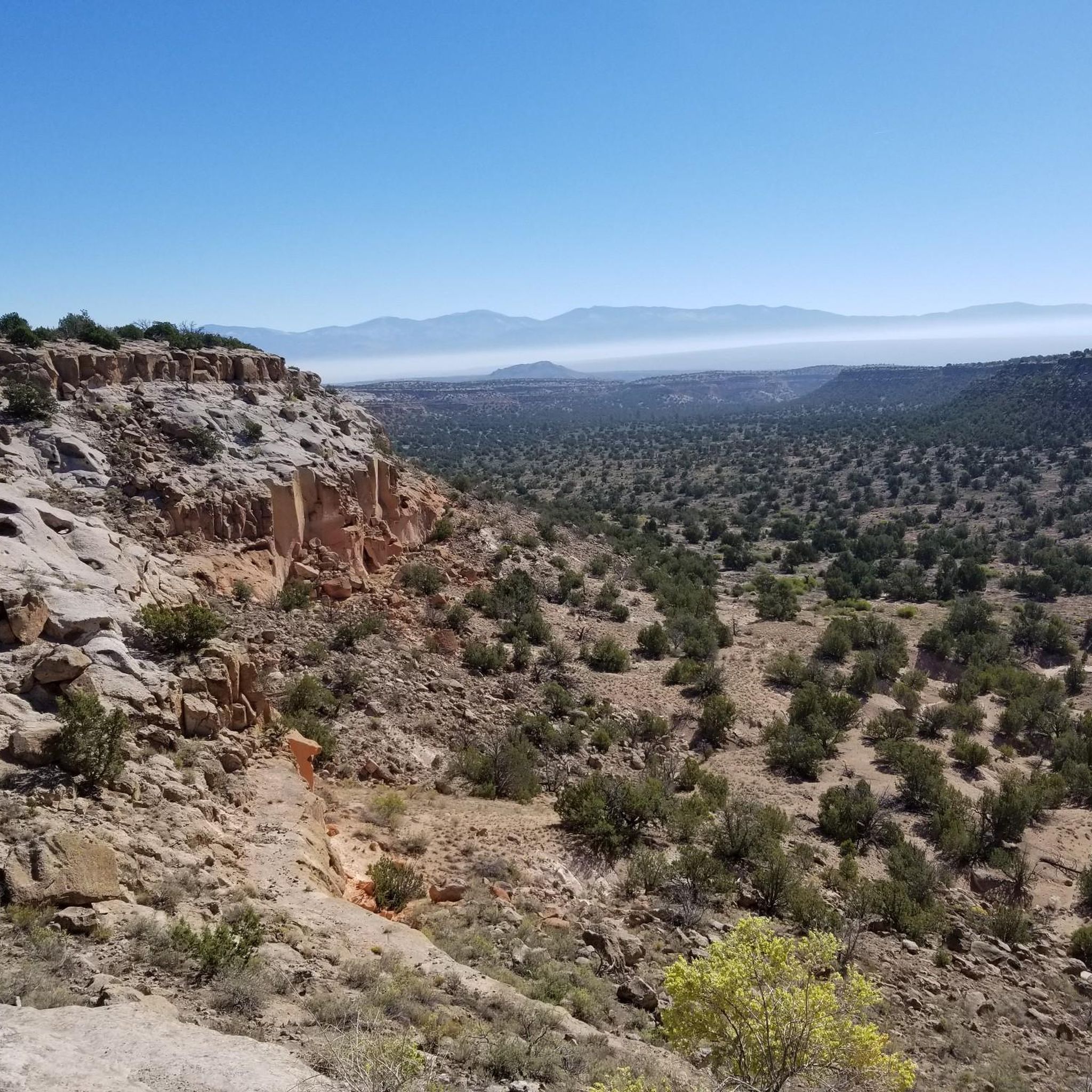
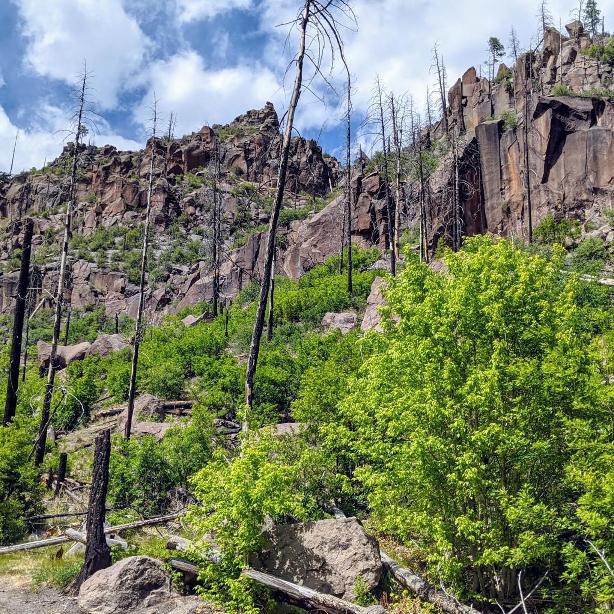
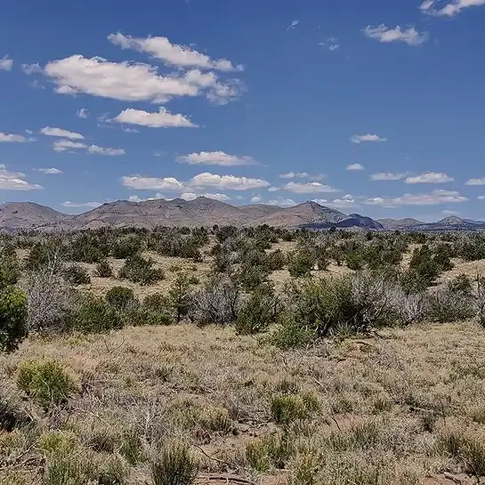
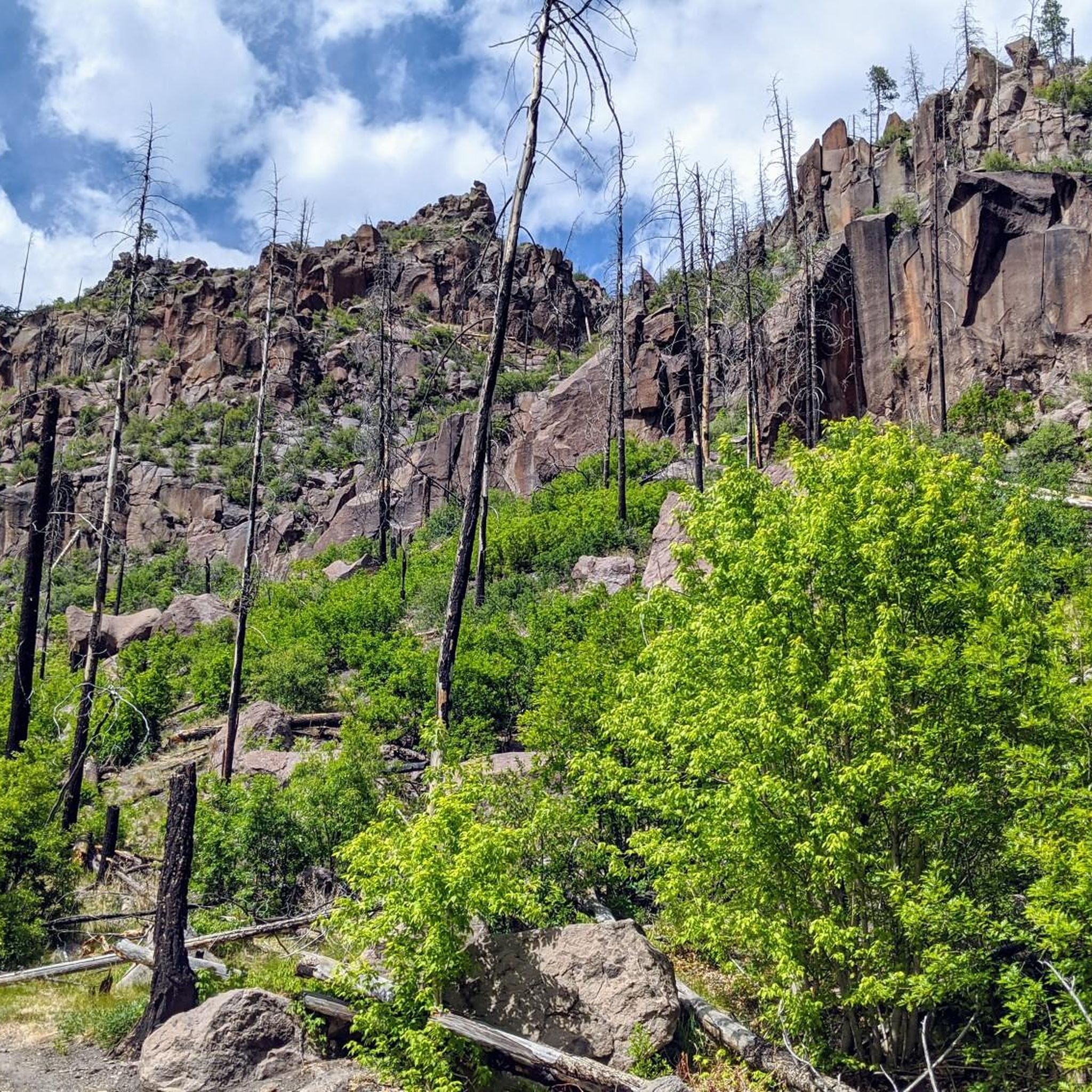
Other adventures in Bandelier National Monument

Tips from the Community

Lower Frijoles Falls is the last stop on the Falls Trail before it terminates. Here, hikers get a view over the Lower Frijoles Falls, where, in different seasons, water can be flowing low or rushing out! In the winter months, it gets cold enough for ice cycles to form around the falls. The canyon around the falls has multicolored rocks and foliage that changes with the seasons as well.
0
0

The trail passes by large panels of petroglyphs (carved pictures), that are thought to be hundreds of years old. Although their exact meaning is unknown, they are most likely not a type of written language, but rather held deep spiritual and artistic significance to ancient (and modern) indigenous people. There are many petroglyphs in this area, so be sure to take your time to try to find all of them - many of them blend in with their surroundings! Like in most archeological sites, please do not touch these ancient carvings.
0
0
The cavetes are located just below the ancient central village plaza in the cliff bands that make up the mesa. These cavates (human excavated cavities) were places where people could take shelter from the elements; the thick stone walls provided insulation from both the cold of winter and heat of summer. Talus pueblos were also most-likely constructed in front of the entrance to the cavates to further protect people from wind, rain, snow, and perhaps most importantly in the desert, heat. Please only enter cavetes that are immediately adjacent to the trail - the other cavets are dangerous to access.
0
0

This alcove is located 140 feet above the floor of Frijoles Canyon and once housed 25 Ancestral Pueblo people. The Alcove House is now accessed by a series of wooden ladders.
0
0
Bandelier National Monument was designated as a natural monument in 1916 by President Woodrow Wilson to preserve the homes and territory of the Ancestral Puebloans. Most of the pueblo structures in the monument date back to between 1150 and 1600 AD.
0
0

Cave that can only be reached via steep ladders.
0
0

The Rito de los Frijoles is about 13 miles long. At this location in the Bandelier National Monument, it cascades over rocks as the Upper and Lower Frijoles Falls. A refreshing destination for a hike.
3
0

Frequently Asked Questions
What are some of the most prominent natural features to explore in Bandelier National Monument?
Bandelier National Monument is rich in natural features shaped by volcanic activity. Key areas include Frijoles Canyon, carved by Frijoles Creek, and the expansive Pajarito Plateau, which offers diverse ecosystems due to significant elevation changes. You can also visit Frijoles Falls, where the Rito de los Frijoles cascades over rocks, providing a refreshing destination.
Where can I see ancient Ancestral Puebloan dwellings and historical sites within the monument?
The monument preserves numerous Ancestral Puebloan sites. You can explore Alcove House, located 140 feet above the Frijoles Canyon floor, which was once home to 25 people and is accessed via wooden ladders. Additionally, you can find Cavates, human-excavated cavities in the cliff bands, and panels of ancient Petroglyphs, offering insights into the region's deep cultural history.
Are there family-friendly trails or activities in Bandelier National Monument?
Yes, Bandelier National Monument offers several options suitable for families. The Main Loop Trail in Frijoles Canyon is generally considered family-friendly, providing access to many archaeological sites. While specific 'family_friendly' categories aren't listed for all highlights, the diverse landscape and historical sites offer engaging experiences for all ages. For hiking, consider easy routes like the Pueblo Loop Trail or Ponderosa Trail, which are part of the broader hiking opportunities in the monument.
What is the best time of year to visit Bandelier National Monument?
The monument's diverse ecosystems and elevation changes mean conditions vary. Spring and fall generally offer pleasant temperatures for hiking and exploring. Summer can be warm, especially in the canyons, while winter can bring colder temperatures and ice, particularly around Frijoles Falls where ice cycles can form. Checking the weather by season before your visit is recommended for optimal planning.
What kind of wildlife can I expect to see in Bandelier National Monument?
Bandelier National Monument's diverse habitats, ranging from Piñon-Juniper woodlands to Ponderosa pine and mixed conifer forests, support a wide variety of wildlife. Visitors might spot elk, bats, wild turkeys, and various birds of prey. The extensive wilderness, which makes up over 70% of the monument, provides ample opportunities for wildlife observation.
What are some popular hiking trails in Bandelier National Monument?
The monument offers over 70 miles of hiking trails. Popular options include the Main Loop Trail in Frijoles Canyon, which leads to ancient dwellings, and the Falls Trail, which takes you down to Frijoles Falls. For a more challenging experience with panoramic views, consider hiking to Cerro Grande, the highest point in the monument. You can find more hiking routes in the region on the Hiking in Bandelier National Monument guide.
Are there opportunities for mountain biking or road cycling near the natural monuments?
Yes, beyond hiking, Bandelier National Monument and its surrounding areas offer opportunities for cycling. You can explore various mountain biking trails, such as the American Springs Loop or Cañon de Valle Trail. For road cycling, routes like the Tsankawi Section Trailhead – Frijoles Mesa loop are available. Detailed routes can be found in the MTB Trails in Bandelier National Monument and Road Cycling Routes in Bandelier National Monument guides.
What is the geological significance of Bandelier National Monument?
The monument's landscape is a direct result of significant volcanic activity, specifically two major eruptions 1.6 and 1.4 million years ago. It lies on the slopes of the Jemez Volcanic Field, with much of the area covered in volcanic ash that formed the soft Bandelier Tuff. This unique geology created the deep canyons and mesas, and the soft rock allowed the Ancestral Pueblo people to carve their dwellings directly into the cliffs, intertwining natural and cultural history.
What are the elevation changes like within Bandelier National Monument?
Bandelier National Monument features significant elevation changes across the Pajarito Plateau. Elevations range from approximately 5,340 feet along the Rio Grande to over 10,000 feet at the summit of Cerro Grande. This dramatic shift in elevation over a relatively short distance contributes to the monument's diverse life zones and varied topography.
Is <a href="https://www.komoot.com/highlight/199657" target="_blank" rel="noopener">Alcove House</a> accessible for everyone?
Alcove House is a unique historical site, but it requires climbing a series of wooden ladders to reach. This makes it a challenging and less accessible option for visitors with mobility issues or those who are uncomfortable with heights. Visitors should assess their physical capabilities before attempting to reach it.
Are there any specific permits or fees required to enter Bandelier National Monument?
Bandelier National Monument is part of the National Park Service. Typically, national parks and monuments have entrance fees. For the most current information on entrance fees, permits, and any potential seasonal closures, it is best to check the official National Park Service website for Bandelier National Monument: nps.gov/band.
What makes the <a href="https://www.komoot.com/highlight/6361470" target="_blank" rel="noopener">Petroglyphs</a> in Bandelier National Monument significant?
The Petroglyphs found in Bandelier National Monument are ancient carved pictures, believed to be hundreds of years old. While their exact meaning is not fully known, they are thought to hold deep spiritual and artistic significance for the ancient indigenous people who created them. They are not considered a written language but rather a form of cultural expression. Visitors are asked not to touch these ancient carvings to preserve them.
Most popular routes in Bandelier National Monument
Most popular attractions in Bandelier National Monument

Get inspired with the komoot mobile app


Explore more
Extend your search for the best caves by checking out these guides of the top ones in Bandelier National Monument:
