The best cycling routes in Bandelier National Monument
5.0
(2)
31
riders
15
rides
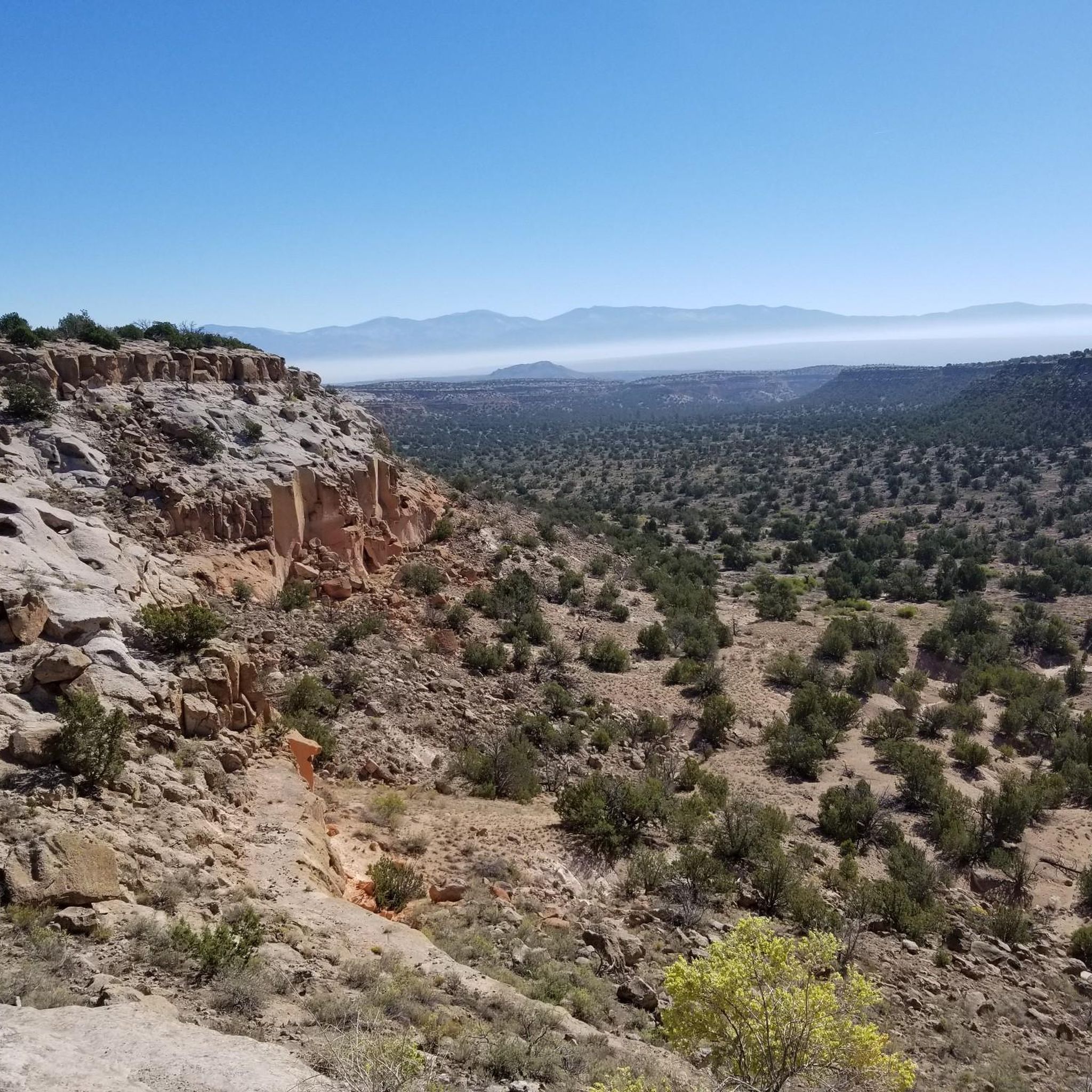
Touring cycling routes in Bandelier National Monument traverse a landscape characterized by rugged canyon and mesa country in northwestern New Mexico. The area features dramatic geological formations, including Frijoles Canyon carved into volcanic tuff, with elevations ranging from approximately 5,000 feet along the Rio Grande to over 10,000 feet at the rim of the Valles Caldera. This terrain offers varied cycling experiences, from routes along the Rio Grande to paths with significant elevation changes. The monument is bordered by the Valles Caldera National Preserve and Santa Fe National Forest, contributing to its diverse environment.
Best touring cycling routes in Bandelier National Monument
- The most popular touring cycling route is Juniper Campground loop, a 29.7 miles (47.7 km) trail that takes 3 hours 7 minutes to complete. This difficult route features considerable elevation gain.
- Another top favourite among local touring cyclists is South Mesa loop, a moderate 14.3 miles (23.0 km) path. This route offers diverse scenery and opportunities for wildlife viewing.
- Local touring cyclists also love the Canyon Rim Loop, a 7.9 miles (12.7 km) trail leading through varied terrain with a modest elevation gain, often completed in about 53 minutes.
- Touring cycling in Bandelier National Monument is defined by dramatic canyon and mesa landscapes, ancient cliff dwellings, and the Rio Grande. The network offers options for different ability levels, from easy paths to challenging routes with significant climbs.
- The routes in Bandelier National Monument are highly rated by the komoot community with an average score of 5.0 stars from over 2 reviews. More than 26 touring cyclists have used komoot to explore Bandelier National Monument's varied terrain.
Last updated: August 18, 2026
4
riders
56.1km
04:00
940m
940m
Hard bike ride. Very good fitness required. Mostly paved surfaces. Suitable for all skill levels.
18.4km
01:29
340m
340m
The American Springs Loop offers a rugged touring cycling experience through the high desert forests of New Mexico, a moderate 11.4-mile (18.4 km) route that packs 1110 feet (338 metres) of elevation gain into about 1 hour and 28 minutes. You'll traverse a two-track dirt road, winding through oak and aspen groves, then into denser stands of ponderosa pines and firs near the historic American Springs. Expect intermittently rocky and ungrated surfaces, especially past a certain gate, making it a challenging but rewarding ride for touring cyclists seeking adventure and scenic views of the Los Alamos Valley.
Planning your visit means preparing for a sunny ride with limited shade, so bring ample water and consider cooler times of day or year. The route is accessible and shared with vehicles and foot traffic due to activities like wood gathering and camping. While no specific permits are typically required for cycling, always check local regulations if you plan to extend your stay or engage in other activities.
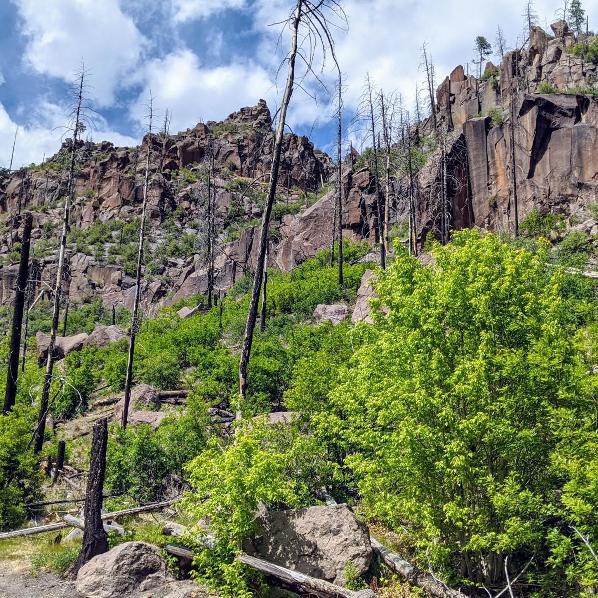
This loop is nestled within the Santa Fe National Forest, showcasing an ecosystem shaped by past burns, which influences the current vegetation. The American Springs themselves historically served as a vital watering stop for cattle and sheep drives, adding a layer of historical context to your ride. It's a route that combines natural beauty with a touch of local history, perfect for those who appreciate a less manicured cycling path.

Sign up for free
5.0
(1)
6
riders
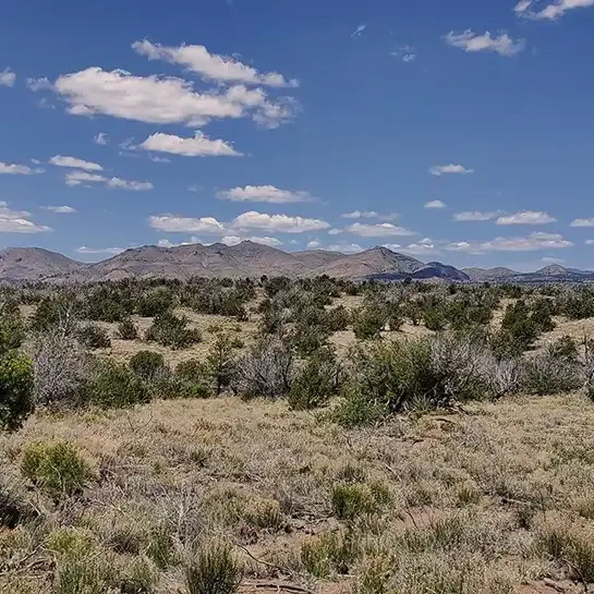
The Cerro Piñon – View of Redondo Peak loop offers an immersive touring cycling experience through the unique volcanic landscape of the Valles Caldera National Preserve. You'll traverse expansive grassland meadows, known as "valles," surrounded by forested volcanic domes and old-growth Ponderosa pine groves. Redondo Peak, the highest point in the preserve, serves as a prominent landmark throughout the journey, providing breathtaking views as you navigate a mix of rolling gravel roads, two-track, and potentially rougher segments.
This is a difficult 34.3 miles (55.2 km) route with 1757 feet (536 metres) of elevation gain, requiring very good fitness and an estimated 5 hours and 21 minutes to complete. Starting from the Valles Caldera Visitor Center, it's crucial to be prepared for high-altitude cycling, typically above 8,500 feet. Always check current regulations for the Valles Caldera National Preserve, as permits or reservations might be required for certain activities or areas, even though bicycle access is generally year-round.
What makes this route truly special is the opportunity to explore a largely traffic-free environment and encounter abundant wildlife, including New Mexico's second-largest herd of elk. The Valles Caldera cycling landmarks viewpoints natural features are truly unique, showcasing a vast 89,000-acre volcanic depression. This loop provides a distinct challenge and a deep dive into the natural beauty of the Jemez Mountains, making it a memorable ride for those seeking adventure.
4
riders
47.7km
03:07
670m
670m
The Juniper Campground loop offers a challenging yet incredibly scenic touring cycling experience, winding through varied terrain on Mount Diablo's western slopes. You'll navigate unpaved surfaces and fire roads, tackling significant inclines and declines. The reward for your effort is expansive views of the San Francisco Bay and surrounding valleys, with west-facing spots providing particularly stunning sunsets. This difficult 29.7-mile (47.7 km) route, with its 2213 feet (675 metres) of elevation gain, typically takes around 3 hours and 6 minutes to complete.
Starting from the Juniper Campground, this route is a popular choice for cyclists. The campground itself provides facilities like flush toilets and showers, though it's wise to check their current availability due to potential maintenance or drought conditions. Spring brings beautiful wildflowers to the area, while winter can occasionally surprise with snow, creating a unique riding environment. Plan your visit accordingly to enjoy the best conditions and avoid the valley heat.
Beyond the physical challenge and panoramic vistas, the Mount Diablo area is a
1
riders
23.0km
01:32
380m
380m
The South Mesa loop near Los Alamos, New Mexico, offers a distinctive touring cycling experience across sweeping mesa landscapes. You'll find yourself on mostly flat terrain, meandering through open meadows and along mesa edges, with good soil conditions that are particularly enjoyable for winter riding. While generally not technical, be prepared for sandy washes, tight turns, and minor ledges that add a fun challenge to this route.
This moderate 14.3-mile (23.0 km) route, with 1236 feet (377 metres) of elevation gain, typically takes around 1 hour and 32 minutes to complete. It's best suited for touring cyclists with gravel or mountain bikes, or those confident in handling varied surfaces, as it's less ideal for bikes with slick road tires. Always check local conditions and regulations before you go, and consider visiting in winter for optimal trail conditions.
This trail stands out as a great option for practicing off-road cycling skills in a scenic, high-desert environment. Its blue difficulty rating reflects the mix of terrain, making it a popular choice for those seeking a moderately challenging ride away from overly technical singletrack. The South Mesa loop provides a unique opportunity to explore the natural beauty of the region on two wheels.
Get access to more routes and recommendations from other explorers.
Sign up for free
Already have an account?
Our route recommendations are based on thousands of hikes, rides, and runs completed by other people on komoot.
Start today with a free account
Your next adventure awaits.
Login or Signup

Other adventures in Bandelier National Monument

Tips from the Community


This junction gives you a great view of Redondo Peak and the valley in between. This area does have private houses, so it's important to stay on the trail while taking in the views.
0
0

Valles Caldera National Preserve in northern New Mexico is a 13.7-mile-wide volcanic caldera formed by a massive eruption approximately 1.2 million years ago. Now the area is full of mountains, meadows, and interesting geothermal features.
0
0
This junction gives runners a great view of Redondo Peak and the valley in between. This area does have private houses, so it's important to stay on the trail while taking in the views.
0
0
This part of New Mexico Highway 4 has great views of the Los Alamos Valley, with the Jemez Hairpin Curve being an especially nice spot. If hiking this road, the shoulder is narrow, so be careful.
0
0
This junction gives hikers a great view of Redondo Peak and the valley in between. This area does have private houses, so it's important to stay on the trail while taking in the views.
0
0

The Bradbury Science Museum, located in Los Alamos, New Mexico, is dedicated to showcasing the scientific and technological contributions of Los Alamos National Laboratory, particularly during the Manhattan Project. Named after the laboratory's second director, Dr. Norris E. Bradbury, the museum offers an immersive experience, featuring exhibits on nuclear science, physics, and the history of Los Alamos. Visitors can explore interactive displays, models, and artifacts, and learn about the laboratory's role in developing nuclear weapons and its ongoing contributions to various scientific fields. The museum aims to educate the public on the laboratory's research and its impact on national security and scientific advancements. Admission is free for visitors of all ages.
0
0
Ashley Pond Park, situated within the Manhattan Project National Historic Park, holds significant historical value in Los Alamos, New Mexico. Named after the founder of the Los Alamos Ranch School, Ashley Pond, the park was a focal point during the Manhattan Project (1943-1947). It housed military facilities and played a crucial role in scientific research. Today, the park is a peaceful space with picturesque views of the surrounding landscape, and features memorials and interpretive signs commemorating the Manhattan Project's scientific and historical contributions. There is also the Ice House, which stands as a memorial to the Los Alamos Ranch School days and Project Y, on the southern bank of the pond.
0
0
Frequently Asked Questions
How many touring cycling routes are available in Bandelier National Monument?
There are several touring cycling routes within Bandelier National Monument, offering a variety of experiences. Komoot currently features 9 routes, ranging from easy to difficult, allowing cyclists to explore the diverse canyon and mesa landscapes.
What kind of terrain can I expect on touring cycling routes in Bandelier National Monument?
The terrain in Bandelier National Monument is characterized by rugged canyon and mesa country, featuring dramatic geological formations like Frijoles Canyon carved into volcanic tuff. You can expect varied cycling experiences, from routes along the Rio Grande to paths with significant elevation changes. Some routes may include unpaved segments, while others are paved.
Are there any easy touring cycling routes suitable for beginners or families?
Yes, there is an easy touring cycling route available. The Canyon Rim Loop is a 7.9-mile path with a modest elevation gain, making it a good option for those looking for a less strenuous ride. While the monument offers diverse terrain, this route provides a more accessible experience.
What cultural and historical sites can I see along the cycling routes?
Bandelier National Monument is rich in cultural history, preserving over 11,000 years of human presence. Along and near the cycling routes, you can explore ancient cliff dwellings known as Cavates, standing masonry walls, and Petroglyphs left by the Ancestral Pueblo people. The famous Alcove House, accessible by ladders, is another significant site offering a glimpse into these ancient civilizations.
Are there any waterfalls or significant natural features to see?
Yes, the monument preserves scenic rivers and streams. Frijoles Creek features waterfalls, including the Frijoles Falls, which are visible from the Falls Trail. The dramatic canyon and mesa landscapes, including Frijoles Canyon, are prominent natural features carved by millions of years of geological activity.
What are some challenging touring cycling routes for experienced riders?
For experienced riders seeking a challenge, Bandelier National Monument offers routes with significant elevation gain. The Juniper Campground loop is a difficult 29.7-mile route with considerable climbing. Another demanding option is the Cerro Piñon – View of Redondo Peak loop from Cerro la Jara, which covers over 34 miles with substantial elevation changes.
Are there any circular touring cycling routes in the area?
Yes, several touring cycling routes in Bandelier National Monument are designed as loops, allowing you to start and end at the same point. Examples include the American Springs Loop, the South Mesa loop, and the Canyon Rim Loop, providing convenient options for your ride.
What wildlife might I encounter while cycling in Bandelier National Monument?
Bandelier National Monument is home to a diverse ecosystem. While cycling, you might encounter over 50 species of mammals, including mule deer, bighorn sheep, and occasionally mountain lions. Various reptile and bird species also inhabit the area. For more information on the park's natural features and wildlife, you can visit the official NPS website: nps.gov/band/learn/nature.
What do other touring cyclists enjoy most about Bandelier National Monument?
The touring cycling routes in Bandelier National Monument are highly rated by the komoot community, with an average score of 5.0 stars. Cyclists often praise the unique blend of stunning natural beauty, dramatic canyon and mesa landscapes, and the rich cultural history offered by the ancient cliff dwellings and petroglyphs. The varied terrain also provides options for different skill levels.
Is there an entrance fee for cyclists in Bandelier National Monument?
Yes, cycling is a recognized activity within Bandelier National Monument, and an entrance fee applies for individual cyclists. It's advisable to check the official National Park Service website for the most current fee information and any specific regulations regarding cycling within the monument.
Are permits required for cycling in Bandelier National Monument?
While general cycling on designated routes typically falls under the standard entrance fee, organized cycling events or activities that fall outside normal recreational use may require special use permits. For details on permits and special events, it's best to consult the official National Park Service website: nps.gov/band/planyourvisit/special-events.
What are the elevation ranges within Bandelier National Monument?
Bandelier National Monument features significant elevation changes due to its varied terrain. Elevations can range from approximately 5,000 feet along the Rio Grande to over 10,000 feet at the peak of Cerro Grande on the rim of the Valles Caldera. This diverse topography contributes to the challenging and rewarding nature of many cycling routes.
Most popular routes in Bandelier National Monument
Most popular attractions in Bandelier National Monument

Get inspired with the komoot mobile app


Explore more
Browse the best Cycling routes in other regions.
