Top 4 Mountain Passes in Santa Rosa De Viterbo
Best mountain passes in Santa Rosa De Viterbo are found in the mountainous Boyacá department of Colombia, characterized by lush green mountains and high-altitude routes. This region offers various opportunities for outdoor activities, including hiking and cycling, amidst its natural beauty. Elevated points provide panoramic vistas of the Colombian countryside and the surrounding Andean highlands. The area features both paved and unpaved routes, catering to different levels of experience.
Best mountain passes in Santa Rosa De Viterbo
- The most popular…
Last updated: July 3, 2026
Puerta de Cuche
Highlight • Mountain Pass
Translated by Google •
Tip by

Alto de Tobasía
Highlight • Mountain Pass
Translated by Google •
Tip by
Sign up now to discover places like this
Get recommendations on the best single tracks, peaks, & plenty of other exciting outdoor places.
Sign up for free
Alto del Portachuelo
Highlight • Mountain Pass
Translated by Google •
Tip by
Alto de Santa Ana (Charalá Road)
Highlight • Mountain Pass
Translated by Google •
Tip by
Alto del Páramo de La Rusia (Duitama–El Encino Road)
Highlight • Mountain Pass
Translated by Google •
Tip by
Start today with a free account
Your next adventure awaits.
Login or Signup
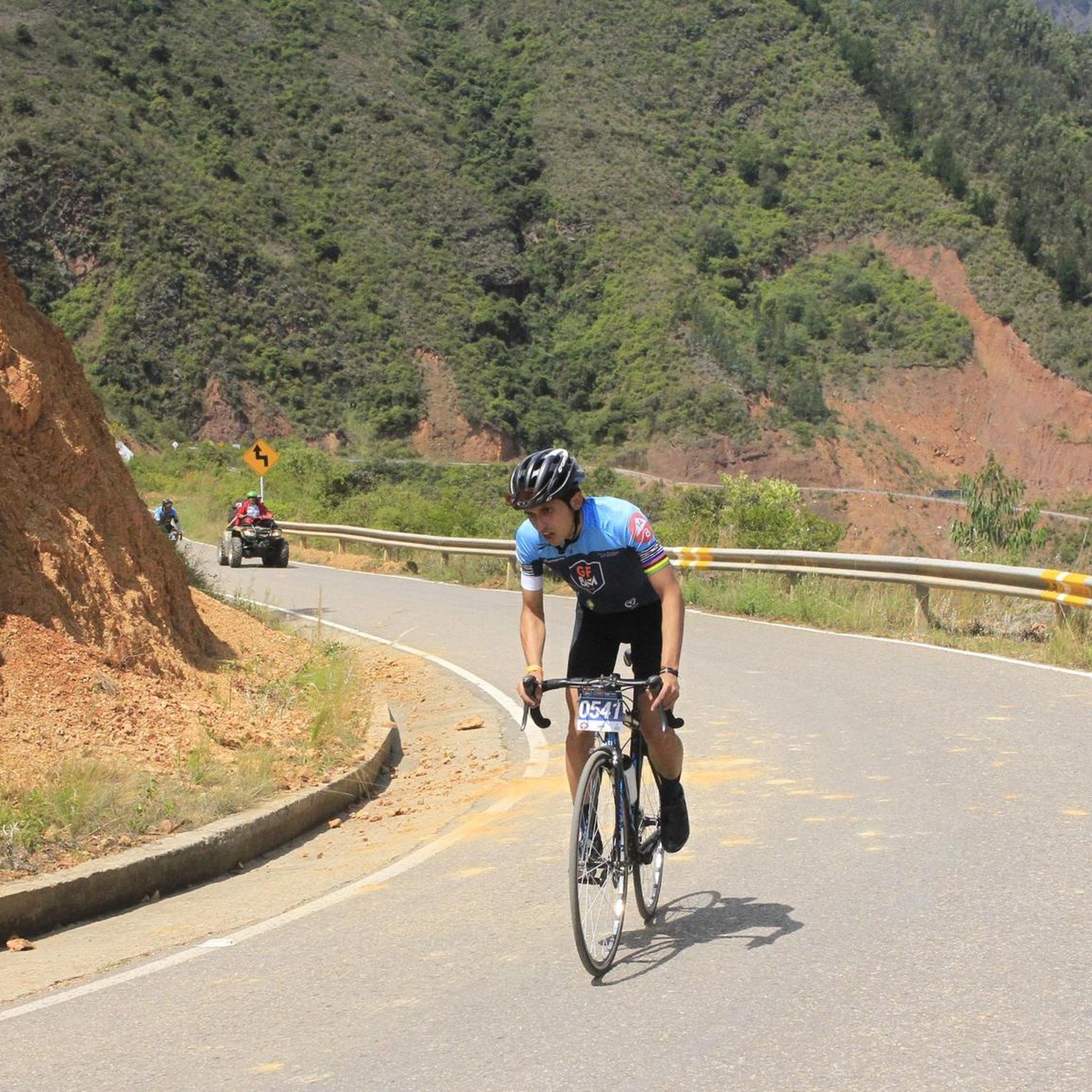
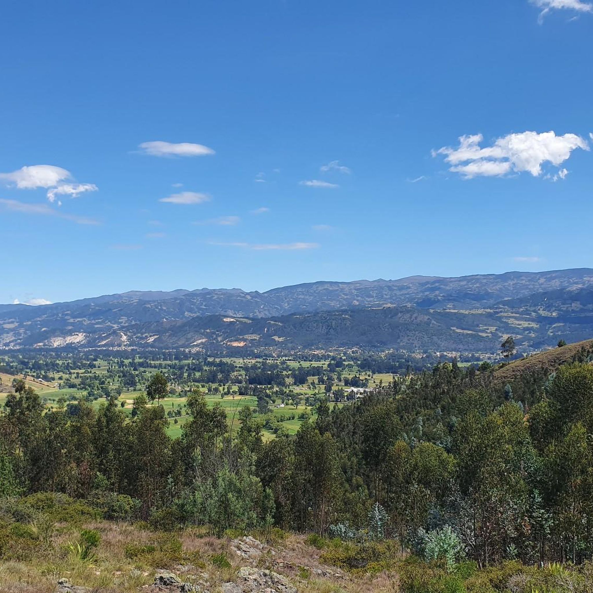
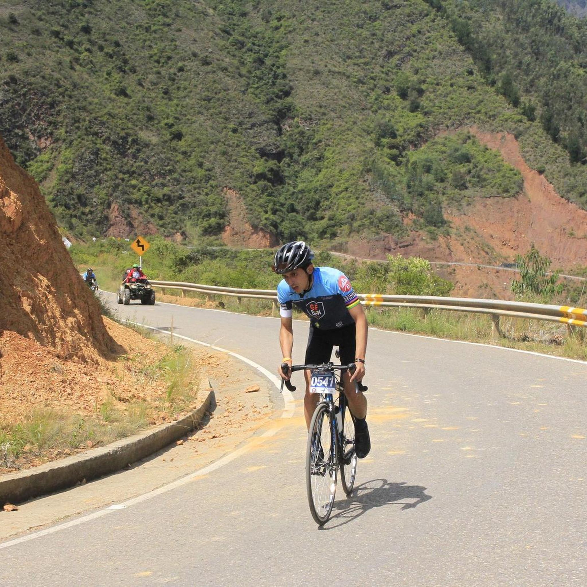

Tips from the Community

I did it by diverting onto an unpaved route from Santa Rosa de Viterbo, a good option if you want to avoid traffic on the main road, however, it is recommended on MTB or Gravel.
0
0

Difficulty breathing after 3250 meters above sea level, be well trained
0
0

Summit between the municipalities of Santa Rosa de Viterbo and Belén. Elevation close to 3000 meters above sea level
0
0
High of the Russian wasteland. Via Duitama - El Encino. 3840 meters above sea level. Unpaved segment
0
0
Stop between the municipalities of Santa Rosa de Viterbo and Cerinza. Elevation 2974 meters above sea level.
0
0
Mythical port at 2940 masl between Tobasía and Santa Rosa de Viterbo. Completely paved road in very good condition.
0
0

it is very good to climb 2 km to the antennas
0
0
Detour point from via Cuche to Santa Rosa de Viterbo. By a branch you can reach the top of Tobasía. Unpaved segments.
1
0
Frequently Asked Questions
What types of mountain passes can I expect in Santa Rosa de Viterbo?
Santa Rosa de Viterbo offers a mix of mountain passes, from completely paved routes in excellent condition, like Alto de Tobasía, to routes with unpaved segments that provide a more rugged experience, such as those found around Puerta de Cuche. These routes cater to different preferences, whether you're looking for a smooth ride or a more adventurous trek.
Are there any family-friendly mountain passes in Santa Rosa de Viterbo?
While specific 'family-friendly' designations aren't always given for mountain passes, the paved and well-maintained sections, such as the road to Alto de Tobasía, can be suitable for families looking for scenic drives or easier walks with panoramic views. Always check the specific route conditions and elevation gain to ensure it matches your family's capabilities.
What kind of views can I expect from the mountain passes?
From the mountain passes in Santa Rosa de Viterbo, you can expect stunning panoramic vistas of the Colombian countryside and the surrounding Andean highlands. Elevated points like Alto del Portachuelo offer expansive views of the lush green mountains and picturesque landscapes characteristic of the Boyacá department.
What outdoor activities are available near the mountain passes in Santa Rosa de Viterbo?
The mountainous terrain around Santa Rosa de Viterbo is ideal for various outdoor activities. You can find numerous routes for cycling, running, and mountain biking. For cycling, explore options like the 'Viewpoint of Alto de Tobacia loop from Santa Rosa de Viterbo' mentioned in the Cycling in Santa Rosa De Viterbo guide. Running enthusiasts can check out the Running Trails in Santa Rosa De Viterbo guide, and mountain bikers have options like the 'Alto Tobasía, Duitama – Puerta de Cuche loop from Santa Rosa de Viterbo' in the MTB Trails in Santa Rosa De Viterbo guide.
When is the best time of year to visit the mountain passes in Santa Rosa de Viterbo?
Santa Rosa de Viterbo generally experiences a temperate climate year-round due to its high altitude. This makes the mountain passes accessible and enjoyable throughout most of the year. However, it's always advisable to check local weather forecasts before your visit, especially during rainy seasons, as unpaved sections might become more challenging.
Are there any cultural or historical points of interest along the mountain pass routes?
Yes, along some routes, such as the one via Cuche to Santa Rosa de Viterbo, you might encounter local landmarks. Notably, there is a Shrine of the Virgin of the Cyclist, which highlights the region's connection to cycling and offers a glimpse into local cultural practices and beliefs associated with these mountain routes.
What should I pack for a trip to the mountain passes?
Given the high altitude and temperate climate, it's recommended to pack layers of clothing to adapt to changing temperatures. Essential items include comfortable hiking or cycling shoes, rain gear (just in case), sun protection (hat, sunglasses, sunscreen), sufficient water, and snacks. For more rugged or unpaved routes, consider appropriate gear for challenging terrain.
Can I find unpaved routes for a more rugged experience?
Absolutely. While some main routes are paved, Santa Rosa de Viterbo also offers unpaved segments for those seeking a more rugged adventure. For instance, the route via Cuche towards Santa Rosa de Viterbo, which includes Puerta de Cuche, features unpaved portions, providing a different kind of challenge and immersion in nature.
What is the highest mountain pass or point I can reach?
Among the identified mountain passes, Alto del Portachuelo reaches an elevation of 2974 meters above sea level. The region also features significant peaks like Serranía Pan de Azúcar, identified as the highest point within Santa Rosa de Viterbo, and Cerro Tugón, the most prominent peak, which offer challenging routes and expansive views.
Are there running trails near the mountain passes?
Yes, Santa Rosa de Viterbo offers several running trails that can be accessed near the mountain passes. You can find various routes, including moderate and difficult options, such as the 'Running loop from Santa Rosa de Viterbo'. For detailed information and route options, refer to the Running Trails in Santa Rosa De Viterbo guide.
Where can I find mountain biking trails around Santa Rosa de Viterbo?
Mountain biking is a popular activity in the region, with trails like 'Alto Tobasía, Duitama – Puerta de Cuche loop from Santa Rosa de Viterbo' and 'Alto del Portachuelo – Alto Tobasía, Duitama loop from Santa Rosa de Viterbo'. These trails offer varying difficulty levels. You can explore more options and detailed routes in the MTB Trails in Santa Rosa De Viterbo guide.
Are there any circular routes available for mountain passes?
Yes, there are circular routes that incorporate the mountain passes, allowing for diverse exploration. For example, cyclists can find routes like the 'Viewpoint of Alto de Tobacia loop from Santa Rosa de Viterbo' in the Cycling in Santa Rosa De Viterbo guide, which offers a comprehensive experience of the area's scenic beauty.
Most popular attractions in Santa Rosa De Viterbo

Get inspired with the komoot mobile app


Explore more
See even more epic mountain passes by checking out these guides in Santa Rosa De Viterbo:
