The best MTB trails in Santa Rosa De Viterbo
4.8
(185)
479
riders
18
rides
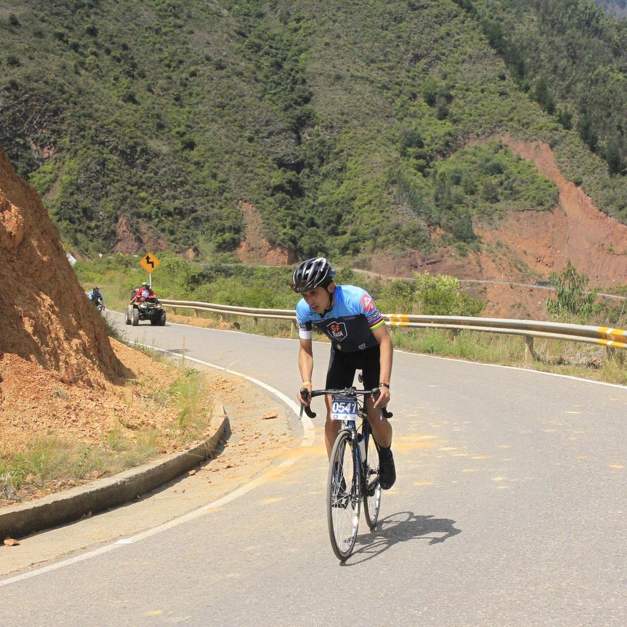
Mountain bike trails in Santa Rosa De Viterbo, located in Boyacá, Colombia, offer diverse terrain for cyclists. The region features routes that reach significant elevations, including climbs to nearly 3000 meters above sea level. Cyclists can find both paved sections and unpaved tracks, providing varied challenges. The natural environment is characterized by green landscapes, contributing to scenic surroundings for outdoor activities.
Best mountain bike trails in Santa Rosa De Viterbo
- The most popular mountain bike trail is Alto Tobasía, Duitama…
Last updated: July 1, 2026
4.5
(20)
33
riders
26.2km
01:43
390m
390m
Moderate mountain bike ride. Good fitness required. Suitable for all skill levels.
5.0
(12)
22
riders
Easy mountain bike ride. Great for any fitness level. Suitable for all skill levels.

Sign up for free
4.0
(4)
18
riders
Moderate mountain bike ride. Good fitness required. Suitable for all skill levels.
16
riders
63.0km
06:40
2,090m
2,090m
Hard mountain bike ride. Very good fitness required. Suitable for all skill levels.
14
riders
37.5km
03:59
1,310m
1,310m
Hard mountain bike ride. Very good fitness required. Suitable for all skill levels.
Get access to more routes and recommendations from other explorers.
Sign up for free
Already have an account?
Our route recommendations are based on thousands of hikes, rides, and runs completed by other people on komoot.
Start today with a free account
Your next adventure awaits.
Login or Signup
Popular around Santa Rosa De Viterbo

Tips from the Community

I did it by diverting onto an unpaved route from Santa Rosa de Viterbo, a good option if you want to avoid traffic on the main road, however, it is recommended on MTB or Gravel.
0
0
Main square with beautiful architecture
0
0

Thanks to Ramíro from La Cicleria Taller & Café, the brakes are working again.
0
0


Summit between the municipalities of Santa Rosa de Viterbo and Belén. Elevation close to 3000 meters above sea level
0
0
Go up the side next to the police school
0
0
Stop between the municipalities of Santa Rosa de Viterbo and Cerinza. Elevation 2974 meters above sea level.
0
0
Good restaurant, family atmosphere, run by its owner, Doña Mery.
0
0
Frequently Asked Questions
How many mountain bike trails are available in Santa Rosa De Viterbo?
Santa Rosa De Viterbo offers a network of over 20 mountain bike trails. These routes cater to various skill levels, including easy, moderate, and difficult options, allowing riders to choose adventures that match their experience.
What kind of terrain will I encounter on mountain bike trails in Santa Rosa De Viterbo?
You can expect a diverse range of terrain. The region features routes with significant elevation gains, including climbs to nearly 3000 meters above sea level. There are both paved sections and unpaved tracks, offering varied challenges through a green and natural environment.
Are there any challenging mountain bike routes for experienced riders?
Yes, for experienced riders seeking a challenge, Santa Rosa De Viterbo has 6 difficult mountain bike trails. One notable option is the Puerta de Cuche – Alto de Tobasía loop from Santa Rosa de Viterbo, which covers 37.5 km and features substantial elevation changes.
What do other mountain bikers enjoy most about the trails in Santa Rosa De Viterbo?
The mountain bike trails in Santa Rosa De Viterbo are highly rated by the komoot community, with an average score of 4.8 stars from over 180 reviews. Riders often praise the high-altitude climbs, the mix of paved and unpaved tracks, and the beautiful green natural environment that defines the region's cycling experience.
Are there any family-friendly or easy mountain bike trails in the area?
Yes, there are options suitable for families or those looking for an easier ride. For instance, the Alto Tobasía, Duitama – La Cicleria Workshop & Café loop from Santa Rosa de Viterbo is an easy 23.4 km path that offers a less strenuous ride through the local landscape.
Are there any circular mountain bike routes available?
Many of the mountain bike trails in Santa Rosa De Viterbo are designed as loops, allowing you to start and finish in the same location. An example is the Alto Tobasía, Duitama – Puerta de Cuche loop from Santa Rosa de Viterbo, a 26.2 km moderate trail.
What natural features or landmarks can I see along the mountain bike trails?
The region is known for its natural beauty and high-altitude features. You can encounter mountain passes like Puerta de Cuche and Alto de Tobasía. There's also a unique Shrine of the Virgin of the Cyclist, reflecting the strong cycling culture in the area.
What is the best time of year for mountain biking in Santa Rosa De Viterbo?
Given its high-altitude location, the region generally offers pleasant conditions for mountain biking. While specific seasonal details can vary, the green and natural environment suggests that the dry seasons would be ideal for enjoying the trails, avoiding heavy rains that might affect unpaved sections.
Are there any routes that pass through significant elevations?
Absolutely. Many routes in Santa Rosa De Viterbo feature significant climbs. For example, the Alto del Portachuelo – Alto Tobasía, Duitama loop from Santa Rosa de Viterbo is a 38.7 km trail that leads through elevated areas, offering substantial ascents and descents.
Are there any longer mountain bike routes for endurance training?
For those looking for longer rides, the La Laguna Chapel loop from Santa Rosa de Viterbo is a substantial 49.2 km moderate route. This trail provides an extended experience through the region's varied landscapes.
Where can I find information about outdoor activities in the broader Santa Rosa region?
For more general information about outdoor activities and exploration opportunities in the Santa Rosa region, you can visit visitsantarosa.com.
Most popular attractions in Santa Rosa De Viterbo

Get inspired with the komoot mobile app


Explore more
Browse the best MTB trails in other regions.
