Top 5 Mountain Passes around Gwyddelwern
Best mountain passes around Gwyddelwern are found in the surrounding North Wales region, particularly Denbighshire and Gwynedd. Gwyddelwern is a village situated in a valley, offering views of nearby hills and mountains. While the village itself does not contain prominent passes, the area provides access to several notable routes known for their scenic and challenging characteristics. These passes are popular for cycling, driving, and accessing walking paths.
Best mountain passes around Gwyddelwern
- The most popular mountain passes is Horseshoe Pass…
Last updated: July 1, 2026
Horseshoe Pass (Bwlch yr Oernant) Climb from Llangollen
Highlight (Segment) • Mountain Pass
Tip by

Wayfarer Memorial Traverse
Highlight (Segment) • Historical Site
Tip by

Sign up now to discover places like this
Get recommendations on the best single tracks, peaks, & plenty of other exciting outdoor places.
Sign up for free
Wayfarer Memorial Pass
Highlight (Segment) • Trail
Tip by

Wayfarer Eastern Approach
Highlight (Segment) • Trail
Tip by
Wayfarer Pass — Off‑Road Section
Highlight (Segment) • Trail
Tip by

Start today with a free account
Your next adventure awaits.
Login or Signup
Tips from the Community


Be prepared for a good hour's hike-a-bike over football-sized gravel, with parts submerged under deep pools even on a dry day in July. It's called rough stuff for a reason :)
0
0

Horseshoe pass (Bwlch yr Oernant) is a 4 mile climb in North Wales near Wrexham, averaging 5% – climbing 311 metres to finish at 1,200 ft (404m). It’s a challenging hill climb, with a few steeper sections of up to 12%, but generally, it feels quite a steady gradient. On a good day, it provides a beautiful backdrop for a hill climb. The Horseshoe Pass is a mountain pass in Denbighshire, north-east Wales. It separates Llantysilio Mountain to the west from the 565 metre mountain and Marilyn Cyrn-y-Brain to the east. The A542 road from Llandegla to Llangollen runs through the pass, reaching a maximum height of 417 metres.
5
1
Horseshoe pass (Bwlch yr Oernant) is a 4 mile climb in North Wales near Wrexham, averaging 5% – climbing 311 metres to finish at 1,200 ft (404m). It’s a challenging hill climb, with a few steeper sections of up to 12%, but generally, it feels quite a steady gradient. On a good day, it provides a beautiful backdrop for a hill climb.
4
1
The Horseshoe Pass (Welsh: Bwlch yr Oernant, "Pass of the Cold Stream") is a mountain pass in Denbighshire, north-east Wales. It separates Llantysilio Mountain to the west from the 565 metre (1,854 feet) mountain and Marilyn Cyrn-y-Brain to the east. The A542 road from Llandegla to Llangollen runs through the pass, reaching a maximum height of 417 metres (1,368 ft). The road travels in a horseshoe shape around the sides of a valley, giving the pass its English name. In 2022, a proposal for a 40 mph speed limit on the Horseshoe Pass was approved after a lengthy campaign by Llangollen's county councillors.
4
0
The Horseshoe Pass (Welsh: Bwlch yr Oernant, "Pass of the Cold Stream") is a mountain pass in Denbighshire, north-east Wales. It separates Llantysilio Mountain to the west from the 565 metre (1,854 feet) mountain and Marilyn Cyrn-y-Brain to the east. The A542 road from Llandegla to Llangollen runs through the pass, reaching a maximum height of 417 metres (1,368 ft). The road travels in a horseshoe shape around the sides of a valley, giving the pass its English name. In 2022, a proposal for a 40 mph speed limit on the Horseshoe Pass was approved after a lengthy campaign by Llangollen's county councillors.
5
0

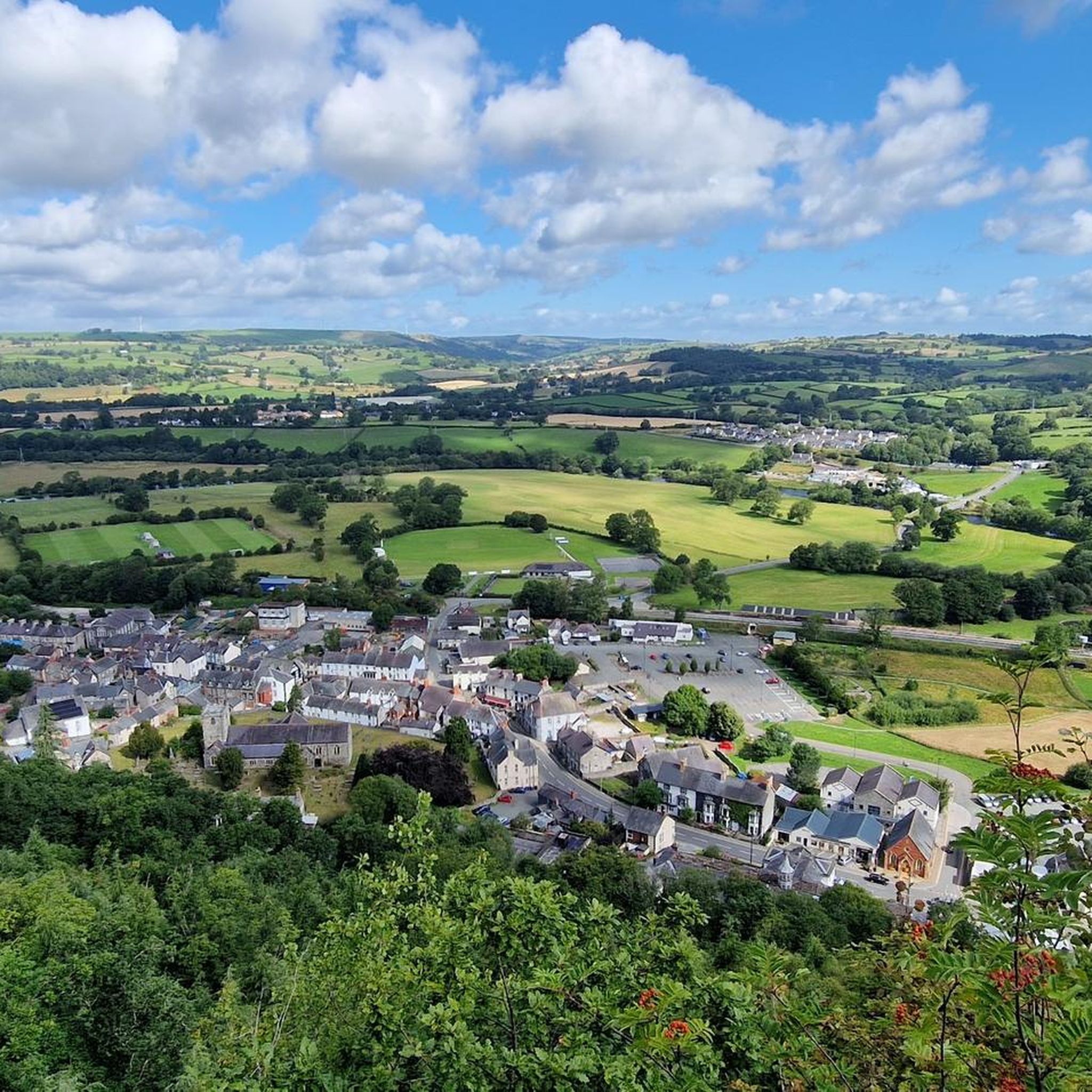
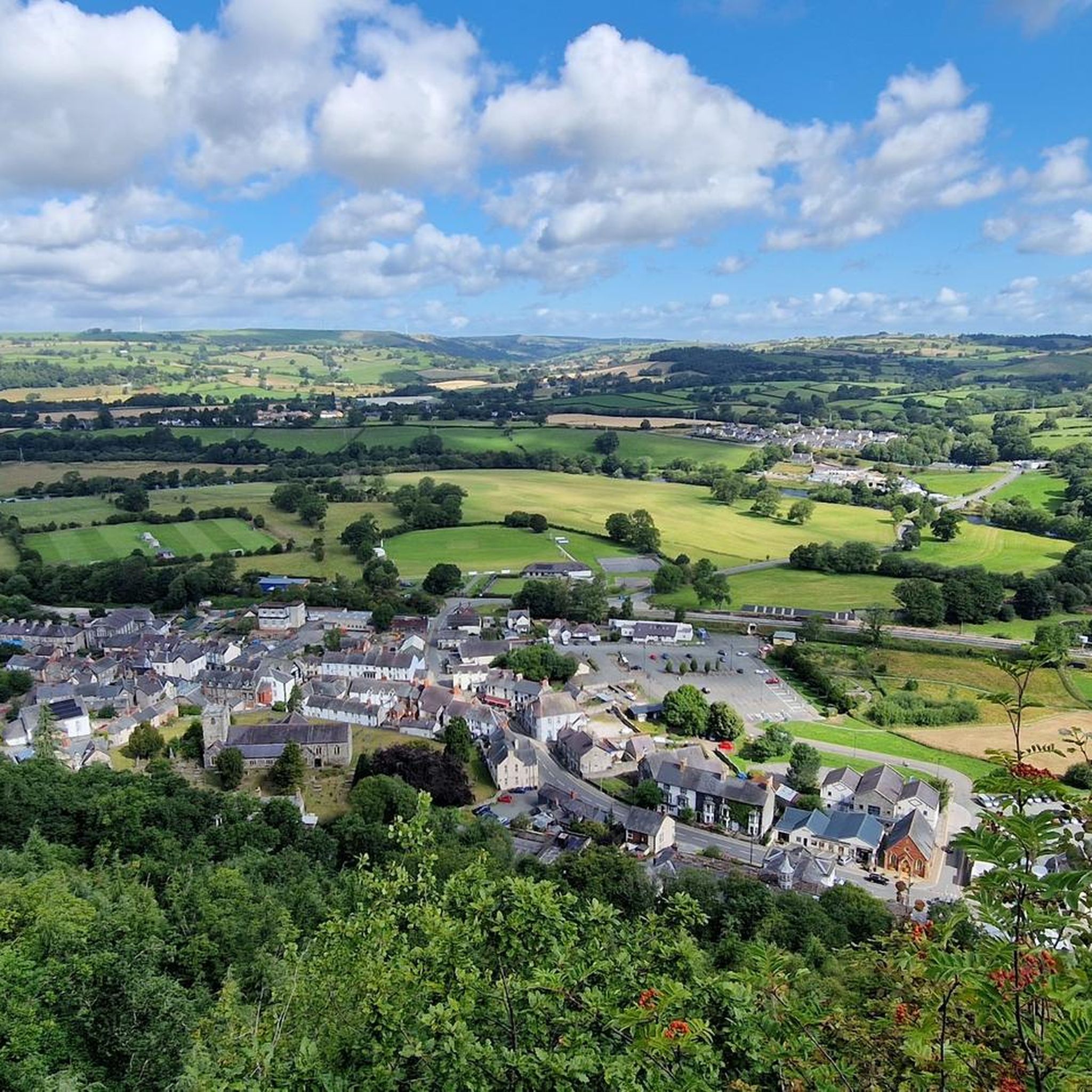
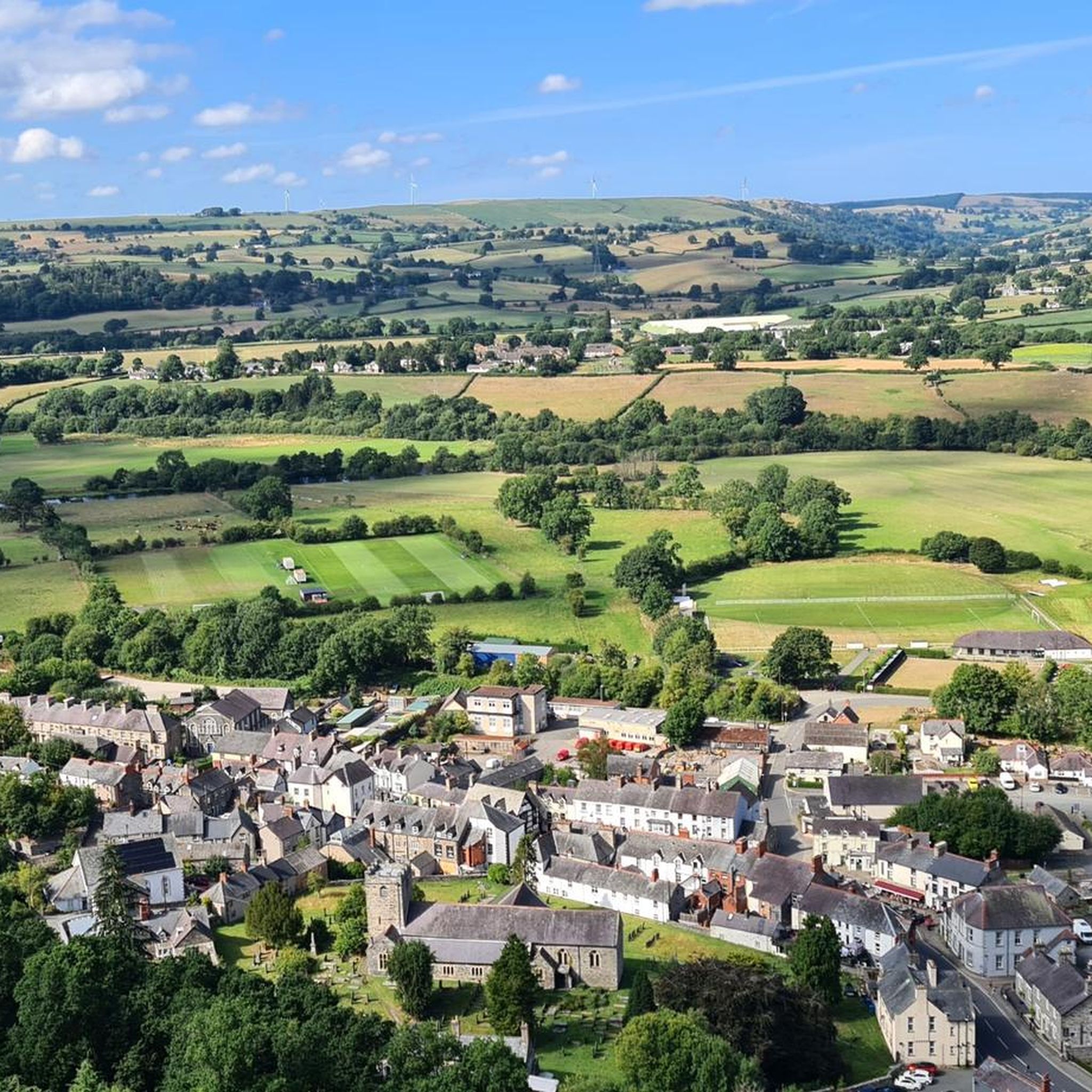
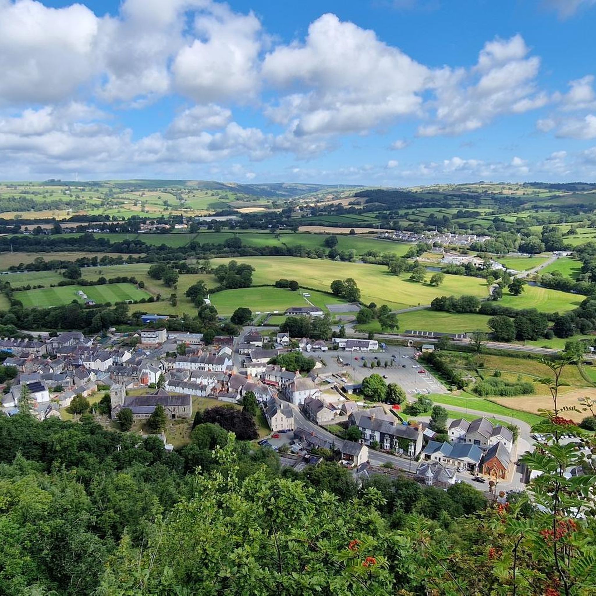
This spot is the best lookout point on the horseshoe pass, just before getting to the cafe at the top. An easy place to stop off the road and take a few pictures.
1
0
A great cycling destination and challenge, a rewarding 6k climb and the best views. Even better on dissent, with wide and well paved roads it's easy to reach speeds of up to 40 mph (64 kph) or more!
2
0
Frequently Asked Questions
What are some of the most popular mountain passes near Gwyddelwern?
The region around Gwyddelwern offers several notable mountain passes. Among the most popular are Horseshoe Pass (Bwlch yr Oernant), known for its distinctive shape and scenic views, and Wayfarer Memorial Traverse, which is part of a historically significant cycling route.
What makes the Horseshoe Pass a popular destination?
The Horseshoe Pass, or Bwlch yr Oernant, is popular for its magnificent views of the surrounding valley and mountains. It's a favorite for scenic drives, cycling, and motorcycling. At its highest point, visitors can enjoy panoramic vistas. The pass also has a rich history, dating back to 1811 as a turnpike road, and offers numerous walking paths.
Are there any historically significant mountain passes in the area?
Yes, the Wayfarer Memorial Traverse is a historical site, commemorating a challenging cycling escapade from 1919. A memorial plaque marks its summit. Additionally, Bwlch y Groes, further afield in Gwynedd, was historically part of a pilgrim route and used by vehicle companies for testing due to its demanding nature.
Which mountain passes near Gwyddelwern are considered challenging?
For cyclists, Bwlch Penbarras features steep gradients approaching 25% on its western side, making it a 'Killer Climb'. Bwlch y Groes, often nicknamed 'Hellfire Pass', is renowned for its wild, remote character and steep inclines, with gradients as steep as 1 in 4 (25%) on its southern ascent. The Horseshoe Pass climb from Llangollen is also a rewarding challenge for cyclists.
What outdoor activities can I do near these mountain passes?
The area around Gwyddelwern and its mountain passes is excellent for various outdoor activities. You can find numerous routes for road cycling, mountain biking, and running. For example, there are challenging MTB trails like the Wayfarer Loop, and scenic road cycling routes that incorporate passes like the Horseshoe Pass. You can explore more options in the MTB Trails around Gwyddelwern, Road Cycling Routes around Gwyddelwern, and Running Trails around Gwyddelwern guides.
Can I find hiking trails around the mountain passes?
Yes, many mountain passes serve as access points for hiking. Bwlch Penbarras, for instance, is a popular starting point for walkers heading to Moel Famau, with car parks available at the summit. The Horseshoe Pass also has numerous walking paths in its immediate area. These passes offer opportunities to explore the surrounding hills and enjoy the natural landscape on foot.
What kind of views can I expect from these mountain passes?
The mountain passes in this region offer spectacular panoramic views. From the Horseshoe Pass, you can see the surrounding valley and mountains. Bwlch Penbarras provides stunning vistas of the Clwydian Range. Bwlch y Groes, being one of the highest passes, offers breathtaking views across the Dyfi Valley, Cadair Idris, and a close view of Aran Fawddwy, showcasing dramatic mountain scenery.
What is the best time of year to visit the mountain passes around Gwyddelwern?
The best time to visit is generally during the spring, summer, and early autumn months (April to October) when the weather is milder and more predictable. This allows for better visibility of the scenic views and more comfortable conditions for cycling, driving, and walking. Winter can bring challenging conditions, including snow and ice, especially on higher and more remote passes like Bwlch y Groes.
Are the mountain passes around Gwyddelwern suitable for families?
While some passes offer challenging routes, many areas around them are suitable for families. The Horseshoe Pass, for example, is great for scenic drives, and the area around the former Ponderosa Cafe offers panoramic views and a place to stop. Shorter, less strenuous walking paths can also be found. Always check the specific route difficulty and terrain before embarking on an activity with children.
Are there dog-friendly trails on these passes?
Many of the walking paths and trails around the mountain passes are dog-friendly. However, it's common to see sheep grazing on passes like the Horseshoe Pass, so dogs should always be kept on a lead, especially during lambing season. Always follow local signage and the Countryside Code to ensure a safe and enjoyable experience for everyone.
Are there places to eat or rest near the mountain passes?
Yes, amenities are available near some passes. The Horseshoe Pass, for instance, was well-known for the Ponderosa Cafe at its highest point, offering refreshments and panoramic views (though it closed in 2025, the area remains popular). In nearby towns and villages like Llangollen or Corwen, you'll find various cafes, pubs, and accommodation options to refuel and rest after exploring the passes.
How far are these mountain passes from Gwyddelwern?
The Horseshoe Pass is approximately a 30-40 minute drive (15-20 miles) from Gwyddelwern. Bwlch Penbarras is closer, about a 25-35 minute drive (12-18 miles). Bwlch y Groes is further afield, roughly a 50-60 minute drive (30-35 miles) as it's located in Gwynedd within Eryri (Snowdonia) National Park.
Most popular attractions around Gwyddelwern

Get inspired with the komoot mobile app


Explore more
See even more epic mountain passes by checking out these guides around Gwyddelwern:
