The best MTB trails around Gwyddelwern
4.5
(10)
134
riders
9
rides
Mountain biking around Gwyddelwern offers access to varied terrain within the Clwydian Range and Dee Valley National Landscape. The region features a mix of challenging climbs, technical singletrack, and descents across hills like Mynydd-Rhŷd-Ddu and Bryn Gwenallt. Dense woodlands, such as Clocaenog Forest, provide shaded paths, while the Dee Valley offers scenic routes. This diverse topography supports a range of mountain biking experiences.
Best mountain bike trails around Gwyddelwern
- The most popular mountain bike trail is Wayfarer Loop, a…
Last updated: June 26, 2026
5.0
(1)
25
riders
44.1km
03:29
870m
870m
This moderate 27.4-mile mountain biking loop from Corwen offers challenging terrain, historic sites, and panoramic views of the Berwyn Mount
5.0
(1)
19
riders
46.4km
03:58
700m
700m
Moderate mountain bike ride. Good fitness required. Suitable for all skill levels.

Sign up for free
6
riders
52.0km
04:30
850m
850m
Moderate mountain bike ride. Good fitness required. Suitable for all skill levels.
9
riders
38.3km
03:11
820m
820m
Moderate mountain bike ride. Good fitness required. Suitable for all skill levels.
4.0
(1)
3
riders
Moderate mountain bike ride. Good fitness required. Suitable for all skill levels.
Get access to more routes and recommendations from other explorers.
Sign up for free
Already have an account?
Our route recommendations are based on thousands of hikes, rides, and runs completed by other people on komoot.
Start today with a free account
Your next adventure awaits.
Login or Signup
Tips from the Community

The Llantysilio Green weir, more commonly known as the Horseshoe Falls, is a 140-meter-long, horseshoe-shaped weir designed by Thomas Telford in 1808 to divert water from the River Dee into the Llangollen Canal. This prominent structure is a significant piece of engineering and a feature of the World Heritage Site, providing water for the canal and attracting tourists with its unique design and surrounding landscape. The Llantysilio Green Car Park is a designated access point for visiting the falls. In the late 19th century a long piece of wood, about 30cm wide, floated on the water here to deflect floating debris away from the canal intake. It was fixed at one end. It’s visible in the photo, taken c.1890. Some trippers couldn’t resist the temptation to walk along it, ignoring a warning sign nearby, if they weren’t spotted by the “waterman” in charge of the sluice. Local residents took a dim view of such “unheeding folly”. 😂😂
4
0

Turn off road at large gravel layby.
0
0
A few metres off the track. Access can get a little overgrown.
0
0

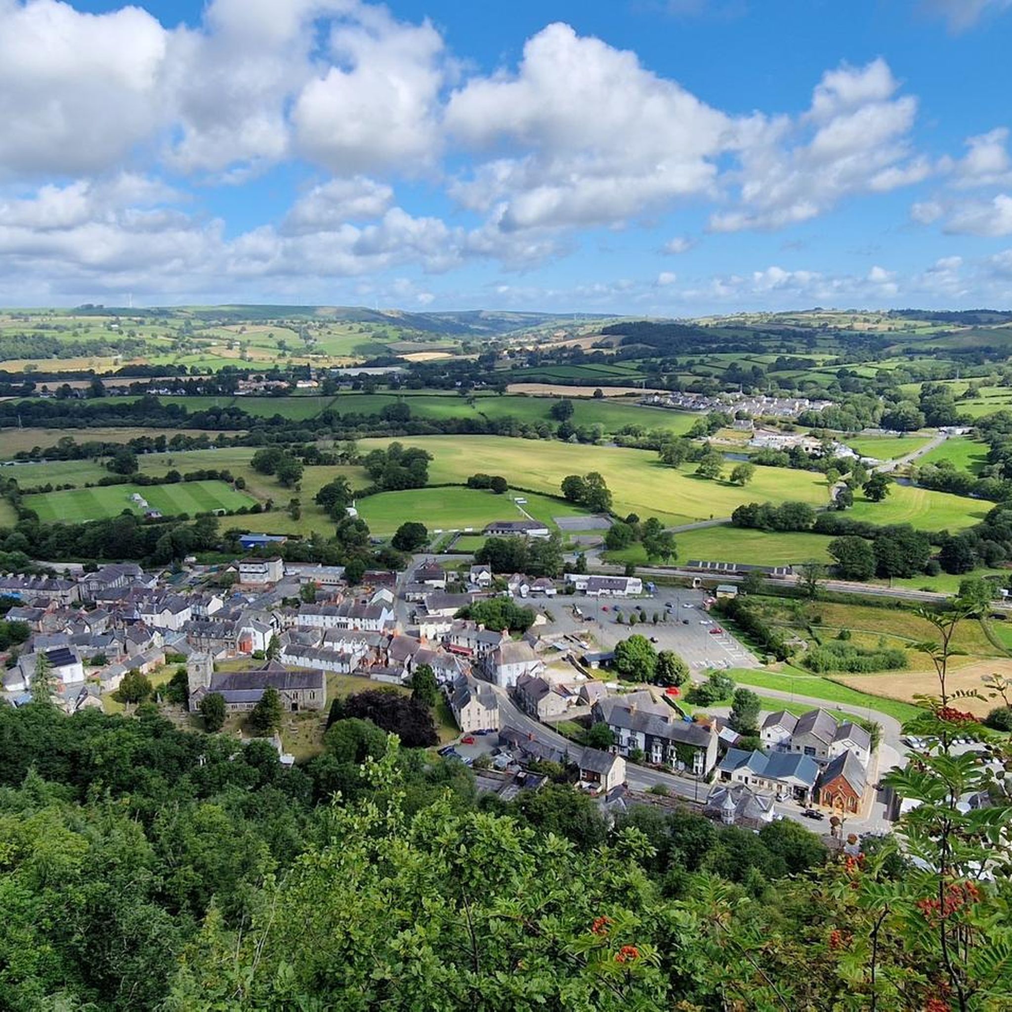
Follow the switch back path to the top. The views are superb.
0
0

Not too technical and interesting climb from the gate at the top of the llandegla MTB climb. Straight up to the mast, swing left after it, and if you're lucky it will be bone dry like it was for us. My partner struggles on techy stuff, but this was fine. Awesome scenery, if you stop to look at it that is😉
0
0
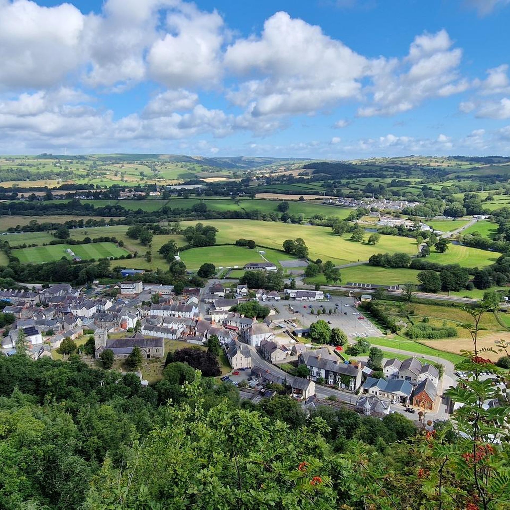
Though it was not a tough or technical ride, it did take me into territory I had never visited before and was a lovely antidote to the 'fleshpots' of Gwydir Forest or Coed-y-Brenin. Some lovely gentle singletrack, beautiful views and I didn't see another rider for the whole trip - although tbh I did set off at 08.30 on a Wednesday!!
1
0
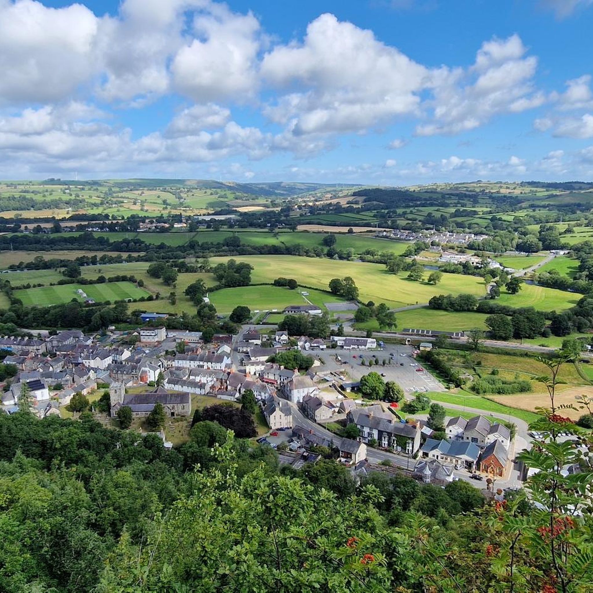
With stunning views of the fast-flowing River Dee, two hundred-year-old chain bridge & Llangollen’s popular steam railway, it is hard to think of a more beautiful setting in which to relax, explore & unwind.
5
0
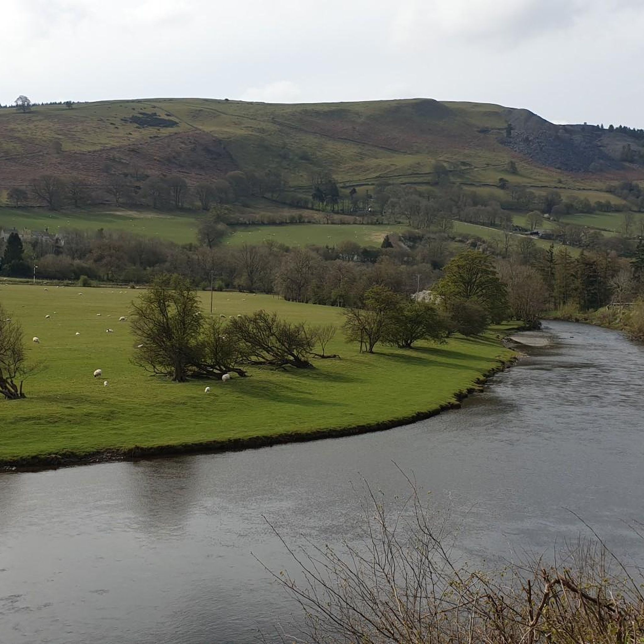
Stunning views of the River Dee very pieceful and beautiful on a sunny day
1
0
Frequently Asked Questions
What kind of mountain biking terrain can I expect around Gwyddelwern?
The region around Gwyddelwern, nestled within the Clwydian Range and Dee Valley National Landscape, offers diverse terrain. You'll find a mix of challenging climbs, technical singletrack, and exhilarating descents across hills like Mynydd-Rhŷd-Ddu and Bryn Gwenallt. Dense woodlands, such as Clocaenog Forest, provide shaded paths, while the scenic Dee Valley offers varied routes. The area is known for its rolling hills and varied topography, suitable for different skill levels.
How many mountain bike trails are available in the Gwyddelwern area?
Komoot features 9 mountain bike trails around Gwyddelwern. These routes cater primarily to moderate skill levels, with 8 moderate trails and 1 difficult trail, ensuring a good range of options for riders.
Are there any circular mountain bike routes near Gwyddelwern?
Yes, many of the trails around Gwyddelwern are circular. For example, you can explore the Wayfarer Loop, a 44.1 km moderate route, or the Llyn Brenig – Alwen Dam loop from Llanfihangel Glyn Myfyr, which is 46.4 km long. Another option is the Alwen Dam – Llyn Brenig loop from Derwen, covering 50.4 km through reservoir landscapes and woodlands.
What are some notable landmarks or viewpoints I might encounter on the trails?
Mountain biking around Gwyddelwern offers access to several interesting landmarks and viewpoints. You might pass by the scenic Horseshoe Pass (Bwlch yr Oernant), known for its challenging climbs and rewarding scenery. The region also features impressive viewpoints like Moel Fferna and Moel Y Gamelin, offering panoramic views of the surrounding landscapes.
Are there any family-friendly mountain bike trails in the Gwyddelwern area?
While the listed trails are mostly moderate to difficult, the wider region, including areas like Coed Llandegla Forest, offers custom-built trails for all ages and abilities, including family-friendly loops. For routes directly around Gwyddelwern, consider shorter, less technical sections of the moderate trails or explore the paths within Clocaenog Forest, which can be less demanding.
What do other mountain bikers enjoy most about Gwyddelwern?
The mountain biking experience around Gwyddelwern is highly rated by the komoot community, with an average score of 4.4 stars. Riders often praise the varied terrain, the stunning views of the Clwydian Range and Dee Valley National Landscape, and the sense of adventure offered by the challenging climbs and descents.
Can I access mountain bike trails near Gwyddelwern using public transport?
Gwyddelwern is a rural village, and direct public transport access to specific trailheads might be limited. While some regional bus services operate, planning your journey in advance is recommended. Many riders opt for personal vehicles to reach starting points, especially for routes that delve deeper into the Clwydian Range and Dee Valley National Landscape.
Are there any mountain bike trails that feature water bodies like lakes or rivers?
Yes, several routes incorporate water features. The Llyn Brenig – Alwen Dam loop from Llanfihangel Glyn Myfyr and the Alwen Dam – Llyn Brenig loop from Derwen both explore the areas around Llyn Brenig and Alwen Dam, offering views of these reservoirs. Additionally, the World's End, Eglwyseg Valley – Horseshoe Falls loop from Carrog passes near the scenic Dee Valley and the River Dee.
What is the best time of year for mountain biking in Gwyddelwern?
The Clwydian Range and Dee Valley National Landscape, where Gwyddelwern is located, offers good mountain biking conditions for much of the year. Spring and autumn typically provide pleasant temperatures and vibrant scenery. Summer is also popular, though trails can be busier. Winter riding is possible but be prepared for colder, potentially wetter conditions and shorter daylight hours, especially on higher ground.
Are there options for shorter mountain bike rides around Gwyddelwern?
While many routes are longer, you can find shorter options. For instance, the View of Llyn Brenig – Forest Mountain Bike Trails loop from Bod Petryal Cottage is a moderate 23.7 km ride, typically taking under 2 hours. This route offers a good balance of distance and scenic forest trails without committing to a full-day excursion.
Where can I find amenities like cafes or pubs near the mountain bike trails?
Gwyddelwern itself is a small village. For amenities like cafes and pubs, you might need to venture to nearby towns such as Corwen or Ruthin. Dedicated mountain biking centers in the wider region, like Coed Llandegla Forest, also offer facilities including cafes and bike shops, which can be a good stop before or after a ride.
Most popular routes around Gwyddelwern
Most popular attractions around Gwyddelwern

Get inspired with the komoot mobile app


Explore more
Browse the best MTB trails in other regions.
