Blennerhasset And Torpenhow
Blennerhasset And Torpenhow
Top 14 Natural Monuments around Blennerhasset And Torpenhow
Best natural monuments around Blennerhasset And Torpenhow are situated in a rural setting, close to the Lake District National Park and the Solway Coast Area of Outstanding Natural Beauty. The region features numerous fells and other natural formations that offer panoramic views and hiking opportunities. These natural landmarks provide insights into the diverse landscapes of Cumbria.
Best natural monuments around Blennerhasset And Torpenhow
- The most popular natural monument is Skiddaw Summit, a natural monument described as a sprawling behemoth…
Last updated: July 1, 2026
Skiddaw Summit
Highlight • Natural Monument
Tip by

Summit cairn on Little Sca Fell
Highlight • Viewpoint
Tip by

Sign up now to discover places like this
Get recommendations on the best single tracks, peaks, & plenty of other exciting outdoor places.
Sign up for free
Meal Fell summit
Highlight • Natural Monument
Tip by
Lowthwaite Fell
Highlight • Viewpoint
Tip by
Dash Falls
Highlight • Natural Monument
Tip by

Sign up for free to discover even more natural monuments around Blennerhasset And Torpenhow.
Sign up for free
Already have an account?
Start today with a free account
Your next adventure awaits.
Login or Signup
Popular around Blennerhasset And Torpenhow
Tips from the Community

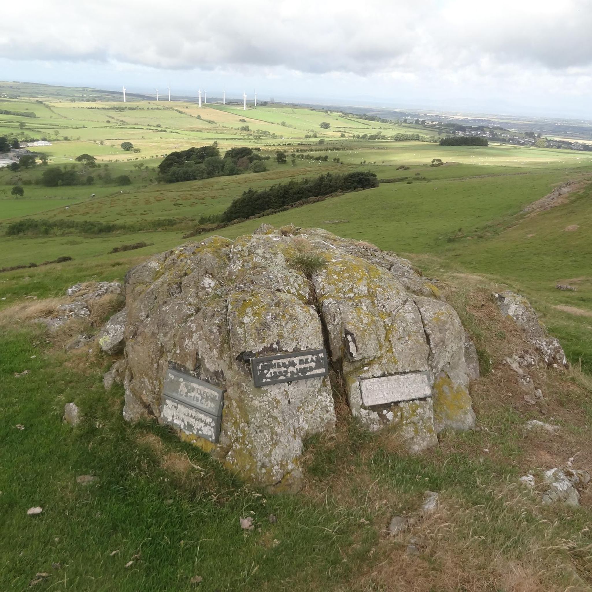
A Fell that connects Longlands Fell, Brae Fell previous to it. And also onwards to Great Sca Fell. A grassy route with views of the Back 'O Skiddaw range
0
0

Both decent options between Skiddaw South Top and Skiddaw, south west heading towards Carl Side, require sure footedness and appear rather treacherous as you head off the top down the scree.
1
0

Skiddaw is frequently dismissed as dull and featureless. In the right conditions however, its (comparitively) smooth contours appear to soften the harsh, bleak summit plateau. The boundary between land and sky starts to become less distinct and it takes on an eerie stillness.
1
0

Skiddaw is a prominent mountain in the Lake District National Park in Cumbria, England, and Carl Side is one of the subsidiary peaks along the ridge leading to Skiddaw. Here's some information about the Skiddaw via Carl Side route: Route Description: The ascent of Skiddaw via Carl Side is a popular hiking route. It often begins at the Latrigg car park and ascends via Carl Side, providing stunning views of the surrounding Lake District landscape. Carl Side Summit: Carl Side is a fell (mountain or hill) situated to the southeast of Skiddaw. While not as high as Skiddaw, it offers fantastic panoramic views of the surrounding valleys and fells. Scenic Landscape: The route to Skiddaw via Carl Side takes hikers through a diverse landscape, including grassy slopes and rocky terrain. The scenery becomes increasingly dramatic as you ascend, offering picturesque views of Derwentwater and the Keswick area. Skiddaw Summit: Skiddaw itself is the fourth-highest mountain in England, standing at 931 meters (3,054 feet). The summit provides breathtaking views of the Lake District, the Pennines, and, on clear days, even the Scottish mountains. Hiking Difficulty: While the route is popular, it's important to note that the ascent can be challenging, particularly in adverse weather conditions. Hikers should be prepared for changing weather, and the ascent can be steep in places. Access Points: The Latrigg car park near Keswick is a common starting point for this hike. From there, the trail takes you up Carl Side and eventually to Skiddaw's summit. Weather Considerations: As with any mountain hike, it's crucial to check weather conditions before setting out and be prepared for changes in weather, especially during winter when conditions can be more challenging. Duration: The duration of the hike can vary based on individual hiking speed and conditions. It's advisable to plan for a full day, especially if you want to take your time to enjoy the scenery. Always ensure you are well-prepared with appropriate gear, including sturdy hiking boots, warm clothing, and navigation tools. Additionally, it's a good idea to let someone know your hiking plans and estimated return time for safety.
2
1

A beautiful waterfall with pools for dipping higher up.
1
0

Standing 930m above sea level, Skiddaw is well worth the hike. There is a reasonable amount of ascent but nothing technical. The fell can be climbed from Keswick (15km) or from the car park.
2
0

Well a Wainwrights, Hewitt, Nuttall, Marilyn and a 600m prominent peak to boot. My first time here and I must say an outing to do all of the Skiddaw group summits in a day is a superb outing.
0
0
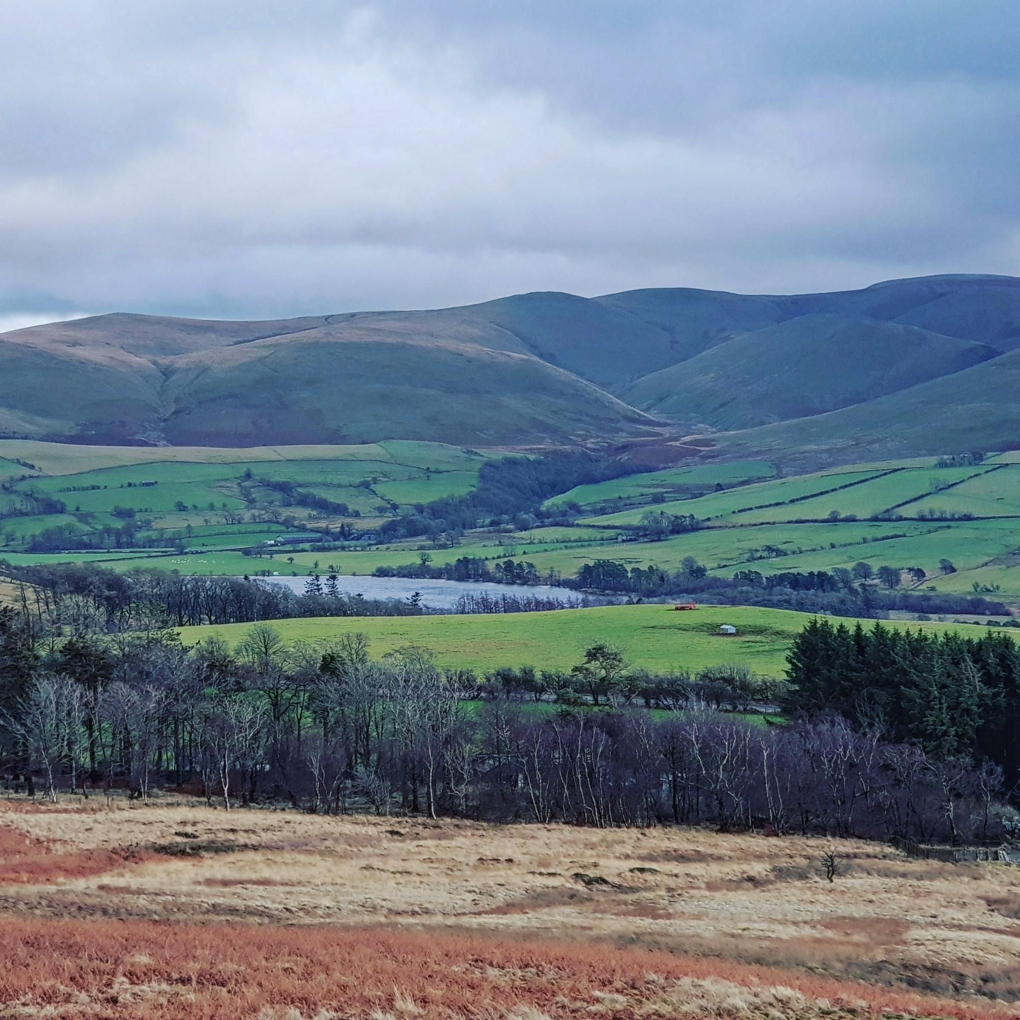
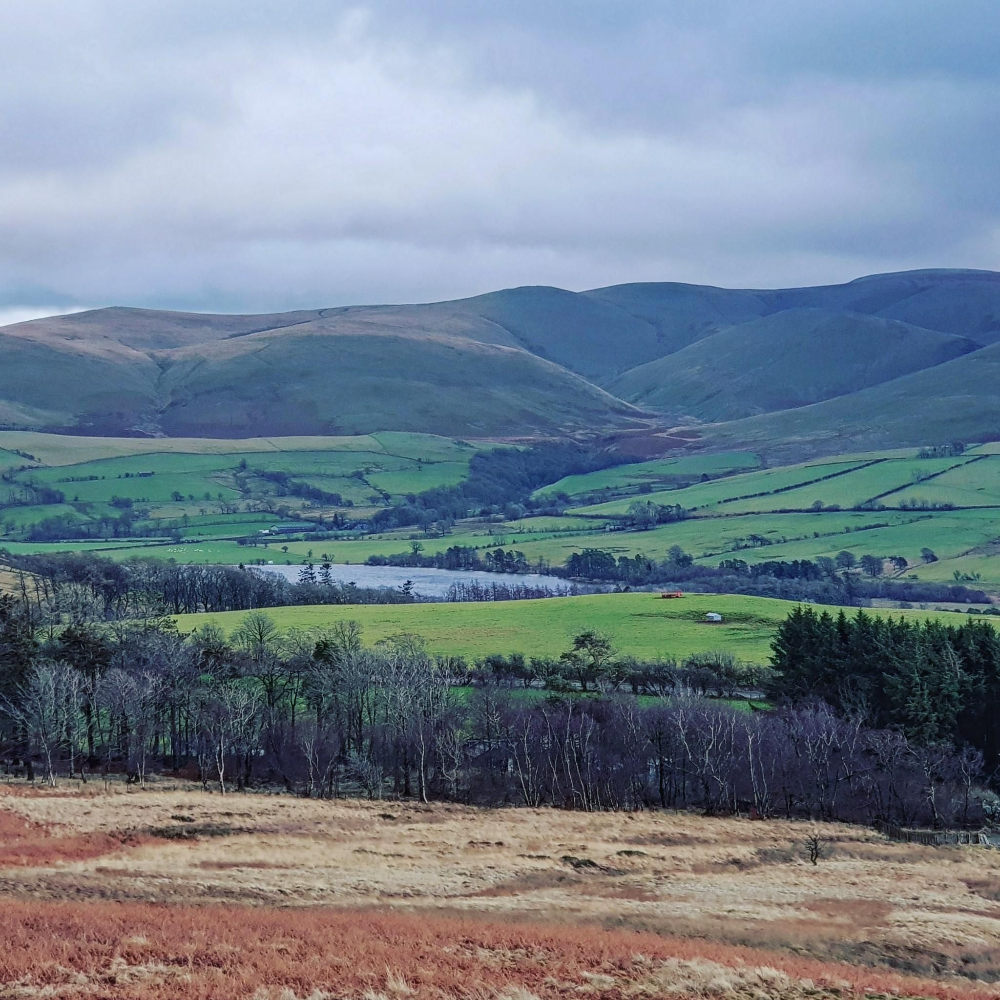
Another little hill in the area that has commanding views of the beautiful surrounding undulating scenery.
0
0
Frequently Asked Questions
What are some of the most prominent natural monuments to visit near Blennerhasset and Torpenhow?
The region is home to several notable natural monuments, primarily fells and summits offering spectacular views. Among them, Skiddaw Summit stands out as a sprawling mountain providing phenomenal views of the Lakeland fells. Other popular spots include Meal Fell summit, a Wainwright with a large wind shelter and clear views of Skiddaw, and Rivings Summit Cairn, offering lovely views across to Sale Fell, Skiddaw, and Barf.
Are there any natural monuments suitable for less strenuous walks or families?
Yes, Binsey Summit, though not listed in the highlights, is a smaller, freestanding hill north of Bassenthwaite Lake. It's considered one of the easiest Wainwrights to climb, yet it delivers wonderful views across Lakeland, making it an excellent option for families or those seeking impressive views without an overly strenuous ascent.
What kind of views can I expect from the natural monuments in this area?
From the summits like Skiddaw, you can expect panoramic vistas of the Lakeland fells to the south. Little Sca Fell offers delightful views of the Back O'Skiddaw fells. From Binsey Summit, on a clear day, views extend not only to the western Lakeland fells but also to the Solway Firth, Dumfries & Galloway, and even the Isle of Man.
Are there any waterfalls among the natural monuments?
Yes, Dash Falls is a notable natural monument in the area. It's a series of cascades where the Dash Beck tumbles between the shoulders of Great Calva and Bakestall. It's a conspicuous sight on the Cumbria Way, known for its grand succession of falls.
What outdoor activities can I do near these natural monuments?
The area around Blennerhasset and Torpenhow offers a variety of outdoor activities. You can find numerous mountain hikes, including routes to summits like Skiddaw and Brae Fell. There are also road cycling routes and running trails that allow you to explore the scenic landscapes.
What makes the 'Back o' Skiddaw' area special?
The 'Back o' Skiddaw' area, which includes natural monuments like Meal Fell summit and Little Sca Fell, is known for being particularly wild and remote. It offers a sense of solitude and provides excellent views of the larger Skiddaw range.
What do visitors enjoy most about the natural monuments around Blennerhasset and Torpenhow?
Visitors frequently highlight the rewarding panoramic vistas from the summits, especially on clear days. The diverse landscapes, from the barren and rocky top of Skiddaw to the charming cascades of Dash Falls, are highly appreciated. The komoot community has shared over 230 photos and given more than 360 upvotes, reflecting the area's appeal.
Is there a natural monument that is part of a classic ridge walk?
Yes, Ullock Pike, while not in the provided highlights, is a natural monument known for its 'classic ridge' walk. It offers fantastic views of Bassenthwaite Lake, the fells around Derwentwater, and on clear days, the sea and Scottish hills. It's often part of a path that takes in several Wainwrights.
What is the best time of year to visit the natural monuments?
The Lake District, where these natural monuments are located, is beautiful year-round. However, for hiking and clearer views, late spring to early autumn (May to October) generally offers the most favorable weather conditions. Always be prepared for changeable weather, as conditions can shift rapidly in the fells.
Are there any natural monuments that are also recognized as 'Wainwrights'?
Yes, several natural monuments in the area are recognized as Wainwrights, which are fells described by Alfred Wainwright in his pictorial guides. Meal Fell summit is a Wainwright, and Brae Fell (another prominent fell in the Northern Fells) is also a Wainwright. Binsey Summit is also considered one of the easiest Wainwrights to climb.
Where can I find parking for natural monuments like Binsey Summit?
While specific parking details for each monument are not provided, fan-out queries suggest interest in parking for Binsey Summit. Generally, for fells in the Lake District, designated parking areas or roadside parking can be found near popular trailheads. It's advisable to check local information or hiking guides for specific parking locations before your visit.
What should I wear when hiking to these natural monuments?
Given the varied terrain and changeable weather in the Lake District, it's essential to wear appropriate hiking gear. This includes sturdy waterproof hiking boots, layered clothing (including waterproof and windproof outer layers), and a hat and gloves, even in warmer months. Always carry enough water, snacks, and a map or GPS device.
Most popular routes around Blennerhasset And Torpenhow
Most popular attractions around Blennerhasset And Torpenhow

Get inspired with the komoot mobile app


Explore more
Extend your search for the best caves by checking out these guides of the top ones around Blennerhasset And Torpenhow:
