Top 11 Natural Monuments around Oxnam Water
Best natural monuments around Oxnam Water are found within the Scottish Borders, an area characterized by its diverse geology and varied landscapes. Oxnam Water itself is a tributary of the River Tweed, flowing through a valley with hills, forests, and country lanes. The region's geology includes Lower Palaeozoic greywackes and Devonian/Carboniferous sandstones, contributing to its scenic beauty. The area offers views of the Cheviot Hills and provides opportunities for observing wildlife.
Best natural monuments around Oxnam Water
- The most popular…
Last updated: October 17, 2026
Summit of Windy Gyle
Highlight • Viewpoint
Tip by

Lilliard's Stone and Lilliot Cross
Highlight • Historical Site
Tip by
Sign up now to discover places like this
Get recommendations on the best single tracks, peaks, & plenty of other exciting outdoor places.
Rubers Law Summit and Trig Point
Highlight • Viewpoint
The black toposcope placed on top of …
Tip by

The Three Kings Stone Circle
Highlight • Natural Monument
Tip by
Bonchester Hill Cairn
Highlight • Historical Site
Stunning views of the area from …
Tip by
Sign up for free to discover even more natural monuments around Oxnam Water.
Already have an account?
Start today with a free account
Your next adventure awaits.
Tips from the Community

The climb itself is breathtaking and largely pathless.
1
0

Some say Maid Lilliard fought at Lilliard’s Edge during the Battle of Ancrum Moor to avenge her slain lover, while others believe she sought revenge for her lost family. According to legend, she either killed the ruthless English leaders Sir Ralph Evers and Sir Brian Laiton or rallied the outnumbered Scots to victory. After the battle, searchers found her body near the fallen English leaders. Though badly injured, she was recognized by her golden hair and white plume. Whether she truly struck down Laiton remains unknown, but she was given an individual burial, and a memorial was later erected in her honor.
0
0

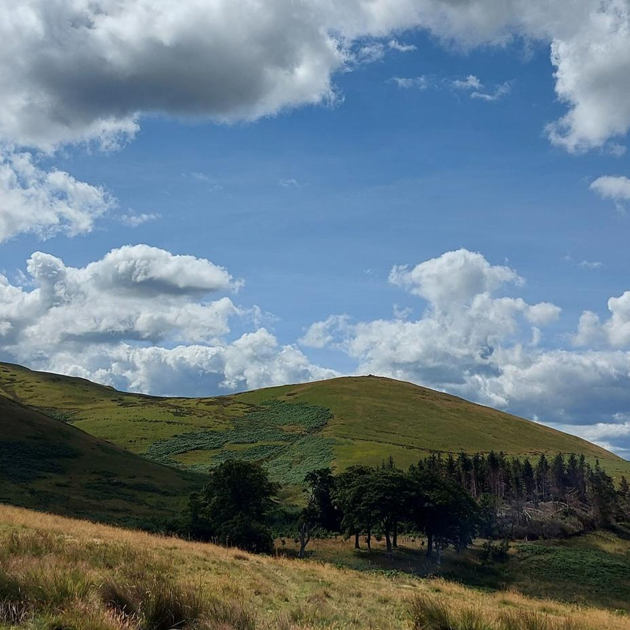
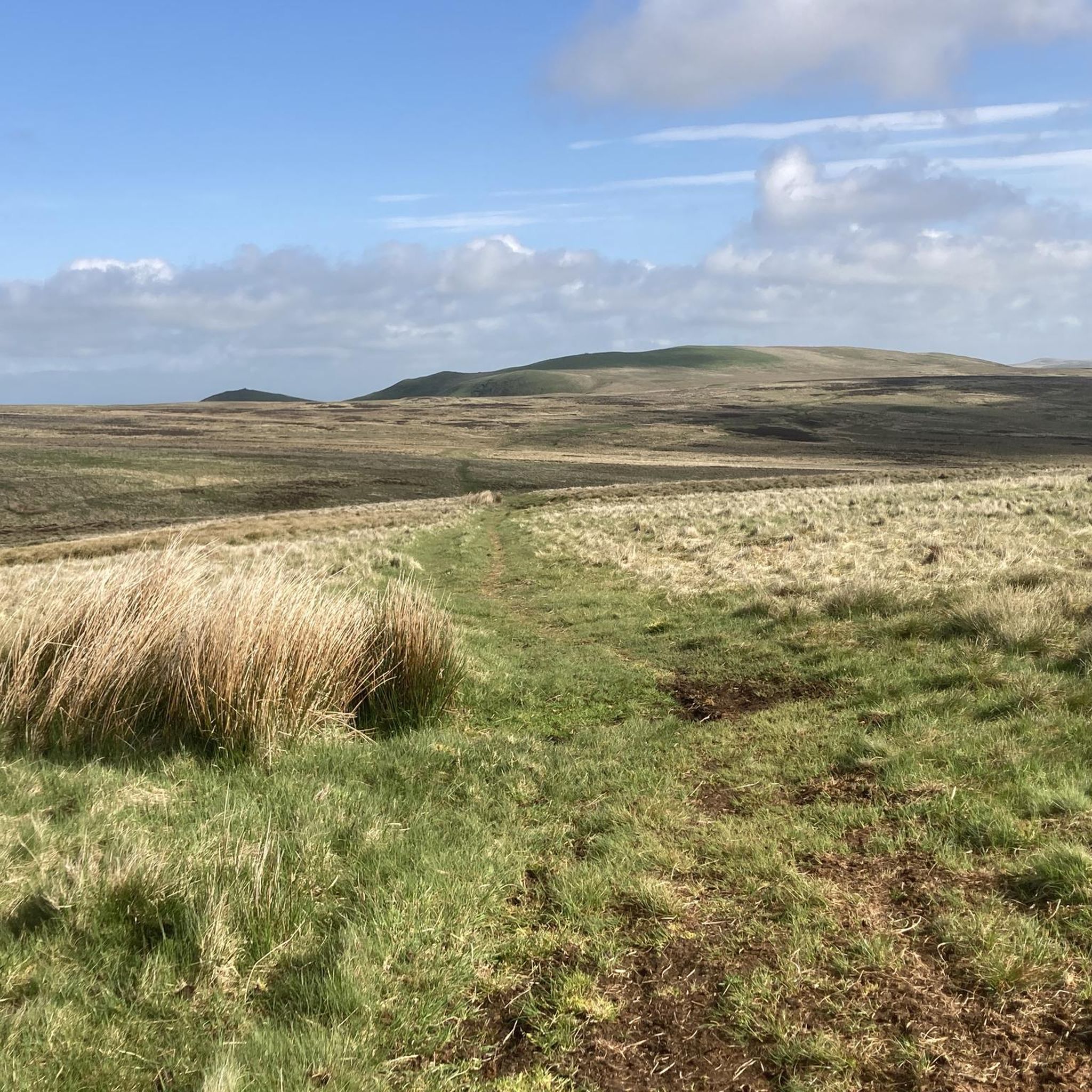
This is the summit of Windy Gyle 619mtrs. Approaching this hill you start to be amongst the clouds and visibility becomes less. It can be windy and wet but was not too bad on the day of the trail in late September 2024
0
0

A great spot is to sit on the trigg point and take the 360 views in which is absolutely stunning,one of my favorite places to hike and you will not be disappointed 😀
1
0
Windy gyle. one of the most stunning views you will see in Northumberland 360.
0
0

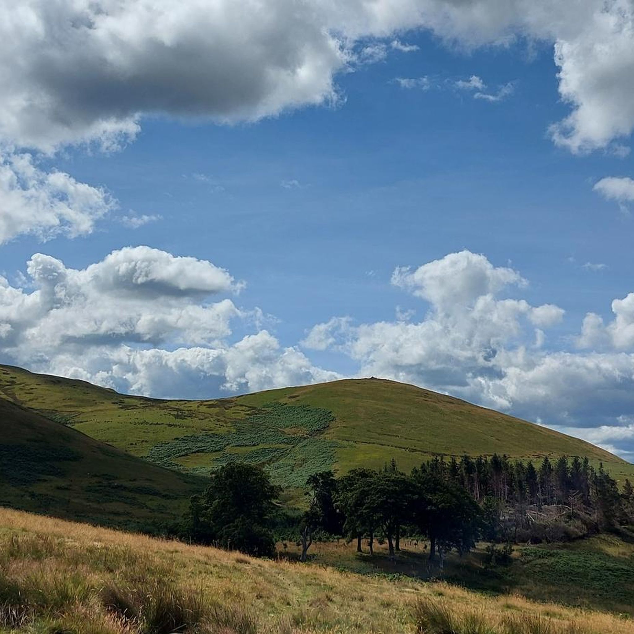
This hill (323m), with a cairn, overlooks the village of Bonchester Bridge; it is also the site of a fort, so of archeological interest. Stunning views of the area from up here: you will see the summits of Rubers Law and Black Law, but I am sure the Eildon Hills will draw your keen eyes first!
1
0
This lovely hill (424m), south of Denholm, has a hill fort and was a Roman signal station. Fantastic, far-reaching views in all directions. The black toposcope placed on top of the triangulation pillar here identifies many of the hills / landmarks visible from up here.
1
0

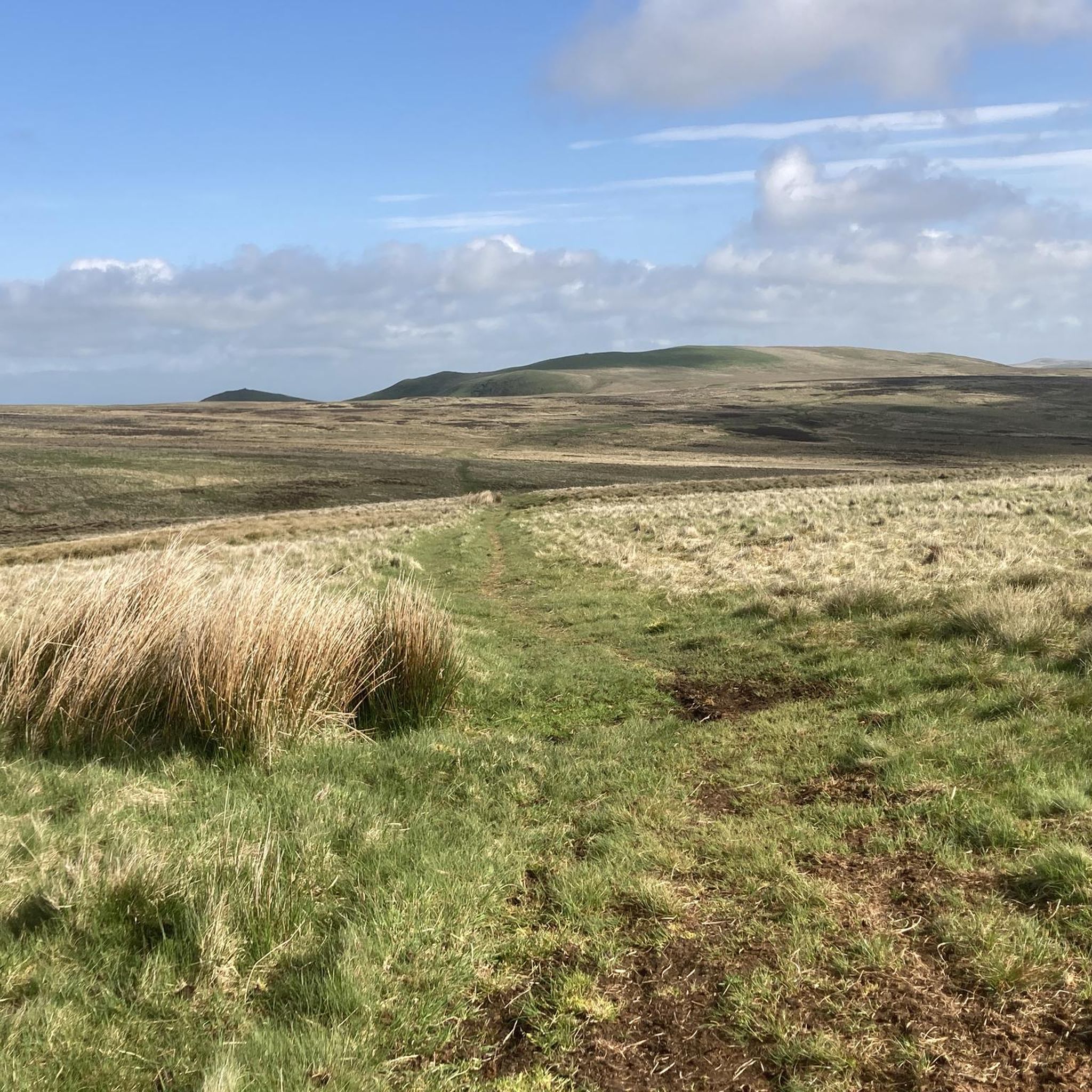
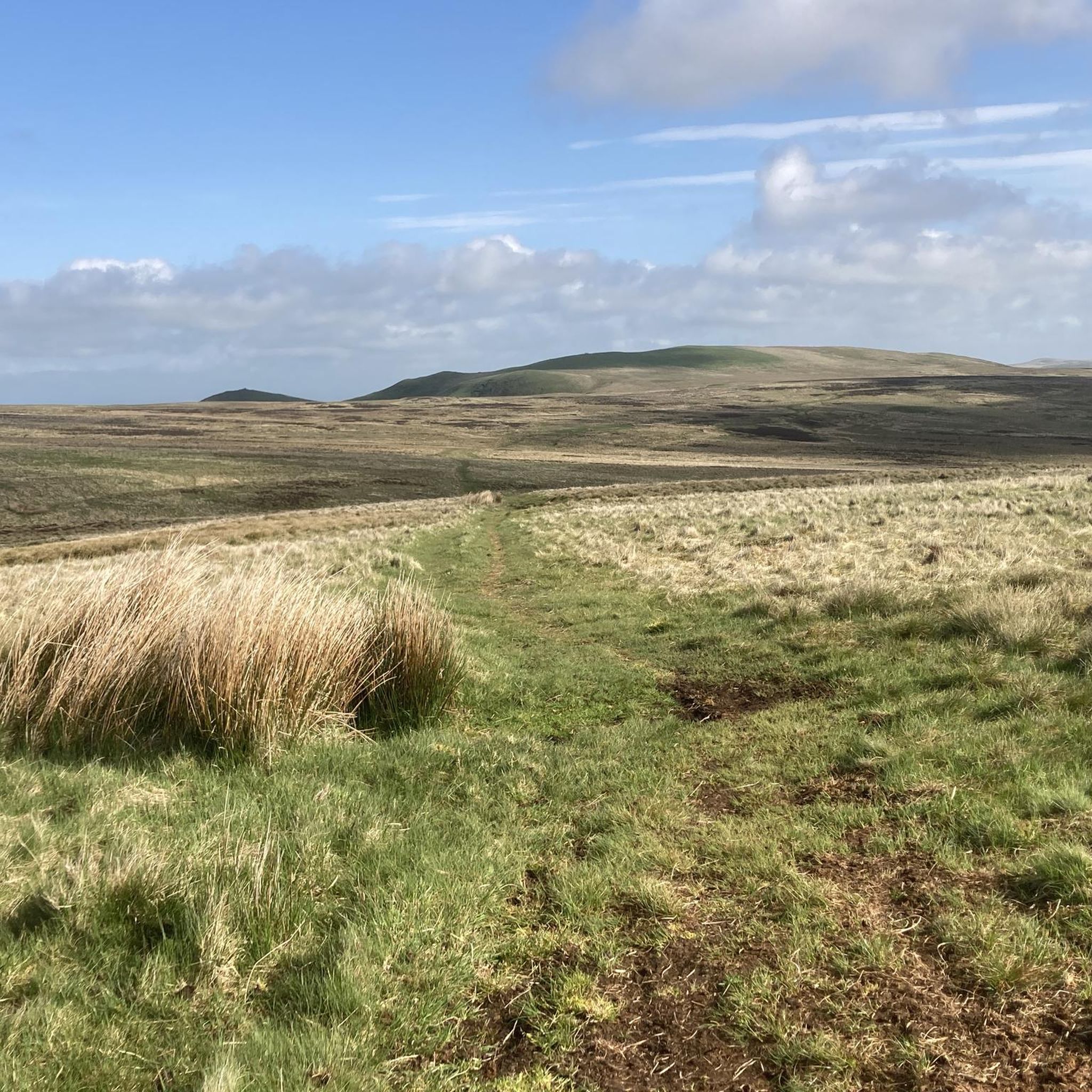
Windy Gyle is the highest summit (although not quite the highest point) on the Anglo-Scottish border, with its trig point standing at 619m. Russell's Cairn, large enough to shelter several people, is thought to have been a Bronze Age burial site. Windy Gyle lies on an awesome ridge down from the Cheviot, connected by a flagstone trail that mostly protects you from the seemingly endless bog - this is the Pennine Way as it passes the summit on the way north to the Kirk Yetholm.
0
0
Frequently Asked Questions
What are some notable natural monuments to visit around Oxnam Water?
The area around Oxnam Water features several significant natural monuments. You can explore the Summit of Windy Gyle, which offers expansive views over Scotland and the Cheviot Hills from its 619 m peak, topped with a Bronze Age burial cairn. Another must-see is Rubers Law Summit and Trig Point, a 424 m hill with far-reaching views, also known for its hill fort and Roman signal station history. Don't miss Lilliard's Stone and Lilliot Cross, a historical site and natural monument linked to the Battle of Ancrum Moor.
Are there any ancient historical sites among the natural monuments?
Yes, many natural monuments in the Oxnam Water area have significant historical connections. For instance, the Summit of Windy Gyle features Russell’s Cairn, a Bronze Age burial site. Rubers Law Summit and Trig Point was once a hill fort and a Roman signal station. You can also visit Lilliard's Stone and Lilliot Cross, located beside the Dere Street Roman road, which is associated with the Battle of Ancrum Moor. Additionally, The Three Kings Stone Circle is a Bronze Age monument with three standing stones.
What kind of views can I expect from the natural monuments?
The natural monuments around Oxnam Water offer stunning panoramic views. From the Summit of Windy Gyle, you can see across Scotland and the Cheviot Hills. Rubers Law Summit and Trig Point provides fantastic, far-reaching views in all directions, with a toposcope identifying visible landmarks. Bonchester Hill Cairn also offers breathtaking views of the surrounding area, including Rubers Law, Black Law, and the Eildon Hills.
What types of outdoor activities can I do near these natural monuments?
The Oxnam Water area is excellent for various outdoor activities. You can find numerous routes for cycling, mountain biking, and hiking. For cycling, explore options like the 'Denholm and Lilliesleaf Cycle Route' or the 'Oxnam and Nisbet Border Loop' found in the Cycling around Oxnam Water guide. Mountain biking enthusiasts can check out trails such as 'Windy Gyle & Harbottle loop' or 'Chestercleuch Plantation loop' in the MTB Trails around Oxnam Water guide. For hikers, there are easy routes like those around Jedburgh in the Easy hikes around Oxnam Water guide.
Are there easy walks to natural monuments suitable for families?
While some natural monuments involve intermediate climbs, the wider Oxnam Water area offers family-friendly walking opportunities. You can find easy hikes around Jedburgh, such as the 'Jedburgh Castle and Jail and Jedburgh Abbey loop,' which are generally short and accessible. These routes allow families to enjoy the natural beauty and historical context of the region without strenuous effort. For specific easy routes, refer to the Easy hikes around Oxnam Water guide.
What is the geology like around Oxnam Water?
The geology of the Scottish Borders, including the Oxnam Water area, is quite diverse. It's characterized by Lower Palaeozoic greywackes in the upland regions, with Devonian and Carboniferous sandstones and mudstones found in the lower Tweed valley. This geological variety, shaped by ancient volcanic activity and glacial erosion, contributes to the region's varied and often dramatic scenery, including interesting formations along the Oxnam Water valley.
What kind of wildlife can be seen near the natural monuments?
The Scottish Borders, encompassing the Oxnam Water area, supports a rich diversity of wildlife. Along the rivers, you might spot otters, dippers, and grey wagtails. The woodlands and wider habitats are home to various bird species. The region's diverse ecosystems, including wetlands and lochs, also host unique flora and fauna, making it a rewarding destination for wildlife observation.
What are some tips for visiting the Summit of Windy Gyle?
The Summit of Windy Gyle is a rewarding climb offering breathtaking views. It stands at 619 m and is topped with Russell’s Cairn, a Bronze Age burial site. A good starting point for your ascent is the carpark at Windyhaugh, near Barrowburn. Be prepared for a good climb to enjoy the extensive views over Scotland and the Cheviot Hills.
What is the significance of Lilliard's Stone?
Lilliard's Stone and Lilliot Cross is a historical site located beside the Dere Street Roman road. It's famously associated with the Battle of Ancrum Moor in 1545, where the Scottish Army achieved victory against a larger English force. Local legends tell of a maiden named Lilliard who fought bravely in the battle to avenge her fallen lover, though historical evidence for this specific tale is scarce.
What do visitors appreciate most about the natural monuments around Oxnam Water?
Visitors to the natural monuments around Oxnam Water highly appreciate the stunning views, the rich historical context, and the opportunities for outdoor exploration. The combination of ancient sites like Bronze Age cairns and Roman signal stations with dramatic landscapes, such as the Cheviot Hills, makes for a unique experience. The komoot community has contributed over 60 photos and given more than 40 upvotes, highlighting the area's appeal.
Is the Oxnam Water valley itself a natural feature worth exploring?
Yes, the Oxnam Water valley itself is a significant natural feature. It provides a rich variety of natural beauty, with hills, forests, and country lanes that are ideal for walking and exploring throughout the year. The confluence of Oxnam Water with other streams often reveals interesting geological formations, shaped by glacial meltwater erosion, adding to the scenic appeal of the area.
Most popular attractions around Oxnam Water

Get inspired with the komoot mobile app


Explore more
Extend your search for the best caves by checking out these guides of the top ones around Oxnam Water:
