The best running trails around Oxnam Water
4.9
(5)
309
runners
54
runs
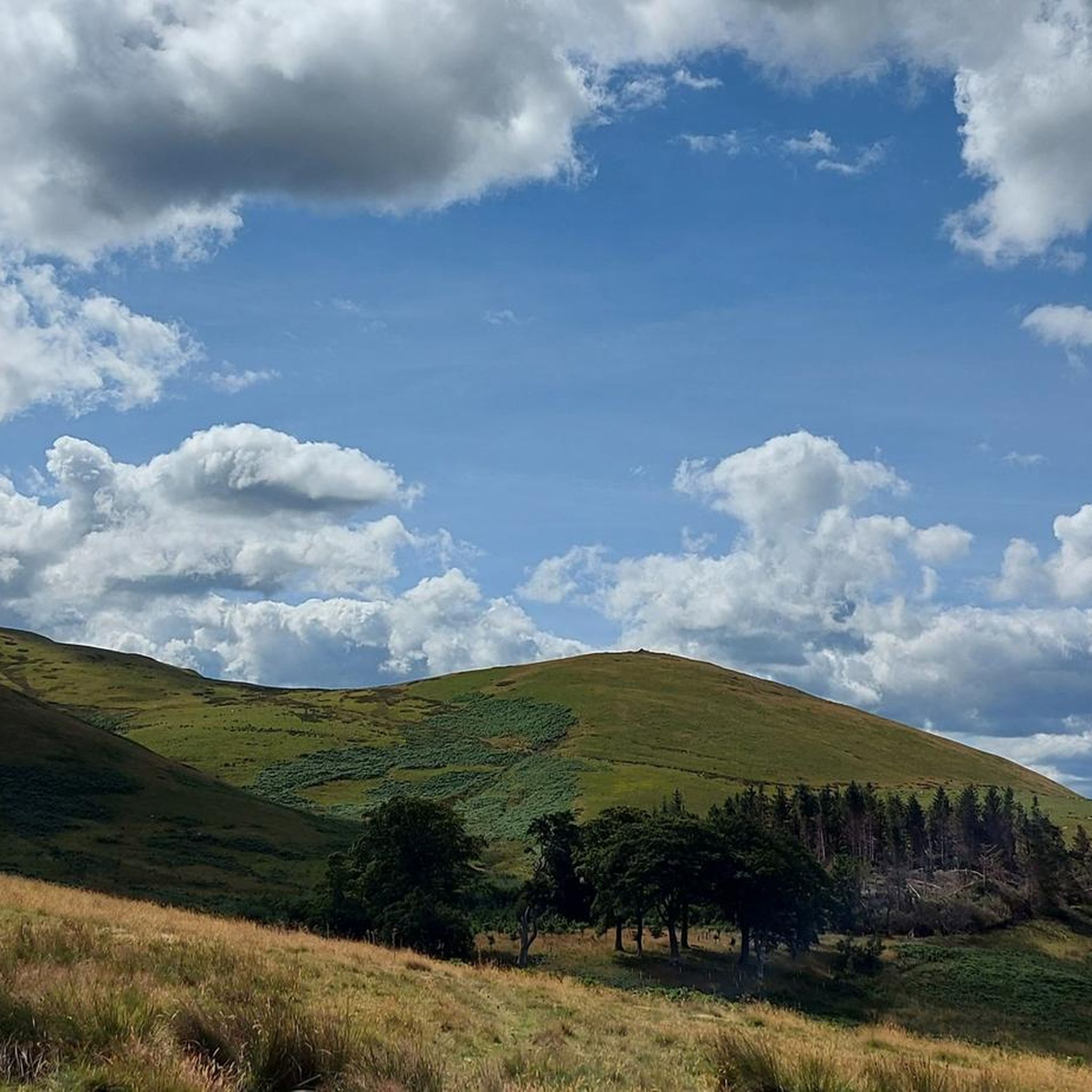
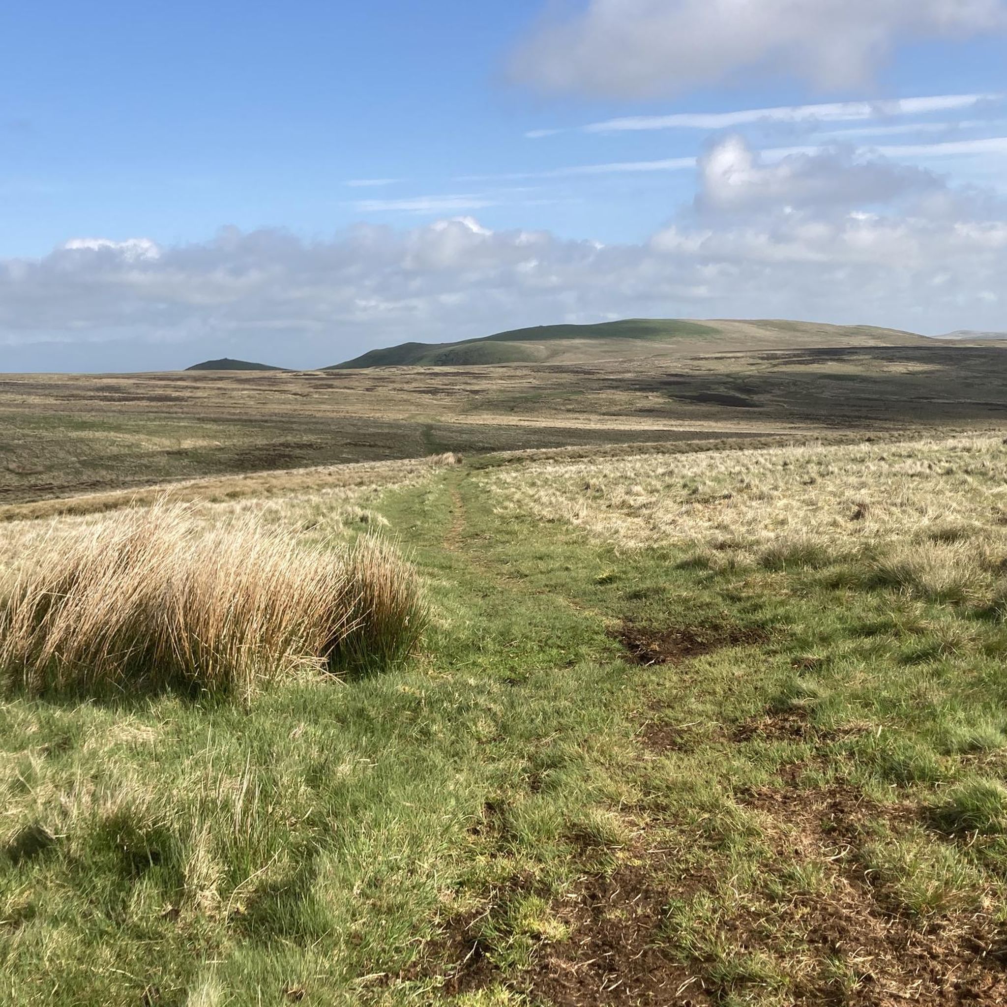
Jogging around Oxnam Water offers routes through the rolling hills and river valleys of the Scottish Borders. The landscape features a mix of open farmland, forested sections, and paths alongside the Oxnam Water itself. Runners can expect varied terrain, from gentle riverside trails to more challenging ascents on local hills, providing diverse options for running routes.
Best jogging routes around Oxnam Water
- The most popular jogging route is Dryburgh Suspension Bridge – Eildon Hill North loop from Jedburgh, a…
Last updated: September 2, 2026
20
runners
60.7km
06:56
970m
970m
Hard run. Very good fitness required. Mostly paved surfaces. Suitable for all skill levels.
16
runners
10.3km
01:05
90m
90m
Moderate run. Good fitness required. Mostly paved surfaces. Suitable for all skill levels.

Sign up for free
11
runners
6.39km
00:41
80m
80m
Moderate run. Good fitness required. Mostly paved surfaces. Suitable for all skill levels.
13
runners
13.0km
01:22
150m
150m
Moderate run. Good fitness required. Mostly paved surfaces. Suitable for all skill levels.
11
runners
5.13km
00:32
30m
30m
Moderate run. Good fitness required. Mostly paved surfaces. Suitable for all skill levels.
Get access to more routes and recommendations from other explorers.
Sign up for free
Already have an account?
Our route recommendations are based on thousands of hikes, rides, and runs completed by other people on komoot.
Start today with a free account
Your next adventure awaits.
Login or Signup
Tips from the Community

This facility was intended for individuals committing petty crimes and vagrancy.
0
0

this exists irl and it did not collapse when we cycled over it. it made an interesting and exciting noise as we rode across
0
0


If you are visiting the Dryburgh Abbey in the Scottish Borders, you might want to cross the Dryburgh Suspension Bridge* over the River Tweed. This footbridge was first built in 1817as the first chain bridge in Scotland, but it was blown down twice and replaced by a steel wire cable suspension bridge in 1911. The bridge has a span of about 260 feet and offers scenic views of the river and the surrounding landscape. The bridge was refurbished in the early 1990s and is open to the public.
1
0

Eildon Hill North is an historic, photogenic and widely visible landmark in the Scottish Borders. At 1325 feet (404 m) this peak is the second highest of the three Eildon (pronounced ‘Eeldon’) Hills located just south of Melrose. The significance of Eildon Hill North was recognised by Bronze Age and Iron Age peoples and by the Romans. This peak was the site of the largest Iron Age hill fort in Scotland. Up to 2000 people are thought to have lived here at the same time. Today the pockmarks from hundreds of roundhouse platforms and nearly 1-mile of defences are still visible. When the Romans came in about 80 AD they built their mighty garrison fort called ‘Trimontium’ (named after the three Eildon peaks) immediately below Eildon Hill North and also placed a signal station on this summit. Trimontium was the largest Roman settlement north of Hadrian’s Wall. The short but steep climb up Eildon Hill North is well worth the effort! On a clear day you will be rewarded with stunning views. The popular St Cuthbert’s Way that runs from Melrose Abbey to Holy Island in Northumberland climbs over the col in the Eildon Hills and provides a pleasant way up Eildon Hill North.
2
0
Frequently Asked Questions
How many running routes are available around Oxnam Water?
There are nearly 60 running routes around Oxnam Water, offering a wide range of options for different fitness levels. You'll find everything from easy riverside paths to more challenging hill climbs.
Are there any easy running trails suitable for beginners or a relaxed jog?
Yes, Oxnam Water offers several easy running trails. For a gentle option, consider the War Memorial – Abbey Bridge Cafe loop from Jedburgh, which is just 2.8 miles (4.5 km) long and relatively flat, perfect for a relaxed jog.
What kind of terrain can I expect on the jogging routes in the Oxnam Water area?
The terrain around Oxnam Water is quite varied. You can expect a mix of open farmland, forested sections, and paths that follow the Oxnam Water itself. Routes range from gentle riverside trails to more challenging ascents on local hills, providing diverse running experiences.
Are there any circular running routes around Oxnam Water?
Many of the running routes in the area are circular, allowing you to start and finish in the same location. A popular moderate option is the War Memorial – Jedburgh Market Place loop from Jedburgh WwTW, which covers 6.4 miles (10.2 km) and offers a mix of urban and natural scenery.
What are some interesting landmarks or viewpoints I might see while running near Oxnam Water?
The region is rich in historical sites and natural beauty. You might encounter landmarks such as the Lilliard's Stone and Lilliot Cross, or enjoy panoramic views from the Rubers Law Summit and Trig Point. The Waterloo Monument on Peniel Heugh also offers a notable point of interest.
Are the running trails around Oxnam Water suitable for families?
While some routes are more challenging, there are family-friendly options. Shorter, flatter trails, particularly those close to towns like Jedburgh, are generally more suitable for families. Always check the route's distance and elevation profile to ensure it matches your family's capabilities.
What do other runners say about the trails in Oxnam Water?
The running trails in Oxnam Water are highly regarded by the komoot community, with an average rating of 5.0 stars. Runners often praise the varied terrain, the scenic beauty of the Scottish Borders, and the peaceful atmosphere of the routes.
Can I find running routes that go through forested areas?
Yes, there are several routes that lead through woodland. The Pipergate Plantation loop from Jedburgh is a great example, offering a 4.0 miles (6.3 km) trail through forested sections, providing shade and a different running environment.
Are there any challenging long-distance running routes in the area?
For experienced runners looking for a challenge, the Dryburgh Suspension Bridge – Eildon Hill North loop from Jedburgh is a demanding option. This difficult route spans 37.6 miles (60.5 km) and features significant elevation gain, typically taking nearly 7 hours to complete.
What is the best time of year to go running around Oxnam Water?
Spring and autumn generally offer the most pleasant conditions for running in the Scottish Borders, with milder temperatures and beautiful scenery. Summer can also be excellent, though be prepared for potential midges. Winter running is possible, but trails may be muddy or icy, requiring appropriate gear.
Are there any running routes that pass by historical sites?
Absolutely. The region is steeped in history. For example, the Jedburgh Market Place – Jedburgh Abbey loop from Jedburgh will take you past the historic Jedburgh Abbey, offering a blend of exercise and cultural exploration.
What should I wear for running in the Oxnam Water region?
Given the variable weather in the Scottish Borders, it's best to dress in layers. Waterproof and windproof outer layers are advisable, especially during cooler months or on exposed sections. Sturdy trail running shoes are recommended for the mixed terrain, and always carry water and a map or GPS device.
Most popular routes around Oxnam Water
Most popular attractions around Oxnam Water

Get inspired with the komoot mobile app


Explore more
Browse the best Running Trails & Routes in other regions.
