gmina gmina gmina Strzelce Krajeńskie
gmina gmina gmina Strzelce Krajeńskie
Top 4 Natural Monuments around gmina gmina gmina Strzelce Krajeńskie
gmina gmina gmina Strzelce Krajeńskie’s landscape is a beautiful place to explore — something that you can best experience by visiting one of our 4
beautiful natural monuments around gmina gmina gmina Strzelce Krajeńskie. To help you find the one for, you can see all the details you need to explore the best natural monuments, and better plan your next outdoor adventure!
Last updated: June 29, 2026
Wilhelm II Boulder
Highlight • Monument
Translated by Google •
Tip by

Breitenstein Glacial Erratic
Highlight • Natural Monument
Before 1945 it was called Breitenstein - a wide boulder. Breite also means latitude (Breitengrad is a degree of latitude and Breitenkreis is a parallel), and the nearby village of Bobrówko was called Breitenstein before 1945.
Translated by Google •
Tip by

Sign up now to discover places like this
Get recommendations on the best single tracks, peaks, & plenty of other exciting outdoor places.
Sign up for free
Ruins of the Mill in Gorzowski Landscape Park
Highlight • Historical Site
Translated by Google •
Tip by
Sources of the Płonia River
Highlight • River
Translated by Google •
Tip by

Birdwatching Viewpoint at Lake Lubieszewko
Highlight • Viewpoint
Translated by Google •
Tip by

Start today with a free account
Your next adventure awaits.
Login or Signup
Popular around gmina gmina gmina Strzelce Krajeńskie
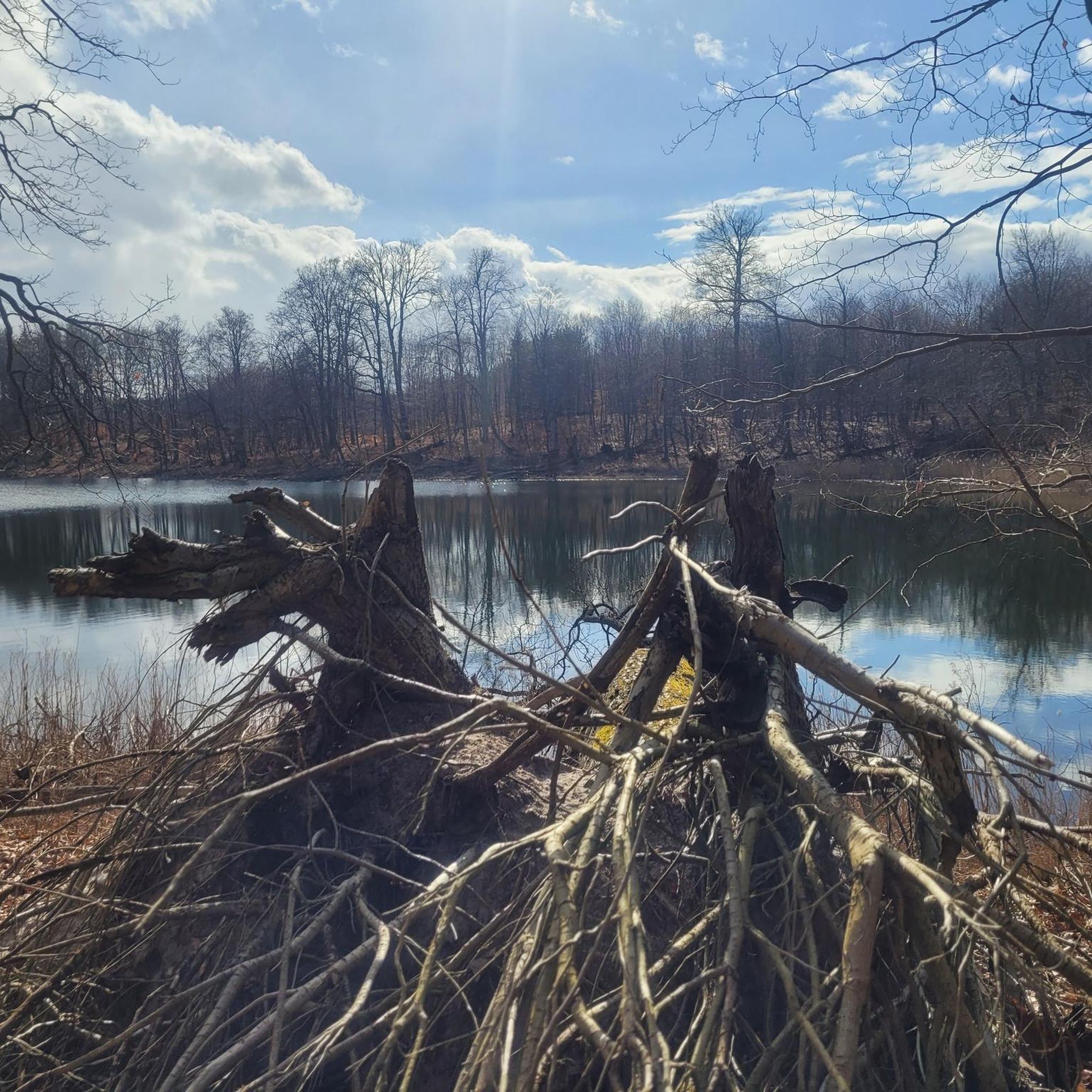
Hiking around gmina gmina gmina Strzelce Krajeńskie
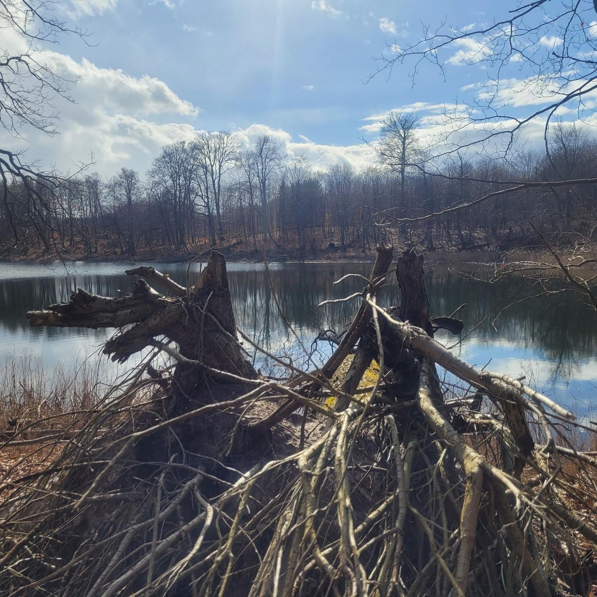
Cycling around gmina gmina gmina Strzelce Krajeńskie
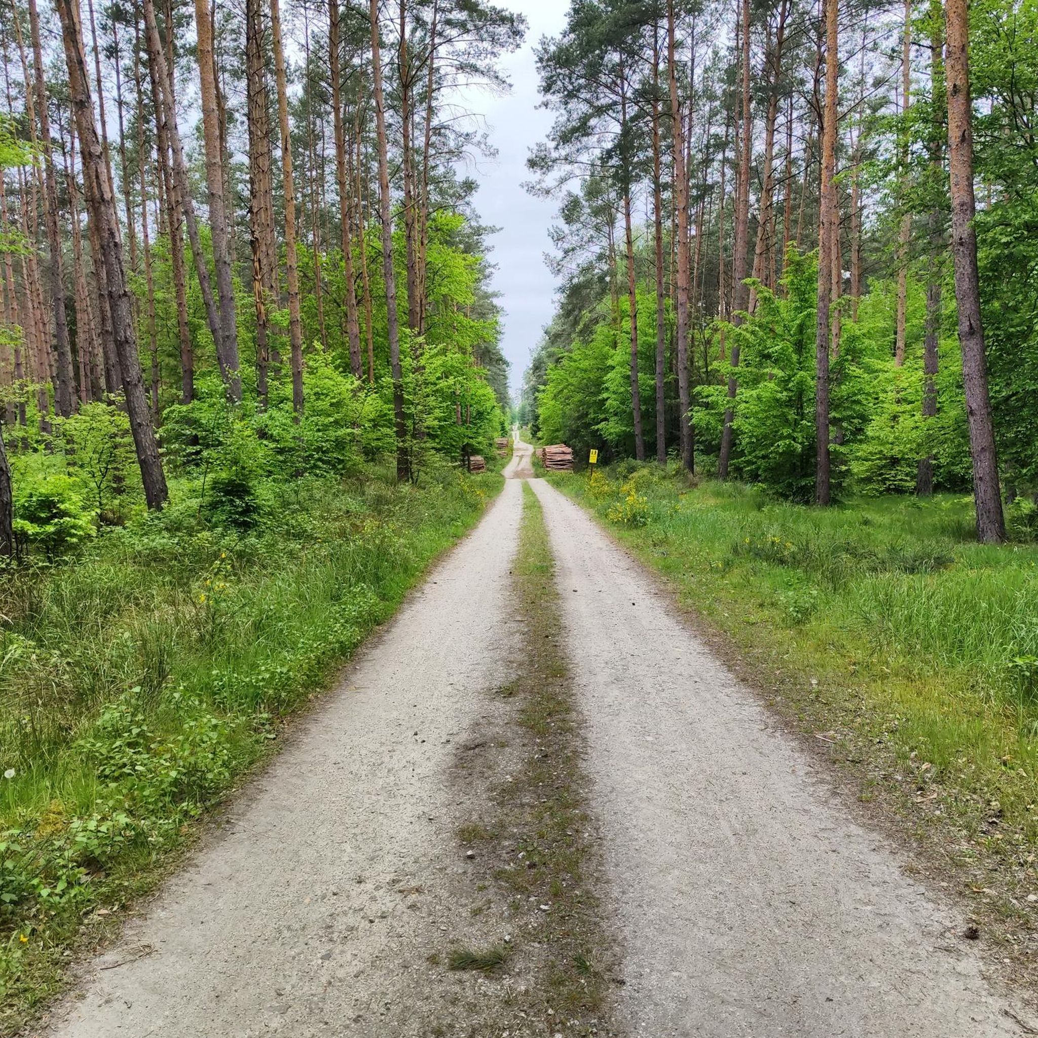
MTB Trails around gmina gmina gmina Strzelce Krajeńskie
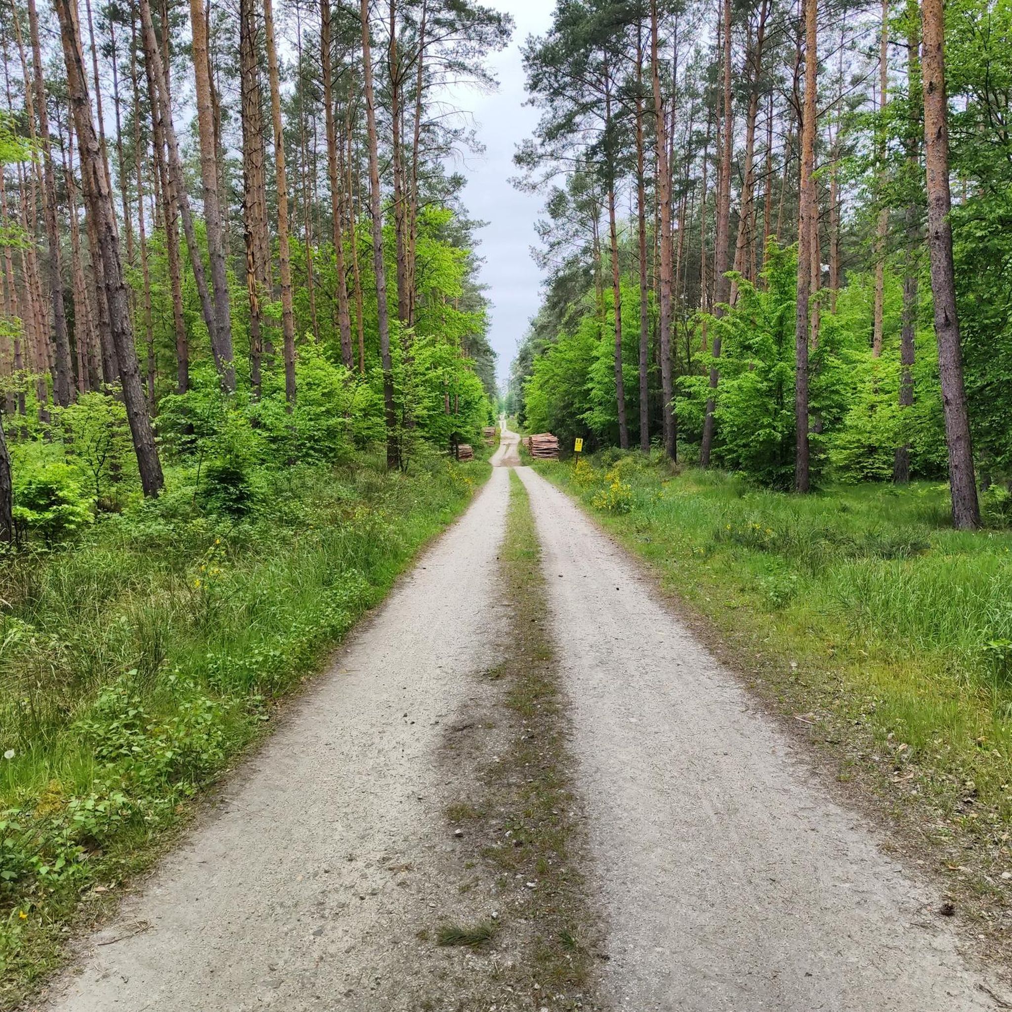
Road Cycling Routes around gmina gmina gmina Strzelce Krajeńskie

Gravel biking around gmina gmina gmina Strzelce Krajeńskie
Running Trails around gmina gmina gmina Strzelce Krajeńskie
Tips from the Community

ruins of the "Dolny Młyn" mill on the Polca river (another name for the stream is Pełcz)
0
0
The water surface in the fish ponds is at an altitude of 51.2 m above sea level, and the plateau adjacent to the ponds is at 99.6 m above sea level. This is almost a 50 m difference in levels. Erosion processes have carved out a spring cirque with a diameter of over 50 m from the slopes of the moraine. Its walls are cliffs 20 m high. The bottom of the cirque is lined with smaller and larger pebbles and stones, from between which water seeps everywhere, connecting dozens of small streams into one main stream - one of the source streams of the Płonia River. The gravel pit at the bottom of the spring cirque is the substrate for an alder forest of the spring alder type. Source: https://debno.treespot.pl/166-debno-zrodla-ploni
0
0

good access via fire roads
0
0

Birdwatching viewpoint
0
0
A beautiful viewing spot - unfortunately the entire view is blocked by trees :-) there are benches a bit further away and you can take a break.
0
0

The largest erratic boulder in the Lubusz Voivodeship. It is about 8 meters long and 4 meters wide. It protrudes about 1 meter above the ground. It is not known how much is hidden underground. Before 1945 it was called Breitenstein - a wide boulder. Breite also means latitude (Breitengrad is a degree of latitude and Breitenkreis is a parallel), and the nearby village of Bobrówko was called Breitenstein before 1945.
3
2

A forgotten boulder in the bushes on the hill. Inscription: "William II 1888-1913". Next to it there is a water tower, from the top of which you can see some of the panorama of Barlinek. At least in winter when there are no leaves.
2
0
The ruins of the mill by the forest road. There is a covered table here.
3
0
Most popular routes around gmina gmina gmina Strzelce Krajeńskie
Most popular attractions around gmina gmina gmina Strzelce Krajeńskie

Get inspired with the komoot mobile app


Explore more
Extend your search for the best caves by checking out these guides of the top ones around gmina gmina gmina Strzelce Krajeńskie:
