Shasta-Trinity National Forest
Shasta-Trinity National Forest
Top 20 Natural Monuments in Shasta-Trinity National Forest
Best natural monuments in Shasta-Trinity National Forest encompass 2.2 million acres, making it the largest National Forest in California. This expansive area features diverse landscapes, including volcanic mountains, pristine lakes, cascading waterfalls, and extensive river systems. These natural features contribute to the region's unique geography and offer varied opportunities for exploration. The forest is home to numerous notable landmarks and natural features.
Best natural monuments in Shasta-Trinity National Forest
- The most popular natural monuments is Middle McCloud Falls, a…
Last updated: September 28, 2026
Middle McCloud Falls
Highlight • Waterfall
Tip by

Mt Shasta summit 🌋 (4321m)
Highlight • Summit
For a winter snowshoe/crampon ascent route via Casaval Ridge and descent via standard Avalanche Gulch route see: komoot.com/tour/9090975
For an AT ski ascent …
Tip by
Sign up now to discover places like this
Get recommendations on the best single tracks, peaks, & plenty of other exciting outdoor places.
3-Level Ice cave - West Exit
Highlight • Cave
Tip by
Trails End at Castle Dome
Highlight • Viewpoint
Tip by

Black Butte Summit
Highlight • Summit
Tip by

Sign up for free to discover even more natural monuments in Shasta-Trinity National Forest.
Already have an account?
Start today with a free account
Your next adventure awaits.
Popular around Shasta-Trinity National Forest

Bigfoot Trail — Exploring the remote Klamath Mountains

The tour of your life – music trails on the Pacific coast
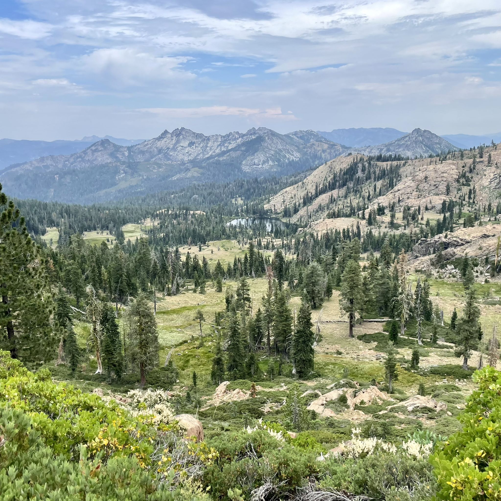
Hiking in Shasta-Trinity National Forest
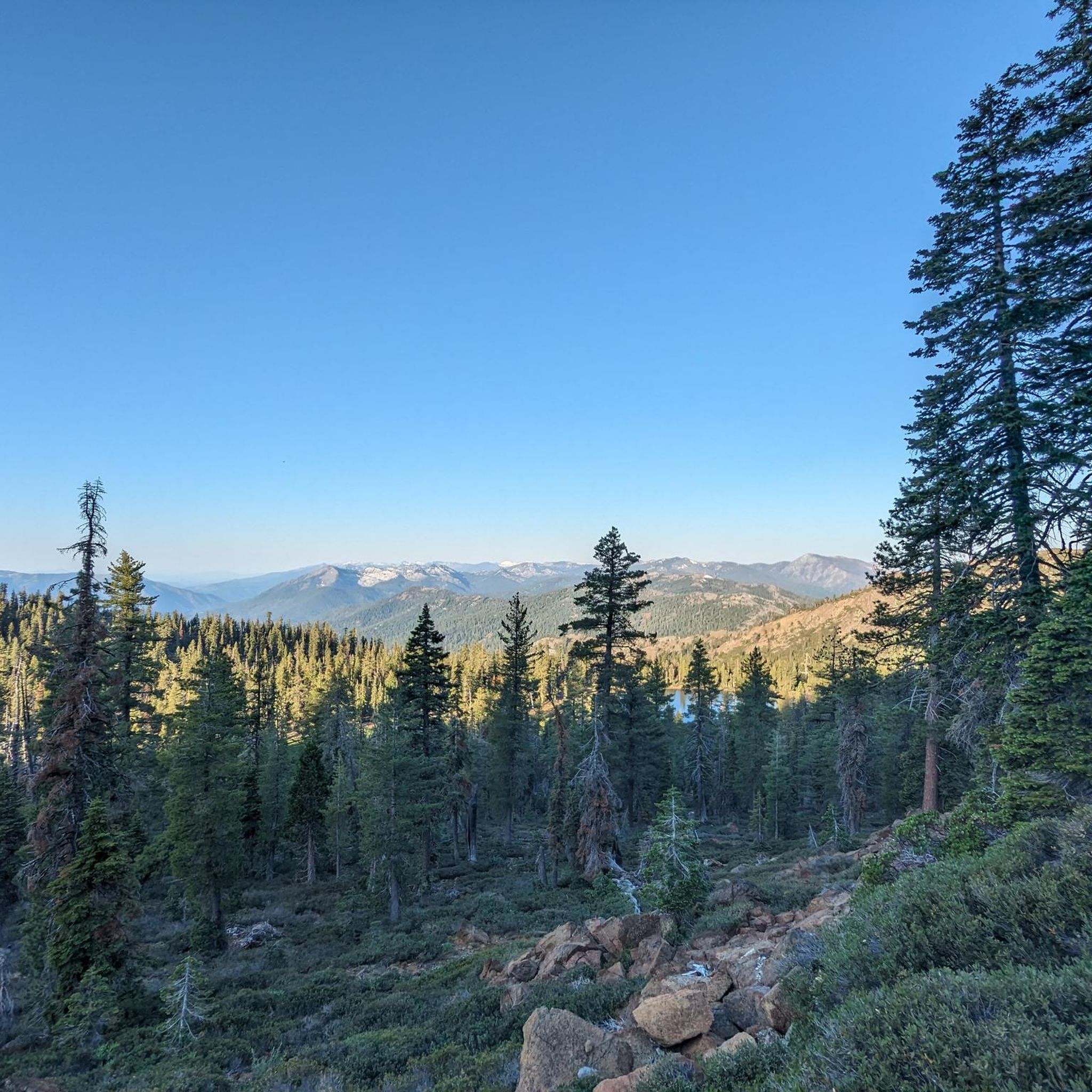
Cycling in Shasta-Trinity National Forest
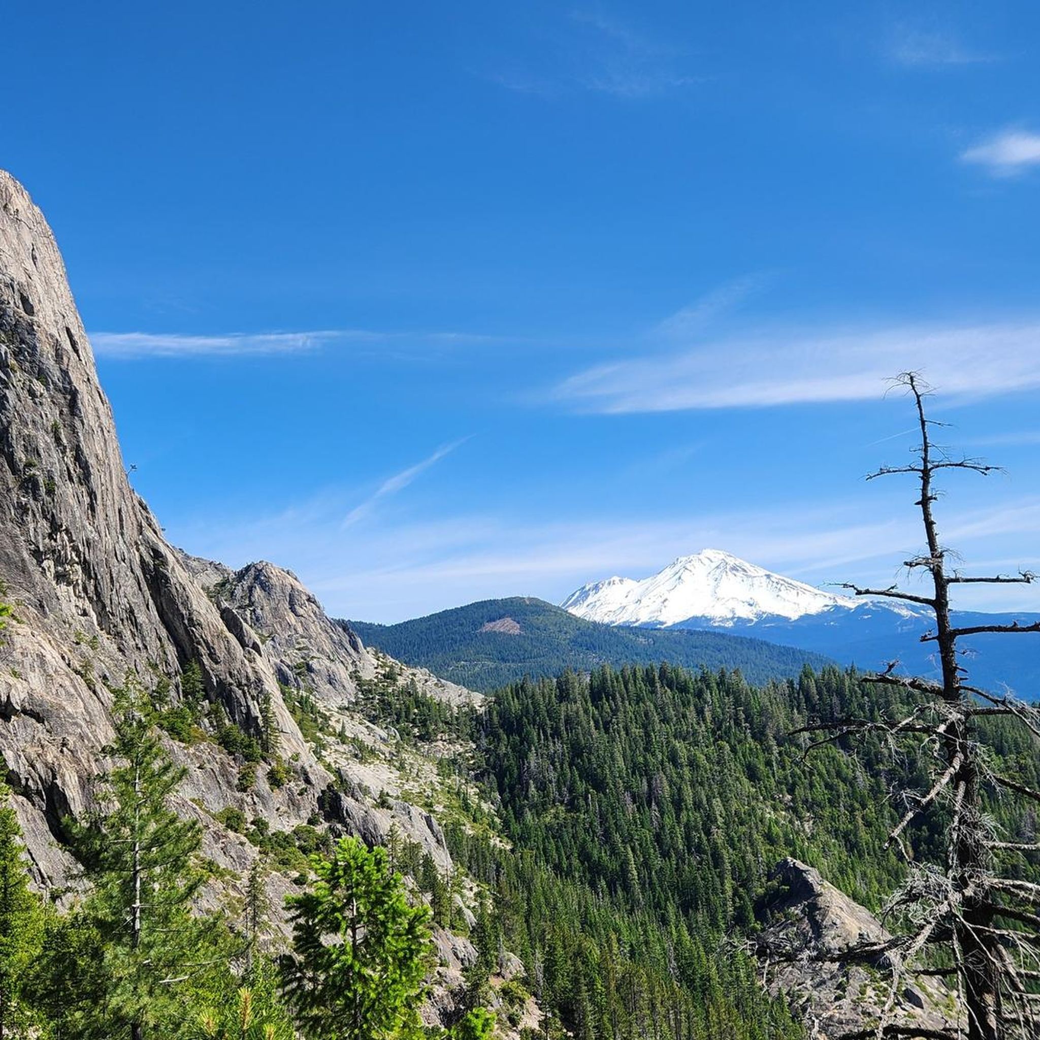
Road Cycling Routes in Shasta-Trinity National Forest

MTB Trails in Shasta-Trinity National Forest
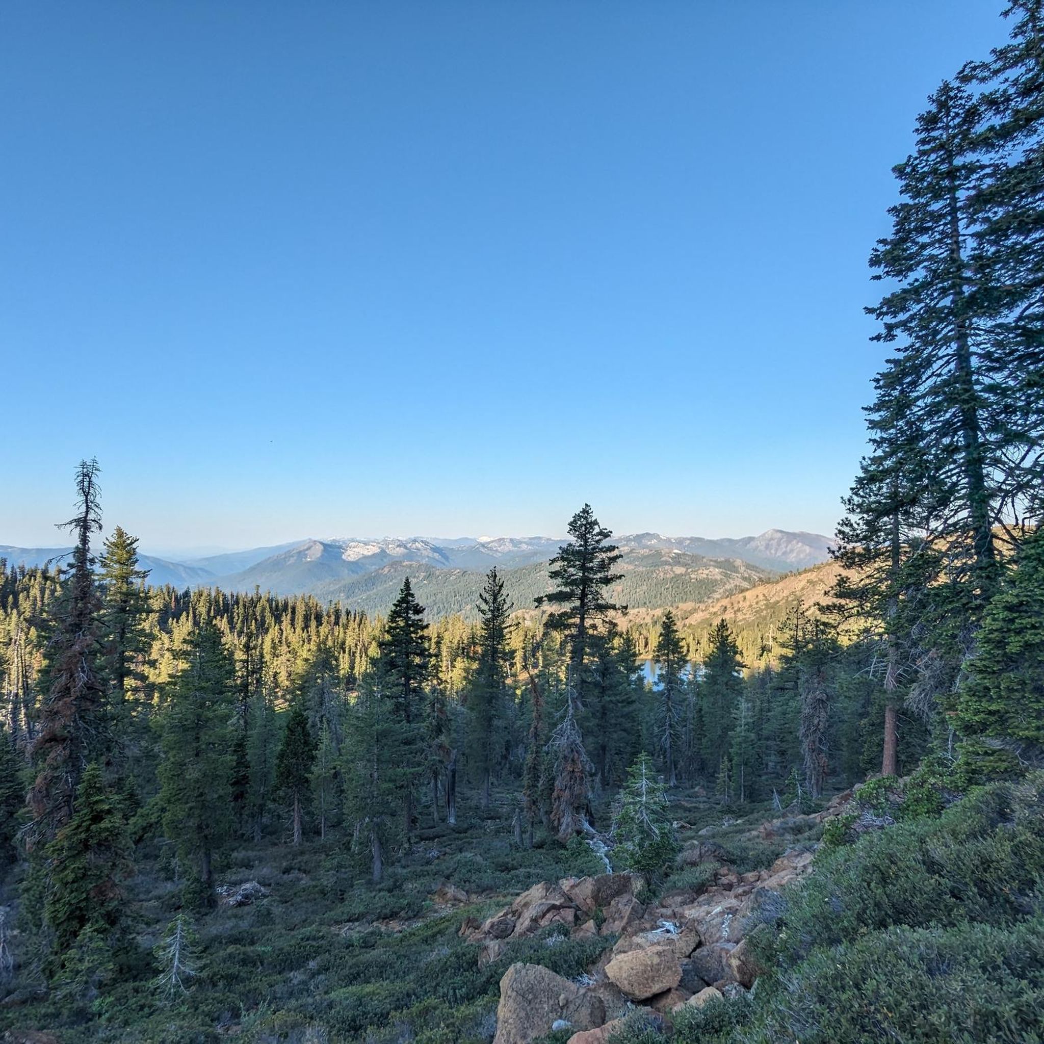
Running Trails in Shasta-Trinity National Forest
Other adventures in Shasta-Trinity National Forest


Tips from the Community

Though it might pale in comparison to Mount Shasta's grandeur, Black Butte is still a prominent landmark in southern Siskiyou County and it definitely captivates drivers with its conical shape as they approach it on Interstate 5. Hiking it to the top will allow you to get acquainted with its particular surface formed from viscous lava and it will also unveil the well-kept secret of its lush northern valley.
1
0

The end of the Crags Trail is marked by a sign on a tree, but you probably won't notice because you will be too busy marveling at the granite spires and views of Mt Shasta. Take time to explore the top as there is much to see here but watch for steep dropoffs.
0
0

In the fall you can literally hike up to the summit of this tallest free-standing mountain in the lower US via the eastern route without climbing or any snow. The standard Avalanche Gulch route would be too dangerous without snow due to frequent life-threatening rockfall.
2
1
Impressive waterfall deep below the Falls Trail which leads along the rim. A deep pool invites for swimming below the waterfall, while very high cliffs on the western side are used by some fearless cliff jumpers.
2
0
Ice-skating in hot summer deep underground in a volcanic lava cave? Yes, while it is over 100°F outside, some caves here preserve cold winter temperatures long into the summer, some throughout the year. This cave with a steep descent deep into a 7000 year-young lava tube cave, reaching down three levels, with large icicles and and underground frozen lake on the lowest level. The cave was formed by volcanic gas bubbling through liquid lava dunging the last eruption of a Modoc cascade volcano, and connects underground to the western side of Medicine Lake Road (highway 49). Warning: None of the many caves here have any signage or guidance, many are long with multiple confusing branches, narrow crawl/climbing sections, sudden deep drops, loose rock, water and ice underground. Only teams of experienced cavers with the right equipment should attempt exploration.
1
0
Tallest free standing Cascade volcano in California. For a winter snowshoe/crampon ascent route via Casaval Ridge and descent via standard Avalanche Gulch route see: https://www.komoot.com/tour/9090975 For an AT ski ascent and descent via West Face see: https://www.komoot.com/tour/9089213 For the least technical snow-free route via Clear Creek Trail see https://www.komoot.com/tour/277653983
2
0
Mount Shasta (Karuk: Úytaahkoo or "White Mountain") is a potentially active volcano located at the southern end of the Cascade Range in Siskiyou County, California. At an elevation of 14,179 feet (4321.8 m), it is the second highest peak in the Cascades and the fifth highest in California. Mount Shasta has an estimated volume of 85 cubic miles (350 km3), which makes it the most voluminous stratovolcano in the Cascade Volcanic Arc. Shasta dominates the northern California landscape. It rises abruptly and stands nearly 10,000 ft (3,000 m) above the surrounding terrain. On a clear winter day, snowy Mount Shasta can be seen from the floor of the Central Valley 140 miles (230 km) to the south. The mountain consists of four overlapping volcanic cones that have built a complex shape, including the main summit and the prominent satellite cone of 12,330 ft (3,760 m) Shastina, which has a visibly conical form. If Shastina were a separate mountain, it would rank as the fourth-highest peak of the Cascade Range (after Mount Rainier, Rainier's Liberty Cap, and Mount Shasta itself). Mount Shasta's surface is relatively free of deep glacial erosion except, paradoxically, for its south side where Sargents Ridge runs parallel to the U-shaped Avalanche Gulch. This is the largest glacial valley on the volcano, although it does not presently have a glacier in it. There are seven named glaciers on Mount Shasta, with the four largest (Whitney, Bolam, Hotlum, and Wintun) radiating down from high on the main summit cone to below 10,000 ft (3,000 m) primarily on the north and east sides. The Whitney Glacier is the longest, and the Hotlum is the most voluminous glacier in the state of California. Three of the smaller named glaciers occupy cirques near and above 11,000 ft (3,400 m) on the south and southeast sides, including the Watkins, Konwakiton, and Mud Creek glaciers. https://en.wikipedia.org/wiki/Mount_Shasta
1
0
Frequently Asked Questions
What are some of the most popular natural monuments to visit in Shasta-Trinity National Forest?
Visitors frequently enjoy the stunning Middle McCloud Falls, known for its impressive cascade and a deep pool perfect for swimming. Another highly regarded spot is Trails End at Castle Dome, which offers expansive views of granite spires and Mount Shasta. The iconic Mt Shasta summit 🌋 (4321m) is also a major draw for those seeking a challenging ascent and breathtaking panoramas.
What types of natural features can I explore in Shasta-Trinity National Forest?
The Shasta-Trinity National Forest is incredibly diverse. You can explore towering volcanic mountains like Mount Shasta, vast bodies of water such as Shasta Lake with its extensive shoreline, and dramatic granite formations like Castle Crags. The forest also features numerous cascading waterfalls, including the multi-tiered McCloud Falls, and unique geological sites like the Lake Shasta Caverns.
Are there family-friendly natural monuments in Shasta-Trinity National Forest?
Yes, several natural monuments are suitable for families. The trail to Middle McCloud Falls is generally accessible and enjoyable for all ages, with a swimming spot at the base. Shasta Lake offers various water-based activities like swimming and boating that families can enjoy. The Lake Shasta Caverns also provide a unique and engaging experience for families, including a catamaran ride.
What outdoor activities can I do near these natural monuments?
The area offers a wide range of outdoor activities. Near many natural monuments, you can find excellent hiking opportunities, from easy strolls to challenging climbs. Water activities like boating, swimming, and fishing are popular at Shasta Lake. For those interested in cycling, there are numerous road cycling routes, including loops around Lake Siskiyou. You can find more details on specific routes in the Hiking in Shasta-Trinity National Forest and Road Cycling Routes in Shasta-Trinity National Forest guides.
Are there challenging hikes or climbs to natural monuments?
Absolutely. The ascent to the Mt Shasta summit 🌋 (4321m) is a challenging endeavor, attracting over 15,000 summit attempts annually. The Trinity Alps Wilderness also offers rugged terrain with jagged peaks and deep canyons, ideal for experienced backpackers and mountain climbers. Additionally, the 3-Level Ice cave - West Exit is described as challenging due to its steep descent and complex underground environment.
What is the best time of year to visit the natural monuments in Shasta-Trinity National Forest?
The best time to visit largely depends on the activity. Summer and early fall are ideal for hiking, water sports on Shasta Lake, and exploring most natural monuments. For climbing Mount Shasta, late spring to early fall offers more favorable conditions, though winter provides opportunities for skiing and snowboarding on its slopes. Waterfalls are often most impressive in spring with snowmelt.
Can I find unique geological formations or caves in the forest?
Yes, the forest is rich in unique geology. The 3-Level Ice cave - West Exit is a fascinating volcanic lava tube cave with ice formations deep underground. The Lake Shasta Caverns National Natural Landmark also offers an intricate cave system with stalagmites and stalactites. Castle Crags features dramatic granite spires and domes, showcasing impressive geological forces.
Are there any viewpoints offering panoramic views of the natural monuments?
Many natural monuments double as excellent viewpoints. Trails End at Castle Dome provides expansive views of the granite spires and Mount Shasta. The Black Butte Summit also offers panoramic vistas of the surrounding landscape, including Mount Shasta. Scenic drives, such as the Everitt Memorial Highway on Mount Shasta, provide breathtaking views up to 8,000 feet.
What are some easy hiking trails to natural monuments?
For easier hikes, the Middle McCloud Falls trail is a great option, connecting to other tiers of McCloud Falls. The Crags Trail to Castle Dome is also considered an easy hike, leading to the stunning Trails End at Castle Dome viewpoint. You can find more easy hiking options in the Easy hikes in Shasta-Trinity National Forest guide.
What do visitors enjoy most about the natural monuments in Shasta-Trinity National Forest?
Visitors particularly enjoy the sheer natural beauty and diverse landscapes. The opportunity to swim in the deep pool below Middle McCloud Falls is a highlight for many. The awe-inspiring views from spots like Trails End at Castle Dome and the challenge and reward of reaching the Mt Shasta summit 🌋 (4321m) are also frequently praised. The solitude and ruggedness of areas like the Trinity Alps Wilderness appeal to those seeking a true wilderness experience.
Are there opportunities for water recreation at the natural monuments?
Yes, Shasta Lake, the largest man-made lake in California, is a hub for water recreation. It offers extensive opportunities for boating, water-skiing, swimming, fishing, and kayaking. Houseboating is particularly popular on its 365 miles of shoreline. The deep pool at the base of Middle McCloud Falls also invites visitors for a refreshing swim.
What is the significance of Mount Shasta beyond its natural beauty?
Mount Shasta, a prominent stratovolcano, holds significant spiritual and metaphysical importance for many visitors. Beyond its geological features and climbing opportunities, it is considered a sacred site by various groups, drawing people for its unique energy and serene environment.
Can I find designated wilderness areas within the forest?
Yes, the Trinity Alps Wilderness is a vast designated wilderness area spanning over 500,000 acres. It is characterized by jagged, glacially-chiseled peaks, alpine meadows, and numerous mountain lakes, offering exceptional opportunities for backpacking, hiking, and fishing in a truly wild and secluded setting.
Most popular routes in Shasta-Trinity National Forest
Most popular attractions in Shasta-Trinity National Forest

Get inspired with the komoot mobile app


Explore more
Extend your search for the best caves by checking out these guides of the top ones in Shasta-Trinity National Forest:
