Top 3 Mountain Passes in Washoe County
Best mountain passes in Washoe County traverse mountainous terrain, connecting valleys and offering access to various recreational activities. The region features significant elevation changes and diverse landscapes, from high-altitude routes to historic roads. Washoe County's passes provide views of the Sierra Nevada mountains, Washoe Valley, and Lake Tahoe. These routes are integral to the area's geography, facilitating travel and outdoor exploration.
Best mountain passes in Washoe County
- The most popular mountain passes is Mt Rose Summit Plaza - Tahoe Rim…
Last updated: September 27, 2026
Mt Rose Summit Plaza - Tahoe Rim Trailhead
Highlight • Parking
Tip by

Mt. Rose Climb East
Highlight (Segment) • Climb
Tip by

Sign up now to discover places like this
Get recommendations on the best single tracks, peaks, & plenty of other exciting outdoor places.
Mount Rose Highway
Highlight (Segment) • Mountain Pass
Tip by
Start today with a free account
Your next adventure awaits.
Popular around Washoe County

American Discovery Trail — Walking from sea to shining sea

American Discovery Trail — Riding coast to coast
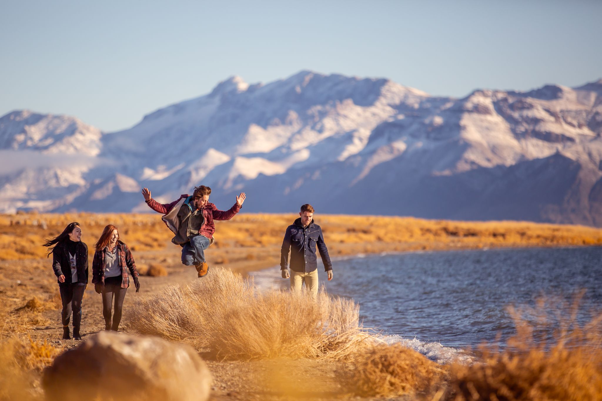
Basecamp Nevada – hiking Tours in the Silver State

Circumnavigating Lake Tahoe in the Sierra Nevada – Tahoe Rim Trail

Unforgettable MTB Adventures – IMBA Epic Trails in USA and Canada
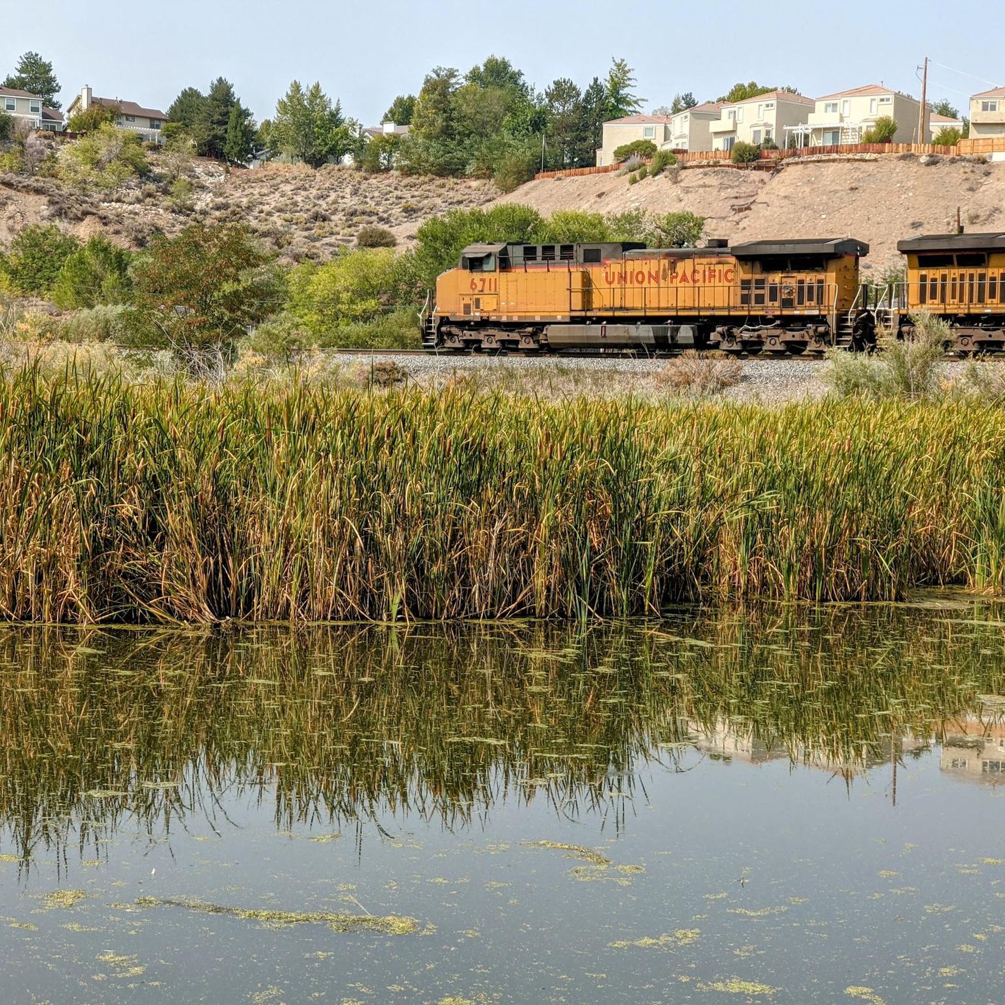
Hiking in Washoe County

Road Cycling Routes in Washoe County
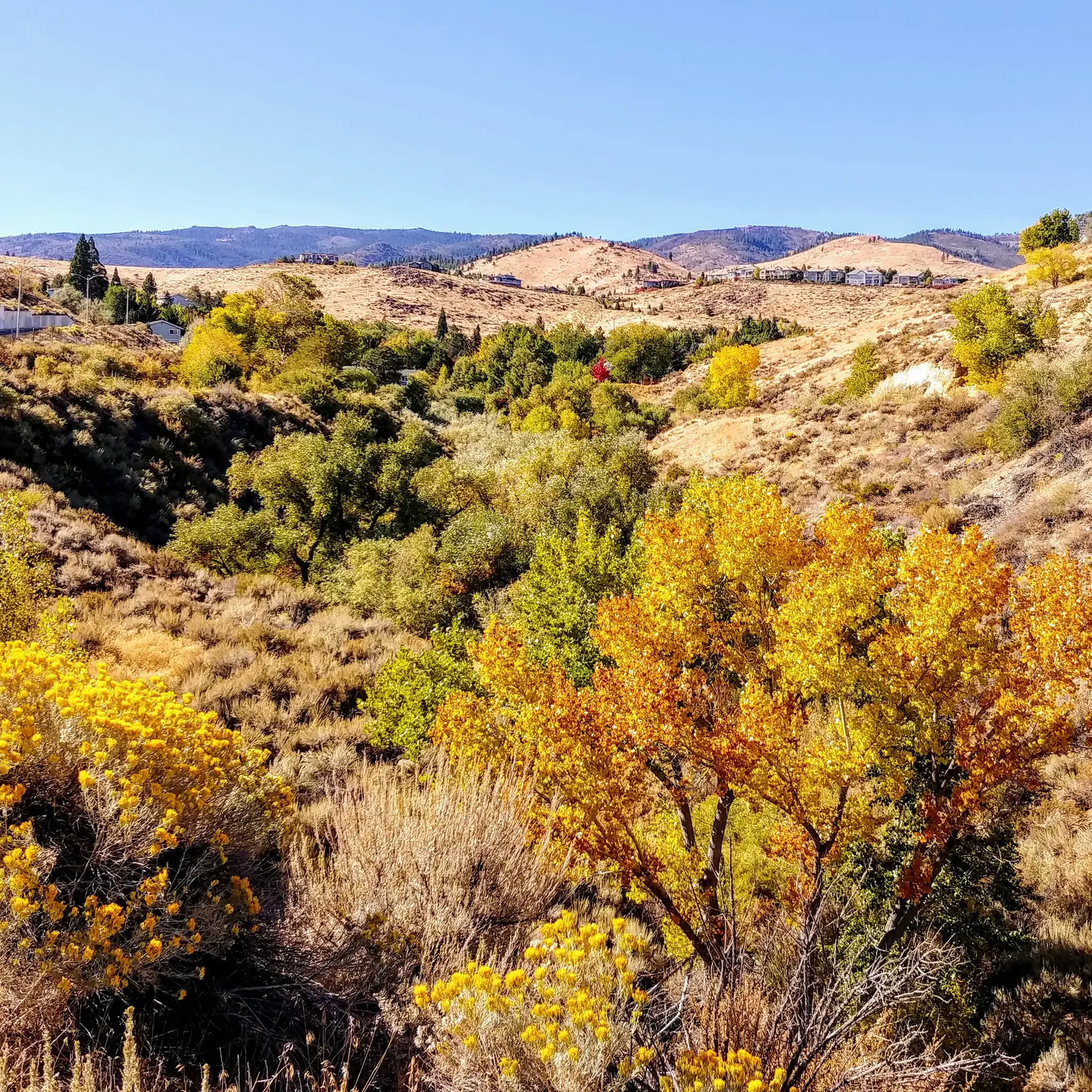
Running Trails in Washoe County
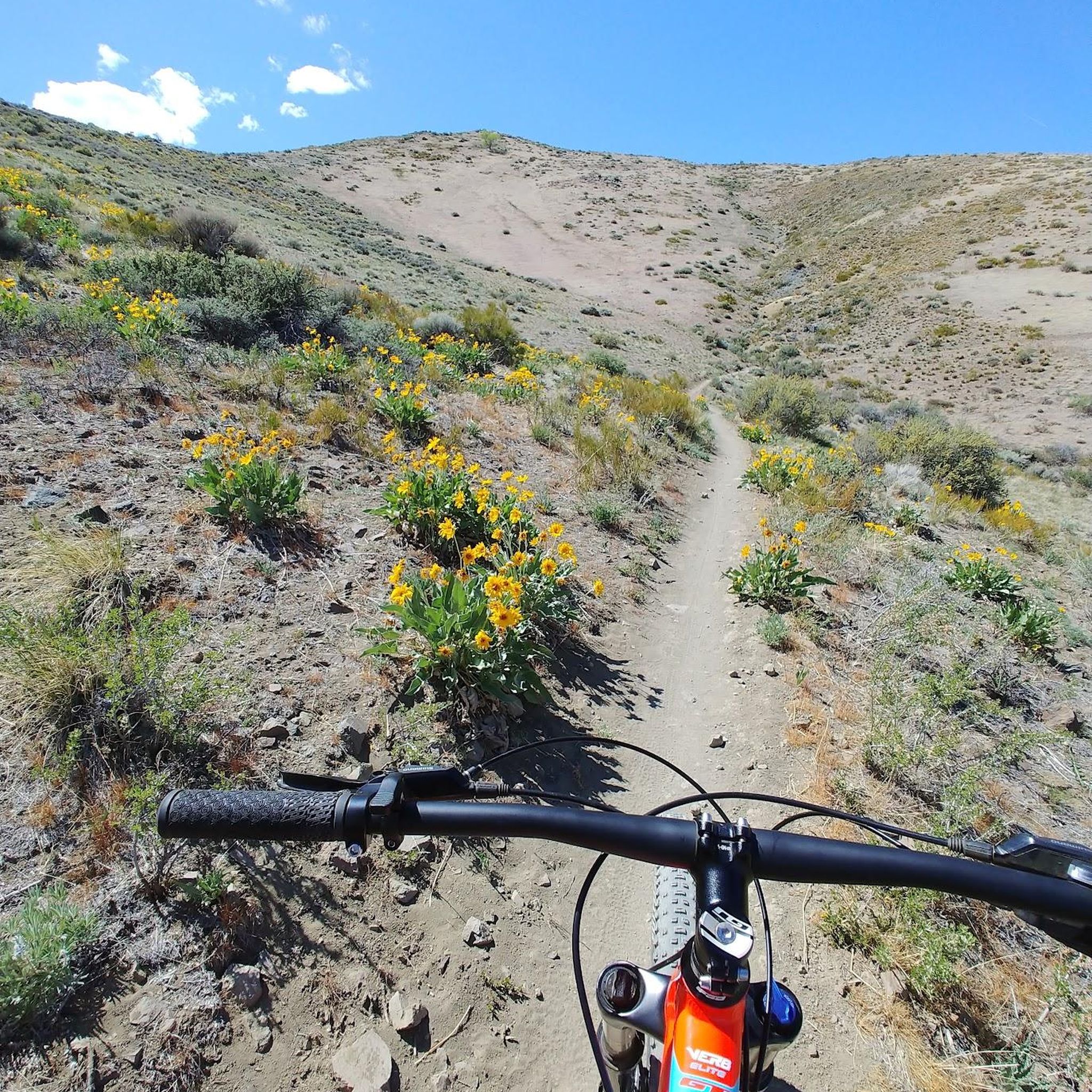
MTB Trails in Washoe County
Cycling in Washoe County
Other adventures in Washoe County


Tips from the Community

Riding the Mount Rose Highway to or from the summit is epic. There's nearly 4,400ft of elevation change with intermittent of the low valleys and towering mountains. This road is often busy so take care and be prepared to share the road.
0
0
Riding the Mt. Rose Highway to or from the summit is epic. There's nearly 4,400ft of elevation change with intermittent of the low valleys and towering mountains. This road is often busy so take care and be prepared to share the road.
0
0

Large parking area with restrooms where Tahoe Rim Trail crosses the Mount Rose Highway, the highest year-round Sierra Nevada pass. This section north clockwise climbs to Relay Peak via Tamarack, or counterclockwise leads down to Tahoe City
0
0
Frequently Asked Questions
Which mountain passes in Washoe County offer the most scenic drives?
The Mount Rose Highway, which includes the Mt. Rose Summit, is renowned for its scenic drive. It connects Reno to Lake Tahoe, offering panoramic views of Washoe Valley, Washoe Lake, and the Lake Tahoe Basin. Geiger Grade Road also provides sweeping views of the Truckee Meadows and the Sierra Nevada mountains as it climbs through the Virginia Range.
Are there good hiking opportunities near the mountain passes in Washoe County?
Yes, the mountain passes offer access to various hiking trails. From the Mt Rose Summit Plaza - Tahoe Rim Trailhead, you can access sections of the Tahoe Rim Trail, including routes climbing to Relay Peak. For more options, explore the easy hikes in Washoe County guide.
When is the best time of year to visit the mountain passes in Washoe County?
The Mt. Rose Summit is accessible year-round, offering different experiences with the seasons. Summer is ideal for leisurely drives and hiking, with wildflowers in bloom. Winter transforms the area into a snowy landscape, perfect for skiing, snowboarding, snowshoeing, and snowmobiling. Geiger Grade Road is generally best visited in warmer months due to its rugged terrain.
Are the mountain passes in Washoe County suitable for families?
Yes, the Mt Rose Summit Plaza - Tahoe Rim Trailhead is categorized as family-friendly, providing a large parking area and access to trails. The scenic drives themselves, like the Mount Rose Highway, are also suitable for family outings, with various lookout points to enjoy the views.
What kind of recreational activities can I do near these mountain passes?
Beyond scenic drives, the area offers diverse activities. Near Mt. Rose Summit, you can find hiking, mountain biking (like the Flume Trail), cross-country skiing, snowmobiling, and snowshoeing. The MTB Trails in Washoe County guide provides options for mountain biking enthusiasts.
Where can I find parking and trailheads at Washoe County's mountain passes?
The primary location for parking and trailhead access is the Mt Rose Summit Plaza - Tahoe Rim Trailhead. This large parking area includes restrooms and serves as a direct access point for the Tahoe Rim Trail.
What natural features can I expect to see along the mountain passes?
You can expect breathtaking panoramic views of Washoe Valley, Washoe Lake, and the vast Lake Tahoe Basin. The high peaks of the Sierra Nevada mountains are prominent, and in summer, wildflowers add vibrant color to the landscape. The rugged terrain of the Virginia Range is visible along Geiger Grade Road.
Are there any historic sites or routes among Washoe County's mountain passes?
Geiger Grade Road holds significant historical importance. It was a crucial route during the Comstock Lode silver rush, offering a glimpse into Nevada's past as you drive through its rugged landscape.
What are the conditions like for visiting mountain passes in winter?
The Mt. Rose Summit is one of the highest Sierra Nevada passes that remains open year-round, despite receiving significant snowfall. It's a popular destination for winter sports. However, always check local weather and road conditions before heading out, as heavy snowfall can impact travel.
Can I find easy or beginner-friendly trails near the mountain passes?
Yes, from the Mt. Rose Summit area, you can access sections of the Tahoe Rim Trail. While some parts can be challenging, there are also easier segments suitable for beginners. For more options, consult the easy hikes in Washoe County guide.
What do visitors enjoy most about the mountain passes in Washoe County?
Visitors frequently appreciate the stunning panoramic views, especially from the Mount Rose Highway. The high-altitude adventure, diverse recreational opportunities throughout the seasons, and the accessibility of these scenic routes are also highly valued.
Most popular routes in Washoe County
Most popular attractions in Washoe County

Get inspired with the komoot mobile app


Explore more
See even more epic mountain passes by checking out these guides in Washoe County:
