Top 11 Mountain Passes around Isla De La Palma
Mountain passes around Isla De La Palma traverse a landscape shaped by volcanic activity and mountainous terrain. The island features elevated points and routes that offer views and challenging hikes. Key areas include the Roque de los Muchachos, the Ruta de los Volcanes, and trails within the Caldera de Taburiente National Park. These routes provide access to diverse geological formations and natural features.
Best mountain passes around Isla De La Palma
- The most popular mountain passes is Cumbre Nueva Ridge Trail, a trail that offers impressive views and changing vegetation. This path includes a strenuous climb with a significant gradient and features a water source at Reventon Pass.
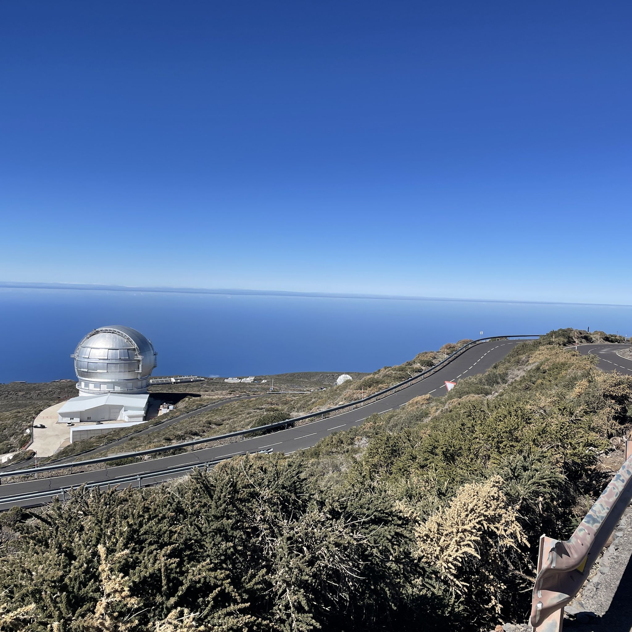
- Another must-see spot is Ascent to Roque de los Muchachos from Santa Cruz de la Palma, a challenging mountain pass and cycle way. This route involves a demanding climb of almost 41 kilometers to reach the summit at 2426 meters above sea level.
- Visitors also love La Palma: Caldera, crater rim at Reventón Pass, a mountain pass and viewpoint. This location on the Cumbre Nueva offers views of the caldera.
- Isla De La Palma is known for challenging climbs, scenic trails, and viewpoints. The island offers a variety of mountain passes to explore, from long-distance routes to shorter ascents.
- The mountain passes around Isla De La Palma are appreciated by the komoot community, with 10 highlights featuring 7 photos and 10 upvotes.
Last updated: June 23, 2026
Ascent to Roque de los Muchachos from Santa Cruz de la Palma
Highlight (Segment) • Mountain Pass
Especially back you can use the many trails left and right as a shortcut
take. On the approximately 33 km long section up to the top of the pass (2300 m)
you have to trample constantly without a meter going flat.
All of this with a gradient of 7 to 12% and over 500 curves.
There is hardly any traffic on the route, every now and then a car with tourists.
Translated by Google •
Tip by

Cumbre Nueva Ridge Trail
Highlight • Trail
Translated by Google •
Tip by

Sign up now to discover places like this
Get recommendations on the best single tracks, peaks, & plenty of other exciting outdoor places.
Sign up for free
La Palma: Caldera, crater rim at Reventón Pass
Highlight • Mountain Pass
Translated by Google •
Tip by

Las Manchas Ascent
Highlight (Segment) • Climb
As soon as you come across the old section of road, it becomes level again. Beautiful young palm trees are planted on the left and right of the street. Due to the old section of the climb, you don't necessarily see from the pass data how hard it really is at the beginning.
This pass is an important connection of the two already completed lava roads back to LP-2, which is currently still buried by the lava. So if you want to drive towards the south of the island from Los Llanos or Tazacorte, there is currently no way around this climb.
Translated by Google •
Tip by

Las Angustias Pass Climb
Highlight (Segment) • Climb
The traffic volume here is also somewhat high as it is the immediate main road to the northwest island. However, the asphalt is great. You will also pass through some banana plantations during the climb.
Translated by Google •
Tip by
LP-114 Road Between Santo Domingo and Las Tricias
Highlight (Segment) • Mountain Pass
The stage has little traffic and good asphalt.
Translated by Google •
Tip by

GR 131 El Bastion
Highlight • Trail
Translated by Google •
Tip by

Llano Negro Ascent
Highlight (Segment) • Climb
The pass itself is pleasant to drive at 6.8 percent; you will climb 688 meters here. The road is in great condition. In addition, you don't have to worry about much traffic here.
The vegetation on the climb is relatively similar from bottom to top; at first you will pass individual houses directly on the road. At the top there are always vantage points on the side of the road where you can pause. The entire pass is relatively open and unforested, making it very vulnerable to wind on stormy days. This can be a bit uncomfortable, especially in the last stretch, on the long straight if there is a headwind.
Once you have reached the top, you have the decision to continue towards the Roque de los Muchachos, or you can take the route towards Roque del Faro and thus towards the north of the island.
Translated by Google •
Tip by
Roque del Faro Ascent
Highlight (Segment) • Climb
The pass then winds 8.30 kilometers through a wonderful jungle landscape. You will climb a total of 569 meters. On average, you'll get your money's worth here at 6.8 percent. However, there are also slightly flatter and even even sections of the route where there is time to breathe.
The asphalt is consistently fine. However, there are a few individual holes and rippled spots in the tar caused by the heat on the route. As is usually the case in the north of the island, car traffic is very manageable.
This pass is an important key climb if you want to either continue towards Roque de los Muchachos or continue towards the west side of La Palma.
Translated by Google •
Tip by
Col du Pirs Ascent
Highlight (Segment) • Mountain Pass
From this intersection, the climb stretches over 5.15 kilometers and involves climbing 395 meters, which corresponds to an average gradient of 7.7 percent. The pass ends in a shady dead end where you can relax under the pine trees after climbing from the Canary Islands heat. During the ascent you are always presented with a great view of the Atlantic.
This climb is a real insider tip, no traffic, good asphalt and with the good gradient percentages it is also suitable for ambitious racing cyclists for training intervals. In addition, the pass is relatively short at just under 5 kilometers for the otherwise long uphill stretches on the island of La Palma.
Translated by Google •
Tip by
Sign up for free to discover even more mountain passes around Isla De La Palma.
Sign up for free
Already have an account?
Start today with a free account
Your next adventure awaits.
Login or Signup
Popular around Isla De La Palma
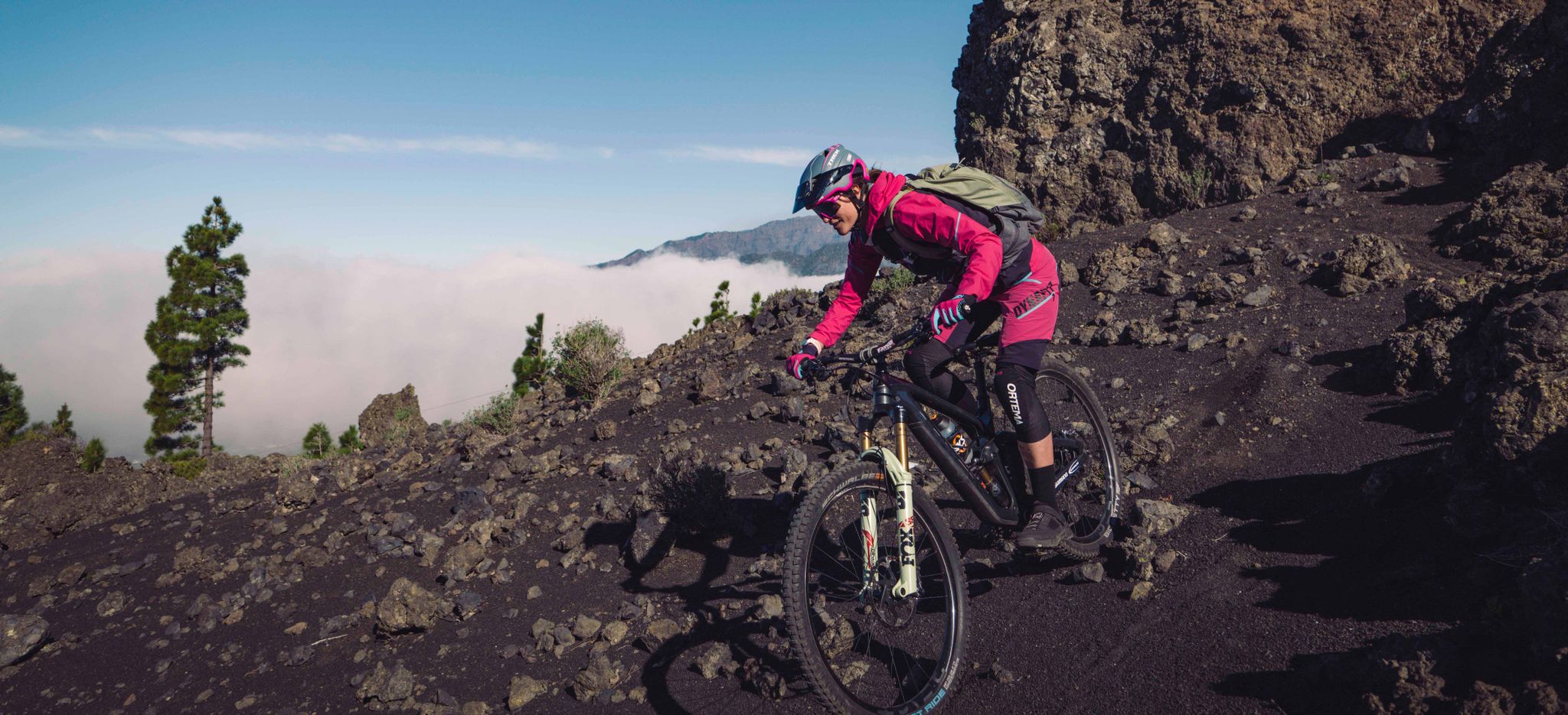
La Palma – my favourite Tours on the Canary Islands’ Isla Bonita
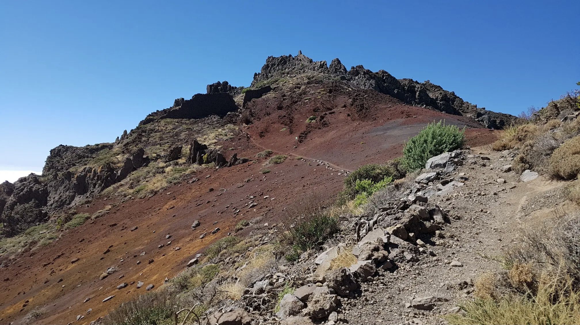
GR 131 El Bastón – La Palma in all its splendour

La Palma, El Hierro y La Gomera – explore the Canaries’ Green Islands on foot
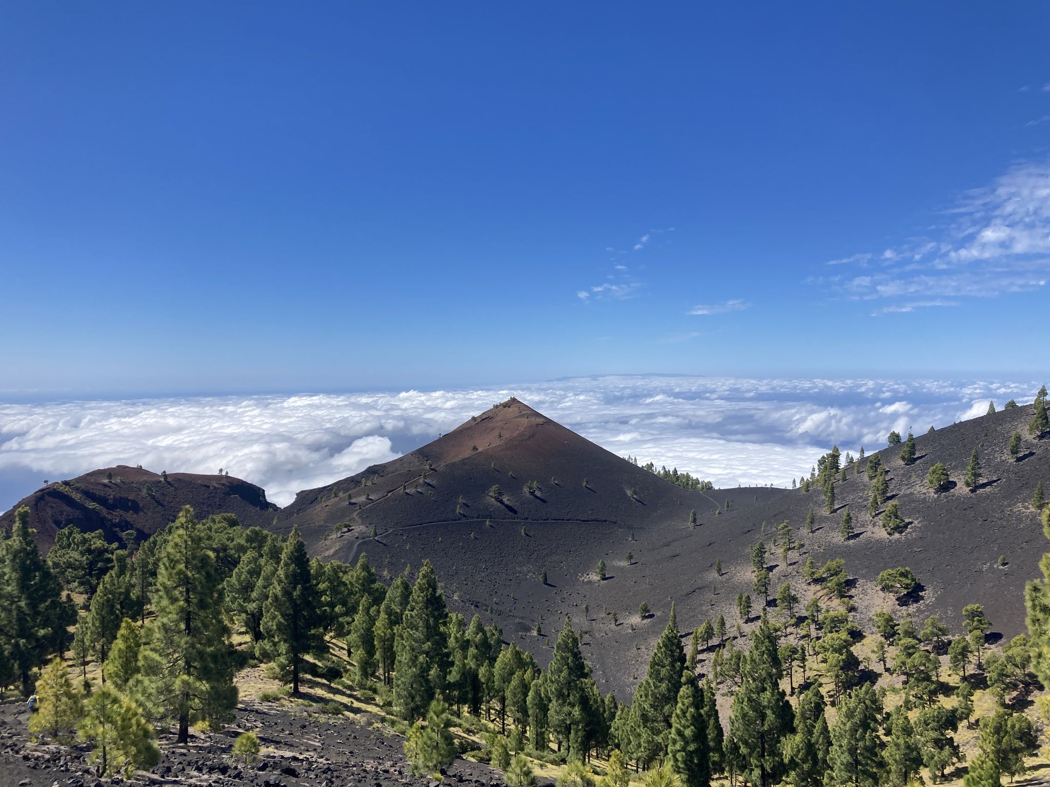
Transvulcania - traverse la Palma in the Canary Islands on the GR 131
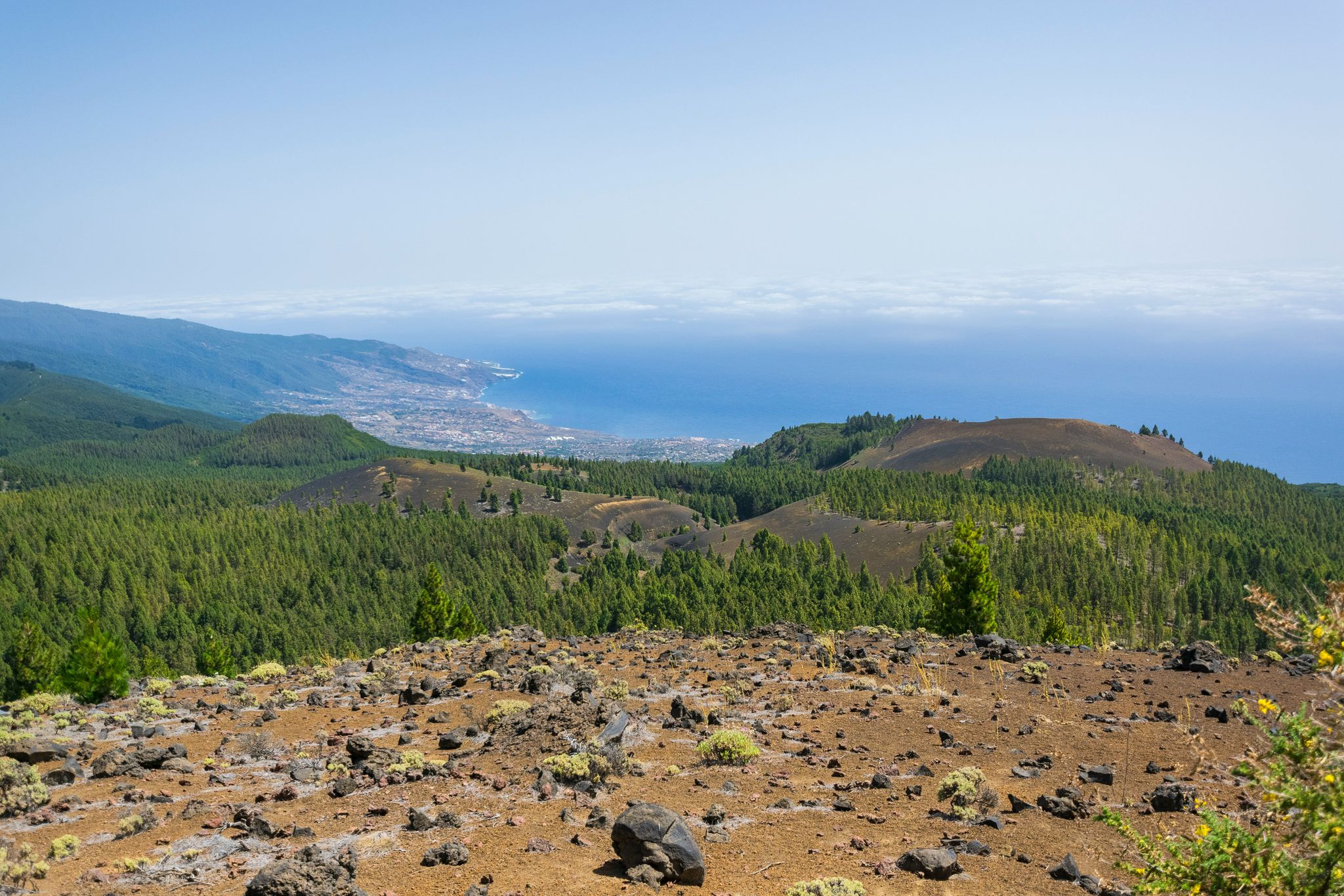
Around the beautiful island – La Palma Nature Trail (GR 130)
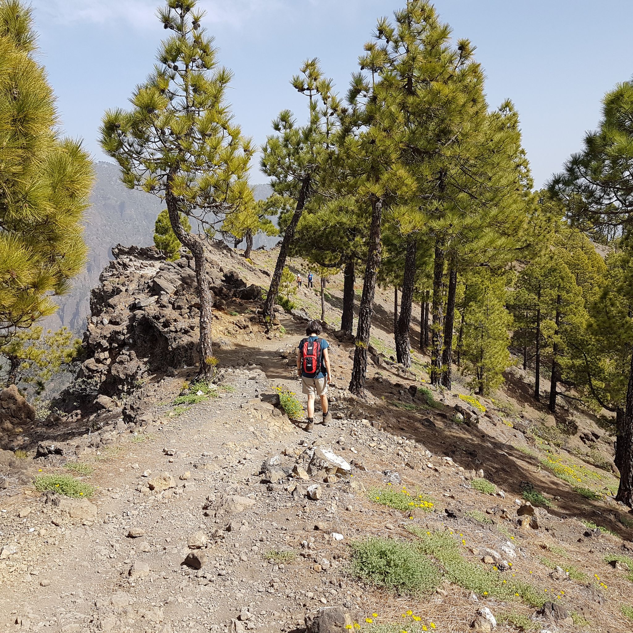
Hiking around Isla De La Palma
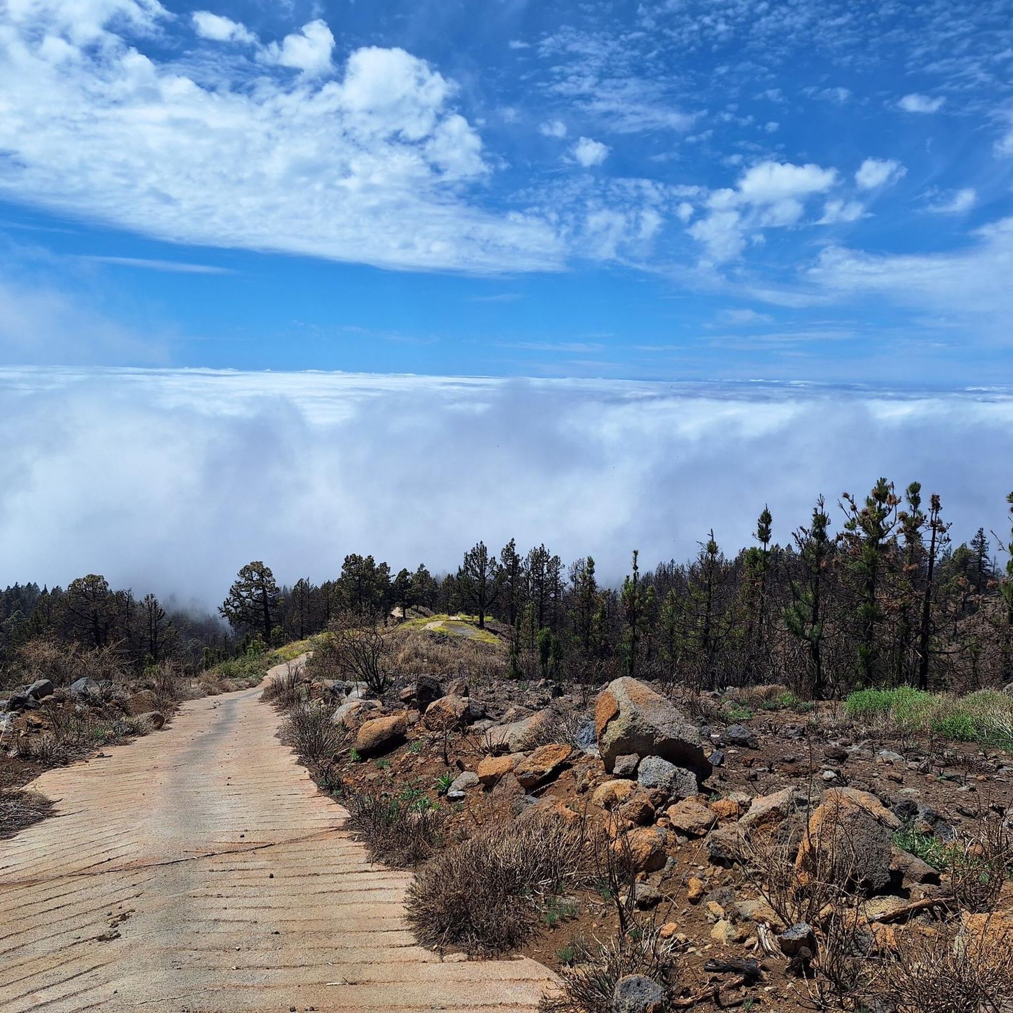
Running Trails around Isla De La Palma
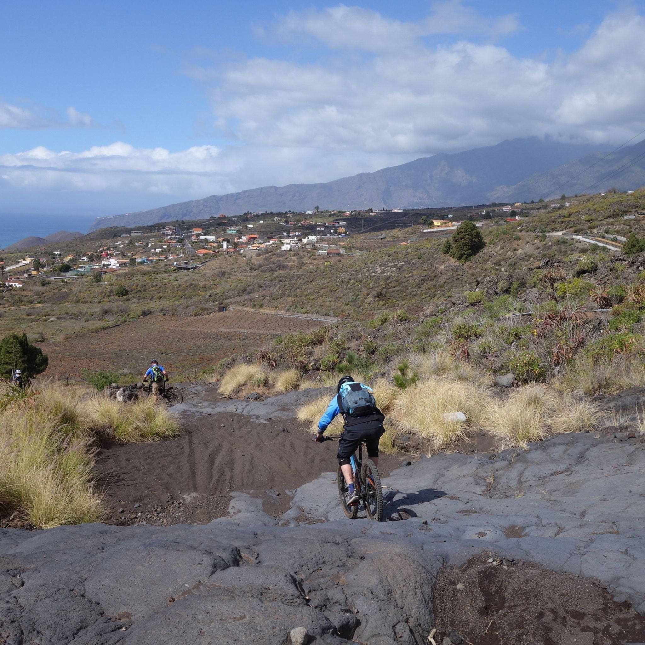
MTB Trails around Isla De La Palma
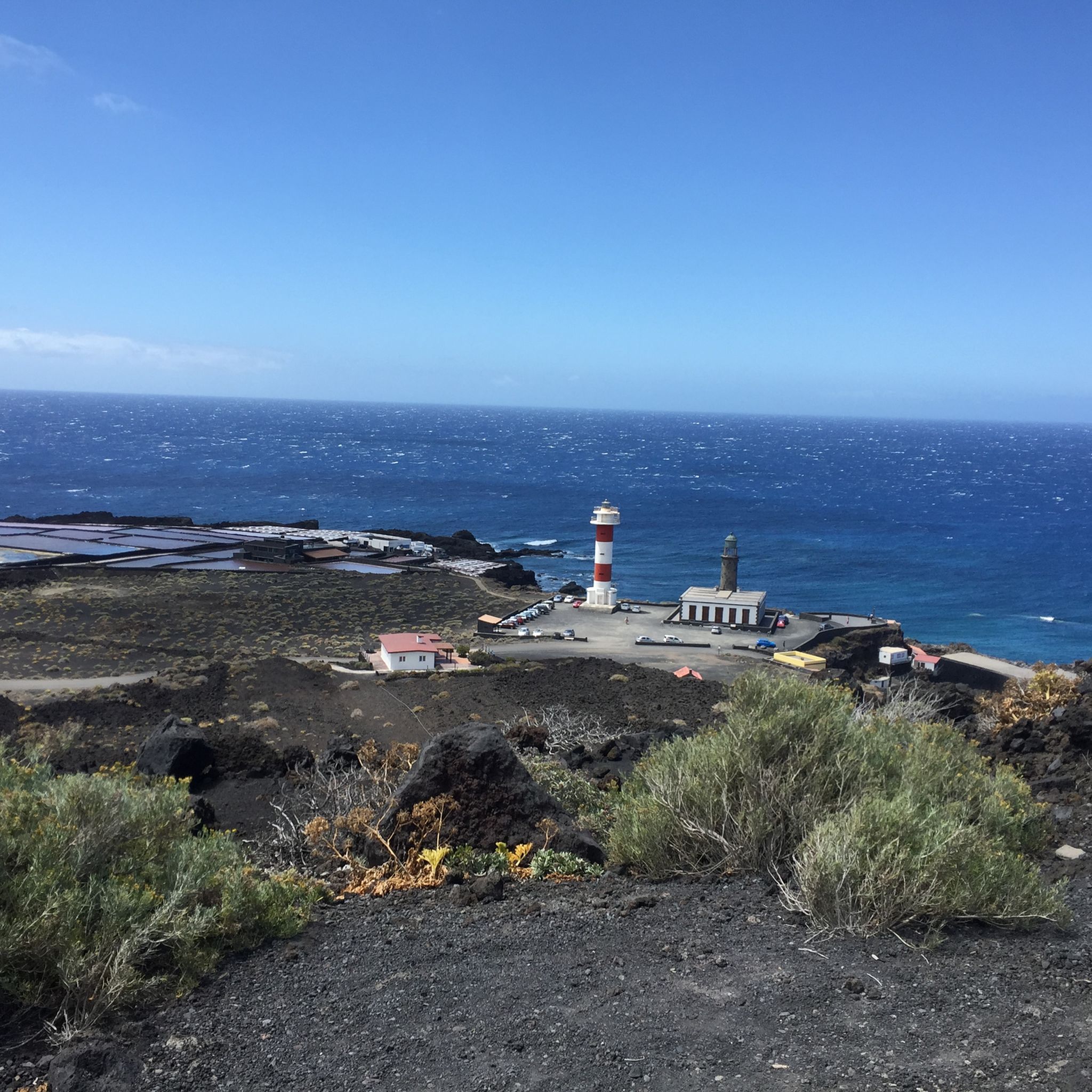
Cycling around Isla De La Palma
Road Cycling Routes around Isla De La Palma
Other adventures around Isla De La Palma


Tips from the Community


A beautiful king stage with impressive views, changing vegetation. The climb is a bit strenuous. Approx. 30% gradient (600 HM), the path is easy to walk. The long ridge path is equivalent to a road. If you like, you can walk this or choose the shady hiking path next to it. If you don't want to hike the long circuit, you have the opportunity to travel by bus or car to the El Pilar area and from there take a beautiful walk along the ridge path.
0
0

The climb to Roque del Faro begins immediately after you have driven through the dark tunnel of the LP-1 to the village of Franceses. (Be careful, the tunnel is unlit, be sure to take off your sunglasses and drive through slowly if you don't have light.) The pass then winds 8.30 kilometers through a wonderful jungle landscape. You will climb a total of 569 meters. On average, you'll get your money's worth here at 6.8 percent. However, there are also slightly flatter and even even sections of the route where there is time to breathe. The asphalt is consistently fine. However, there are a few individual holes and rippled spots in the tar caused by the heat on the route. As is usually the case in the north of the island, car traffic is very manageable. This pass is an important key climb if you want to either continue towards Roque de los Muchachos or continue towards the west side of La Palma.
2
0
The "Llano Negro" climb leads from the coastal town of Santo Domingo 8 kilometers uphill to LP-1. Once you reach the top you also have the opportunity to get some food, as there is a supermarket and a gas station with a snack restaurant there. The pass itself is pleasant to drive at 6.8 percent; you will climb 688 meters here. The road is in great condition. In addition, you don't have to worry about much traffic here. The vegetation on the climb is relatively similar from bottom to top; at first you will pass individual houses directly on the road. At the top there are always vantage points on the side of the road where you can pause. The entire pass is relatively open and unforested, making it very vulnerable to wind on stormy days. This can be a bit uncomfortable, especially in the last stretch, on the long straight if there is a headwind. Once you have reached the top, you have the decision to continue towards the Roque de los Muchachos, or you can take the route towards Roque del Faro and thus towards the north of the island.
2
0

Very long and quite demanding climb that from the center of Santa Cruz leads up to the "Roque de Los Muchachos" at 2426 meters above sea level. In total there are almost 41 kilometers that must be covered to reach the desired summit, but during the entire journey you can admire the wonderful landscapes that gradually open up to our eyes. Overall it is a street with little traffic and very quiet; I highly recommend checking the weather conditions before venturing towards the top because temperatures can drop significantly in winter and finding yourself pedaling in temperatures close to zero is not such a remote eventuality as you might expect from an island of the Canaries
1
0
The climb to the Col du Pirs begins almost immediately after the town of Villa de Mazo. Coming from the main road, you turn towards “Nambroque”. You won't see Col du Pirs written anywhere here. This is what the locals of Palermo affectionately call the pass. From this intersection, the climb stretches over 5.15 kilometers and involves climbing 395 meters, which corresponds to an average gradient of 7.7 percent. The pass ends in a shady dead end where you can relax under the pine trees after climbing from the Canary Islands heat. During the ascent you are always presented with a great view of the Atlantic. This climb is a real insider tip, no traffic, good asphalt and with the good gradient percentages it is also suitable for ambitious racing cyclists for training intervals. In addition, the pass is relatively short at just under 5 kilometers for the otherwise long uphill stretches on the island of La Palma.
3
0

https://www.youtube.com/watch?v=dR59PSJ4vA8 The LP-4 highway, known as Carretera del Roque, is an impressive route in La Palma that extends for 47.84 kilometers. This mountain road leads to the Roque de Los Muchachos Astrophysical Observatory and the highest point of the island, connecting with the LP-403 in its final section. It begins in the Mirca neighborhood, in Santa Cruz de La Palma, goes up to the observatory and then descends to Hoya Grande in the Villa de Garafía. It is a spectacular route to enjoy panoramic views of the island.
0
0
The LP-4 highway, known as Carretera del Roque, is an impressive route in La Palma that extends for 47.84 kilometers. This mountain road leads to the Roque de Los Muchachos Astrophysical Observatory and the highest point of the island, connecting with the LP-403 in its final section. It begins in the Mirca neighborhood, in Santa Cruz de La Palma, goes up to the observatory and then descends to Hoya Grande in the Villa de Garafía. It is a spectacular route to enjoy panoramic views of the island.
0
0
Frequently Asked Questions
What are the most popular mountain passes and elevated routes on Isla De La Palma?
Isla De La Palma features several renowned elevated routes and points that serve as mountain passes. Among the most popular are the Cumbre Nueva Ridge Trail, known for its impressive views and changing vegetation, and the challenging Ascent to Roque de los Muchachos from Santa Cruz de la Palma, which leads to the island's highest point. Another favorite is La Palma: Caldera, crater rim at Reventón Pass, offering stunning views of the caldera.
What kind of natural features can I expect to see on mountain passes in Isla De La Palma?
The mountain passes and elevated routes on Isla De La Palma showcase a dramatic volcanic landscape. You'll encounter diverse terrain, from lush pine forests and cascading waterfalls within the Caldera de Taburiente National Park to otherworldly volcanic landscapes with craters and black sand along the Ruta de los Volcanes. High points like Roque de los Muchachos offer panoramic views of the colossal Caldera de Taburiente, the island's rugged coastline, and even neighboring islands on clear days.
Are there challenging mountain passes for experienced hikers or cyclists?
Yes, Isla De La Palma is known for its challenging climbs and routes. The Ascent to Roque de los Muchachos from Santa Cruz de la Palma is a demanding 41-kilometer climb for cyclists, reaching 2426 meters above sea level. For hikers, the Ruta de los Volcanes (part of the GR 131) is a challenging 17-24 km trail with significant elevation changes. The Las Manchas Ascent also presents a real challenge with steep ramps and an average gradient of 7.3%.
What is the best time of year to visit the mountain passes on Isla De La Palma?
Isla De La Palma generally enjoys a mild climate year-round, making its mountain passes accessible for much of the year. However, for the highest points like Roque de los Muchachos, it's advisable to check weather conditions, especially in winter, as temperatures can drop significantly and even bring snow. Spring and autumn often offer pleasant temperatures for hiking and cycling, with fewer crowds than peak summer.
Are there any mountain passes that offer unique historical or geological insights?
Absolutely. The Ruta de los Volcanes, traversing the Cumbre Vieja volcanic ridge, offers a firsthand look at the island's geological history, passing through numerous craters and lava fields that shaped La Palma. The Caldera de Taburiente National Park, a UNESCO World Heritage Site, is a massive erosion caldera, providing a unique insight into geological processes and hosting unique plant species. The Las Manchas Ascent also passes through areas affected by the 2021 volcanic eruption, showcasing the island's ongoing geological evolution.
What outdoor activities can I do near the mountain passes on Isla De La Palma?
Beyond exploring the mountain passes themselves, Isla De La Palma offers a wide range of outdoor activities. You can find numerous road cycling routes, including challenging ascents like the Roque de los Muchachos Loop from Santa Cruz. There are also diverse cycling tours and running trails, such as the Colors Waterfall through the Ravine of Anguish in Caldera de Taburiente National Park. For more options, explore the Road Cycling Routes around Isla De La Palma, Cycling around Isla De La Palma, and Running Trails around Isla De La Palma guides.
Are there any family-friendly mountain passes or accessible viewpoints?
While many routes involve significant elevation, some areas offer more accessible experiences. The Roque de los Muchachos summit has viewpoints with short connecting trails, making it possible for families to enjoy the panoramic vistas without extensive hiking. The Caldera de Taburiente National Park also has various trails, some of which are less strenuous, allowing for an immersive experience in nature. Always check specific trail details for suitability.
What are some of the best viewpoints along the mountain passes?
Isla De La Palma's mountain passes are renowned for their spectacular viewpoints. Roque de los Muchachos offers unparalleled panoramic views into the Caldera de Taburiente and across to neighboring islands. The crater rim at Reventón Pass on the Cumbre Nueva provides excellent views of the caldera. Many other passes, like LP-114 Road Between Santo Domingo and Las Tricias and LP-4 Fuente Nueva to Lomo del Santo, also feature designated viewpoints to appreciate the island's beauty.
Can I find water sources or amenities near the mountain passes?
While some routes, like the Cumbre Nueva Ridge Trail, mention a water source at Reventón Pass, and the Roque de los Muchachos summit has a small fountain, amenities can be sparse in higher, more remote areas. It's always recommended to carry sufficient water and supplies. For cafes, pubs, or accommodation, you'll generally need to descend to towns or villages near the trailheads, such as Santa Cruz de la Palma or Los Llanos de Aridane.
What do visitors enjoy most about exploring the mountain passes of Isla De La Palma?
Visitors consistently praise the breathtaking views and the unique, dramatic landscapes. The sense of achievement from challenging climbs, the tranquility of the pine forests, and the awe-inspiring volcanic formations are frequently highlighted. Many appreciate the opportunity to witness above-the-clouds phenomena from high points and the diverse terrain that makes each route a distinct adventure.
Are there specific trails for circular walks around the mountain passes?
Yes, many of the island's trails, including those around mountain passes, can be incorporated into circular walks. For instance, within the Caldera de Taburiente National Park, there are options for full-loop hikes, though some can be quite long (8-9 hours). The Roque de los Muchachos area also offers shorter trails connecting various viewpoints, allowing for circular exploration of the summit area. Always consult detailed maps or guides for specific circular route options.
How accessible are the mountain passes by public transport?
Public transport access to the highest and most remote mountain passes can be limited. While some trailheads or starting points for routes like the Ruta de los Volcanes (e.g., Refugio El Pilar) might be reachable by bus, direct access to all passes is not guaranteed. It's often more convenient to use a car for flexibility, especially for early morning starts or late finishes. Always check local bus schedules and routes in advance if planning to rely on public transport.
Most popular routes around Isla De La Palma
Most popular attractions around Isla De La Palma

Get inspired with the komoot mobile app


Didn’t find what you were looking for?
Find even more amazing mountain passes around Isla De La Palma organized by region:
Explore more
See even more epic mountain passes by checking out these guides around Isla De La Palma:
