Top 5 Mountain Passes around Antraigues-Sur-Volane
Best mountain passes around Antraigues-Sur-Volane are found in the heart of the Ardèche region. This area features volcanic landscapes, chestnut forests, and picturesque river valleys. The passes offer access to scenic drives and cycling routes, providing diverse terrain for outdoor activities. The region's geological formations and natural features contribute to its appeal for explorers.
Best mountain passes around Antraigues-Sur-Volane
- The most popular mountain passes is Col de Mézilhac (1,119 m), a mountain pass that is a frequent ascent in…
Last updated: July 5, 2026
Col de Mézilhac (1,119 m)
Highlight • Mountain Pass
Translated by Google •
Tip by

Col des Pierres de Faux
Highlight • Mountain Pass
Translated by Google •
Tip by
Sign up now to discover places like this
Get recommendations on the best single tracks, peaks, & plenty of other exciting outdoor places.
Sign up for free
Col de Joux
Highlight • Mountain Pass
Translated by Google •
Tip by
Escrinet Pass
Highlight • Mountain Pass
Translated by Google •
Tip by

Col de Moucheyres (858 m)
Highlight • Mountain Pass
4.4Km at 4.5% average
Translated by Google •
Tip by

Sign up for free to discover even more mountain passes around Antraigues-Sur-Volane.
Sign up for free
Already have an account?
Start today with a free account
Your next adventure awaits.
Login or Signup

Tips from the Community

Small street, no traffic
0
0
Anyone who wants to stop for a bite to eat should stop here. There are few alternatives. A Grand Café Creme and a generous sandwich for 8 euros.
1
1

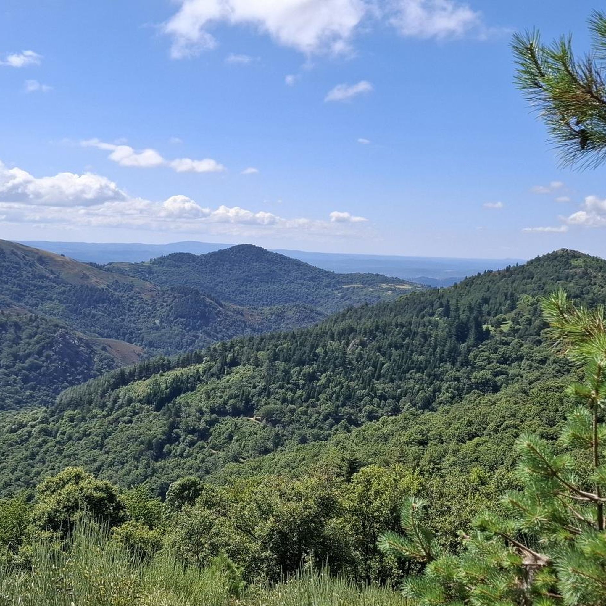
From this pass we see the Privas plain to the north and the Aubenas plain to the south.
0
0

The Col des Pierres de Faux par Privas is 12.6 km long with a total drop of 508 m. The average slope is 4% with maximum slopes of 12%.
2
0
The Col de Joux, from Le Cheylard is 18.3 km long with an elevation gain of 587 m. The average gradient of the climb is 3.1% with maximum gradients of 10%. This climb should not be confused with the Col de Joux Plane in Savoie.
3
0
The Col de Mézilhac from Le Cheylard is a frequent ascent in the Ardéchoise, a cyclosportive in June. The climb is 22 km long with a total elevation gain of 700 m. The average gradient is 3.18% with maximum gradients of 7.5%.
2
0

Pass taken from Aubenas. Nice climb despite the traffic. Very nice view of the Ardeche mountains and exhilarating descent to Privas
0
0

Beautiful descent towards Privas
0
0
Frequently Asked Questions
What are some of the most scenic mountain passes for cycling around Antraigues-sur-Volane?
The region offers several scenic passes ideal for cycling. The Col de Mézilhac (1,119 m) is a prominent pass, often featured in cycling events like the Ardéchoise cyclosportive, offering expansive views of the Ardèche plateau and Mont Mézenc. Another beautiful ascent is the Montivernoux Climb, leading to Lachamp Raphaël, the highest village in the Ardèche, with evolving landscapes of chestnut trees and the Tanargue massif. For more cycling routes, explore the Cycling around Antraigues-Sur-Volane guide.
Which mountain passes offer the best viewpoints of the surrounding Ardèche landscape?
Many passes provide stunning vistas. The Col de Mézilhac (1,119 m) offers expansive views of the Ardèche plateau and the distant Mont Mézenc. The Montivernoux Climb, leading to Lachamp Raphaël, reveals increasingly dominant views of the Besorgues river valley and the Tanargue massif, culminating in views of the Ardèche plateau and Mont Mézenc from the Suc de Montivernoux. The Escrinet Pass also provides very nice views of the Ardèche mountains, including the Privas plain to the north and the Aubenas plain to the south.
Are there any mountain passes suitable for a quieter, less trafficked experience?
Yes, the Col de Moucheyres (858 m) is known for its small streets and low traffic, offering a quiet and peaceful experience. The Montivernoux Climb is also valued for its relative tranquility away from heavy traffic, allowing for a more immersive experience in nature.
What kind of natural features can I expect to see around the mountain passes near Antraigues-sur-Volane?
The area is characterized by its unique volcanic landscapes, dense chestnut forests, and picturesque river valleys. As you ascend, you'll encounter dramatic elevation changes, winding roads, and panoramic views of the Ardèche plateau, the distant Mont Mézenc, and the Tanargue massif. The region's rich biodiversity and geological formations are a highlight for nature enthusiasts.
What are the typical gradients and lengths of the mountain pass climbs in this region?
The climbs vary in difficulty and length. For example, the Col de Mézilhac (1,119 m) from Le Cheylard spans 22 kilometers with a total elevation gain of 700 meters, averaging 3.18% with maximum gradients of 7.5%. The Col des Pierres de Faux is 12.6 km long with a 508 m drop and an average slope of 4%. The Col de Joux is 18.3 km long with an elevation gain of 587 m, averaging 3.1% with maximum gradients of 10%.
Are there opportunities for gravel biking near the mountain passes?
Yes, the region around Antraigues-sur-Volane is excellent for gravel biking. You can find various routes, such as the 'Via Ardèche Viaduct – Viaduct Over the Auzon loop' or the 'Col d'Aizac – View of Antraigue loop'. For detailed routes and more options, check out the Gravel biking around Antraigues-Sur-Volane guide.
What kind of hiking trails are available near these mountain passes?
There are numerous hiking opportunities in the vicinity. Trails range from moderate to difficult, offering diverse experiences through the region's landscapes. Examples include the 'Antraïgues Loop via Craux' and 'Le Coulet Gras loop from Antraigues-sur-Volane'. For a comprehensive list of trails, refer to the Hiking around Antraigues-Sur-Volane guide.
What do visitors appreciate most about the mountain passes in this area?
Visitors frequently praise the breathtaking vistas and the physical challenge offered by the climbs. The expansive views of the Ardèche plateau and Mont Mézenc from passes like Col de Mézilhac (1,119 m) are highly valued. The tranquility and evolving landscapes, especially on routes like the Montivernoux Climb, also receive positive feedback. The scenic descents, such as from Col des Pierres de Faux towards Privas, are also a highlight.
Is there a mountain pass that is part of a scenic road cycling itinerary showcasing local villages?
Yes, the Col de Genestelle is integral to scenic road cycling itineraries that explore various valleys around Antraigues-sur-Volane. These routes are designed to showcase the typical villages and diverse landscapes of the region, offering a pleasant and engaging experience for cyclists looking to immerse themselves in the local character and natural beauty.
Are there any tips for stopping for food or refreshments while exploring the mountain passes?
If you're exploring the Col de Mézilhac (1,119 m), it's recommended to stop there for a bite to eat as alternatives are few. You can often find options like a Grand Café Creme and a generous sandwich, providing a welcome break during your ascent.
What is the best time of year to visit the mountain passes around Antraigues-sur-Volane?
The region is generally pleasant for outdoor activities from spring through autumn. The Ardéchoise cyclosportive, which features passes like Col de Mézilhac (1,119 m), takes place in June, indicating good conditions during early summer. Spring and early autumn offer milder temperatures, which are ideal for cycling and hiking, allowing you to fully enjoy the volcanic landscapes and chestnut forests.
Most popular routes around Antraigues-Sur-Volane
Most popular attractions around Antraigues-Sur-Volane

Get inspired with the komoot mobile app


Explore more
See even more epic mountain passes by checking out these guides around Antraigues-Sur-Volane:
