The best road cycling routes around Antraigues-Sur-Volane
4.6
(106)
3,159
riders
77
rides
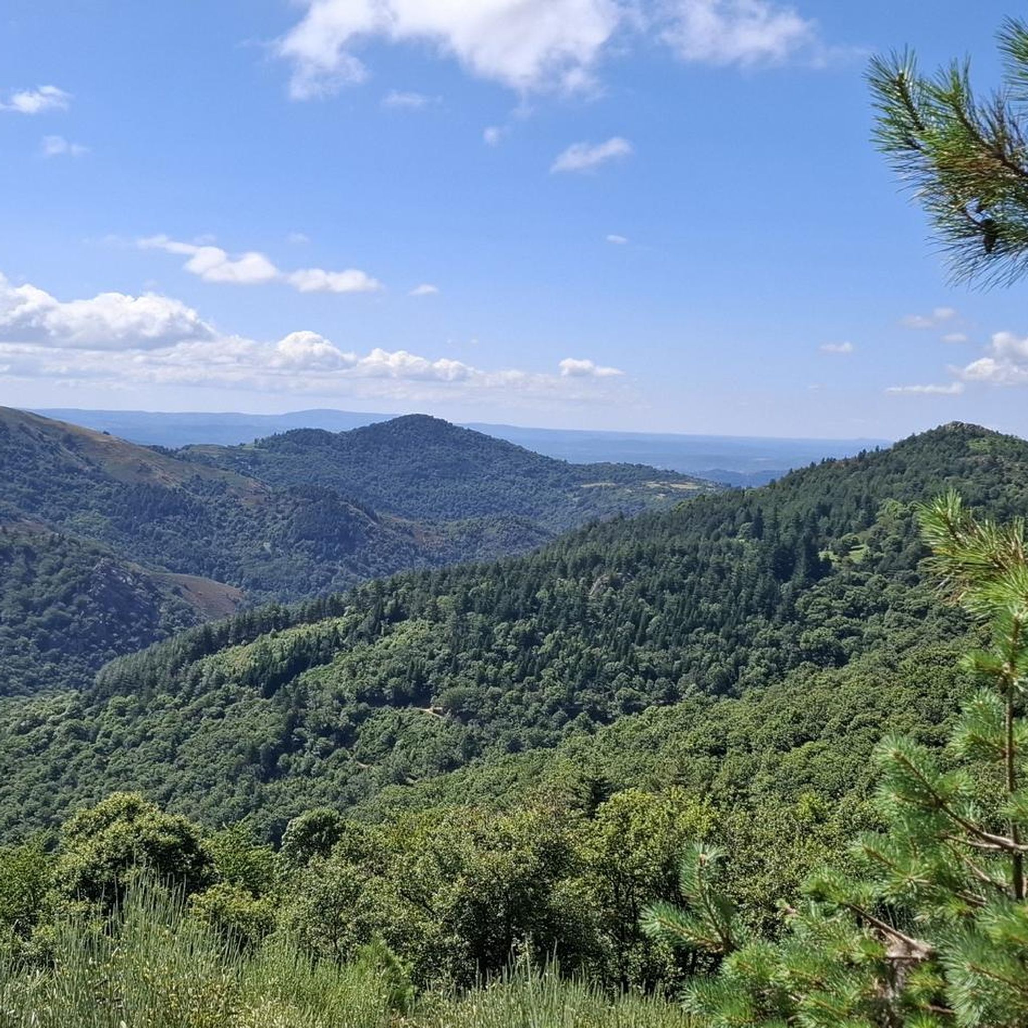
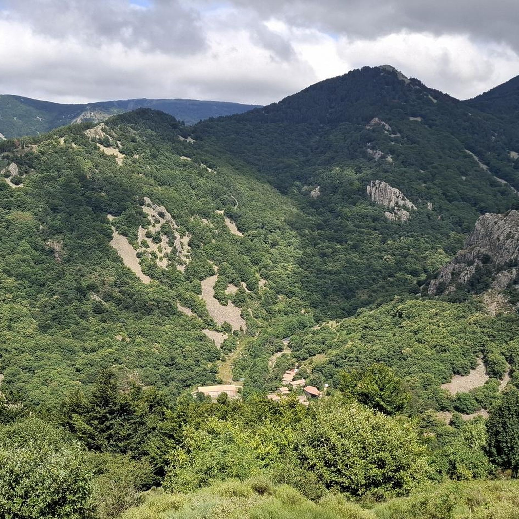
Road cycling routes around Antraigues-Sur-Volane traverse a landscape shaped by volcanic activity, featuring winding mountain roads and picturesque river valleys within the Monts d'Ardèche Regional Natural Park. The region is characterized by basalt rock formations, dense chestnut forests, and challenging ascents. Cyclists encounter varied terrain, from climbs to mountain passes to descents through river valleys.
Best road cycling routes around Antraigues-Sur-Volane
- The most popular road cycling route is Col de la Fayolle – Col des Pierres de Faux loop from Vallées-d'Antraigues-Asperjoc, a 61.2 miles (98.6 km) trail that takes 5 hours 31 minutes to complete. This difficult route features nearly 2000 meters of elevation gain, navigating through the mountainous terrain.
- Another top favourite among local road cyclists is Col d'Aizac – Col de Juvinas, Elev. 718 m loop from Vallées-d'Antraigues-Asperjoc, a moderate 25.0 miles (40.3 km) path. This route offers a substantial climb to Col d'Aizac and Col de Juvinas, providing views of the surrounding volcanic landscape.
- Local road cyclists also love the Col de Mézilhac Ascent – Col de Genestelle (648 m) loop from Laviolle, a 31.9 miles (51.4 km) trail leading through mountain passes and forested areas, often completed in about 2 hours 47 minutes.
- Road cycling around Antraigues-Sur-Volane is defined by volcanic peaks, winding mountain roads, and chestnut forests. The network offers options for easy, moderate, and difficult ability levels.
- The routes in Antraigues-Sur-Volane are highly rated by the komoot community with an average score of 4.7 stars from over 90 reviews. More than 3000 road cyclists have used komoot to explore Antraigues-Sur-Volane's varied terrain.
Last updated: July 1, 2026
4.7
(3)
131
riders
51.3km
02:48
900m
900m
Hard road ride. Very good fitness required. Mostly well-paved surfaces and easy to ride.
4.6
(5)
71
riders
63.2km
03:27
1,240m
1,240m
Hard road ride. Very good fitness required. Mostly well-paved surfaces and easy to ride.

Sign up for free
25
riders
27.7km
01:32
570m
570m
Moderate road ride. Good fitness required. Mostly well-paved surfaces and easy to ride.
20
riders
Moderate road ride. Good fitness required. Mostly well-paved surfaces and easy to ride.
5.0
(1)
8
riders
85.1km
05:07
1,790m
1,790m
Hard road ride. Very good fitness required. Some segments of this route may be unpaved and difficult to ride.
Get access to more routes and recommendations from other explorers.
Sign up for free
Already have an account?
Our route recommendations are based on thousands of hikes, rides, and runs completed by other people on komoot.
Start today with a free account
Your next adventure awaits.
Login or Signup

Tips from the Community

Located at an altitude of 1,330 meters, Lachamp-Raphaël is the highest village in the Ardèche. Dominated by the Montivernoux peak, the village offers exceptional panoramic views of the Alps and the Ardèche mountains. https://lachamp-raphael.fr/
0
0

At the end of the stairs there is asphalt again
0
0

pretty flowers, pretty trees, pretty views, but what more could you ask for...oh yes, a windbreaker, because the mistral makes his grandmother cold.
0
0
The cross is a bit ugly but it is not for it that we come to frolic in these green lands but rather for this landscape that would make a Caribou pale.
0
0
landscape that would make a caribou pale
0
0

Anyone who wants to stop for a bite to eat should stop here. There are few alternatives. A Grand Café Creme and a generous sandwich for 8 euros.
1
1

An emblematic pass by its name which refers to the legendary Ardèche race
0
0
A pass at an altitude of over 1500 m. It is the highest in Ardèche.
0
0
Frequently Asked Questions
How many road cycling routes are available around Antraigues-Sur-Volane?
There are over 80 road cycling routes around Antraigues-Sur-Volane, offering a wide range of options for different skill levels, from moderate to difficult.
What kind of terrain can I expect on road cycling routes in Antraigues-Sur-Volane?
The region offers diverse terrain shaped by volcanic activity, featuring winding mountain roads, challenging ascents to passes like the Col de Mézilhac, and descents through picturesque river valleys. You'll cycle through dense chestnut forests and past unique basalt formations.
Are there road cycling routes suitable for beginners in Antraigues-Sur-Volane?
While the area is renowned for its challenging climbs, there are a few easier road cycling routes available. The region is considered a privileged destination for cyclists of all levels, so you can find paths that suit your experience.
Are there any circular road cycling routes around Antraigues-Sur-Volane?
Yes, many routes in the area are designed as loops. For example, the challenging Col de la Fayolle – Col des Pierres de Faux loop from Vallées-d'Antraigues-Asperjoc is a popular option, as is the moderate Col d'Aizac – Col de Juvinas, Elev. 718 m loop from Vallées-d'Antraigues-Asperjoc.
What are some challenging road cycling routes for experienced riders?
Experienced riders will appreciate routes that tackle significant ascents. The Col de la Fayolle – Col des Pierres de Faux loop from Vallées-d'Antraigues-Asperjoc is a difficult 98.6 km trail with nearly 2000 meters of elevation gain. Another demanding option is the Col de Mézilhac Ascent – Col de Genestelle (648 m) loop from Laviolle, which covers 51.4 km through mountain passes.
What are the best seasons for road biking in Antraigues-Sur-Volane?
The Monts d'Ardèche Regional Natural Park is generally best explored during spring and autumn when temperatures are milder and the natural scenery is vibrant. Summer can be warm, especially on climbs, but offers long daylight hours. Winter can bring colder temperatures and potential snow at higher elevations.
What scenic viewpoints or natural attractions can I see along the road cycling routes?
The routes often provide stunning views of the volcanic landscape and river valleys. You might pass by natural monuments such as the impressive Ray-Pic Waterfall with its basalt columns, or the picturesque Pourcheyrolles Waterfall. The La Volane River also offers beautiful riverside scenery.
Are there any notable mountain passes to conquer in the area?
Absolutely. The region is famous for its challenging mountain passes, frequently featured in cyclosportive events like 'L'Ardéchoise'. Key passes include Col de Mézilhac (1,119 m), Col des Pierres de Faux, and Col de Joux, offering significant elevation gains and rewarding views.
What do other road cyclists enjoy most about road cycling in Antraigues-Sur-Volane?
The area is highly rated by the komoot community, with an average score of 4.7 stars from over 90 reviews. Cyclists often praise the challenging climbs, the stunning volcanic landscapes, and the quiet, winding mountain roads through chestnut forests.
Are there any cultural or historical sites near the cycling routes?
Antraigues-sur-Volane itself is a designated 'village de caractère' with medieval charm, stone houses, and unique lava stone sculptures. You can explore its narrow streets or visit the Maison Jean Ferrat, dedicated to the famous French singer who resided there. Many routes pass through or near such picturesque villages.
How long do road cycling routes typically take in this region?
Route durations vary significantly based on distance and elevation. For instance, a moderate 40.3 km loop like Col d'Aizac – Col de Juvinas, Elev. 718 m loop from Vallées-d'Antraigues-Asperjoc might take around 2 hours 8 minutes, while a difficult 98.6 km route such as Col de la Fayolle – Col des Pierres de Faux loop from Vallées-d'Antraigues-Asperjoc could take over 5 hours.
Are there less crowded road bike routes available?
While the region is popular, especially during cyclosportive events, the extensive network of winding mountain roads means you can often find quieter paths. Exploring routes that venture slightly off the main passes can lead to more secluded and peaceful cycling experiences through the forested areas.
Most popular routes around Antraigues-Sur-Volane
Most popular attractions around Antraigues-Sur-Volane

Get inspired with the komoot mobile app


Explore more
Browse the best Road cycling routes in other regions.
