The best walks and hikes around Laupersdorf
4.6
(643)
3,642
hikers
16
hikes
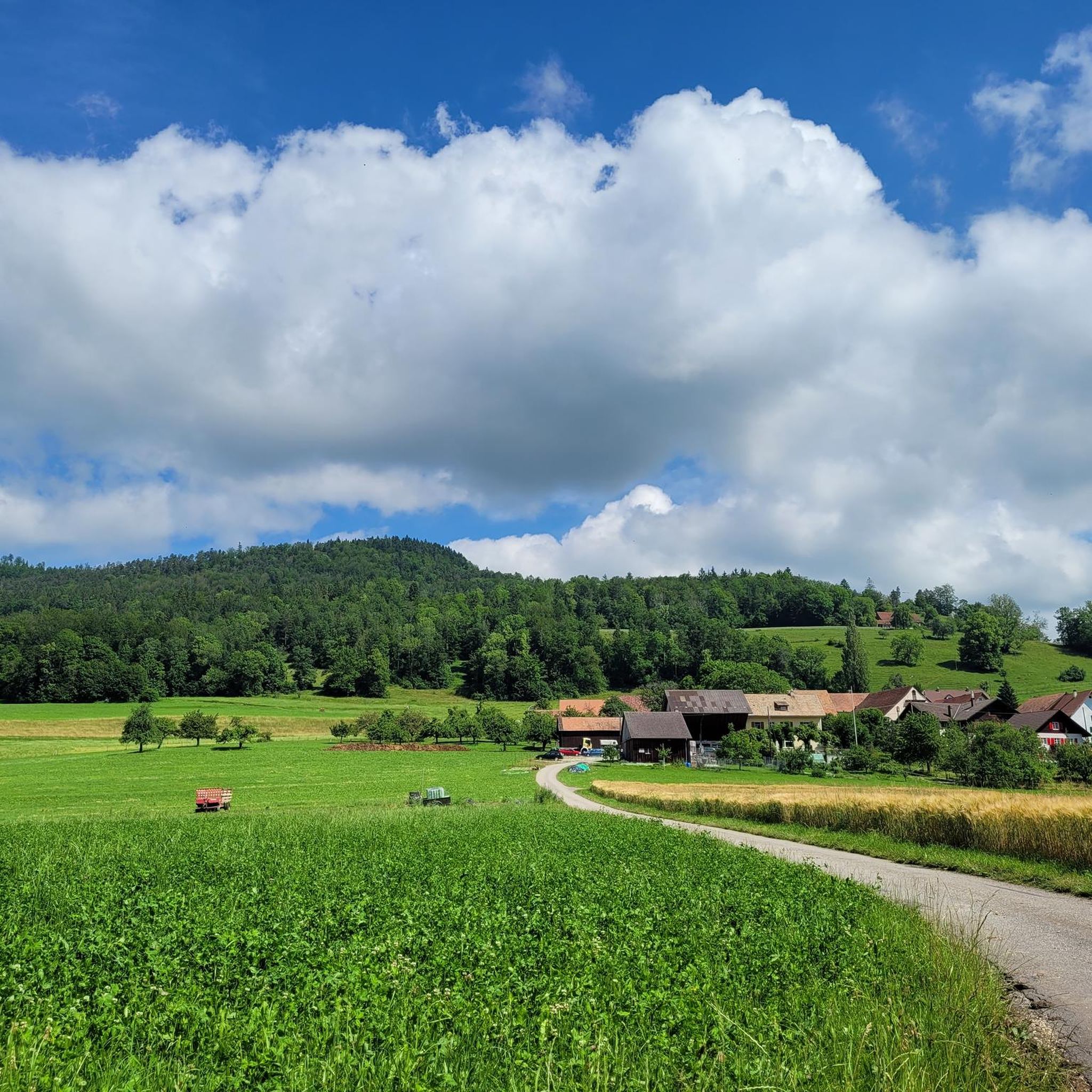
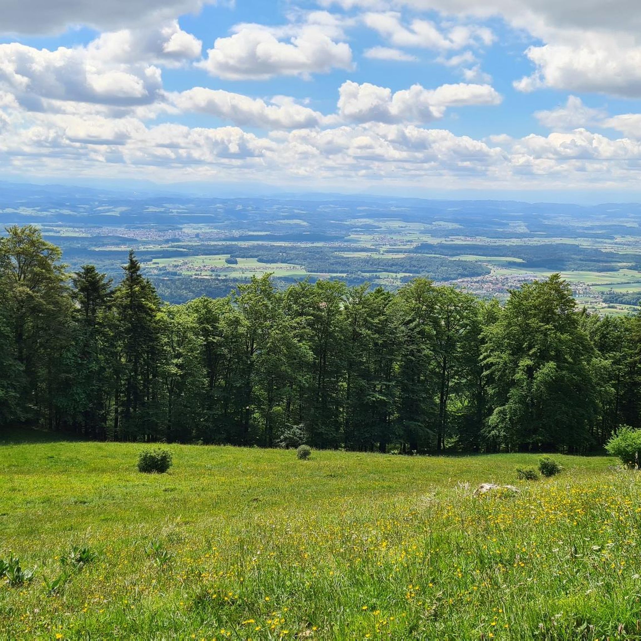
Hiking around Laupersdorf offers diverse landscapes within Switzerland's Naturpark Thal. The region features forested hills, open meadows, and mountainous paths, providing varied terrain for outdoor activities. Hikers can explore areas characterized by natural beauty and a commitment to preserving the environment. The elevation changes across the trails range from gentle ascents to more challenging climbs.
Best hiking trails around Laupersdorf
- The most popular hiking route is Brunnersberg – Way to Brunnersberg loop from Laupersdorfer Stierenberg, a 5.3 miles (8.6…
Last updated: June 27, 2026
5.0
(2)
40
hikers
8.59km
02:24
170m
170m
Moderate hike. Good fitness required. Easily-accessible paths. Suitable for all skill levels.
5
hikers
Moderate hike. Good fitness required. Easily-accessible paths. Suitable for all skill levels.

Sign up for free
5
hikers
7.99km
02:31
300m
300m
Moderate hike. Good fitness required. Easily-accessible paths. Suitable for all skill levels.
5.0
(1)
7
hikers
19.3km
06:27
790m
790m
Hard hike. Very good fitness required. Mostly accessible paths. Sure-footedness required.
3
hikers
5.73km
01:46
200m
200m
Easy hike. Great for any fitness level. Easily-accessible paths. Suitable for all skill levels.
Get access to more routes and recommendations from other explorers.
Sign up for free
Already have an account?
Our route recommendations are based on thousands of hikes, rides, and runs completed by other people on komoot.
Start today with a free account
Your next adventure awaits.
Login or Signup

Tips from the Community


The mountain restaurant is called Hinteregg – it even says so in the photo above the entrance! Wednesday and Thursday are rest days and the restaurant is closed.
0
0

Beautiful mountain restaurant with overnight accommodation. We spent our last night there on our long-distance hike from Tarifa (Spain) to Switzerland and can highly recommend the accommodation.
5
1

The Alpenblick restaurant in the Thal Nature Park is located on the southern slope of the Passwang in the Solothurn Jura and offers an impressive view of the Alps. It is a popular destination for hikers, cyclists, bikers and motorists who want to enjoy the cozy atmosphere and fresh mountain air on the sun terrace. The inn also offers inexpensive food, drinks and accommodation directly behind the Intschi-Arnisee mountain station. The owners spoil their guests with aromatic cuisine, excellent wines and lovingly renovated hotel rooms, and in the evenings they even offer a snowmobile service to the village. More information here: www.alpenblick-passwang.ch.
2
0


The south flank is very beautiful both up and down.
0
0

Nice restaurant with very friendly service
0
0

Small mountain farm slightly off the beaten track
0
1
Frequently Asked Questions
What types of landscapes can I expect to see while hiking around Laupersdorf?
Laupersdorf, nestled within Switzerland's Naturpark Thal, offers a diverse range of landscapes. You'll encounter picturesque forested hills, expansive open meadows, and mountainous paths. The region is known for its natural beauty and commitment to preserving its environment, providing varied terrain for all outdoor enthusiasts.
Are there hiking trails suitable for beginners or those looking for an easy walk?
Yes, Laupersdorf offers several easy hiking options. For instance, the Self-Service Beer Garden – Laupersdörfer Stierenberg loop from Solothurn is an easy 5.7 km trail that takes about 1 hour 46 minutes, leading through open areas and forested sections. Overall, there are 3 easy routes available in the area.
What are some notable viewpoints or landmarks I can visit on a hike?
The region boasts several impressive viewpoints and historical landmarks. You can enjoy panoramic views from Balmfluehchöpfli or Roggenflue. For a cultural touch, the Ruins of Neu-Falkenstein Castle are a frequent point of interest on various hiking loops. Additionally, highlights like the Hohe Winde Summit and Hirnichopf Summit offer stunning vistas.
Are there any circular hiking routes available in Laupersdorf?
Yes, many of the trails around Laupersdorf are designed as circular routes, allowing you to start and end at the same point. A popular moderate option is the Brunnersberg – Way to Brunnersberg loop from Laupersdorfer Stierenberg, which is 8.6 km long and features forested sections with views from higher ground.
What do other hikers say about the trails in Laupersdorf?
The hiking routes in Laupersdorf are highly regarded by the komoot community, with an average score of 4.6 stars from over 500 reviews. More than 3,000 hikers have explored the varied terrain, often praising the diverse landscapes, well-maintained paths, and the blend of natural beauty with cultural points of interest like castle ruins.
Can I reach the hiking trails using public transport?
Laupersdorf is integrated into the regional transport network, making it possible to access many trailheads via public transport. Specific routes, such as the Gauchrain – Bremgartenfluh Mountain Restaurant loop from Solothurn, can be started from nearby towns like Solothurn, which are well-connected.
Are there any challenging hikes for experienced trekkers?
Yes, for those seeking a more demanding experience, there are challenging routes available. The Hällchöpfli Ridge Trail – Höllchöpfli Viewpoint loop from Solothurn is a difficult 19.3 km trail with significant elevation gain, offering a strenuous but rewarding adventure through mountainous terrain.
What is the best season for hiking in Laupersdorf?
The region around Laupersdorf offers enjoyable hiking experiences throughout much of the year. Spring and autumn provide pleasant temperatures and vibrant scenery, while summer is ideal for longer days and higher-altitude routes. Winter can also offer opportunities for snowshoeing or winter hiking, though conditions should be checked beforehand.
Are there places to eat or rest along the hiking trails?
Yes, some routes incorporate amenities. For example, the Gauchrain – Bremgartenfluh Mountain Restaurant loop from Solothurn leads directly to a mountain restaurant, providing a convenient stop for refreshments and meals. Other trails might pass by self-service options or traditional Swiss eateries in nearby villages.
How many hiking trails are available in the Laupersdorf area?
There are over a dozen distinct hiking trails around Laupersdorf, offering a variety of distances and difficulty levels. This includes 3 easy routes, 12 moderate routes, and 1 difficult route, ensuring options for every hiker.
Are there any specific natural features or flora to look out for?
As part of the Naturpark Thal, the area is rich in diverse flora and fauna. Hikers can expect to see special flowers and a variety of plant life, particularly in the forested sections and open meadows. The park emphasizes preserving its natural environment, making it a great place for nature observation.
Most popular routes around Laupersdorf
Most popular attractions around Laupersdorf

Get inspired with the komoot mobile app


Explore more
Browse the best Hikes in other regions.
