The best running trails around Laupersdorf
4.3
(78)
2,731
runners
169
runs
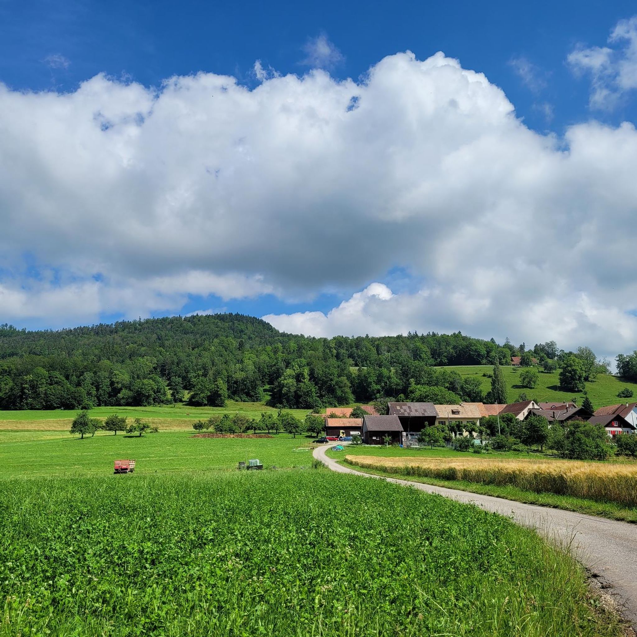
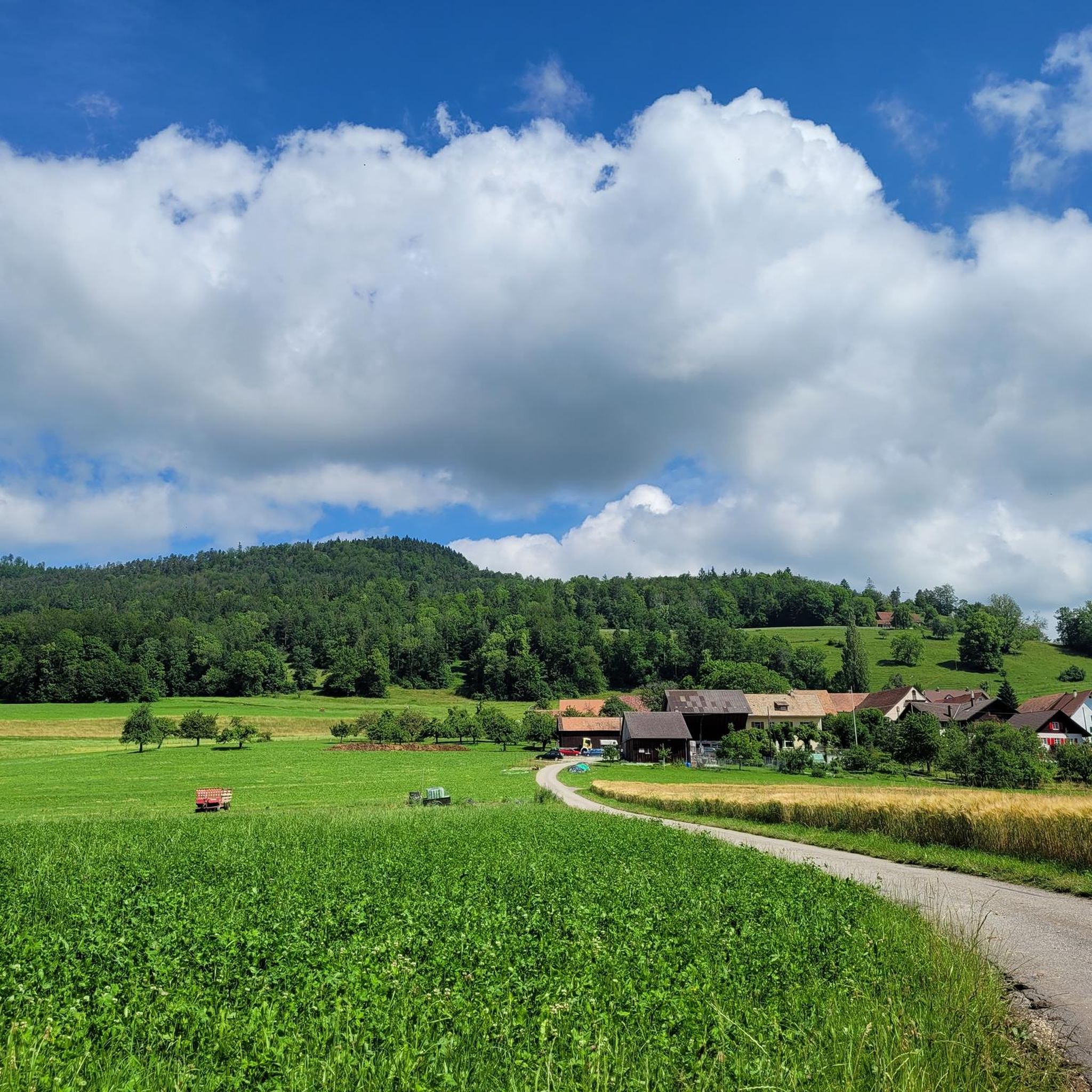
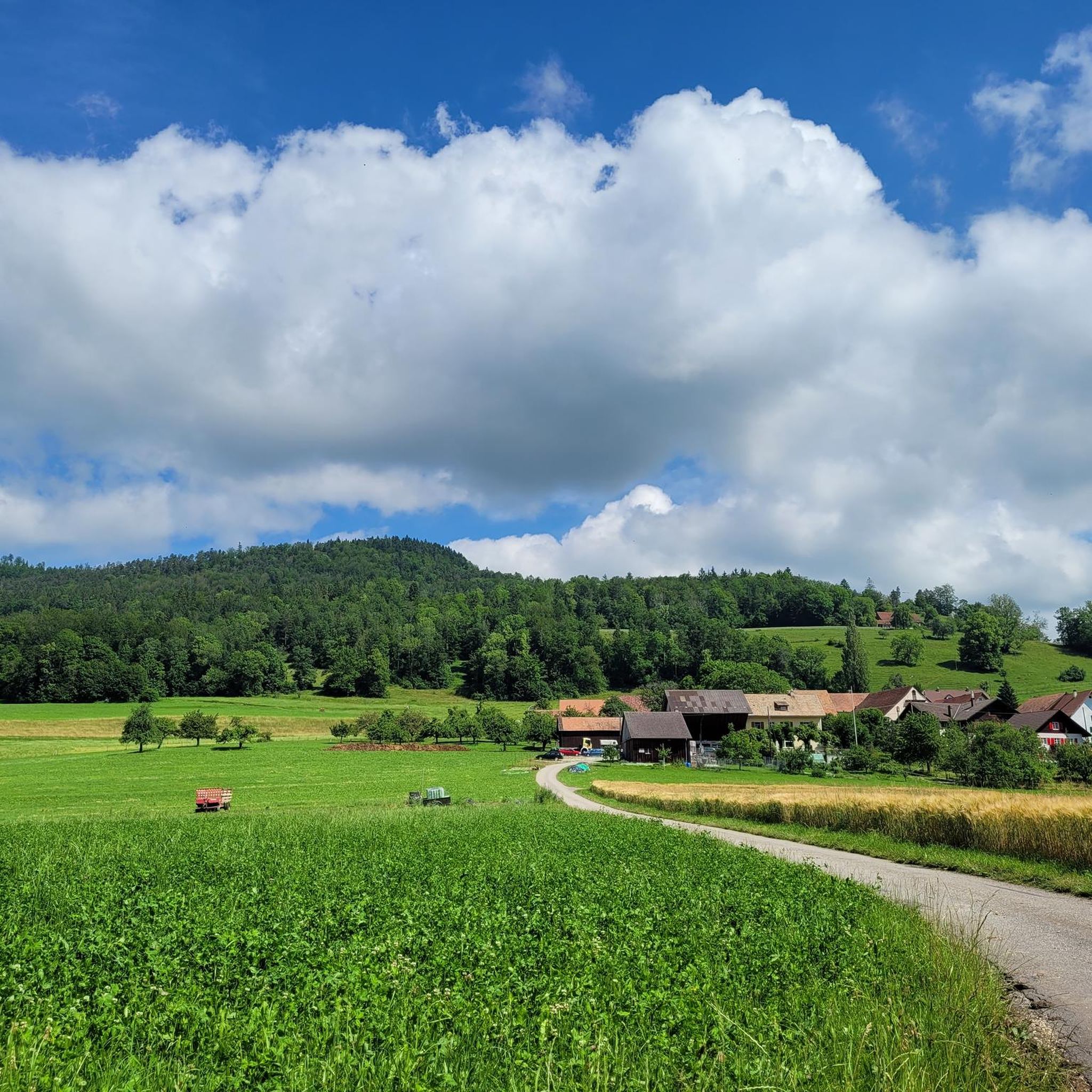
Jogging around Laupersdorf offers diverse terrain within the Thal Nature Park, situated in the Jura Mountains. The region features wooded hillsides, open meadows, and the Dünnern River valley, providing varied running experiences. Trails range from gentle paths to more challenging routes with significant elevation changes, suitable for different fitness levels.
Best jogging routes around Laupersdorf
- The most popular jogging route is Running loop from Balsthal, a 4.8 miles (7.8 km) trail that takes about 58 minutes to complete. This…
Last updated: May 15, 2026
15
runners
7.80km
00:58
330m
330m
Hard run. Very good fitness required. Mostly paved surfaces. Suitable for all skill levels.
14
runners
7.20km
00:49
180m
190m
Moderate run. Good fitness required. Mostly paved surfaces. Suitable for all skill levels.

Sign up for free
7
runners
15.1km
02:16
790m
790m
Hard run. Very good fitness required. Sure-footedness, sturdy shoes and alpine experience required.
9
runners
8.07km
00:53
140m
140m
Moderate run. Good fitness required. Mostly paved surfaces. Suitable for all skill levels.
8
runners
11.9km
01:27
440m
430m
Hard run. Very good fitness required. Mostly paved surfaces. Suitable for all skill levels.
Get access to more routes and recommendations from other explorers.
Sign up for free
Already have an account?
Our route recommendations are based on thousands of hikes, rides, and runs completed by other people on komoot.
Start today with a free account
Your next adventure awaits.
Login or Signup

Tips from the Community

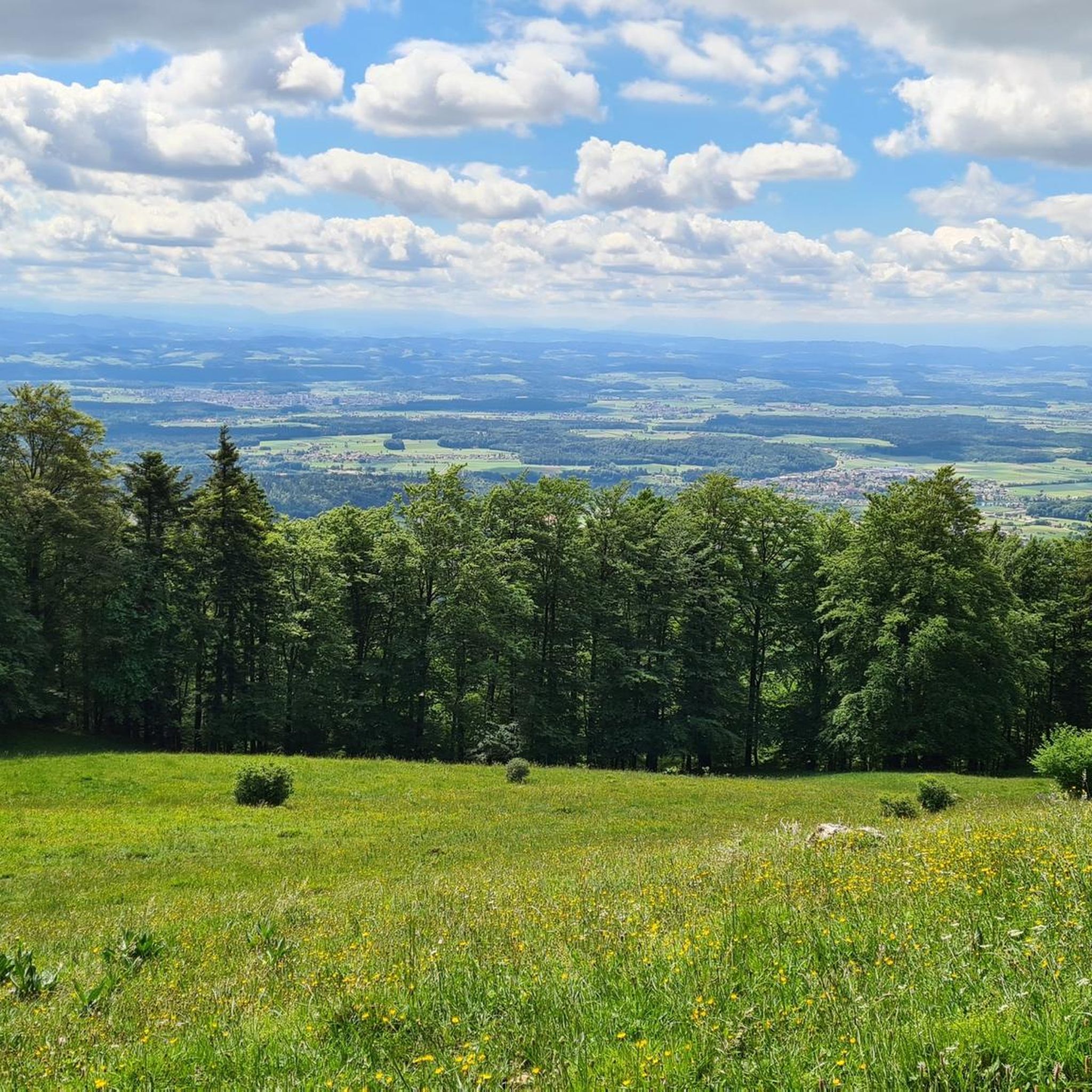
The 1,204 meter high Vogelberg offers a wonderful view, normally you can see as far as the Alps. Accessible from both sides via a technical single trail.
0
0

Beautiful summit and viewpoint at 1204 meters
6
1
The signpost is located just below the Vogelberg
5
0
Beautiful ridge path from the Rochus Chapel to the Vogelberg
8
0
The signpost is located below the Chellenchöpfli
5
1

Near Balsthal, this ancient Roman road served to connect Solothurn, Oensingen, Ober Hauenstein, Liestal and Basel. It offers a stroll in a pretty bucolic setting.
0
0

An educational and historical - very pleasant route!
0
0

Attention to those who have vertigo
2
0
Frequently Asked Questions
How many running routes are available around Laupersdorf?
Laupersdorf, nestled within the Thal Nature Park, offers a wide variety of running experiences. You'll find over 170 jogging routes in the area, catering to different fitness levels and preferences. These trails wind through diverse landscapes, from the Dünnern River valley to the wooded hillsides of the Jura Mountains.
What kind of terrain can I expect on the jogging trails near Laupersdorf?
The terrain around Laupersdorf is quite varied, reflecting its location in the Jura Mountains and Thal Nature Park. You can expect a mix of wooded hillsides, open meadows, and paths along the Dünnern River valley. Some routes offer gentle, flatter sections, while others feature significant elevation changes, providing more challenging ascents and descents.
Are there any easy jogging routes suitable for beginners or a relaxed run?
Yes, for those seeking a less strenuous run, there are several easy jogging routes available. The region offers around 8 easy trails, perfect for beginners or a leisurely pace through the scenic landscapes of the Thal Nature Park. These routes often feature accessible paths through meadows and forests.
Can I find routes with scenic viewpoints or natural landmarks?
Absolutely! The Jura Mountains offer panoramic views. From higher vantage points, you can often see the Central Plateau, and on clear days, even the distant Alps, Vosges, and Black Forest. For a rewarding run with incredible scenery, consider trails around the Hohe Winde Summit. You might also encounter historical sites like the Ruins of Neu-Falkenstein Castle or the Balmfluh Castle Ruins along some paths.
Are there any circular running routes around Laupersdorf?
Yes, many of the running routes in the Laupersdorf area are designed as loops, allowing you to start and finish at the same point. For example, the Roman Road (Römerweg) loop from Solothurn is a moderate 8.1 km trail that offers a pleasant circular experience. Another option is the Leisiweiher loop from Solothurn, a moderate 7.2 km path around the beautiful Leisiweiher lake.
What are the typical distances and durations for jogging trails in this region?
Running trails around Laupersdorf vary significantly in length and duration. You can find shorter routes, like the Running loop from Balsthal, which is about 7.8 km and takes roughly 58 minutes. For a longer challenge, the Vogelberg Summit – View of the Alps from Passwang loop from Mümliswil covers about 15.1 km and typically takes around 2 hours 16 minutes to complete.
Are there any family-friendly running options or themed trails?
While specific 'family-friendly' jogging routes are not explicitly listed, the Thal Nature Park features themed and adventure trails that can be engaging for families. For instance, the geological trail Gänsbrunnen offers insights into the Jura's formation. Many of the easier, flatter paths through meadows and forests would also be suitable for families looking for a gentle run or walk.
What do other runners enjoy most about jogging in Laupersdorf?
The running routes around Laupersdorf are highly rated by the komoot community, with an average score of 4.3 stars from over 75 reviews. Runners often praise the diverse terrain, the immersive experience in nature, and the opportunities for panoramic views. The extensive network of trails ensures there's something for every ability level.
Are there any routes that offer significant elevation gain for a challenging workout?
Yes, if you're looking for a challenging workout with significant elevation gain, Laupersdorf has options. The Vogelberg Summit – View of the Alps from Passwang loop from Mümliswil, for example, involves nearly 800 meters of ascent over 15.1 km, making it a demanding but rewarding run. The Bättlerchuchi viewpoint loop from Rumisberg also offers over 430 meters of elevation gain across its 11.9 km.
Are there places to stop for refreshments along the trails?
Yes, the region is known for its mountain restaurants. Along many routes, especially those in the higher elevations or popular hiking areas, you can find mountain restaurants that offer opportunities for refreshment. These can be a welcome stop during a longer run or a pleasant reward at the end of a challenging trail.
What is the best time of year to go jogging in Laupersdorf?
Laupersdorf offers enjoyable jogging experiences throughout much of the year. Spring and autumn provide pleasant temperatures and beautiful scenery with blooming flowers or vibrant fall foliage. Summer is also great, with forests offering shade on warmer days. While winter can bring snow, some trails may still be accessible, offering a unique, serene running experience.
Are the running trails around Laupersdorf accessible by public transport?
Laupersdorf is part of the well-connected Swiss public transport network. Many trailheads in the Thal Nature Park are accessible by bus or train, making it convenient to reach your starting point without a car. It's always advisable to check local public transport schedules for specific route access points.
Most popular routes around Laupersdorf
Most popular attractions around Laupersdorf

Get inspired with the komoot mobile app


Explore more
Browse the best Running Trails & Routes in other regions.
