Top 7 Natural Monuments around Fillinges
Natural monuments around Fillinges offer a blend of geological interest, biodiversity, and scenic beauty in Haute-Savoie, France. The commune is situated near significant natural areas like Mont Vouan and the Massif des Voirons, providing diverse landscapes. These sites feature geological formations, historical quarries, and extensive mid-mountain forests. The region's natural features make it a notable destination for outdoor exploration.
Best natural monuments around Fillinges
- The most popular natural monuments is Le Môle summit cross, a summit that offers exceptional…
Last updated: July 2, 2026
Pointe des Brasses
Highlight • Summit
Les Brasses …
Translated by Google •
Tip by

La Gouille aux Morts
Highlight • Lake
Gouille aux Morts: What an ugly name for this charming little pond. Beavers, mallards, herons, and especially frogs …
Translated by Google •
Tip by
Sign up now to discover places like this
Get recommendations on the best single tracks, peaks, & plenty of other exciting outdoor places.
Sign up for free
Copacou Stone
Highlight • Natural Monument
The rock is very steep on the descent side, but flat on the other side …
Translated by Google •
Tip by

Le Môle summit cross
Highlight • Summit
Translated by Google •
Tip by

Fairies' Stone
Highlight • Natural Monument
fr.wikipedia.org/wiki/Pierre-aux-F%C3%A9es_(Reignier)
Translated by Google •
Tip by

Sign up for free to discover even more natural monuments around Fillinges.
Sign up for free
Already have an account?
Start today with a free account
Your next adventure awaits.
Login or Signup
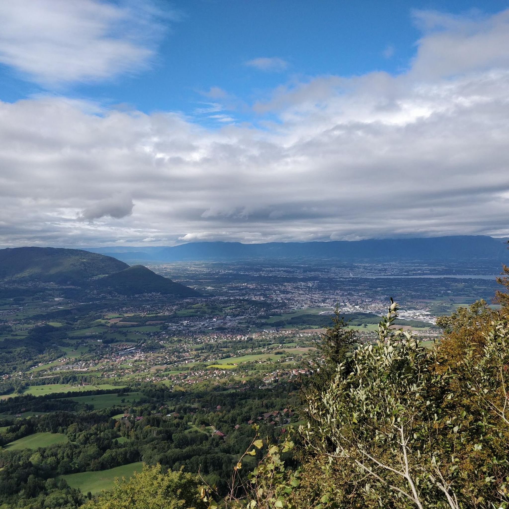
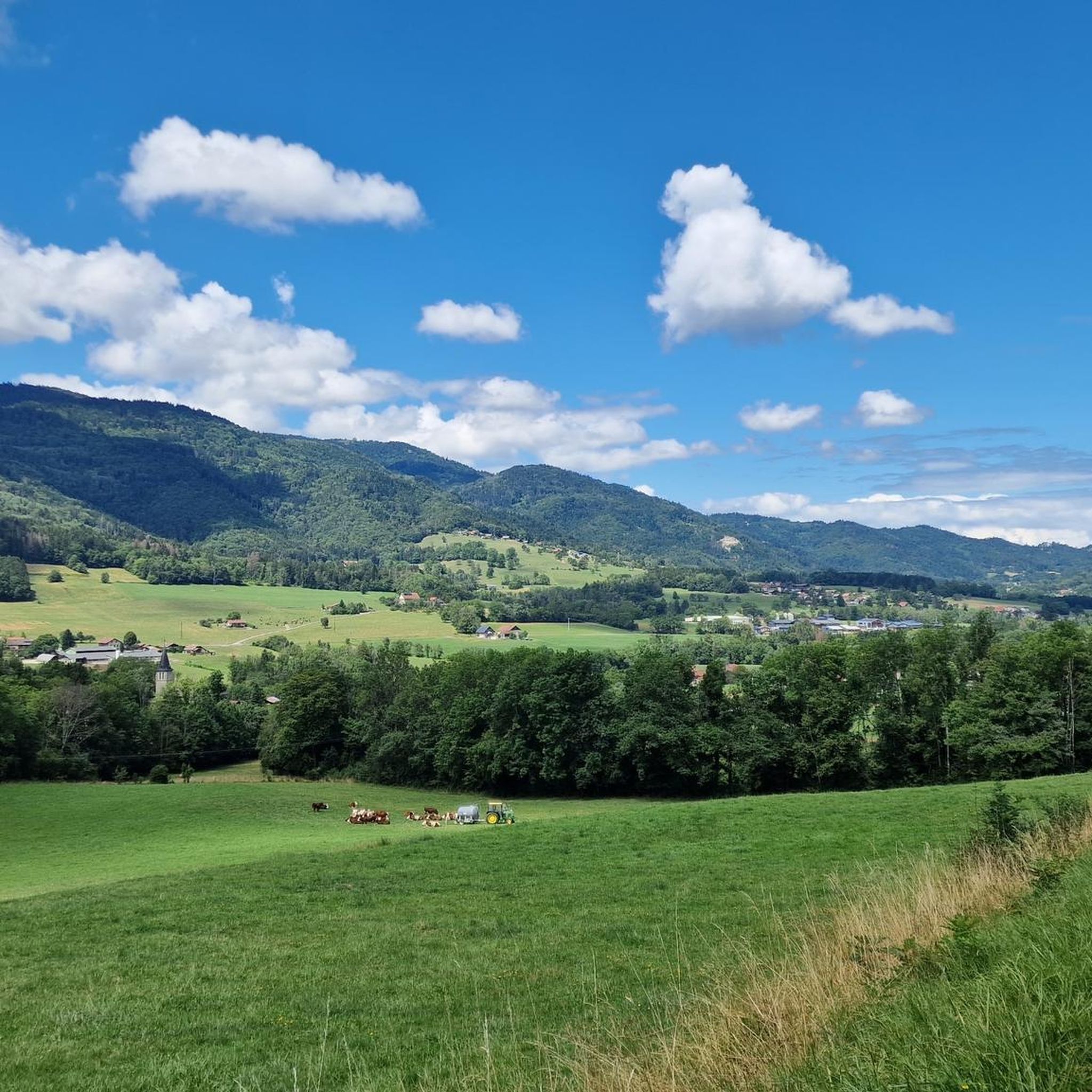
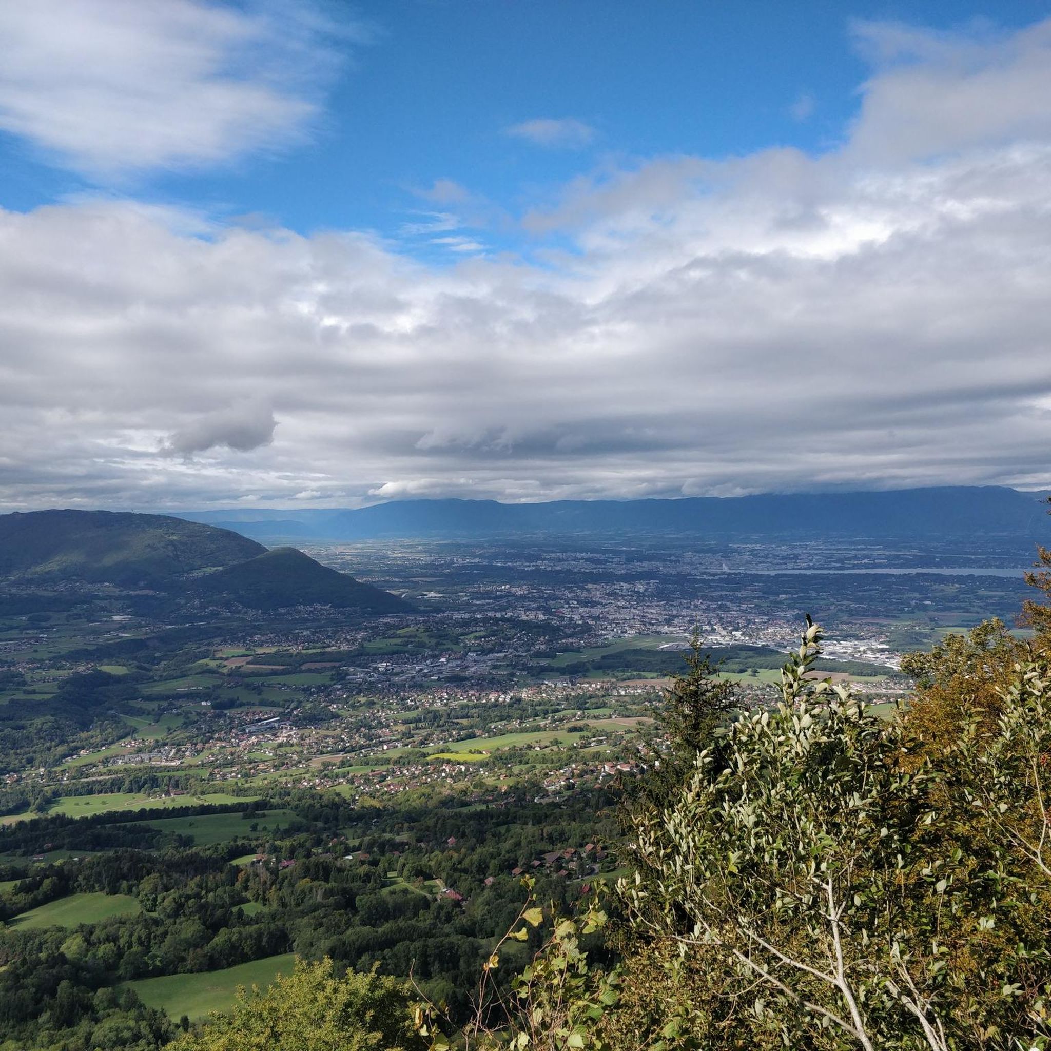
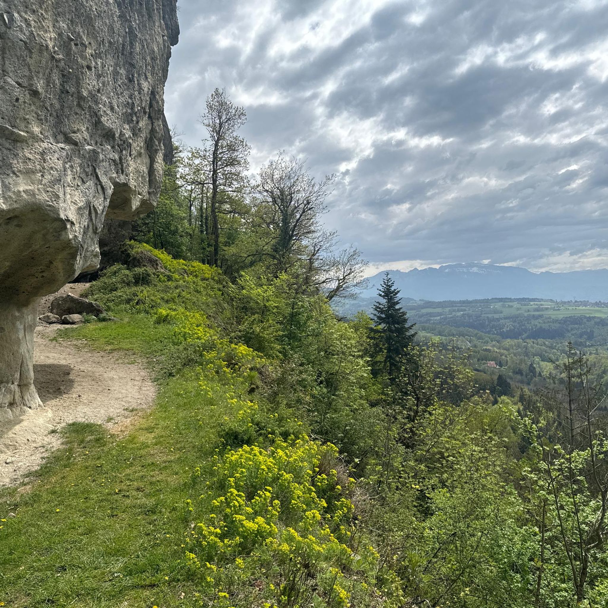

Tips from the Community

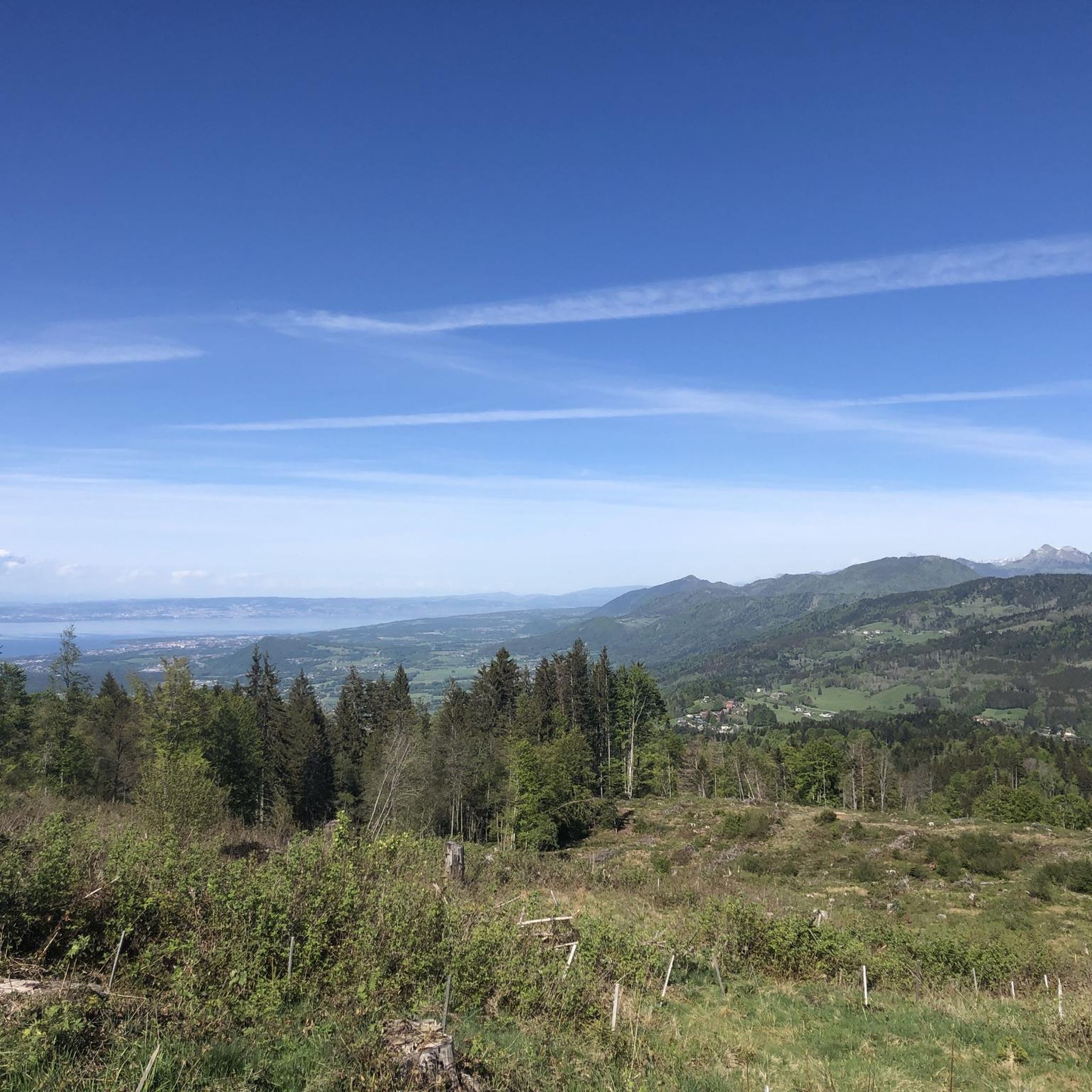
Intersection Point: La Gouille aux Morts (Pond of the Dead) Altitude 650m Gouille aux Morts: What an ugly name for this charming little pond. Beavers, mallards, herons, and especially frogs take shelter in its tall grass and breed there. The place is calm and peaceful, far from the road to the Vallée Verte (Green Valley), although you can still hear the sounds of traffic. Above it, the Molière à Vachat stream is mirrored in its waters. Its reflection blends with the water lilies scattered there, creating perfect harmony. A delight for the eye of the walker. It's impossible not to think of Monet's "Water Lilies." It is said that, long ago, two stonemasons working at the "Molière," located about fifty meters above, fell to their deaths there on a Sunday (yes, a Sunday...the Lord's Day). See: H. Savoie: Les Molières du Mont Vouan. Or perhaps the pond got its name because a peasant was swallowed up there with his cart...
1
0

Very nice hike. It was quite crowded today. Contrary to what’s written in the description, I didn’t see any particularly risky passages
0
0


It can blow hard up there! I recommend the path that goes down to La Tour from the east
0
1

Nice place to take a break but not worth a hike on its own. Nice view of the Rocafort castle less than 10 minutes away on foot. This stone is also located about thirty minutes from the Penaz waterfall which is worth the detour.
1
0

The cross means summit of the Brasse mountain
1
0
Pointe des Brasses is a summit of Haute-Savoie located in the Chablais massif, straddling the municipalities of Saint-Jeoire and Viuz-en-Sallaz, and culminating at 1,503 meters above sea level. Les Brasses is a toponym from a mountain pasture located above Viuz-en-Sallaz2. It could derive from the German Brache, which designates fallow or fallow land2,3, or from the Old German braka meaning “clearing”3. It is possible that it also derives from the Latin bracchium3 (“arm”), referring to the arms of the river, three of which have their source in Brasses: the Menoge, the Entreverges and Airets streams. In June 2013, a cross made by students from the Viuz-en-Sallaz Catholic Automobile School was erected on its summit. Six meters high, it is made up of 33 metal cubes measuring 30 centimeters on each side, assembled on site and arranged in a spiral by the students themselves. She was blessed on July 7, 2013 by Mgr Boivineau, Bishop of Annecy.
1
0
Frequently Asked Questions
What are some of the most popular natural monuments to visit around Fillinges?
Visitors frequently enjoy the exceptional views from Le Môle summit cross, where Mont Blanc is prominently visible. Another favorite is La Gouille aux Morts, a charming and peaceful lake known for its wildlife. The archaeological site of Copacou Stone also offers magnificent valley views.
Are there family-friendly natural monuments near Fillinges?
Yes, La Gouille aux Morts is considered family-friendly, offering a calm environment where children can observe beavers, mallards, and frogs. The Fairies' Stone, an ancient dolmen, is also a family-friendly historical site that can spark curiosity.
What kind of historical or geological features can I explore among the natural monuments?
The region is rich in both. Mont Vouan, partly in Fillinges, is known for its 72 accessible millstone quarries and is classified as a French historical monument. You can also visit the Copacou Stone, an archaeological site considered a sacrificial and chalice stone, offering a glimpse into ancient practices. The Fairies' Stone is a dolmen dating back to 3200-2800 BC.
What natural features, like lakes or waterfalls, can be found?
You can discover La Gouille aux Morts, a serene lake providing shelter for various wildlife. Additionally, the Cascade du Dard offers a beautiful waterfall experience within a forest setting.
Are there good viewpoints among the natural monuments around Fillinges?
Absolutely. The Le Môle summit cross provides exceptional panoramic views, including Mont Blanc. The Copacou Stone also offers a magnificent view of the valley. For broader vistas, the Signal des Voirons in the Massif des Voirons provides phenomenal views towards Lake Geneva and the surrounding mountains on a clear day.
What outdoor activities can I do near these natural monuments?
The area around Fillinges is excellent for outdoor activities. You can find numerous hiking trails, including easy loops like the 'Ponts et moulins' trail, or more challenging mountain hikes. There are also road cycling routes available. For more details on routes, you can explore the Hiking around Fillinges guide, Mountain Hikes around Fillinges guide, and Road Cycling Routes around Fillinges guide.
Are there specific hiking trails that lead to or pass by these natural monuments?
Yes, for instance, the 'Ponts et moulins' (Bridges and Mills) trail is an easy 1.5-hour loop around Fillinges that winds through woodlands along the Foron river, offering views of peaks like Bargy, Aravis, and Môle. For a more challenging experience, routes like 'Petit Môle – Le Môle loop from Ayse' can take you towards the Le Môle summit cross. You can find more options in the Hiking around Fillinges guide.
What is the best time of year to visit the natural monuments around Fillinges?
The spring, summer, and autumn months generally offer the best conditions for exploring, with pleasant weather for hiking and clear views. Some areas, like the Massif des Voirons, may have vehicle access restrictions in place since 2022 to enhance pedestrian safety and preserve nature, which is particularly beneficial during warmer months. Always check local conditions before your visit.
Is there parking available near the natural monuments?
While specific parking details for each monument vary, general parking is often available in or near the communes that host these sites. For example, when visiting Mont Vouan or the Massif des Voirons, you'll typically find designated parking areas. However, vehicle access within parts of the Massif des Voirons has been restricted since 2022 to promote pedestrian access.
What kind of wildlife can I expect to see?
The region, especially areas like the Massif des Voirons, is a haven for biodiversity. At La Gouille aux Morts, you might spot beavers, mallards, herons, and frogs. The Massif des Voirons is also an important migratory corridor for species like the lynx, though spotting one is rare. It boasts six habitats and six species of European interest.
Are there any hidden natural gems or less-known spots worth discovering?
While not widely publicized, the 'Ponts et moulins' trail offers a picturesque and easy loop around Fillinges, winding through woodlands and providing views of the surrounding peaks. Exploring the historical millstone quarries of Mont Vouan also offers a unique blend of natural beauty and industrial heritage that might be less known to casual visitors.
What makes the Massif des Voirons significant?
The Massif des Voirons, partly encompassing Fillinges, is a Natura 2000 site spanning nearly 1000 hectares. It's highly significant for its rich biodiversity, hosting six habitats and six species of European interest, along with two protected plant species. Its extensive mid-mountain forest and role as a migratory corridor for species like the lynx make it a vital natural area. Vehicle access has been restricted since 2022 to preserve its integrity and enhance pedestrian experience.
Most popular routes around Fillinges
Most popular attractions around Fillinges

Get inspired with the komoot mobile app


Explore more
Extend your search for the best caves by checking out these guides of the top ones around Fillinges:
