The best cycling routes around Fillinges
4.5
(285)
5,596
riders
17
rides
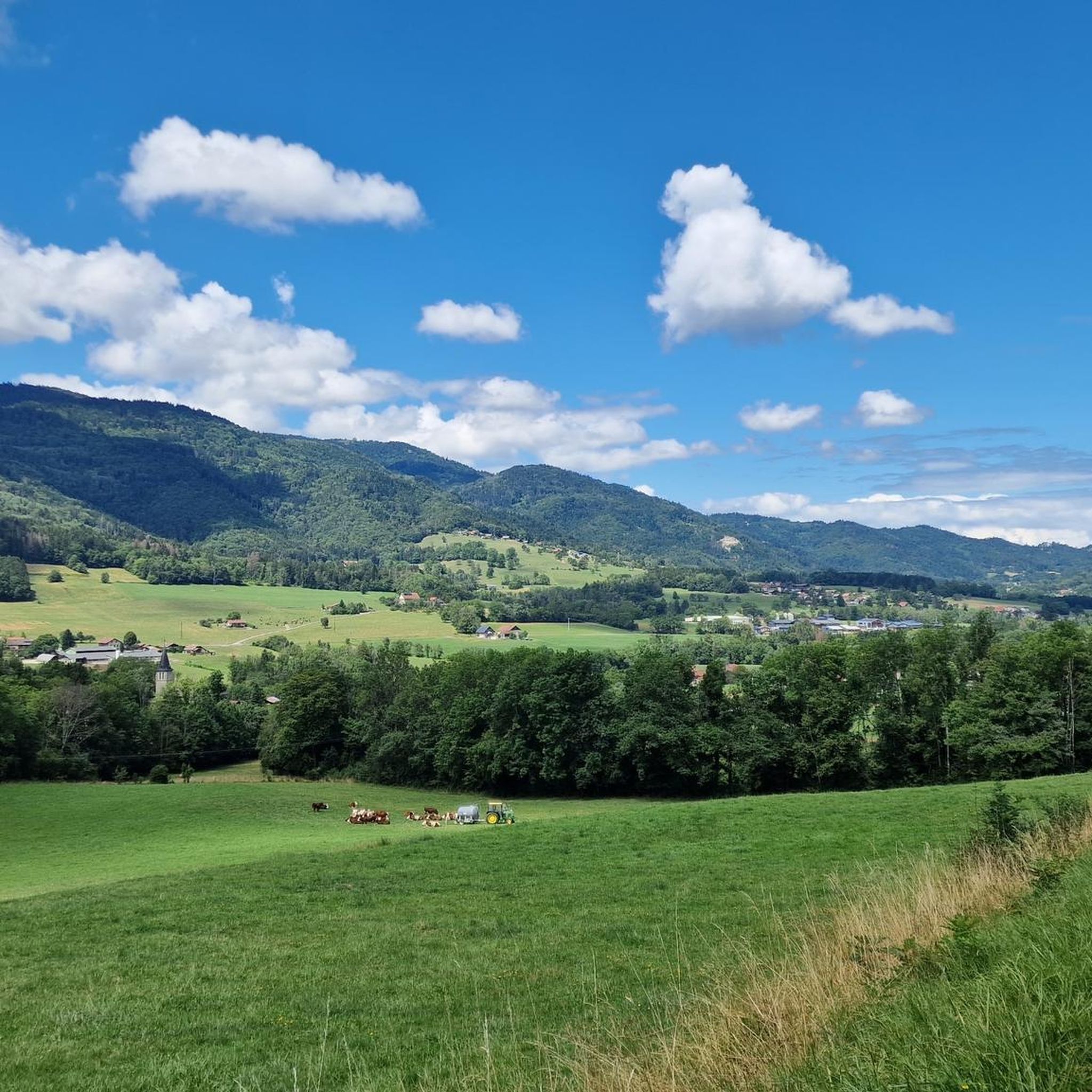
Touring cycling routes around Fillinges are set within the mountainous landscapes of Haute-Savoie, France, at the foot of the Vallée Verte. The region is characterized by diverse natural features, including the Massif des Voirons and the Arve and Giffre valleys. The Fillinges plateau, shaped by glacial history, contributes to varied terrain suitable for cycling.
Best touring cycling routes around Fillinges
- The most popular touring cycling route is Vieux Pont de Marignier – Bridge in Bonneville loop from Fillinges, a…
Last updated: May 14, 2026
4.6
(16)
428
riders
45.4km
02:55
560m
560m
Hard bike ride. Very good fitness required. Mostly paved surfaces. Suitable for all skill levels.
4.8
(17)
168
riders
32.4km
02:45
150m
150m
Moderate bike ride. Good fitness required. Mostly paved surfaces. Suitable for all skill levels.

Sign up for free
119
riders
85.0km
06:18
1,990m
1,990m
Hard bike ride. Very good fitness required. Mostly paved surfaces. Suitable for all skill levels.
26
riders
34.7km
02:22
380m
380m
Moderate bike ride. Good fitness required. Mostly paved surfaces. Suitable for all skill levels.
20
riders
34.6km
02:31
770m
770m
Hard bike ride. Very good fitness required. Mostly paved surfaces. Suitable for all skill levels.
Get access to more routes and recommendations from other explorers.
Sign up for free
Already have an account?
Our route recommendations are based on thousands of hikes, rides, and runs completed by other people on komoot.
Start today with a free account
Your next adventure awaits.
Login or Signup

Tips from the Community

Take a little detour 🤩 beautiful lake!! Take a walk around it!
0
0


Back on the road, crossing with the gravel climb
0
0


Frequently Asked Questions
How many touring cycling routes are available around Fillinges?
There are 18 touring cycling routes available around Fillinges. These routes cater to various skill levels, with 10 moderate and 8 difficult options.
What are the typical difficulty levels for touring cycling routes in Fillinges?
The touring cycling routes in Fillinges are primarily categorized as moderate or difficult. There are 10 moderate routes, offering a good challenge, and 8 difficult routes for more experienced cyclists seeking significant climbs and longer distances.
What natural landmarks can I see while cycling around Fillinges?
While cycling around Fillinges, you can encounter several natural landmarks. The region is known for the Massif des Voirons, a significant natural area. You might also pass by La Gouille aux Morts, a peaceful pond known for its wildlife. Mountain passes like Col de Saxel are also prominent features in the landscape.
Are there any circular touring cycling routes around Fillinges?
Yes, several touring cycling routes around Fillinges are designed as loops. For example, the Vieux Pont de Marignier – Bridge in Bonneville loop from Fillinges and the Saxel pass – Cou Pass (1116 m) loop from Fillinges are popular circular options, allowing you to start and end in the same location.
What is the best time of year for touring cycling in Fillinges?
The best time for touring cycling in Fillinges is generally during the warmer months, from spring to autumn. The region's mountainous terrain means that winter can bring snow and colder temperatures, making some routes less accessible or more challenging. Spring and autumn offer pleasant temperatures and beautiful scenery.
Are there any longer, more challenging touring cycling routes for experienced riders?
Absolutely. For experienced riders seeking a significant challenge, the Saxel pass – Cou Pass (1116 m) loop from Fillinges is a difficult route spanning 85.0 km with nearly 2,000 meters of elevation gain, typically taking over 6 hours to complete. Another demanding option is the Saxel Pass – Col de Saxel (944 m) loop from Fillinges, which covers 38.8 km with over 900 meters of ascent.
What do other touring cyclists say about the routes in Fillinges?
The touring cycling routes in Fillinges are highly regarded by the komoot community, with an average rating of 4.6 stars from over 100 reviews. Nearly 2,000 touring cyclists have explored the varied terrain, often praising the stunning mountainous landscapes and the diverse natural features of the region.
Can I find routes that follow river valleys in Fillinges?
Yes, the region around Fillinges is characterized by river valleys, including the Arve and Giffre. The Footbridge over the Arve – Arve Path loop from Nangy is a moderate route that specifically follows the Arve river, offering scenic riverside cycling.
Are there any touring cycling routes that feature lakes or ponds?
Yes, you can find touring cycling routes that include natural water features. The Marshes – Lake Machilly loop from Fillinges is a moderate route that takes you past both marshes and Lake Machilly, providing a different scenic experience.
What kind of views can I expect on touring cycling routes around Fillinges?
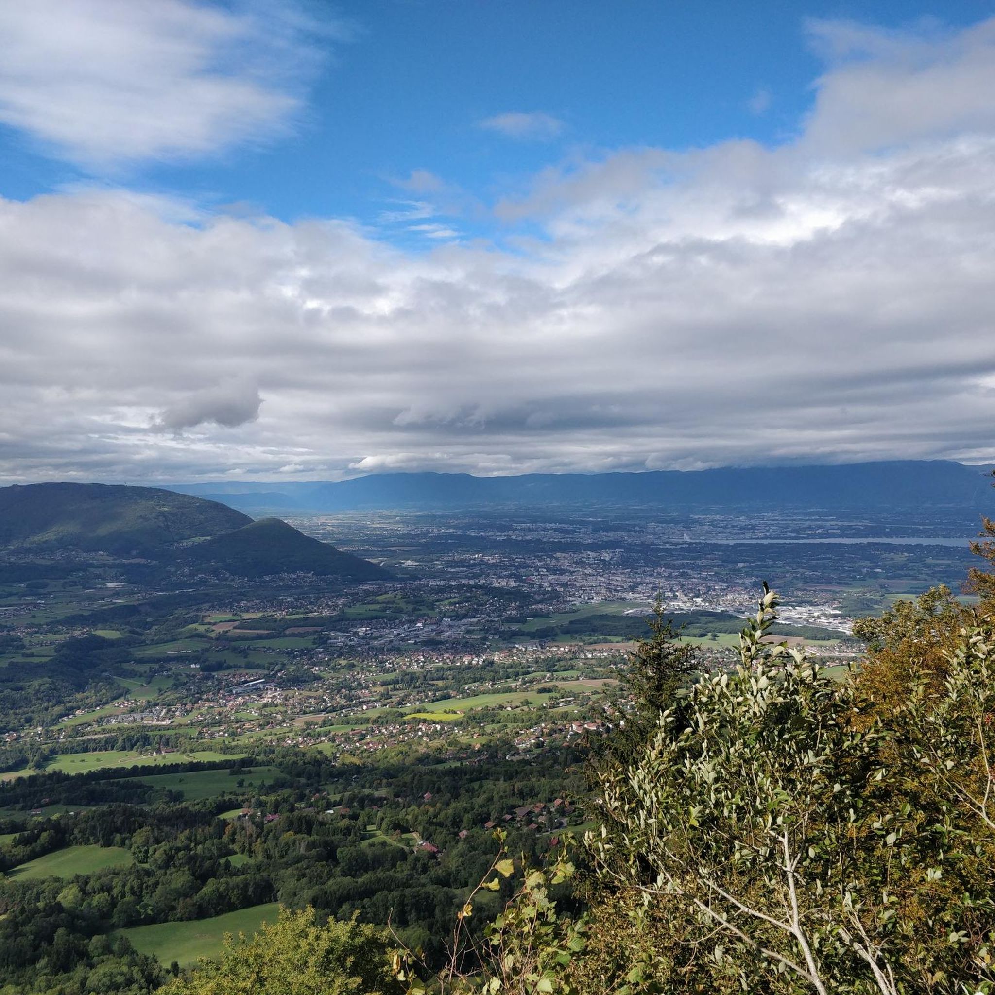
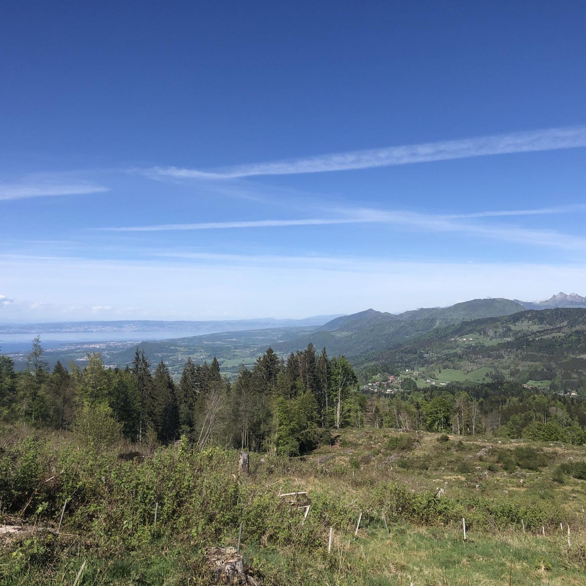
Touring cycling routes around Fillinges offer spectacular views of the mountainous landscapes of Haute-Savoie. From elevated points like the Signal of the Voirons, you can enjoy panoramic vistas that, on clear days, extend towards Lake Geneva and other surrounding mountains. The routes also provide views of river valleys and diverse natural features.
Is public transport available to access touring cycling routes in Fillinges?
Fillinges is located within the Grand Genève agglomeration, which suggests some public transport connectivity. While specific routes to trailheads might require local research, the general accessibility of the commune by public transport can help you reach starting points for your cycling adventures.
Where can I find parking for touring cycling routes in Fillinges?
While specific parking areas for each route are not detailed, Fillinges, as a commune, offers various public parking options. It is advisable to check local maps or signage upon arrival in Fillinges or the starting village of your chosen route for designated parking facilities.
Most popular routes around Fillinges
Most popular attractions around Fillinges

Get inspired with the komoot mobile app


Explore more
Browse the best Cycling routes in other regions.
