Top 4 Mountain Passes around Niederhaslach
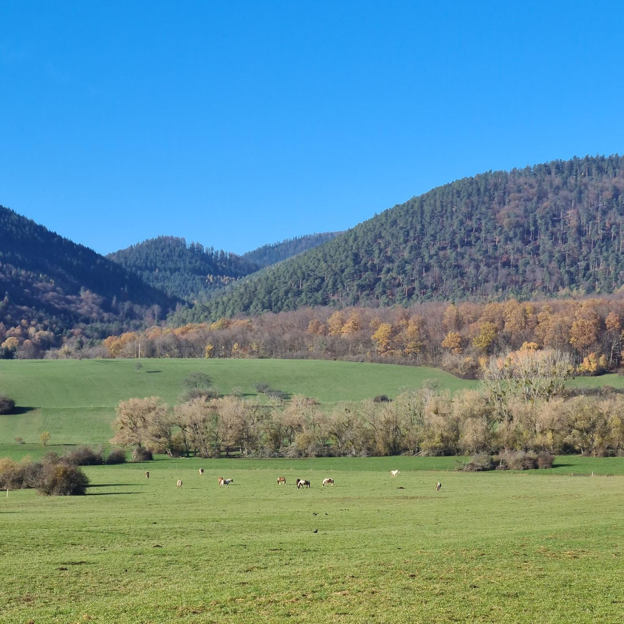
Best mountain passes around Niederhaslach are situated within the Bas-Rhin department of France, characterized by a valley setting surrounded by forests, hills, and agricultural plateaus. The commune's elevation ranges from 215 to 372 meters, placing it within the Hasel valley and the Vosgian forest massif. This topography offers a landscape suitable for hiking and exploring natural beauty, rather than high mountain passes directly within the commune itself. The broader Vosges mountains, however, feature various passes accessible from the area.
Best…
Last updated: May 21, 2026
Col des Pandours
Highlight • Mountain Pass
Translated by Google •
Tip by

Grendelbruch Village
Highlight • Settlement
Translated by Google •
Tip by

Sign up now to discover places like this
Get recommendations on the best single tracks, peaks, & plenty of other exciting outdoor places.
Sign up for free
Col du Jaegertannel
Highlight • Mountain Pass
- Other direction is Grendelbruch
Translated by Google •
Tip by

Jewish hut
Highlight • Mountain Pass
Translated by Google •
Tip by

Start today with a free account
Your next adventure awaits.
Login or Signup

Tips from the Community

Very nice to ride: moderate gradient, little traffic.
0
1

Shelter in the middle of the forest. The nearest water source is about 1 km away.
1
0

Beautiful crossroads with a simple shelter... from here you can climb to Rocher Mutzig or find your way towards Le Narion
2
0

Beautiful hike with superb 180 degree viewpoint
1
1

The Col des Pandours from Oberhaslach is 11.6 km long with a total drop of 409 m. The average gradient is 3.5% with maximum gradients of 11%.
4
1

Pretty rough (but beautiful) descent on the forest road to Oberhaslach.
0
0

At this stage of the hike we are at the end of the climb, beginning of a 3km descent on a slightly technical single track.
0
0

Starting point for many hikes, the pass has several areas where you can park your car. By bike, it's a nice challenge to climb either from Wangenbour or from Nierderhaslach. A few routes lead there via forest roads in the region, for those who are not afraid of gravel and stones. In itself, the pass does not offer many places to rest and has no view.
1
0
Frequently Asked Questions
What are the most popular mountain passes around Niederhaslach?
While Niederhaslach itself is characterized by a valley setting and gentler hills, the surrounding Vosges mountains offer several notable passes. Among the most popular are Col des Pandours, known as a starting point for many hiking and mountain bike routes, and Col du Jaegertannel, an important waypoint for technical single track descents.
Are there family-friendly mountain passes or areas near Niederhaslach?
Yes, Grendelbruch Village is highlighted as a family-friendly area to discover for beautiful walks. It's considered a relatively easy starting point for exploring the northern Vosges.
What kind of views can I expect from the mountain passes in this region?
Many passes offer scenic viewpoints. For instance, the area around Jewish hut provides a superb 180-degree viewpoint amidst the forest, serving as a crossroads for routes to Rocher Mutzig or Le Narion.
What outdoor activities can I do near these mountain passes?
The mountain passes around Niederhaslach are excellent starting points for various outdoor activities. You can find numerous options for hiking, running, and road cycling. The Col des Pandours, for example, is a popular starting point for both hiking and mountain biking.
Are there challenging routes for experienced hikers or cyclists?
Absolutely. The Col des Pandours offers a challenging climb with gradients up to 11%. For mountain bikers, Col du Jaegertannel marks the end of a climb before a descent on a technical single track, appealing to those seeking more demanding trails.
What is the best time to visit the mountain passes around Niederhaslach?
The region, being part of the Vosgian forest massif, is generally pleasant for outdoor activities from spring through autumn. These seasons offer favorable weather for hiking, cycling, and enjoying the forest landscapes. Winter can bring snow, which might be suitable for different activities but could make some passes less accessible for typical hiking or cycling.
Are there historical sites near the mountain passes?
While the passes themselves are primarily natural features, the broader Niederhaslach area and nearby villages like Grendelbruch Village are recognized for their historical significance. Niederhaslach itself is known for its Gothic collegiate church, and the region offers a blend of natural beauty and historical sites.
Can I find parking at the trailheads for these mountain passes?
Yes, for some popular passes like Col des Pandours, there are several areas where you can park your car, making it convenient to start your hikes or bike rides.
What kind of natural environment surrounds the mountain passes?
The passes are situated within the Vosgian forest massif, meaning you'll be immersed in dense forests. The landscape features a mix of hills, valleys, and agricultural plateaus, offering a rich natural environment for exploration.
Are there any shelters or huts available along the routes?
Yes, for example, the Jewish hut is a simple shelter located in the middle of the forest, providing a resting spot for hikers. Note that the nearest water source from this particular hut is about 1 km away.
What do visitors enjoy most about the mountain passes around Niederhaslach?
Visitors appreciate the diverse opportunities for outdoor activities, from challenging climbs to scenic descents. The passes are valued for their role as starting points for hiking and mountain biking, offering beautiful forest routes, and providing rewarding viewpoints. The komoot community has contributed over 180 upvotes and 20 photos to the highlights in this area, reflecting its popularity.
Most popular routes around Niederhaslach
Most popular attractions around Niederhaslach

Get inspired with the komoot mobile app


Explore more
See even more epic mountain passes by checking out these guides around Niederhaslach:
