The best gravel rides around Niederhaslach
4.6
(10)
99
riders
28
rides
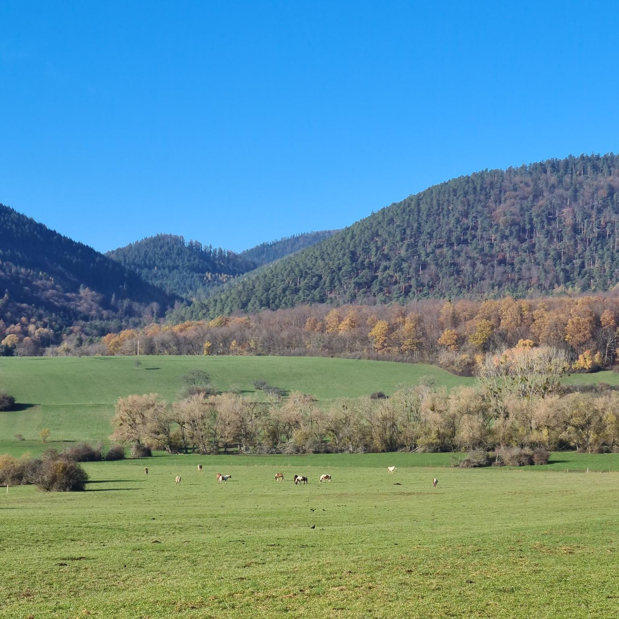
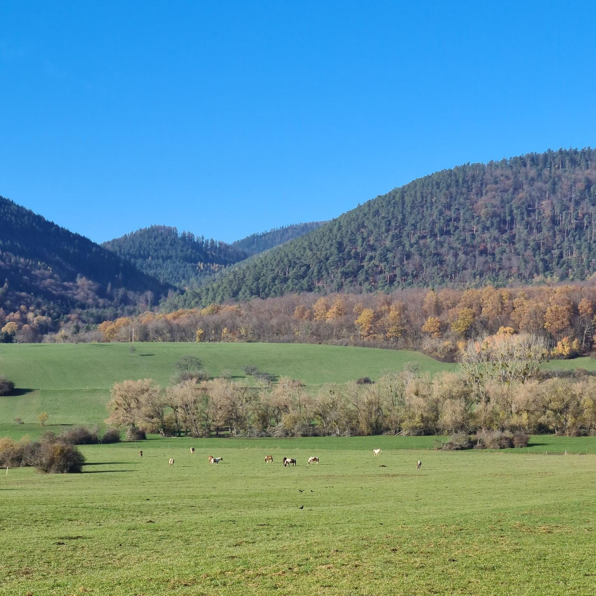
Gravel biking around Niederhaslach offers diverse terrain within France's Alsace region, characterized by dense forests and rolling hills. The area provides a mix of paved roads and unpaved paths, suitable for varied gravel cycling experiences. Riders can explore routes through wooded areas and along varied gradients, with elevations reaching over 750 meters. The landscape includes notable features such as the Porte de Pierre monolith and panoramic viewpoints over the Vosges Massif.
Best gravel bike trails around Niederhaslach
- The most popular…
Last updated: July 3, 2026
5.0
(1)
15
riders
120km
09:17
2,200m
2,200m
Hard gravel ride. Very good fitness required. Mostly paved surfaces. Suitable for all skill levels.
9
riders
Hard gravel ride. Very good fitness required. Mostly paved surfaces. Suitable for all skill levels.

Sign up for free
4.0
(1)
30
riders
89.1km
07:11
1,960m
1,960m
Hard gravel ride. Very good fitness required. You may need to push your bike for some segments of this route.
4.7
(3)
4
riders
19.7km
01:21
450m
450m
Moderate gravel ride. Good fitness required. Mostly paved surfaces. Suitable for all skill levels.
5.0
(1)
11
riders
91.2km
07:10
1,850m
1,850m
Hard gravel ride. Very good fitness required. Mostly paved surfaces. Suitable for all skill levels.
Get access to more routes and recommendations from other explorers.
Sign up for free
Already have an account?
Our route recommendations are based on thousands of hikes, rides, and runs completed by other people on komoot.
Start today with a free account
Your next adventure awaits.
Login or Signup
Tips from the Community

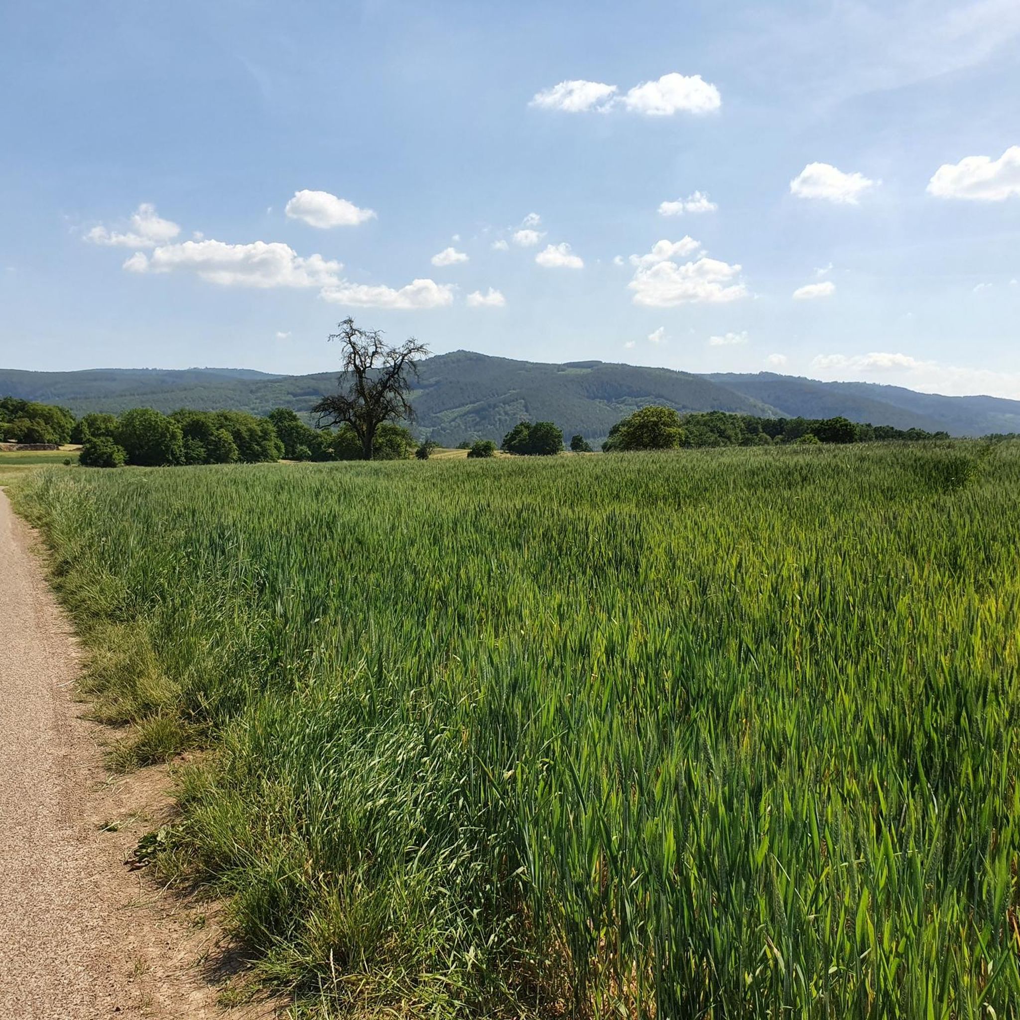
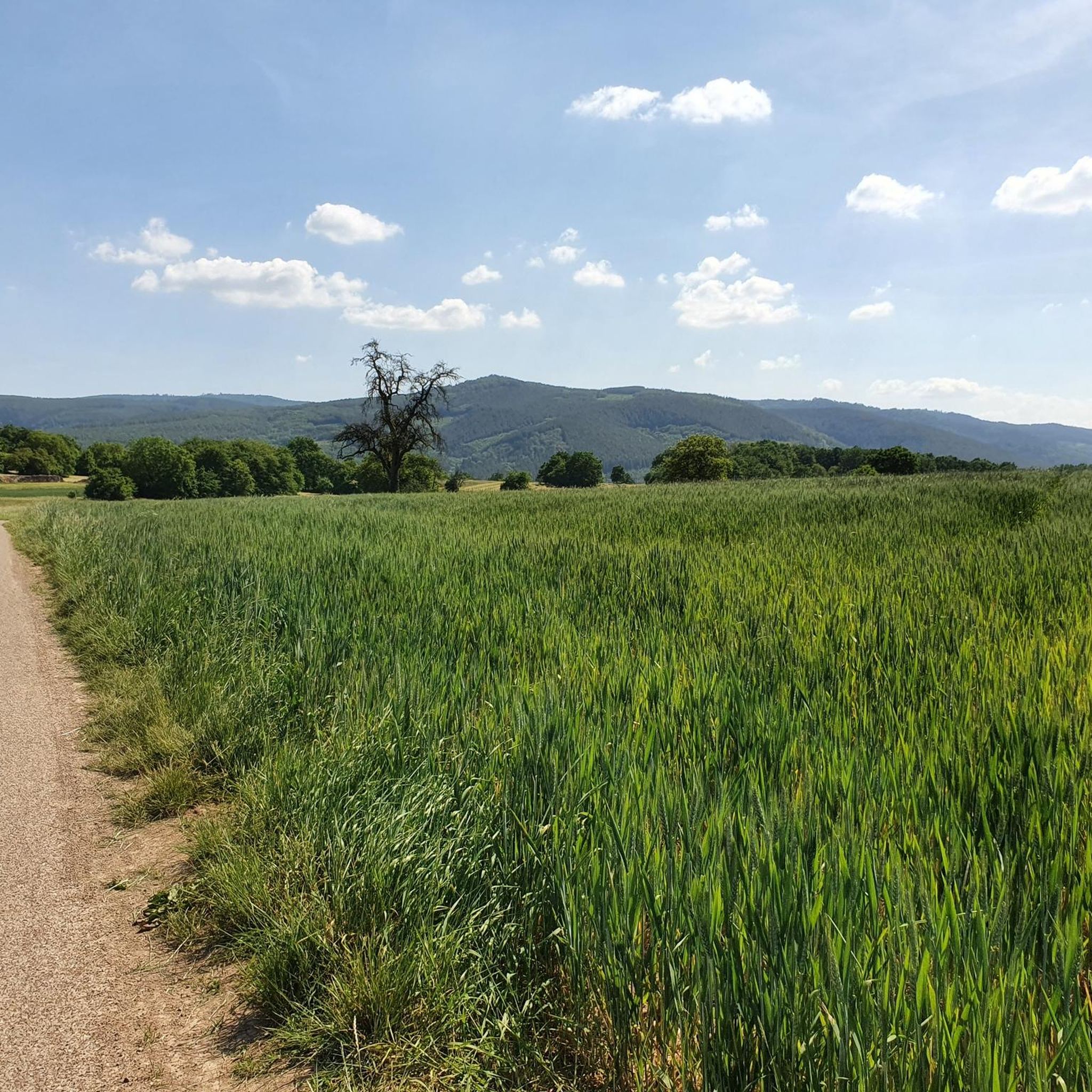
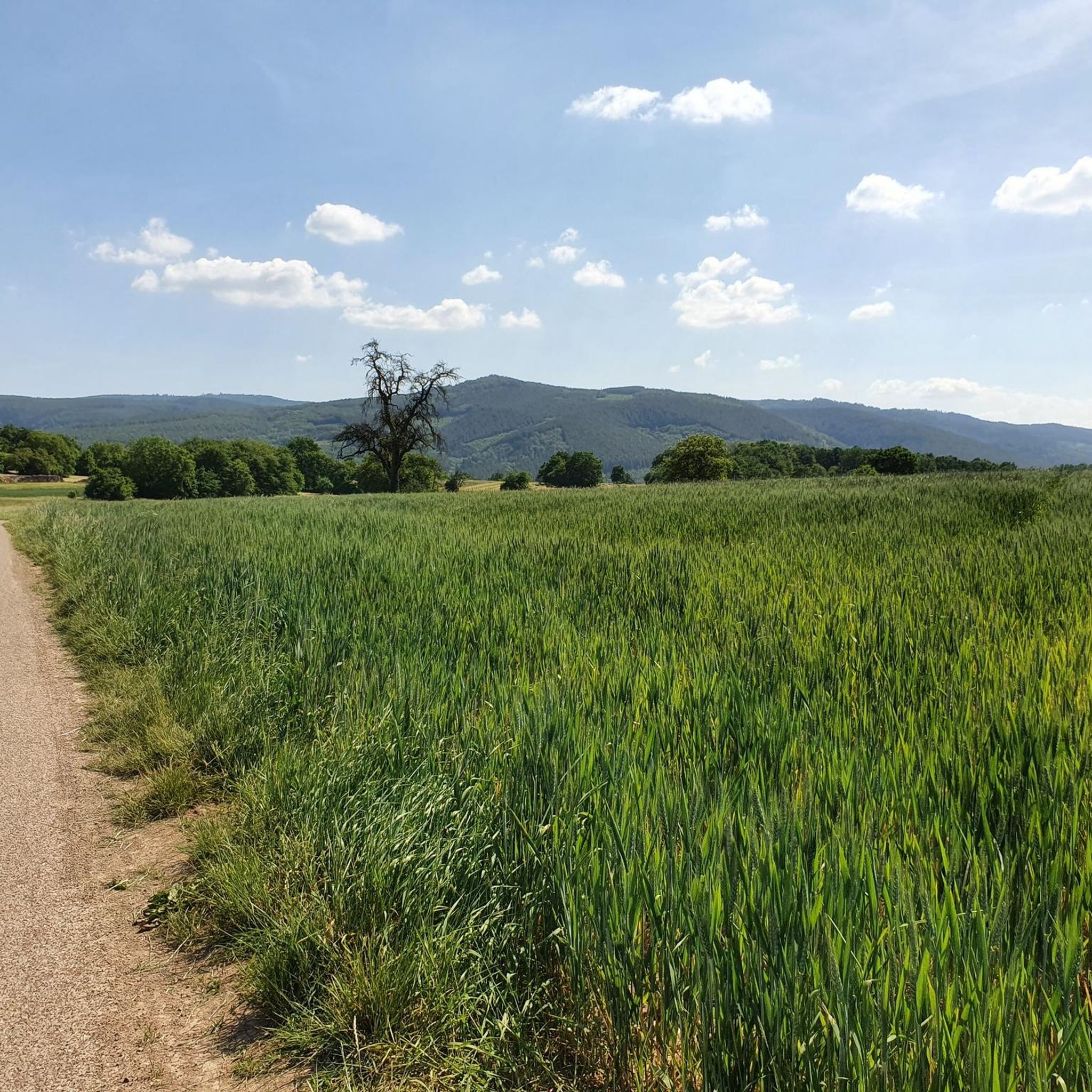
This section of the cycle path that crosses the Bruche Valley is one of the most beautiful. The landscape is completely unobstructed, allowing you to admire the first Vosges mountains. All this while cycling on a very high-quality surface.
0
0

This small castle is nowhere near as impressive as its two neighboring castles. But the climb is still worth it.
0
0

very nice view and a good place to eat
0
0

Saverne was already a Roman military post in the 4th century. From the 15th century until the French Revolution, Saverne was the residence of the powerful bishops of Strasbourg. The Château de Rohan, which boasts the longest neoclassical façade of any building in France, still bears witness to this.
1
0
Very nice to ride: moderate gradient, little traffic.
0
1

I love coming here to Saverne. The town has such a wonderful atmosphere.
0
0

Beautiful trails. Unfortunately, a section was closed, private. But we continued, just in a different way.
0
0

What a blessing, these fountains that are officially designated as drinking water fountains!
0
0
Frequently Asked Questions
How many gravel bike trails are available around Niederhaslach?
There are over 35 gravel bike trails around Niederhaslach, offering a variety of experiences for different skill levels. You'll find a mix of moderate and challenging routes through the region's diverse landscapes.
What kind of terrain can I expect on gravel bike routes near Niederhaslach?
The terrain around Niederhaslach is characterized by dense forests and rolling hills, typical of the Alsace region. Routes often combine paved roads with unpaved paths, offering varied gradients and elevations that can reach over 750 meters. You'll encounter both challenging climbs and scenic descents.
Are there any easy or beginner-friendly gravel bike trails in Niederhaslach?
While many routes in the area are challenging, there are moderate options available. For example, the Pandours Pass – Col des Pandours loop from Glossberg is a moderate 12.2-mile (19.7 km) path that offers a mix of climbs and descents through forested areas, suitable for those looking for a less strenuous ride.
What are some notable landmarks or viewpoints I can discover on a gravel bike ride?
Many routes pass by significant natural and historical landmarks. You could explore the striking Porte de Pierre monolith, or ride towards viewpoints like the Rocher de Mutzig Viewpoint or the Heidenkopf, which offer panoramic views over the Vosges Massif and the Alsace plain. The Saverne Town Center – Château des Rohan de Saverne loop also takes you past the historic Château des Rohan.
Are there any family-friendly gravel biking options around Niederhaslach?
While specific family-designated routes are not highlighted, the region's network of forest roads and paths offers varied options. Moderate routes with less extreme elevation changes, such as the Pandours Pass – Col des Pandours loop from Glossberg, could be suitable for families with some gravel biking experience, allowing for enjoyable rides through scenic forested areas.
Can I bring my dog on the gravel bike trails in Niederhaslach?
Many natural areas in France, including forests and trails, are generally dog-friendly, especially if dogs are kept on a leash. However, it's always best to check local regulations for specific trails or protected areas you plan to visit. Ensure your dog is comfortable with the distance and terrain, and always carry enough water for both of you.
What is the best time of year for gravel biking in Niederhaslach?
The Alsace region generally offers good gravel biking conditions from spring through autumn. Spring brings blooming landscapes, while autumn provides vibrant fall colors. Summers are pleasant, though some routes might be more exposed to the sun. Winter can be challenging due to colder temperatures and potential snow or ice, especially at higher elevations in the Vosges Massif.
Are there any circular gravel bike routes available?
Yes, many of the gravel bike routes around Niederhaslach are designed as loops, allowing you to start and finish at the same point. Examples include the popular Route des Pionniers – La Porte de Pierre loop from Heiligenberg - Mollkirch and the Pandours Pass – Col des Pandours loop from Wangenbourg-Engenthal.
What do other gravel bikers say about the trails in Niederhaslach?
The gravel biking routes in Niederhaslach are highly rated by the komoot community, with an average score of 4.7 stars from more than 15 reviews. Riders often praise the diverse terrain, the challenging climbs, and the stunning panoramic views over the Vosges Massif and the Alsace plain.
Are there any specific regulations or permits needed for gravel biking in the Alsace region?
Generally, no specific permits are required for gravel biking on public trails and forest roads in the Alsace region. However, always respect local signage, especially in protected natural areas like Natura 2000 sites, and adhere to any rules regarding access, particularly during hunting seasons or periods of high fire risk. For general information on cycling in the region, you can visit visit.alsace.
Where can I find parking or public transport access for gravel biking near Niederhaslach?
Specific parking areas are often available at the start points of popular routes or in nearby villages. For public transport, regional buses or trains might serve towns close to trailheads, though direct access to all starting points can vary. It's advisable to check local transport schedules and parking options for your chosen route in advance.
Are there any cafes or accommodation options along the gravel bike routes?
While Niederhaslach itself offers amenities, many gravel routes venture into forested and rural areas where services might be sparse. It's recommended to plan your route to pass through villages or towns if you anticipate needing cafes, restaurants, or accommodation. Always carry sufficient water and snacks, especially on longer rides like the Mount Saint Odile loop from Rosenwiller.
Most popular routes around Niederhaslach
Most popular attractions around Niederhaslach

Get inspired with the komoot mobile app


Explore more
Browse the best Gravel rides in other regions.
