Top 9 Mountain Passes around Calanca
Best mountain passes around Calanca are found in an Alpine region known for its diverse terrain and historical significance. The area features passes that connect various valleys and often mark watersheds between major river systems. These routes offer access to high-altitude landscapes, including mountain lakes and challenging trails. The region's passes have historically served as trade routes and border crossings.
Best mountain passes around Calanca
- The most popular mountain passes is Passo del Segnale di Vazzola, a mountain pass…
Last updated: June 26, 2026
San Bernardino Pass from Bellinzona
Highlight (Segment) • Mountain Pass
Tip by

Pass de Buffalora
Highlight • Mountain Pass
Translated by Google •
Tip by

Sign up now to discover places like this
Get recommendations on the best single tracks, peaks, & plenty of other exciting outdoor places.
Sign up for free
Parcours 1 #TCRNo9 // Passo dello Spluga
Highlight (Segment) • Mountain Pass
Tip by

Passo del Segnale di Vazzola
Highlight • Mountain Pass
Showing Translation
Tip by

Bocchetta d'Agnon (or di Cama)
Highlight • Mountain Pass
Translated by Google •
Tip by

Sign up for free to discover even more mountain passes around Calanca.
Sign up for free
Already have an account?
Start today with a free account
Your next adventure awaits.
Login or Signup
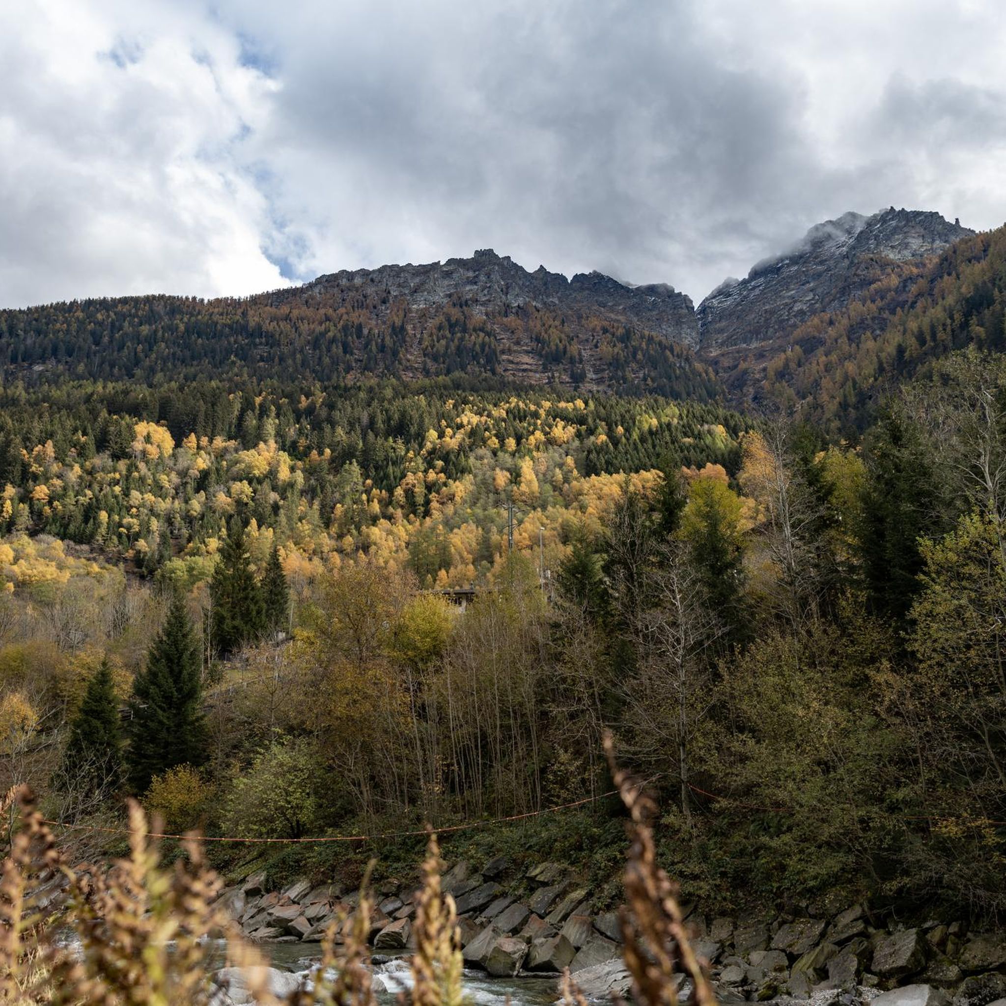
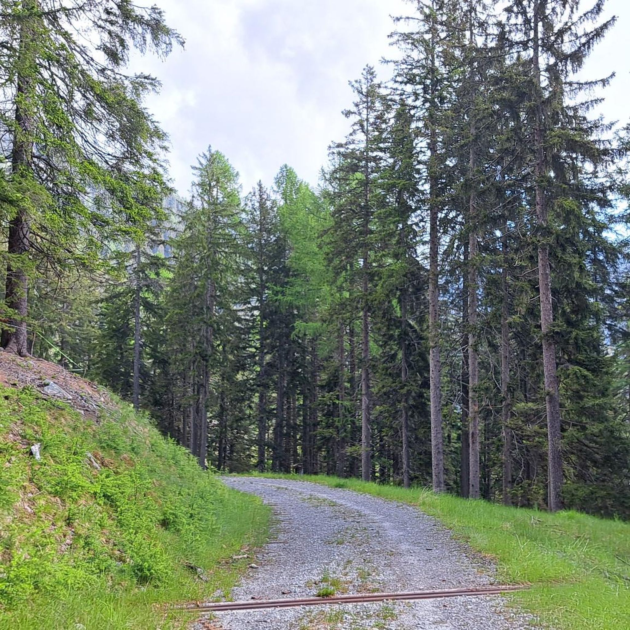
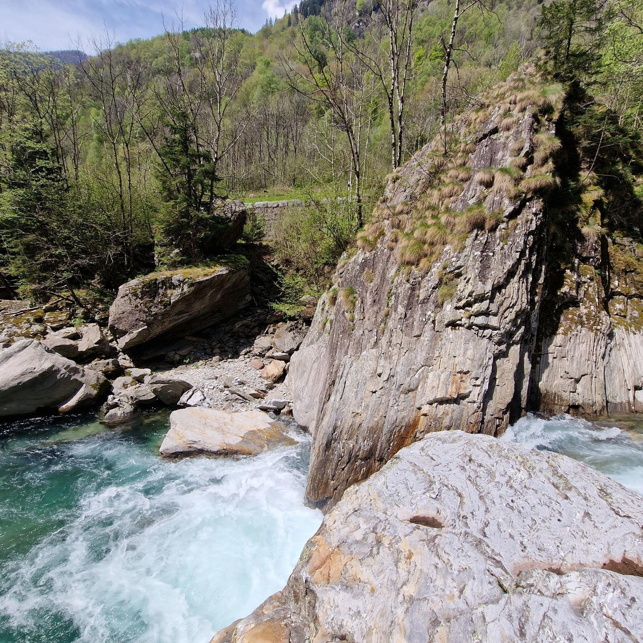
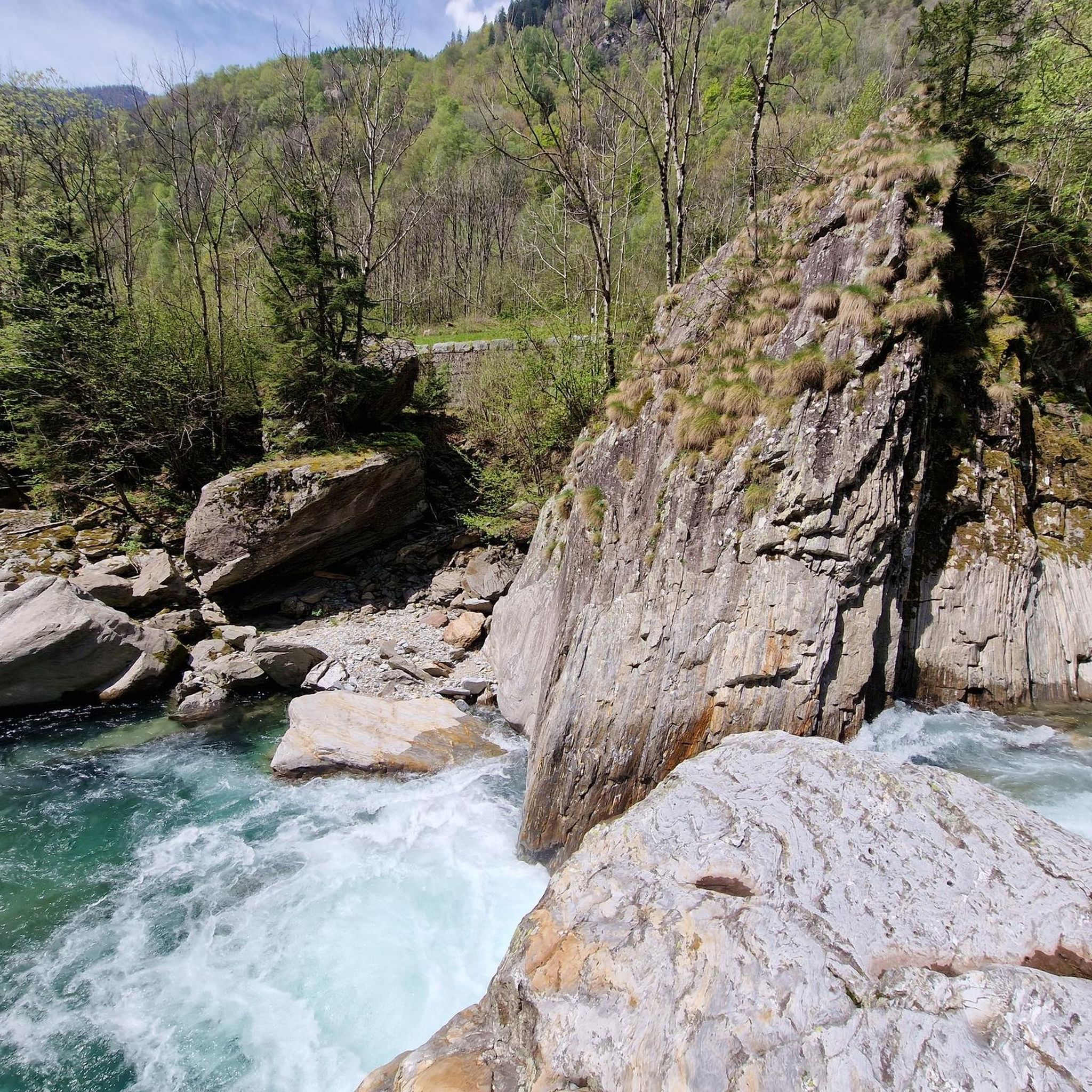
Tips from the Community

The Passo del Segnale is located at around 2,100 meters and is easily recognizable from afar by a distinctive wooden pole with an X-shaped cross. It connects the Val Cama with the Val Leggia and is an important pass between the two valleys – with beautiful views in both directions.
0
0

The Passo del Segnale di Vazzola (2108 m) allows you to pass from the Val di Cama to the Val di Leggia and vice versa.
0
0
The Bocchetta d'Agnon (or di Cama), at an altitude of 2269, allows you to reach the Valle di Cama from Val Darengo. Since the 19th century, the route has been used by smugglers, the spalloni, for their border trade between Italy and Switzerland.
2
0

Long climb up the pass, but really beautiful and very pleasant to ride
0
1

Very nice pass, drive and enjoy
0
1

Compared to other passes in the Calanca massif, this transition is easy from an alpine point of view, especially if you can drive to Alp de Bec-Sot by car or alpine taxi. Since the area is relatively lonely, the alpine vegetation can be enjoyed all the more.
1
0

Heading south to the Alps for the first Control Point of the Race, TCRNo9 riders face a parcours that follows in the millenia-old tracks of pass-storming armies and traders — zig-zagging across the Swiss and Italian borders, over the high cols and through the steeply-gorged valleys of the now famous San Bernardino and Splugen Passes, before plunging to Chiavenna at the foot of the Maloja Pass. 2023 marks the 200-year anniversary of the modern road over the Passo dello Spluga. Here riders will free route from the end of the parcours to Control Point 1 in Livigno. Perched high in the Italian Alps, the location will force racers to remain in the mountains en route to Control Point 2. Livigno’s name stems from the old German word for ‘avalanche’ — a reminder to riders not to underestimate conditions here, something they will do at their peril as they traverse some of the highest paved roads in the region before being deposited at the foot of the mighty Stelvio National Park.
0
0

Passo del Segnale di Vazzola (2108 m, with no name on the CNS map) clearly visible from a distance thanks to the characteristic post with the Andrea cross (X-shaped). It allows you to cross from the Cama valley to the Leggia valley and vice versa
1
0
Frequently Asked Questions
What are some of the most popular mountain passes around Calanca?
Visitors frequently appreciate Passo del Segnale di Vazzola, known for its distinctive Andrea cross post and connecting the Cama and Leggia valleys. Another favorite is Passo del Mauro, an intermediate Alpine pass at about 2,400 meters, which is part of the Via Alpina and links the Riviera and Calanca valleys.
Are there challenging mountain passes for experienced hikers in the Calanca region?
Yes, the Calanca region offers several demanding routes. Bocchetta d'Agnon (or di Cama), at an altitude of 2269 meters, is a challenging pass that historically served as a route for border trade between Italy and Switzerland. Another challenging option is Parcours 1 #TCRNo9 // Passo dello Spluga, which involves high cols and steep gorges.
What historical significance do the mountain passes in Calanca hold?
Many passes in the Calanca region have a rich history. For example, Bocchetta d'Agnon (or di Cama) was historically used by smugglers for border trade between Italy and Switzerland. The passes have generally served as vital trade routes and border crossings, connecting various valleys and marking watersheds.
What natural features can I expect to see when visiting Calanca's mountain passes?
The region's mountain passes offer access to stunning high-altitude landscapes. You can expect to see mountain lakes, such as the magnificent Moesola mountain lake near San Bernardino Pass from Bellinzona, and glacial streaks. The diverse terrain provides numerous viewpoints and scenic vistas.
Are there any mountain passes suitable for intermediate hikers?
Absolutely. Passo del Segnale di Vazzola is considered an intermediate mountain pass, allowing passage between the Cama and Leggia valleys. Passo del Mauro is also an intermediate Alpine pass, connecting the Riviera and Calanca valleys.
What kind of outdoor activities can I do near the mountain passes in Calanca?
Beyond exploring the passes themselves, the Calanca region offers a variety of outdoor activities. You can find numerous hiking trails, including moderate and difficult options like the Via Calanca Trail. There are also opportunities for gravel biking and running trails, catering to different skill levels.
What do visitors enjoy most about the mountain passes around Calanca?
Visitors frequently highlight the stunning high-altitude landscapes, including mountain lakes and challenging trails. The historical significance of the routes, which once served as trade paths and border crossings, also adds to the appeal. The komoot community has shown appreciation with 37 upvotes and 31 photos shared, indicating a positive experience.
Are there any mountain passes that are part of a larger trail network like the Via Alpina?
Yes, Passo del Mauro is located along the Via Alpina. This pass connects the Örz Alp with the Cava Alp and offers a route between the Riviera and Calanca valleys.
Can I find mountain passes that offer panoramic views?
Many of the mountain passes in the Calanca region are known for their excellent viewpoints. Passes like Passo del Segnale di Vazzola, Bocchetta d'Agnon (or di Cama), and Passo del Mauro are all categorized as offering significant views, allowing you to take in the vast Alpine scenery.
What is the altitude of some of the mountain passes in Calanca?
The passes in the Calanca region vary in altitude. For instance, San Bernardino Pass from Bellinzona reaches an altitude of 2063 meters. Bocchetta d'Agnon (or di Cama) is at 2269 meters, and Passo del Mauro is approximately 2,400 meters above sea level.
Are there any specific features to look out for on the San Bernardino Pass?
The San Bernardino Pass from Bellinzona is notable for its altitude of 2063 meters and its location on the watershed between the Po and Rhine basins. The final stretch is dotted with small ponds and glacial streaks, culminating in the Moesola mountain lake. There's also the Hospiz St. Bernhardin, now a Gasthaus, just before the descent.
Most popular routes around Calanca
Most popular attractions around Calanca

Get inspired with the komoot mobile app


Explore more
See even more epic mountain passes by checking out these guides around Calanca:
