Top 10 Bike Parks around Ponte Di Legno
Best bike parks around Ponte Di Legno are part of the larger Pontedilegno-Tonale Bike Park, which extends to Passo Tonale and Temù. This area provides a range of trails for various skill levels, including downhill, freeride, and flow trails. Beyond the dedicated bike park, the region features the Adamello Bike Arena, offering hundreds of kilometers of additional mountain biking routes. The trails traverse diverse landscapes within the Stelvio National Park and Adamello Park.
Best bike parks around Ponte Di Legno
…Last updated: October 1, 2026
Smugglers' Pass
Highlight • Mountain Pass
Translated by Google •
Tip by

Dynamite Trail
Highlight • Trail
Translated by Google •
Tip by

Sign up now to discover places like this
Get recommendations on the best single tracks, peaks, & plenty of other exciting outdoor places.
Santa Catarina
Highlight • Settlement
Translated by Google •
Tip by

Bormio 3000 Trail – Freeride to Santa Catarina
Highlight (Segment) • MTB Park
Translated by Google •
Tip by

Austrian Military Road
Highlight (Segment) • Trail
Translated by Google •
Tip by

Sign up for free to discover even more bike parks around Ponte Di Legno.
Already have an account?
Start today with a free account
Your next adventure awaits.
Popular around Ponte Di Legno

L1 from Garmisch to Brescia – Far from the classic Alpine crossings
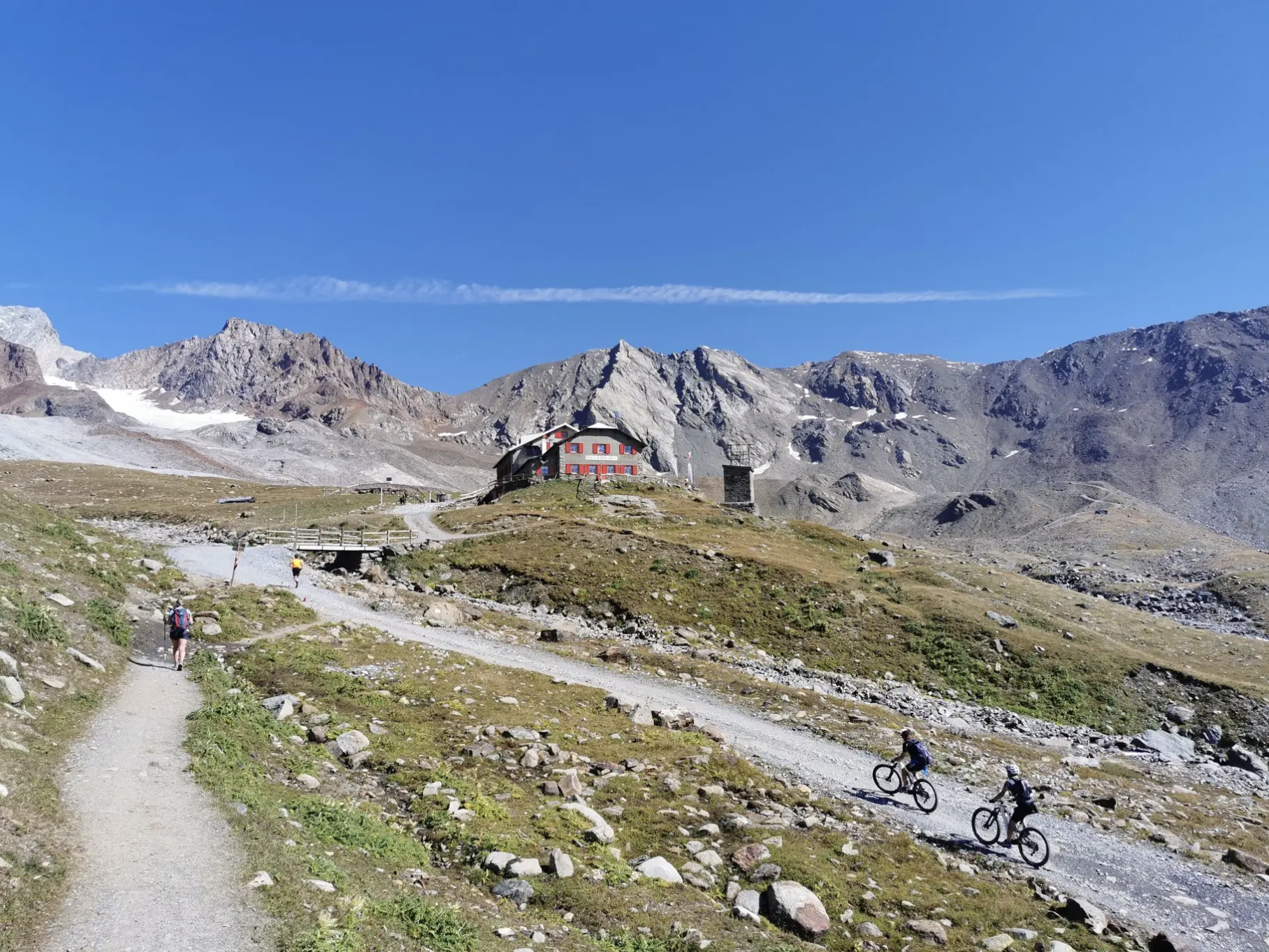
Around Ortler on high alpine trails in 7 stages

The Path of Peace – journey into Trentino's history
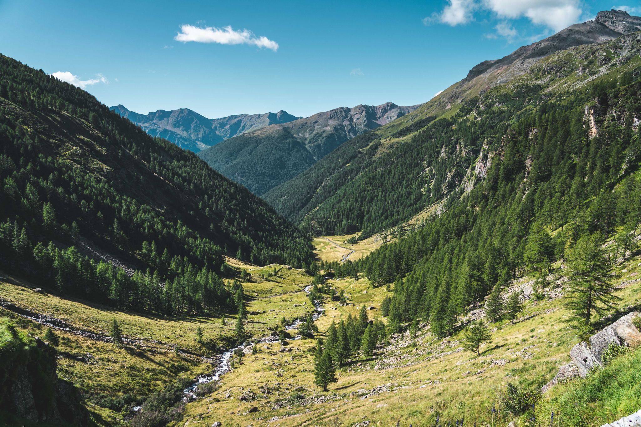
Trekking in Val di Sole – 7 day hikes at high altitude
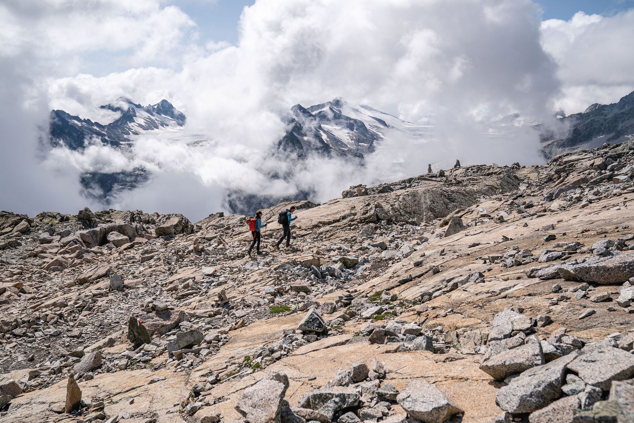
Epic adventures in Val di Sole – between glaciers and rock cathedrals
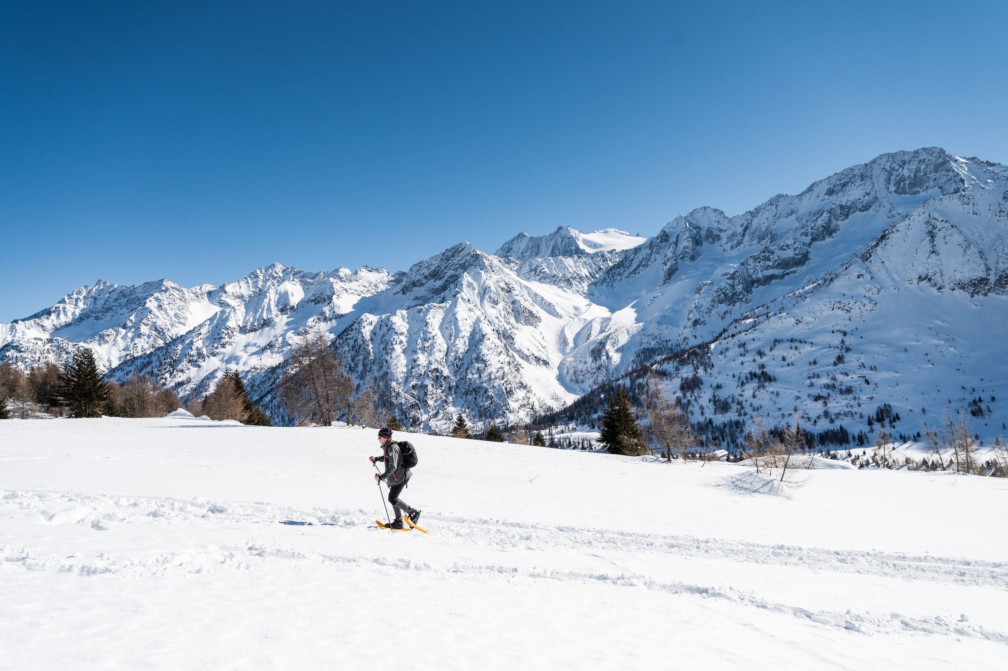
Ten snowshoe hikes in Italy’s Val di Sole

A journey through history and nature in Italy – Via Valeriana on foot
Between history and nature in Val Camonica – Adamello Ultra Trail
The great passes of the Giro d'Italia – 10 historic climbs

Peaks, rock carvings and mountain huts – hike Italy’s Val Camonica
Other adventures around Ponte Di Legno


Tips from the Community

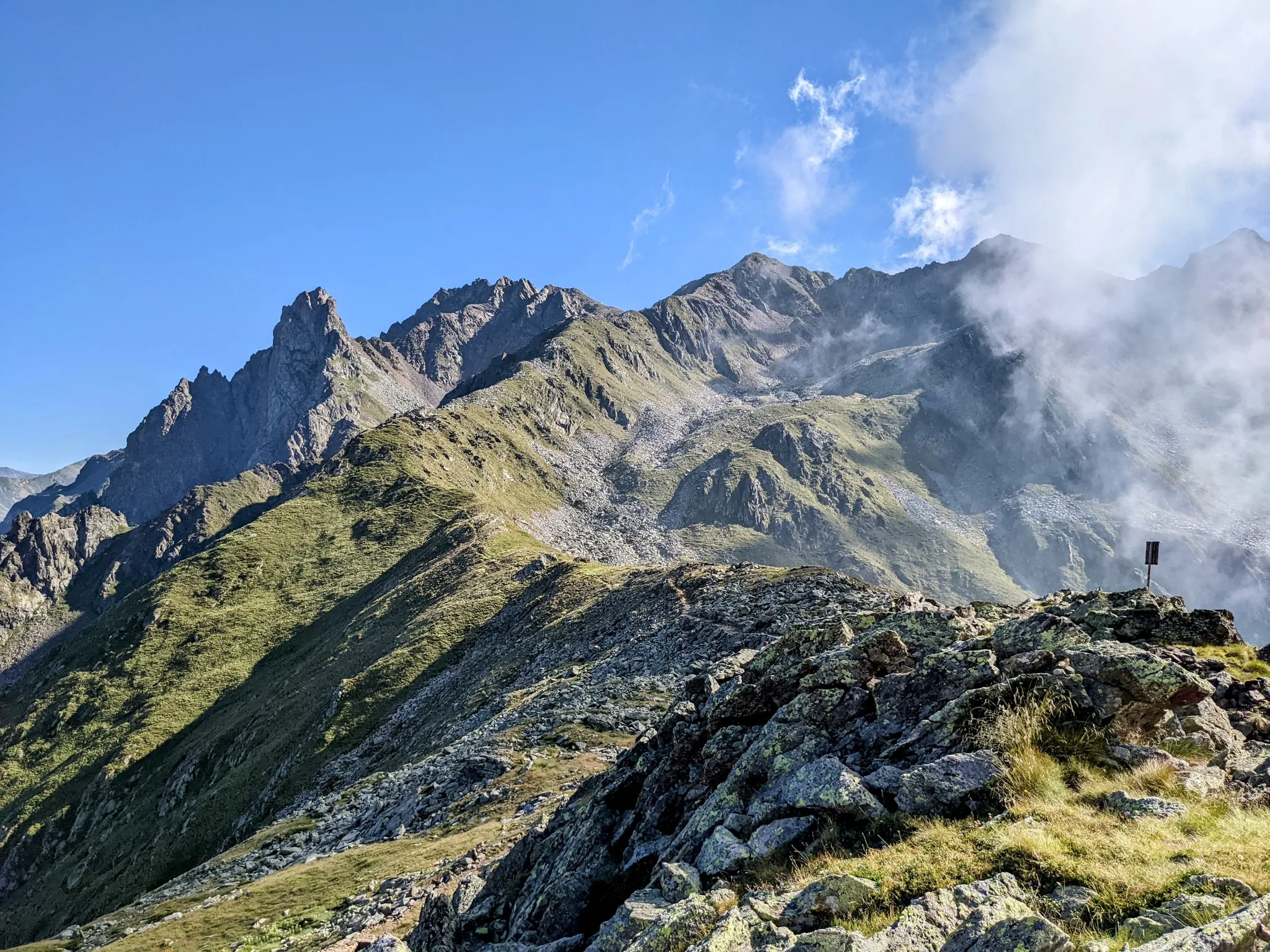
The Passo dei Contrabbandieri is an alpine pass located at an altitude of 2,681 meters that connects Trentino (municipality of Vermiglio) with Lombardy (municipality of Ponte di Legno), positioned right on the southern border of the Stelvio National Park. The pass represents a splendid destination for summer trekking, offering a panoramic view that ranges from the Ortles-Cevedale group to the north to the Adamello-Presanella to the south. Starting point: Passo del Tonale (Ospizio San Bartolomeo area). You ascend along a dirt road to Malga Valbiolo (2,244 m). During the summer season, it is possible to shorten the walk by using the ski lifts. From the malga, take the CAI trail no. 111 which leads directly to the pass through a final steep and stony section. The total positive elevation gain on foot from Tonale is about 740 meters, requiring an average of 2 hours and 20 minutes for the ascent alone. Difficulty: Hiking (E). It is a walk without technical difficulties but tiring due to the final slope; mountain boots are strongly recommended.
1
0

A pass located at 2,681 meters above sea level, on the watershed dividing northern Trentino from Lombardy, so called because during the Austro-Hungarian reign, smugglers passed through it carrying contraband goods. It was the site of trench warfare during the First World War, and today, the imposing ruins of trenches, barracks, and Italian army posts can still be seen on the great ridge that, starting from Cima Cadì, passed over western Monte Tonale, Cima Casaiole, and then from Passo dei Contrabbandieri, ascended first to Albiolino and then to Punta d'Albiolo, opposing the Austro-Hungarians who occupied Torrione d'Albiolo and the entire ridge descending from it, to eastern Monte Tonale and today's "Città morta" (Dead City), with a bold cantilevered engineering feat, still partially visible from the 1960s and 1970s. From the pass you can enjoy interesting views both to the north and to the south.
7
1

Born from the "Ride Clean" project, the Dynamite Trail in Santa Caterina Valfurva is a black-difficulty (S3) enduro singletrack. It offers pure adrenaline, immersed in an Alpine panorama with the peaks of 13 snow-capped peaks, through forests, with fast and technical sections, roots, rocks, and berms. Accessible by cable car from Cresta Sobretta, it is ideal for expert bikers seeking a smooth yet challenging descent.
0
0

very beautiful trail in an exceptional Alpine environment ….. S1/S2 with some rougher sections but overall always very flowy
0
1

Stunning high altitude trail that can be done on a sure-footed mountain bike
2
0

A truly magnificent descent. A breathtaking landscape. A challenging trail that's a lot of fun. A MUST if you're heading south from Bormio.
0
0

Santa Caterina is a wonderful tourist destination that offers many activities both in summer and winter. Located in Valtellina, in the heart of the Stelvio National Park, Santa Caterina is the perfect starting point for snowshoeing in unspoiled nature.
0
0

Panoramic path that from Bormio 300o descends towards the lakes.
0
0
Frequently Asked Questions
What types of bike trails can I expect in the Ponte di Legno area?
The Ponte di Legno area, part of the larger Pontedilegno-Tonale Bike Park, offers a diverse range of trails. You'll find downhill, freeride, and flow trails, catering to various skill levels. Trails in Passo Tonale feature 'low' terrain with fun parabolic curves and step-downs, while those in Ponte di Legno and Temù wind through wooded areas, requiring balance and focus. The broader Adamello Bike Arena also provides over 500 km of mountain bike trails categorized as easy (blue), medium (red), and difficult (black).
Are there family-friendly bike parks or trails around Ponte di Legno?
Yes, the area is very family-friendly. Passo Tonale features a Kids Bike Park near the Family Village with three kid's lines (easy, medium, hard). Ponte di Legno also has a Junior Bike Park with obstacles and descents served by a treadmill, offering various difficulty levels for young bikers. The T-MU Bike Park at Temù is suitable for children as young as four with balance bikes, offering routes with parabolic turns and small humps.
What are some popular or challenging bike trails in the region?
For a challenging enduro experience, the Dynamite Trail in Santa Caterina Valfurva is a black-difficulty (S3) singletrack with technical sections, roots, rocks, and berms. Another notable option is the Bormio 3000 Trail – Freeride to Santa Catarina, offering a 14-kilometer descent with 1,350 meters downhill, where riders can choose between flowy high-speed trails and more challenging tracks.
Can I find historical routes to explore by bike in Ponte di Legno?
Absolutely. The region has a rich history, particularly from WWI. The Austrian Military Road is a trail built for military purposes during the 1914-1918 conflict, now serving as an MTB route through dense larch forest. Some routes within the Adamello Bike Arena, like the 'Tour dei Forti,' also pass by WWI Austrian forts Mero and Zaccarana, blending cycling with historical exploration.
What natural features and scenic viewpoints can I enjoy while mountain biking?
The bike parks and trails wind through enchanting scenery within the Stelvio National Park and Adamello Park. You'll encounter pristine nature, mountain pastures, and panoramic viewpoints. For example, the Trail Below Punta di Montozzo offers an incredible mountain panorama overlooking Lago di Pian Palu, making the challenging ascent worthwhile for the views.
What is the best time of year to visit Ponte di Legno for mountain biking?
The prime season for mountain biking in Ponte di Legno is typically during the warmer months, from late spring through early autumn. This period offers the most favorable weather conditions, with trails fully open and accessible. It's always a good idea to check specific bike park opening dates and conditions, as these can vary seasonally.
What services and facilities are available for bikers in the Ponte di Legno area?
The area is well-equipped for mountain bikers. You can find services such as bike rentals, maintenance shops, and storage facilities. Lifts like the Valbiolo chairlift provide convenient access to higher altitude starting points. Additionally, guided tours with certified instructors are available for those looking to improve their technique or explore with expert guidance. You can also find cafes and accommodation options in towns like Santa Catarina.
Beyond the dedicated bike parks, what other mountain biking opportunities are there in the Ponte di Legno region?
In addition to the Pontedilegno-Tonale Bike Park, the region boasts the extensive Adamello Bike Arena, offering over 500 km of signposted and GPS-tracked mountain bike trails. These routes cater to all skill levels and traverse diverse landscapes. For more detailed routes, you can explore the MTB Trails around Ponte Di Legno guide, which includes challenging loops like the 'Pezzo Mountain Village – Rifugio Bonetta – Gavia Pass loop'.
Are there hiking trails near the bike parks for non-bikers or rest days?
Yes, the Ponte di Legno area is also excellent for hiking. You can find numerous trails ranging from moderate to difficult, often leading through stunning alpine scenery and historical sites. For example, the 'Historic WWI Mule Track to Rifugio Angelino Bozzi' offers a moderate hike with historical significance. You can find more options in the Hiking around Ponte Di Legno guide.
What do visitors enjoy most about mountain biking in Ponte di Legno?
Visitors frequently praise the sheer variety of trails, which cater to everyone from beginners to expert riders. The stunning Alpine panoramas and natural settings within the Stelvio National Park and Adamello Park are also highly appreciated. Many enjoy the blend of challenging descents and flow trails, often highlighting the 'incredible views' and the 'unforgettable downhill' experiences, as noted for trails like the Trail Below Punta di Montozzo.
Where can I find more information about the Pontedilegno-Tonale Bike Park?
For detailed information on the Pontedilegno-Tonale Bike Park, including trail maps, lift operating hours, and specific features, you can visit the official tourism websites. These resources often provide the most up-to-date logistical details. You can check visitvaldisole.it or visittrentino.info for further details.
Most popular routes around Ponte Di Legno
Most popular attractions around Ponte Di Legno

Get inspired with the komoot mobile app


Explore more
Still looking for your perfect bike park? Check out our guides in these places:
