Top 6 Mountain Passes around Ponte Dell'Olio
Best mountain passes around Ponte Dell'Olio are found in the broader Piacenza province, which is characterized by rolling hills and the Apennine mountains to the south. Ponte Dell'Olio itself is situated in a hilly area between the Nure and Riglio valleys, with Monte Santo as its highest point at 677 meters. The region offers scenic drives, cycling routes, and hiking trails through picturesque landscapes. These areas provide opportunities for outdoor activities in a tranquil setting.
Best mountain passes around Ponte…
Last updated: August 21, 2026
Eastern Ascent to Passo Caldarola
Highlight (Segment) • Mountain Pass
Translated by Google •
Tip by

Costa del Bulla
Highlight • Mountain Pass
Showing Translation
Tip by
Sign up now to discover places like this
Get recommendations on the best single tracks, peaks, & plenty of other exciting outdoor places.
Sign up for free
Prato Barbieri (Bettola) 929 m
Highlight • Mountain Pass
Translated by Google •
Tip by

Ascent to Passo del Cerro from Perino
Highlight (Segment) • Mountain Pass
Translated by Google •
Tip by

Passo Pia
Highlight • Mountain Pass
Translated by Google •
Tip by

Sign up for free to discover even more mountain passes around Ponte Dell'Olio.
Sign up for free
Already have an account?
Start today with a free account
Your next adventure awaits.
Login or Signup
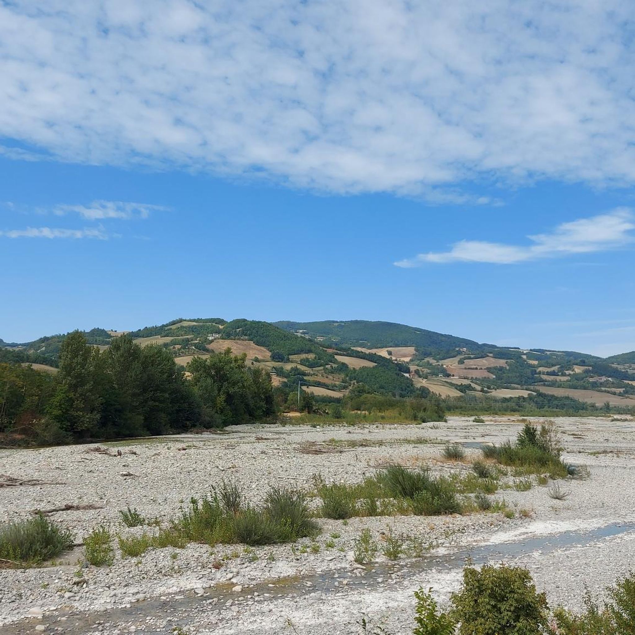
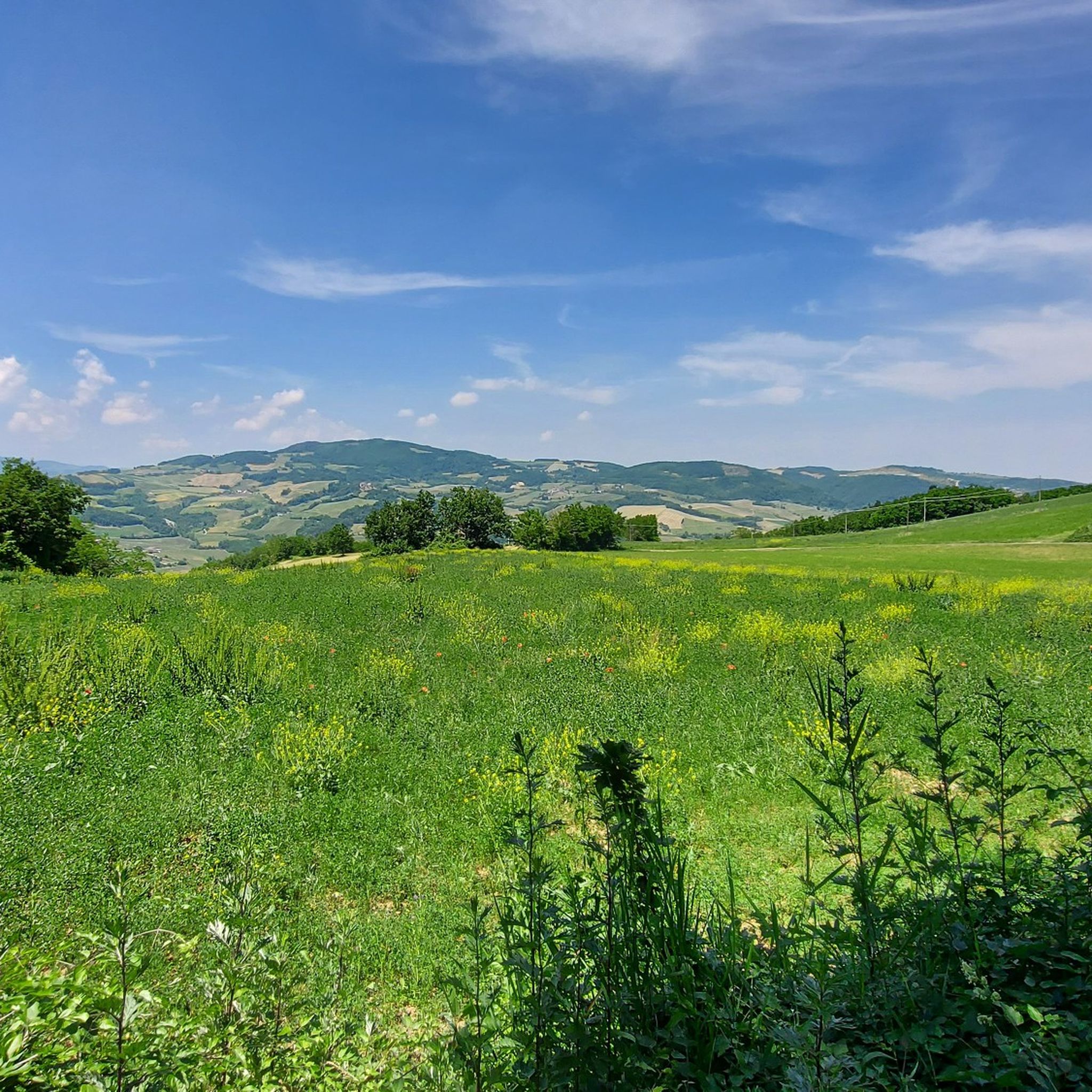
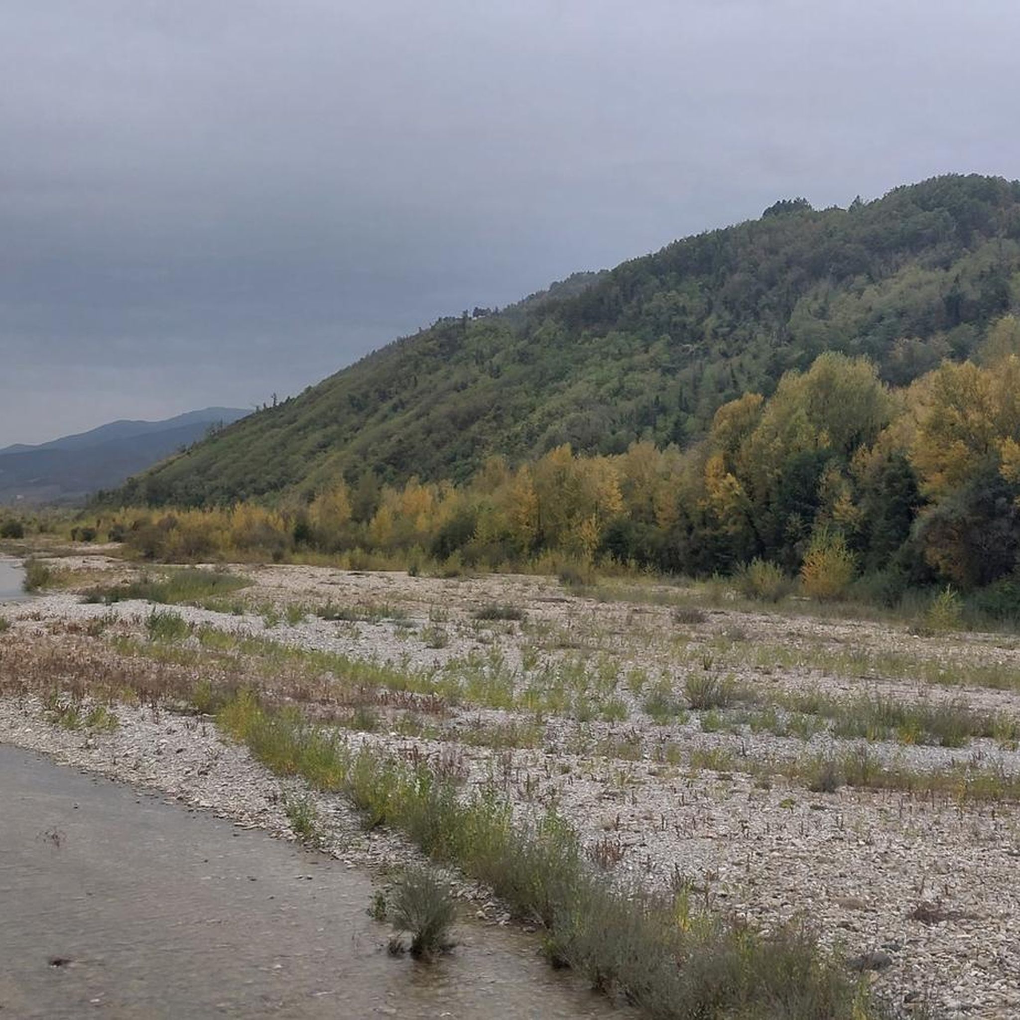
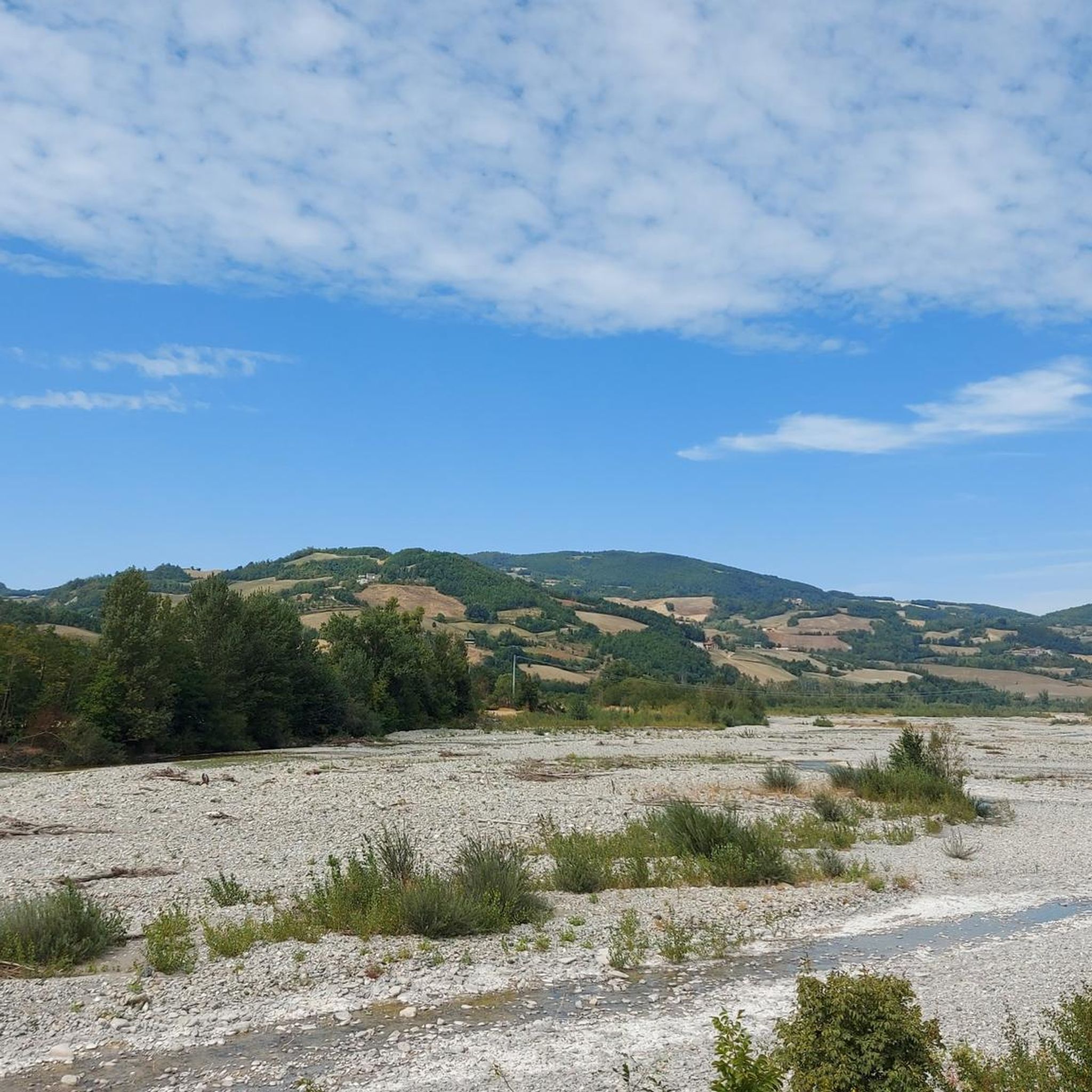

Tips from the Community

This easy and short route follows the initial part of the longer and more famous 101 Cai trekking, which officially starts in the Trebbia valley, in Travo, and ends after 55 km, on the slopes of Mount Carmo on the border between the provinces of Genoa and Pavia.
15
0

Coming from the Pigazzano antennas, this is the last ramp before going down towards Travo (or going up to Pietra Parcellara)
1
0

Prato Barbieri (Bettola) is, in fact, the place that acts as a watershed between Val Nure and Val D'Arda. Its strategic position, in fact, can be reached from 3 different sides: Bettola, Gropparello and Morfasso, makes it a very popular destination for cycling enthusiasts and motorcyclists.
0
0

Beautiful stretch of road. Priceless early in the morning or at sunset.
1
0

Scenically spectacular, cycling-wise a good training ground for those who love cycleable and constant medium-length climbs
1
0
Great climb with beautiful landscapes.
13
2

Spectacular road, if approached from the Caldarola Pass it is a beautiful and fun descent. The stretch from the top to Pietra offers an excellent view of the Pietra Parcellara. To go if you are in the area! After all, in Travo there is the possibility to fill the water bottles at the public fountain (it has its Highlight here on Komoot) /
7
0

The ascent to the Cerro da Perino pass is about 13 km long, without major slopes, except for a short 12% stretch a couple of km before the pass. Very beautiful from a landscape point of view with splendid views over the Trebbia valley and the Pietra Parcellara (between the Val Trebbia and the Val Tidone).
4
0
Frequently Asked Questions
Which mountain passes are highly regarded by visitors around Ponte Dell'Olio?
Several mountain passes in the broader Piacenza province are highly regarded. Eastern Ascent to Passo Caldarola is praised for its beautiful landscapes and fantastic panorama with little traffic. Costa del Bulla also offers excellent views and minimal traffic, with a newly asphalted descent towards Travo. Prato Barbieri (Bettola) 929 m is a popular destination for cyclists and motorcyclists due to its strategic position and accessibility from three different sides.
What kind of scenery can I expect at the mountain passes near Ponte Dell'Olio?
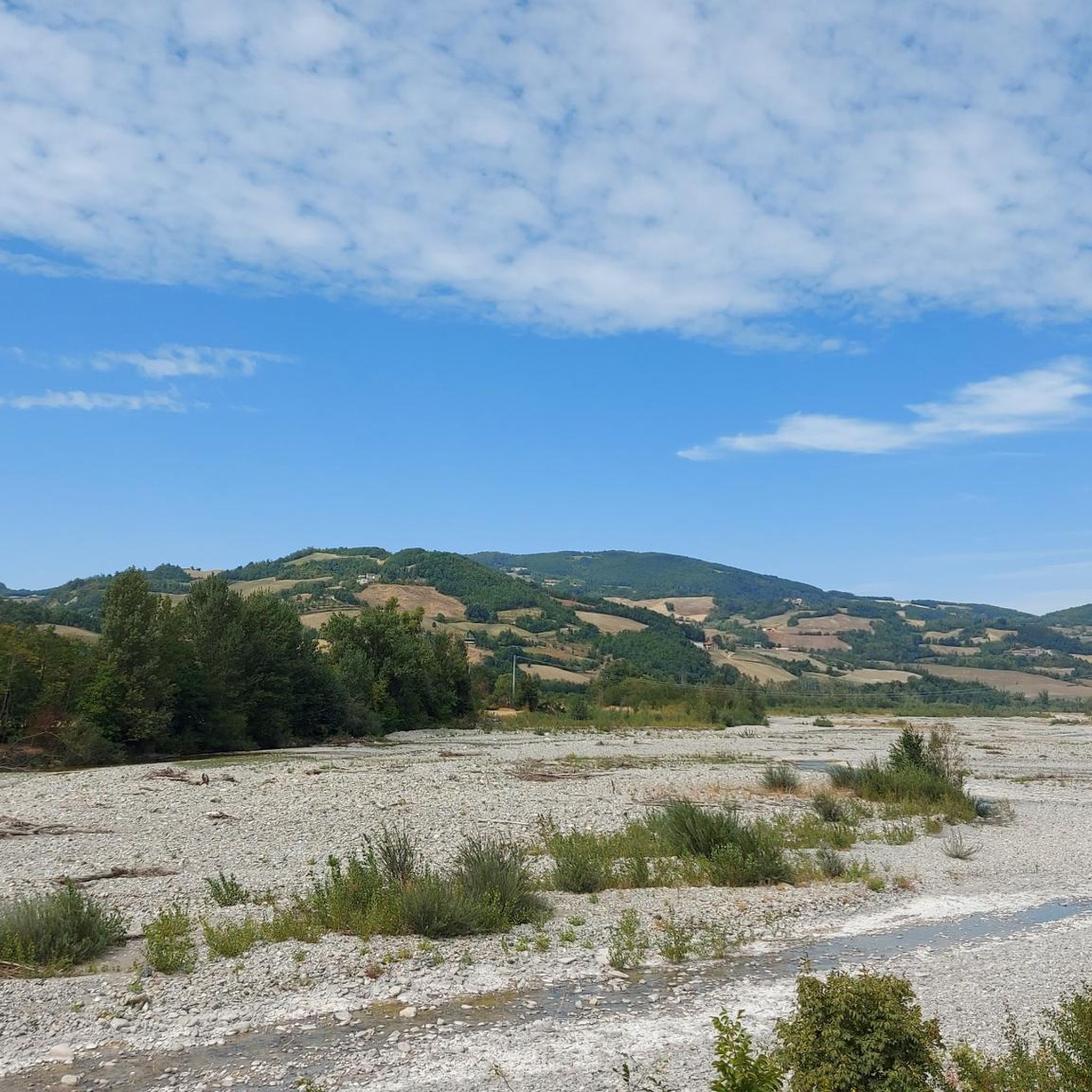
The passes and routes in the Piacenza Apennines offer breathtaking views of rolling hills, lush green valleys, and a transition from rural settings to more dramatic mountain scenery. You can expect splendid panoramic views, especially from passes like Ascent to Passo del Cerro from Perino, which overlooks the Trebbia valley and Pietra Parcellara.
Are there good cycling routes over the mountain passes in the region?
Yes, the region is a haven for cyclists. Passes like Sella dei Generali and Passo del Cerro are popular for road cycling, offering challenging routes with varying gradients and well-maintained roads. Prato Barbieri (Bettola) 929 m is also a very popular cycling destination. You can find many routes in the Cycling around Ponte Dell'Olio guide.
What hiking opportunities are available near the mountain passes?
The Piacenza Apennines boast an extensive network of trails, with over 560 km of paths suitable for walking, horse-riding, or mountain biking, particularly in the areas around Ponte Dell'Olio, Bettola, Farini, and Ferriere. For specific hiking routes, refer to the Hiking around Ponte Dell'Olio guide.
When is the best time to visit the mountain passes around Ponte Dell'Olio?
The spring season is particularly recommended for cycling, as highlighted by visitors to Eastern Ascent to Passo Caldarola. Generally, the warmer months from spring through early autumn are ideal for outdoor activities like cycling and hiking, offering pleasant weather and lush landscapes.
Are there family-friendly trails or activities around the mountain passes?
While specific mountain passes might present challenges, the broader hilly landscape around Ponte Dell'Olio and the Val Nure offers many trails suitable for various fitness levels. For easier, family-friendly options, look for routes within the Hiking around Ponte Dell'Olio guide, which includes moderate and easy trails like the 'Fallow Deer Farm loop from Ponte dell'Olio'.
Can I find routes suitable for gravel biking near these passes?
Yes, the region offers excellent opportunities for gravel biking. You can explore various routes, including those that incorporate sections of the mountain passes. Check out the Gravel biking around Ponte Dell'Olio guide for detailed routes and difficulty ratings.
What cultural or historical sites can I explore in conjunction with visiting the passes?
The area historically served as an important commercial trading post. You can combine your visit with exploring charming towns like Bobbio, known for its medieval architecture and the Ponte Gobbo, or Castell'Arquato, one of Italy's most beautiful medieval towns. These towns offer a rich cultural and culinary experience, including local PDO cured meats and wines.
What do visitors enjoy most about the mountain passes around Ponte Dell'Olio?
Visitors frequently highlight the tranquility and solitary experience offered by many routes, allowing for immersion in nature. The stunning panoramic views, the challenge of the climbs for cyclists, and the well-maintained roads are also highly appreciated. The opportunity to enjoy the landscape with very little traffic is a recurring positive comment.
Are there any less-trafficked mountain passes for a more solitary experience?
Yes, routes like the ascent from the Perino side of Sella dei Generali are known for being solitary and less-trafficked, allowing visitors to immerse themselves in nature. Similarly, Costa del Bulla is noted for having very little traffic.
Where can I find information on local amenities like cafes or accommodation near the mountain passes?
While the passes themselves are often in more remote areas, you can find cafes, restaurants, and accommodation in the charming towns and villages located in the valleys, such as Bobbio, Castell'Arquato, or Ponte Dell'Olio itself. For broader regional information, you might find useful resources on the Visit Piacenza website.
What is the Monte Denavolo Summit Cross and is it accessible?
The Monte Denavolo Summit Cross, at 702 meters, is not a pass but a significant viewpoint considered one of the first peaks dividing the Trebbia and Nure valleys. It offers 360-degree views of the surrounding landscape and is a popular attraction. It can be reached via hiking trails, such as those mentioned in the Hiking around Ponte Dell'Olio guide.
Most popular routes around Ponte Dell'Olio
Most popular attractions around Ponte Dell'Olio

Get inspired with the komoot mobile app


Explore more
See even more epic mountain passes by checking out these guides around Ponte Dell'Olio:
