Natural Park Kamm des Wesergebirges
Natural Park Kamm des Wesergebirges
Top 16 Natural Monuments around Natural Park Kamm des Wesergebirges
Natural monuments around Natural Park Kamm des Wesergebirges are primarily found within the larger Weser Uplands-Schaumburg-Hamelin Nature Park. The "Kamm des Wesergebirges" itself is a significant nature reserve known for its diverse and historically old beech forests. These protected areas feature extensive woodlands, including hornbeam-beech and orchid-calcium-beech forests, alongside numerous rock and stone biotopes on its upper slopes and ridge areas. This region provides crucial habitats for a variety of endangered plant and animal species, making it a significant ecological…
Last updated: July 10, 2026
Springsteine Rock Formations
Highlight • Natural Monument
Translated by Google •
Tip by

Osterburg near Deckbergen
Highlight • Historical Site
Translated by Google •
Tip by

Sign up now to discover places like this
Get recommendations on the best single tracks, peaks, & plenty of other exciting outdoor places.
Sign up for free
Oberberg Crevice
Highlight • Cave
Translated by Google •
Tip by

Fuchsloch Cave
Highlight • Cave
Translated by Google •
Tip by

Springsteine Trailhead and Shelter
Highlight • Rest Area
Translated by Google •
Tip by

Sign up for free to discover even more natural monuments around Natural Park Kamm des Wesergebirges.
Sign up for free
Already have an account?
Start today with a free account
Your next adventure awaits.
Login or Signup
Popular around Natural Park Kamm des Wesergebirges
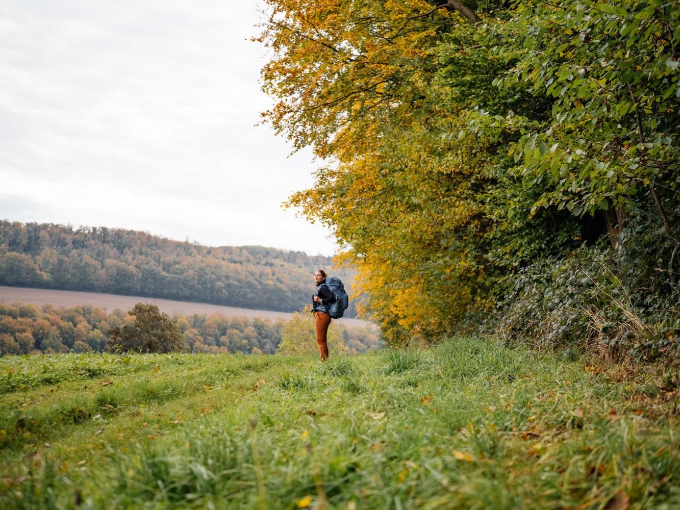
Weser Uplands Trail in autumn – out and about with Fräulein Draußen
Castles and miners – hike through history in the Weserbergland region
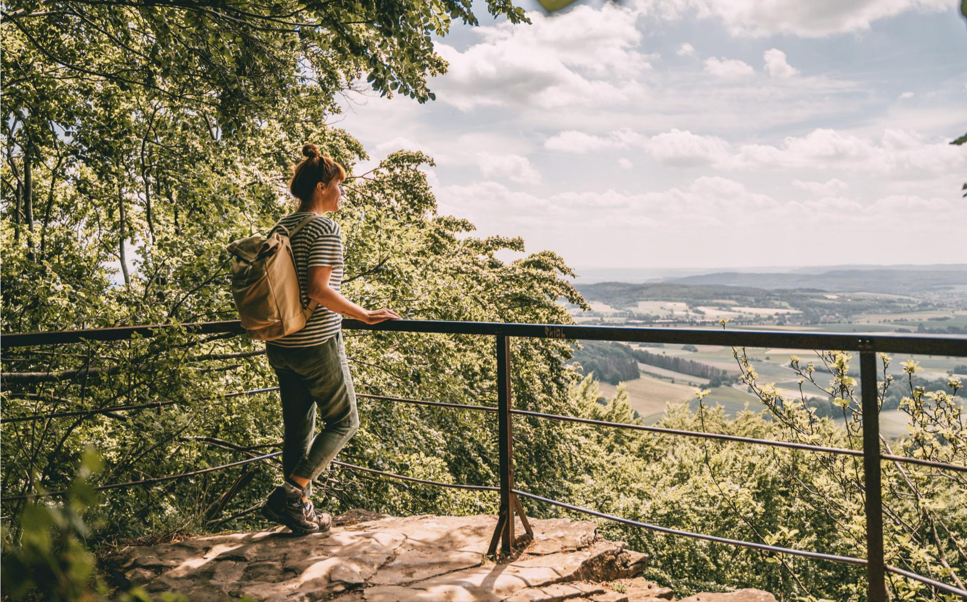
Fabulously scenic – hiking Germany’s Weserbergland Trail
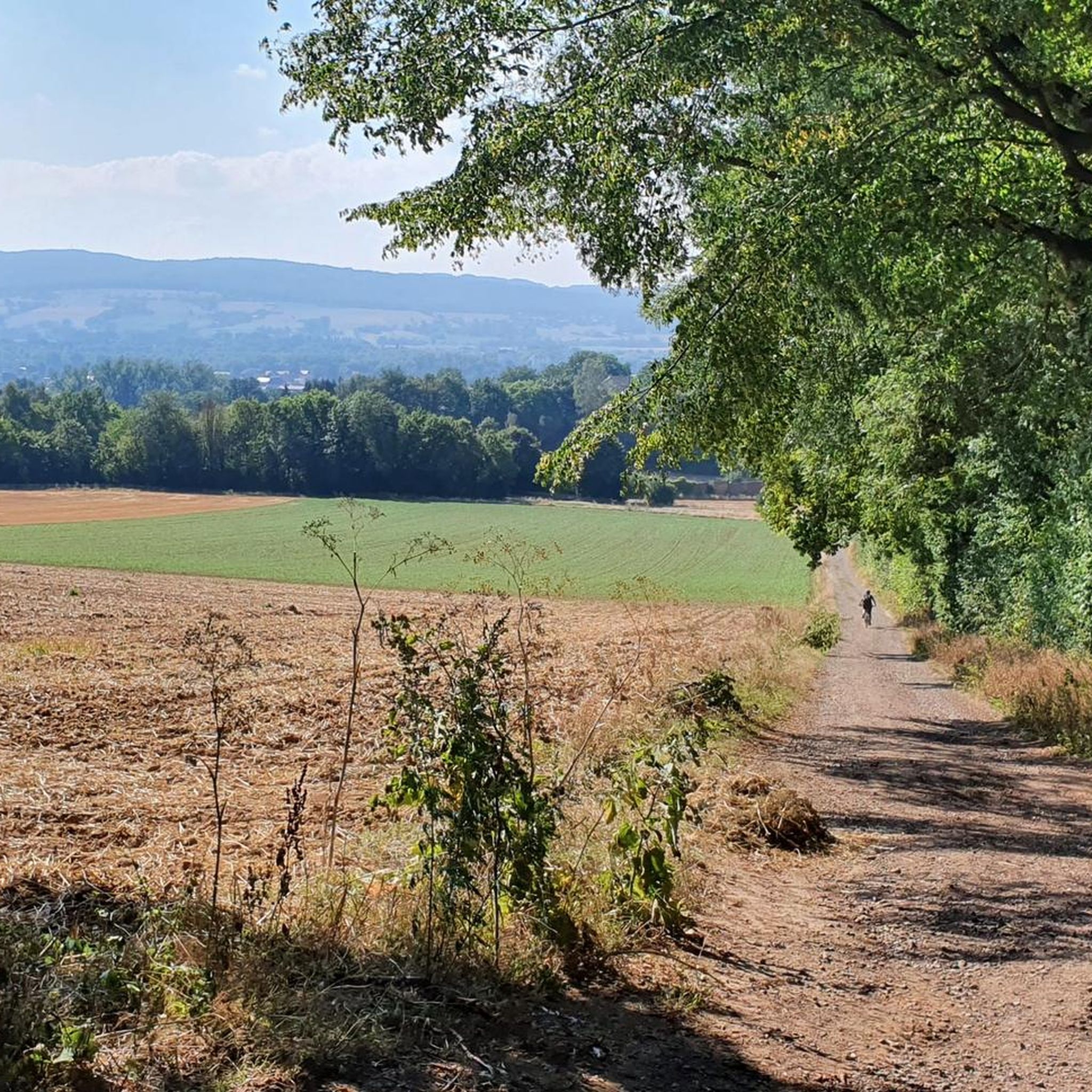
Hiking around Natural Park Kamm des Wesergebirges
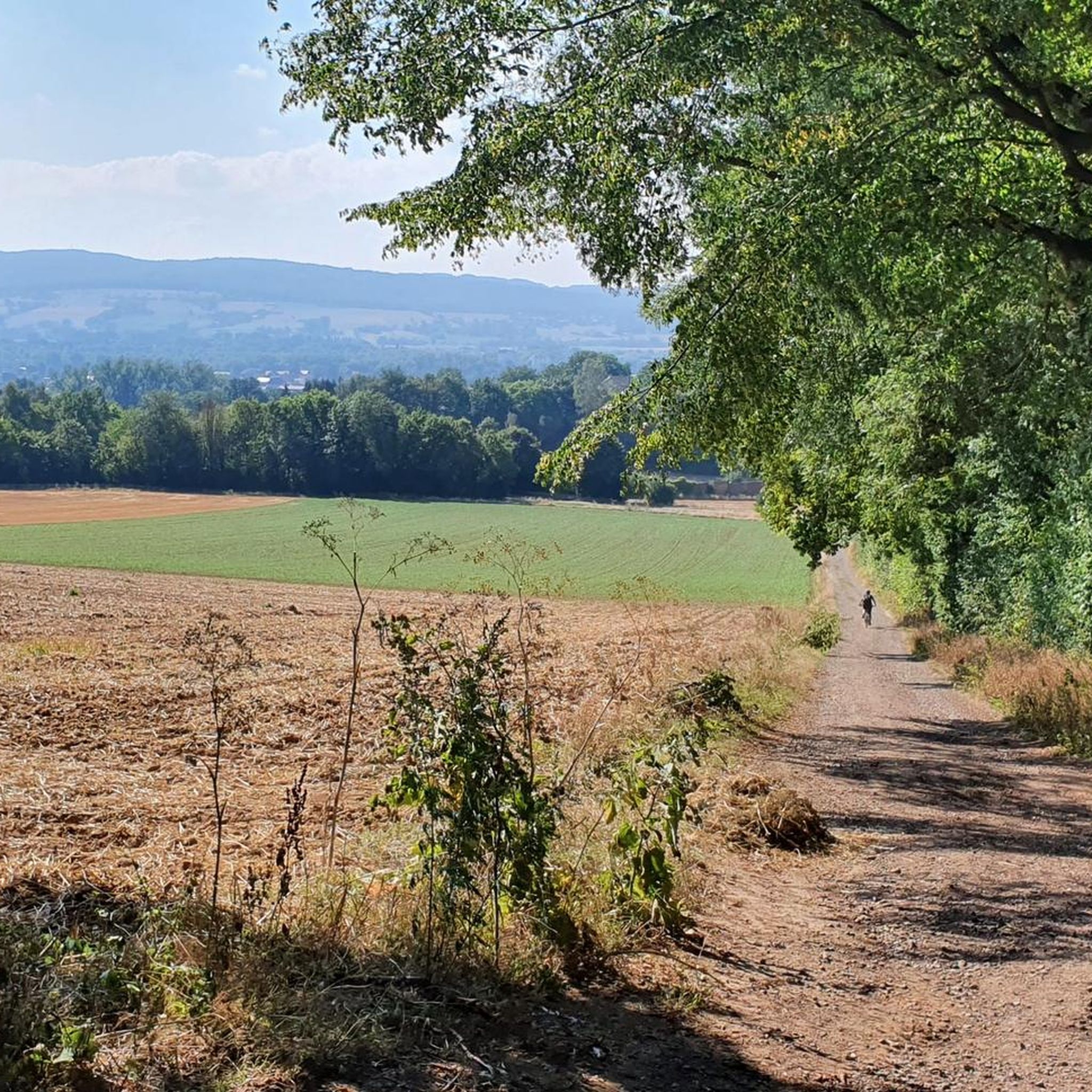
Road Cycling Routes around Natural Park Kamm des Wesergebirges
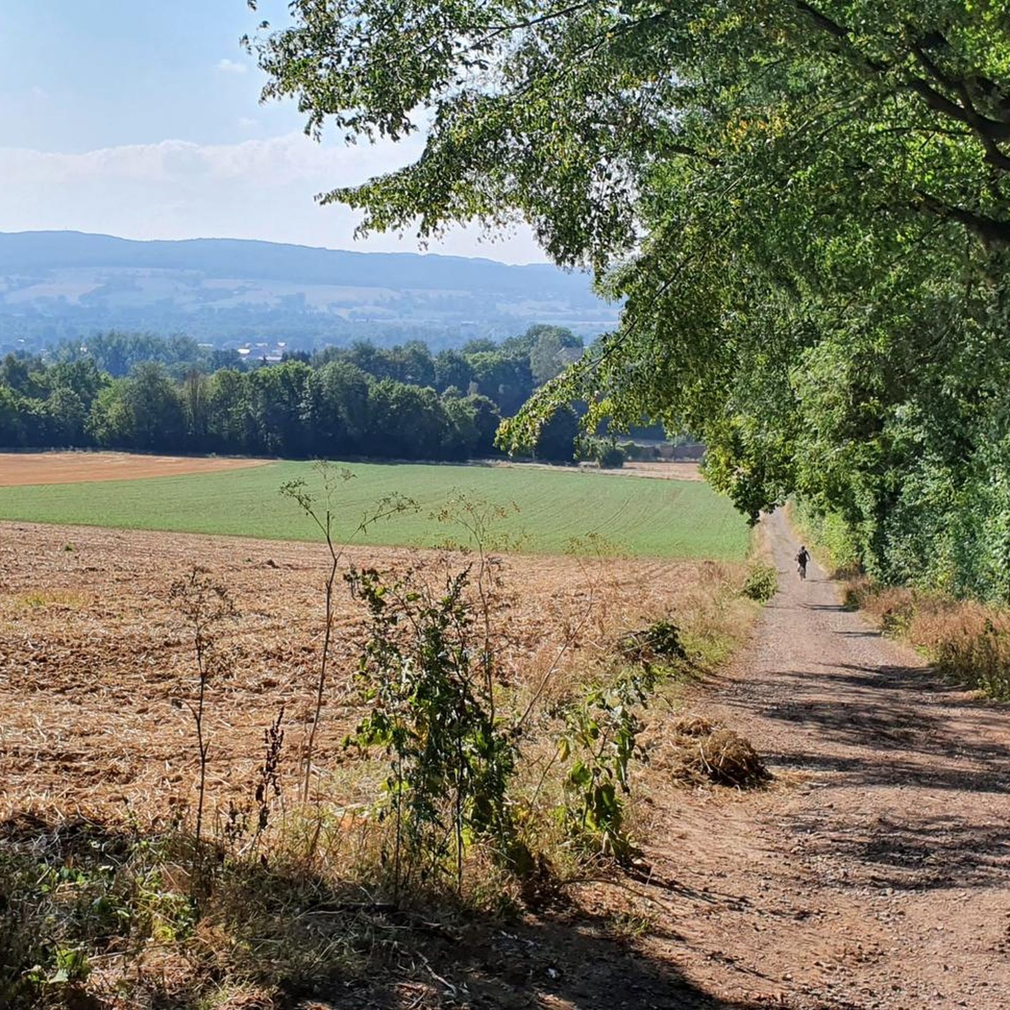
MTB Trails around Natural Park Kamm des Wesergebirges
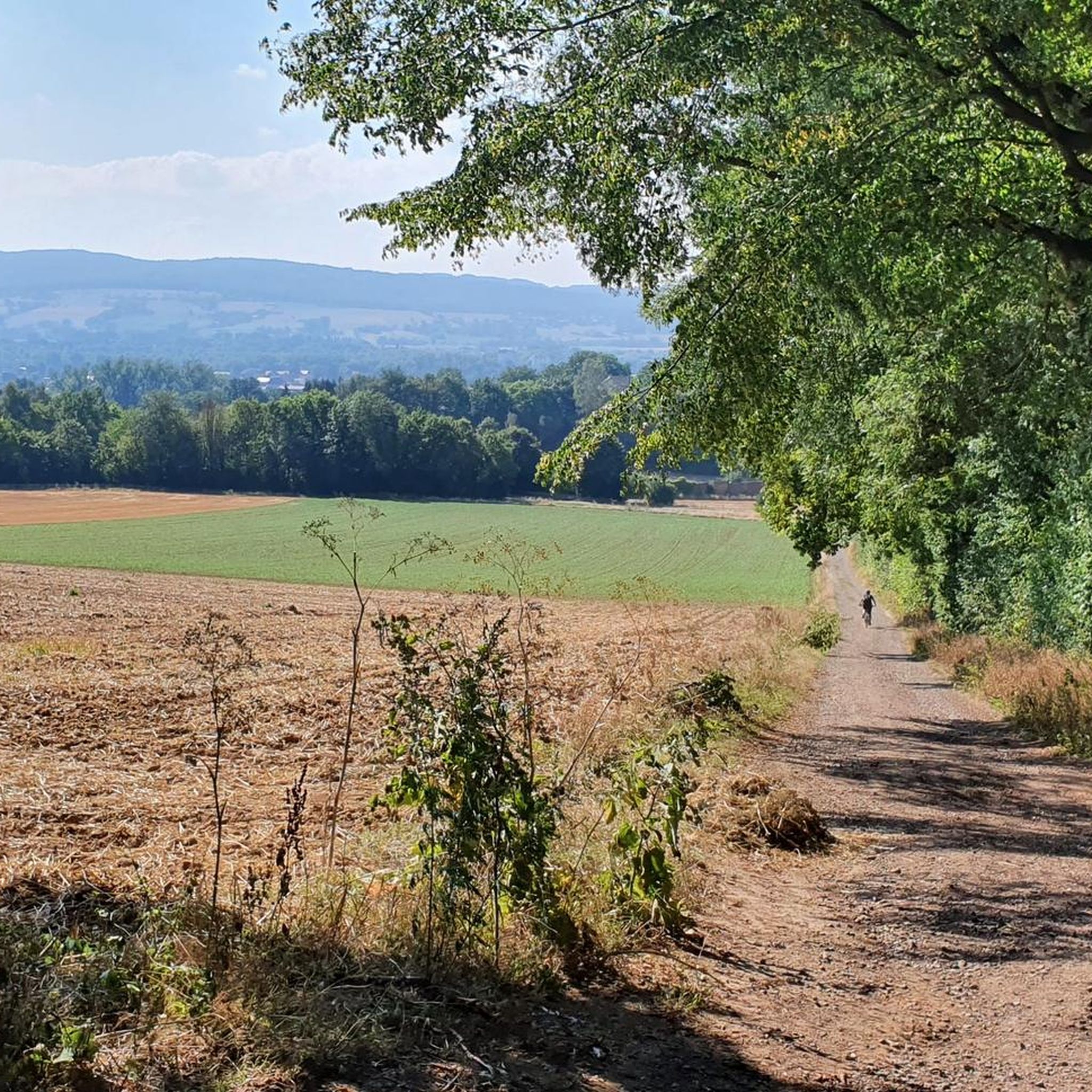
Cycling around Natural Park Kamm des Wesergebirges
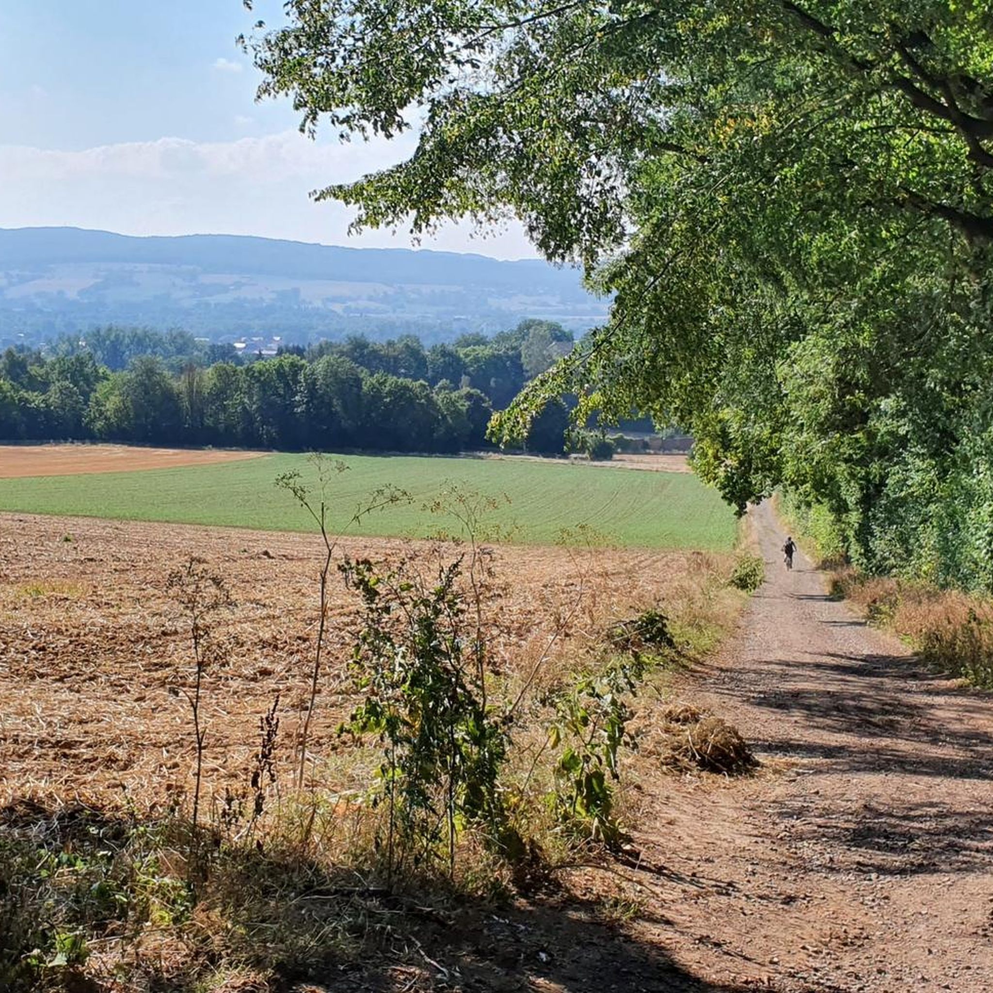
Running Trails around Natural Park Kamm des Wesergebirges

Gravel biking around Natural Park Kamm des Wesergebirges
Other adventures around Natural Park Kamm des Wesergebirges

Tips from the Community

The Oberberg fissure in the Weser Uplands is a narrow, natural crevice in the limestone of the Oberberg mountain and is one of the region's geological features. It lies well hidden on a steep slope and resembles a deep, inaccessible crack in the rock less than a cave. Due to its narrow structure, slippery limestone walls, and partially unstable floor, hiking guides advise against entering the fissure. It is precisely this mysterious yet difficult-to-access appearance that makes it such a fascinating place, best viewed from a distance.
0
0
The Springsteine in the Weserbergland region are a striking rock formation of ancient sandstone and limestone, rising jagged and bizarre from the wooded ridge near Deckbergen. Between narrow crevices, small caves, and steep rock outcrops, an impressive piece of geological history is revealed, providing a habitat for bats, among other creatures. The name "Springsteine" derives from their once prominent location, visible from afar, when they stood like prominent landmarks above the valley. Today, narrow paths wind through them, making the Springsteine a particularly attractive destination for hikers who appreciate geological features, tranquility, and unusual natural formations.
0
0

The Osterburg consisted of two neighbouring, independent castles on two hills, which were separated by a moat. They were protected from the outside by earthen ramparts and a deep moat. The remains of a ring wall are believed to be in the ramparts, but archaeological investigations can only provide information about this. The northern and smaller castle hill appears to be of more recent date. The oval structure has a diameter of around 40 × 50 m and a height of around 3 m. In the direction of the larger castle hill to the south there was an area of a small outer bailey. The main castle has an area of around 50 × 70 m and a height of up to 7 m. On it, a round rubble mound with stone remains indicates the former presence of a round tower made of rubble stone. Soil anomalies and depressions on the castle hills indicate collapsed cellars of earlier buildings, which are to be expected here as commercial and residential buildings. The holes may also have been caused in part by illegal excavations, which have already caused major damage to the remains of the castle complex. The distinctive soil shapes of the complex are still clearly visible in the area today, especially due to the surrounding ring moat in the shape of a figure of eight. At the castle site there is now an information board with an explanatory text that shows the complex in plan and as an attempt at reconstruction. The history of Osterburg is largely unknown. It was first mentioned in documents in 1121. Source: https://de.wikipedia.org/wiki/Osterburg_(Deckbergen)
1
0
The Springsteine owe their name to the fact that in the past - when the mountains were not yet so densely forested - they could be seen "jumping out" from the valley of the cliffs on the slope.
1
0

Interesting rock formations from which the Springsteine, also located on the hike, were created
0
0

Impressive little cave a little off the beaten track. You have to be careful not to walk past it. But when you stand in front of it, it's impressive to see such a cave and how dark it is inside. Anyone who likes natural phenomena will definitely enjoy this sight. :)
0
0

Frequently Asked Questions
What are some of the most notable natural monuments around Natural Park Kamm des Wesergebirges?
The region offers a variety of interesting natural monuments. Among the most popular are the Springsteine Rock Formation, known for its geological interest and small fossils. Another must-see is the Fuchsloch Cave, a small hidden cave that serves as a habitat for bats. You can also explore the Oberberg Crevice, a unique and very narrow geological gap.
What kind of natural features can I expect to see in the Natural Park Kamm des Wesergebirges region?
The Natural Park Kamm des Wesergebirges is characterized by its diverse and historically old beech forests, including Waldmeister-beech, hornbeam-beech, and orchid-calcium-beech forests. You'll also find numerous rock and stone biotopes on the upper slopes and ridge areas, as well as ravine forests in fractured, humid, and shaded spots. These varied habitats support a rich biodiversity, making it an excellent place for nature observation.
Are there popular hiking trails near the natural monuments in the Kamm des Wesergebirges?
Yes, the area around Natural Park Kamm des Wesergebirges is excellent for hiking. You can find a range of trails, including easy options like the "Ruins of Hünenburg – Tree of a Thousand Roots loop" or the "Springsteine Rock Formations – View of Schaumburg Castle loop." For more hiking ideas, explore the easy hikes guide for the region.
What are the typical terrain and difficulty levels for hiking around the Natural Park Kamm des Wesergebirges?
The terrain in the Kamm des Wesergebirges often involves ridge areas, upper slopes, and fractured, rocky sections, especially where cliffs are present. While there are many easy and moderate trails, some routes can be challenging due to elevation changes and uneven surfaces. For example, the "Hünenburg Shelter loop" is considered difficult, while many routes around the Springsteine Rock Formations are easy.
Can I find routes for other outdoor activities besides hiking?
Absolutely! Beyond hiking, the region offers opportunities for road cycling and running. Cyclists can find routes like the "Old Harbor, Rinteln – Weser Bridge, Fuhlen loop," and runners can enjoy trails such as the "Rest Area at Lange Wand Trail – Vorbergsplatz Rest Area loop." You can find more details in the road cycling routes guide and the running trails guide.
Are there family-friendly natural monuments or trails suitable for children?
Yes, the area includes spots that are suitable for families. The Springsteine Trailhead and Shelter is a good starting point for family-friendly excursions, offering parking facilities and outdoor seating. The nearby Springsteine Rock Formation itself is an interesting natural monument that can be explored by families.
What do visitors enjoy most about the natural monuments in this region?
Visitors frequently highlight the geological interest of sites like the Springsteine Rock Formation, where small fossils can be observed. The unique natural formations, such as the narrow Oberberg Crevice, also draw appreciation. The overall experience of immersing oneself in the diverse and structurally rich forest communities is a major draw for nature enthusiasts.
Are there any historical landmarks or sites near the natural monuments?
While the focus is on natural monuments, the region does have historical significance. For instance, the Osterburg near Deckbergen is a historical site where remnants of an early medieval castle can be imagined through ground drops and an information board, offering a glimpse into the area's past alongside its natural beauty.
What is the best time to visit the natural monuments around Natural Park Kamm des Wesergebirges?
The diverse beech forests and rock biotopes make the region appealing throughout the year. Spring offers vibrant greenery and blooming flora, while autumn showcases stunning fall foliage. Summer is ideal for longer hikes, and even winter can be beautiful, though some trails might require appropriate gear due to snow or ice. The best time largely depends on your preferred activities and scenery.
Are there specific viewpoints or scenic spots to look out for?
The ridge areas and upper slopes of the Kamm des Wesergebirges often provide scenic views over the surrounding landscape. While specific named viewpoints are not extensively highlighted, the nature of the terrain suggests that many trails will offer picturesque vistas, especially from elevated positions within the forest or near rock formations.
Is the Fuchsloch Cave accessible, and what should I know before visiting?
The Fuchsloch Cave is a small, hidden cave found along the wayside. Visitors should be aware that it is a habitat for bats, and therefore, it is recommended not to enter the cave to avoid disturbing the wildlife. It's more of a point of interest to observe from the outside.
Where can I find parking facilities for accessing trails and natural monuments?
A convenient starting point with parking facilities is the Springsteine Trailhead and Shelter. This location offers ample parking and serves as a gateway to various trails leading to the Kammweg, Schaumburg, Paschenburg, and the Springsteine Rock Formation.
Are there any hidden natural gems or lesser-known spots worth exploring?
While the main natural monuments are well-documented, the broader Natural Park Kamm des Wesergebirges is rich in diverse natural habitats. Exploring off the main paths, while respecting protected areas, can reveal unique rock-crevice and moss-lichen communities, as well as fragments of rock grasslands and thermophilic shrub communities on sun-exposed ledges, offering a chance to discover lesser-seen natural beauty.
Most popular routes around Natural Park Kamm des Wesergebirges
Most popular attractions around Natural Park Kamm des Wesergebirges

Get inspired with the komoot mobile app


Explore more
Extend your search for the best caves by checking out these guides of the top ones around Natural Park Kamm des Wesergebirges:
