The best cycling routes around Natural Park Kamm des Wesergebirges
4.5
(10113)
42,093
riders
867
rides
Touring cycling around Natural Park Kamm des Wesergebirges offers diverse landscapes characterized by gentle mountain ranges, verdant valleys, and rolling hills. The region features impressive rock formations, including steep cliffs, and is defined by the Weser River, which carves its way through the mountains. Cyclists can explore varied natural settings, from marsh and moor to heath areas further downstream. This natural park provides a scenic backdrop for cycling excursions.
Best touring cycling routes around Natural Park Kamm des Wesergebirges
- The…
Last updated: October 21, 2026
4.7
(29)
65
riders
20.4km
01:17
100m
100m
Easy bike ride. Mostly paved surfaces.
4.2
(37)
114
riders
15.0km
00:55
120m
120m
Easy bike ride. Mostly paved surfaces.

4.2
(45)
166
riders
Moderate bike ride. Good fitness required. Mostly paved surfaces.
3.5
(6)
79
riders
Easy bike ride. Mostly paved surfaces.
4.5
(11)
27
riders
Moderate bike ride. Good fitness required. Mostly paved surfaces.
Get access to more routes and recommendations from other explorers.
Already have an account?
Our route recommendations are based on thousands of hikes, rides, and runs completed by other people on komoot.
Start today with a free account
Your next adventure awaits.
Popular around Natural Park Kamm des Wesergebirges
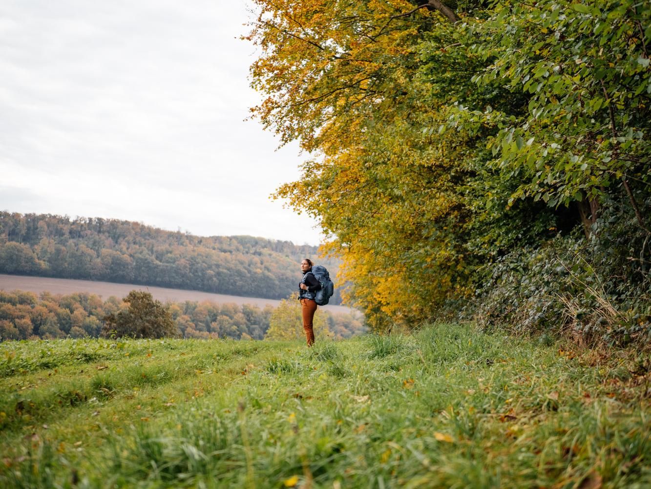
Weser Uplands Trail in autumn – out and about with Fräulein Draußen
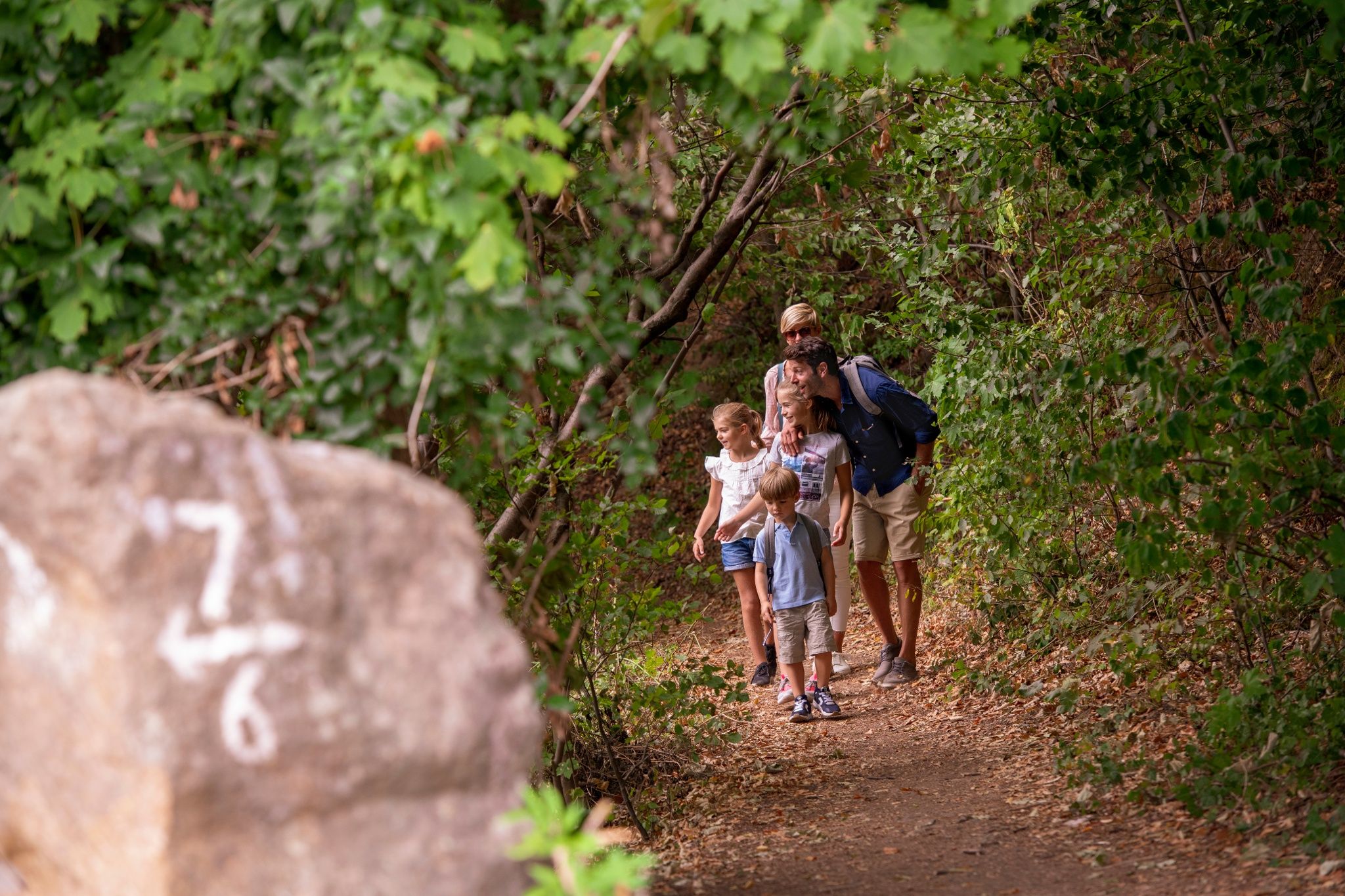
Castles and miners – hike through history in the Weserbergland region
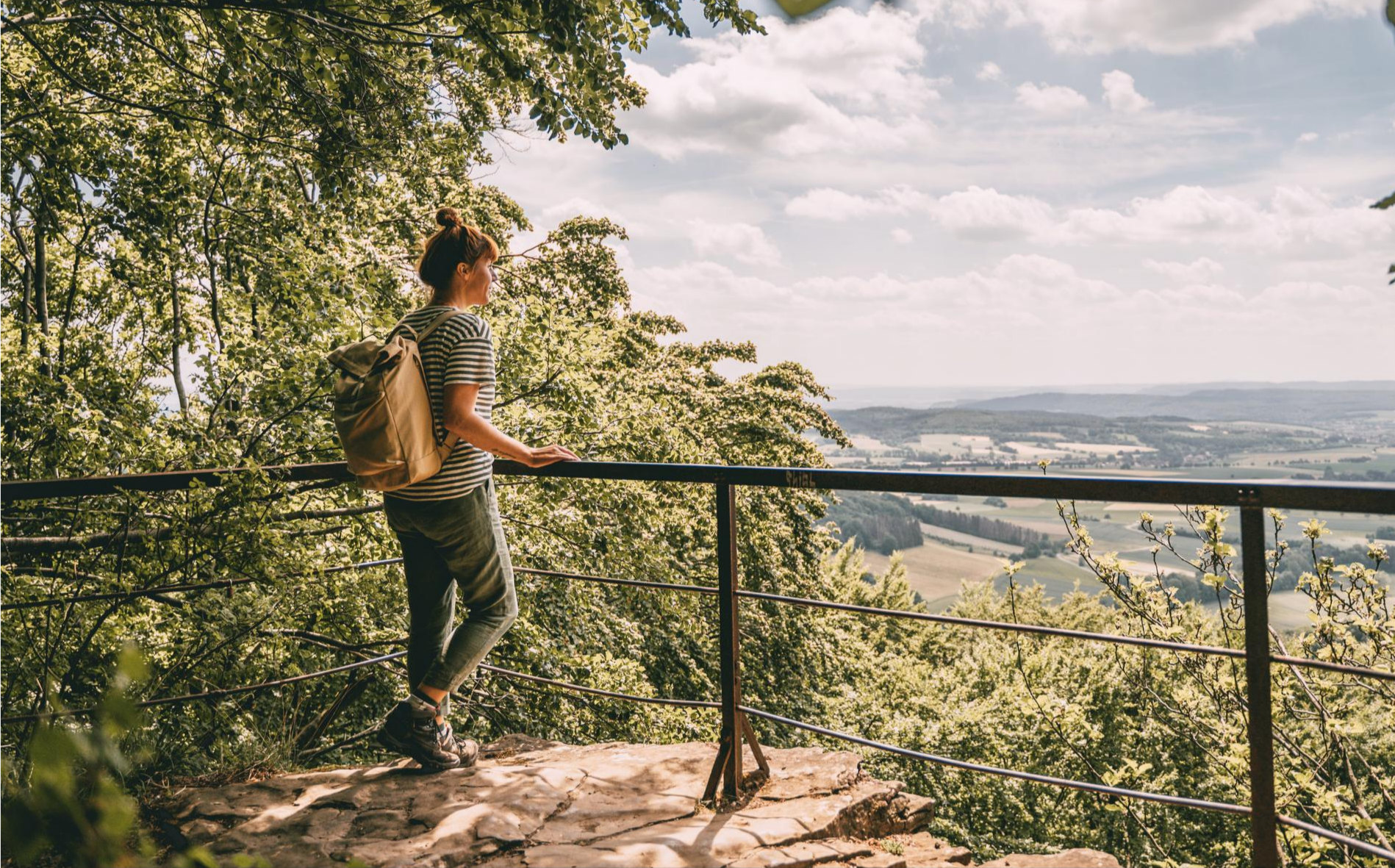
Fabulously scenic – hiking Germany’s Weserbergland Trail
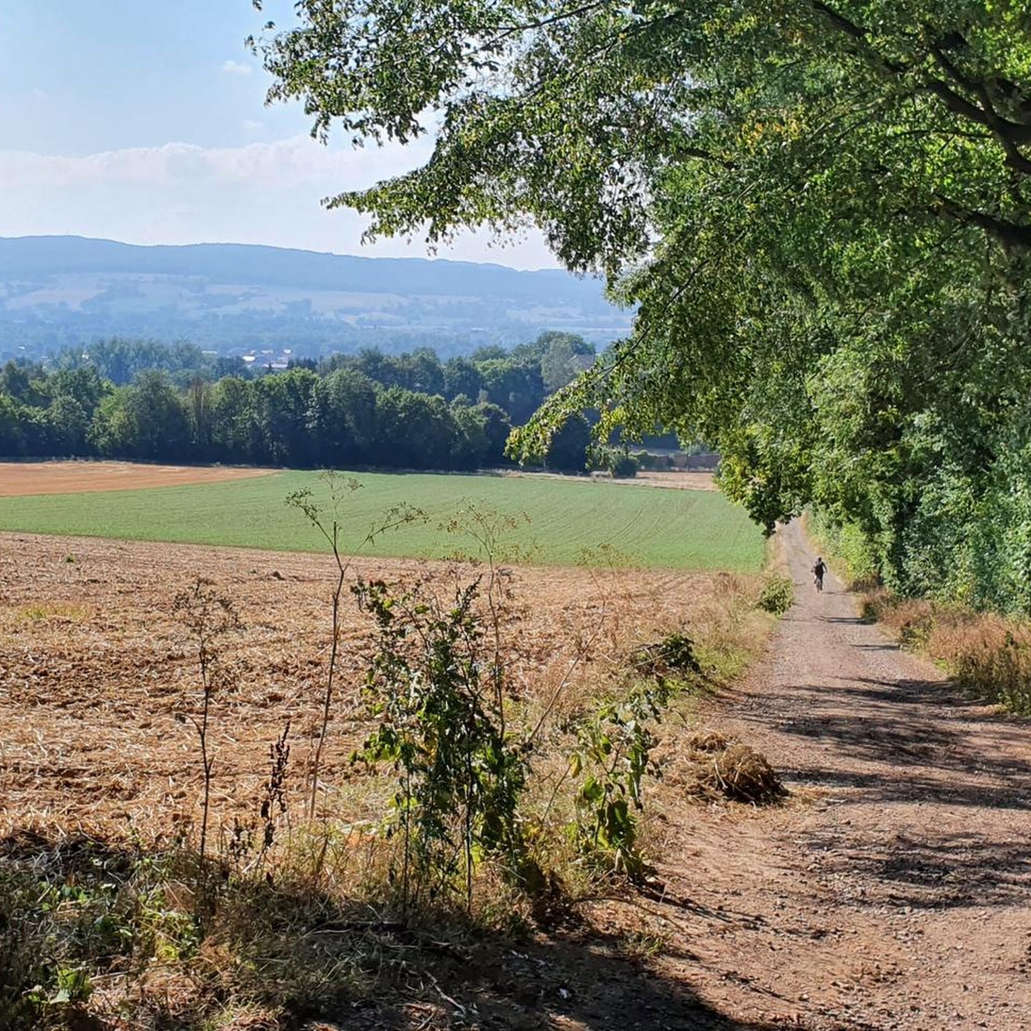
Hiking around Natural Park Kamm des Wesergebirges
MTB Trails around Natural Park Kamm des Wesergebirges
Road Cycling Routes around Natural Park Kamm des Wesergebirges
Running Trails around Natural Park Kamm des Wesergebirges

Gravel biking around Natural Park Kamm des Wesergebirges
Other adventures around Natural Park Kamm des Wesergebirges

Tips from the Community

The Weser begins in Hann. Münden through the confluence of the Werra and Fulda and ends at its mouth in the North Sea near Bremerhaven or in the outer Weser.
8
0
The Weser (Low German Werser or Wersern; Latin Bisurgis, Visurgis; Old High German Wisera, Wisura;[6] West Frisian Wißuhr[7]) is a river that flows northward through the Mittelgebirgsschwelle and the North German Plain. It takes its name from Hann. Münden, where its two major headwaters, the Werra and the Fulda, unite.
4
0

Picturesque view over the mountainous river landscape.
0
0

Beautiful cycle path through fields and villages with beautiful views of the Weser.
0
0


Very beautiful promenade, which invites you to linger
1
0
Worth the trip in any season
0
0

The Werser is one of the most famous rivers in Germany.
1
0
Frequently Asked Questions
How many touring cycling routes are available in Natural Park Kamm des Wesergebirges?
There are over 900 touring cycling routes in Natural Park Kamm des Wesergebirges. This includes more than 480 easy routes, 320 moderate routes, and 100 difficult routes, offering options for all skill levels.
What kind of terrain can I expect on touring cycling routes in Natural Park Kamm des Wesergebirges?
The region features diverse terrain, from largely flat riverside paths along the Weser River to rolling hills and more challenging climbs within the wooded uplands. While the broader Weser Cycle Route is mostly flat, the Natural Park Kamm des Wesergebirges itself includes gentle mountain ranges and valleys, providing varied elevation changes.
Are there any easy touring cycling routes suitable for beginners or families?
Yes, there are many easy routes. For a scenic and manageable ride, consider the Großenwieden Cable Ferry – View of Schaumburg Castle loop from Schaumburg, an easy 19.8 km (12.3 miles) route offering views of Schaumburg Castle. Another easy option is the View of Klippenturm – Schaumburger Land loop from NSG Im Bergkamp, which is 11.0 km (6.9 miles) long.
What natural features can I see while cycling in the Natural Park Kamm des Wesergebirges?
The park is known for its extensive natural beech forests, including rare orchid-rich varieties, and the unique twisted Süntel beech trees. You'll also encounter rocky crags and geological formations like the Springsteine Rock Formation. The Weser River and its tributaries are prominent, carving through the landscape and offering picturesque river views.
Are there any historical landmarks or castles along the touring cycling routes?
Absolutely. The region is rich in history. You can cycle past or near several castles and historical sites. Notable examples include Schaumburg and Paschenburg Castles, the Osterburg near Deckbergen, and the Hünenburg Medieval Castle Ruins (Rinteln). Many routes also pass through charming historic towns with half-timbered houses.
What do other touring cyclists say about the routes in Natural Park Kamm des Wesergebirges?
The routes in Natural Park Kamm des Wesergebirges are highly rated by the komoot community, with an average score of 4.5 stars from over 9,000 reviews. Reviewers often praise the diverse landscapes, the well-maintained paths, and the combination of natural beauty with historical sights.
Can I find routes that pass through Rinteln's historic old town?
Yes, Rinteln's historic old town is a popular feature on several touring cycling routes. One such route is the Rinteln’s Historic Old Town – Old Harbor, Rinteln loop from NSG Kamm des Wesergebirges, a moderate 30.0 km (18.7 miles) trail that allows you to explore the town's charm.
Are there any loop routes for touring cyclists?
Many routes in the Natural Park Kamm des Wesergebirges are designed as loops, offering convenient starting and ending points. For example, the Bodega Beach Club, Rinteln – Rinteln’s Historic Old Town loop from NSG Kamm des Wesergebirges is a moderate 18.2 km (11.3 miles) loop that takes you through varied scenery.
What is the best time of year for touring cycling in this region?
The spring, summer, and early autumn months (roughly April to October) are generally the best for touring cycling in the Natural Park Kamm des Wesergebirges. During these periods, the weather is typically mild, and the natural beech forests are particularly vibrant. The Weser Cycle Route is popular throughout this time, and the hilly areas are also enjoyable before winter conditions set in.
Are there any viewpoints or panoramic spots along the cycling routes?
Yes, the rolling hills and ridges offer several excellent viewpoints. The Paschenburg — View of the Weser Valley is a notable spot offering expansive views. Additionally, the Weser Skywalk near Würgassen (in the wider Weserbergland) provides a remarkable panoramic view of the river and surrounding area.
Is public transport accessible for reaching touring cycling routes in the Natural Park Kamm des Wesergebirges?
The Weserbergland region, which includes the Natural Park Kamm des Wesergebirges, has some public transport options, including regional trains and buses that connect to towns like Rinteln. These can be used to access various starting points for cycling routes, particularly those along the Weser River. It's advisable to check local transport schedules and bike carriage policies for specific routes.
Most popular routes around Natural Park Kamm des Wesergebirges
Most popular attractions around Natural Park Kamm des Wesergebirges

Get inspired with the komoot mobile app


Explore more
Browse the best Cycling routes in other regions.
