The best road cycling routes around Lang
4.6
(187)
4,457
riders
352
rides
Road cycling routes around Lang offer diverse terrain characterized by rolling hills, extensive vineyards, and forested areas, providing varied elevation profiles for cyclists. The region, located in Southern Styria, Austria, features a network of roads that wind through picturesque agricultural landscapes and charming villages. Cyclists can expect routes with moderate climbs and descents, suitable for different fitness levels. This area is known for its scenic countryside, making it a compelling destination for road cycling.
Best road cycling routes around Lang
…Last updated: July 5, 2026
4.8
(16)
189
riders
64.1km
02:43
420m
420m
Moderate road ride. Good fitness required. Mostly well-paved surfaces and easy to ride.
5.0
(3)
33
riders
85.0km
03:39
530m
530m
Moderate road ride. Good fitness required. Mostly well-paved surfaces and easy to ride.

Sign up for free
5.0
(1)
43
riders
Moderate road ride. Great for any fitness level. Some segments of this route may be unpaved and difficult to ride.
5.0
(1)
40
riders
59.7km
03:00
650m
650m
Moderate road ride. Good fitness required. Mostly well-paved surfaces and easy to ride.
30
riders
87.4km
03:44
480m
480m
Moderate road ride. Good fitness required. Mostly well-paved surfaces and easy to ride.
Get access to more routes and recommendations from other explorers.
Sign up for free
Already have an account?
Our route recommendations are based on thousands of hikes, rides, and runs completed by other people on komoot.
Start today with a free account
Your next adventure awaits.
Login or Signup

Tips from the Community

The museum in the castle, dedicated to the Dobl transmitter and historical transmission technology, is highly recommended.
0
0

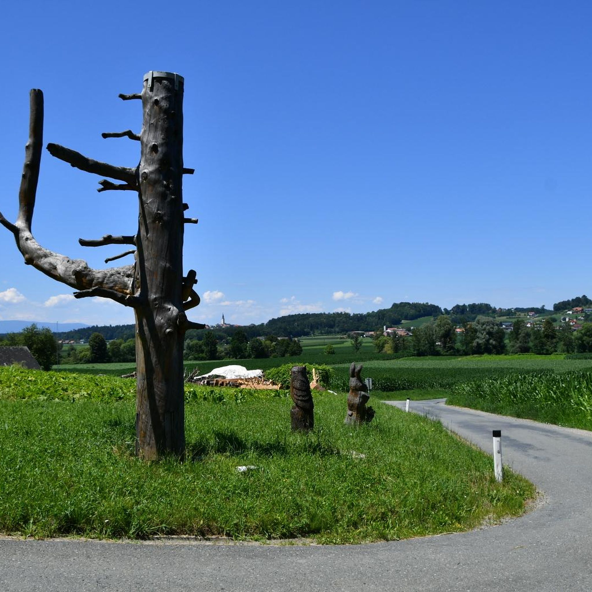
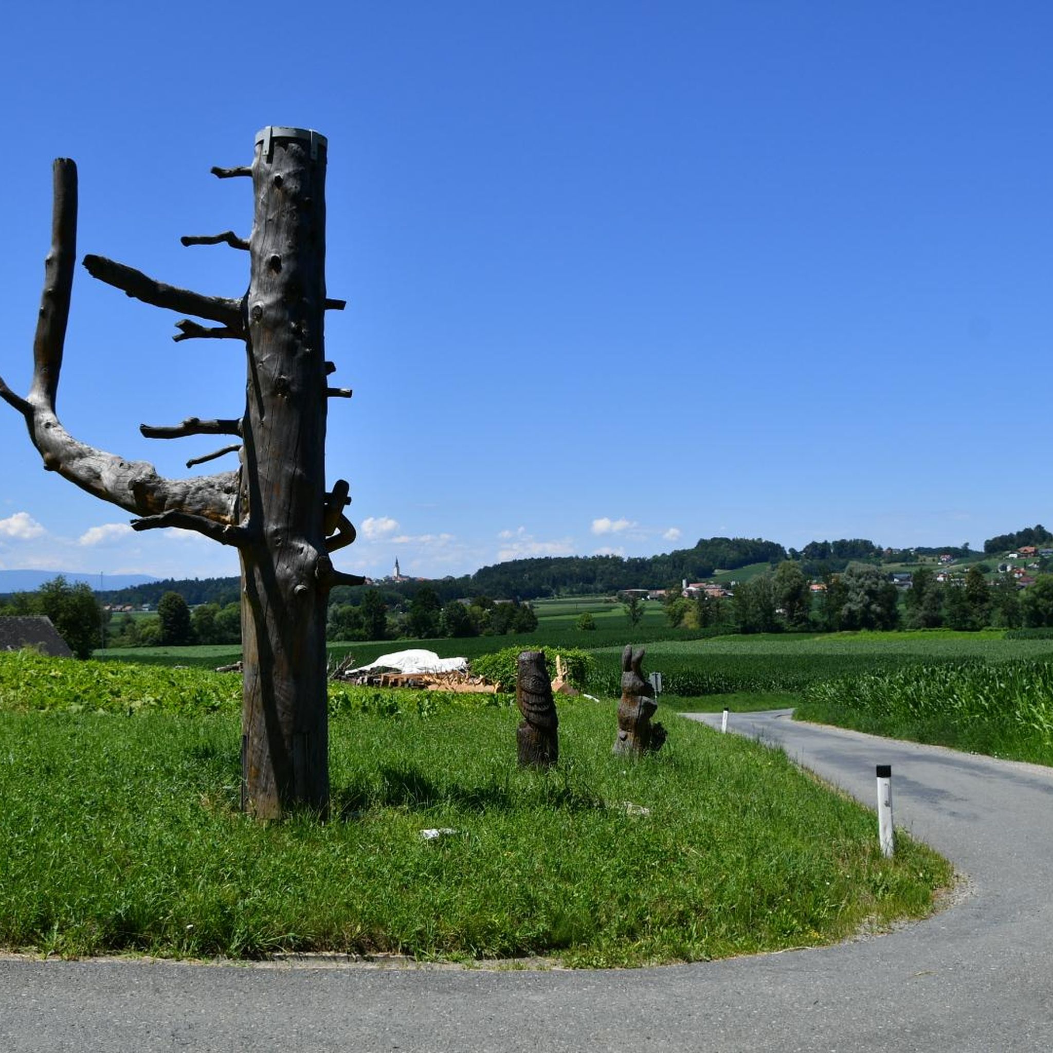
Very interesting sculpture, invites you to linger.
0
0

Kirchenwirt is worth a visit - delicious fried chicken salad
1
0


giant wheel statue, here you can also find hiking and cycling maps
0
0

Giant bicycle statue
0
0
Frequently Asked Questions
What kind of terrain can I expect when road cycling in Lang?
Road cycling in Lang, located in Southern Styria, Austria, offers diverse terrain characterized by rolling hills, extensive vineyards, and forested areas. You'll find a network of roads winding through picturesque agricultural landscapes and charming villages, providing varied elevation profiles with moderate climbs and descents.
How many road cycling routes are available around Lang?
There are over 350 road cycling routes available around Lang, catering to various skill levels. This includes 62 easy routes, 244 moderate routes, and 52 difficult routes.
Are there road cycling routes suitable for beginners in Lang?
Yes, Lang offers a good selection of routes for beginners. There are 62 easy road cycling routes with gentler gradients, perfect for those new to the sport or looking for a more relaxed ride. These routes often traverse the scenic countryside and vineyards.
Where can I find more challenging road cycling routes in Lang?
For those seeking a challenge, Lang features 52 difficult road cycling routes with more significant elevation gains. These routes often explore the region's rolling hills and forested sections, providing a more strenuous workout. An example of a moderate route with notable elevation is the Gamlitz Town Center – Leibnitz Town Hall and Square loop from Lebring, which includes over 660 meters of climbing.
What do other cyclists say about road cycling in Lang?
The road cycling routes in Lang are highly rated by the komoot community, with an average score of 4.6 stars from over 170 reviews. More than 4000 road cyclists have used komoot to explore Lang's varied terrain, often praising the scenic countryside, vineyards, and the diverse range of routes available.
Are there many loop trails for road cycling around Lang?
Yes, many of the road cycling routes around Lang are designed as loops, allowing you to start and finish at the same point. Examples include the popular Hop Fields in Leutschach – Gamlitz Town Center loop from Lebring and the Grottenhof Nature Park Centre – Eibiswald loop from Lebring.
What natural attractions can I see along the road cycling routes in Lang?
While cycling around Lang, you can encounter various natural attractions. The region is known for its picturesque agricultural landscapes, vineyards, and forested areas. You might also find highlights such as the Birdwatching spot at the reservoir or the Confluence of the Lassnitz and the Sulm rivers.
Are there any interesting landmarks or historical sites to explore near the road cycling routes?
Yes, the area around Lang offers some interesting landmarks. You can explore the Ruins and Excavations on Wildon Castle Hill, which provides a glimpse into the region's history. These sites can be a great addition to your cycling trip.
Can I find scenic viewpoints on the road cycling routes around Lang?
Absolutely. The rolling hills and diverse landscape of Lang provide numerous opportunities for scenic views. One notable viewpoint is the Kreuzkogel Lookout Tower, which offers panoramic vistas of the surrounding Styrian landscape.
Is public transport accessible for reaching road cycling trailheads in Lang?
While specific public transport connections to every trailhead are not detailed, Lang is part of Southern Styria, Austria, a well-developed region. It is advisable to check local bus or train schedules for connections to towns like Lebring, which serves as a common starting point for many routes, including the Grottenhof Nature Park Center – Grötsch Chapel loop from Lebring.
Are there less crowded road bike trails around Lang?
Given the extensive network of over 350 routes, it is possible to find less crowded options, especially on weekdays or by exploring some of the less frequented paths through the vineyards and forested areas. The region's charm lies in its ability to offer both popular and more secluded cycling experiences.
What is the best season for road cycling in Lang?
The best season for road cycling in Lang is typically from spring to autumn. During these months, the weather is generally pleasant, and the vineyards are lush. Spring offers blooming landscapes, while autumn provides beautiful fall colors, making for very scenic rides.
Most popular attractions around Lang

Get inspired with the komoot mobile app


Explore more
Browse the best Road cycling routes in other regions.
