The 4 Most Amazing Peaks around Kirschkau
Best mountain peaks around Kirschkau are situated within the Thuringian Slate Mountains, a low mountain range characterized by dense forests and undulating landscapes. Kirschkau itself lies at an elevation of approximately 475 to 478 meters. The region offers scenic hiking opportunities and elevated viewpoints, providing expansive vistas of the natural surroundings. This area is known for its gentle, rolling hills rather than prominent individual peaks.
Best mountain peaks around Kirschkau
- The most popular mountain peaks is View from Teufelsberg of…
Last updated: September 29, 2026
Sandberg Triangulation Pillar
Highlight • Monument
The triangulation network (triangle network) of the Kingdom of Saxony …
Translated by Google •
Tip by

View from Teufelsberg of the Zeulenroda Reservoir
Highlight • Viewpoint
Translated by Google •
Tip by

Sign up now to discover places like this
Get recommendations on the best single tracks, peaks, & plenty of other exciting outdoor places.
Königsberg Summit Rest Area and Summit Book
Highlight • Summit
Translated by Google •
Tip by

View from Sandberg
Highlight • Viewpoint
Translated by Google •
Tip by

Pfitzigberg (514 m)
Highlight • Summit
Translated by Google •
Tip by
Sign up for free to discover even more peaks around Kirschkau.
Already have an account?
Start today with a free account
Your next adventure awaits.
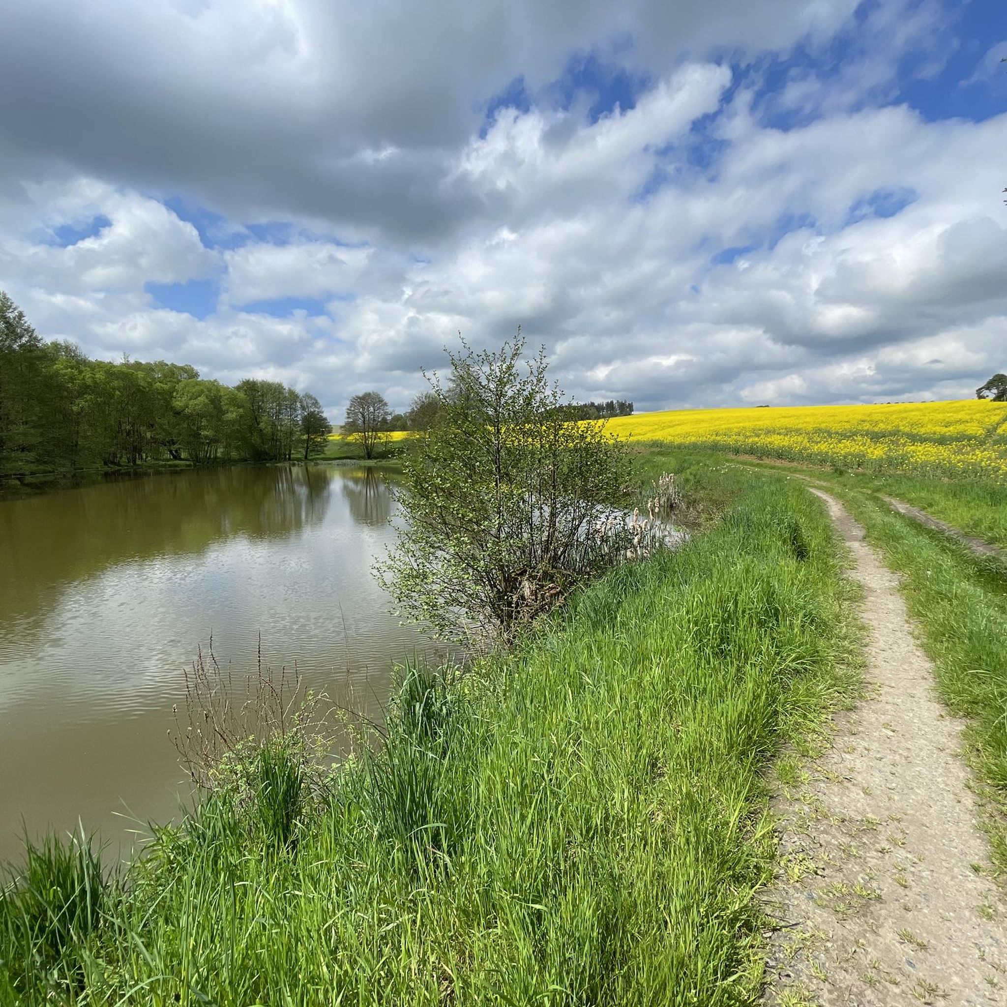
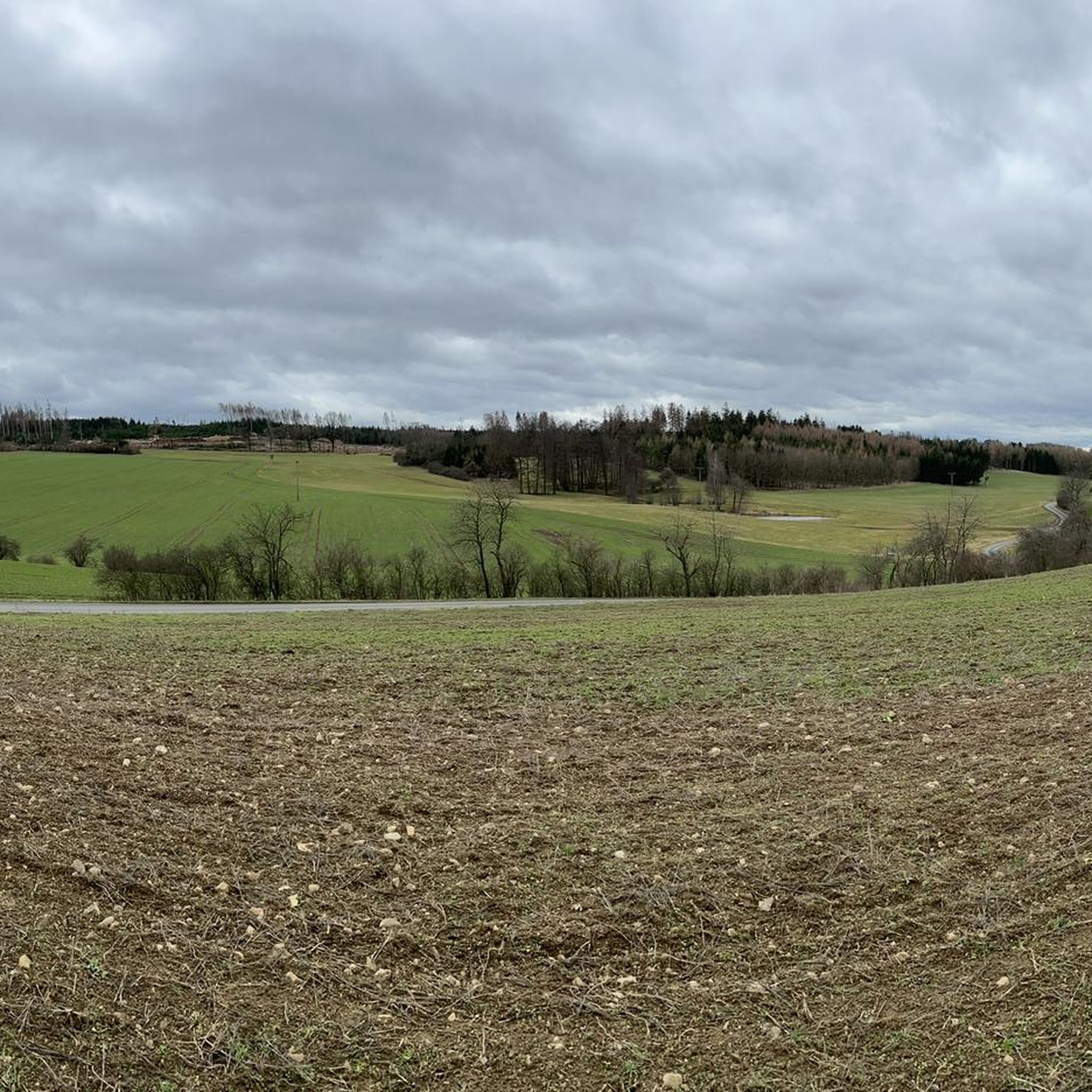
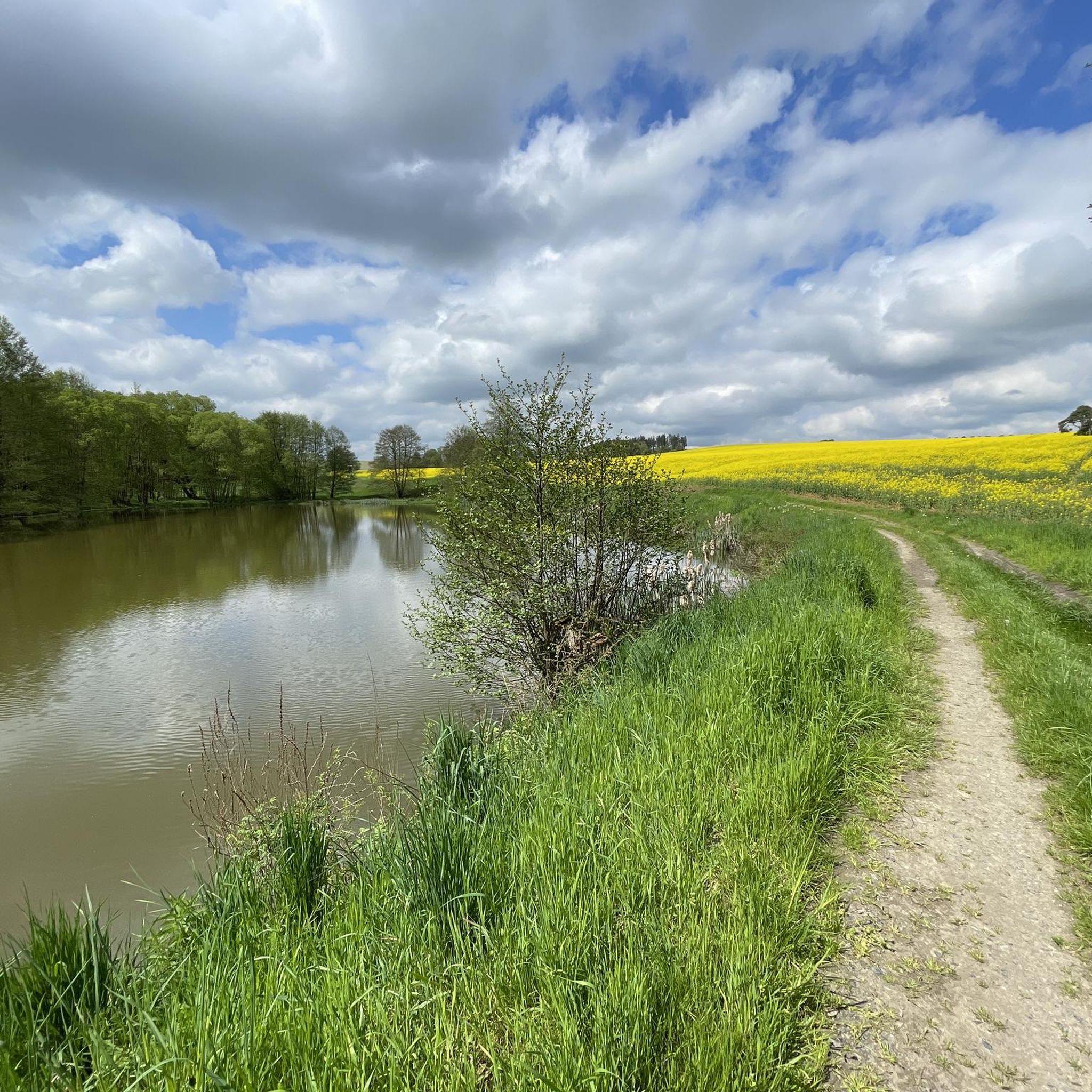
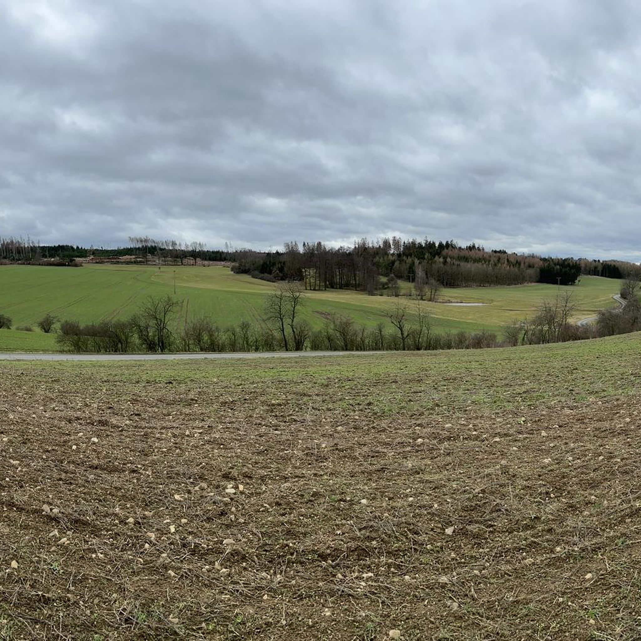
Tips from the Community

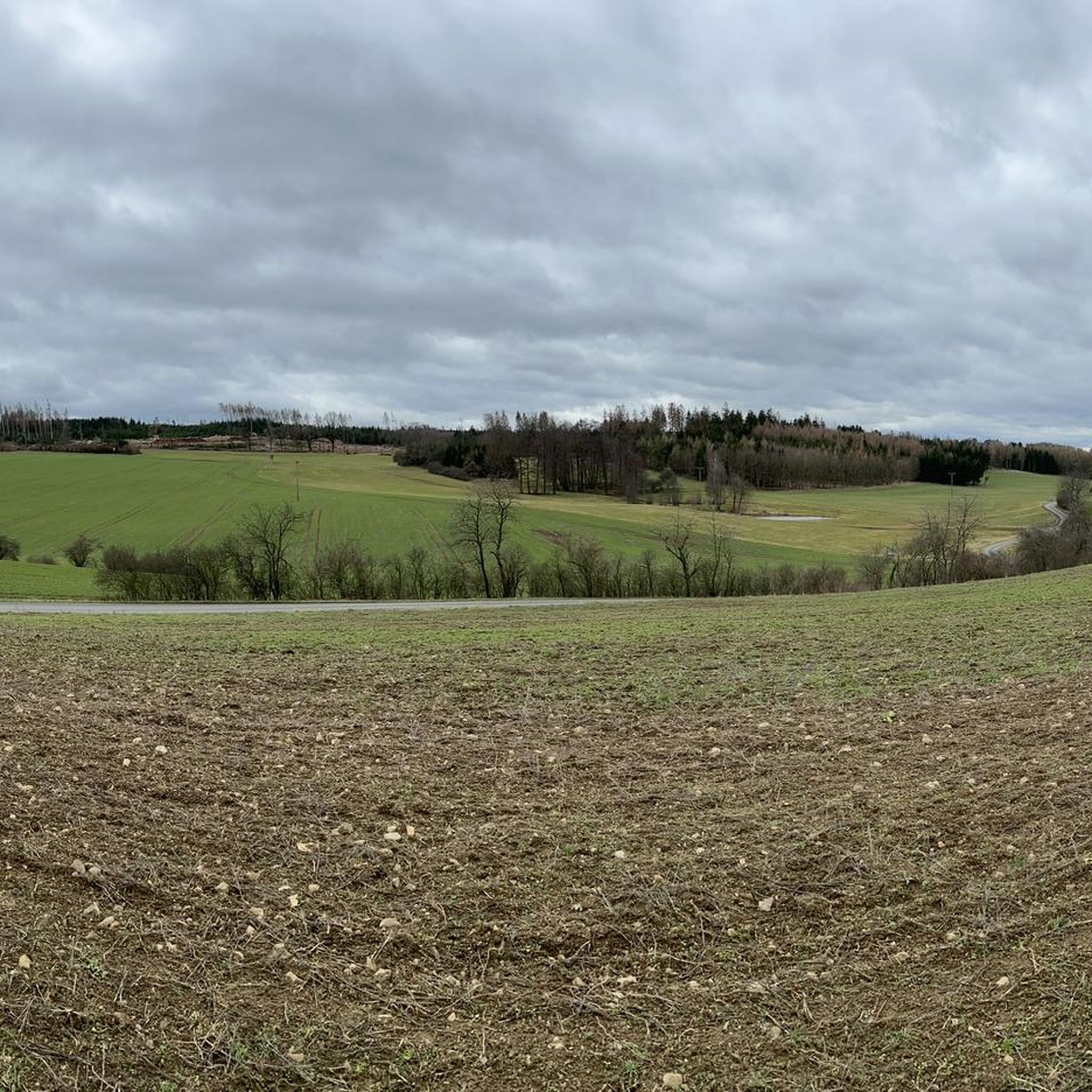
Idyllic place to rest, the view lets your eyes wander further.
0
0

From here you have a great view of Lössau.
0
0

Take your time and drive a few meters further from the summit with the triangulation column to the edge of the forest. Here, you'll find a grassy patch with a wonderful view and plenty of peace and quiet ☺️
0
0

From here you have a good view of the Zeulenroda dam.
0
0

Since February there has also been a summit book on Teufelsberg.
2
0

A great view
0
0

There are all kinds of beautiful places to discover around the Zeulenrodaer Meer... Here we were completely surprised by the great view
1
0

Beautifully situated in a large forest area. You can walk countless kilometers without crossing a road.
0
1
Frequently Asked Questions
What are the most popular elevated points and viewpoints around Kirschkau?
Visitors frequently enjoy the View from Teufelsberg of the Zeulenroda Reservoir, which offers a scenic outlook and a pleasant resting spot. Another highly regarded location is the Königsberg Summit Rest Area and Summit Book, known for its views of Lössau and the surrounding Thuringian Slate Mountains, complete with a summit book for visitors.
Are there family-friendly elevated points or viewpoints in the Kirschkau region?
Yes, the View from Sandberg is considered family-friendly, offering a grassy area with pleasant views suitable for excursions. Additionally, Pfitzigberg (514 m) is also noted as family-friendly and offers great views, historically even serving as a sledding hill in winter.
What kind of natural features can I expect to see from the elevated points around Kirschkau?
The elevated points in the Kirschkau region, situated within the Thuringian Slate Mountains, primarily offer expansive views of dense forests and undulating landscapes. From spots like the View from Teufelsberg of the Zeulenroda Reservoir, you can see bodies of water like the Zeulenroda Reservoir, while others provide panoramic vistas of the rolling hills typical of this low mountain range.
Are there any historical sites among the elevated points near Kirschkau?
Yes, the Sandberg Triangulation Pillar is a notable historical site. This column, built in 1876, was part of the Royal Saxon Triangulation network and marks an altitude reference point. It was restored and made accessible to the public in 1998.
What outdoor activities can I do near the elevated points around Kirschkau?
The region around Kirschkau is excellent for various outdoor activities. You can find numerous cycling routes, including touring bicycle, road cycling, and mountain biking trails. For example, there are moderate to difficult cycling routes around the Zeulenroda Sea, and road cycling tours like the 'Trinity Church Zeulenroda – Karpfenpfeifer Fountain loop from Kirschkau'. For mountain biking, you can explore routes such as the 'Bridge Over the Eichholzgrund – Brückentelefon Bridge loop from Göschitz'. You can find more details on these activities in the respective guides: Cycling around Kirschkau, Road Cycling Routes around Kirschkau, and MTB Trails around Kirschkau.
What is the best time to visit the Kirschkau region for hiking and views?
The Thuringian Slate Mountains, with their dense forests and undulating landscapes, offer scenic hiking opportunities throughout much of the year. While specific data on the 'best' time isn't provided, the region's charm lies in its natural beauty, suggesting pleasant conditions from spring through autumn. Winter can also offer unique experiences, especially at locations like Pfitzigberg, which was historically used as a sledding hill.
What do visitors enjoy most about the elevated points and viewpoints in Kirschkau?
Visitors particularly appreciate the tranquil natural surroundings and the expansive, beautiful views. Many highlights, such as the View from Teufelsberg of the Zeulenroda Reservoir, are praised for being excellent resting places with great outlooks. The effort to reach these spots is often described as 'worth every step' for the rewarding scenery.
Are there specific hiking trails near the elevated points around Kirschkau?
While specific hiking trails directly to each elevated point are not detailed, the region is interwoven with themed routes and guided hikes. The nearby cycling and MTB routes also often follow paths suitable for hiking. The Königsberg Summit Rest Area, for instance, serves as a destination for hikers, implying accessible trails leading to it.
What is the general elevation of the Kirschkau region?
Kirschkau itself is situated at an elevation of approximately 475 to 478 meters (1,558 ft). The broader Thuringian Slate Mountains region, where Kirschkau is located, features mountains that can reach heights of almost 800 meters, offering various elevated viewpoints.
What kind of terrain can I expect on hikes around Kirschkau's elevated points?
The Thuringian Slate Mountains are characterized by gentle, rolling hills and dense forests. Hikers can expect trails with varying difficulty levels, from easy walks to more moderate routes, often leading through wooded areas and past reservoirs. The terrain is generally undulating rather than featuring rugged, alpine-style peaks.
Are there any unique features at the Königsberg Summit Rest Area?
Yes, the Königsberg Summit Rest Area and Summit Book is a thoughtfully designed spot. It features a dedicated rest area and a summit book where visitors can leave their mark. It's described as a place where you can find 'everything you need for the hike, from the summit book, to paving stones or a schnapps,' indicating a welcoming and well-equipped stop for hikers.
Can I find circular hiking routes near Kirschkau?
While specific circular hiking routes are not explicitly listed, the presence of numerous cycling and MTB loops in the area suggests that many trails are designed for circular exploration. For example, the 'Zeulenroda Beach – Zeulenroda Sea loop' cycling routes indicate a network of paths that can often be adapted for hiking, allowing for varied circular tours through the forested landscape.
Most popular routes around Kirschkau
Most popular attractions around Kirschkau

Get inspired with the komoot mobile app


Explore more
See even more amazing summits around Kirschkau with these guides:
