The best road cycling routes in the Laguna Mountains
4.6
(187)
2,543
riders
39
rides
Road cycling in the Laguna Mountains offers diverse landscapes, challenging routes, and notable natural features within eastern San Diego County, California. The region features rugged mountains, extensive forests, and scenic vistas, contrasting with surrounding deserts. Cyclists encounter significant elevation gains and varied terrain, with elevations ranging from approximately 3,000 feet to 6,378 feet. The area is characterized by pine-oak woodlands, chaparral, and prominent lakes.
Best road cycling routes in the Laguna Mountains
- The most popular road cycling route is Lyons Valley loop, a 41.4 miles (66.6 km) trail that takes 3 hours 29 minutes to complete. This challenging route features significant elevation gain and scenic views around Barrett Lake.
- Another top favourite among local road cyclists is Lake Cuyamaca/Mt. Laguna loop, a difficult 45.6 miles (73.3 km) path. This loop within Cuyamaca Rancho State Park offers diverse scenery and over 4,000 feet of climbing.
- Local road cyclists also love the Kitchen Creek loop, a 31.8 miles (51.2 km) trail leading through a marvelous cycling back road, often completed in about 2 hours 48 minutes. This route includes steep ramps and offers amazing views.
- Road cycling in the Laguna Mountains is defined by rugged mountains, extensive forests, and scenic vistas, including pine-oak woodlands and prominent lakes. The network offers options for easy, moderate, and difficult ability levels.
- The routes in Laguna Mountains are highly rated by the komoot community with an average score of 4.9 stars from around 50 reviews. More than 990 road cyclists have used komoot to explore Laguna Mountains's varied terrain.
Last updated: October 10, 2026
4.8
(5)
175
riders
66.6km
03:30
1,200m
1,200m
Hard road ride. Very good fitness required. Mostly well-paved surfaces and easy to ride.
5.0
(2)
73
riders
73.3km
03:54
1,250m
1,250m
Hard road ride. Very good fitness required. Mostly well-paved surfaces and easy to ride.

24
riders
51.2km
02:49
1,100m
1,100m
Hard road ride. Very good fitness required. Mostly well-paved surfaces and easy to ride.
7
riders
27.3km
01:39
690m
690m
Moderate road ride. Good fitness required. Mostly well-paved surfaces and easy to ride.
4.8
(5)
190
riders
83.2km
04:14
1,410m
1,410m
Hard road ride. Very good fitness required. Mostly well-paved surfaces and easy to ride.
5.0
(2)
46
riders
122km
06:32
2,170m
2,170m
Hard road ride. Very good fitness required. Mostly well-paved surfaces and easy to ride.
5.0
(1)
41
riders
130km
06:52
2,290m
2,290m
Hard road ride. Very good fitness required. Mostly well-paved surfaces and easy to ride.
38
riders
54.9km
02:30
570m
570m
Moderate road ride. Good fitness required. Mostly well-paved surfaces and easy to ride.
26
riders
31.1km
01:24
290m
290m
Easy road ride. Great for any fitness level. Mostly well-paved surfaces and easy to ride.
4.9
(9)
16
riders
Moderate road ride. Good fitness required. Mostly well-paved surfaces and easy to ride.
Get access to more routes and recommendations from other explorers.
Already have an account?
Our route recommendations are based on thousands of hikes, rides, and runs completed by other people on komoot.
Start today with a free account
Your next adventure awaits.
Popular around Laguna Mountains




Tips from the Community


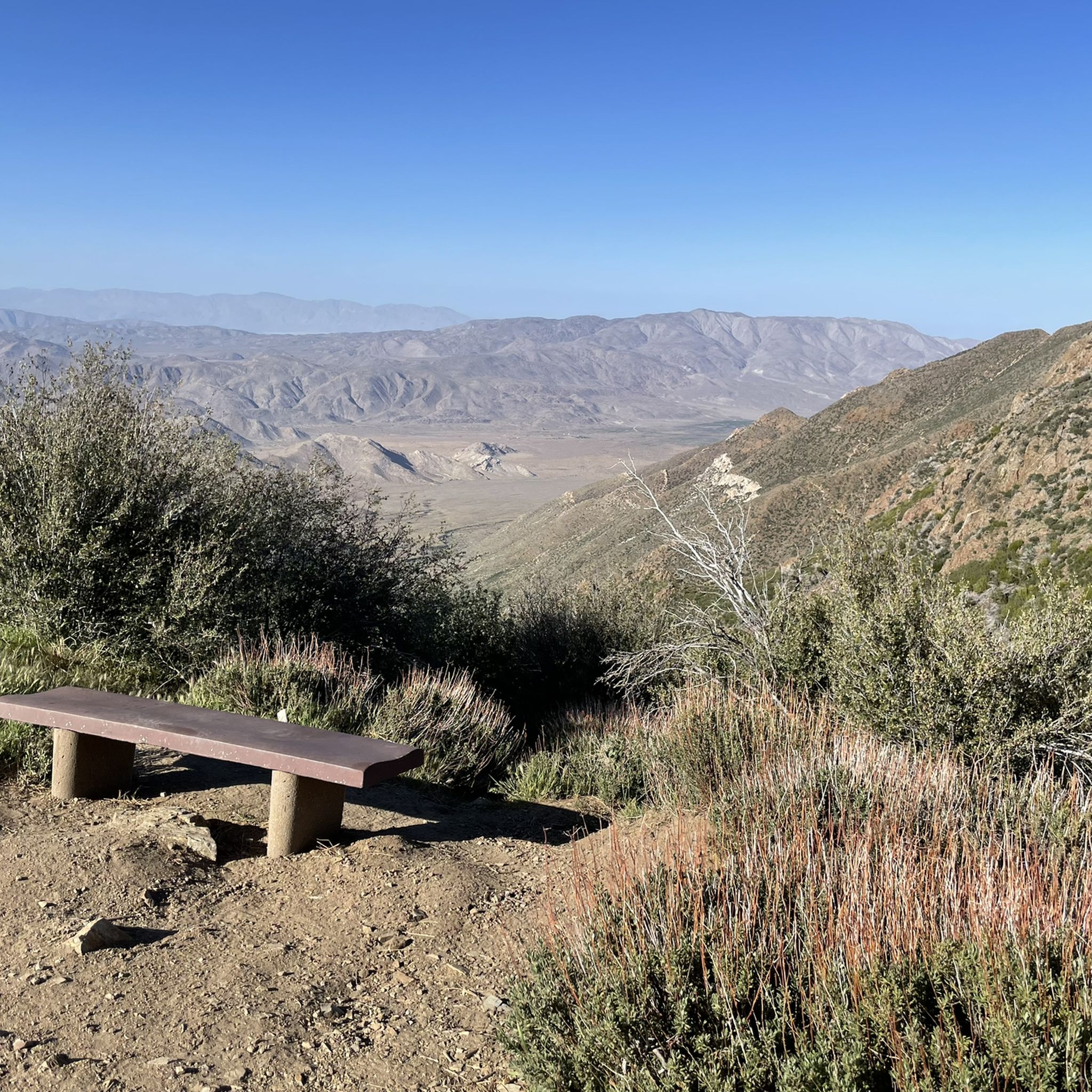
A quick and easy stop with big views for minimal effort. Inspiration Point sits right off Highway 79, just south of Julian. From the overlook, you get sweeping views over the desert below and the distant peaks beyond—especially dramatic in the late afternoon light.
0
0

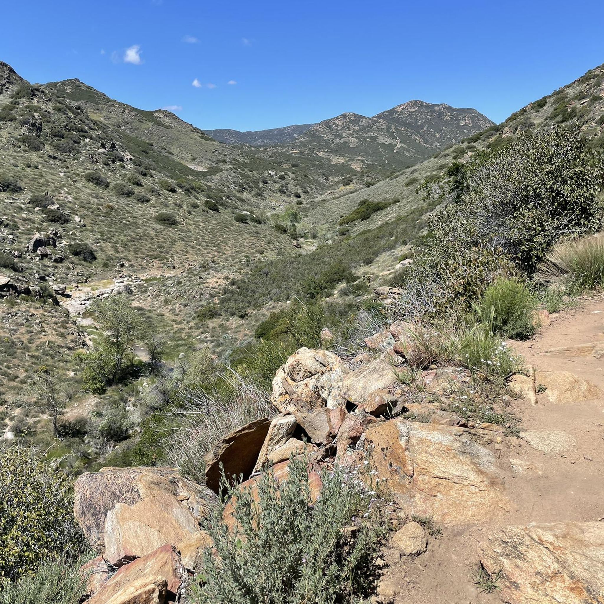
The Sweetwater River is a small year-round stream that flows 55 miles from the Cuyamaca Mountains to the San Diego Bay.
1
0

The Steele Canyon Bridge, also known as the Sweetwater River Bridge, is a beautiful landmark crossing the Sweetwater River. It is on the National Register of Historic places, and is no longer used for vehicles but is a great hiking, running or biking spot.
0
0

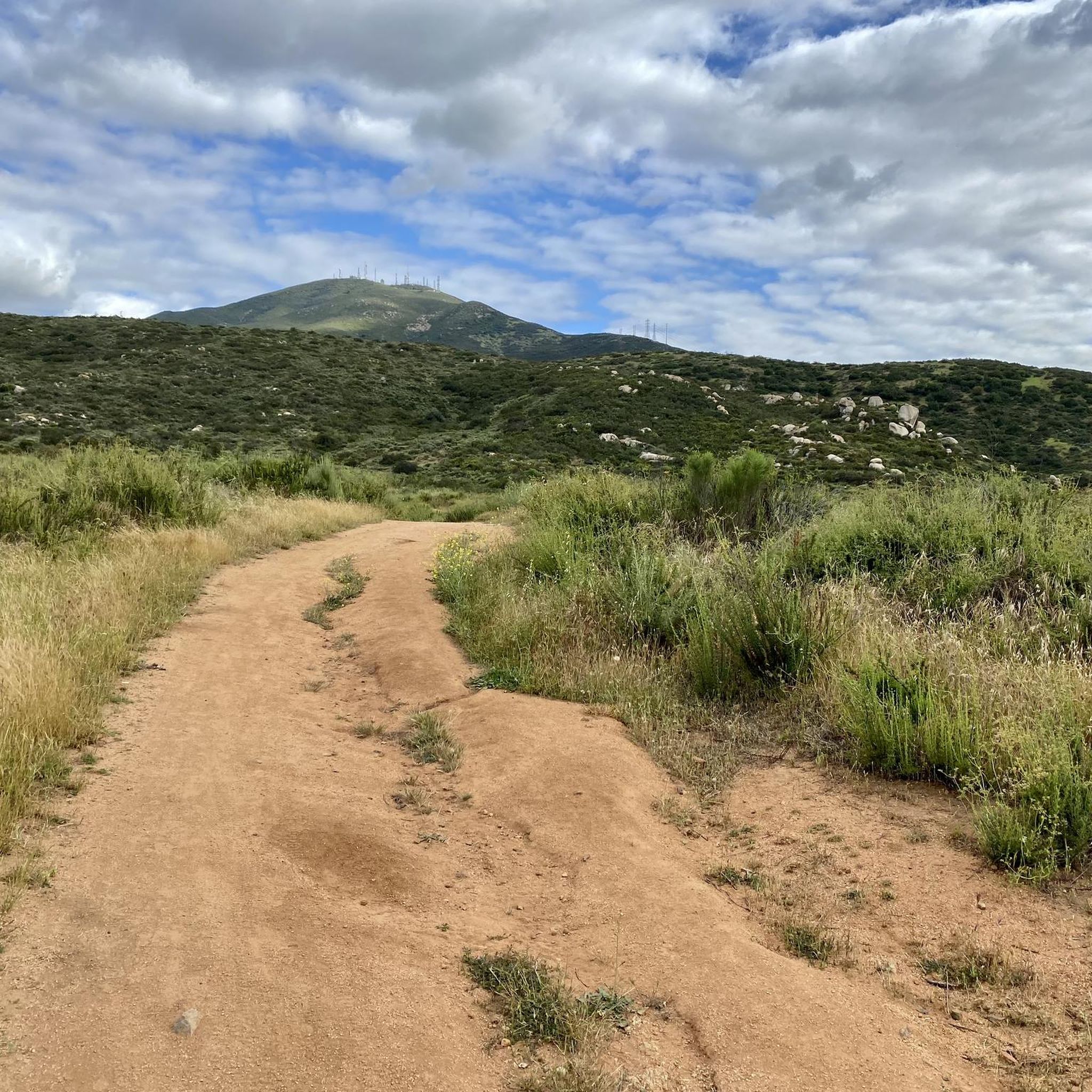
Hollenbeck Canyon Wildlife Area provides a 6,100-acre wildlife corridor between Otay Mountain and the Jamul Mountains. This mainly includes coastal sage scrub, chaparral, oak woodlands, riparian forests, freshwater marshes, and grasslands. The height range hovers between a low of 750' to 2,100'.
0
0

The Sweetwater River flows from Loveland Dam passing through Lake Emma, where the river bends west and runs parallel to Dehesa Road. The lake is fenced off and access is limited. At the western end of the lake is a golf club.
0
0
Laguna Summit is a prominent mountain pass along Sunrise Highway (State Route 79). As one of the highest points along this scenic route, it offers panoramic views of the surrounding landscapes, including the Anza-Borrego Desert to the east and the Pacific Ocean to the west.
0
0
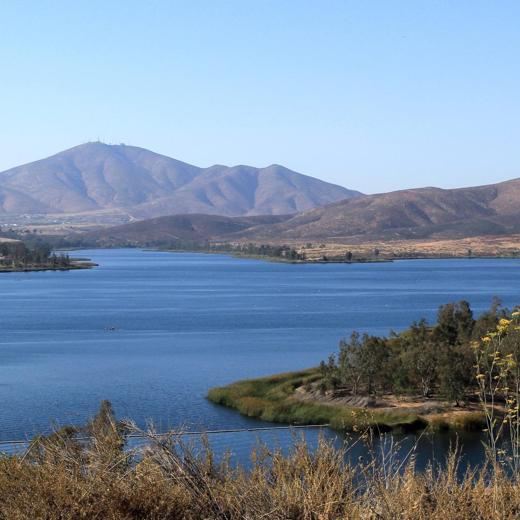
Lake Cuyamaca is a picturesque 110-acre reservoir nestled in the Cuyamaca Mountains. Created in the 1880s to supply water to the city of San Diego, it now serves as a recreational haven for fishing, boating, and picnicking.
0
0
Frequently Asked Questions
How many road cycling routes are available in the Laguna Mountains?
There are over 40 road cycling routes in the Laguna Mountains, catering to various skill levels. You'll find 3 easy routes, 23 moderate routes, and 14 difficult routes, ensuring options for every cyclist.
What kind of terrain can I expect when road cycling in the Laguna Mountains?
The Laguna Mountains offer diverse terrain characterized by rugged mountains, extensive forests, and scenic vistas. Cyclists will encounter significant elevation gains, with routes ranging from approximately 3,000 feet to 6,378 feet at Cuyapaipe Peak. The area features pine-oak woodlands, chaparral, and prominent lakes, providing varied landscapes throughout your ride.
Are there any moderate road cycling routes suitable for cyclists with good fitness?
Yes, the Laguna Mountains offer several moderate routes ideal for cyclists with good fitness. For example, the Wooded Hill Loop is a moderate 27.3 km ride with a 694-meter elevation gain. Another great option is the Inspiration Point – Lake Cuyamaca loop from Boulder Creek, which covers 35.4 km with a 607-meter ascent.
What are some of the most challenging road cycling routes in the Laguna Mountains?
For experienced cyclists seeking a challenge, the Laguna Mountains have several difficult routes. The Lyons Valley loop is a demanding 66.6 km route with over 1200 meters of elevation gain. Another tough option is the Kitchen Creek loop, a 51.2 km trail known for its steep ramps and amazing views.
What natural features and landmarks can I see along the road cycling routes?
The Laguna Mountains are rich in natural beauty and offer several notable landmarks. You can enjoy views from Storm Canyon Overlook or Kwaaymii Point. The region also features prominent lakes like Lake Cuyamaca and the Big Laguna Lake, which can display abundant wildflowers in spring. For a unique natural monument, consider visiting Cedar Creek Falls.
What do other road cyclists say about their experience in the Laguna Mountains?
The road cycling routes in the Laguna Mountains are highly rated by the komoot community, with an average score of 4.9 stars from nearly 50 reviews. Cyclists often praise the diverse scenery, challenging climbs, and the sense of accomplishment after tackling the significant elevation gains. Many appreciate the transition from open mountain views to high mountain meadows and thick pine forests.
Are there any long-distance road cycling routes available?
Yes, the Laguna Mountains offer several long-distance road cycling routes for endurance riders. The Storm Canyon Overlook – Kwaaymii Point loop from Julian is a challenging 122.4 km route with over 2100 meters of climbing. Another extensive option is the Storm Canyon Overlook – Kwaaymii Point loop from Japatul Valley Road Park And Ride, spanning 130.4 km with over 2200 meters of elevation gain.
What is the best time of year for road cycling in the Laguna Mountains?
The Laguna Mountains experience cooler temperatures and higher precipitation than lower elevations, supporting a Mediterranean climate. While specific best times can vary, the region's relatively high altitude means it receives the highest snowfall in San Diego County during winter. For road cycling, spring and fall generally offer pleasant temperatures, while summer can be warm but still enjoyable at higher elevations. Always check the local weather forecast before heading out.
Are there any routes that incorporate the popular Sunrise Highway?
Sunrise Highway is a popular and gently inclined climb frequently incorporated into various loops in the Laguna Mountains. It offers spectacular views as cyclists transition from open mountain vistas to high mountain meadows and thick pine forests. Many of the longer loops in the region will utilize sections of this scenic road.
Can I find any circular road cycling routes in the Laguna Mountains?
Yes, many of the road cycling routes in the Laguna Mountains are designed as loops, allowing you to start and end at the same point. Examples include the Lake Cuyamaca/Mt. Laguna loop, the Skyline Truck Descent – Sweetwater River loop from Matkwatay, and the Lake Cuyamaca – Chambers Park Campground loop from Pine Hills.
Are there any specific viewpoints or overlooks worth visiting during a ride?
Absolutely. The Laguna Mountains are known for their scenic viewpoints. The Desert Overlook, located off Sunrise Highway, provides a dramatic view of the Anza-Borrego Desert. Additionally, Storm Canyon Overlook and Kwaaymii Point offer stunning vistas and are often incorporated into longer routes.
Most popular routes in the Laguna Mountains
Most popular attractions in the Laguna Mountains

Get inspired with the komoot mobile app


Explore more
Browse the best Road cycling routes in other regions.
