The best gravel rides in the Laguna Mountains
3.0
(8)
83
riders
11
rides
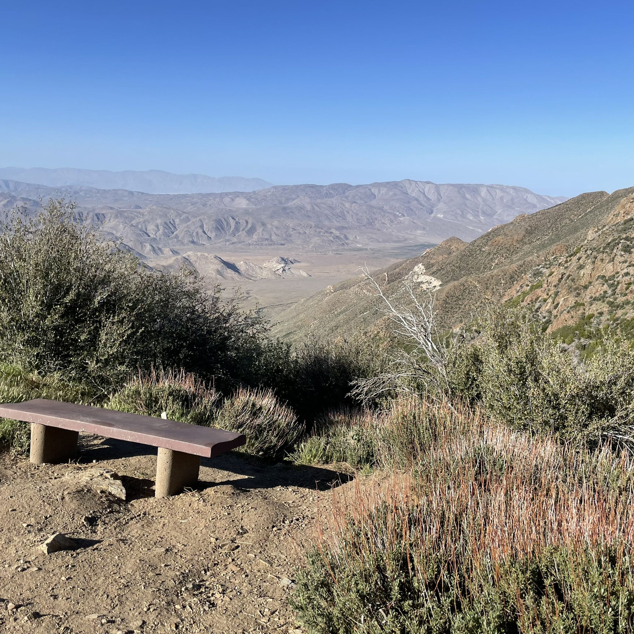
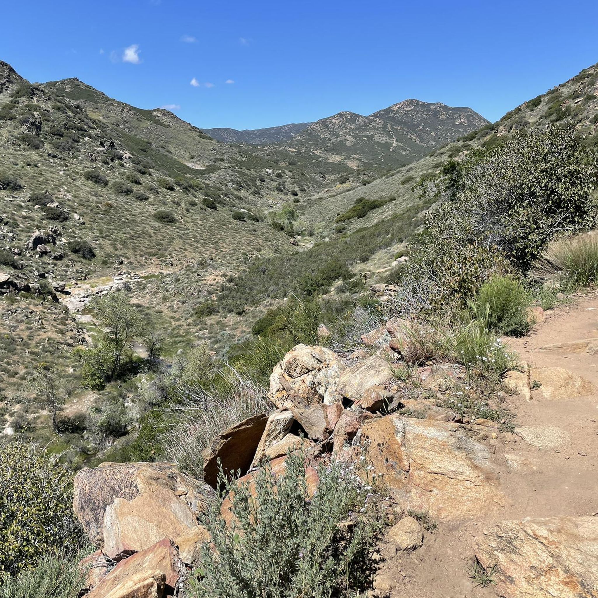
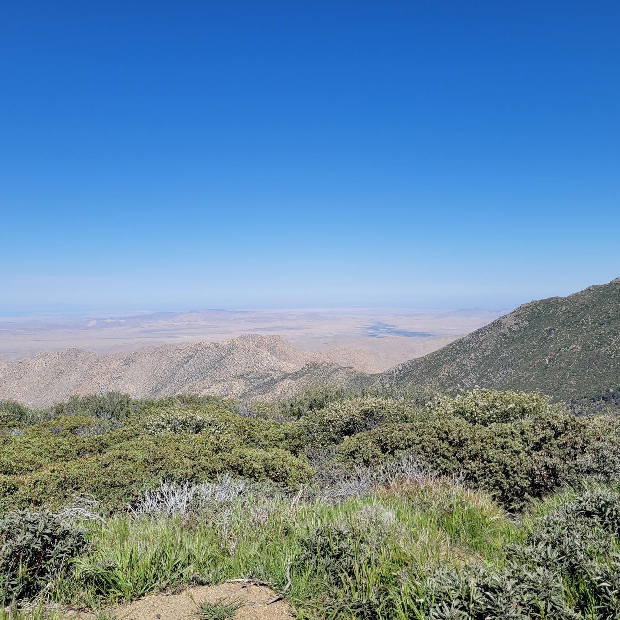
Gravel biking in the Laguna Mountains offers diverse landscapes, extensive trail systems, and unique natural features. The region rises to elevations around 6,000 feet, featuring forested areas of pine and oak alongside open meadows. Rugged ridges, steep peaks, and deeply incised canyons characterize the topography, providing a varied terrain for gravel cyclists. This area contrasts with the adjacent Colorado Desert, offering panoramic views from many points.
Best gravel bike trails in the Laguna Mountains
- The most popular gravel bike trail is Upper Otay Reservoir Dam – Tiki Hut loop from Rancho San Diego, a 23.2 miles (37.4 km) trail that takes 3 hours 42 minutes to complete. This difficult route features significant elevation changes across varied terrain.
- Another top favourite among local gravel bikers is Sweetwater Reservoir – Tiki Hut loop from Rancho San Diego, a moderate 18.0 miles (29.0 km) path. This route offers a mix of open areas and scenic views, often winding through natural landscapes.
- Local gravel bikers also love the Meadow Spur Trail – Water of the Woods loop from Meadows Trailhead, a 10.8 miles (17.4 km) trail leading through meadows and forested sections, often completed in about 1 hour 40 minutes.
- Gravel biking in the Laguna Mountains is defined by forested areas of pine and oak, open meadows, and rugged ridges. The network offers options for different ability levels, from moderate paths to challenging climbs.
- The routes in Laguna Mountains are highly rated by the komoot community with an average score of 2.2 stars from 4 reviews. More than 40 gravel bikers have used komoot to explore Laguna Mountains's varied terrain.
Last updated: October 1, 2026
4.0
(1)
9
riders
37.6km
03:16
570m
570m
Hard gravel ride. Very good fitness required. Mostly paved surfaces. Suitable for all skill levels.
4.0
(1)
8
riders
30.5km
02:35
530m
530m
Hard gravel ride. Very good fitness required. Mostly paved surfaces. Suitable for all skill levels.

2.0
(3)
6
riders
28.4km
02:09
340m
340m
Moderate gravel ride. Good fitness required. Mostly paved surfaces. Suitable for all skill levels.
6
riders
39.0km
03:29
590m
590m
Hard gravel ride. Very good fitness required. Mostly paved surfaces. Suitable for all skill levels.
5
riders
21.3km
01:50
310m
310m
Moderate gravel ride. Good fitness required. Mostly paved surfaces. Suitable for all skill levels.
Get access to more routes and recommendations from other explorers.
Already have an account?
Our route recommendations are based on thousands of hikes, rides, and runs completed by other people on komoot.
Start today with a free account
Your next adventure awaits.
Popular around Laguna Mountains




Tips from the Community


A quiet pull-off spot just off the highway, surrounded by tall pines and cooler air. The pond itself is small but scenic—a nice excuse to stop, stretch your legs, and enjoy a quick breather before continuing the climb. Not much traffic back here, so it feels like a peaceful break from the road.
0
0

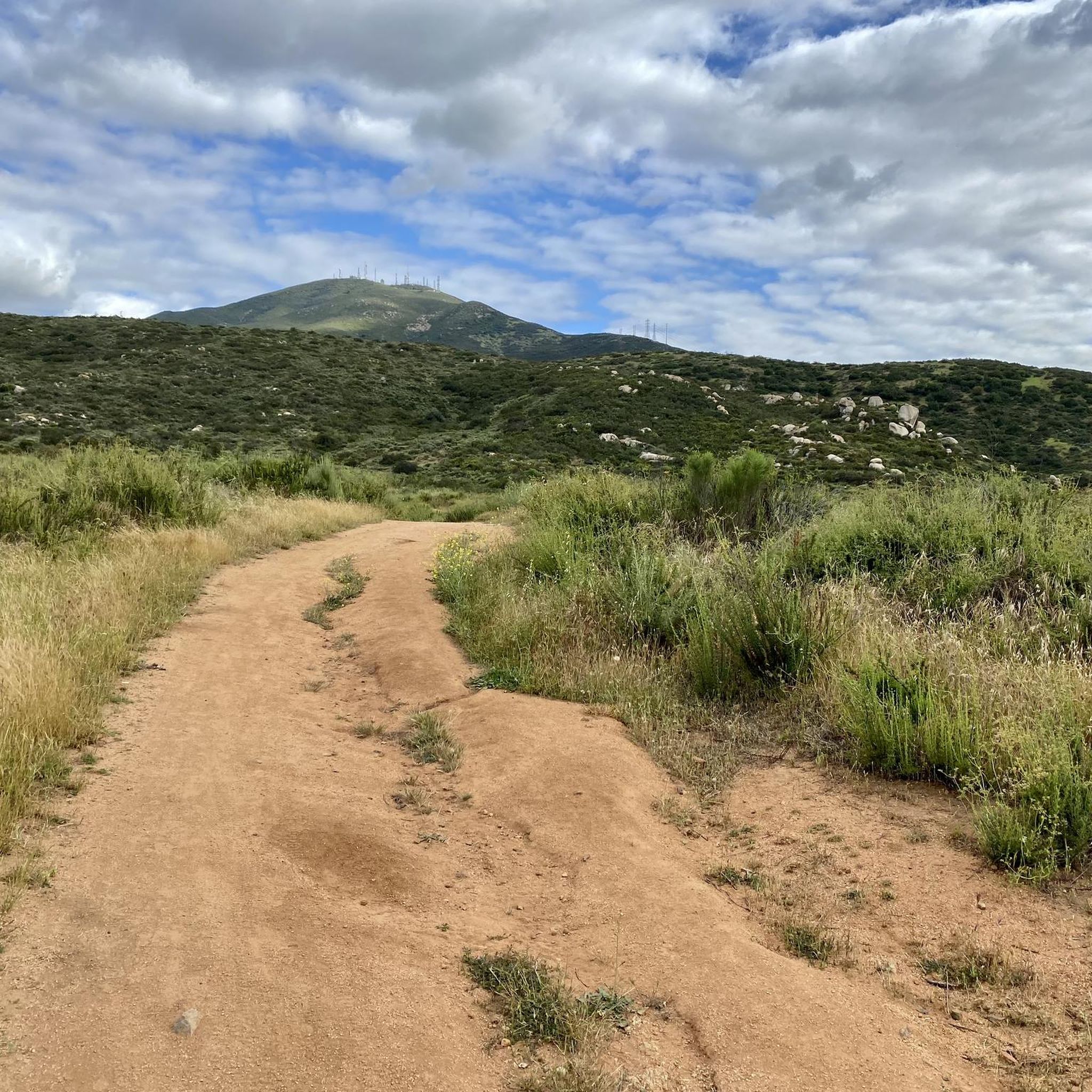
The paths around Sweetwater Reservoir are primarily well-worn dirt, with most junctions clearly signed, though some of the less frequented routes can become overgrown. As you near San Miguel Mountain, the terrain becomes increasingly rugged and challenging, while open views of the reservoir and surrounding hills remain a constant backdrop.
1
0
The Sweetwater River Trail is an 8-mile loop trail that runs along both sides of the river. The trail has some elevation gain, but this gives you nice views of the nearby mountains.
0
0

The Steele Canyon Bridge, also known as the Sweetwater River Bridge, is a beautiful landmark crossing the Sweetwater River. It is on the National Register of Historic places, and is no longer used for vehicles but is a great hiking, running or biking spot.
0
0

This area is the northernmost part of Otay Ranch and the southern part of the San Diego National Wildlife Refuge. The scenic views of rolling hills and well-maintained trails make it a highly popular biking area.
0
0

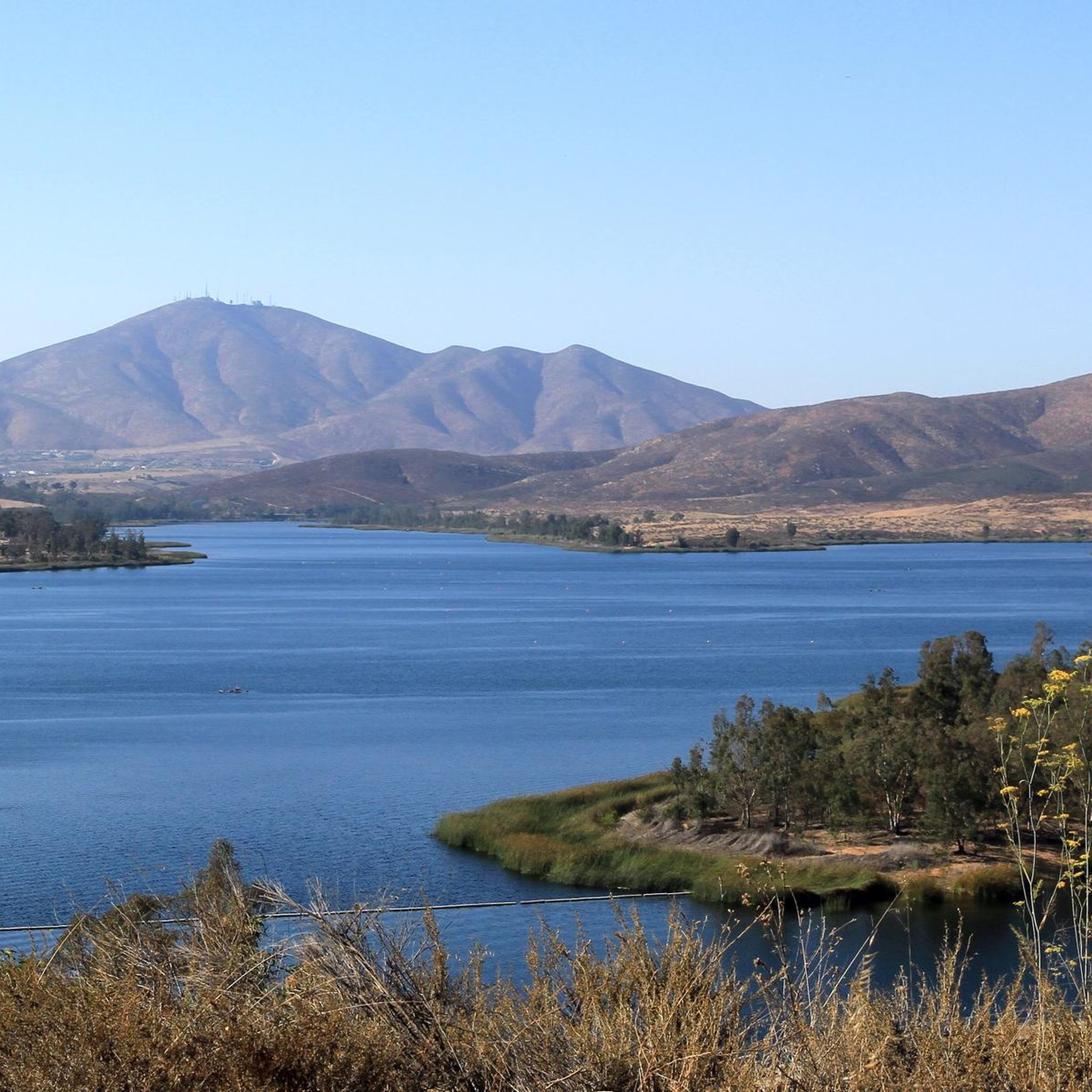
The Upper Otay Reservoir is a freshwater reservoir in San Diego County. It is surrounded by picturesque landscapes and offers opportunities for fishing, boating, bird watching, and different recreational activities like biking. Besides that, it is a vital component of the region's water supply system.
0
0
Frequently Asked Questions
How many gravel bike trails are available in the Laguna Mountains?
The Laguna Mountains offer 13 gravel bike routes, providing diverse options for cyclists. These trails range from moderate to difficult, catering to various skill levels.
What kind of terrain can I expect on gravel bike trails in the Laguna Mountains?
You can expect a varied terrain, from scenic singletrack through conifer and oak forests to challenging climbs with rocky and steep unpaved sections. The area provides a mix of cross-country and downhill/flow trails, often contrasting forested areas with views of the adjacent Colorado Desert.
Are there any easy or beginner-friendly gravel bike trails in the Laguna Mountains?
While many routes offer a challenge, there are moderate options suitable for those looking for a less strenuous ride. For example, the Meadow Spur Trail – Water of the Woods loop from Meadows Trailhead is a moderate 10.8-mile (17.4 km) trail that leads through meadows and forested sections.
What are some challenging gravel bike trails for experienced riders in the Laguna Mountains?
Experienced riders seeking a challenge will find several difficult routes. The Upper Otay Reservoir Dam – Tiki Hut loop from Rancho San Diego is a difficult 23.2-mile (37.4 km) trail with significant elevation changes. Another demanding option is the Lake Cuyamaca – Camp Hual-Cu-Cuish Ruins loop from Alpine, which covers nearly 100 km with over 2,100 meters of elevation gain.
What natural features or viewpoints can I see along the gravel bike trails?
The Laguna Mountains offer stunning natural beauty. You can enjoy panoramic views of the Colorado Desert from points like Storm Canyon Overlook and Kwaaymii Point. Seasonal alpine lakes, such as Big Laguna Lake, add to the scenic beauty, especially when wildflowers bloom. You might also encounter Cedar Creek Falls on some routes.
Are there any family-friendly gravel biking options in the Laguna Mountains?
While many trails are moderate to difficult, some sections of the extensive trail network, particularly those through meadows and less steep forested areas, can be suitable for families. Look for routes with lower elevation gain and shorter distances, such as the Meadow Spur Trail – Water of the Woods loop, which is a moderate 10.8-mile (17.4 km) option.
Can I bring my dog on the gravel bike trails in the Laguna Mountains?
The Laguna Mountains are part of the Cleveland National Forest. Generally, dogs are permitted on trails within the National Forest, but they must be kept on a leash. Always check specific trail regulations and signage for any restrictions before heading out with your dog.
What is the best time of year to go gravel biking in the Laguna Mountains?
The Laguna Mountains offer a cooler mountain getaway compared to the desert. Spring (April and May) is particularly beautiful with wildflowers. Fall also provides pleasant temperatures. Summers can be warm, while winters can bring snow at higher elevations, so conditions vary significantly by season. Always check the weather forecast before your ride.
Where can I park for gravel biking in the Laguna Mountains?
Several parking areas along Sunrise Highway offer convenient trail access. The Laguna Campground, at 6,000 feet elevation, also serves as a base camp with facilities and parking options for accessing the trail network.
Do I need a permit for gravel biking in the Laguna Mountains?
Some areas within the Cleveland National Forest may require a Adventure Pass for parking or day use. It's advisable to check the specific requirements for the trailhead you plan to use. Information on purchasing an Adventure Pass can often be found at local ranger stations or visitor centers.
Are there any loop trails for gravel biking in the Laguna Mountains?
Yes, many of the gravel bike routes in the Laguna Mountains are designed as loops, allowing you to start and end at the same point. Examples include the Sweetwater Reservoir – Tiki Hut loop from Rancho San Diego and the Meadow Spur Trail – Water of the Woods loop from Meadows Trailhead.
What do other gravel bikers enjoy most about the Laguna Mountains?
The area is highly rated by the komoot community, with an average score of 2.2 stars. Reviewers often praise the diverse landscapes, from forested areas to open meadows, and the challenging yet rewarding terrain that offers expansive views, especially contrasting the mountains with the desert.
Most popular routes in the Laguna Mountains
Most popular attractions in the Laguna Mountains

Get inspired with the komoot mobile app


Explore more
Browse the best Gravel rides in other regions.
