The best gravel rides around Hornos
13
riders
2
rides
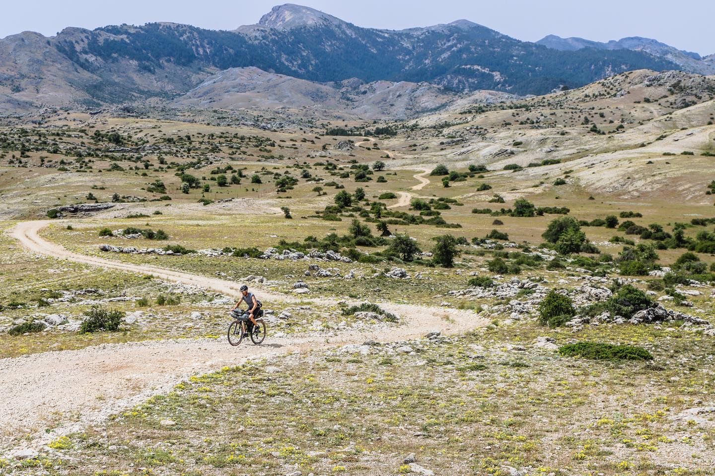
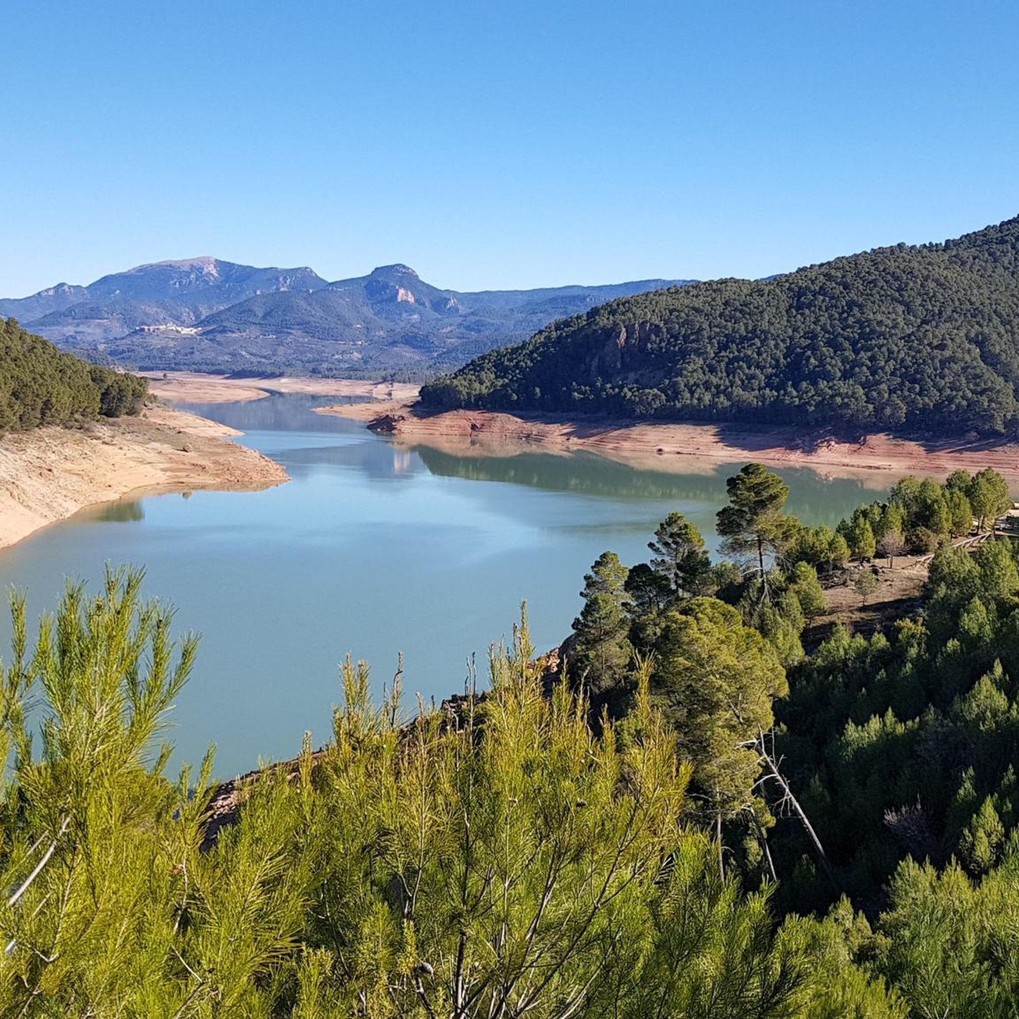
Gravel biking around Hornos offers routes through the mountainous terrain of the Sierra de Segura. The region is characterized by dense pine forests, river valleys, and elevated passes, providing varied landscapes for cycling. Riders can expect a mix of ascents and descents across unpaved roads and trails. This area provides opportunities to explore natural springs and shelters within a rugged environment.
Best gravel bike trails around Hornos
- The most popular gravel bike trail is Source of the Segura River loop…
Last updated: July 4, 2026
2
riders
19.0km
01:34
400m
400m
Moderate gravel ride. Good fitness required. Mostly paved surfaces. Suitable for all skill levels.
7
riders
60.0km
04:27
1,060m
1,070m
Hard gravel ride. Very good fitness required. Mostly paved surfaces. Suitable for all skill levels.

Sign up for free
3
riders
34.9km
02:40
950m
940m
Hard gravel ride. Very good fitness required. Mostly paved surfaces. Suitable for all skill levels.
1
riders
45.4km
03:16
870m
870m
Hard gravel ride. Very good fitness required. Mostly paved surfaces. Suitable for all skill levels.
Our route recommendations are based on thousands of hikes, rides, and runs completed by other people on komoot.
Start today with a free account
Your next adventure awaits.
Login or Signup
Popular around Hornos

Bikepacking the mountains and deserts of Andalucía
Transhumance in the Sierra de Segura – hiking the GR 144

Wild and free Andalusia – Transandalus through the interior
Mountains and olive groves in the Sierra de Segura – GR 146
A wild experience – Sierra de Cazorla, Segura y Las Villas (GR 247)

A circular high altitude trail – Bosques del Sur (GR 247)
Road Cycling Routes around Hornos
Running Trails around Hornos
Hiking around Hornos
MTB Trails around Hornos
Other adventures around Hornos


Tips from the Community

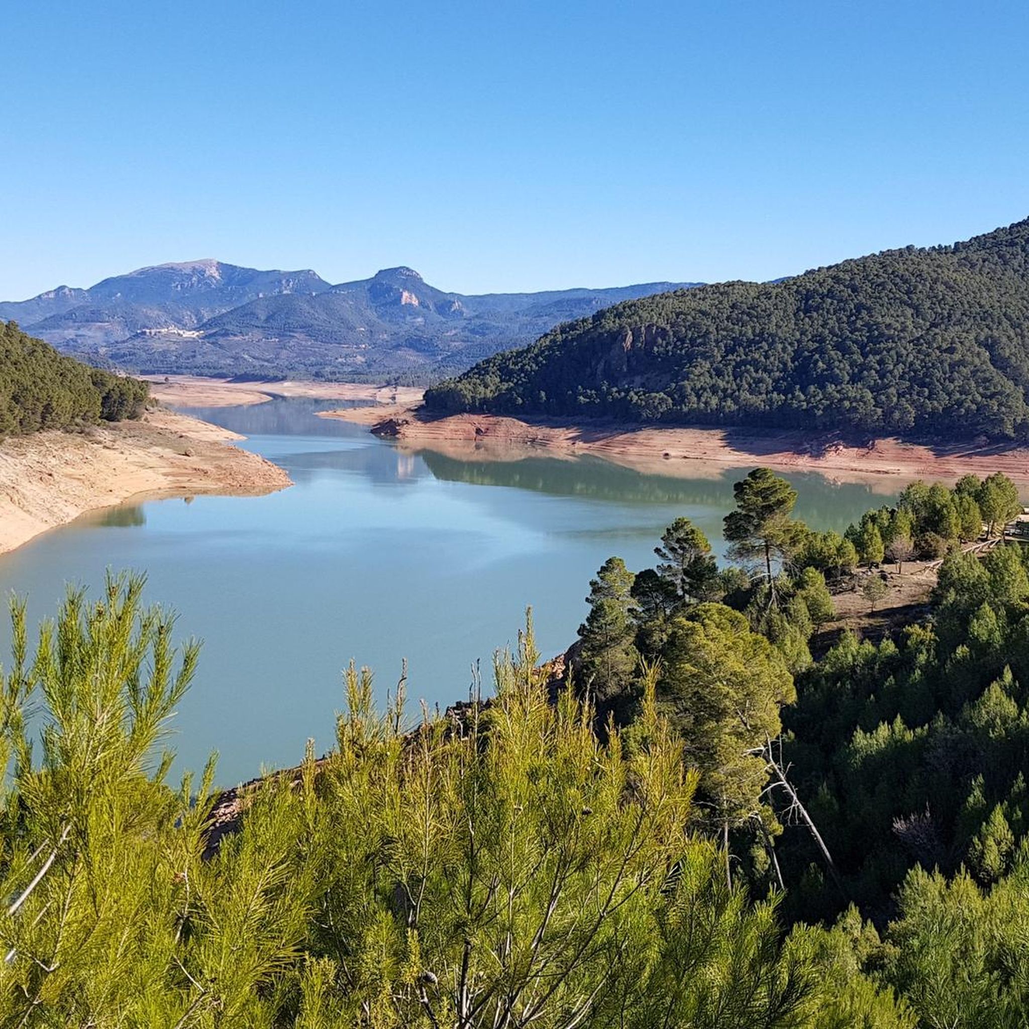
We are facing a dam with a capacity of 530.5 hm3 intended mainly for irrigation, although due to disagreements between administrations, it seems that the finalization of channeling works is still in progress.
1
0


I've seen it closed for a couple of days, maybe for vacation. The times I've eaten there (in August) have been great, not just because of the lamb, which is their specialty.
0
0
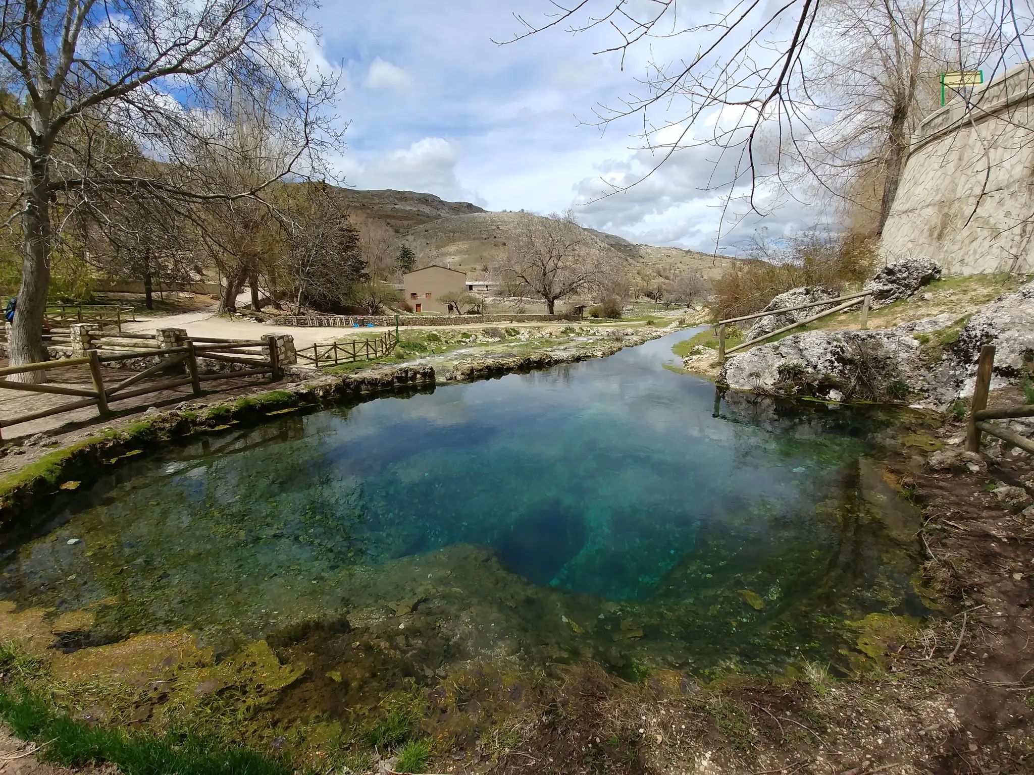
Last year in August (2024) it was brimming with energy and enthusiasm, but this year (2025) it's dry again. There's water, but it doesn't even fill half the pool. The water filters a few meters down, into Fuente Segura de Abajo.
1
0


there is a bakery and small tienda to refuel on food. the little square is cozy to relax a bit
0
0

We owe the innkeepers a great deal of gratitude. We were caught in a hailstorm on March 30, 2022 and arrived at the kiosk completely frozen. The kiosk was closed. But the innkeepers let us in and we were allowed to warm ourselves up by the fire. We are very grateful to them for this and therefore highly recommend this restaurant.
5
0
Frequently Asked Questions
How many gravel bike trails are available around Hornos?
There are at least 3 gravel bike trails documented around Hornos, offering a range of experiences through the mountainous terrain of the Sierra de Segura. These routes are highly rated by the komoot community.
Are there any less strenuous gravel bike routes suitable for beginners in Hornos?
Yes, for those looking for a moderate ride, the Source of the Segura River loop from Pontones is a good option. This 11.8-mile (19.0 km) trail follows the Segura River, providing a scenic journey through the valley without the extreme challenges of other routes.
Where can I find challenging gravel bike routes around Hornos?
Hornos offers several challenging routes for experienced gravel bikers. Consider the Campo del Espino Shelter – Aldea de Don Domingo loop from Pozas del Zumeta, a difficult 36.6-mile (58.9 km) path with significant elevation gain. Another demanding option is the La Toba Spring – Despiernacaballos Pass loop from Camping Garrote Gordo, which spans 36.2 miles (58.3 km) through mountainous landscapes.
Are there any loop trails for gravel biking in Hornos?
Yes, many of the gravel bike routes around Hornos are designed as loops, allowing you to start and finish in the same location. Examples include the Source of the Segura River loop from Pontones and the Campo del Espino Shelter – Aldea de Don Domingo loop from Pozas del Zumeta.
What kind of landscapes can I expect to see while gravel biking in Hornos?
Gravel biking in Hornos takes you through diverse landscapes characteristic of the Sierra de Segura. You'll encounter dense pine forests, follow river valleys, and ascend elevated passes, offering a mix of unpaved roads and trails with varied scenery.
Are there any viewpoints along the gravel bike routes in Hornos?
While specific viewpoints on the gravel routes are not detailed, the mountainous terrain naturally offers many scenic vistas. You can find notable viewpoints in the wider region, such as the Isla Cabeza de la Viña Viewpoint and Risca del Guijarrón, which are popular highlights in the area.
What attractions or natural features can I explore near the gravel bike trails?
The Hornos area is rich in natural beauty. You can explore features like the Charco del Aceite lake or the vast Tranco de Beas Reservoir. The region also features prominent peaks like El Yelmo Summit (1,808 m), offering additional exploration opportunities.
What do other gravel bikers enjoy most about the trails in Hornos?
The gravel biking routes in Hornos are highly rated by the komoot community, with an average score of 5.0 stars. Riders often praise the varied terrain, the challenging mountain passes, and the opportunity to explore natural springs and shelters within a rugged, forested environment.
What is the best time of year for gravel biking in Hornos?
Given the mountainous terrain and dense forests, spring and autumn generally offer the most pleasant conditions for gravel biking in Hornos, with milder temperatures and vibrant scenery. Summers can be hot, and winters may bring colder temperatures and potential for snow at higher elevations.
Are there any gravel bike routes that pass by natural springs or shelters?
Yes, the region is known for its natural springs and shelters. For example, the La Toba Spring – Despiernacaballos Pass loop from Camping Garrote Gordo specifically leads past natural springs. The Banderillas Shelter is also a notable highlight in the nearby peaks.
How long do gravel bike trails around Hornos typically take to complete?
The duration varies significantly by route and difficulty. For instance, the moderate Source of the Segura River loop from Pontones can be completed in about 1 hour 53 minutes, while more difficult routes like the La Toba Spring – Despiernacaballos Pass loop from Camping Garrote Gordo typically take around 4 hours 49 minutes.
Most popular attractions around Hornos

Get inspired with the komoot mobile app


Explore more
Browse the best Gravel rides in other regions.
