The best running trails around Hornos
148
runners
12
runs
Jogging around Hornos offers a challenging experience in a subantarctic environment, characterized by Magellanic moorlands and rugged coastlines where the Pacific and Atlantic Oceans converge. The terrain primarily consists of treeless peat, low-dense grasses, lichen, and mosses, adapted to strong winds and cool temperatures. In more sheltered areas, small wooded regions feature Antarctic beech and other subantarctic tree species. The island's landscape includes gently sloping hills with rounded tops, providing varied elevation for running routes.
Best jogging routes around Hornos
…Last updated: June 24, 2026
3
runners
Hard run. Very good fitness required. Mostly accessible paths. Some sure footedness required.
3
runners
Hard run. Very good fitness required. Sure-footedness, sturdy shoes and alpine experience required.

Sign up for free
1
runners
18.3km
02:04
370m
370m
Alto del Montero Circular Trail is a difficult 11.3-mile (18.3 km) jogging route in Sierras de Cazorla, Segura y Las Villas Natural Park.
22
runners
12.3km
01:46
540m
540m
Hard run. Very good fitness required. Mostly paved surfaces. Suitable for all skill levels.
12
runners
7.88km
00:53
200m
200m
Moderate run. Good fitness required. Mostly paved surfaces. Suitable for all skill levels.
Get access to more routes and recommendations from other explorers.
Sign up for free
Already have an account?
Our route recommendations are based on thousands of hikes, rides, and runs completed by other people on komoot.
Start today with a free account
Your next adventure awaits.
Login or Signup
Popular around Hornos

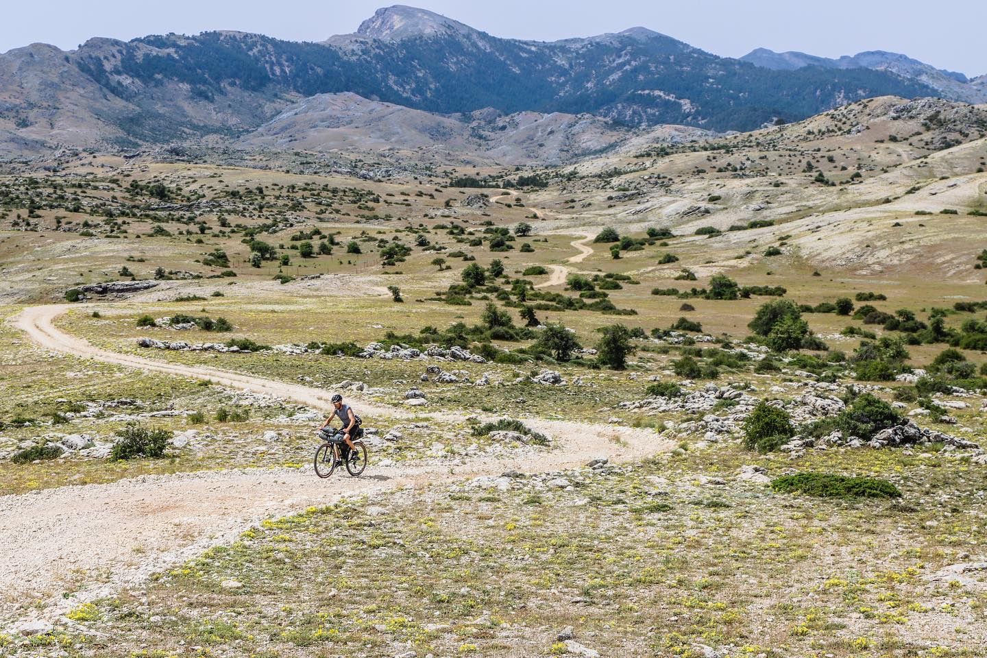
Bikepacking the mountains and deserts of Andalucía
Transhumance in the Sierra de Segura – hiking the GR 144

Wild and free Andalusia – Transandalus through the interior
Mountains and olive groves in the Sierra de Segura – GR 146
A wild experience – Sierra de Cazorla, Segura y Las Villas (GR 247)

A circular high altitude trail – Bosques del Sur (GR 247)
Road Cycling Routes around Hornos
Hiking around Hornos
MTB Trails around Hornos
Cycling around Hornos
Other adventures around Hornos


Tips from the Community

The Cueva del Agua in Santiago-Pontones is an impressive karst formation located in the Sierra de Segura, in Jaén. This cave is known for its natural beauty and spectacular surroundings, which include waterfalls and rich vegetation.
5
0

It is a charming district that belongs to the Segura de la Sierra region. It is located at the foot of Mount El Yelmo, a well-known place for hiking in the middle of nature.
0
0

Fabulous views. This enclave has a bad reputation among hikers for having a paved section and for being a place more popular for free flight than for other activities, but it still has a great diversity of possibilities.
2
0
At the entrance to Poyotello –a small and singular village belonging to the municipality of Santiago Pontones– a path starts that continuously descends and will take us to the water cave. From the Cueva del Agua we can continue the path, which always runs parallel to the Segura riverbed until it ends at the village of Huelga Utrera.
13
0

Strategically located on the road that connects the Alto Guadalquivir region with the lands of La Mancha. The castle of Segura de la Sierra is one of the main cultural tourist attractions in the area. The Castle dates from the time of the Knights of the Order of Santiago and was built during the 13th and 14th centuries. Spectacular views of the entire landscape.
1
0

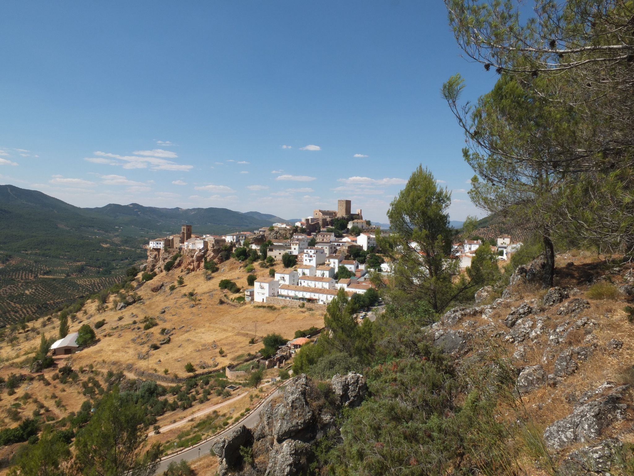
This Jaén town of around 1,800 inhabitants is nestled in the beautiful natural park of the Sierras de Cazorla, Segura y Las Villas. It is part of the network of the "Most Beautiful Towns in Spain" and is famous for its Mudejar castle, located at its highest point and surrounded by an old wall that still retains some towers.
3
0

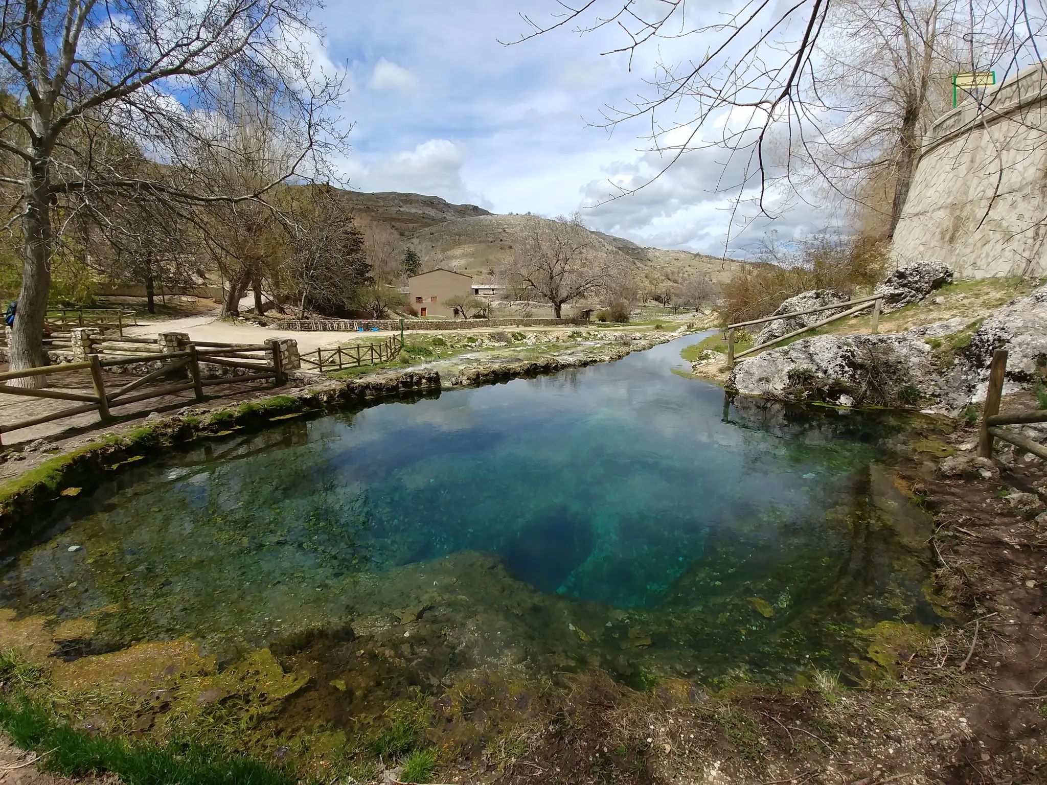
It is a huge natural cave from which abundant pure and fresh water flows, which in just a few meters adds to the Segura river that passes very close.
2
0
It is a huge natural cave from which abundant pure and fresh water flows, which in just a few meters adds to the Segura River that passes very close.
3
0
Frequently Asked Questions
What is the typical terrain like for running in Hornos?
Running in Hornos offers a unique experience across Magellanic moorlands and rugged coastlines where the Pacific and Atlantic Oceans converge. The terrain primarily consists of treeless peat, low-dense grasses, lichen, and mosses, all adapted to strong winds and cool temperatures. You'll also encounter gently sloping hills with rounded tops, providing varied elevation. In more sheltered areas, small wooded regions feature subantarctic tree species like Antarctic beech.
How challenging are the running routes in Hornos?
The running routes in Hornos are generally quite challenging. Out of the 7 routes available, 6 are classified as difficult, with one moderate option. For example, the El Yelmo - trail running in the Cazorla, Segura and Las Villas Sierras National Park route covers 11.7 miles (18.9 km) with over 750 meters of elevation gain, making it a demanding run.
Are there any circular running routes available in Hornos?
Yes, there are several circular running routes in Hornos. A popular option is the Charco del humo and cueva del agua from Pontones - circular trailrunning in the P. N. de las Sierras de Cazorla, Segura y las Villas, which is a difficult 10.5-mile (16.9 km) path exploring diverse landscapes. Another is the Alto del Montero Circular Trail, an 11.3-mile (18.3 km) route through varied terrain.
Are there any natural attractions or landmarks to see while running in Hornos?
While Hornos Island is known for its extreme natural beauty, specific attractions directly along the running routes are limited due to its remote nature. However, the region is part of the Cabo de Hornos National Park, a UNESCO Biosphere Reserve. You might encounter unique subantarctic ecosystems and rugged coastlines. Nearby, you can find natural features like Cueva del Agua and Charco del Humo, which are waterfalls and caves, though not necessarily directly on the main running paths.
What is the best time of year to go running in Hornos?
Hornos experiences an extreme climate characterized by cool temperatures, strong winds, and high humidity year-round. The best time for running would generally be during the austral summer (December to February) when temperatures are slightly milder, though conditions remain challenging. Always be prepared for harsh weather, regardless of the season, as strong winds averaging 84 knots are common.
Are there family-friendly running trails in Hornos?
Given the challenging nature of most routes in Hornos, with 6 out of 7 classified as difficult, dedicated family-friendly running trails are not a primary feature. The terrain is rugged and exposed, making it more suitable for experienced runners seeking a demanding adventure. There is one moderate route, Segura de la Sierra loop from Segura de la Sierra, which is 7.8 km long, but it still involves significant elevation changes.
Can I bring my dog on the running trails in Hornos?
The Cabo de Hornos National Park, which encompasses Hornos Island, is a protected area and a UNESCO Biosphere Reserve. While specific regulations for dogs on running trails are not detailed in the guide data, it's generally advisable to check with park authorities regarding pet policies in such sensitive ecosystems to protect the unique wildlife, including penguin colonies and diverse bird species.
What do other runners enjoy the most about jogging in Hornos?
The running routes in Hornos are highly rated by the komoot community, with an average score of 5.0 stars from over 1 review. More than 180 runners have used komoot to explore Hornos's varied terrain. Runners likely appreciate the unique subantarctic environment, the challenge of the rugged landscapes, and the sense of adventure in one of the world's most remote natural settings.
Are there any facilities or places to rest along the running routes?
While the running routes themselves are remote, there are some facilities in the broader Hornos region. For example, you can find shelters like Campo del Espino Shelter and C.F. El Campillo Shelter, as well as Camping Llanos de Arance. These are not directly on every running path but offer options for rest or overnight stays in the area.
What kind of wildlife might I encounter while running in Hornos?
While terrestrial fauna is scarce on Hornos Island, its coasts host many penguin colonies, benefiting from the absence of land predators. The Cabo de Hornos National Park is an Important Bird Area, supporting significant populations of Magellanic penguins, southern giant petrels, kelp gulls, red-legged cormorants, and southern royal albatrosses. Marine mammals such as leopard seals, dolphins, whales, and sea lions are also present in the surrounding waters.
How many running routes are available in Hornos?
There are 7 distinct running routes available around Hornos, offering a range of challenging experiences for trail runners. These routes vary in length and elevation, providing options for different levels of endurance, though most are classified as difficult.
Is public transport available to reach the running trails in Hornos?
Access to Hornos Island, and consequently its running trails, is typically via expedition cruises. There is no conventional public transport like buses or trains to reach the island directly. Visitors usually arrive as part of organized tours that include transportation to this remote location.
Most popular attractions around Hornos

Get inspired with the komoot mobile app


Explore more
Browse the best Running Trails & Routes in other regions.
